Elevation of Iron Peak, Washington, USA
Location: United States > Washington > Kittitas County > Cle Elum >
Longitude: -120.9003649
Latitude: 47.4153963
Elevation: 1874m / 6148feet
Barometric Pressure: 0KPa
Related Photos:
Mount Stuart
Lake Ingalls and Mount Stewart
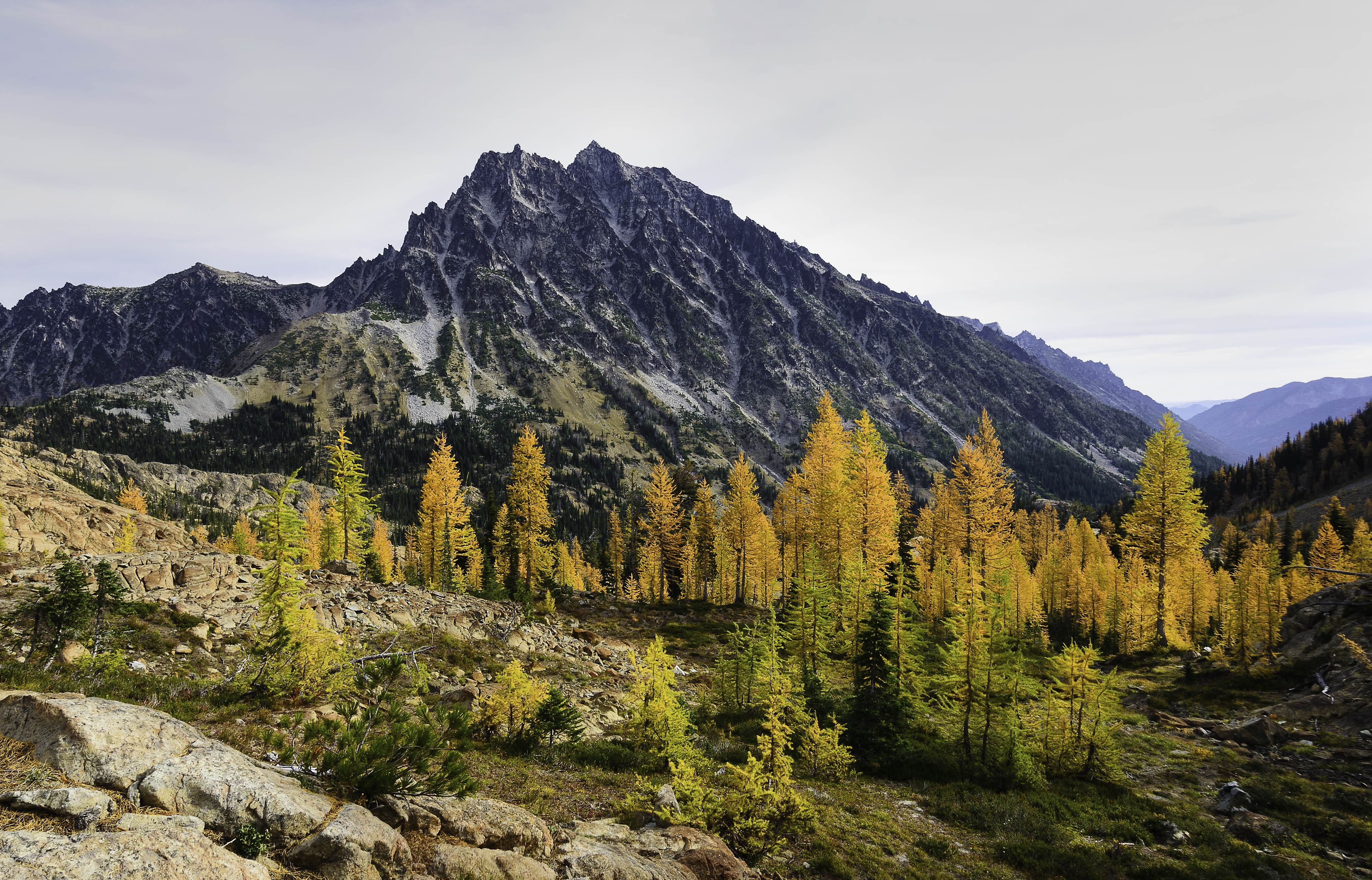
Larch in the Basin
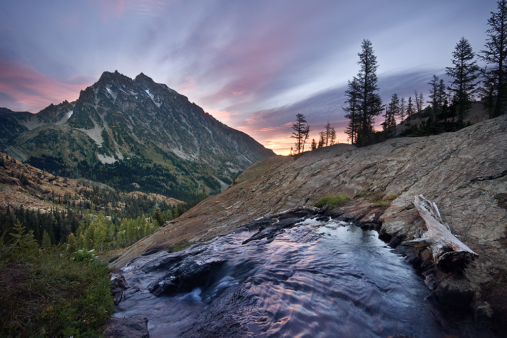
Sunrise, Mount Stuart, Wenatchee National Forest
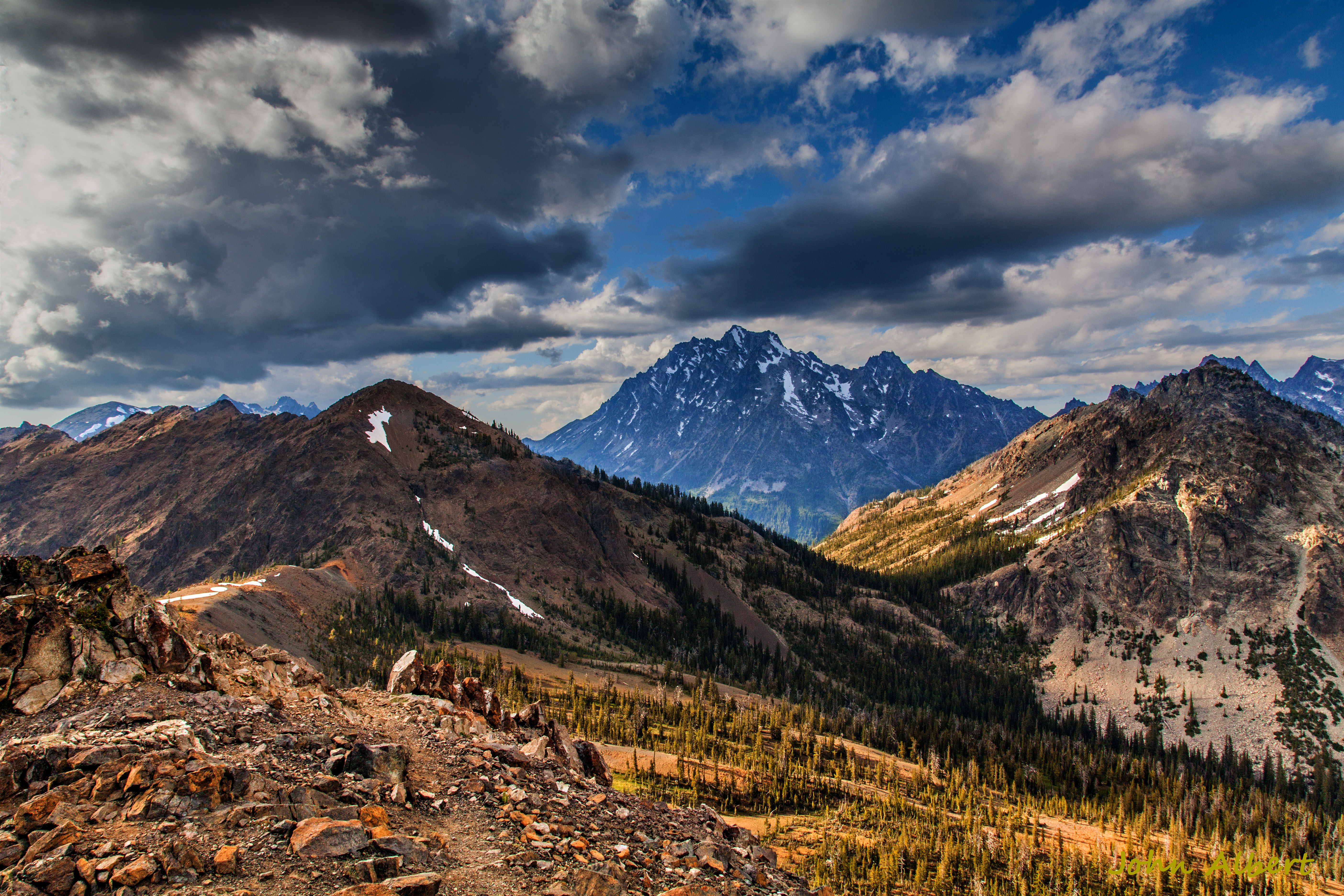
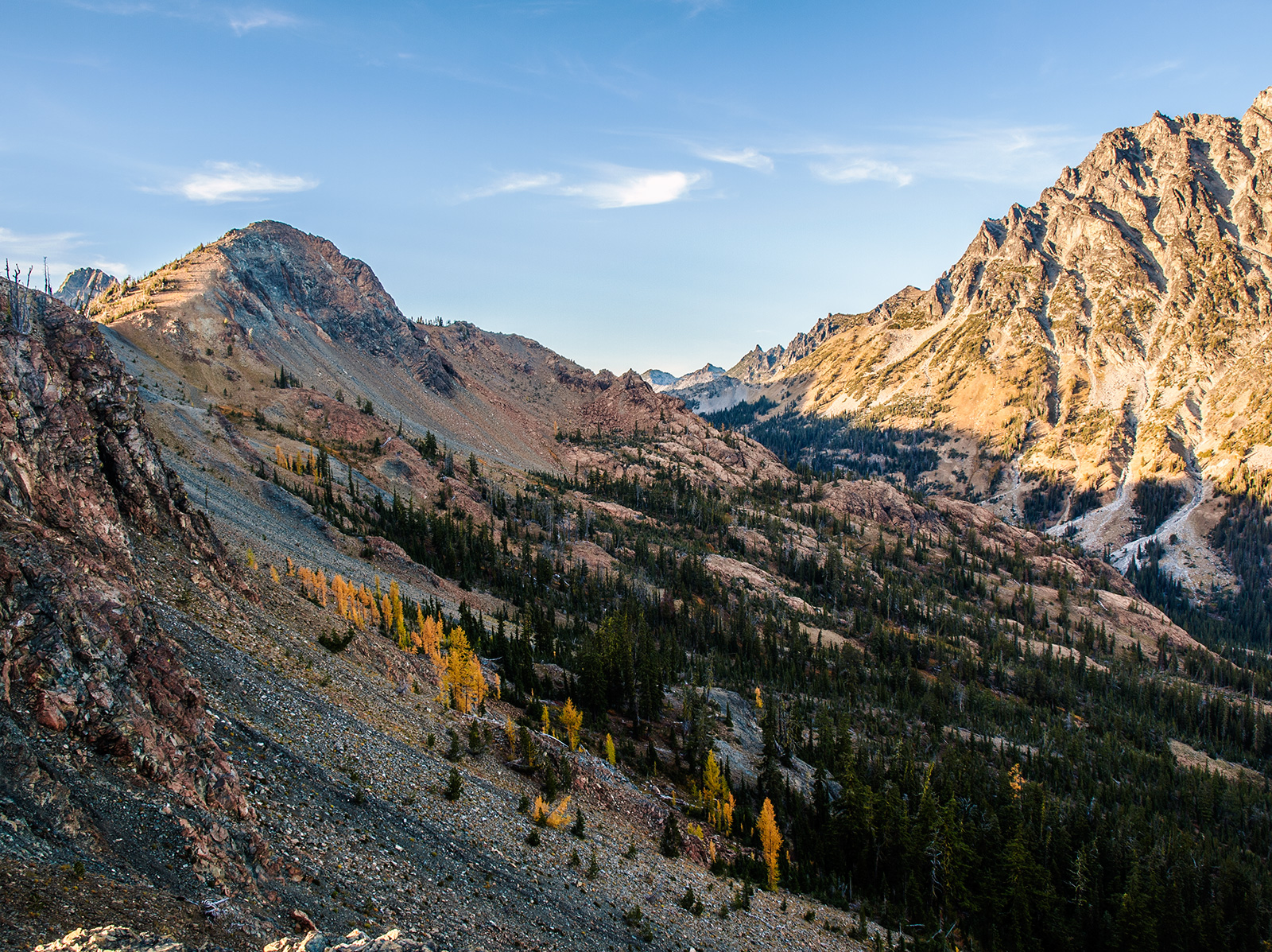
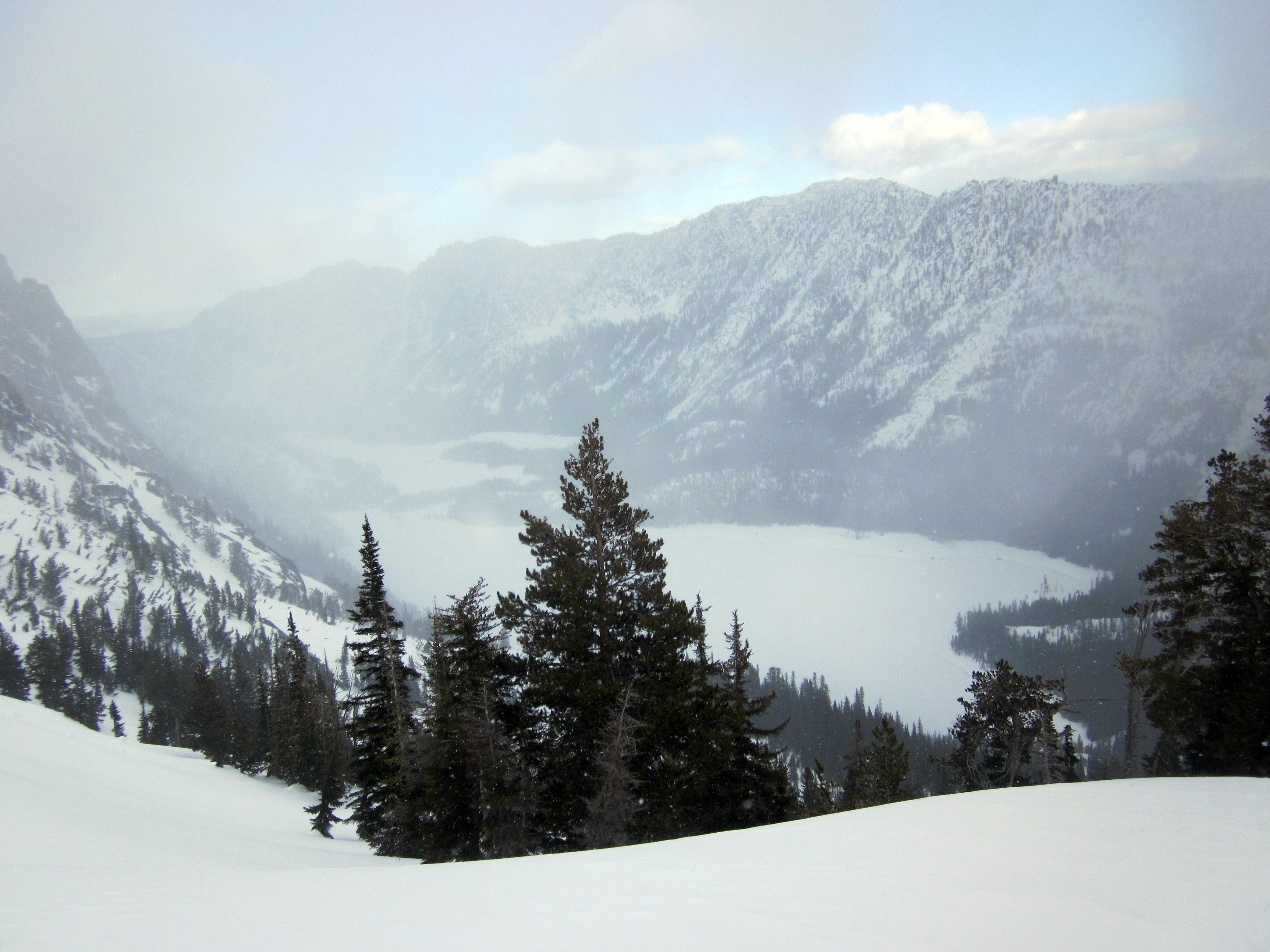
The Iron View

slide2-36
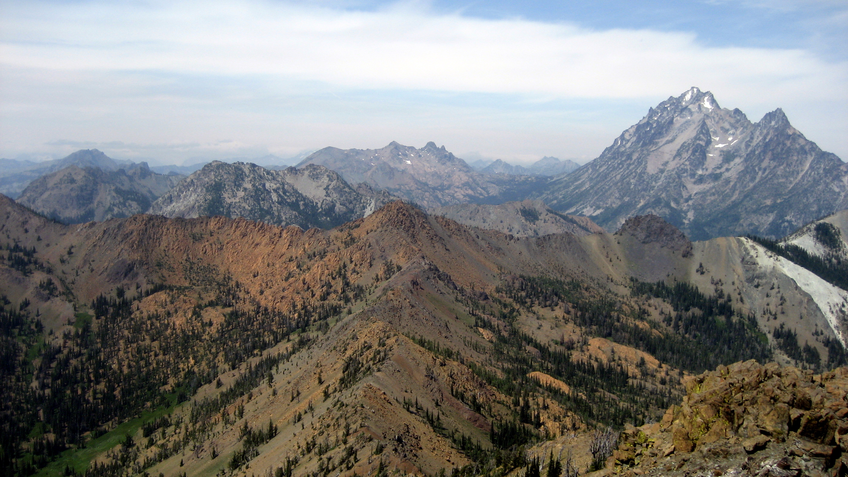
The Northern End

slide2-13

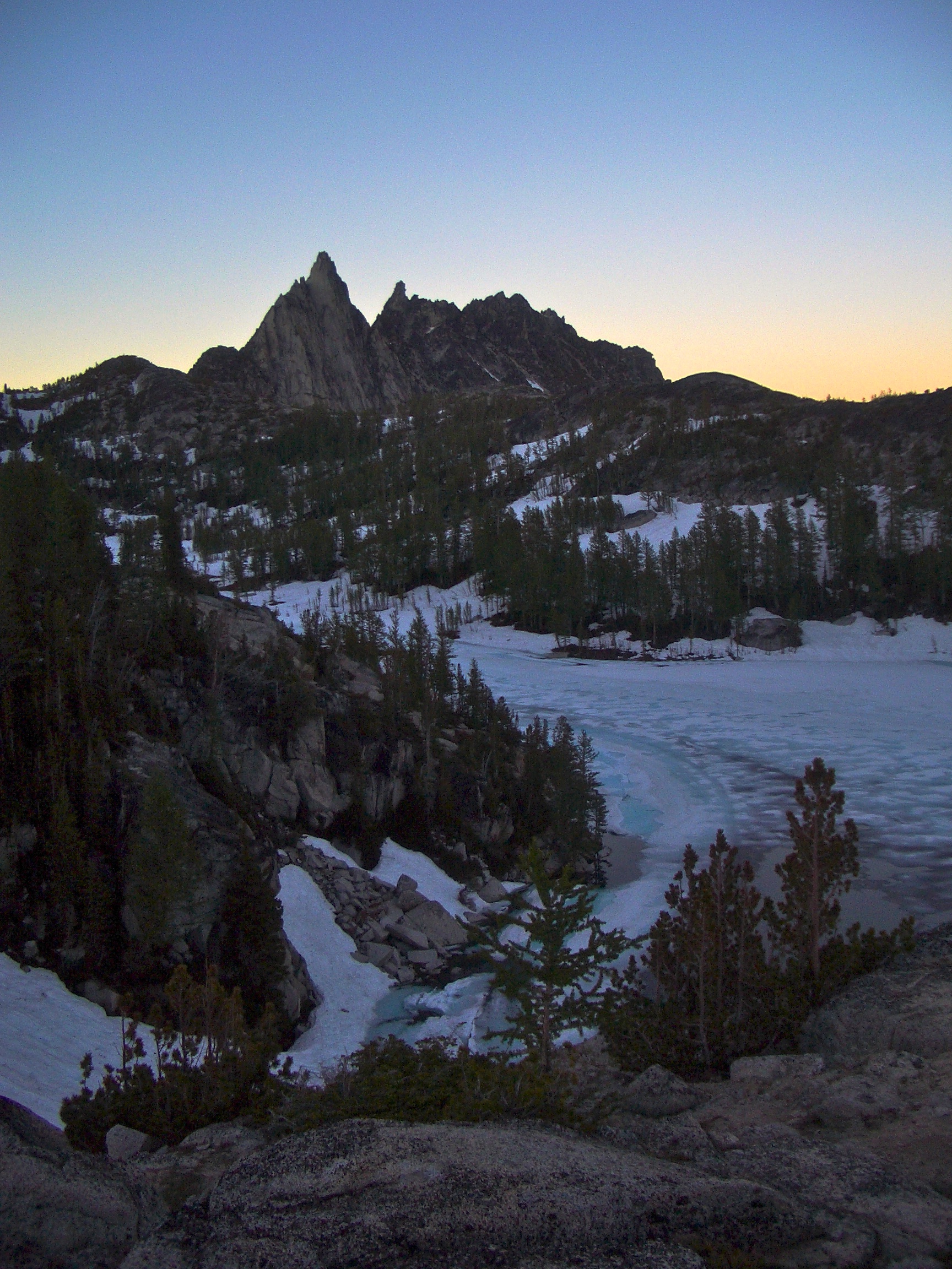
Descending to Snow Lake

Hanging On

slide2-23
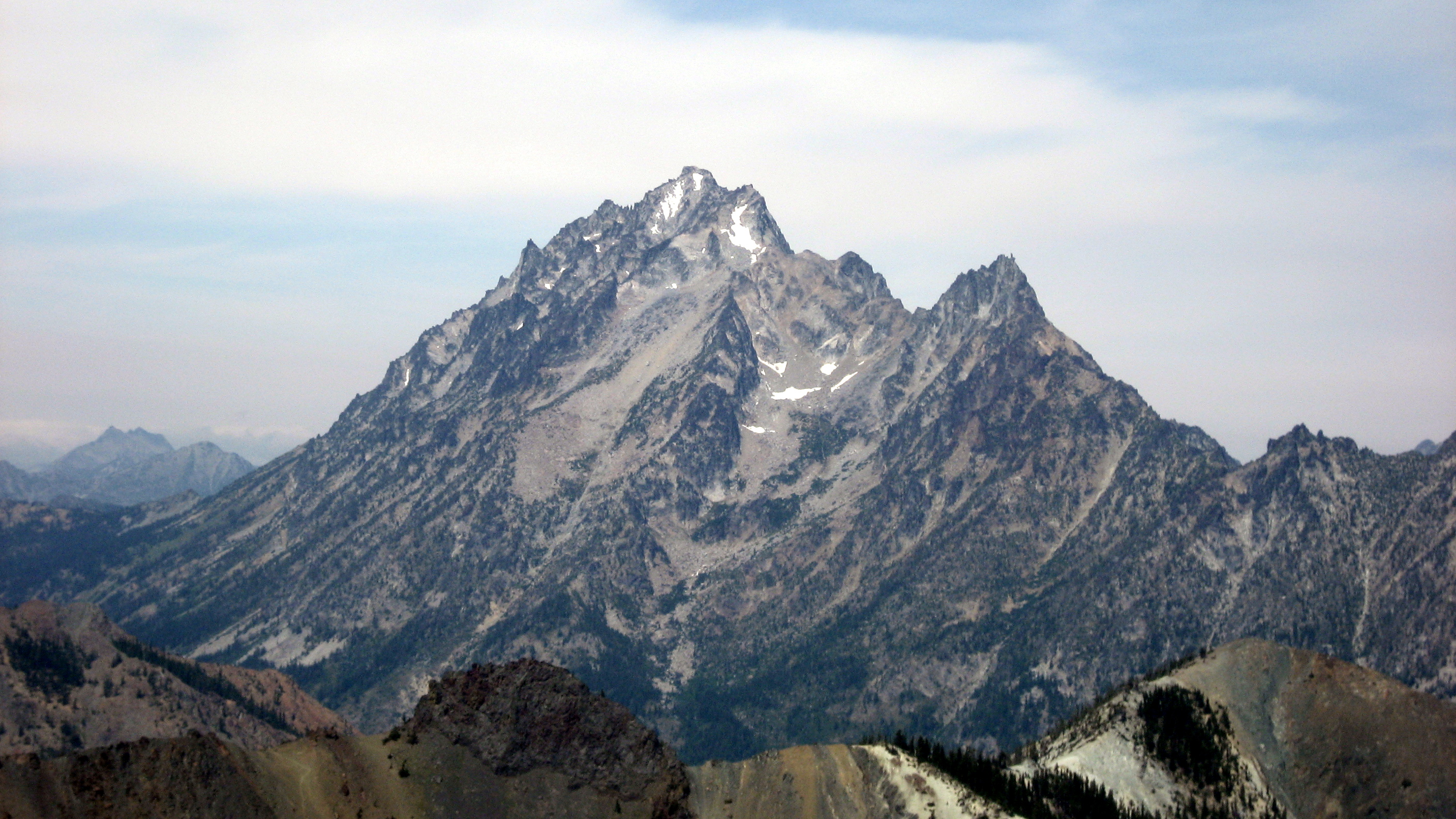
Mount Stuart

View From Camp At Inspiration Lake

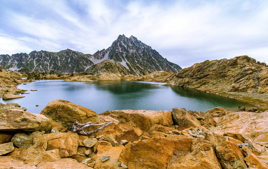
Ingalls Lake and Mt Stuart
Nice view of Prusik from our campsite

View South From The Summit Of Little Annapurna
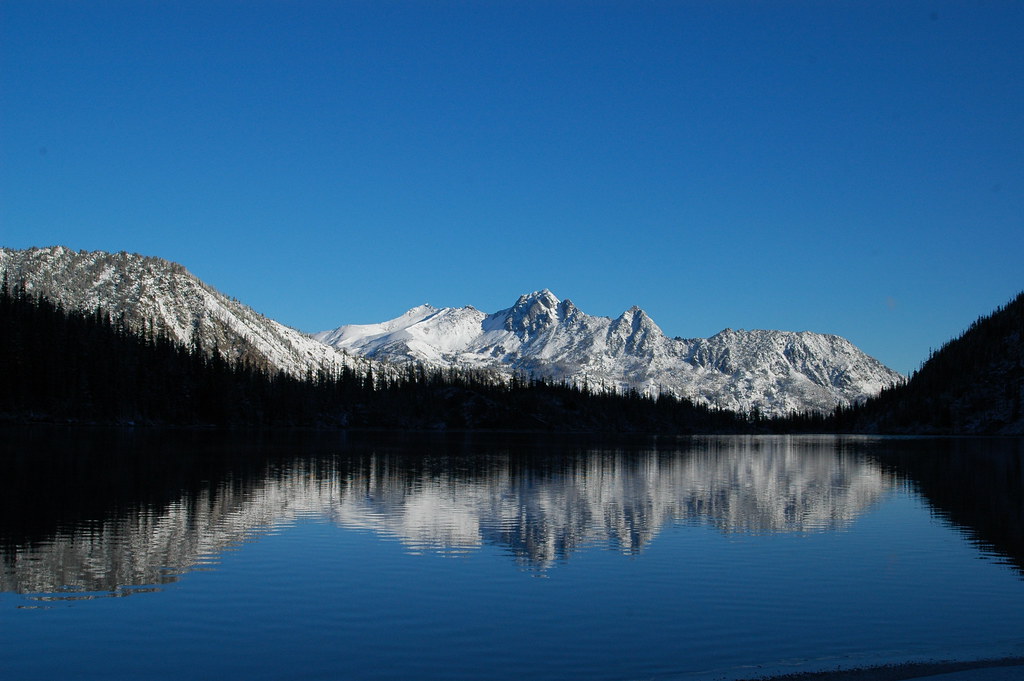
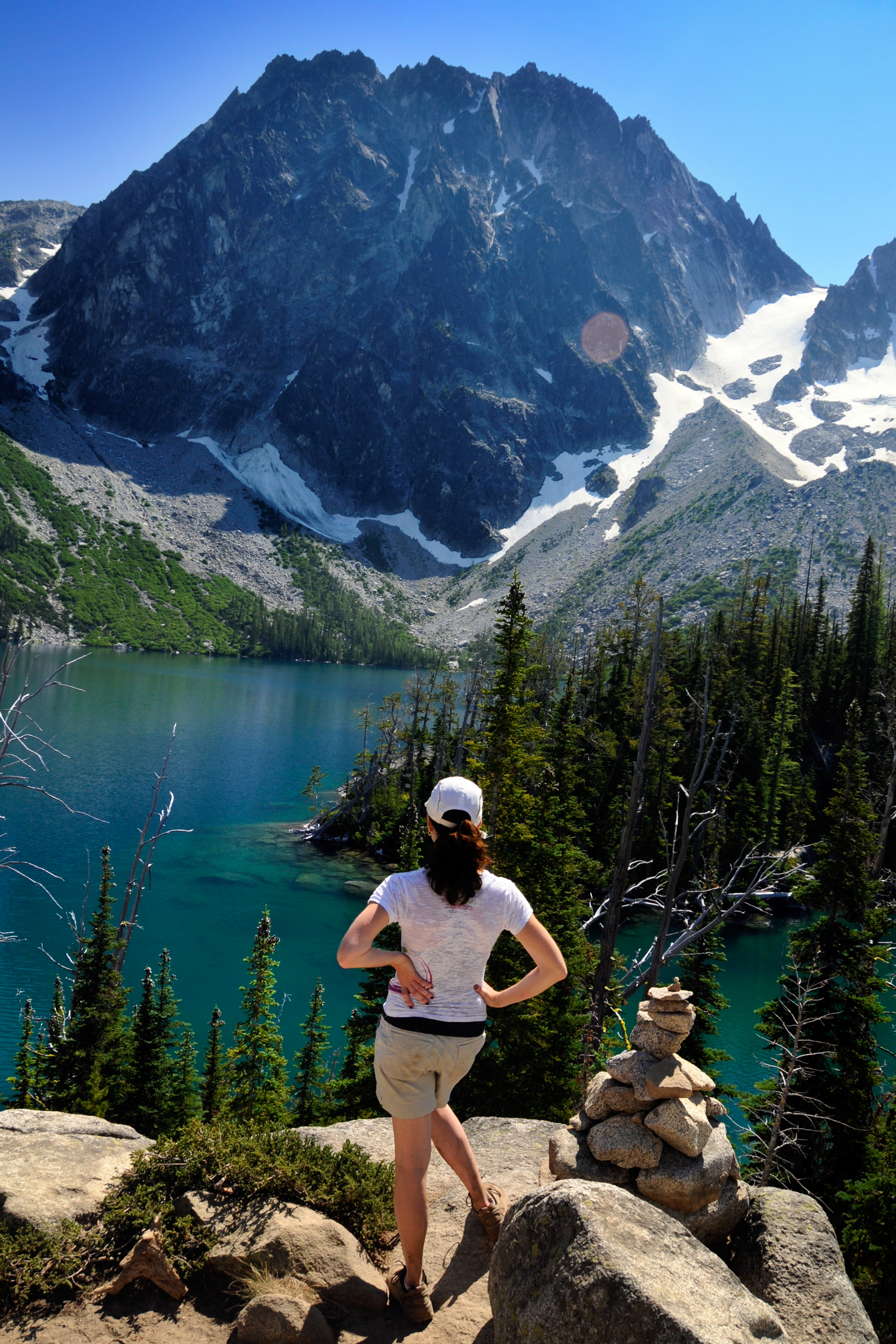
View down to Snow Lakes

Our reward: an amazing view with Rainier in the background

View Towards Snow Lakes From The Summit Of Little Annapurna
Bean Peak
~outstanding~
Topographic Map of Iron Peak, Washington, USA
Find elevation by address:

Places near Iron Peak, Washington, USA:
Earl Peak
Sherpa Peak
Mount Stuart
Columbia River
Argonaut Peak
Colchuck Peak
Dragontail Peak
Navajo Peak
Jack Ridge
Eightmile Mountain
Three Brothers West
Mcclellan Peak
Cannon Mountain
Teanaway Road North Fork
Three Brothers-middle
The Temple
Miller Peak
Edward Peak
Red Top Lookout
Eightmile Campground
Recent Searches:
- Elevation of Pasing, Munich, Bavaria, 81241, Germany
- Elevation of 24, Auburn Bay Crescent SE, Auburn Bay, Calgary, Alberta, T3M 0A6, Canada
- Elevation of Denver, 2314, Arapahoe Street, Five Points, Denver, Colorado, 80205, USA
- Elevation of Community of the Beatitudes, 2924, West 43rd Avenue, Sunnyside, Denver, Colorado, 80211, USA
- Elevation map of Litang County, Sichuan, China
- Elevation map of Madoi County, Qinghai, China
- Elevation of 3314, Ohio State Route 114, Payne, Paulding County, Ohio, 45880, USA
- Elevation of Sarahills Drive, Saratoga, Santa Clara County, California, 95070, USA
- Elevation of Town of Bombay, Franklin County, New York, USA
- Elevation of 9, Convent Lane, Center Moriches, Suffolk County, New York, 11934, USA
- Elevation of Saint Angelas Convent, 9, Convent Lane, Center Moriches, Suffolk County, New York, 11934, USA
- Elevation of 131st Street Southwest, Mukilteo, Snohomish County, Washington, 98275, USA
- Elevation of 304, Harrison Road, Naples, Cumberland County, Maine, 04055, USA
- Elevation of 2362, Timber Ridge Road, Harrisburg, Cabarrus County, North Carolina, 28075, USA
- Elevation of Ridge Road, Marshalltown, Marshall County, Iowa, 50158, USA
- Elevation of 2459, Misty Shadows Drive, Pigeon Forge, Sevier County, Tennessee, 37862, USA
- Elevation of 8043, Brightwater Way, Spring Hill, Williamson County, Tennessee, 37179, USA
- Elevation of Starkweather Road, San Luis, Costilla County, Colorado, 81152, USA
- Elevation of 5277, Woodside Drive, Baton Rouge, East Baton Rouge Parish, Louisiana, 70808, USA
- Elevation of 1139, Curtin Street, Shepherd Park Plaza, Houston, Harris County, Texas, 77018, USA