Elevation of Iron Mountain Road, Iron Mountain Rd, Kyburz, CA, USA
Location: United States > California > El Dorado County >
Longitude: -120.31686
Latitude: 38.6788772
Elevation: 1912m / 6273feet
Barometric Pressure: 80KPa
Elevation Map:
Satellite Map:
Related Photos:
Magical Sunset
Peddler Hill Overlook Panorama

Carson Pass Sunset
Aerial view of mountain range over eastern California
Carson Pass

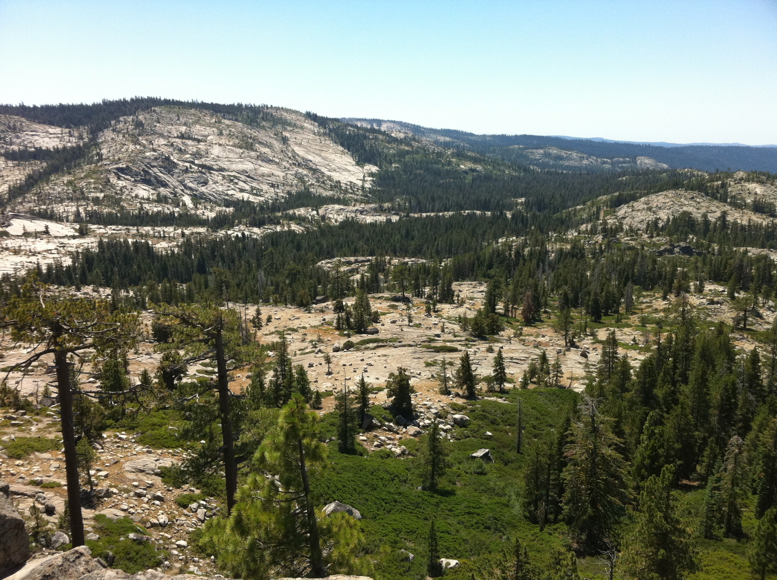
Valley View

Bird's eye view of the middle spire
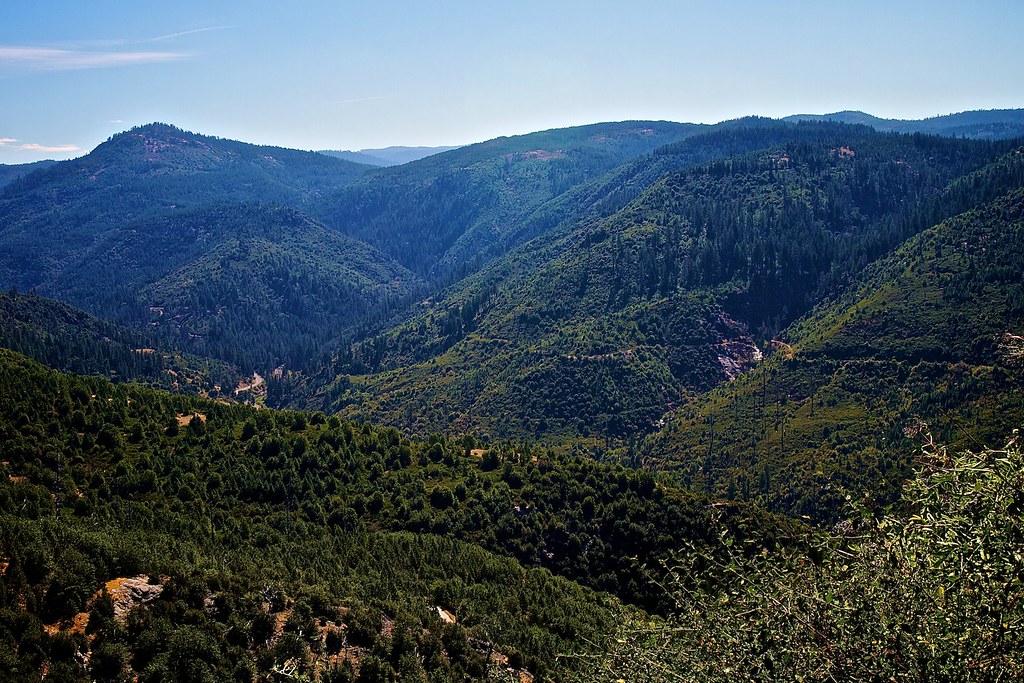
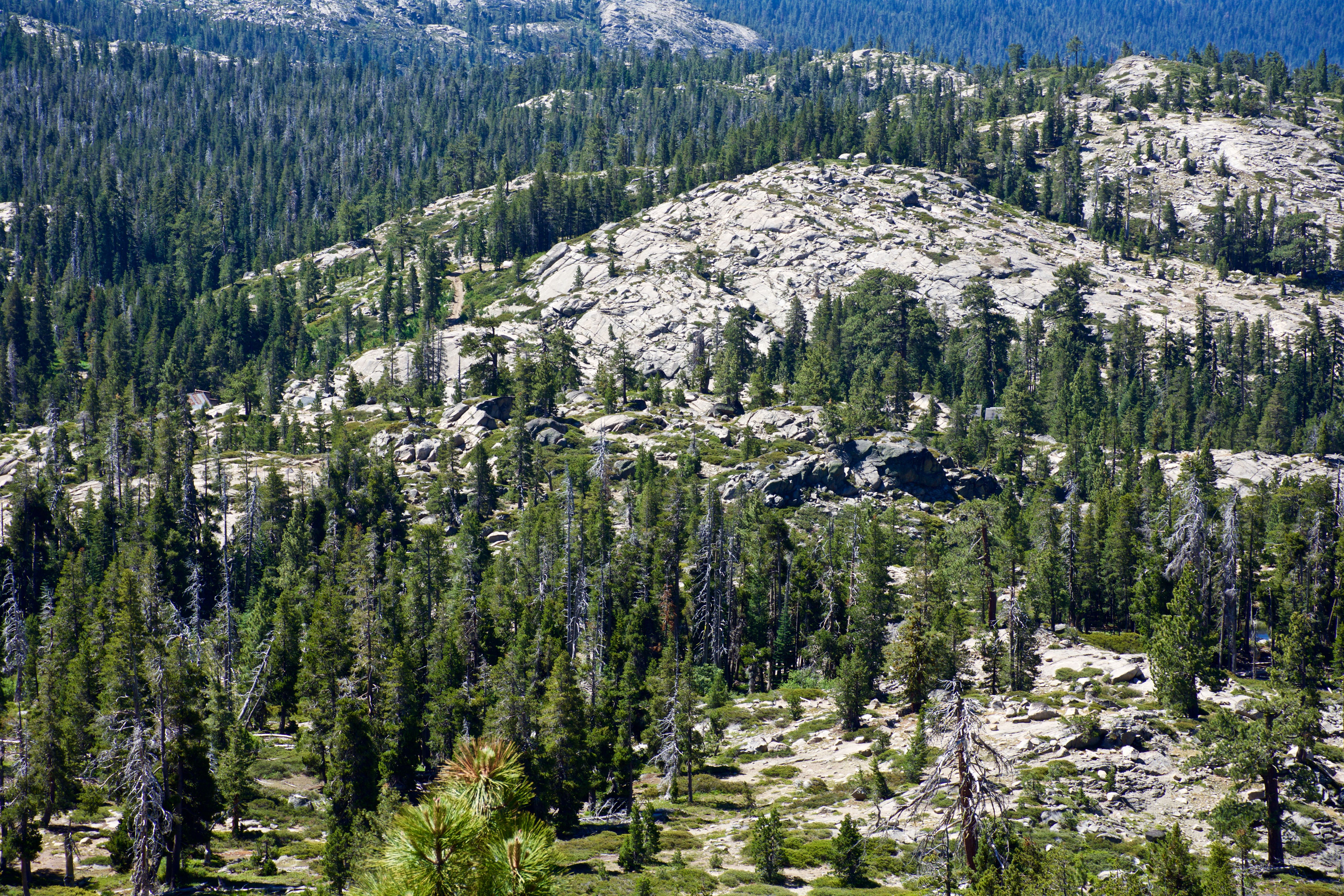
South Fork American River Valley
View of Lower Bear River Reservoir from Peddler HIll Overlook
Viewpoint on CA 88
View from Shot Rock Vista 5

Closer view of the middle spire

View from on belay
The view from Shot Rock
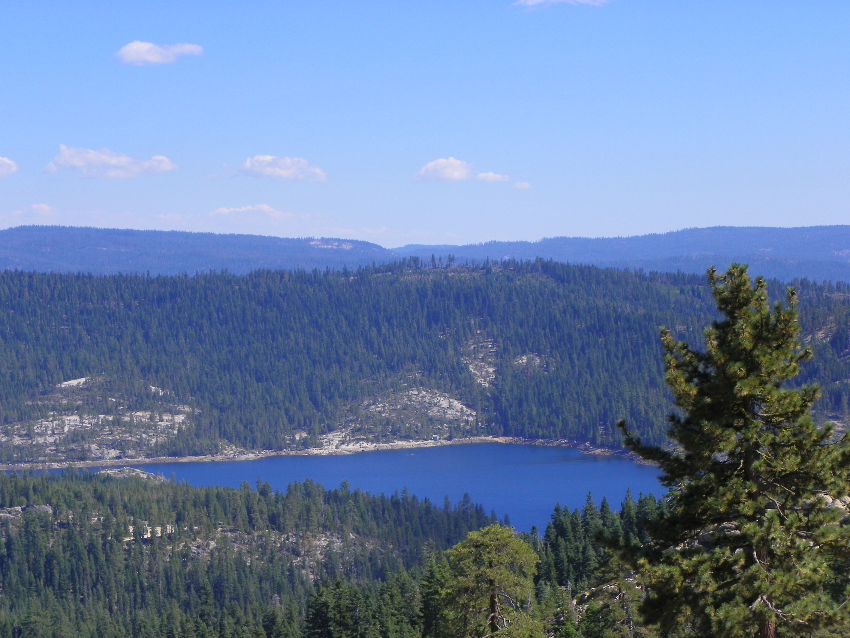
Lower Bear River Reservoir
Sunset over the Valley - Explored
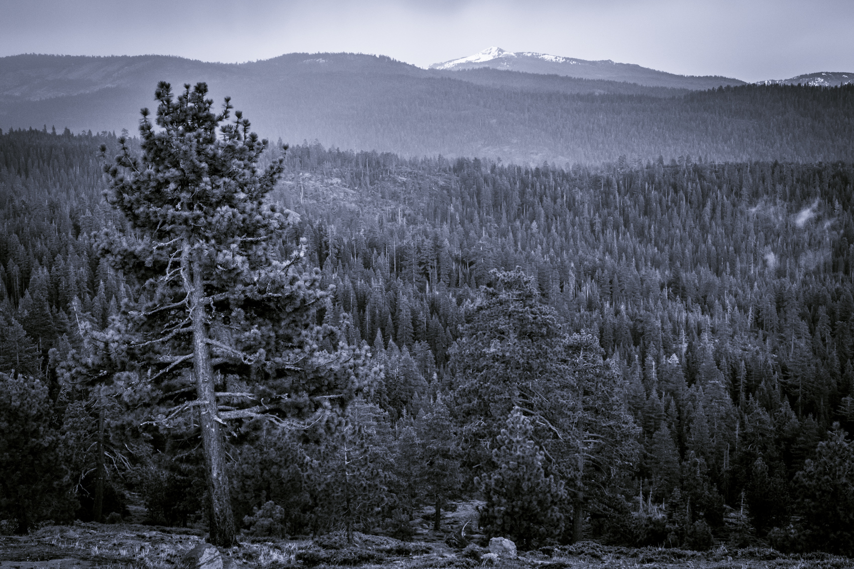
Winter Reflections

20170319-DJI_0110
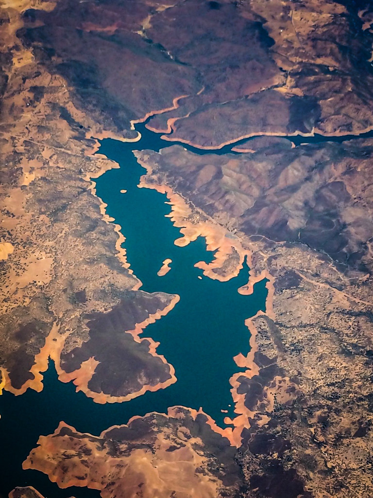
Aerial view of a reservoir over California

Eagle Rock - South Fork American River
U.S. Route 50 California Mtns
DSC_1253-a16
Let it snow!! Quick weekend trip to Sierra.
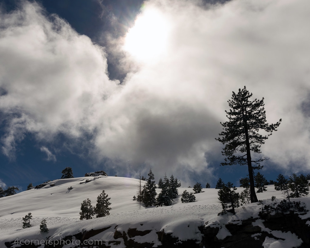
Sun and Clouds, Amador County, CA
DSC_1197-a7

Eagle Rock - South Fork American River
DSC_1245-a13
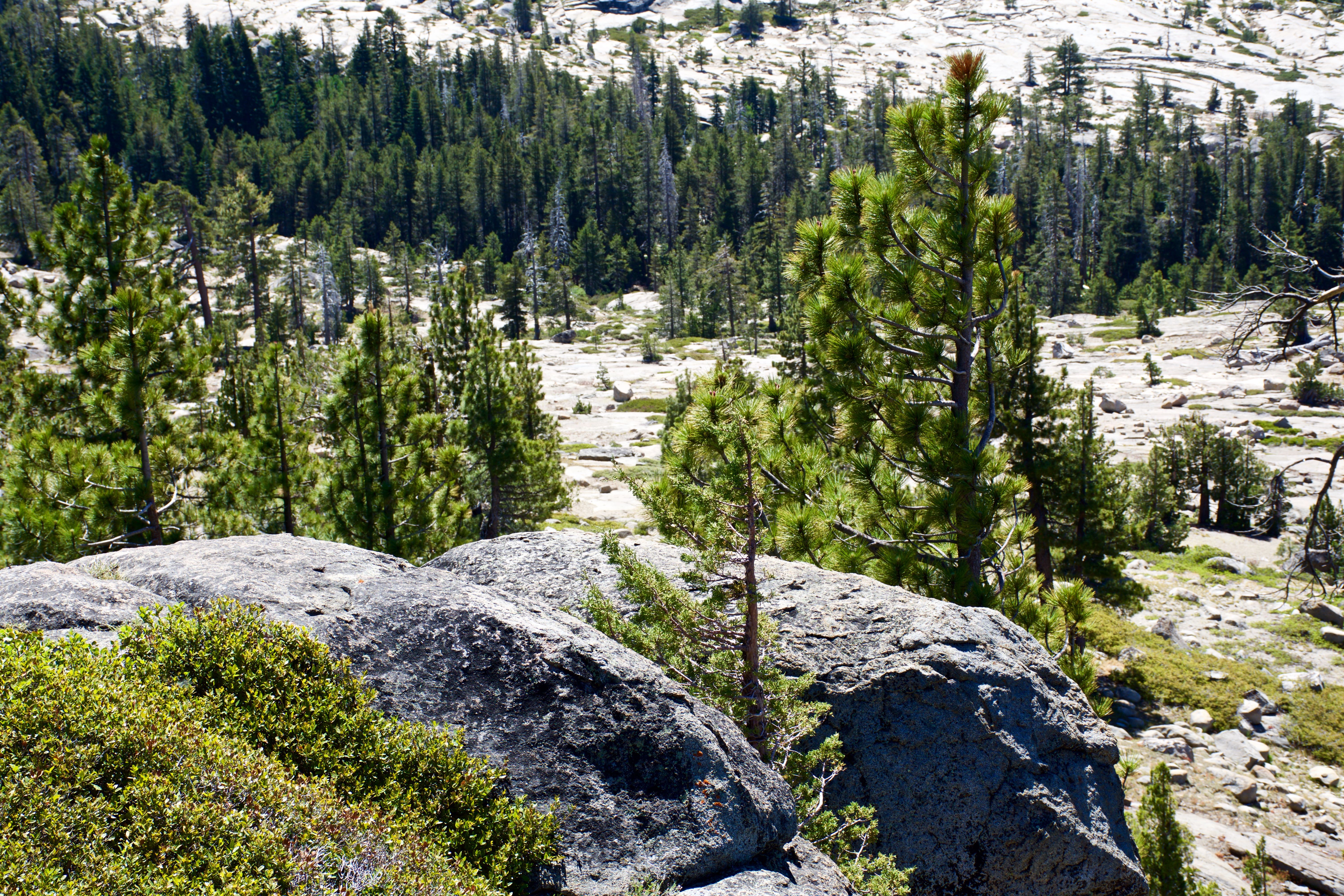
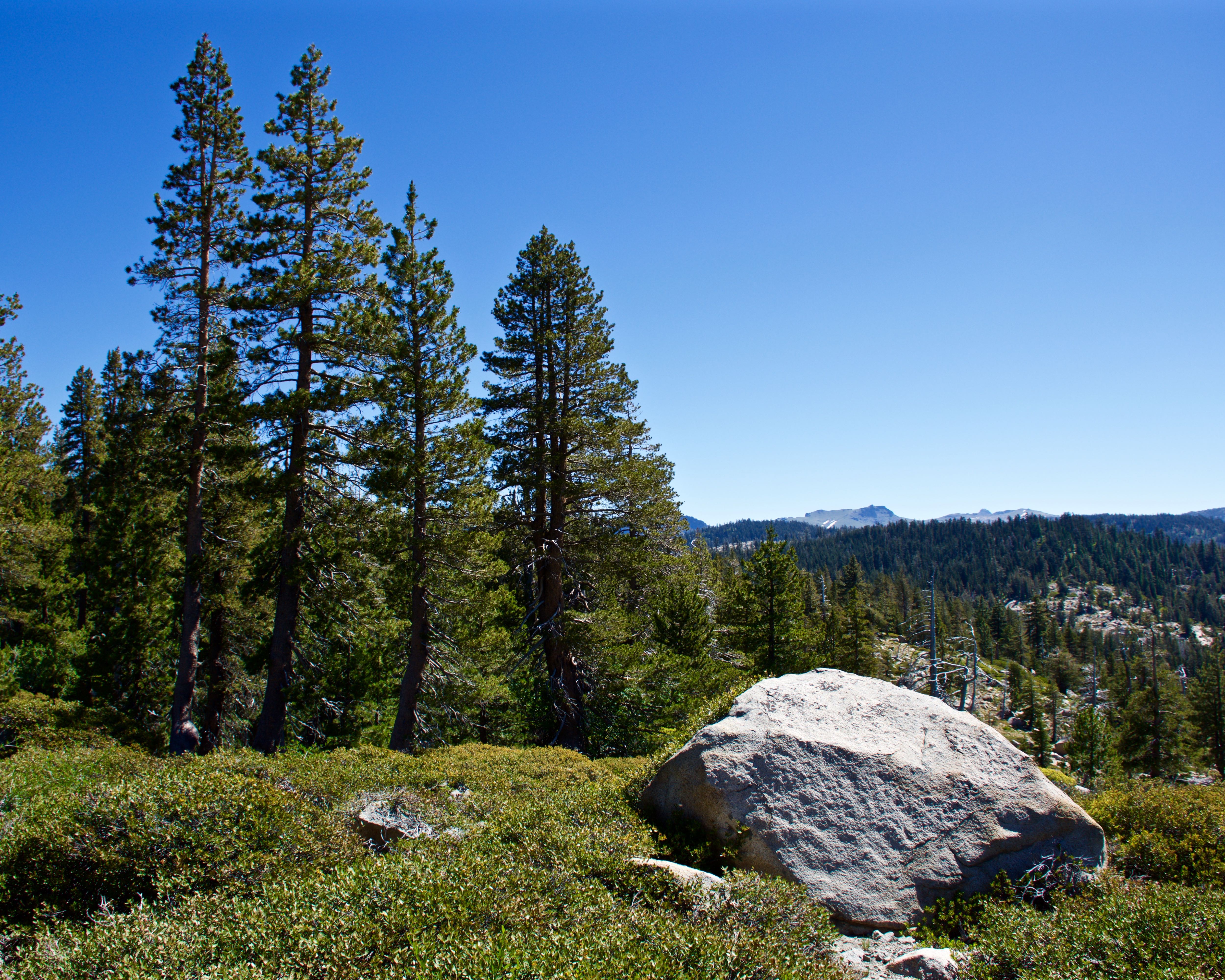
Pine Forest From Peddler Hill Overlook
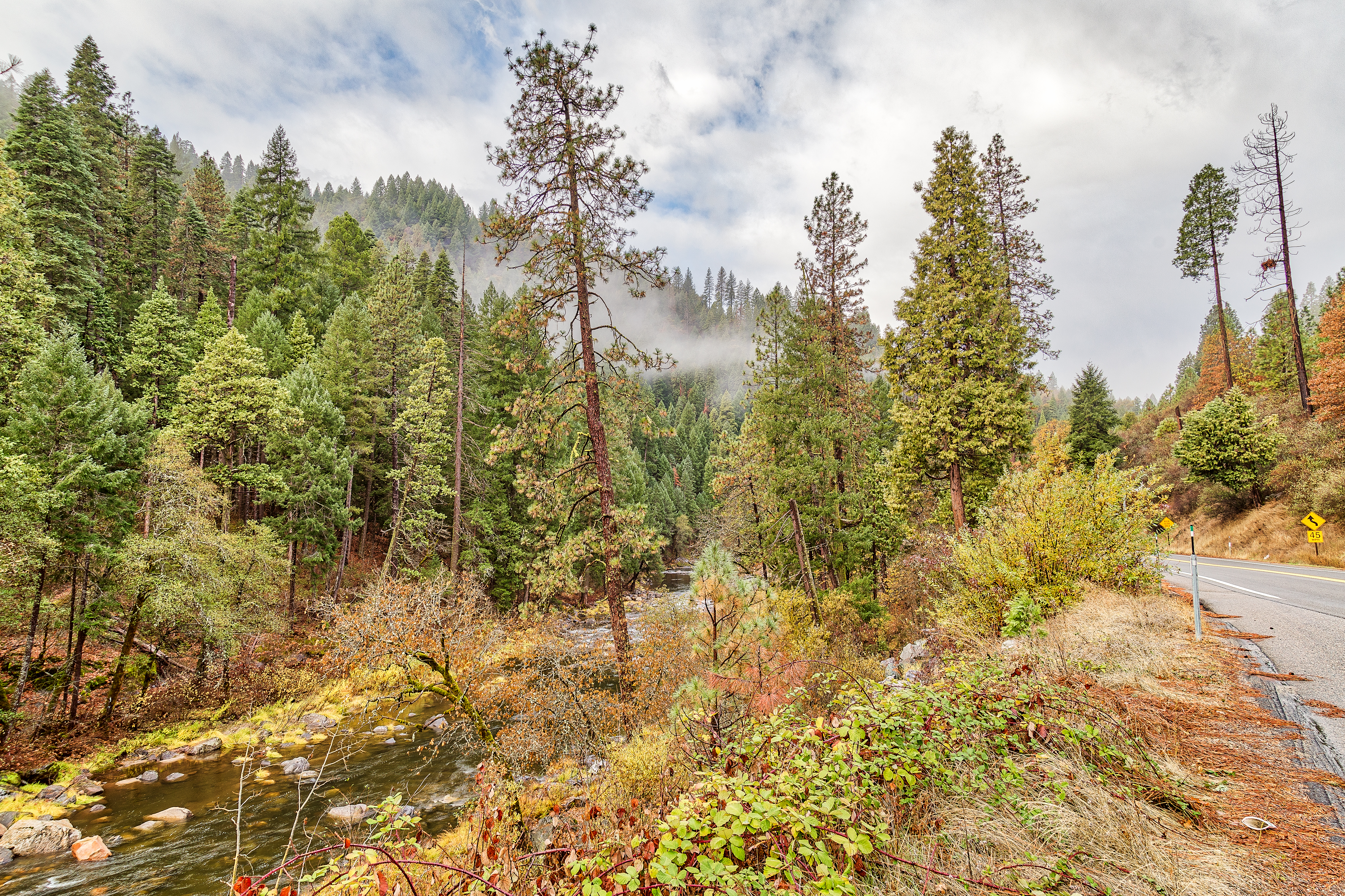
American River
SR88 near the summit

Eagle Rock - South Fork American River
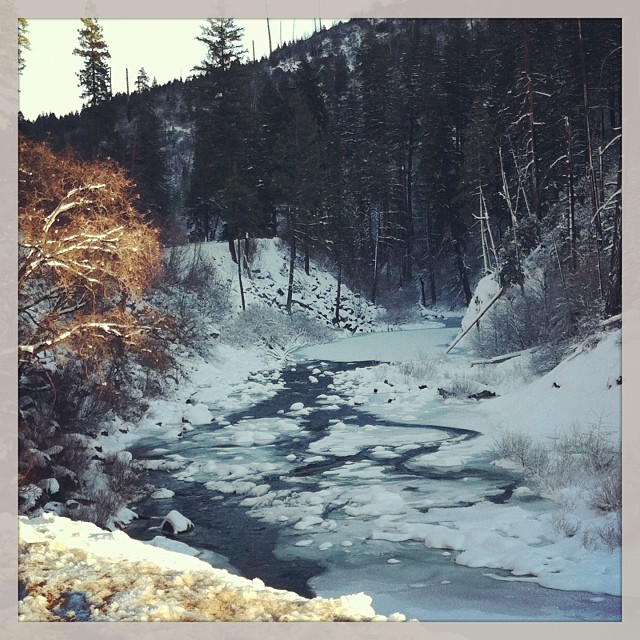
Ice and Water
20130821_11.jpg
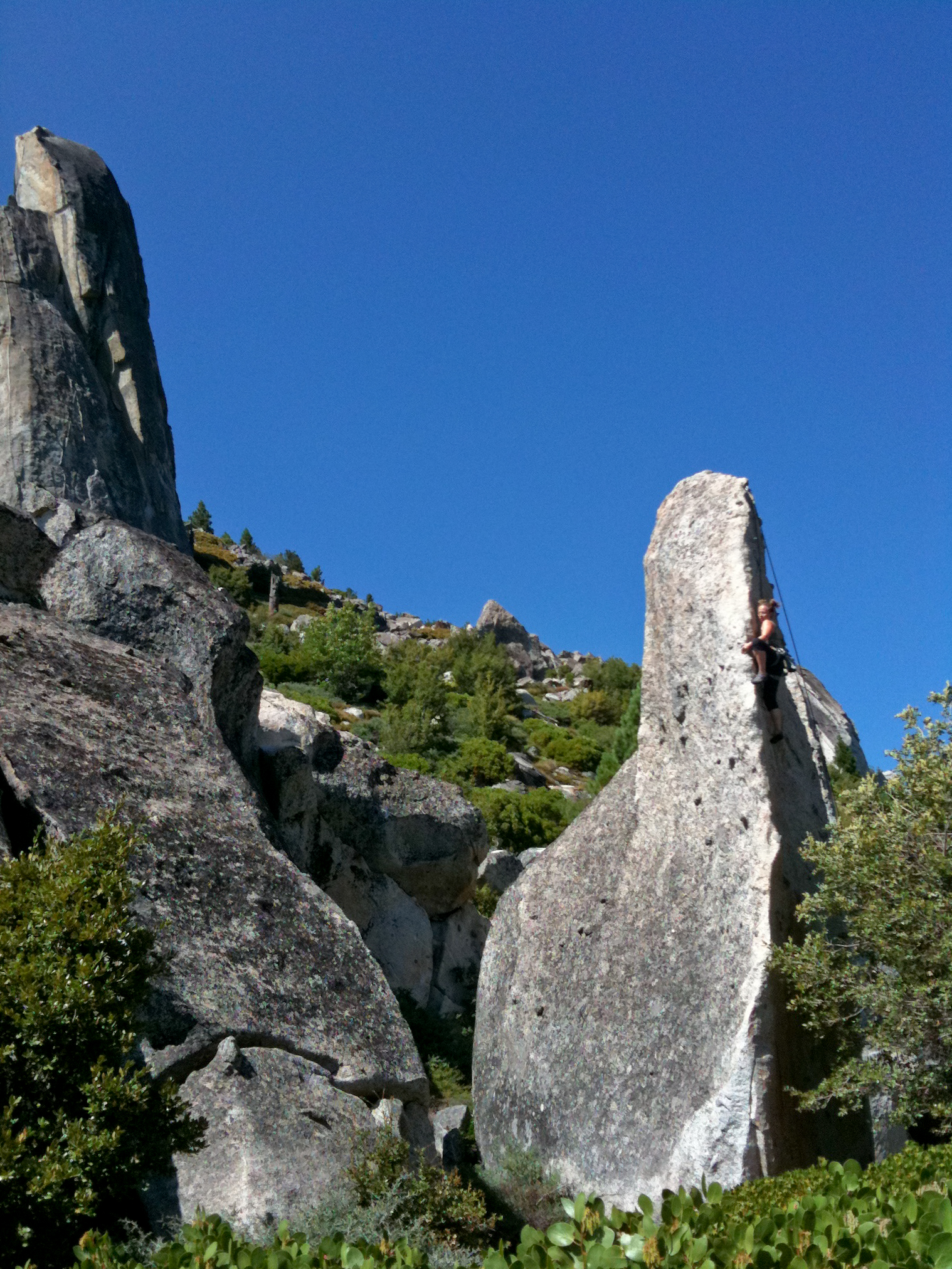
Nev on the Shark's Tooth
Topographic Map of Iron Mountain Road, Iron Mountain Rd, Kyburz, CA, USA
Find elevation by address:

Places near Iron Mountain Road, Iron Mountain Rd, Kyburz, CA, USA:
Kyburz
41 34 Milestone Tract #36
41 34 Milestone Tract
41 34 Milestone Tract
41 34 Milestone Tract
30 34 Milestone Tract
El Dorado County
10272 Bull Creek Rd
Ice House Reservoir
Pollock Pines, CA, USA
White Meadow Rd, Pollock Pines, CA, USA
Pacific House
9000 Happy Valley Rd
Eldorado National Forest
Spring Valley Rd, Pollock Pines, CA, USA
Spring Valley Road
7720 Us-50
Jenkinson Lake
7104 Stacy Ln
Garnet Road
Recent Searches:
- Elevation of Elwyn Dr, Roanoke Rapids, NC, USA
- Elevation of Congressional Dr, Stevensville, MD, USA
- Elevation of Bellview Rd, McLean, VA, USA
- Elevation of Stage Island Rd, Chatham, MA, USA
- Elevation of Shibuya Scramble Crossing, 21 Udagawacho, Shibuya City, Tokyo -, Japan
- Elevation of Jadagoniai, Kaunas District Municipality, Lithuania
- Elevation of Pagonija rock, Kranto 7-oji g. 8"N, Kaunas, Lithuania
- Elevation of Co Rd 87, Jamestown, CO, USA
- Elevation of Tenjo, Cundinamarca, Colombia
- Elevation of Côte-des-Neiges, Montreal, QC H4A 3J6, Canada