Elevation of Interstate 85, I-85, Carnesville, GA, USA
Location: United States > Georgia > Franklin County > Carnesville >
Longitude: -83.280318
Latitude: 34.3678287
Elevation: 206m / 676feet
Barometric Pressure: 99KPa
Elevation Map:
Satellite Map:
Related Photos:

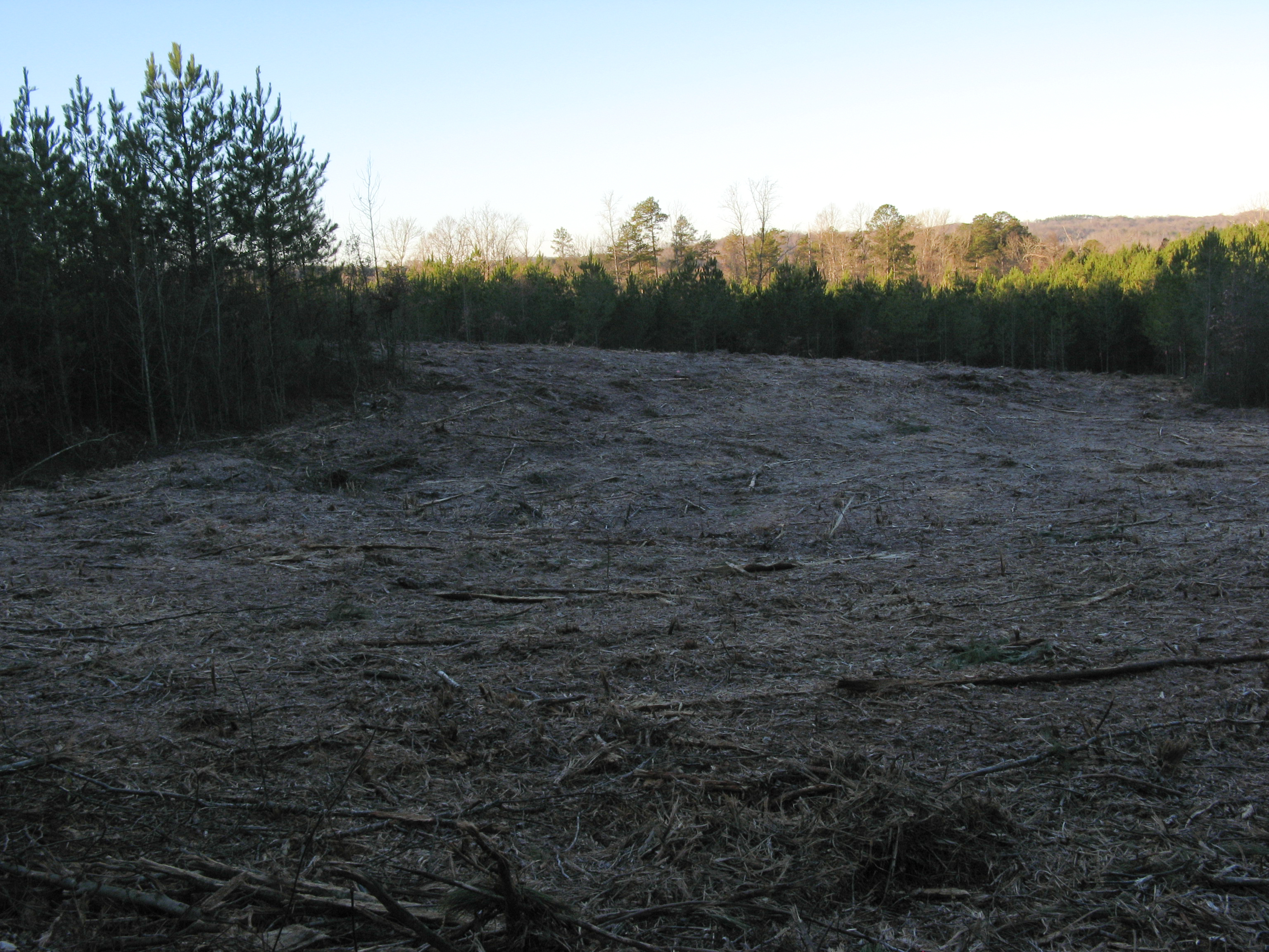
The view from downtown Carnesville. After lunch with Roger, Gerry, John and Karen.
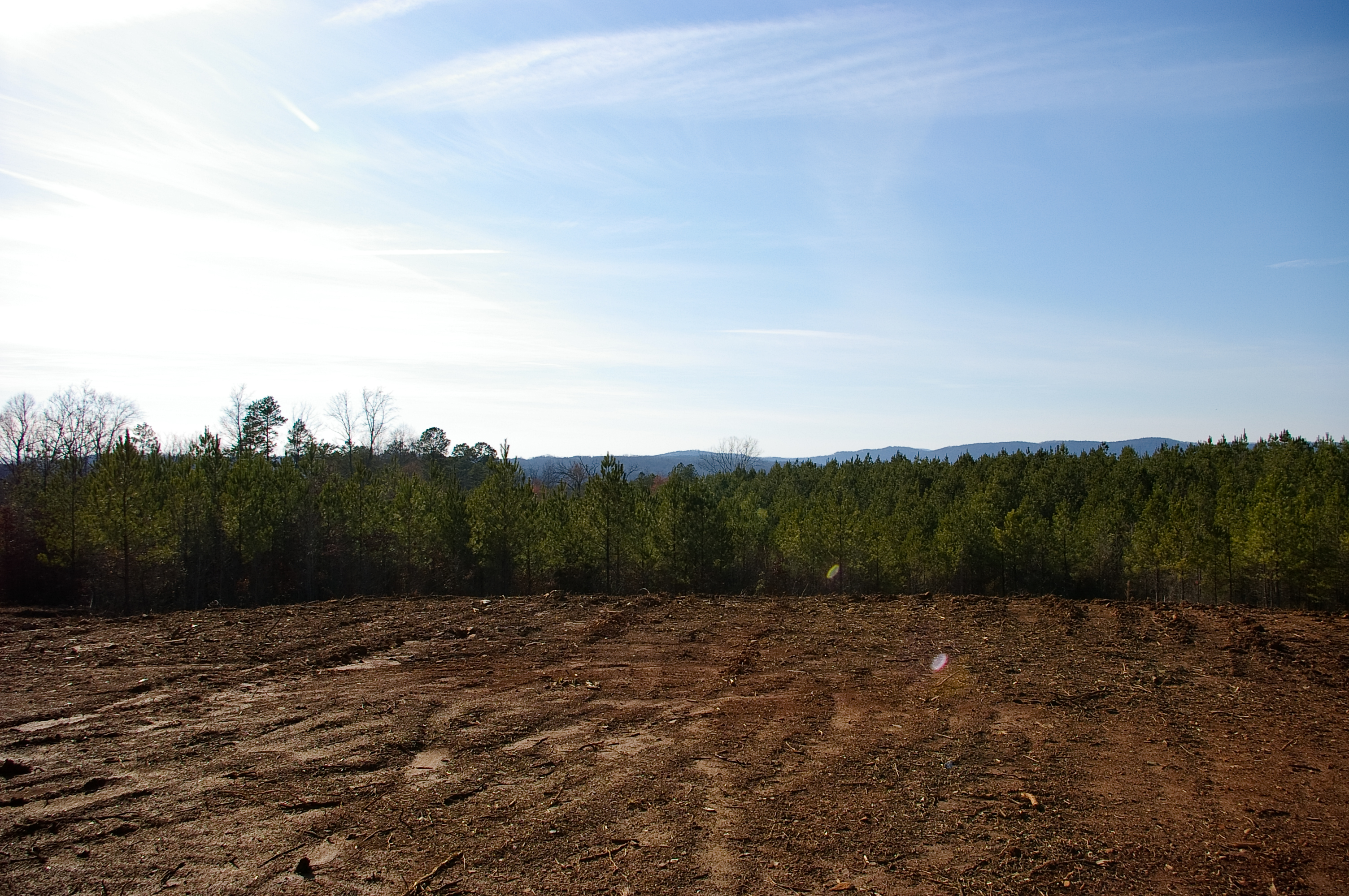
View From Future Home Site
View From Bottom of Hill
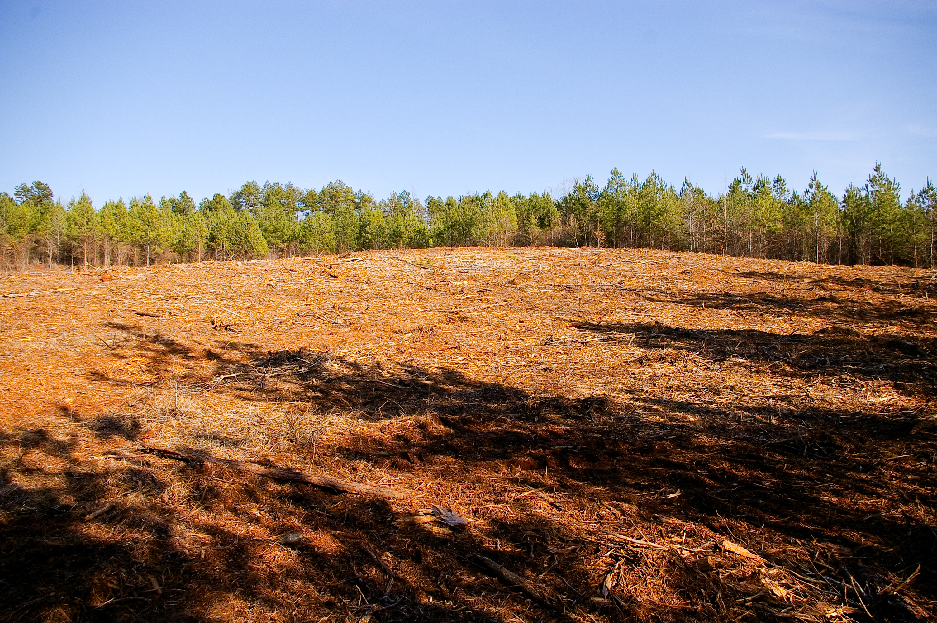
Future Location of the House

View from Driveway
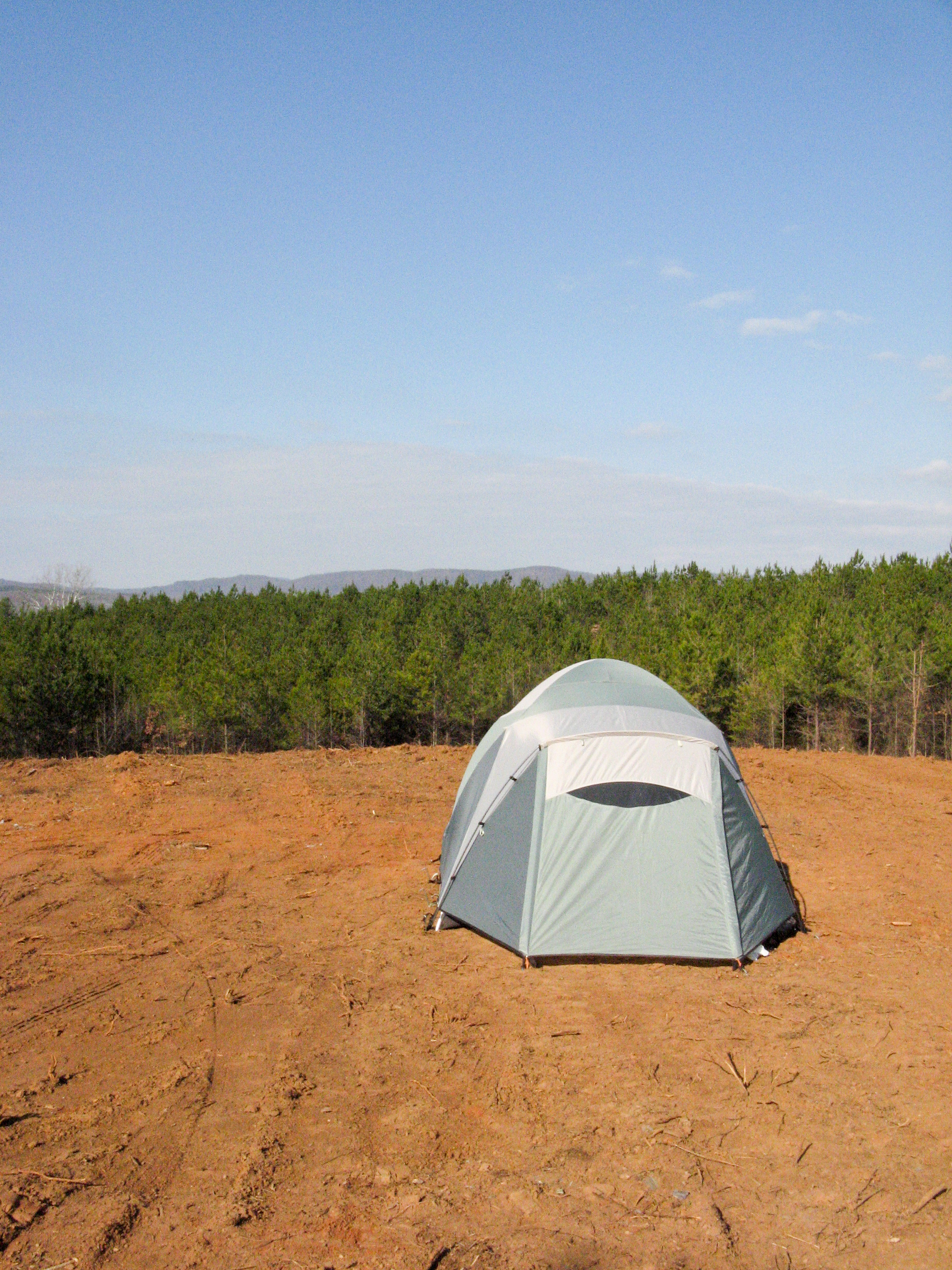
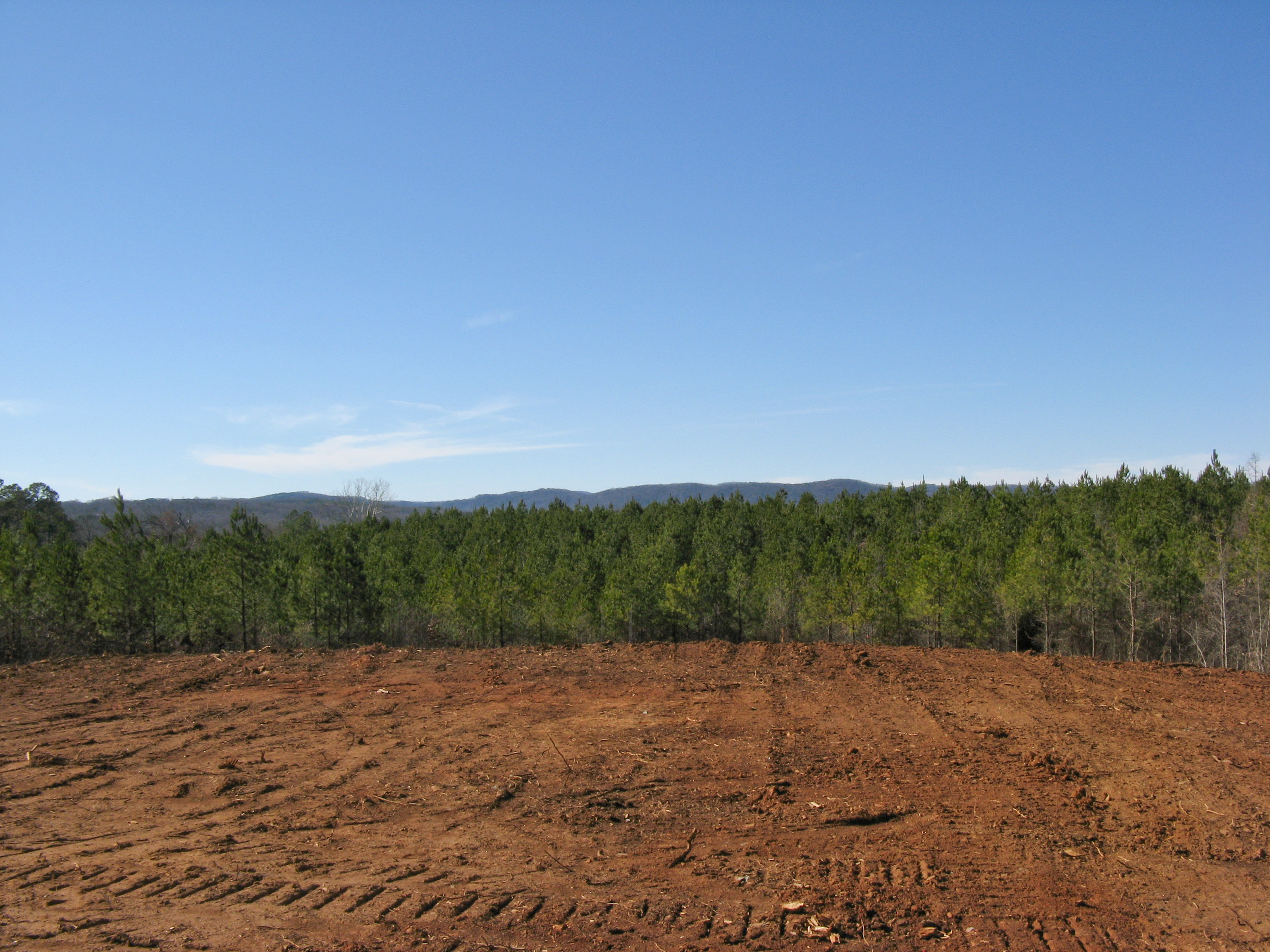
Early morning clearing view
The View
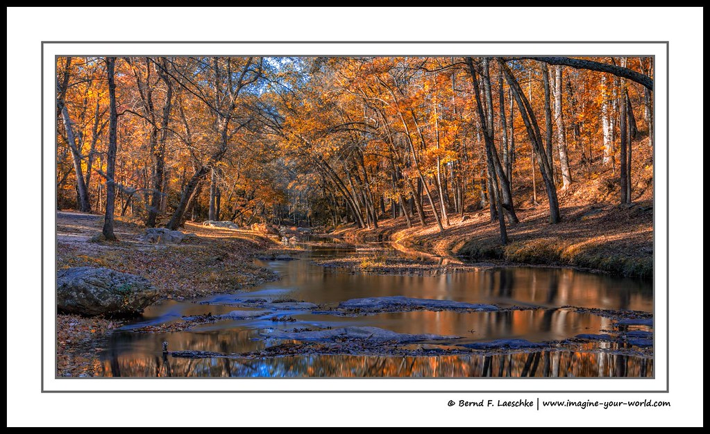
Fall colors on the Broad River

Victoria Bryant State Park GA Sep 16 2014 21

Victoria Bryant State Park GA Sep 16 2014 6
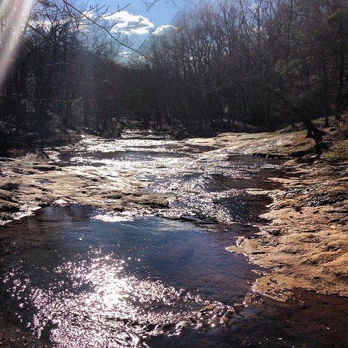
Sunny day on the shoals.

Victoria Bryant State Park GA Sep 16 2014 3

Victoria Bryant State Park GA Sep 16 2014 10

Victoria Bryant State Park GA Sep 16 2014 19

Victoria Bryant State Park GA Sep 16 2014 23
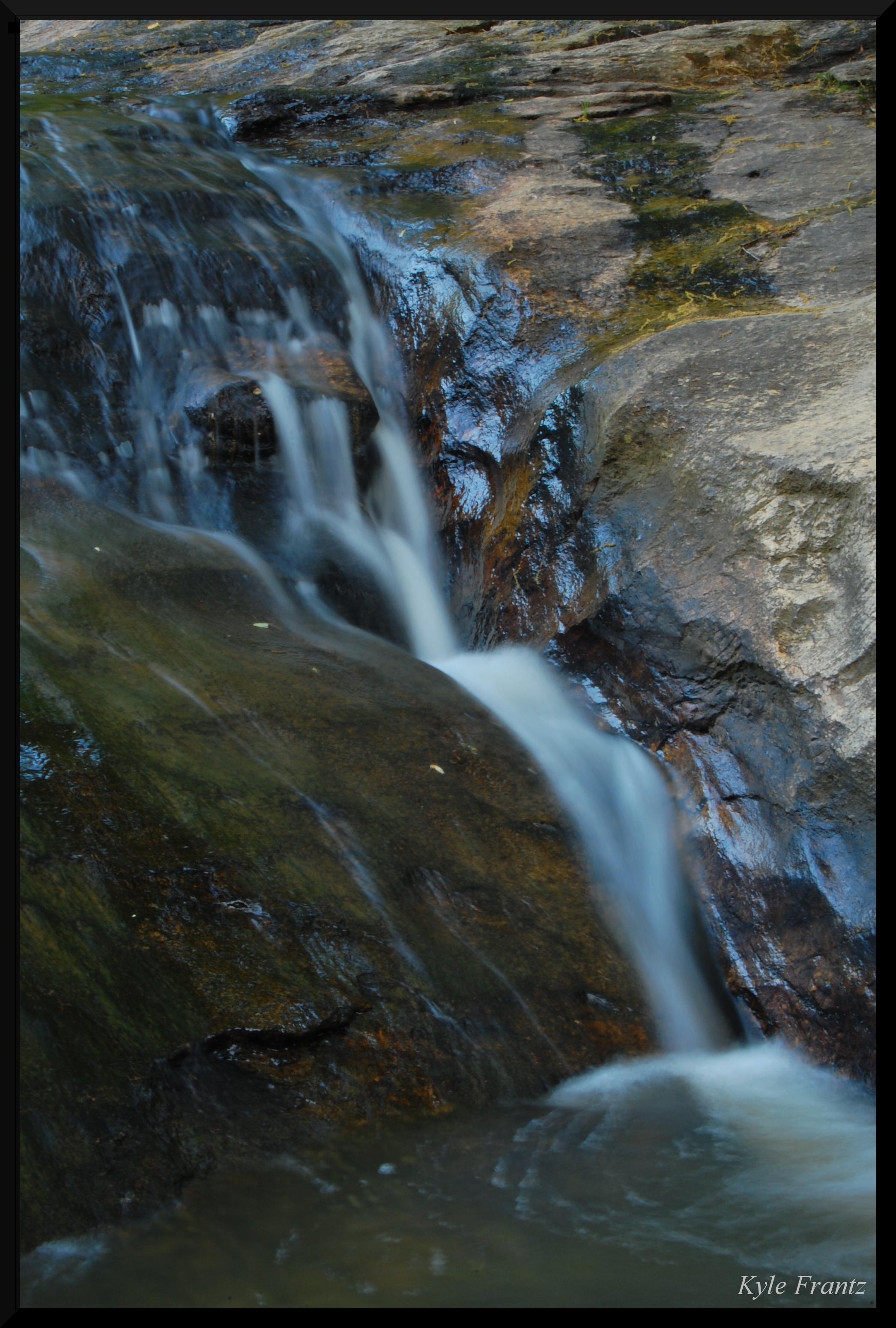
Small Fall

Victoria Bryant State Park GA Sep 16 2014 22

Victoria Bryant State Park GA Sep 16 2014 11

Victoria Bryant State Park GA Sep 17 2014 1
Topographic Map of Interstate 85, I-85, Carnesville, GA, USA
Find elevation by address:

Places near Interstate 85, I-85, Carnesville, GA, USA:
Hull Ave, Carnesville, GA, USA
Carnesville
Red Hill
Franklin County
2003 Baty Rd
1795 Burnette Rd
540 Rice Mill Rd
Victoria Bryant State Park
Franklin Springs
E Main St, Royston, GA, USA
Church St, Canon, GA, USA
Canon
187 Springdale Dr
16 Tyrus Lane
416 Franklin Springs St
Lavonia
Royston
Bowersville
Bowersville
Bowersville
Recent Searches:
- Elevation of Woodland Oak Pl, Thousand Oaks, CA, USA
- Elevation of Brownsdale Rd, Renfrew, PA, USA
- Elevation of Corcoran Ln, Suffolk, VA, USA
- Elevation of Mamala II, Sariaya, Quezon, Philippines
- Elevation of Sarangdanda, Nepal
- Elevation of 7 Waterfall Way, Tomball, TX, USA
- Elevation of SW 57th Ave, Portland, OR, USA
- Elevation of Crocker Dr, Vacaville, CA, USA
- Elevation of Pu Ngaol Community Meeting Hall, HWHM+3X7, Krong Saen Monourom, Cambodia
- Elevation of Royal Ontario Museum, Queens Park, Toronto, ON M5S 2C6, Canada