Elevation of Franklin County, GA, USA
Location: United States > Georgia >
Longitude: -83.207764
Latitude: 34.3645724
Elevation: 230m / 755feet
Barometric Pressure: 99KPa
Elevation Map:
Satellite Map:
Related Photos:

The view from downtown Carnesville. After lunch with Roger, Gerry, John and Karen.

Starting container garden

Hole in the house
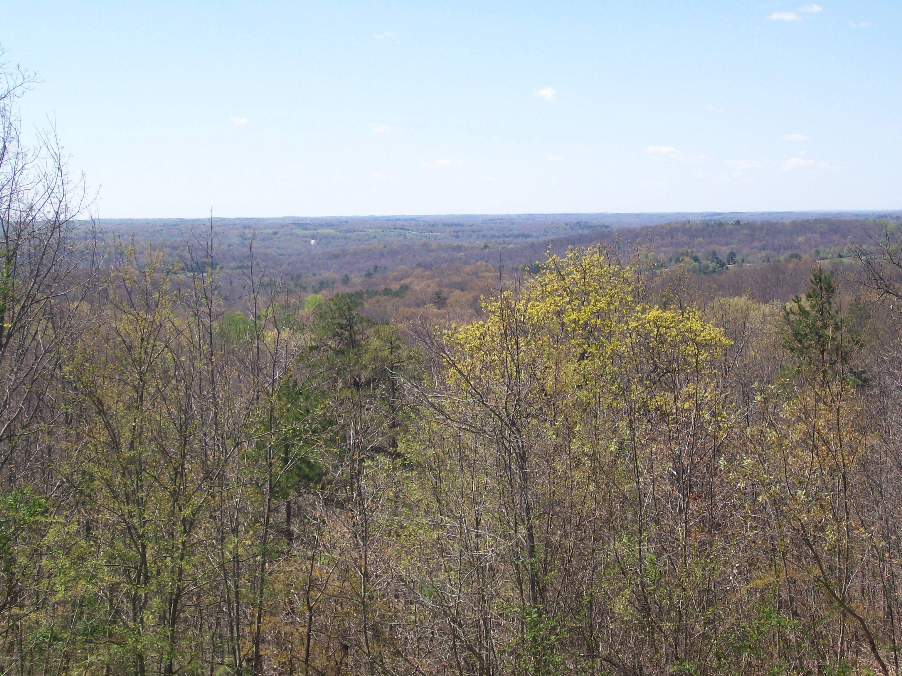
Overlooking N.E. Ga.

Victoria Bryant State Park GA Sep 16 2014 6

Victoria Bryant State Park GA Sep 16 2014 21

Victoria Bryant State Park GA Sep 16 2014 3

Victoria Bryant State Park GA Sep 16 2014 10
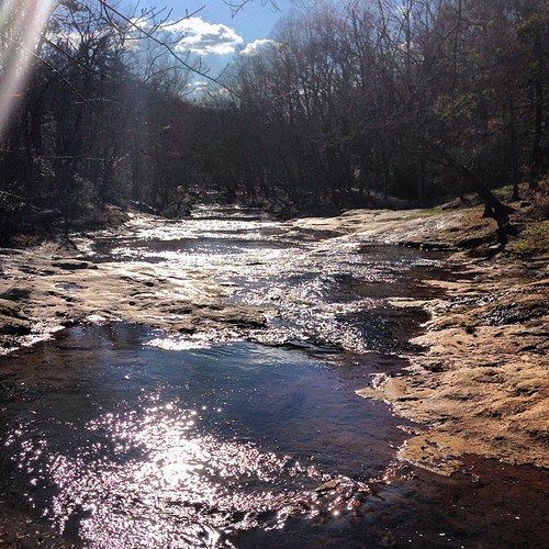
Sunny day on the shoals.

Victoria Bryant State Park GA Sep 16 2014 19

Victoria Bryant State Park GA Sep 16 2014 23
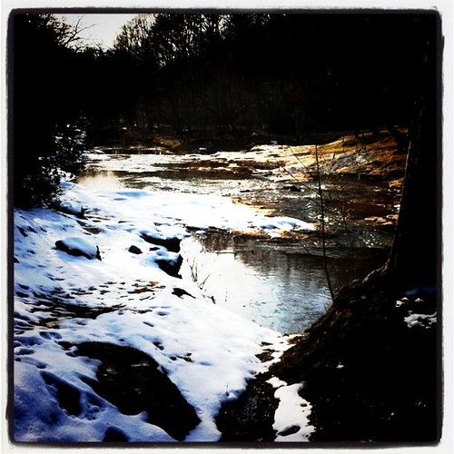
Snowy shoals

Victoria Bryant State Park GA Sep 16 2014 11

Victoria Bryant State Park GA Sep 16 2014 22

Victoria Bryant State Park GA Sep 16 2014 18

Victoria Bryant State Park GA Sep 17 2014 1
Topographic Map of Franklin County, GA, USA
Find elevation by address:

Places in Franklin County, GA, USA:
Places near Franklin County, GA, USA:
Carnesville
Hull Ave, Carnesville, GA, USA
2003 Baty Rd
Interstate 85
540 Rice Mill Rd
Victoria Bryant State Park
Red Hill
Church St, Canon, GA, USA
Canon
E Main St, Royston, GA, USA
Franklin Springs
187 Springdale Dr
16 Tyrus Lane
416 Franklin Springs St
1795 Burnette Rd
Lavonia
Royston
Bowersville
Bowersville
Bowersville
Recent Searches:
- Elevation of Luther Road, Luther Rd, Auburn, CA, USA
- Elevation of Unnamed Road, Respublika Severnaya Osetiya — Alaniya, Russia
- Elevation of Verkhny Fiagdon, North Ossetia–Alania Republic, Russia
- Elevation of F. Viola Hiway, San Rafael, Bulacan, Philippines
- Elevation of Herbage Dr, Gulfport, MS, USA
- Elevation of Lilac Cir, Haldimand, ON N3W 2G9, Canada
- Elevation of Harrod Branch Road, Harrod Branch Rd, Kentucky, USA
- Elevation of Wyndham Grand Barbados Sam Lords Castle All Inclusive Resort, End of Belair Road, Long Bay, Bridgetown Barbados
- Elevation of Iga Trl, Maggie Valley, NC, USA
- Elevation of N Co Rd 31D, Loveland, CO, USA