Elevation of Inonoaklin Valley Road, Inonoaklin Valley Rd, Central Kootenay K, BC V0G, Canada
Location: Canada > British Columbia > Central Kootenay > Central Kootenay K >
Longitude: -118.14074
Latitude: 49.823039
Elevation: 480m / 1575feet
Barometric Pressure: 96KPa
Elevation Map:
Satellite Map:
Related Photos:
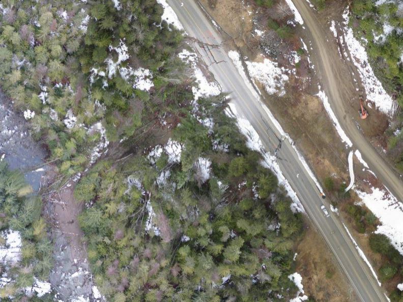
Aerial View of Highway 6 Slide
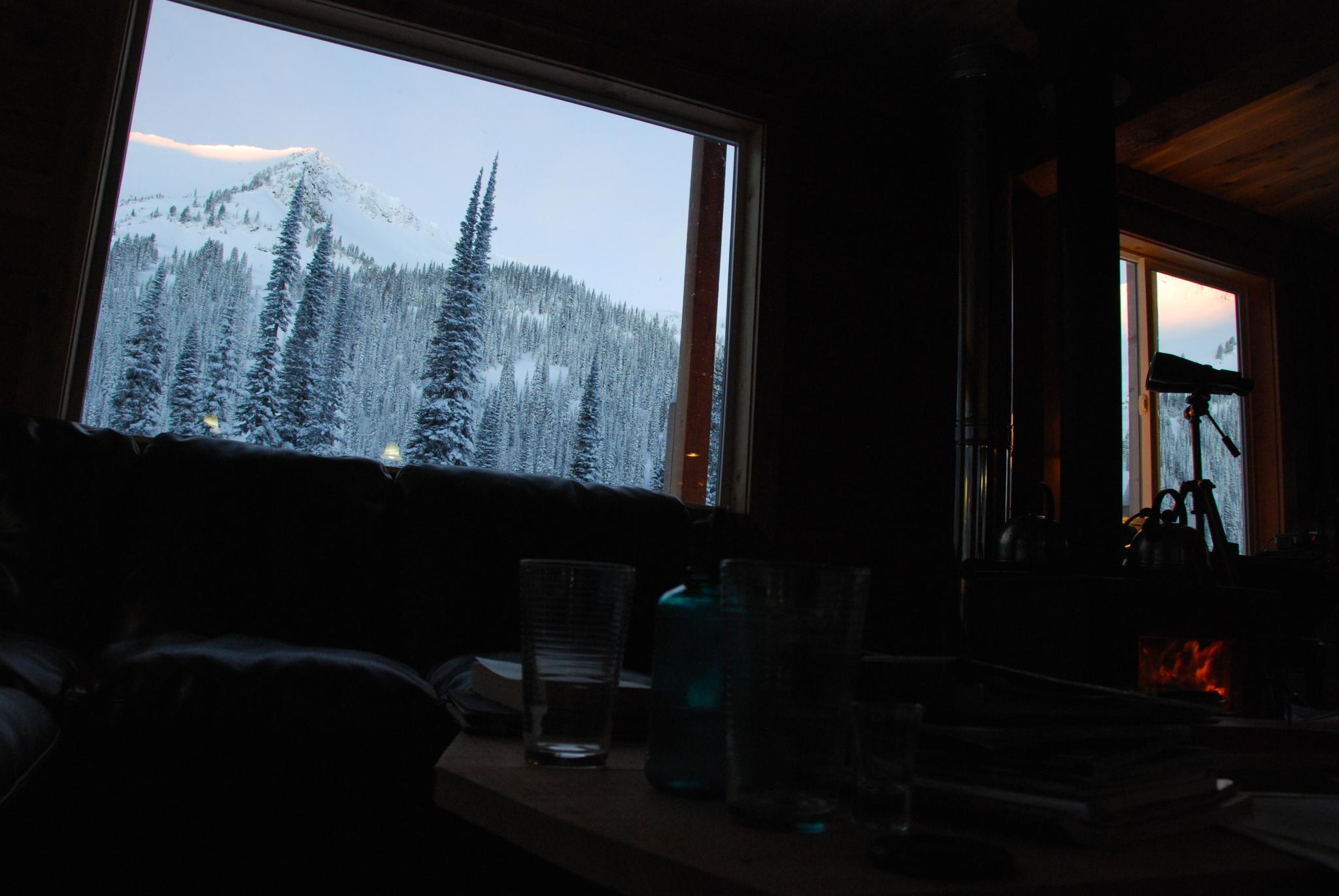
Morning view from inside the hut
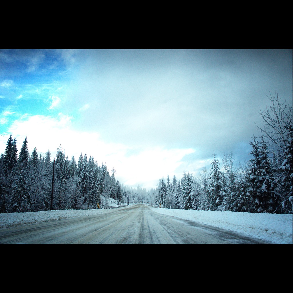
The Road Home
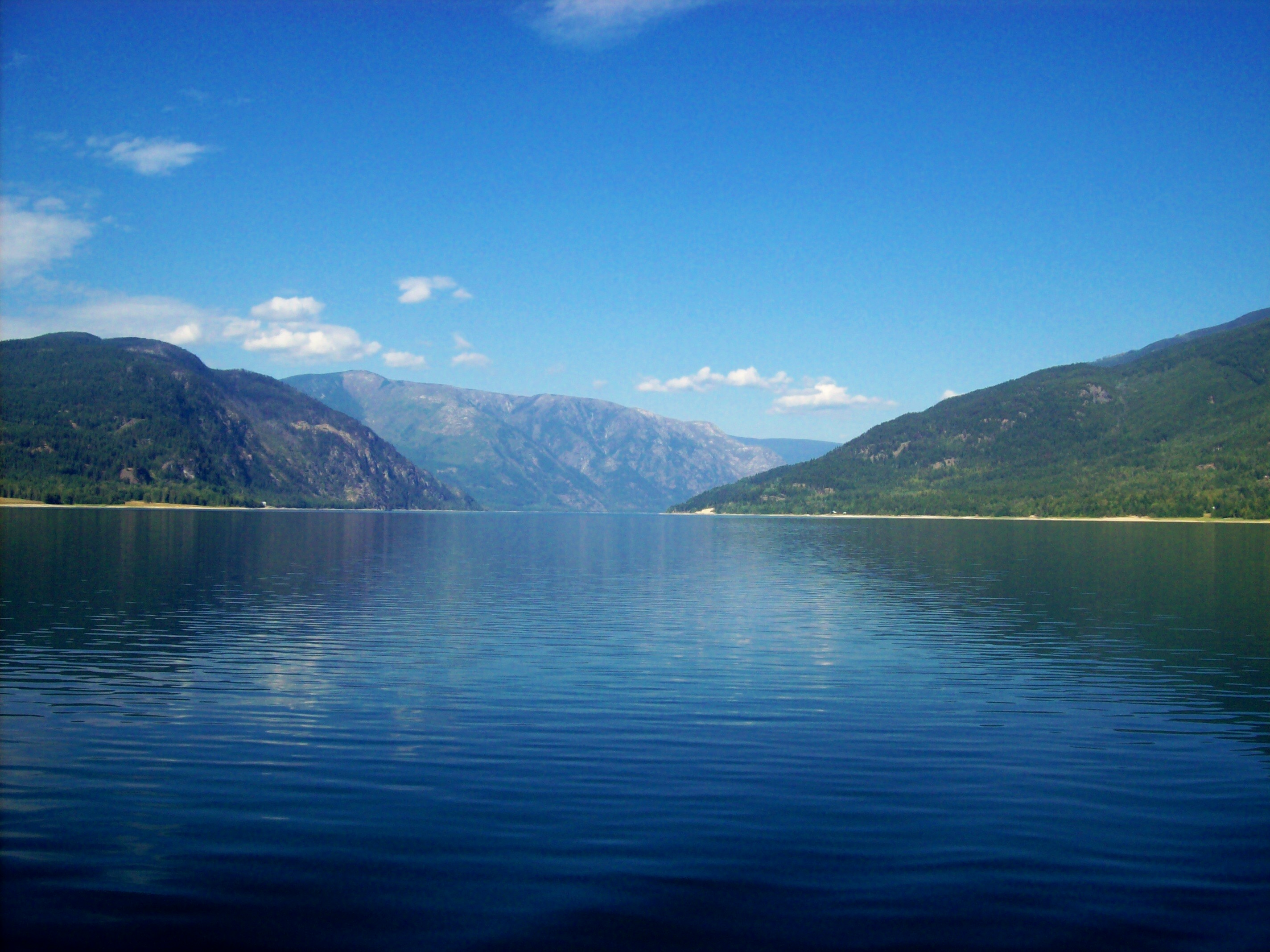
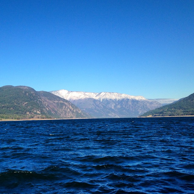
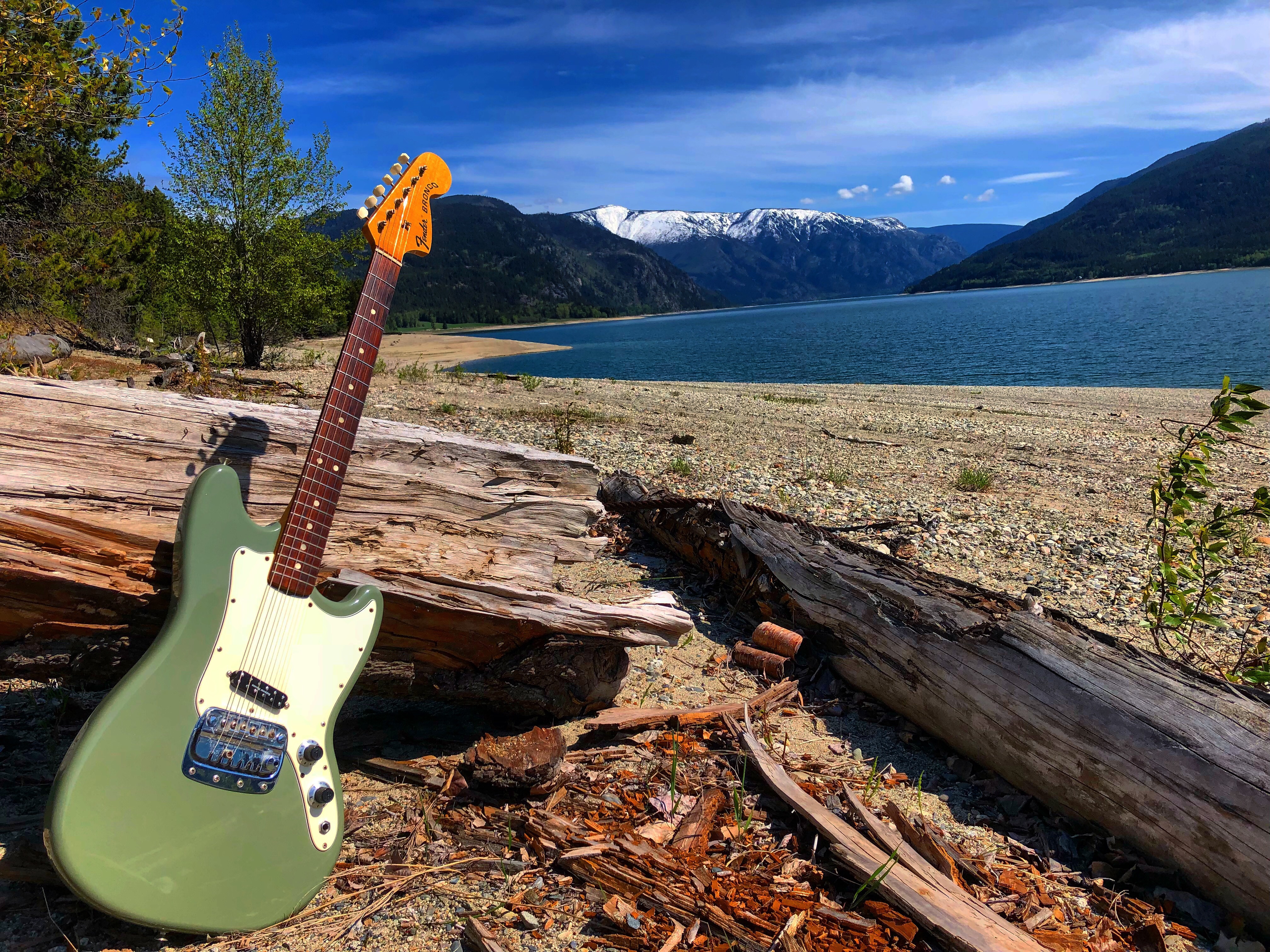
Lower Arrow Lake
On the ferry #roadtrip
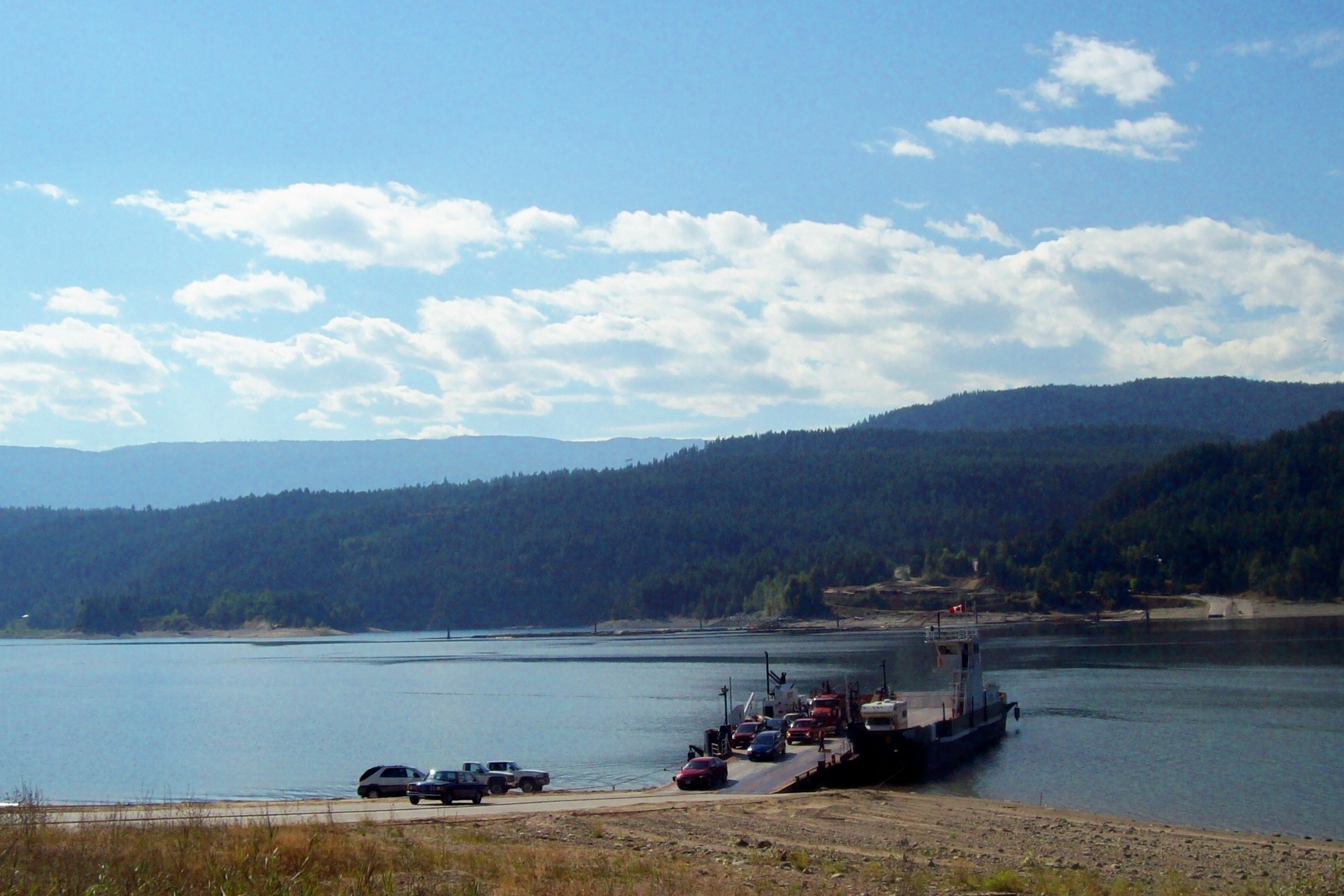
Ferry Across Lower Arrow Lake
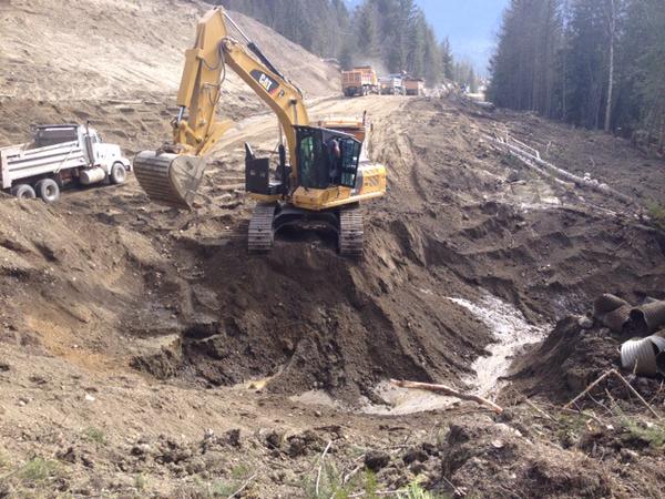
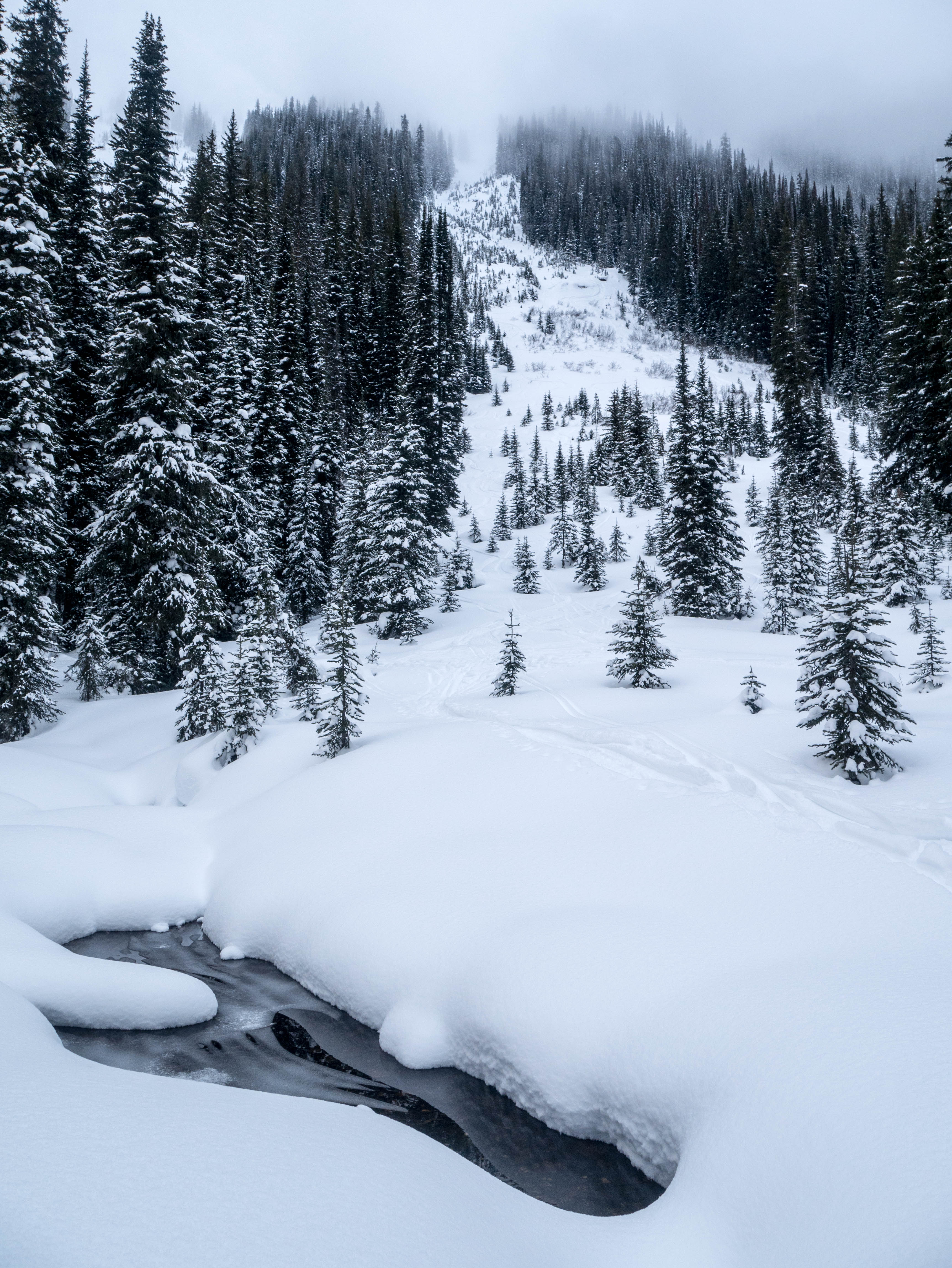
Repairing Highway 6
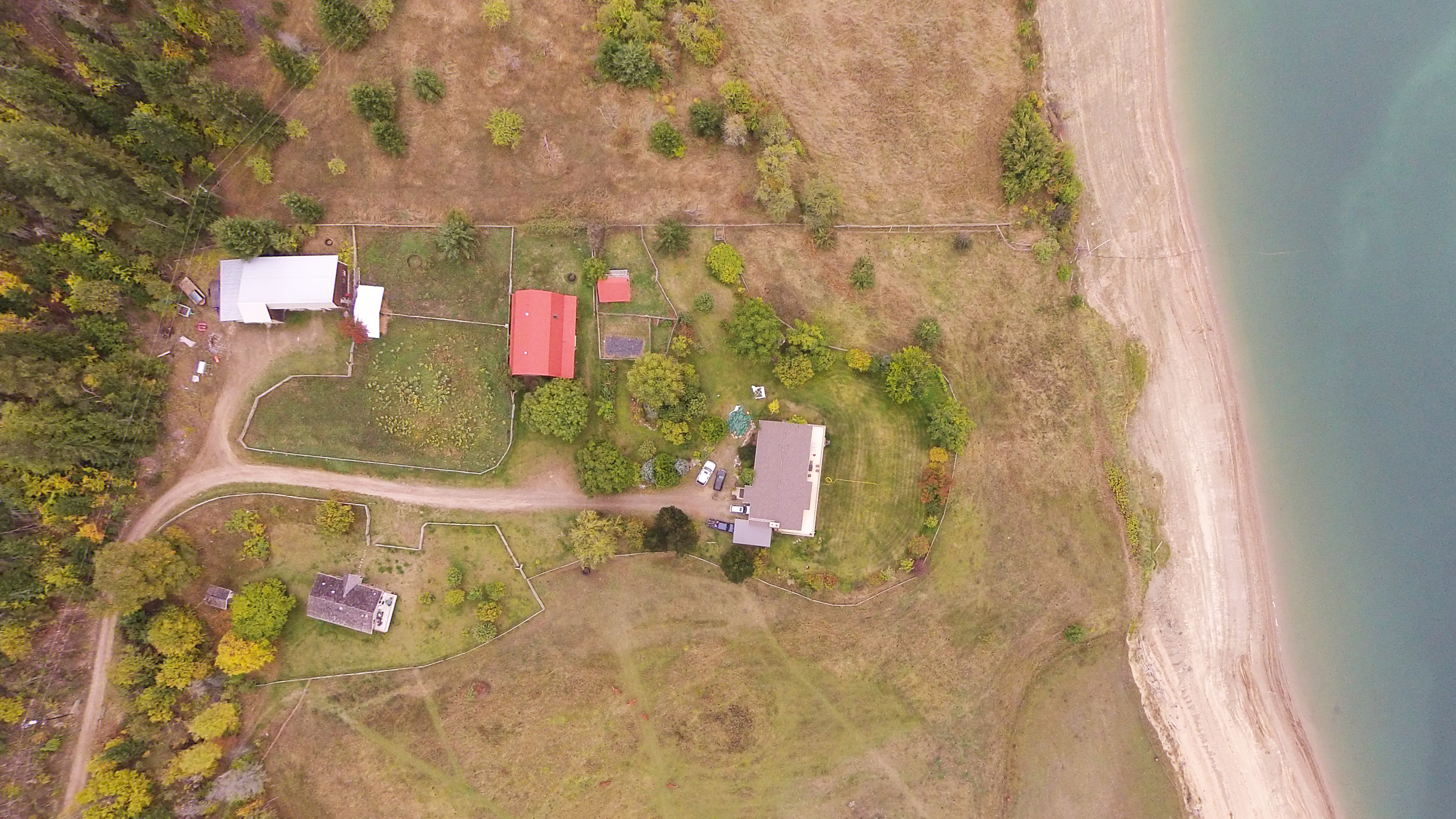
Top Down
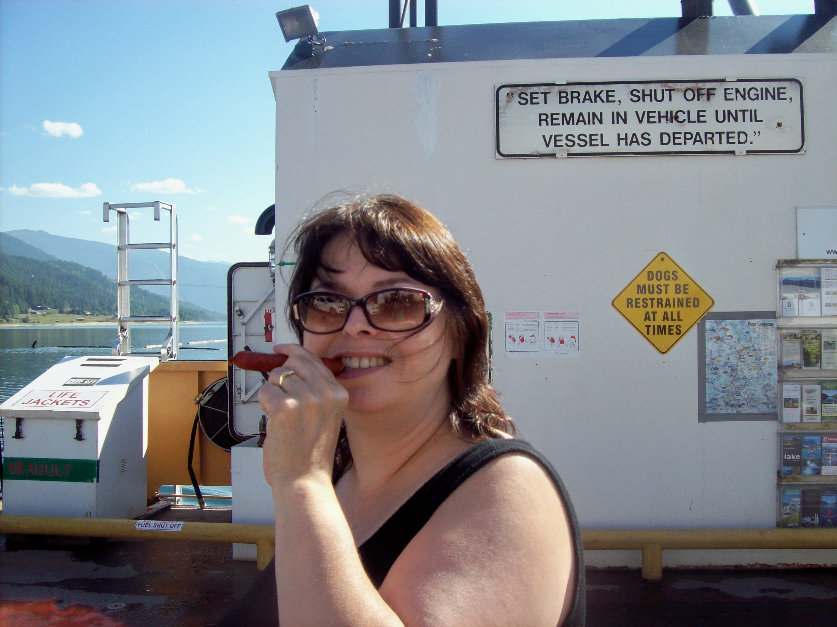
Lori's Pepperoni Cigar
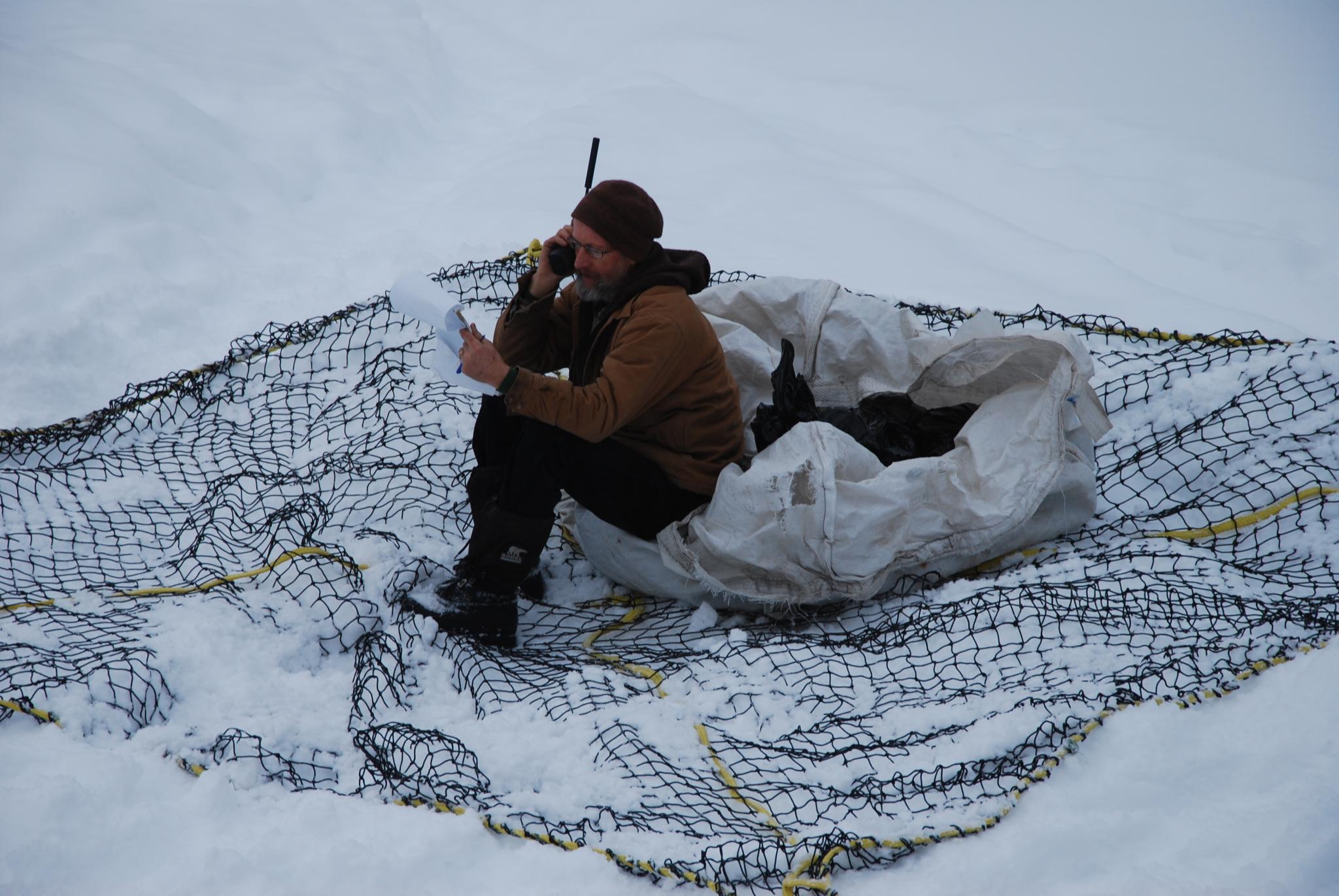
Martin checking his shopping list

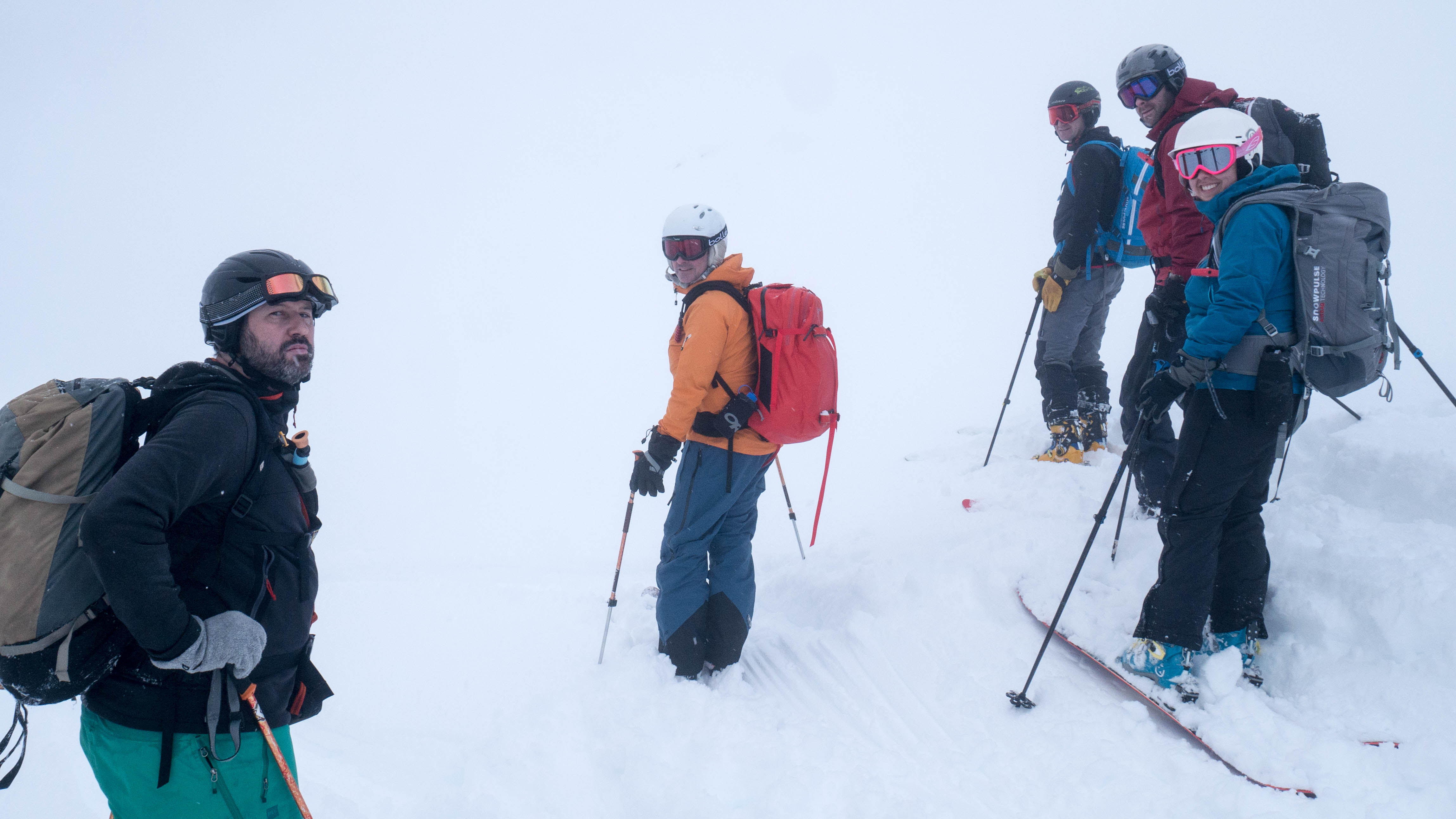
What are you looking at?
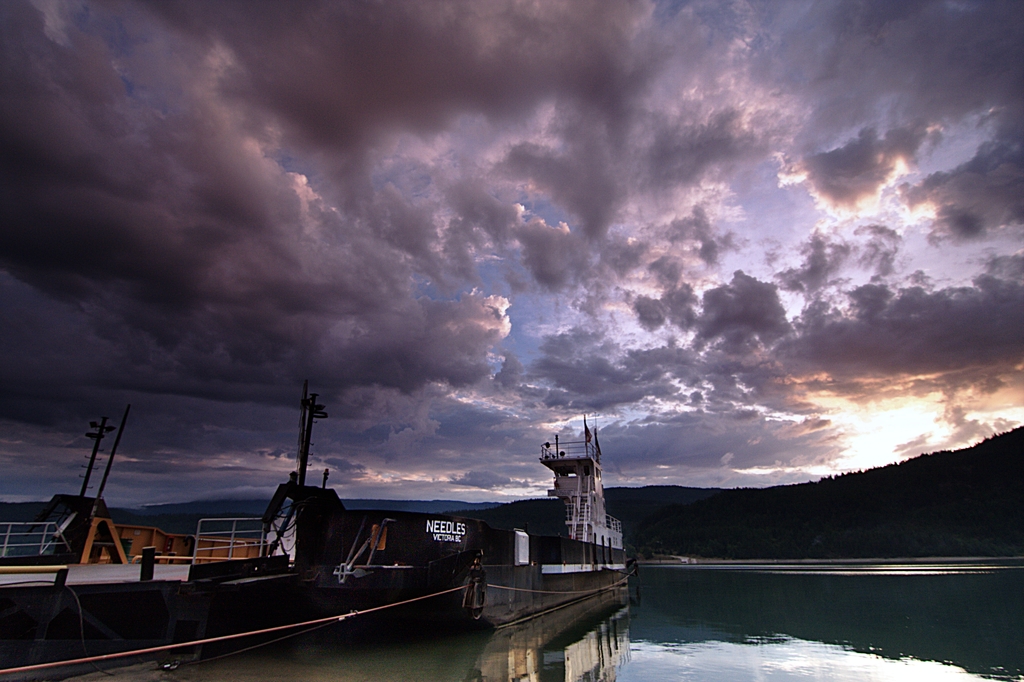
Needles Ferry
Waiting for the Fauqier-Needles Ferry
Due North
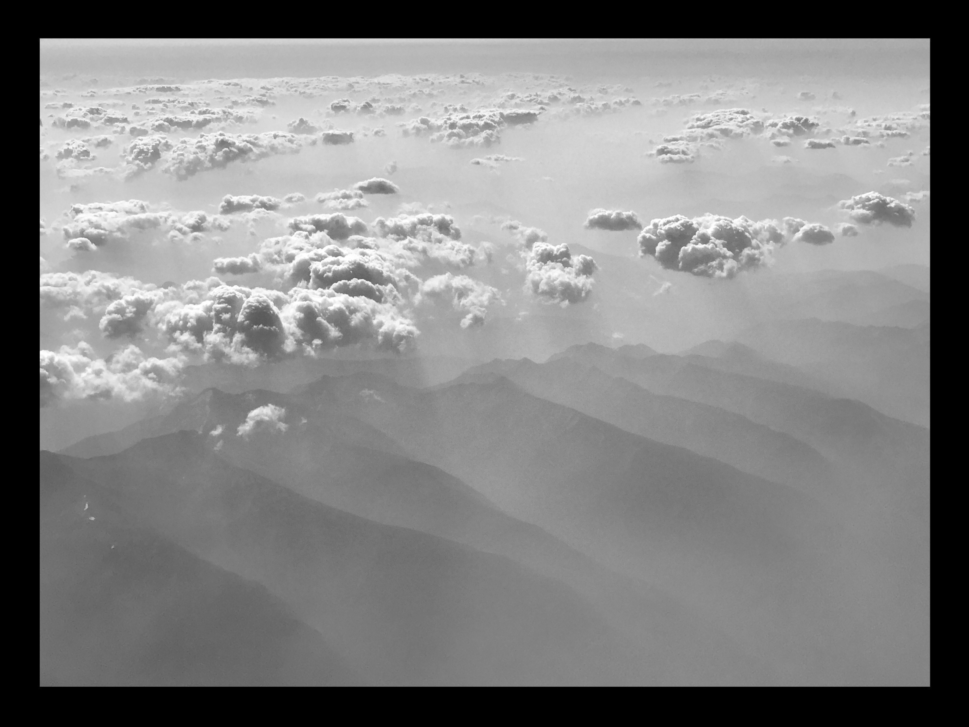
BC Smoke
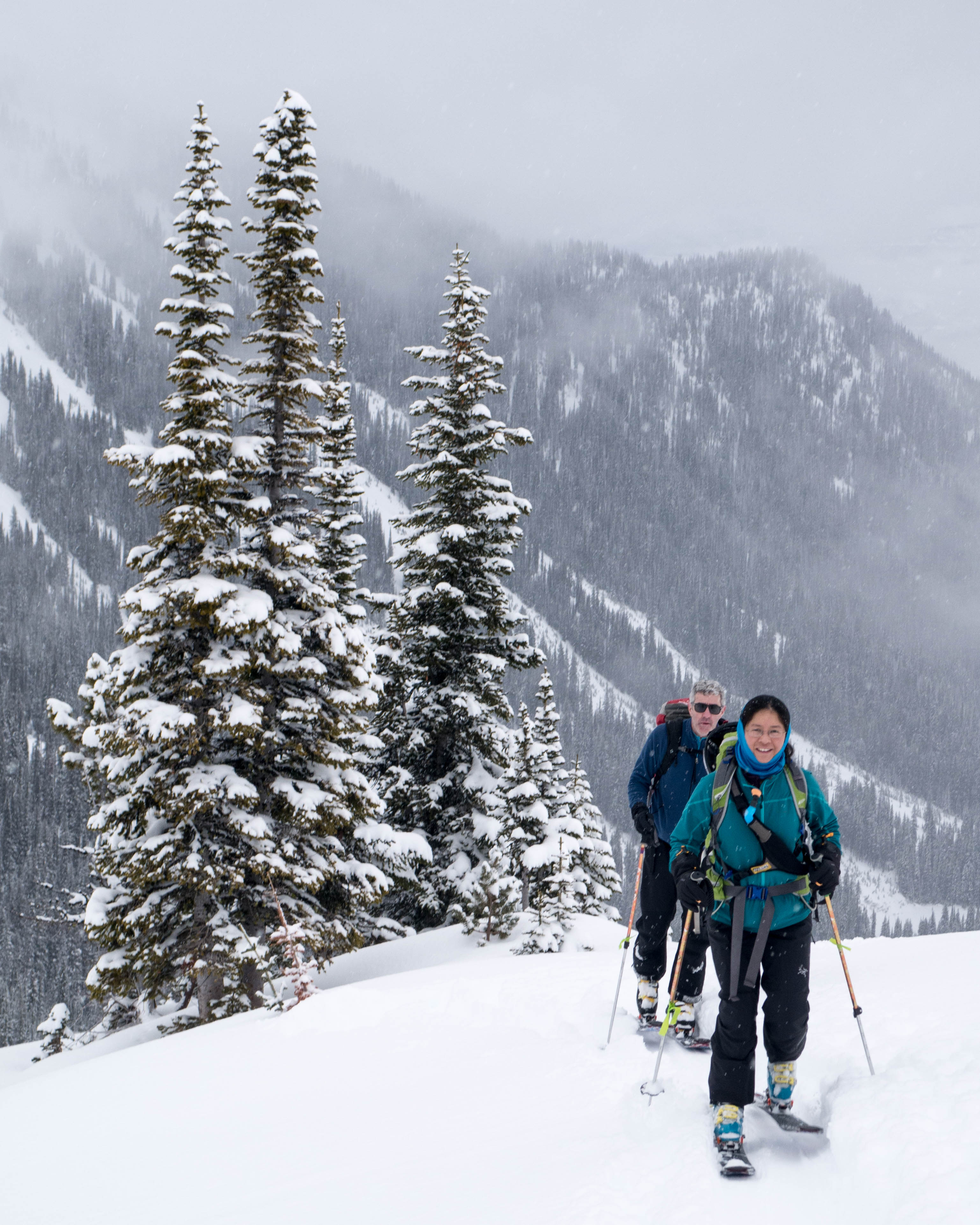
Peter and Karen
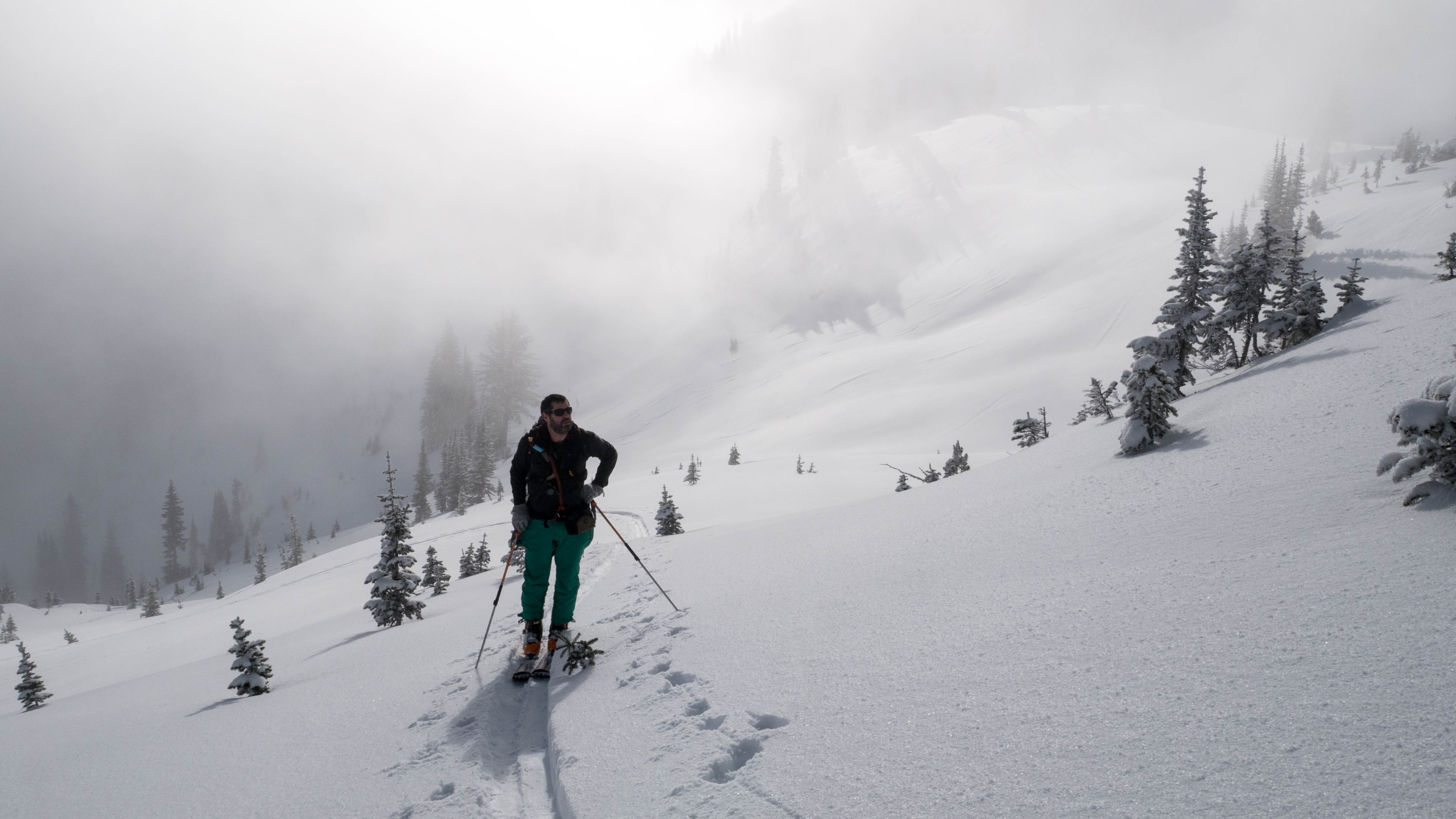
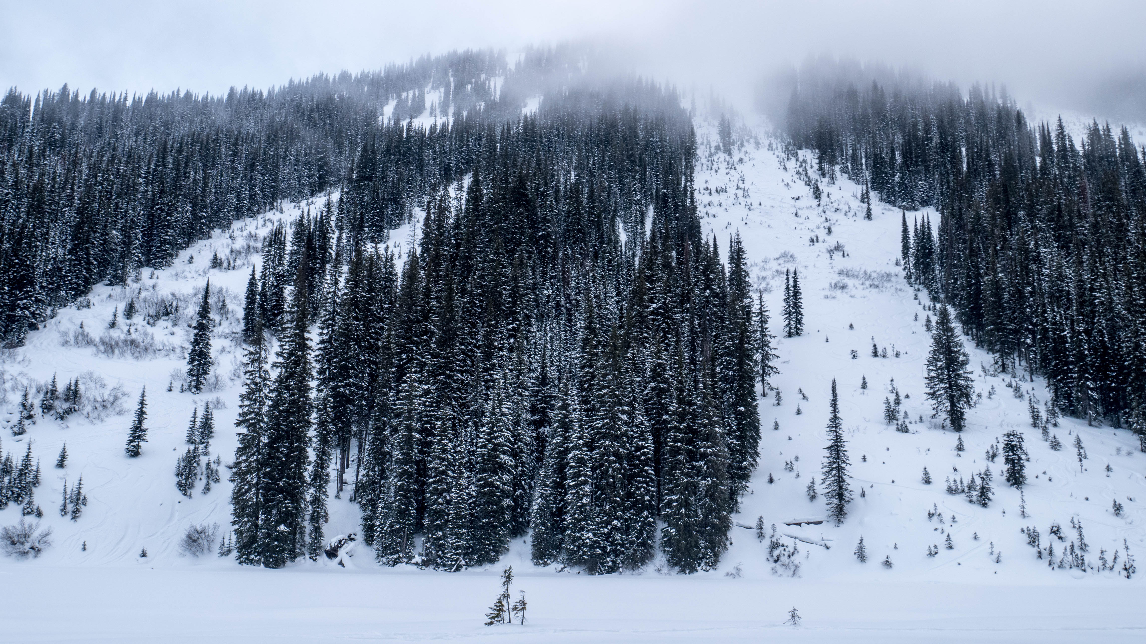
Waiting for the fog to clear

Hilda Lodge
Best sun of the week, all 5 minutes of it
Best sun of the week, all 5 minutes of it
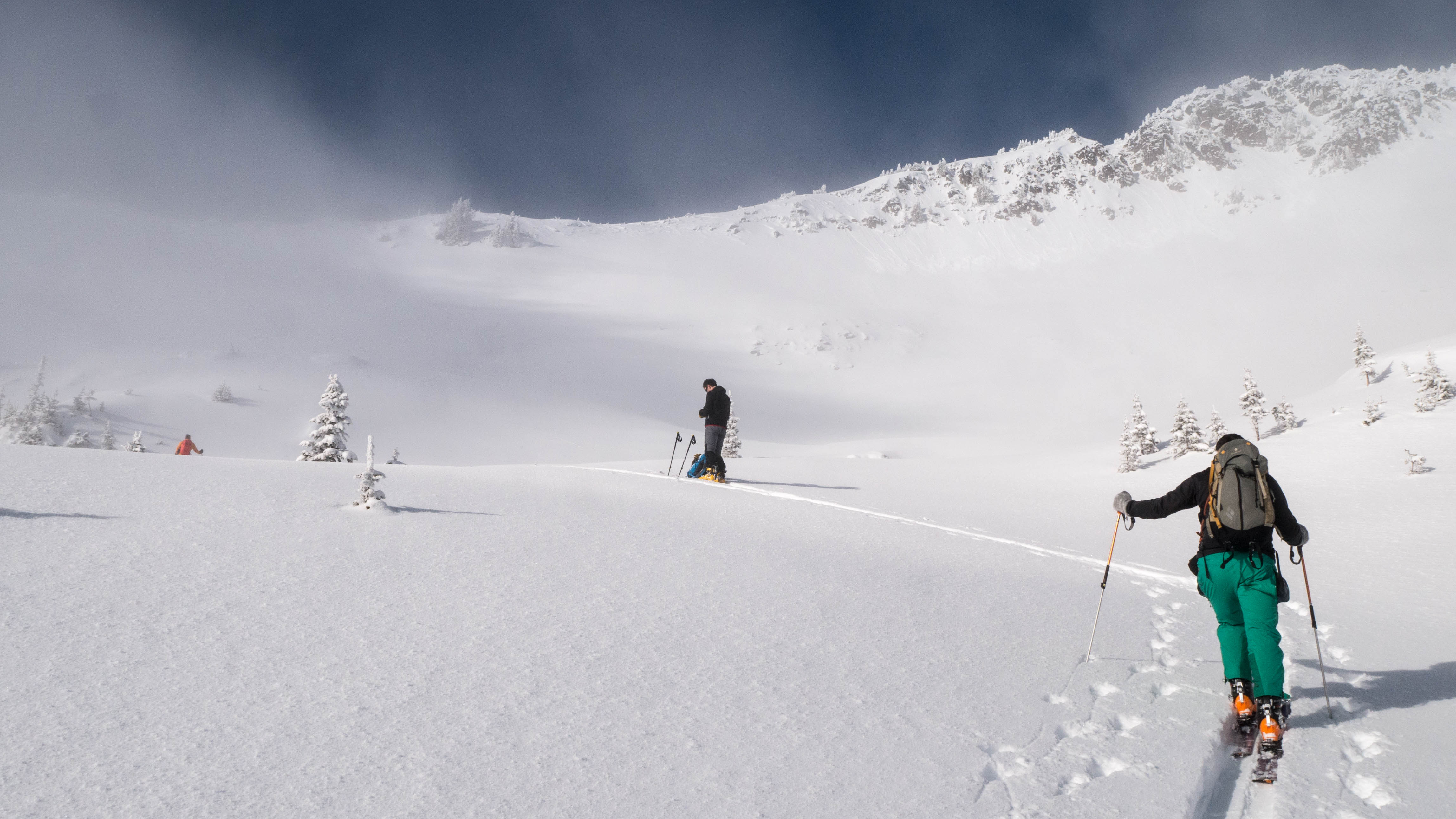
Fog returns

Ridge of the Norns
Norn #4
Norn Bottom
Topographic Map of Inonoaklin Valley Road, Inonoaklin Valley Rd, Central Kootenay K, BC V0G, Canada
Find elevation by address:

Places near Inonoaklin Valley Road, Inonoaklin Valley Rd, Central Kootenay K, BC V0G, Canada:
Ferret Road
Jordan Road
Edgewood
Granby Drive
Kootenay Boundary D
North Okanagan E
Kettle River
North Forks Road
50 Thompson Rd
Cherryville
1297 Bc-6
Okanagan Valley, Bc
Kootenay Boundary
Sugar Lake Road
North Okanagan D
Big White Ski Resort
Big White Mountain
4789 Snow Pines Way
North Okanagan
Big White Road
Recent Searches:
- Elevation of Warwick, RI, USA
- Elevation of Fern Rd, Whitmore, CA, USA
- Elevation of 62 Abbey St, Marshfield, MA, USA
- Elevation of Fernwood, Bradenton, FL, USA
- Elevation of Felindre, Swansea SA5 7LU, UK
- Elevation of Leyte Industrial Development Estate, Isabel, Leyte, Philippines
- Elevation of W Granada St, Tampa, FL, USA
- Elevation of Pykes Down, Ivybridge PL21 0BY, UK
- Elevation of Jalan Senandin, Lutong, Miri, Sarawak, Malaysia
- Elevation of Bilohirs'k