Elevation map of Kettle River
Longitude: -118.55796
Latitude: 49.4025129
Elevation: 914m / 2999feet
Barometric Pressure: 91KPa
Elevation Map:
Satellite Map:
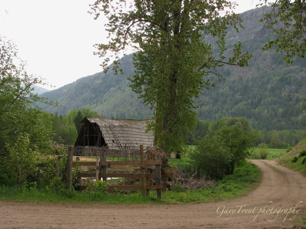
Related Photos:
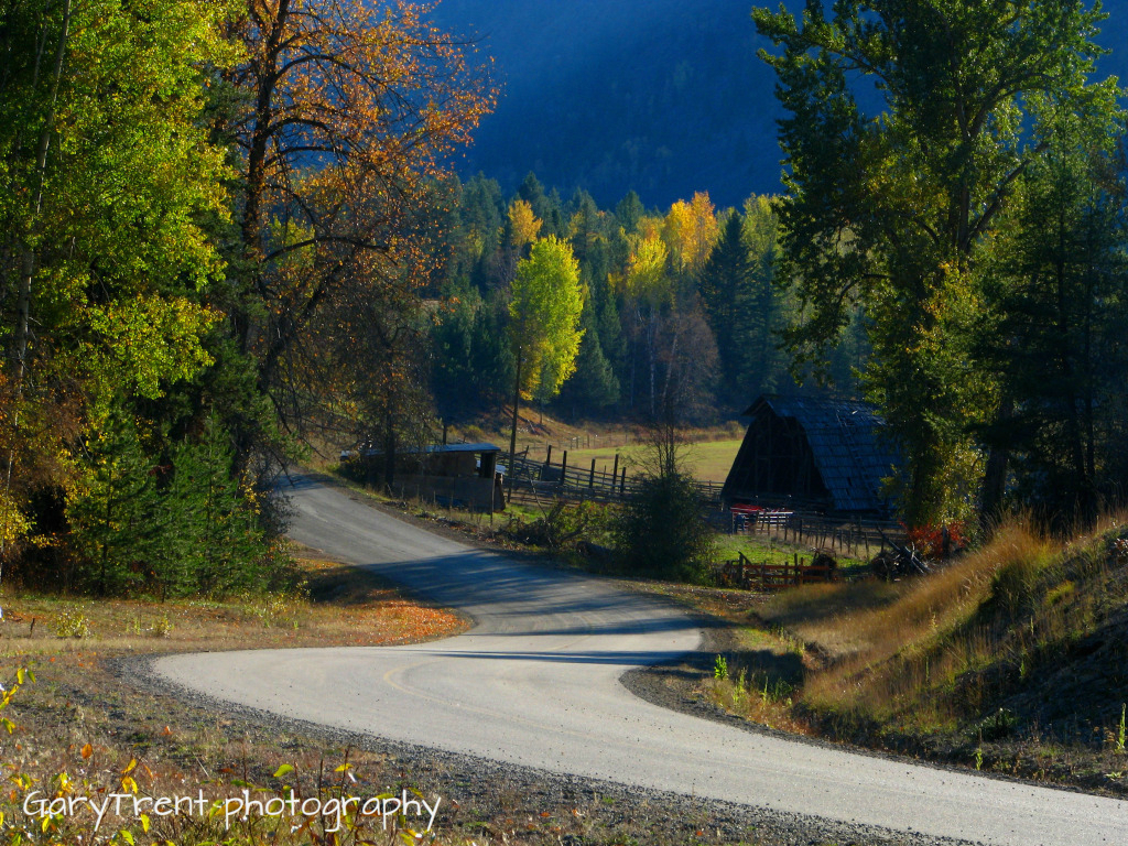
"Country Roads" Granby Wilderness north of Grand Forks B.C
Country Road
Topographic Map of Kettle River
Find elevation by address:

Places near Kettle River:
Kootenay Boundary D
North Forks Road
Kootenay Boundary
6055 Christian Valley Rd
6055 Christian Valley Rd
5855 Christian Valley Rd
5855 Christian Valley Rd
3260 Christian Valley Rd
Kootenay Boundary E
Okanagan Valley, Bc
Big White Ski Resort
4789 Snow Pines Way
Big White Mountain
Beaverdell
Big White Road
Granby Drive
Edgewood
60 Smoker Rd
Jordan Road
Carmi
Recent Searches:
- Elevation of Jalan Senandin, Lutong, Miri, Sarawak, Malaysia
- Elevation of Bilohirs'k
- Elevation of 30 Oak Lawn Dr, Barkhamsted, CT, USA
- Elevation of Luther Road, Luther Rd, Auburn, CA, USA
- Elevation of Unnamed Road, Respublika Severnaya Osetiya — Alaniya, Russia
- Elevation of Verkhny Fiagdon, North Ossetia–Alania Republic, Russia
- Elevation of F. Viola Hiway, San Rafael, Bulacan, Philippines
- Elevation of Herbage Dr, Gulfport, MS, USA
- Elevation of Lilac Cir, Haldimand, ON N3W 2G9, Canada
- Elevation of Harrod Branch Road, Harrod Branch Rd, Kentucky, USA