Elevation of Innis Ave, Sharon, OK, USA
Location: United States > Oklahoma > Woodward County > Sharon >
Longitude: -99.337732
Latitude: 36.2750619
Elevation: 629m / 2064feet
Barometric Pressure: 94KPa
Elevation Map:
Satellite Map:
Related Photos:

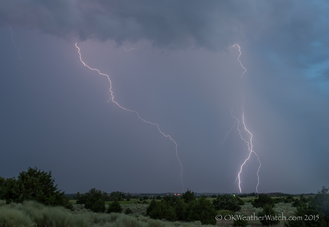
Woodward Oklahoma Supercell

231-365

229-365

4.1 miles east northeast of Sharon, OK

4.1 miles east northeast of Sharon, OK
5.5 miles southwest of Mooreland, OK

230-365

Post Office 73853 (Mutual, Oklahoma)

Old Arthaud Garage (Mutual, Oklahoma)
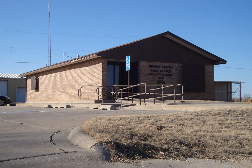
Post Office 73857 (Sharon, Oklahoma)

Old Drug Store (Sharon, Oklahoma)

Methodist Church (Sharon, Oklahoma)
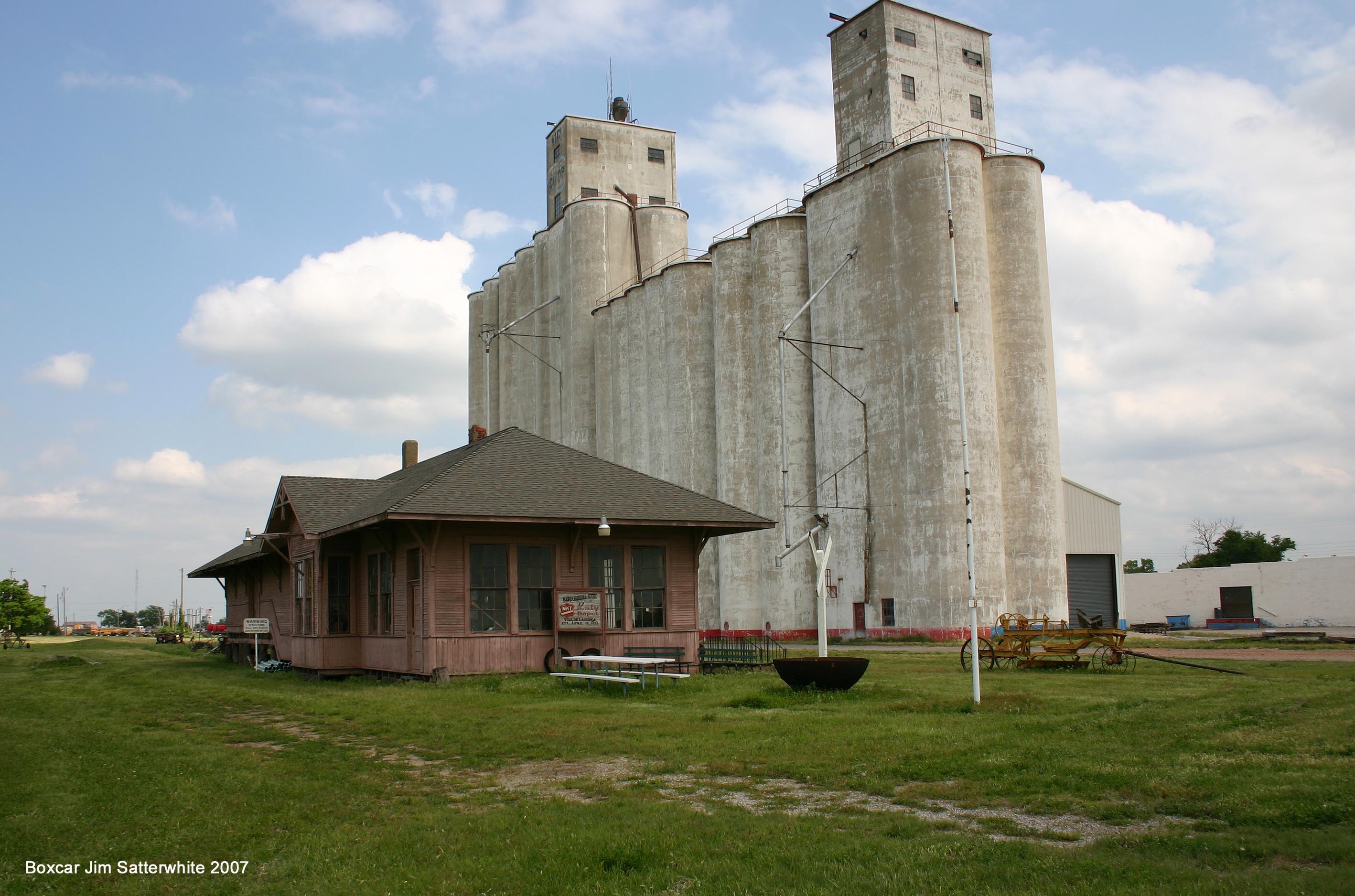
MKT Vici OK

lane's
Topographic Map of Innis Ave, Sharon, OK, USA
Find elevation by address:

Places near Innis Ave, Sharon, OK, USA:
Sharon
Woodward County
1423 Elm Ave
Woodward
Boiling Springs State Park
197897 E County Rd 41
Mooreland
N Main St, Mooreland, OK, USA
Camargo
2nd St, Camargo, OK, USA
Fargo
County Road
Chester
Seiling
Taloga
710 E Noble Ave
Arnett
Ellis County
Dewey County
Putnam
Recent Searches:
- Elevation of Co Rd 87, Jamestown, CO, USA
- Elevation of Tenjo, Cundinamarca, Colombia
- Elevation of Côte-des-Neiges, Montreal, QC H4A 3J6, Canada
- Elevation of Bobcat Dr, Helena, MT, USA
- Elevation of Zu den Ihlowbergen, Althüttendorf, Germany
- Elevation of Badaber, Peshawar, Khyber Pakhtunkhwa, Pakistan
- Elevation of SE Heron Loop, Lincoln City, OR, USA
- Elevation of Slanický ostrov, 01 Námestovo, Slovakia
- Elevation of Spaceport America, Co Rd A, Truth or Consequences, NM, USA
- Elevation of Warwick, RI, USA