Elevation of Camargo, OK, USA
Location: United States > Oklahoma > Dewey County >
Longitude: -99.289271
Latitude: 36.0172666
Elevation: 593m / 1946feet
Barometric Pressure: 94KPa
Elevation Map:
Satellite Map:
Related Photos:

Think about
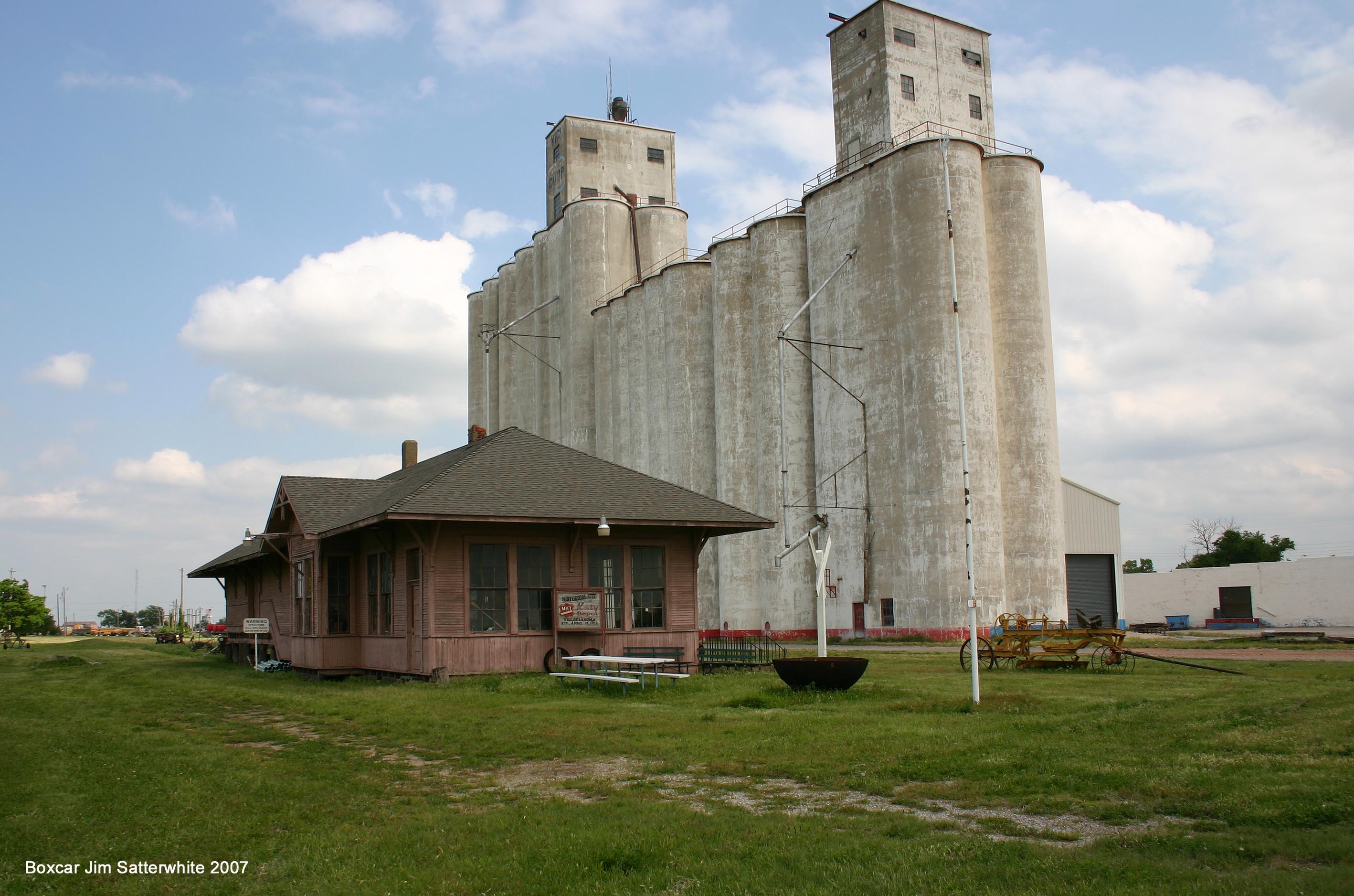
MKT Vici OK

Post Office 73835 (Camargo, Oklahoma)
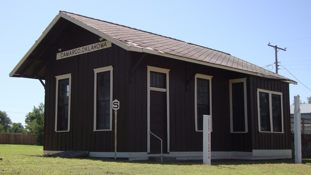
Old Railroad Depot (Camargo, Oklahoma)
Topographic Map of Camargo, OK, USA
Find elevation by address:

Places in Camargo, OK, USA:
Places near Camargo, OK, USA:
2nd St, Camargo, OK, USA
Innis Ave, Sharon, OK, USA
Sharon
Taloga
710 E Noble Ave
Great Western Cattle Trail
Putnam
Dewey County
County Road
Seiling
Woodward County
Chester
1423 Elm Ave
Woodward
Mooreland
N Main St, Mooreland, OK, USA
Boiling Springs State Park
197897 E County Rd 41
Prairie View Cemetery
Cheyenne
Recent Searches:
- Elevation of Jadagoniai, Kaunas District Municipality, Lithuania
- Elevation of Pagonija rock, Kranto 7-oji g. 8"N, Kaunas, Lithuania
- Elevation of Co Rd 87, Jamestown, CO, USA
- Elevation of Tenjo, Cundinamarca, Colombia
- Elevation of Côte-des-Neiges, Montreal, QC H4A 3J6, Canada
- Elevation of Bobcat Dr, Helena, MT, USA
- Elevation of Zu den Ihlowbergen, Althüttendorf, Germany
- Elevation of Badaber, Peshawar, Khyber Pakhtunkhwa, Pakistan
- Elevation of SE Heron Loop, Lincoln City, OR, USA
- Elevation of Slanický ostrov, 01 Námestovo, Slovakia