Elevation of Indian Creek Rd, Cedar Bluff, VA, USA
Location: United States > Virginia > Tazewell County > Western > Cedar Bluff >
Longitude: -81.721433
Latitude: 37.106945
Elevation: 692m / 2270feet
Barometric Pressure: 93KPa
Elevation Map:
Satellite Map:
Related Photos:
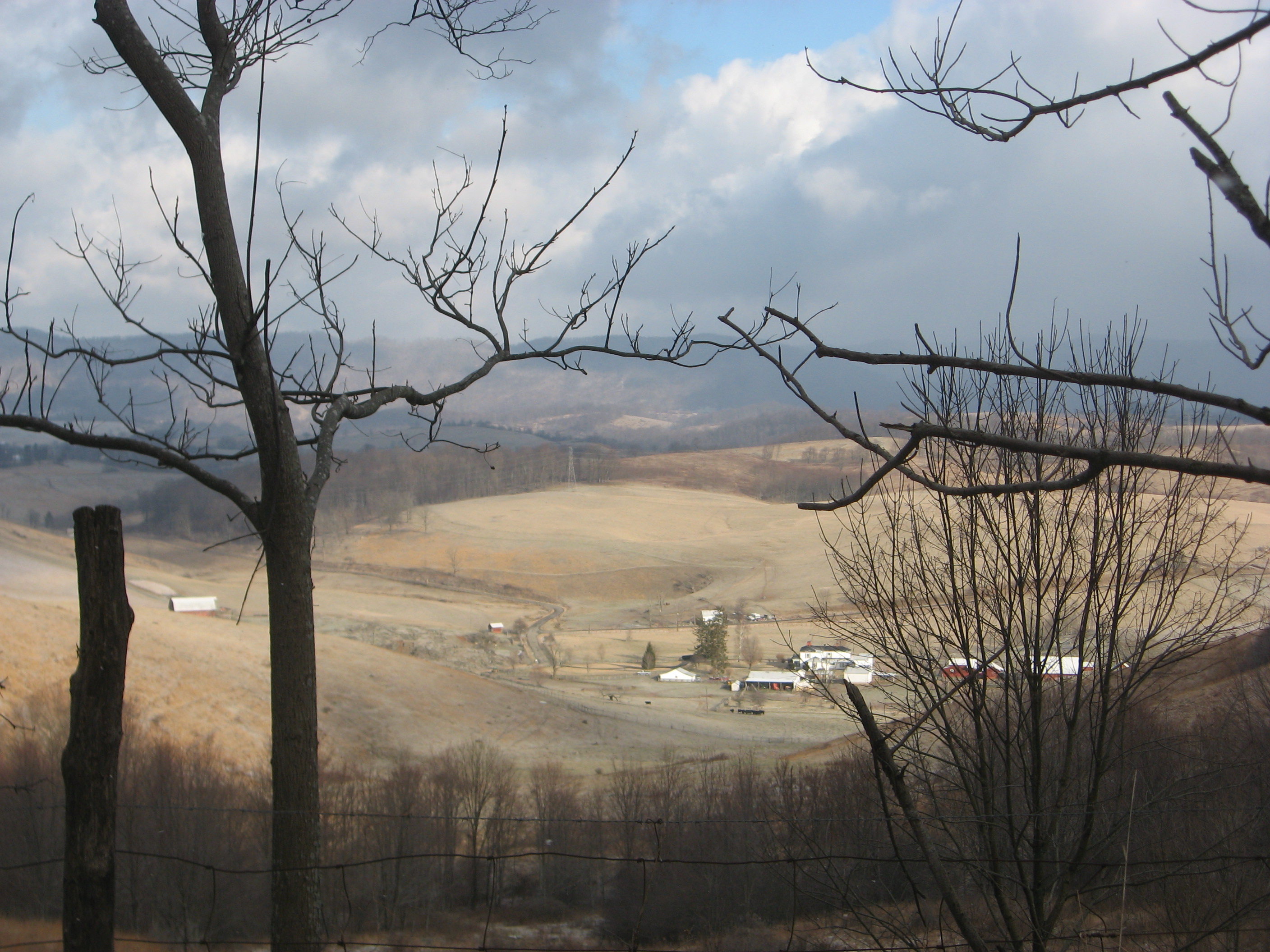
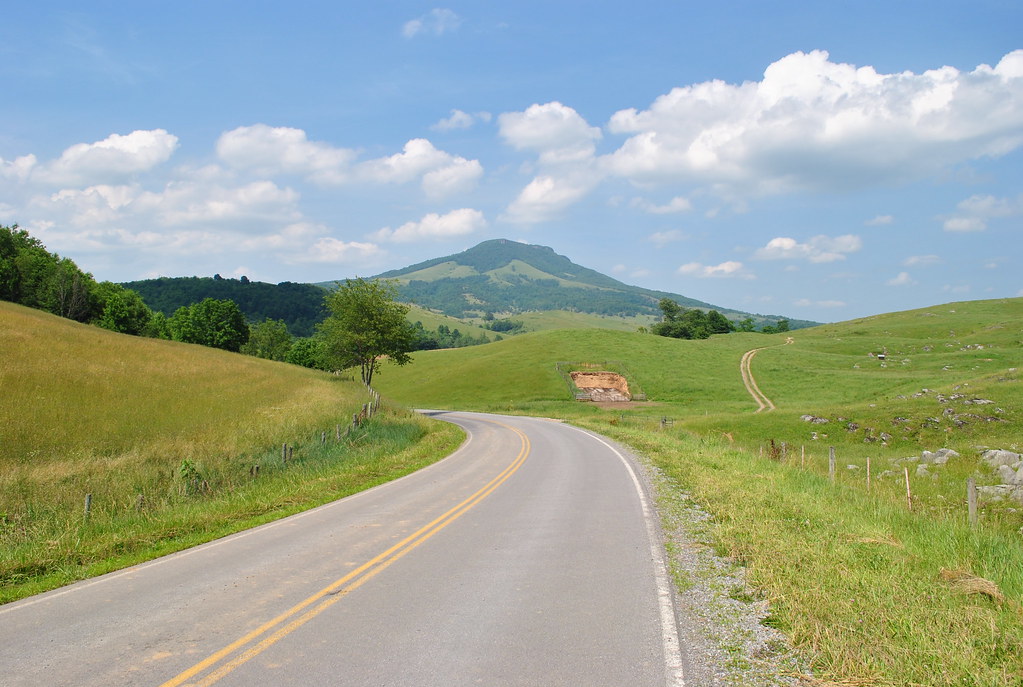
Pulled over for a quick view
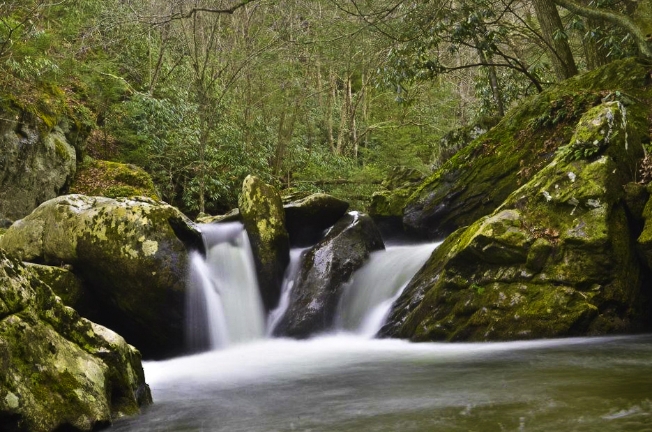
Virginia Creeper, VA
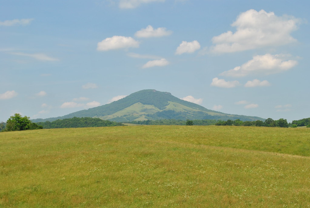
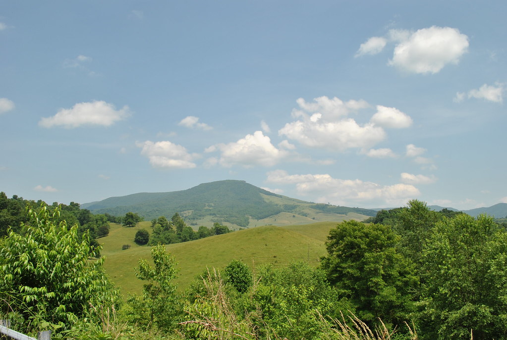
THE COVE
THE COVE
THE COVE
THE COVE
THE COVE
THE COVE
THE COVE
THE COVE
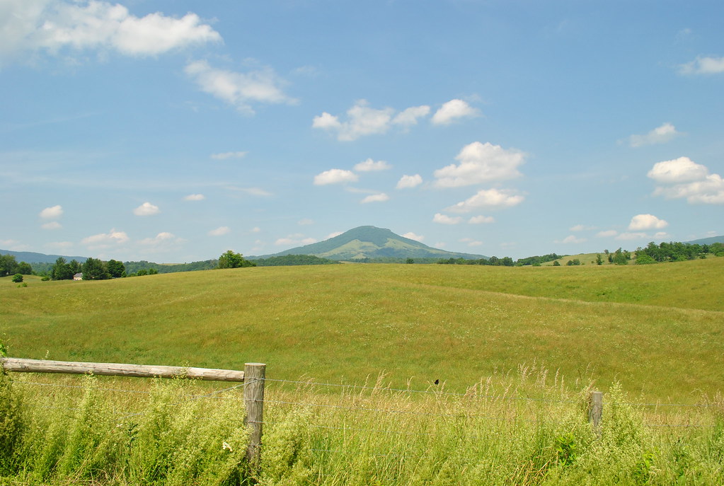
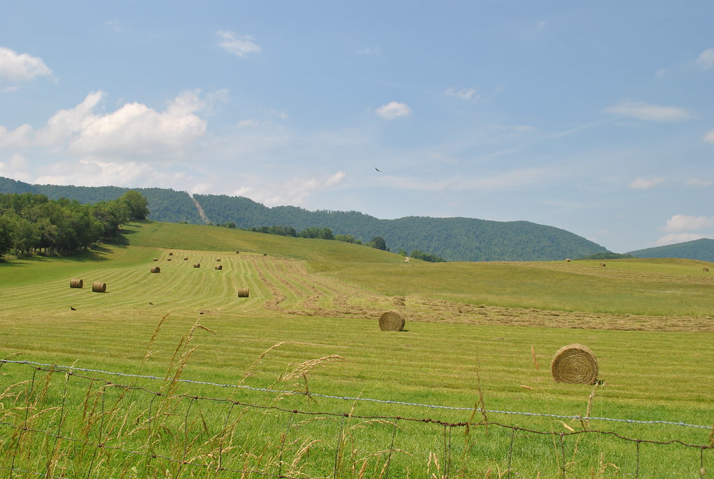
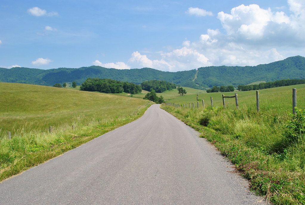
THOMPSON VALLEY
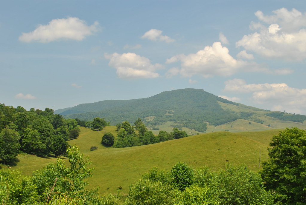
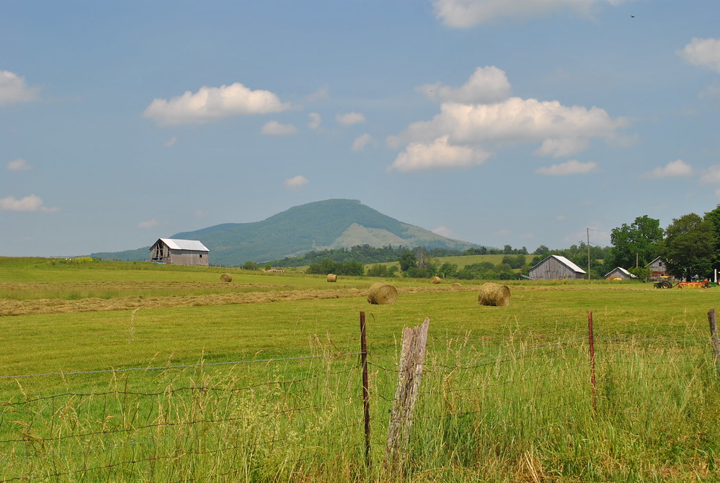
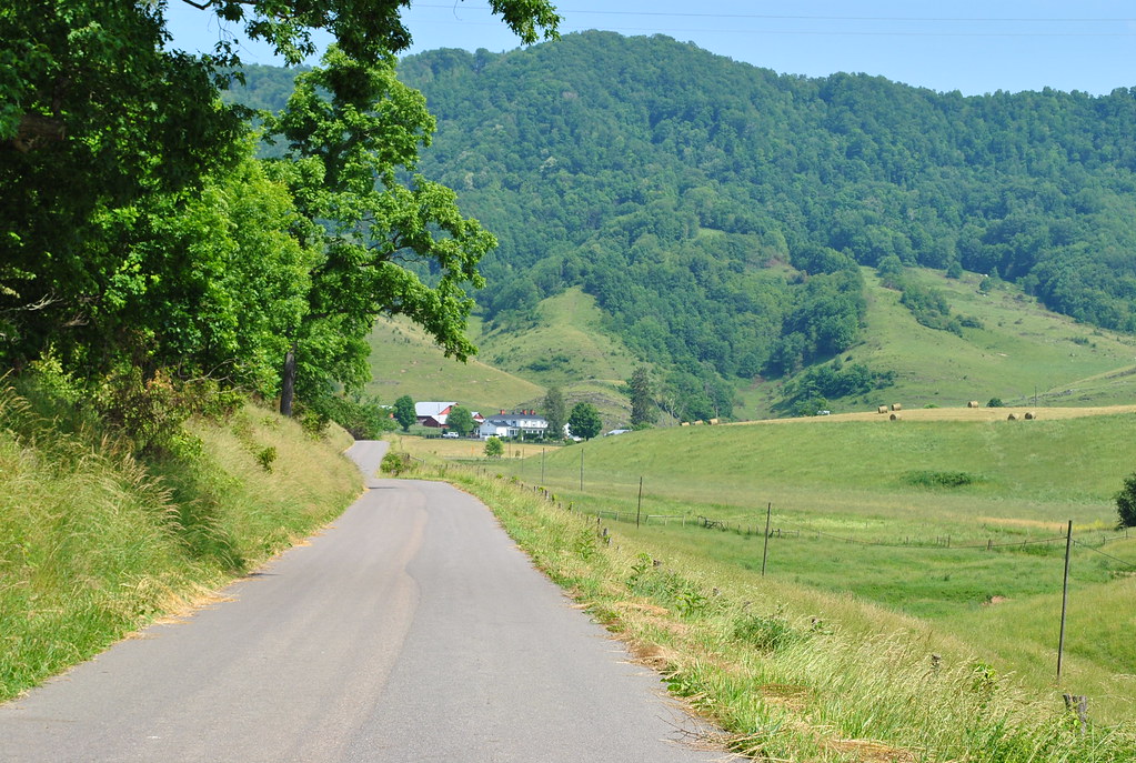
Cedar Bluff Overlook
THOMPSON VALLEY

Pisgah Road
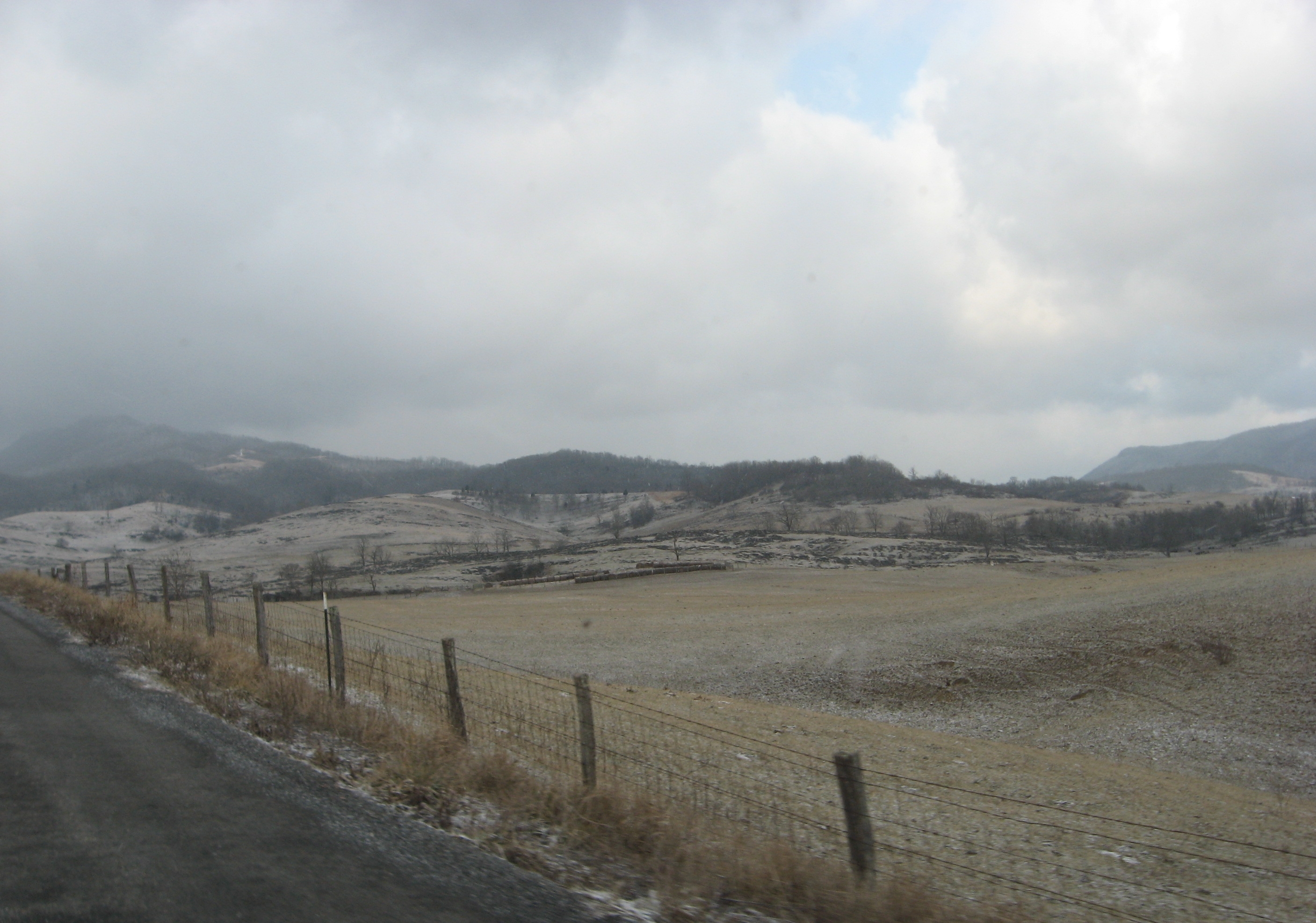
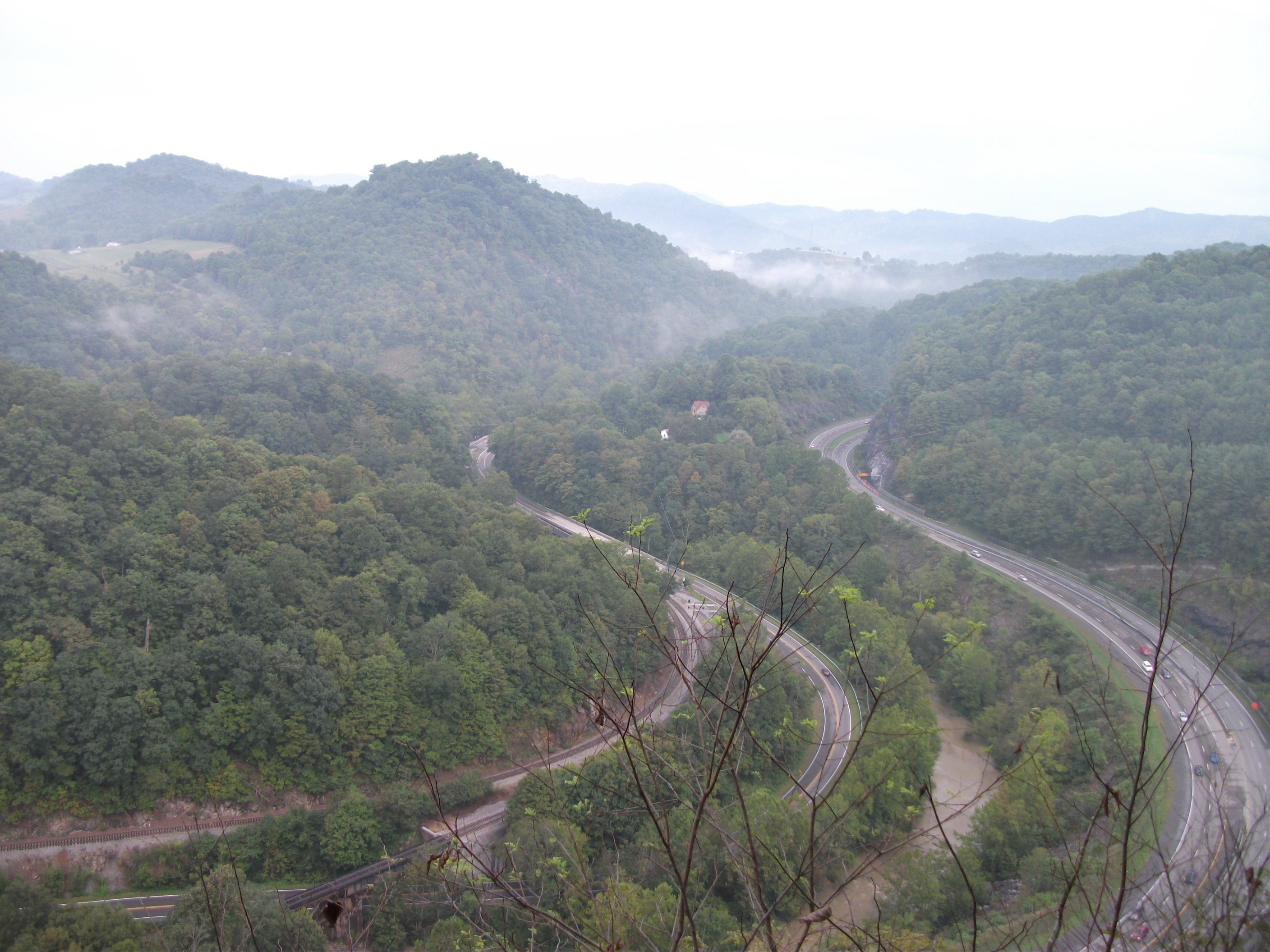
Crazy weather

Brought to You By The Letter 'S'

RICHLANDS HIGH SCHOOL
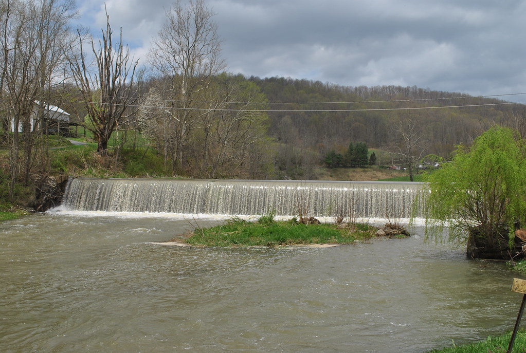
TAYLOR'S MILL DAM
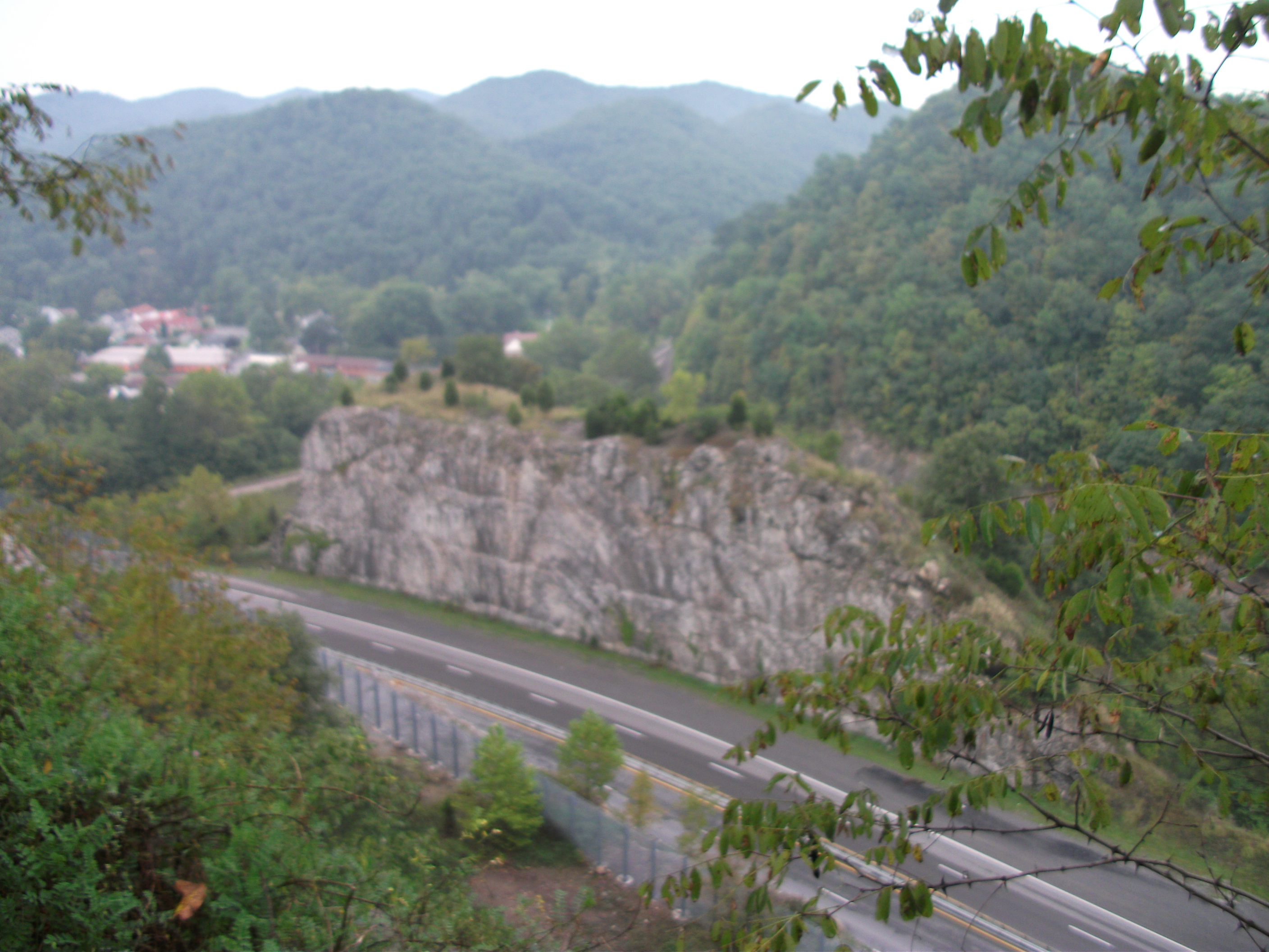
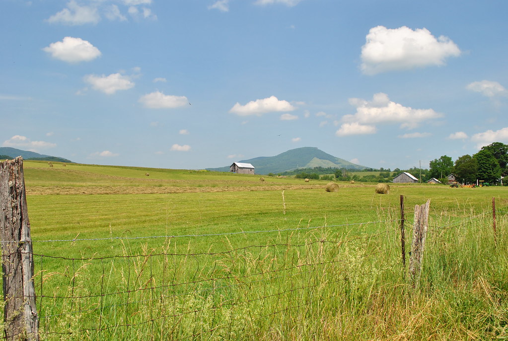
Cedar Bluff Overlook
Topographic Map of Indian Creek Rd, Cedar Bluff, VA, USA
Find elevation by address:

Places near Indian Creek Rd, Cedar Bluff, VA, USA:
3756 Ravens Nest Branch Rd
Bandy Rd, Cedar Bluff, VA, USA
Bandy
258 Middle Creek Rd
Shannon Heights
431 Grayson Ave
Richlands
720 Shannons Branch Rd
571 Forest Rd
Forest Lane
Lakeview Drive
Baptist Valley Rd, Cedar Bluff, VA, USA
Jewell Ridge
Amonate
Amonate Rd, Amonate, VA, USA
Northwestern
Johnsons Branch Rd, Bandy, VA, USA
Vidalia Lane
7331 Baptist Valley Rd
Road Ridge Turnpike
Recent Searches:
- Elevation of Tenjo, Cundinamarca, Colombia
- Elevation of Côte-des-Neiges, Montreal, QC H4A 3J6, Canada
- Elevation of Bobcat Dr, Helena, MT, USA
- Elevation of Zu den Ihlowbergen, Althüttendorf, Germany
- Elevation of Badaber, Peshawar, Khyber Pakhtunkhwa, Pakistan
- Elevation of SE Heron Loop, Lincoln City, OR, USA
- Elevation of Slanický ostrov, 01 Námestovo, Slovakia
- Elevation of Spaceport America, Co Rd A, Truth or Consequences, NM, USA
- Elevation of Warwick, RI, USA
- Elevation of Fern Rd, Whitmore, CA, USA