Elevation of IN-, New Salisbury, IN, USA
Location: United States > Indiana > Harrison County > Morgan Township >
Longitude: -86.096292
Latitude: 38.3668607
Elevation: 243m / 797feet
Barometric Pressure: 98KPa
Elevation Map:
Satellite Map:
Related Photos:
summer sunset
Sunset Outside Corydon
Splash of Color
sun down

DSC-HX1 Panorama
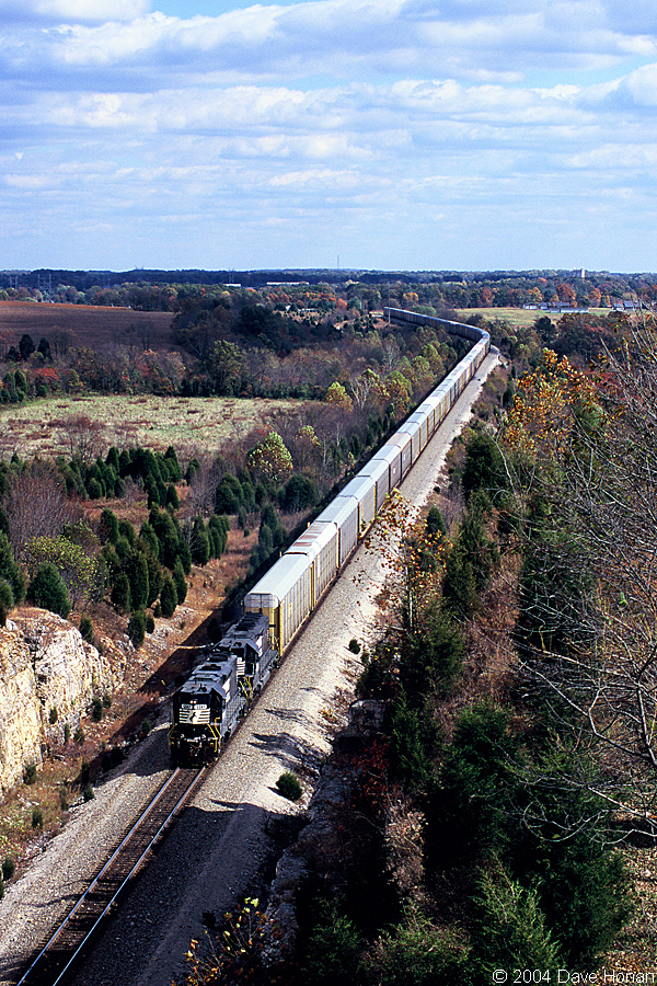
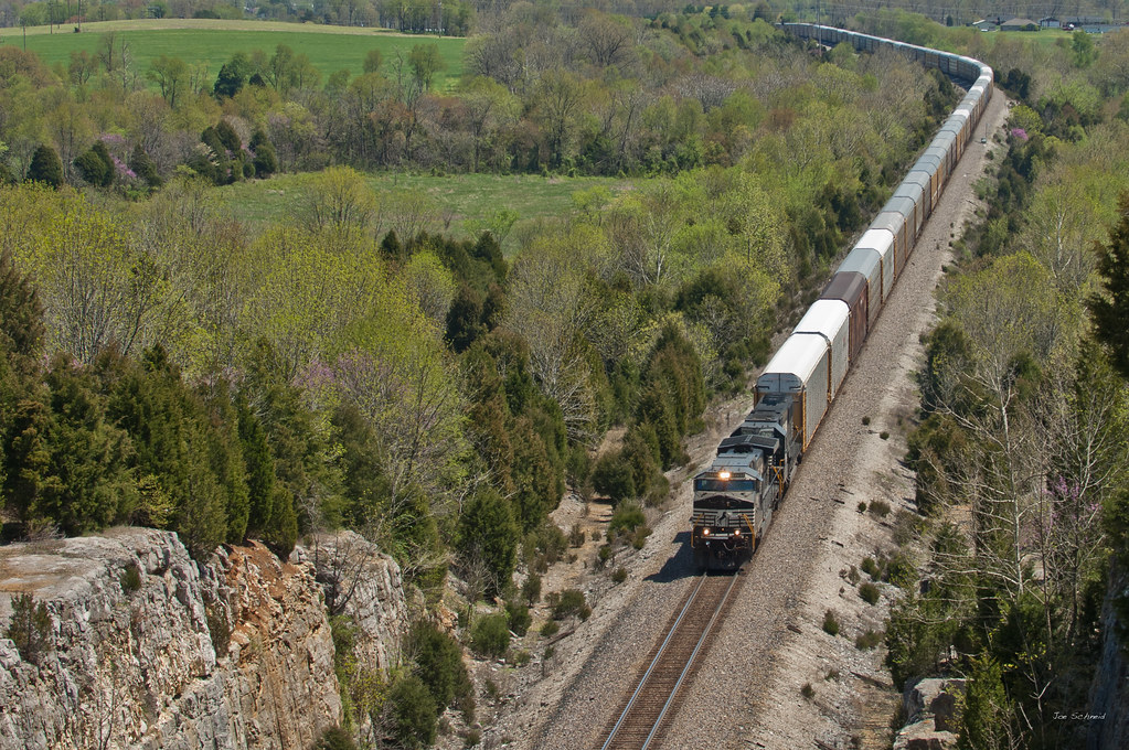
NS 5047 on 25A - Fairdale, IN
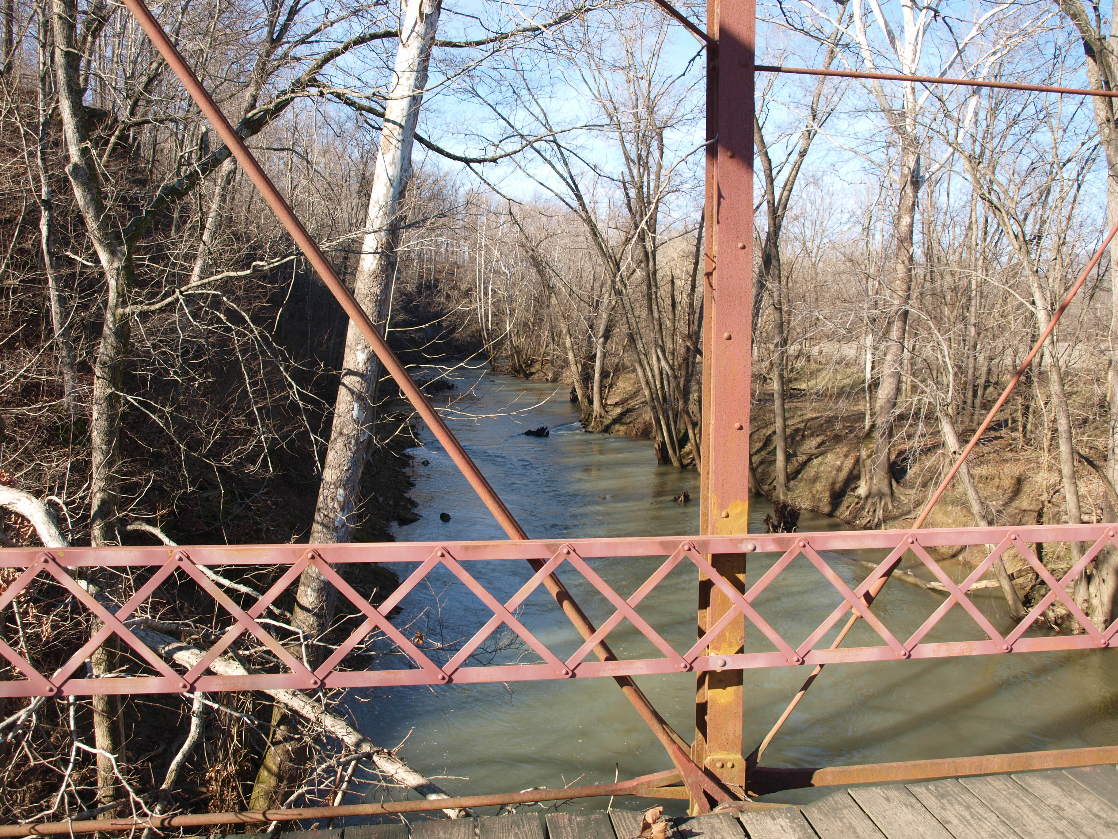
Circle Road Bridge rail and creek view, Harrison County, IN

Overhead view of Salem, Indiana, with Indiana State Road 135 (center, bottom to top) and State Road 60 (middle left to bottom right) as well as Salem Municipal Airport and Salem Speedway (near left middle)

Spider Web

1/20th

NS 975, Crandall,IN 5/13/2014
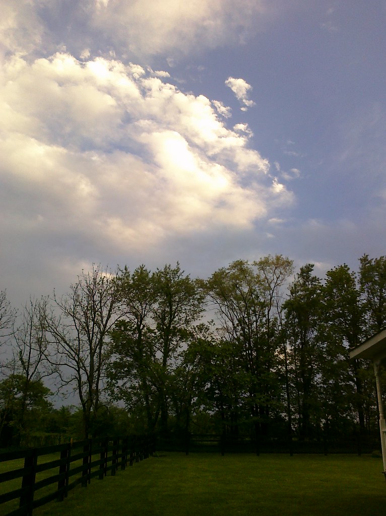
Beautiful clouds coming in over the farm
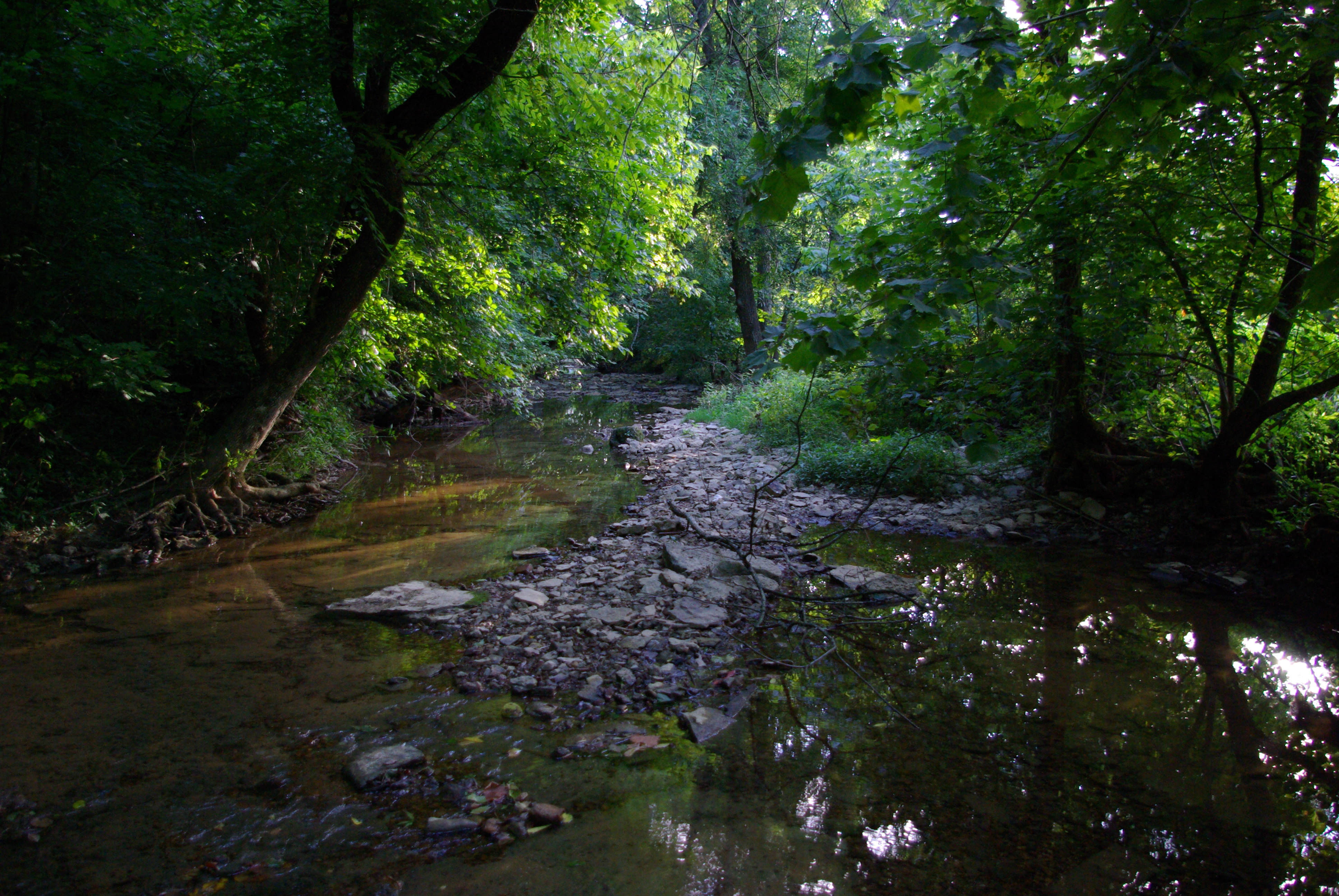
Crandall creek
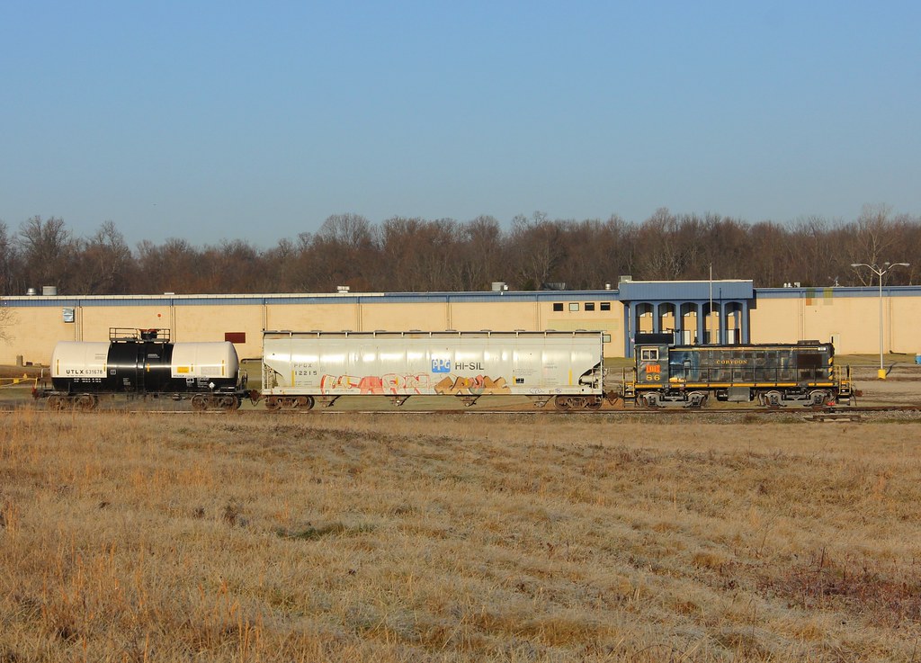
Lucas Oil #86, New Salisbury,IN 12/27/2013
Chuck.Heeke09.04.21
Late Afternoon at Joe Hurber Farmes

Norfolk Southern
Norfolk Southern

Circle Road Bridge, Harrison County, IN 2

Depauw, Indiana

Buffalo Trace Sunset
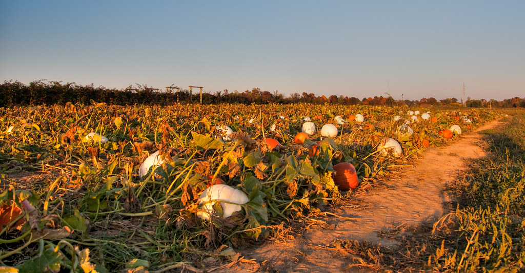
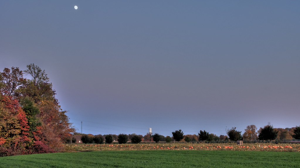
Pumpkin Patch at Joe Hurber Farms

Photographers-in-Louisville-ky-138
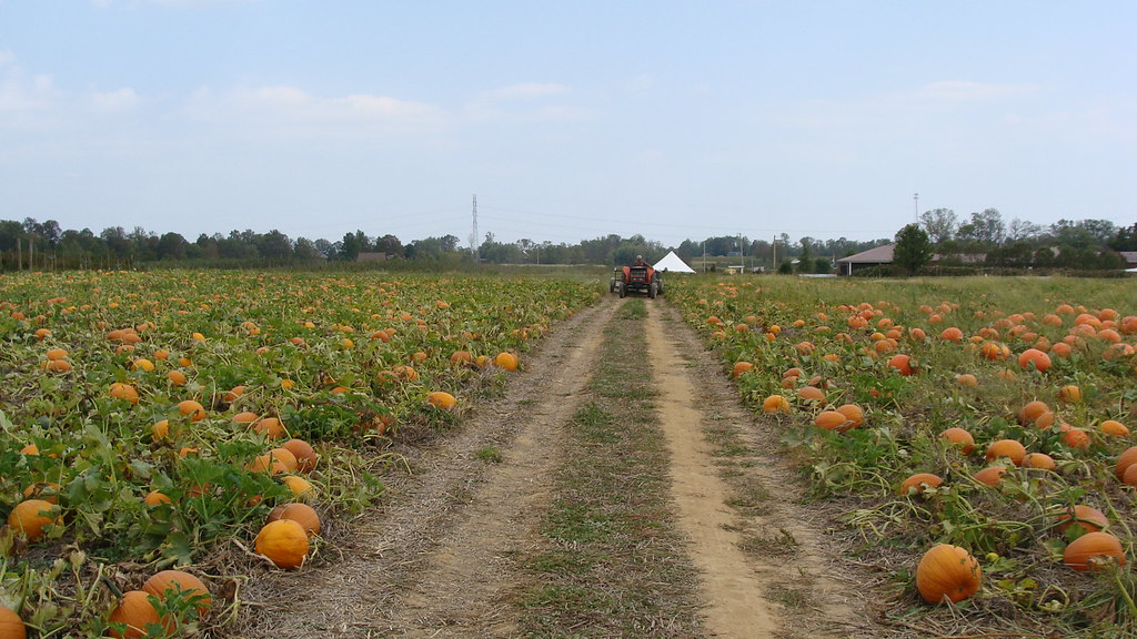
Pumpkin Patch

Don't Go To the Light
Domino's Sunset
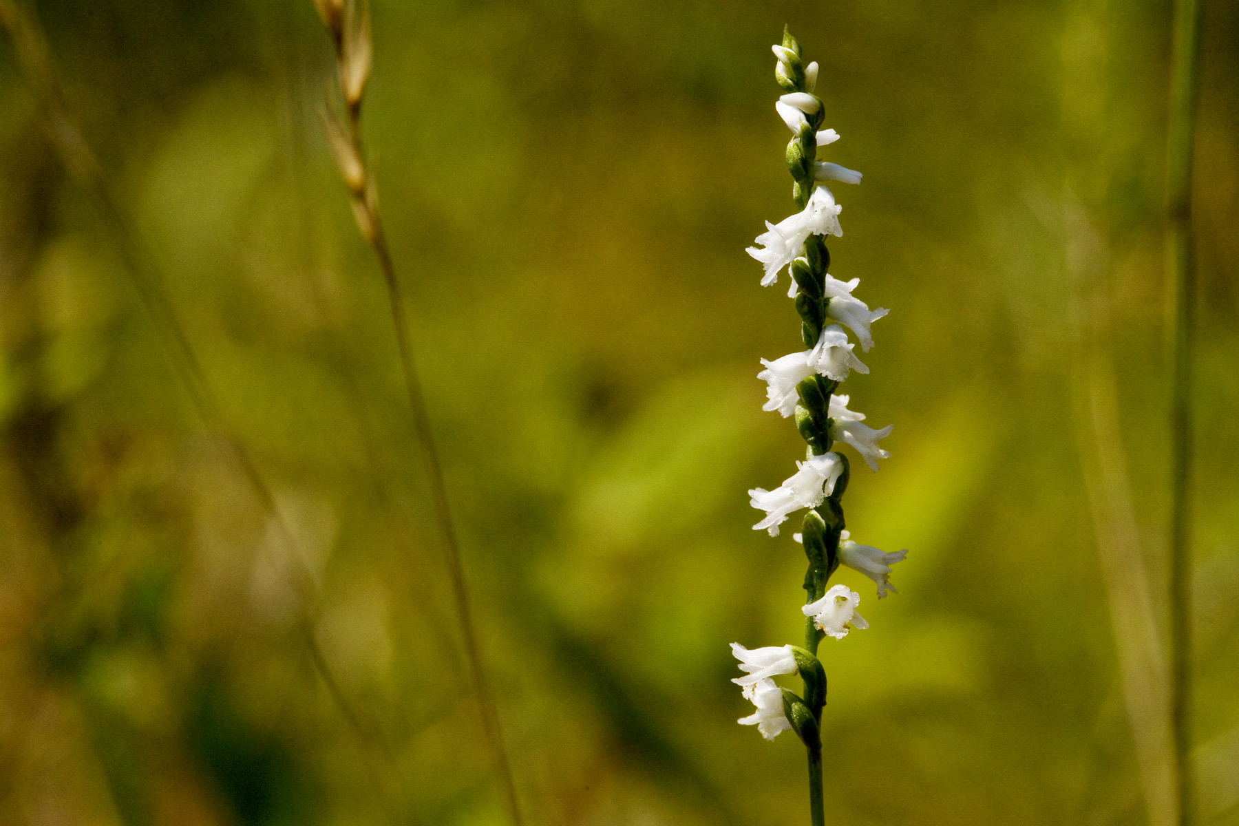
Spiranthes tuberosa

Satterfield Hill Road

A New Beginning
Topographic Map of IN-, New Salisbury, IN, USA
Find elevation by address:

Places near IN-, New Salisbury, IN, USA:
Morgan Township
W Bradford Rd NE, Palmyra, IN, USA
New Salisbury, IN, USA
Palmyra
1502 W Palmyra Lake Rd
George Southern Rd NE, Georgetown, IN, USA
Jackson Township
IN-, New Pekin, IN, USA
Greenville Township
Greenville
Indiana's Historic Pathways - South Spur, Greenville, IN, USA
Galena
Navilleton Rd, Floyds Knobs, IN, USA
Wood Township
Borden
Market St, Borden, IN, USA
104 Brewer Dr
Floyds Knobs, IN, USA
Scottsville Rd, Borden, IN, USA
1233 E Water St
Recent Searches:
- Elevation of Congressional Dr, Stevensville, MD, USA
- Elevation of Bellview Rd, McLean, VA, USA
- Elevation of Stage Island Rd, Chatham, MA, USA
- Elevation of Shibuya Scramble Crossing, 21 Udagawacho, Shibuya City, Tokyo -, Japan
- Elevation of Jadagoniai, Kaunas District Municipality, Lithuania
- Elevation of Pagonija rock, Kranto 7-oji g. 8"N, Kaunas, Lithuania
- Elevation of Co Rd 87, Jamestown, CO, USA
- Elevation of Tenjo, Cundinamarca, Colombia
- Elevation of Côte-des-Neiges, Montreal, QC H4A 3J6, Canada
- Elevation of Bobcat Dr, Helena, MT, USA