Elevation of Greenville, IN, USA
Location: United States > Indiana > Floyd County > Greenville Township >
Longitude: -85.986359
Latitude: 38.3725644
Elevation: 253m / 830feet
Barometric Pressure: 98KPa
Elevation Map:
Satellite Map:
Related Photos:

What's in my Bag 2013
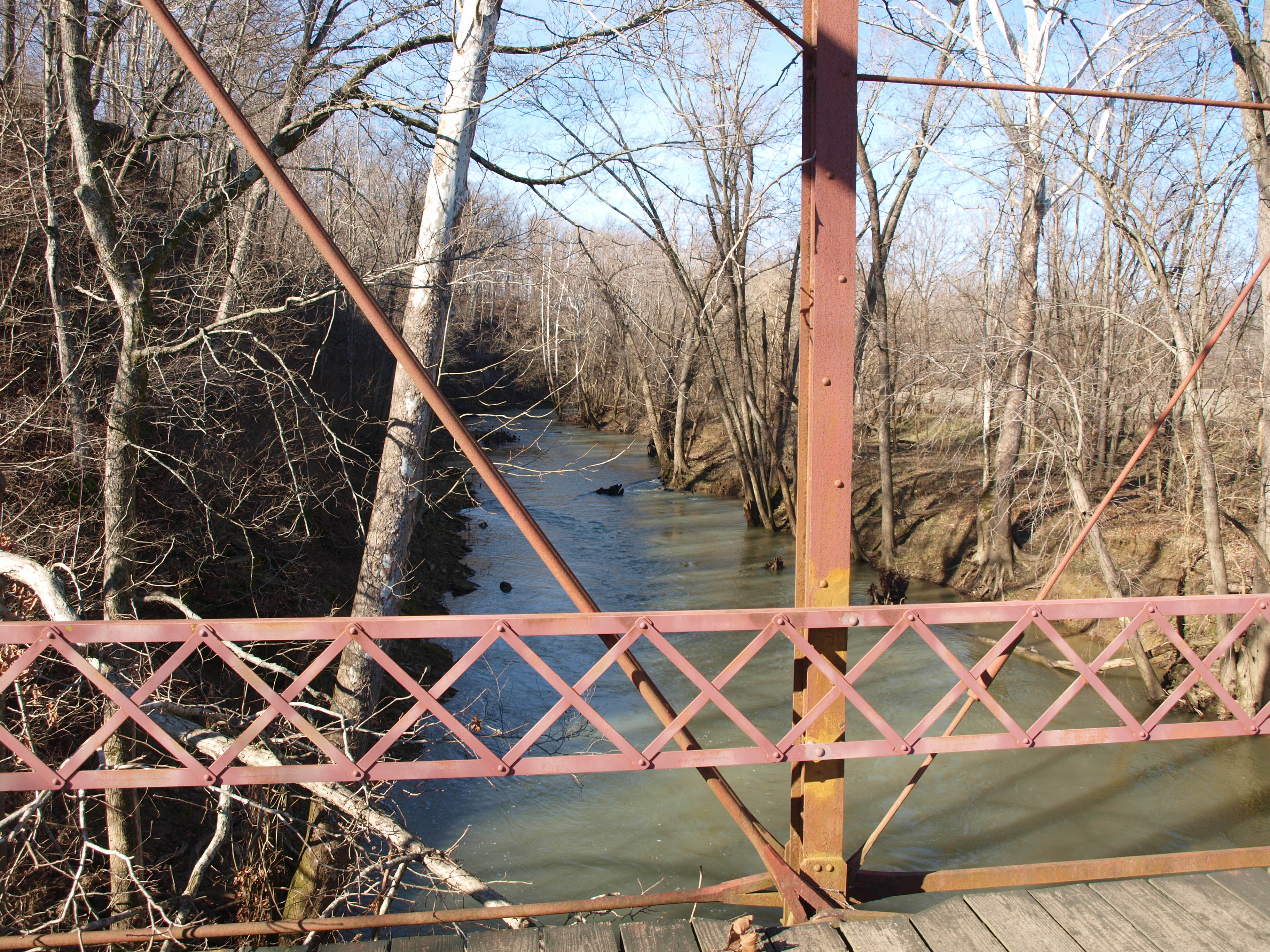
Circle Road Bridge rail and creek view, Harrison County, IN

Floyd Knobs, Indiana
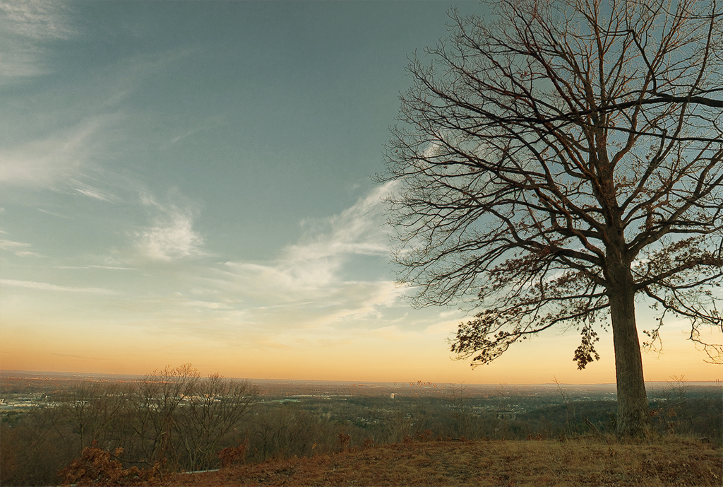
Floyd Knobs, Indiana

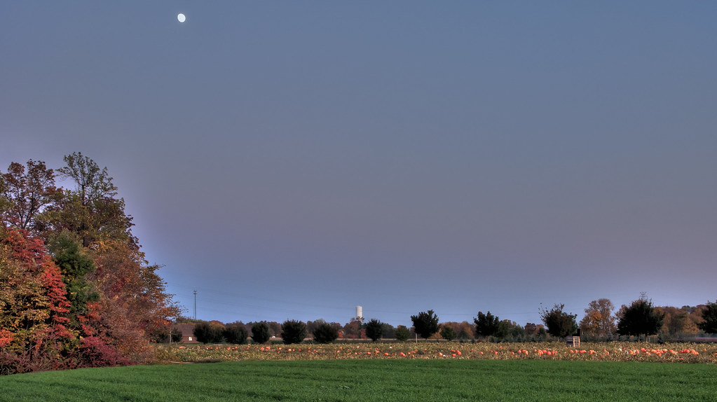
Sunset Outside Corydon

sun down
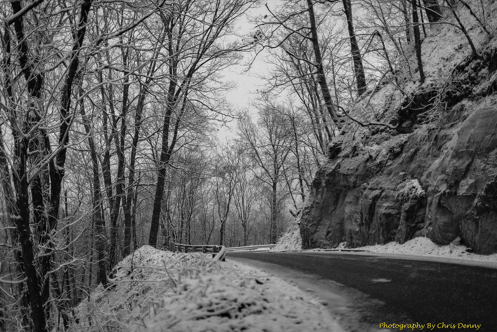
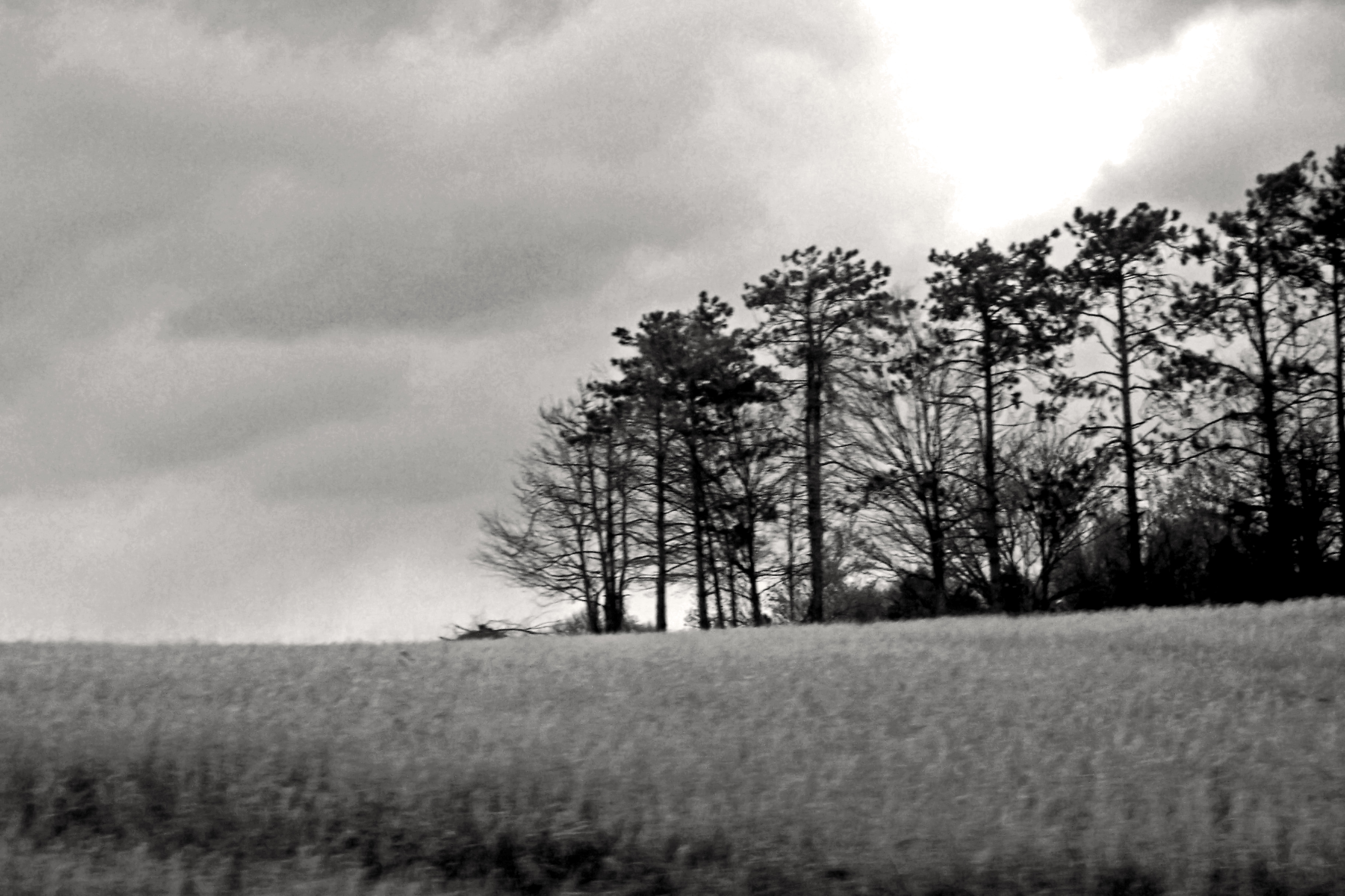
Monochrome Snow
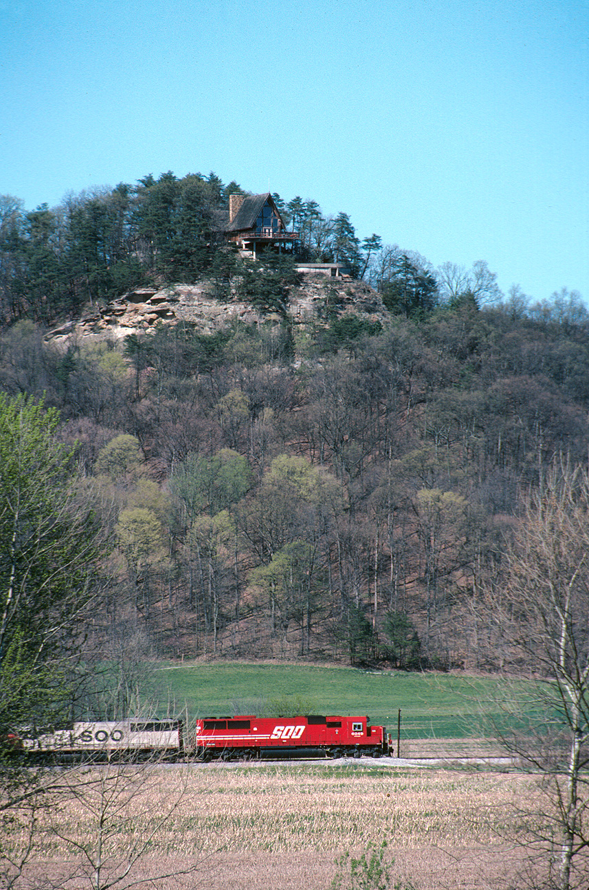
Southbound 240 south of Borden

Overhead view of Salem, Indiana, with Indiana State Road 135 (center, bottom to top) and State Road 60 (middle left to bottom right) as well as Salem Municipal Airport and Salem Speedway (near left middle)
What a View
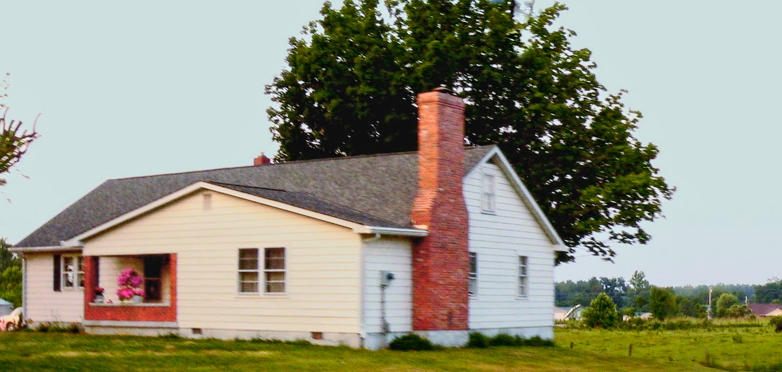
wood township gable front and wing house

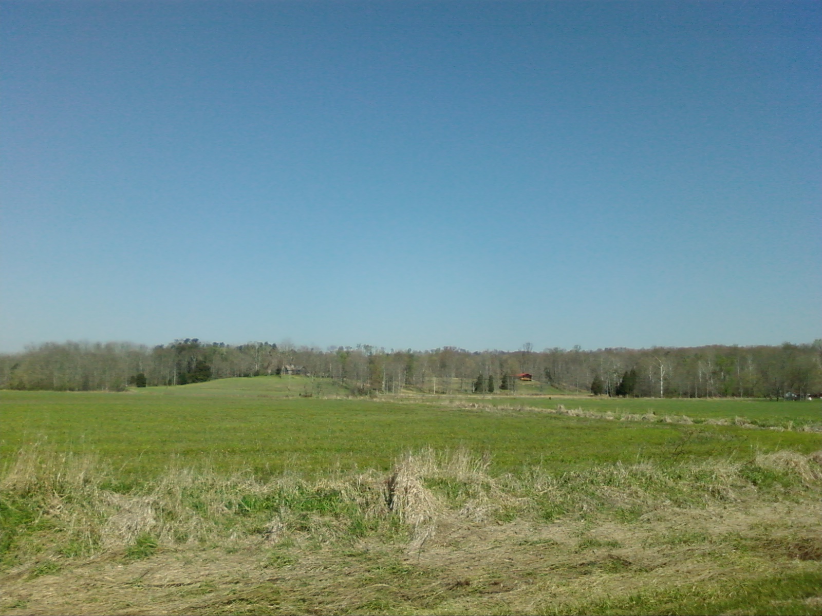
View from the Car
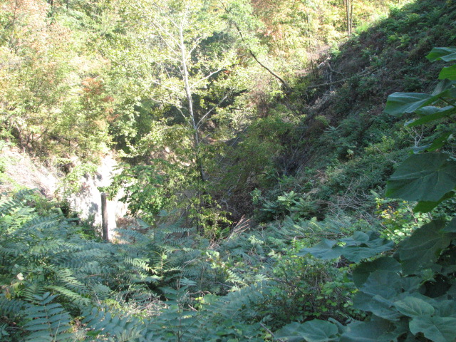
View from Tunnel Vision Cache

Bring Out Your Dead

20170823_072653-01

golden barn
Chuck.Heeke09.04.21

20170829_195829-01
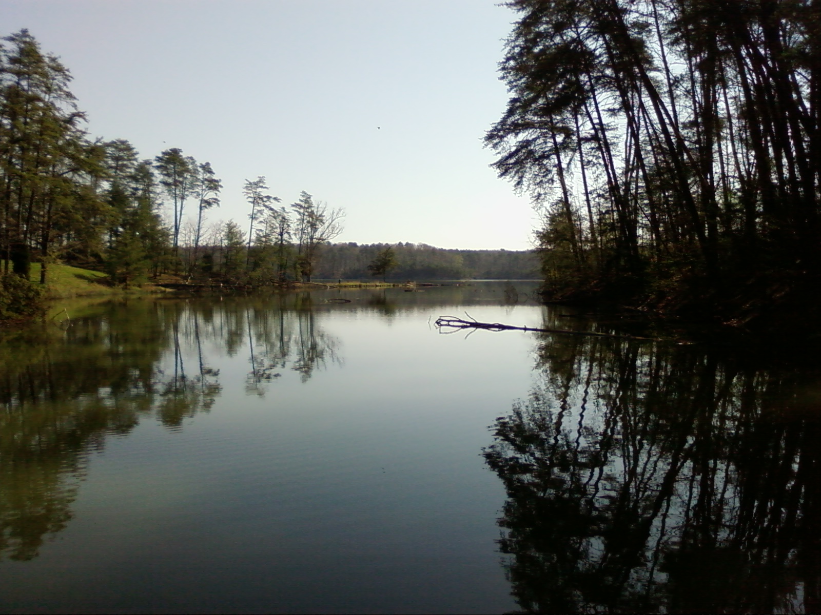
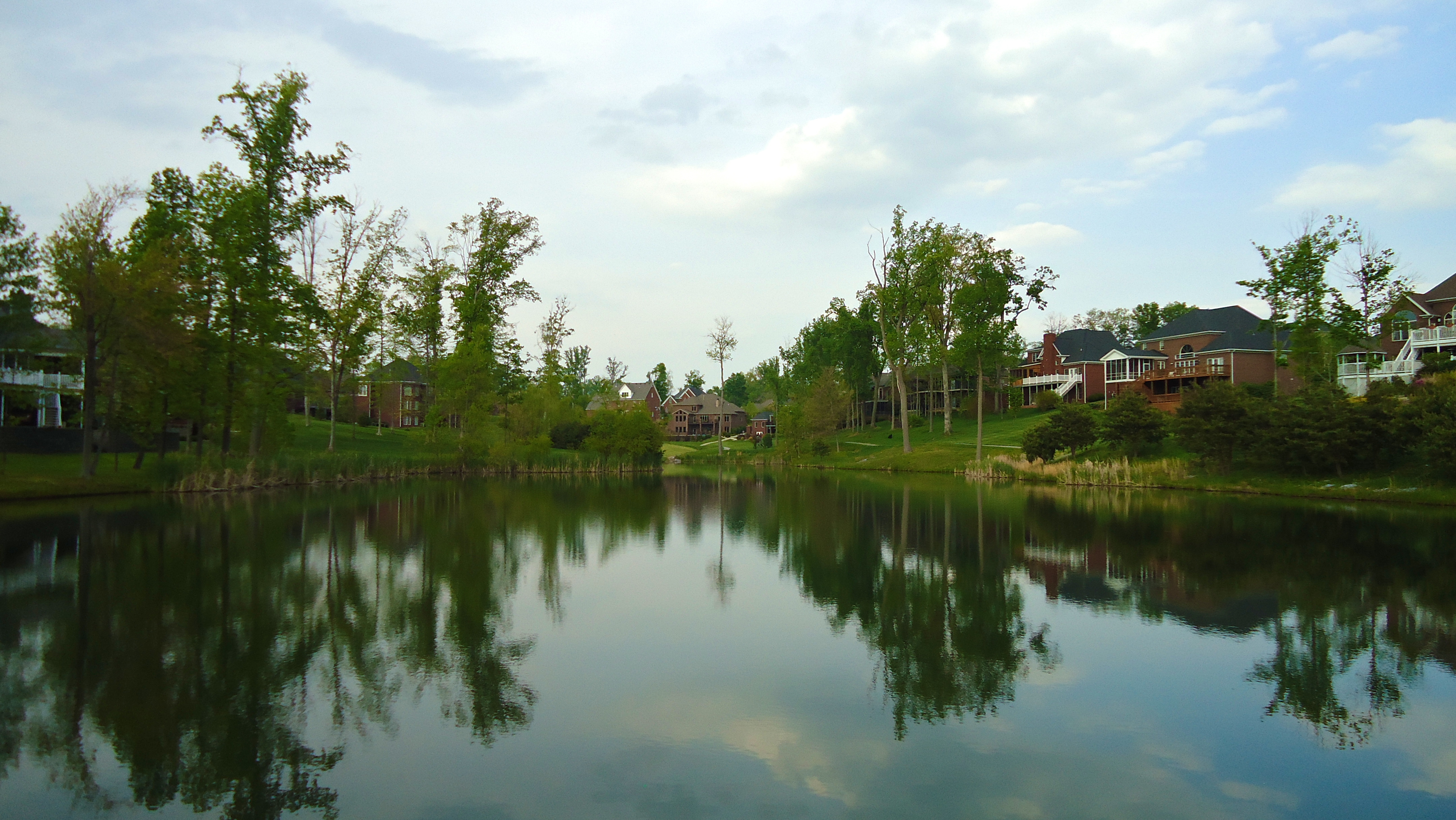
Deam Lake(l0gv)
Undisturbed.

Spider Web

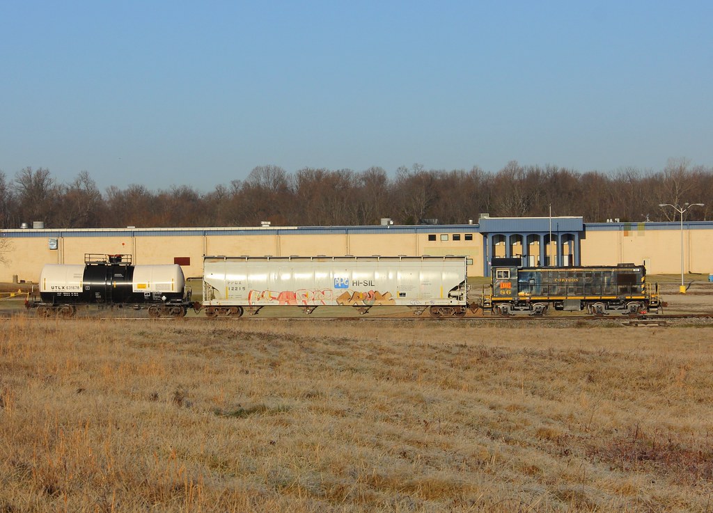
NS 975, Crandall,IN 5/13/2014
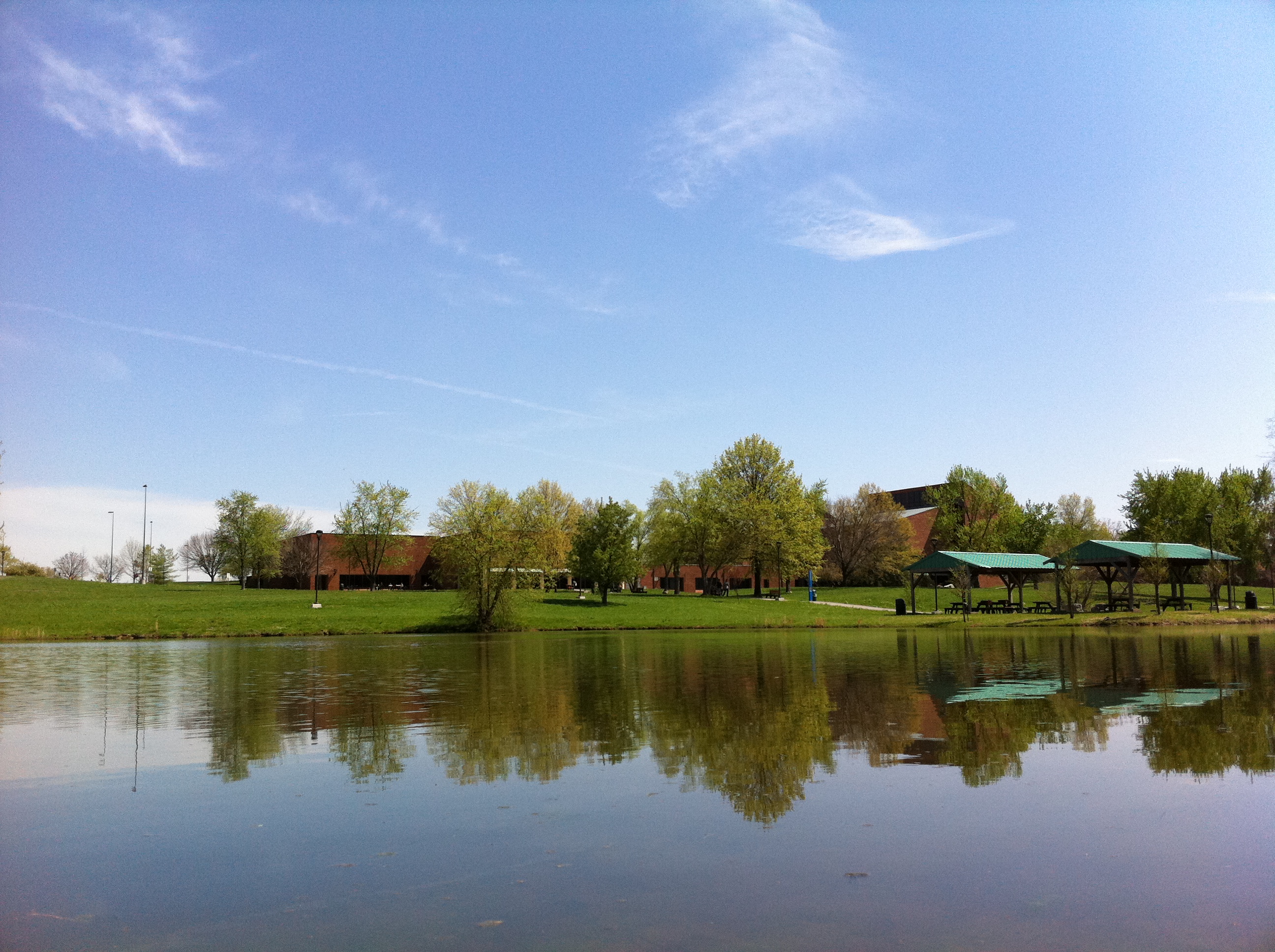
Campus Buildings in Spring
Floyd Knobs, Indiana

Floyds Knobs
20160704 154925 1SL6
Floyds Knobs
Beautiful clouds coming in over the farm
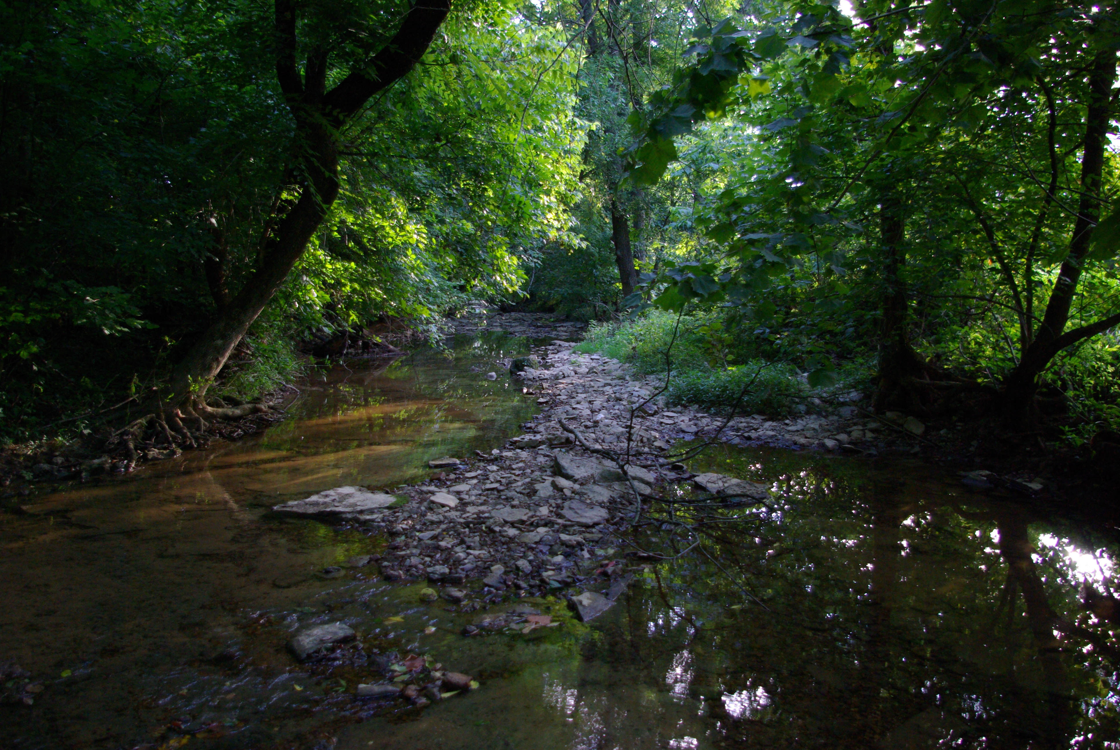
Crandall creek

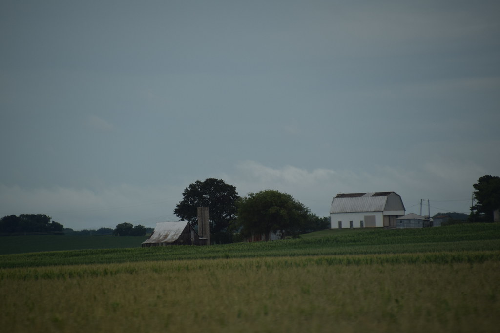
Joe Hurber Corn Field
Late Afternoon at Joe Hurber Farmes

Joe Huber Farm Panorama
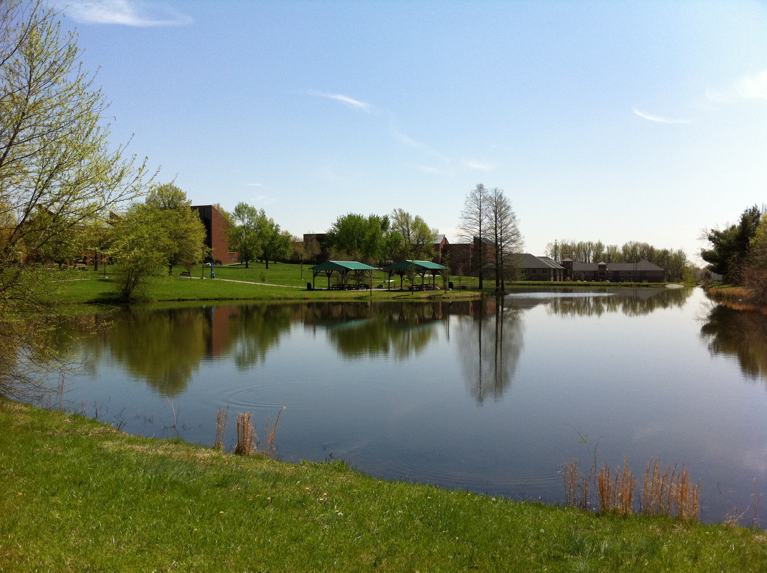
Campus Buildings in Spring
Lucas Oil #86, New Salisbury,IN 12/27/2013
Topographic Map of Greenville, IN, USA
Find elevation by address:

Places near Greenville, IN, USA:
Greenville Township
Navilleton Rd, Floyds Knobs, IN, USA
Indiana's Historic Pathways - South Spur, Greenville, IN, USA
Galena
George Southern Rd NE, Georgetown, IN, USA
Wood Township
W Bradford Rd NE, Palmyra, IN, USA
Floyds Knobs, IN, USA
IN-, New Pekin, IN, USA
Scottsville Rd, Borden, IN, USA
5150 Buck Creek Rd
5003 Denise Way
Morgan Township
9111 Paoli Pike
Borden
Market St, Borden, IN, USA
Starlight
1233 E Water St
104 Brewer Dr
4204 Fawn Ct
Recent Searches:
- Elevation of Spaceport America, Co Rd A, Truth or Consequences, NM, USA
- Elevation of Warwick, RI, USA
- Elevation of Fern Rd, Whitmore, CA, USA
- Elevation of 62 Abbey St, Marshfield, MA, USA
- Elevation of Fernwood, Bradenton, FL, USA
- Elevation of Felindre, Swansea SA5 7LU, UK
- Elevation of Leyte Industrial Development Estate, Isabel, Leyte, Philippines
- Elevation of W Granada St, Tampa, FL, USA
- Elevation of Pykes Down, Ivybridge PL21 0BY, UK
- Elevation of Jalan Senandin, Lutong, Miri, Sarawak, Malaysia