Elevation of IN-64, Oakland City, IN, USA
Location: United States > Indiana > Pike County > Patoka Township >
Longitude: -87.294563
Latitude: 38.339176
Elevation: 137m / 449feet
Barometric Pressure: 100KPa
Elevation Map:
Satellite Map:
Related Photos:
Patoka River
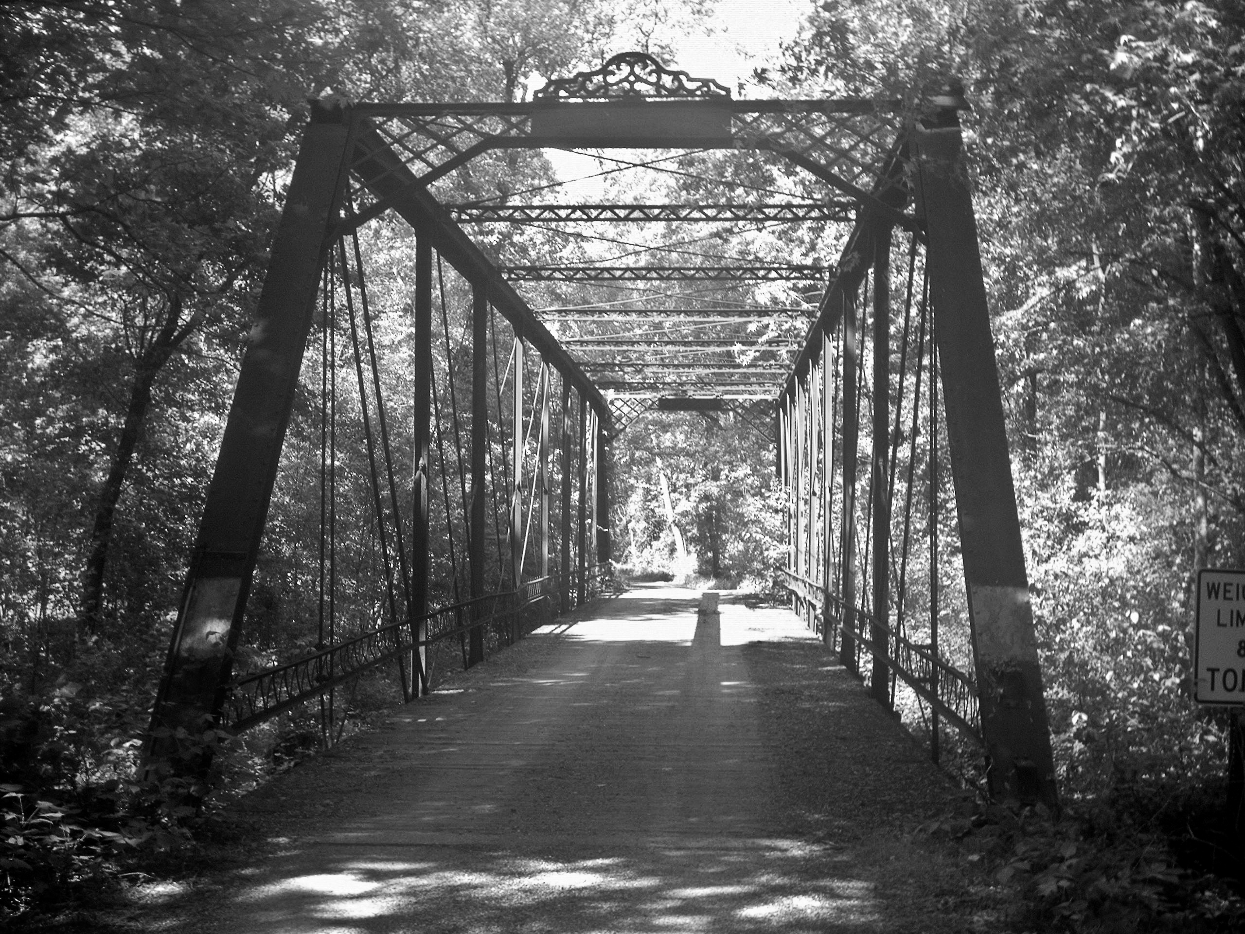
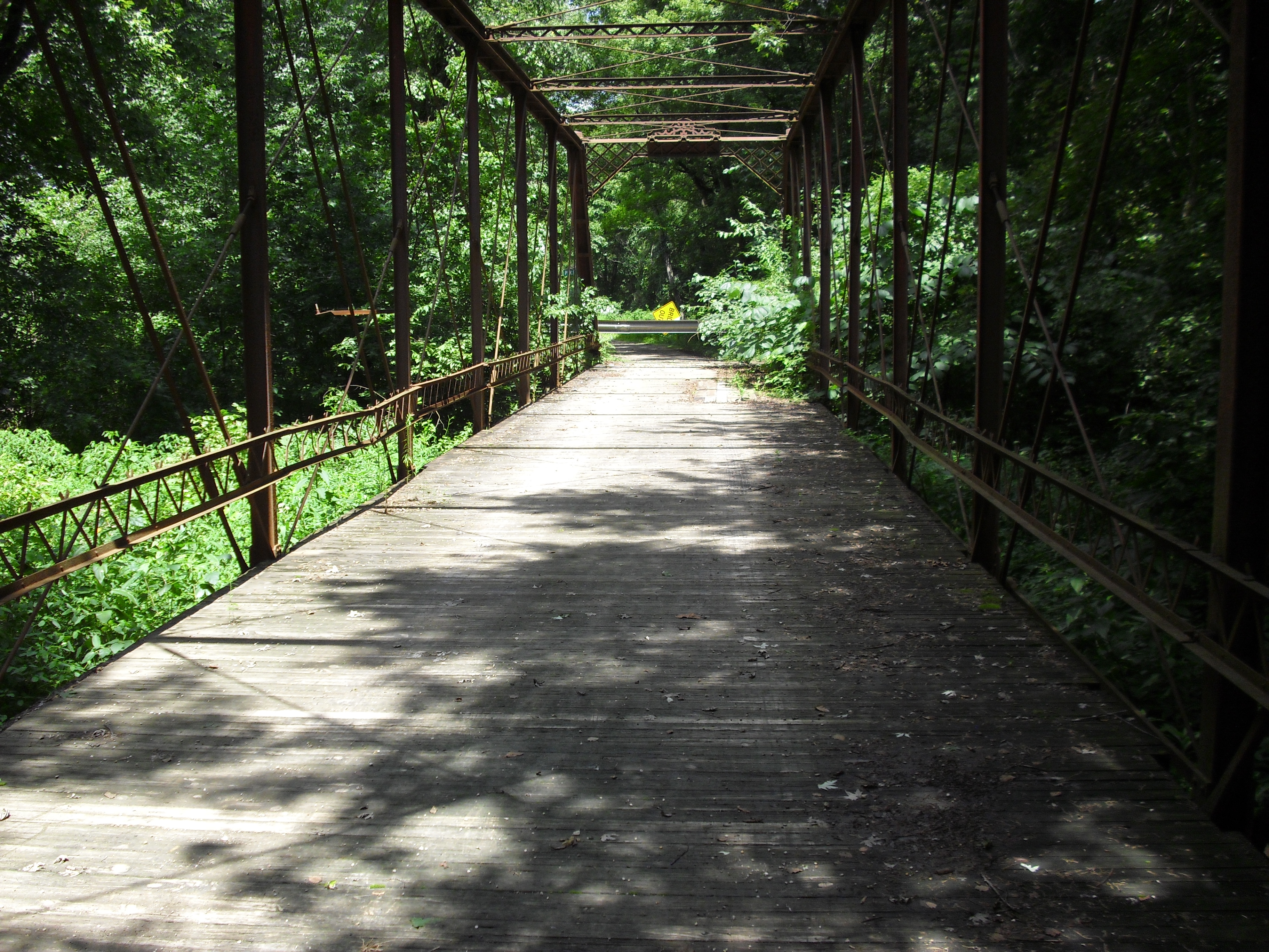
South Fork Patoka River Bridge
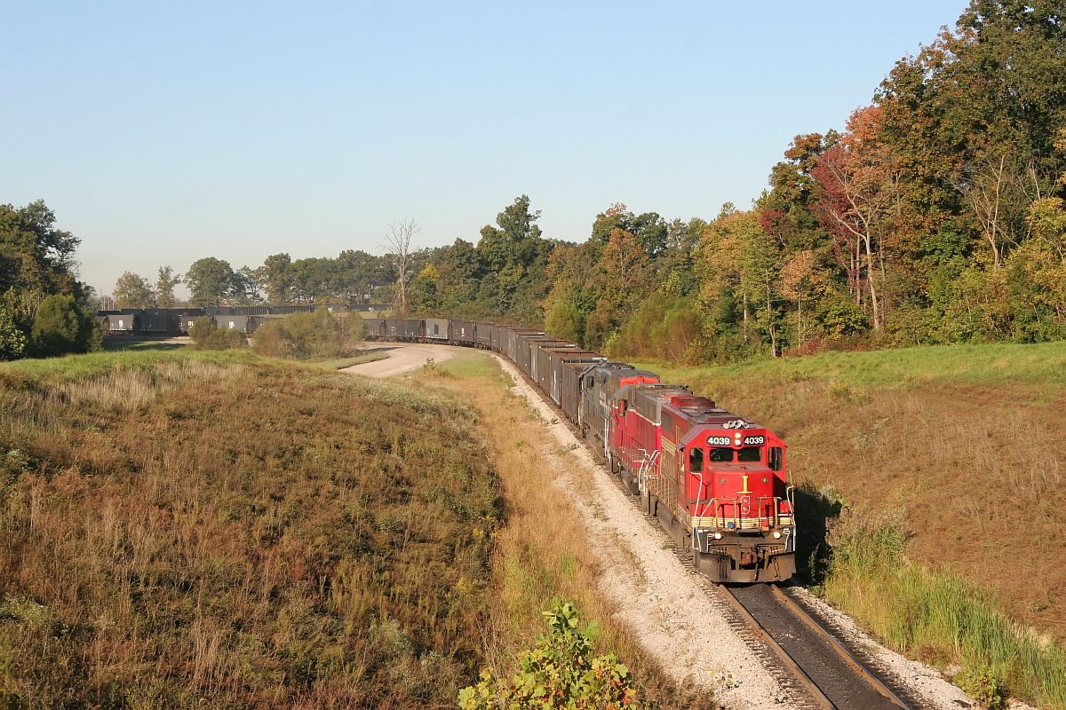
ISRR 4039 Somerville IN 08 Oct 2006

Savannah Sparrow 10-30-2016

Savannah Sparrow 3-25-2016 by Tom Becker
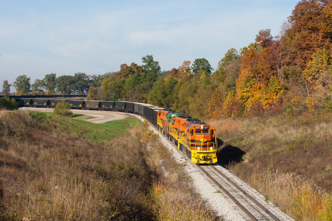
ISRR 3371 Somerville IN 23 Oct 2014b
Warrick County Coal Surface Mining (Strip Mine)

My life❤️ these boys, and a few of me and my family.

Short-eared Owl 1-14-2016 by Tom Becker
No Matter What
NS 319, Oakland City, IN 9/24/2016

Indiana, Warrick County
Topographic Map of IN-64, Oakland City, IN, USA
Find elevation by address:

Places near IN-64, Oakland City, IN, USA:
IN-61, Winslow, IN, USA
Oakland City
County Rd E, Oakland City, IN, USA
W Co Rd S, Petersburg, IN, USA
Columbia Township
Patoka Township
Pike County
Winslow
30 IN-61, Winslow, IN, USA
IN-57, Petersburg, IN, USA
Washington Township
Center Township
E Main St, Francisco, IN, USA
Francisco
Madison Township
Petersburg
IN-65, Hazleton, IN, USA
N Main St, Hazleton, IN, USA
Washington Township
IN-64, Princeton, IN, USA
Recent Searches:
- Elevation of Elwyn Dr, Roanoke Rapids, NC, USA
- Elevation of Congressional Dr, Stevensville, MD, USA
- Elevation of Bellview Rd, McLean, VA, USA
- Elevation of Stage Island Rd, Chatham, MA, USA
- Elevation of Shibuya Scramble Crossing, 21 Udagawacho, Shibuya City, Tokyo -, Japan
- Elevation of Jadagoniai, Kaunas District Municipality, Lithuania
- Elevation of Pagonija rock, Kranto 7-oji g. 8"N, Kaunas, Lithuania
- Elevation of Co Rd 87, Jamestown, CO, USA
- Elevation of Tenjo, Cundinamarca, Colombia
- Elevation of Côte-des-Neiges, Montreal, QC H4A 3J6, Canada