Elevation of Columbia Township, IN, USA
Location: United States > Indiana > Gibson County >
Longitude: -87.361220
Latitude: 38.3501982
Elevation: 132m / 433feet
Barometric Pressure: 100KPa
Elevation Map:
Satellite Map:
Related Photos:
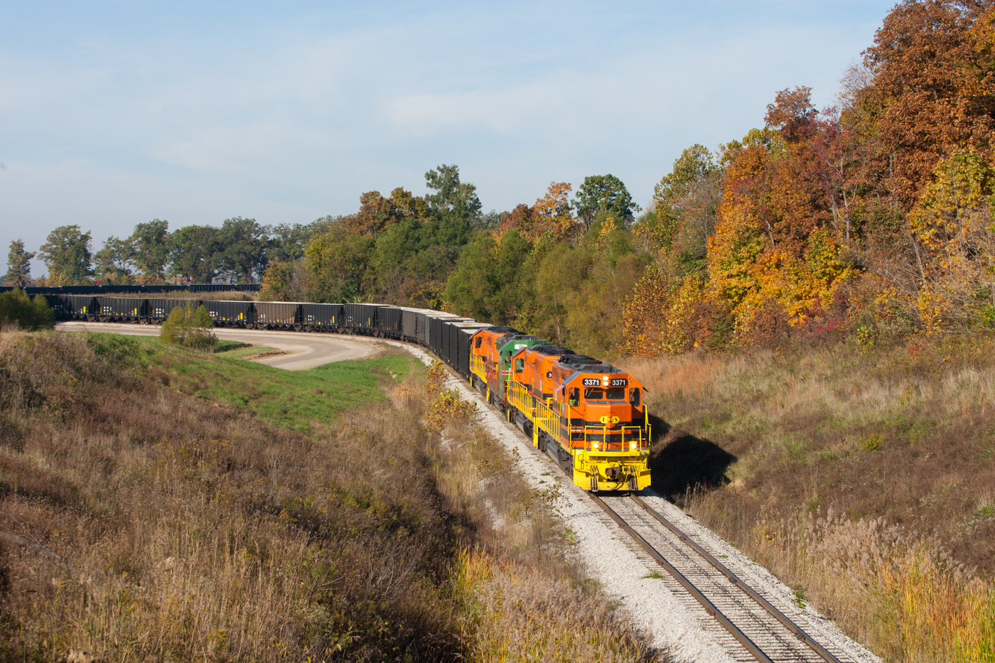
ISRR 3371 Somerville IN 23 Oct 2014b

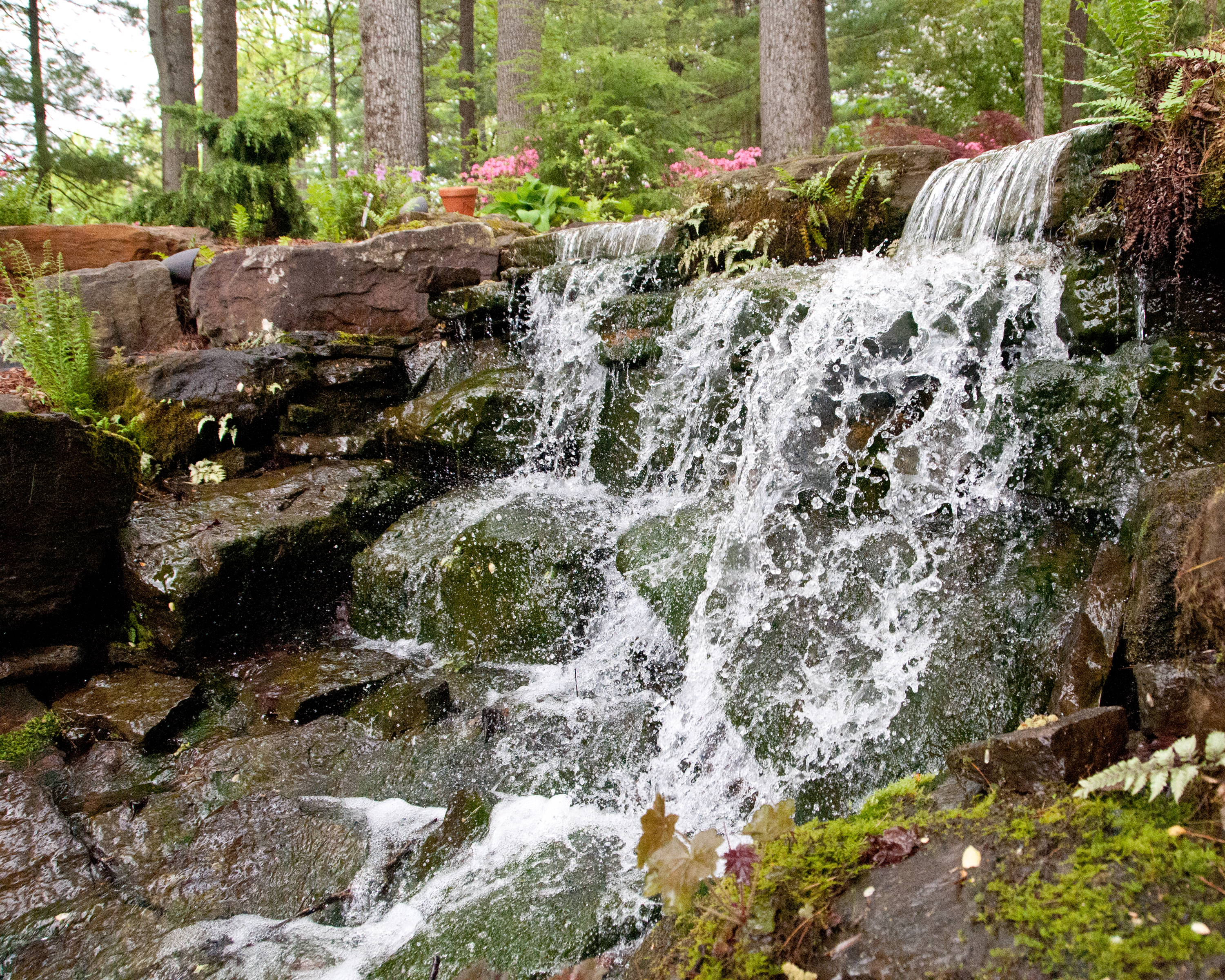
April Showers Brought May Flowers
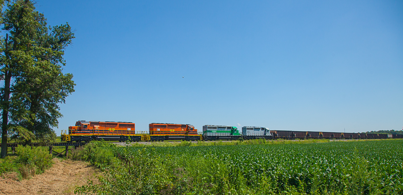
ISRR 3371 Buckskin IN 24 Aug 2013

April Showers Brought May Flowers
April Showers Brought May Flowers
No Matter What
Warrick County Coal Surface Mining (Strip Mine)
Patoka River

April Showers Brought May Flowers

April Showers Brought May Flowers

IMG_6678_edited-1
South Fork Patoka River Bridge

IMG_6829_edited-1
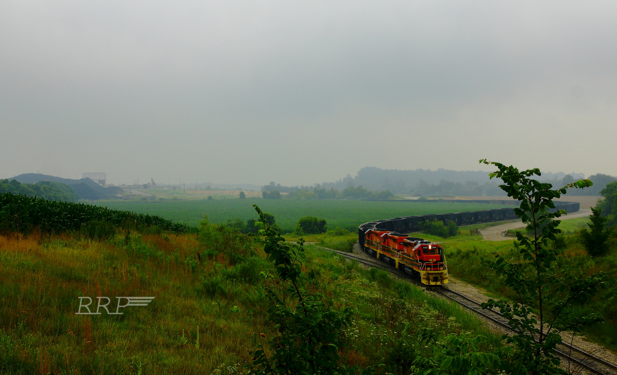
ISRR 4039 Somerville IN 08 Oct 2006

April Showers Brought May Flowers

Savannah Sparrow 3-25-2016 by Tom Becker

IMG_6739_edited-1

Savannah Sparrow 10-30-2016
NS 319, Oakland City, IN 9/24/2016

Short-eared Owl 1-14-2016 by Tom Becker
Topographic Map of Columbia Township, IN, USA
Find elevation by address:

Places in Columbia Township, IN, USA:
Places near Columbia Township, IN, USA:
Oakland City
County Rd E, Oakland City, IN, USA
IN-64, Oakland City, IN, USA
Center Township
E Main St, Francisco, IN, USA
Francisco
W Co Rd S, Petersburg, IN, USA
IN-61, Winslow, IN, USA
Pike County
IN-57, Petersburg, IN, USA
Patoka Township
Madison Township
IN-65, Hazleton, IN, USA
30 IN-61, Winslow, IN, USA
IN-64, Princeton, IN, USA
Washington Township
N Main St, Hazleton, IN, USA
Winslow
Petersburg
Washington Township
Recent Searches:
- Elevation of Elwyn Dr, Roanoke Rapids, NC, USA
- Elevation of Congressional Dr, Stevensville, MD, USA
- Elevation of Bellview Rd, McLean, VA, USA
- Elevation of Stage Island Rd, Chatham, MA, USA
- Elevation of Shibuya Scramble Crossing, 21 Udagawacho, Shibuya City, Tokyo -, Japan
- Elevation of Jadagoniai, Kaunas District Municipality, Lithuania
- Elevation of Pagonija rock, Kranto 7-oji g. 8"N, Kaunas, Lithuania
- Elevation of Co Rd 87, Jamestown, CO, USA
- Elevation of Tenjo, Cundinamarca, Colombia
- Elevation of Côte-des-Neiges, Montreal, QC H4A 3J6, Canada