Elevation of IN-37, Harlan, IN, USA
Location: United States > Indiana > Allen County > Springfield Township > Harlan >
Longitude: -84.851416
Latitude: 41.241138
Elevation: 242m / 794feet
Barometric Pressure: 98KPa
Elevation Map:
Satellite Map:
Related Photos:
Milwuakee #261 Indo
A view of the arctic campsite from within team Nate and James' igloo!
CSX Q209. June 5, 2014
ACRES Blue Cast Sptings Preserve(6)
Not Quite Savannah...

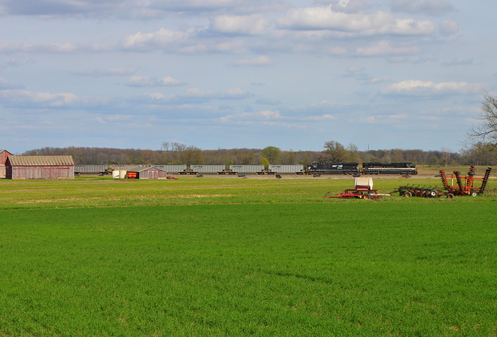
NS L96 - Grabill, Indiana
October Sky, Woodburn IN
Indiana Sky, Woodburn IN

DSC03303-1
...Or Atlanta!
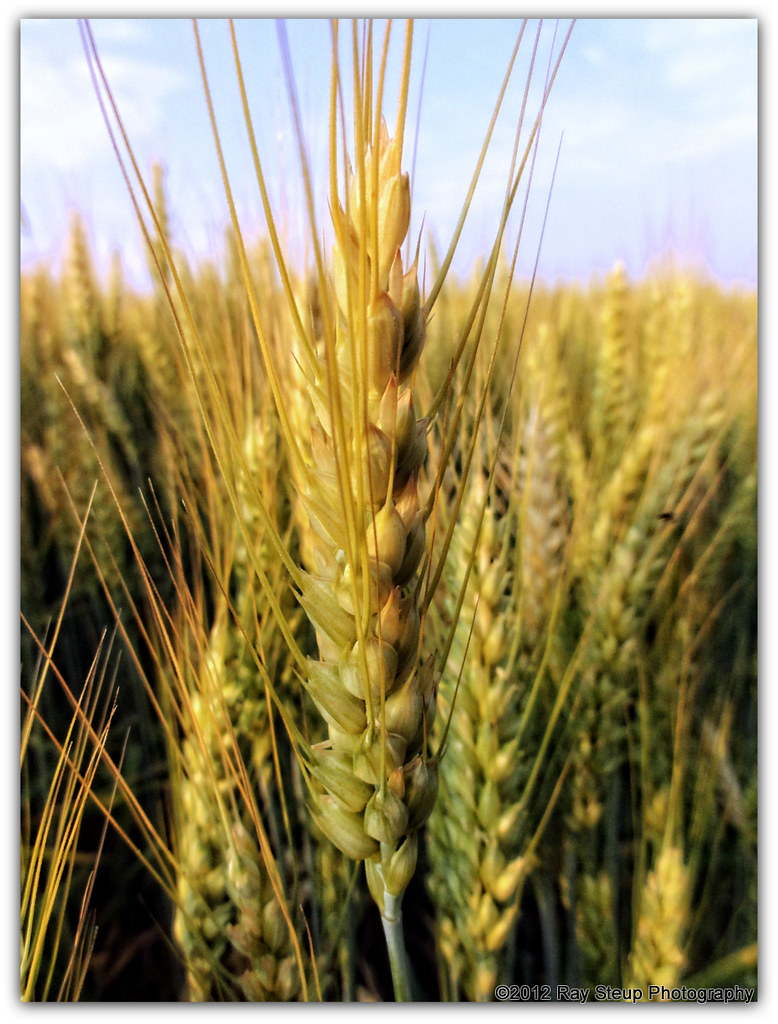
simply wheat

Fall in Indiana

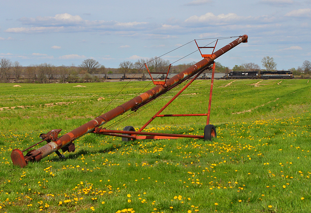
41° 11' 15.8" N 84° 45' 4.4" W0.02014:04:21 14:37:4214:37:42IMG_4137
41° 11' 19.6" N 84° 44' 26.5" W0.02014:04:21 15:08:2915:08:29IMG_4165

NS 1065 - Butler, IN

A better shot of the Earth umbra rising over the Ohio clouds at sunset.

Wetlands, St Joe IN

Bridge Reflection (10-5) (1 of 1)
Dedicated to Mom
41° 11' 50.8" N 84° 44' 19.8" W0.02014:04:21 14:58:0414:58:04IMG_4153
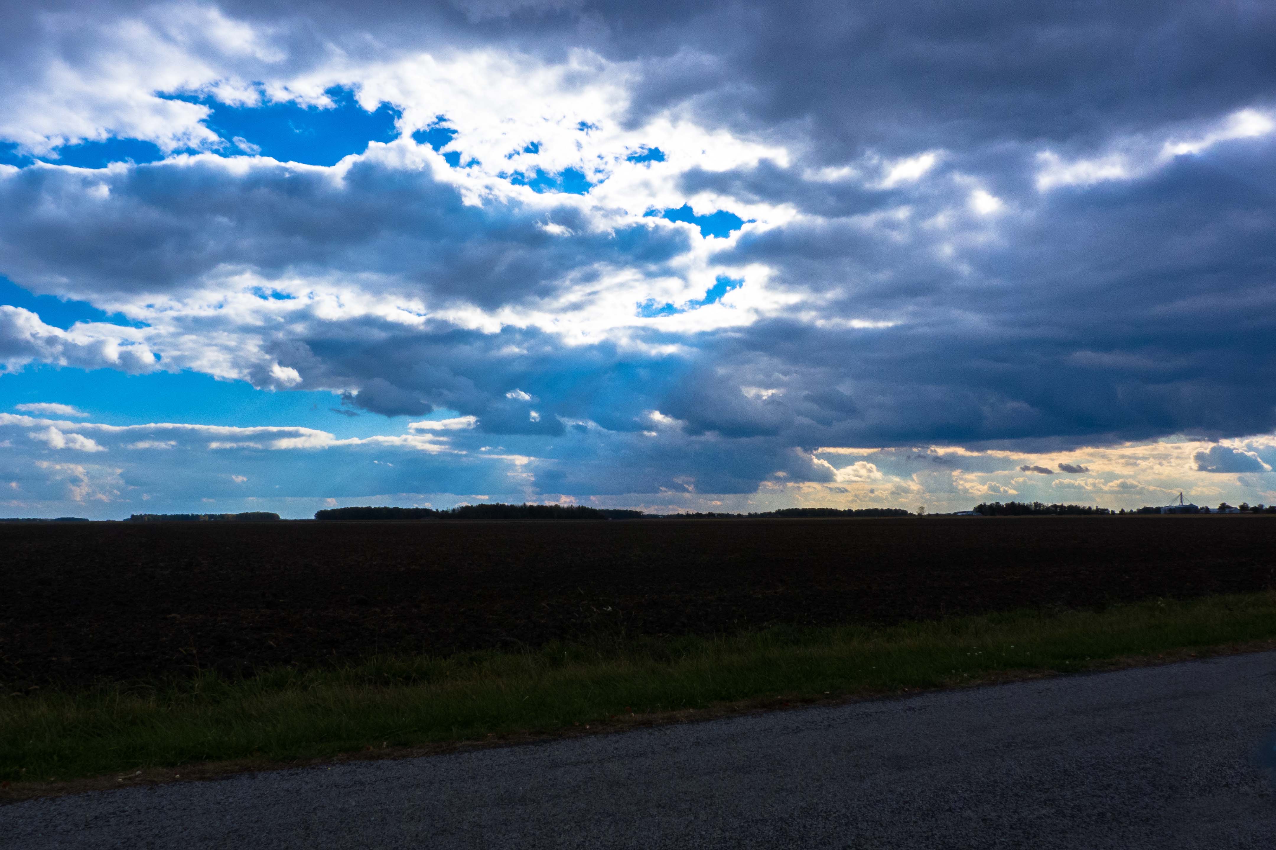
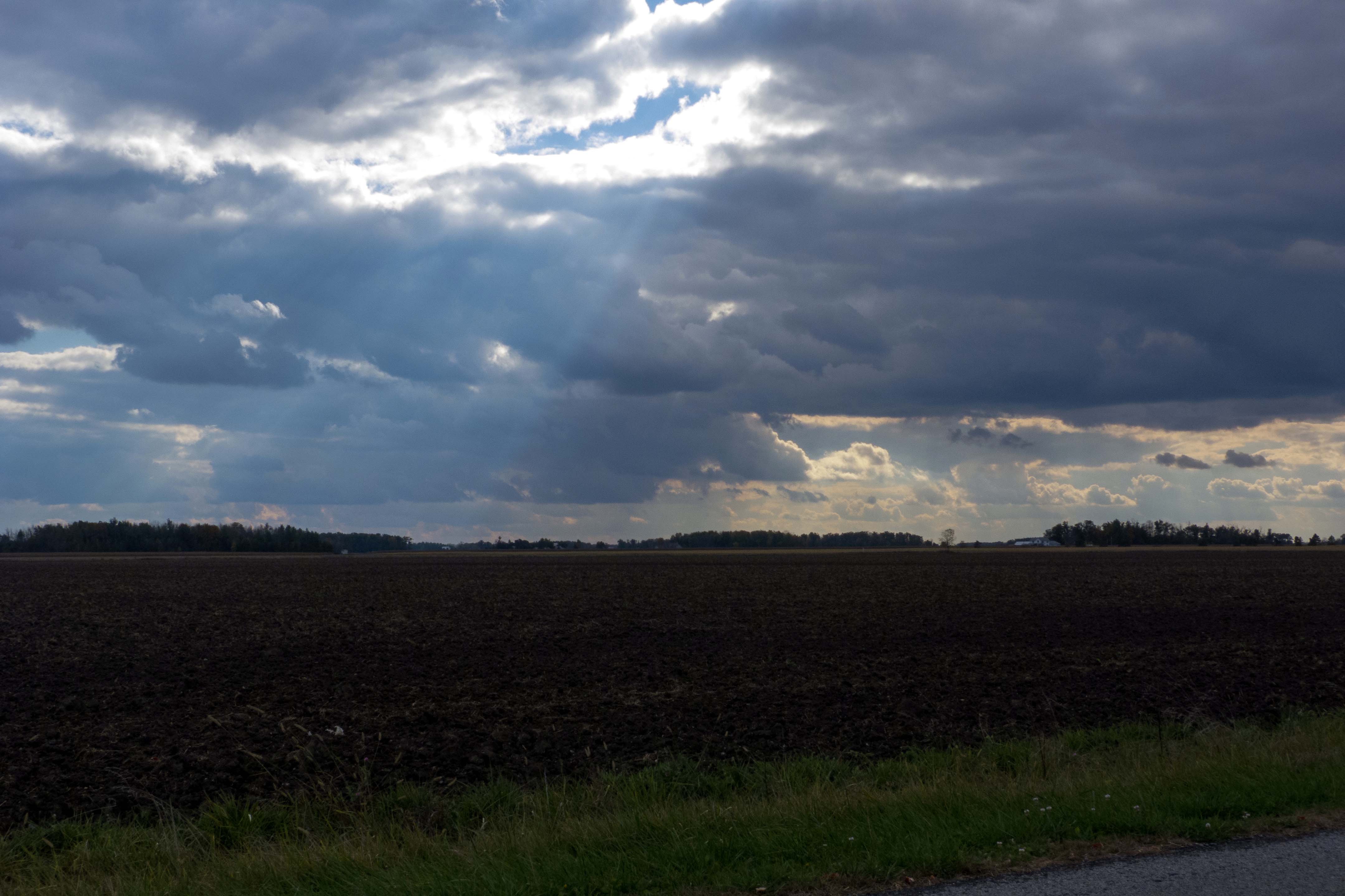
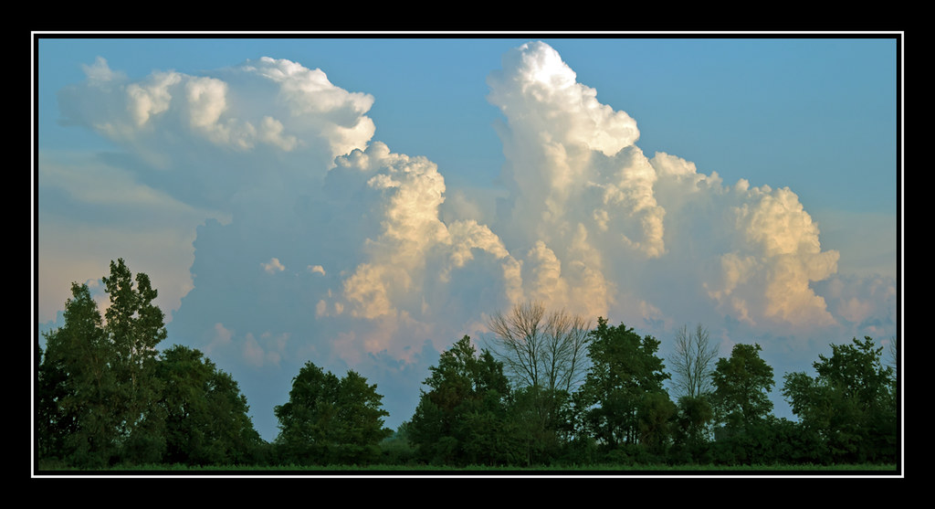
Storm Clouds, St Joe IN
41° 11' 13.2" N 84° 44' 17.9" W0.02014:04:21 15:11:1215:11:12IMG_4169
41° 8' 34.1" N 84° 46' 33.7" W0.02014:04:21 13:50:2913:50:29IMG_4113
41° 9' 14.0" N 84° 46' 27.0" W0.02014:04:21 14:01:0314:01:03IMG_4118
Topographic Map of IN-37, Harlan, IN, USA
Find elevation by address:

Places near IN-37, Harlan, IN, USA:
Springfield Township
Harlan
Bluecast Rd, Woodburn, IN, USA
3rd St, St Joe, IN, USA
Saint Joe
Maumee Township
IN-, St Joe, IN, USA
IN-37, Harlan, IN, USA
Hicksville
Concord Township
Woodburn
Hicksville Township
IN-1, Spencerville, IN, USA
Milan Township
Parent Rd, New Haven, IN, USA
Cedar Creek Township
Hicksville, OH, USA
OH-49, Hicksville, OH, USA
Stafford Township
Leo
Recent Searches:
- Elevation of 72-31 Metropolitan Ave, Middle Village, NY, USA
- Elevation of 76 Metropolitan Ave, Brooklyn, NY, USA
- Elevation of Alisal Rd, Solvang, CA, USA
- Elevation of Vista Blvd, Sparks, NV, USA
- Elevation of 15th Ave SE, St. Petersburg, FL, USA
- Elevation of Beall Road, Beall Rd, Florida, USA
- Elevation of Leguwa, Nepal
- Elevation of County Rd, Enterprise, AL, USA
- Elevation of Kolchuginsky District, Vladimir Oblast, Russia
- Elevation of Shustino, Vladimir Oblast, Russia