Elevation of Hicksville Township, OH, USA
Location: United States > Ohio > Defiance County >
Longitude: -84.752448
Latitude: 41.301876
Elevation: 232m / 761feet
Barometric Pressure: 99KPa
Elevation Map:
Satellite Map:
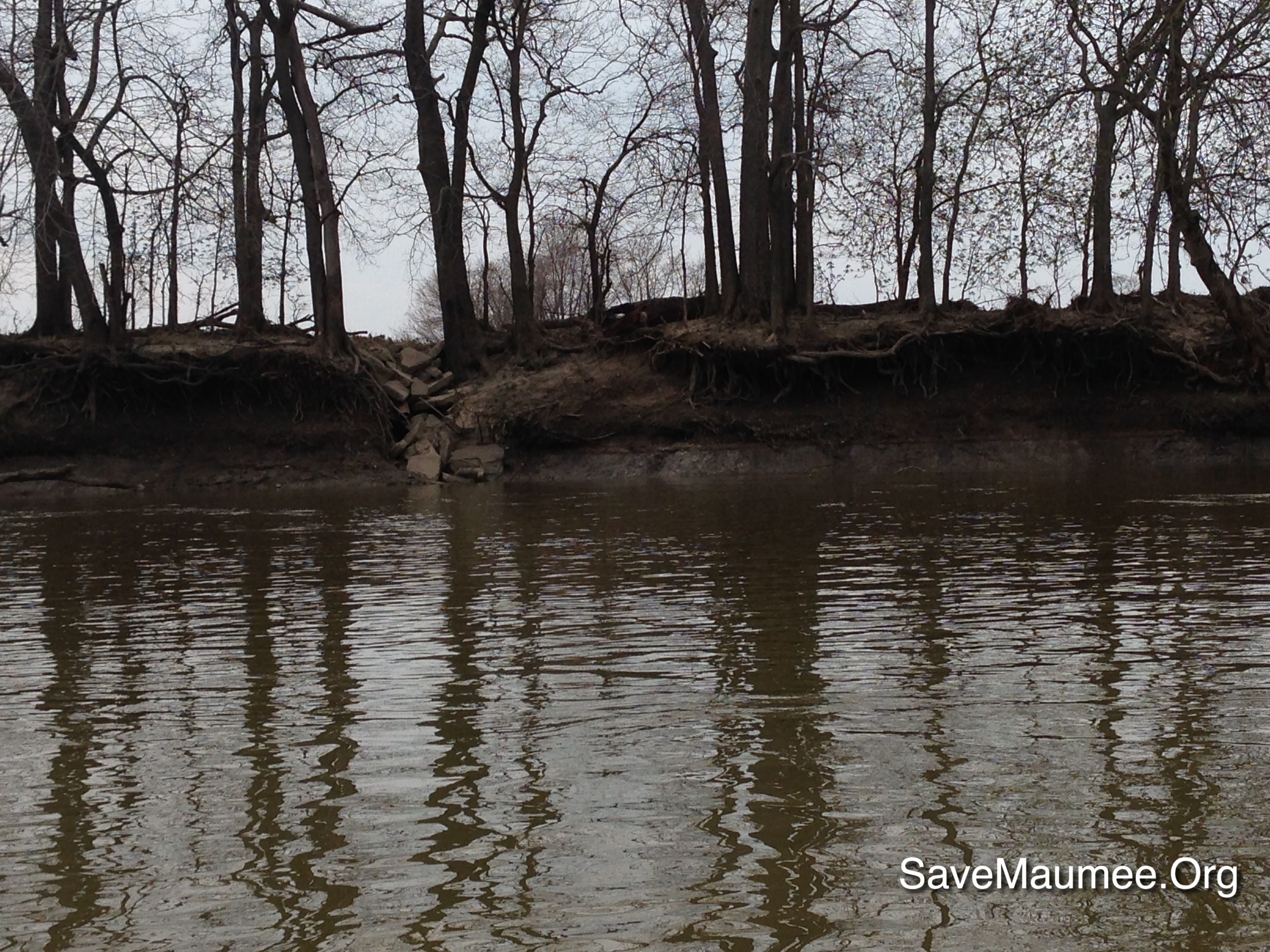
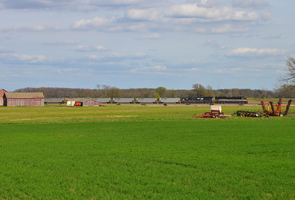
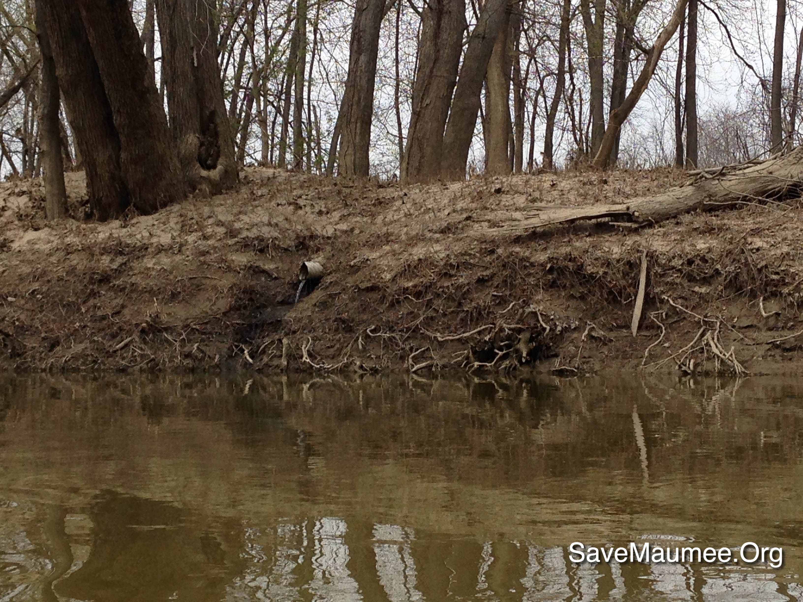
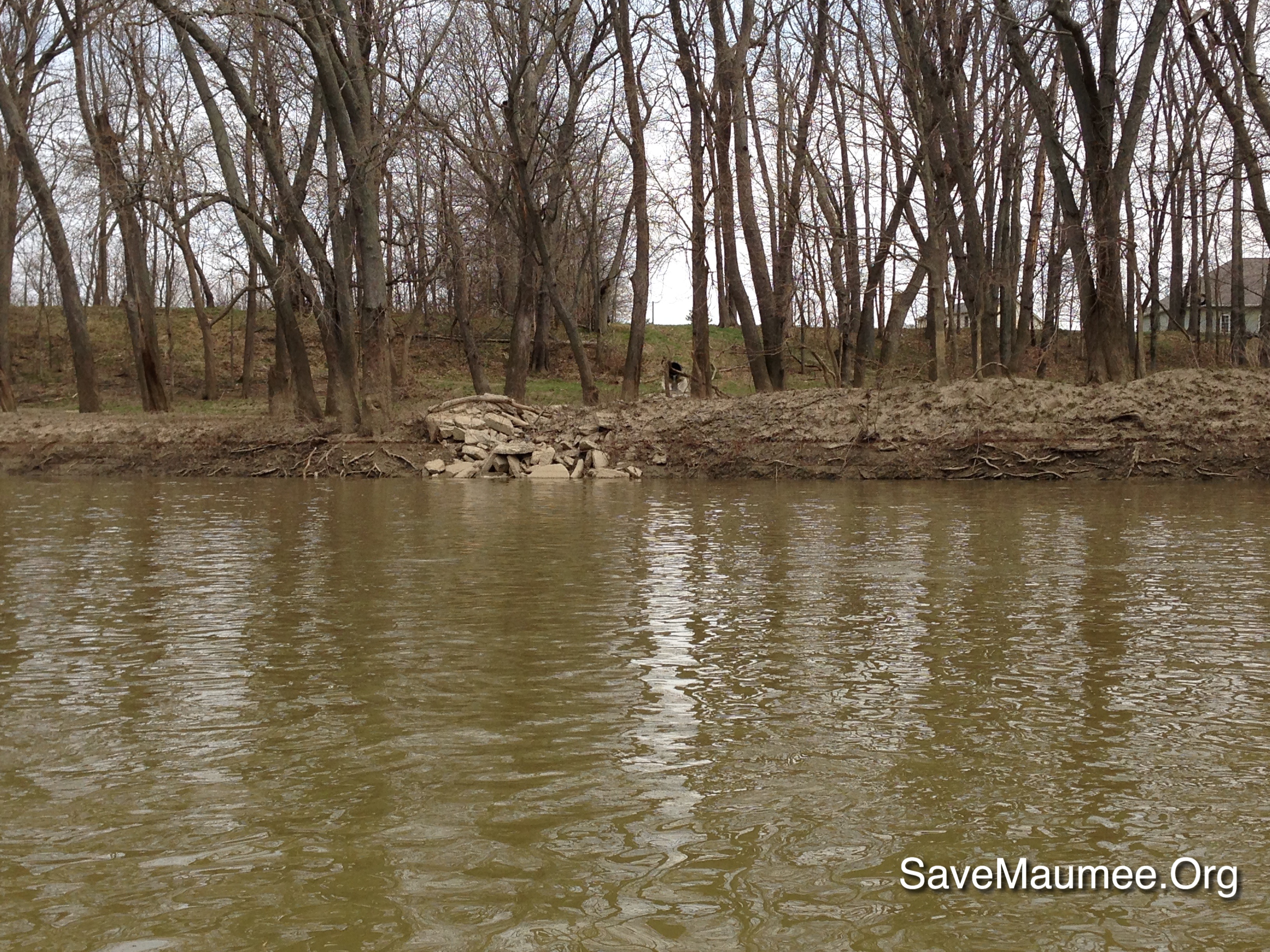
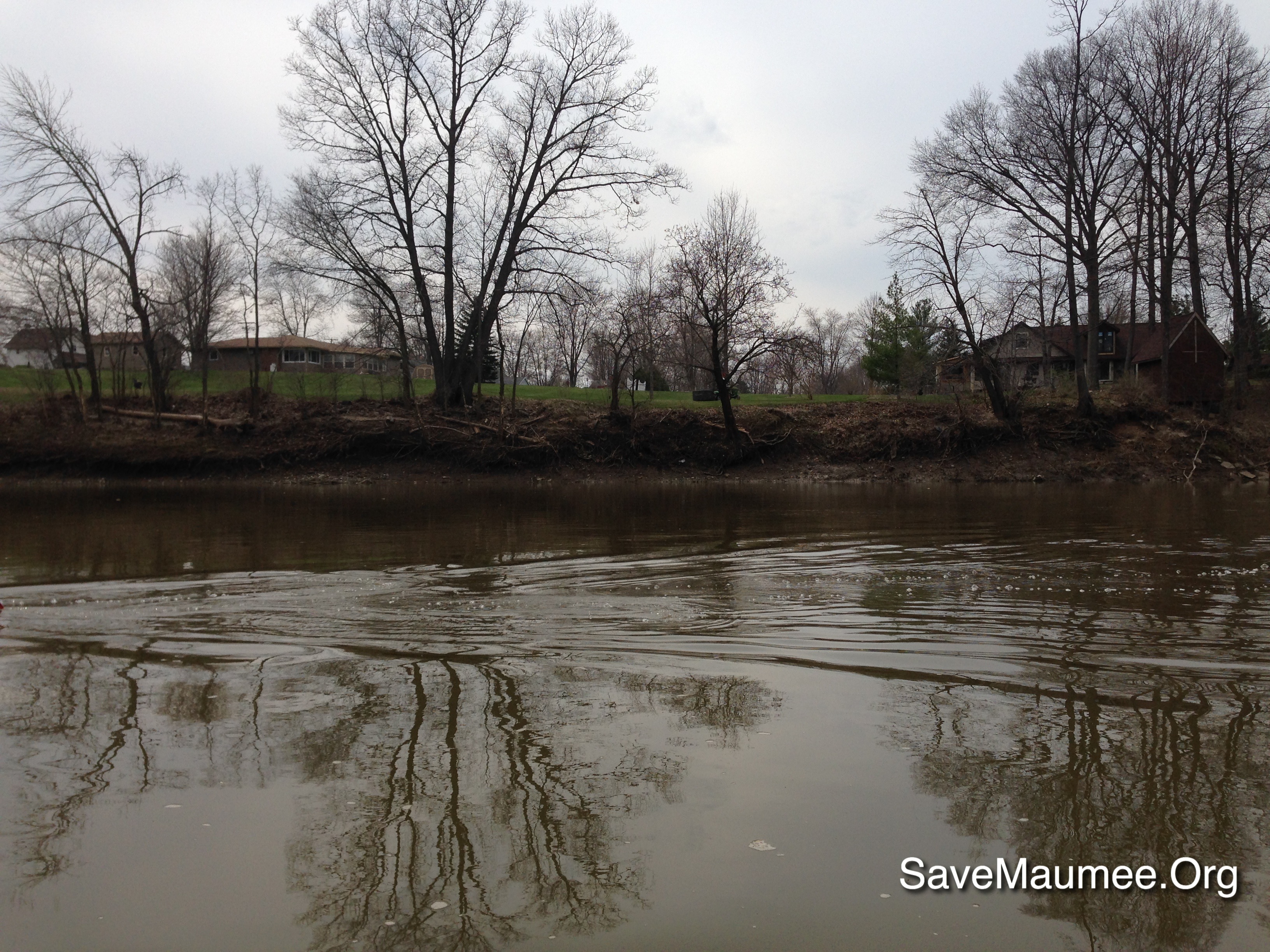
Related Photos:
CSX Q209. June 5, 2014
Milwuakee #261 Indo
A view of the arctic campsite from within team Nate and James' igloo!
New York Central State Line Marker
Not Quite Savannah...
41° 11' 15.8" N 84° 45' 4.4" W0.02014:04:21 14:37:4214:37:42IMG_4137
41° 11' 19.6" N 84° 44' 26.5" W0.02014:04:21 15:08:2915:08:29IMG_4165

A better shot of the Earth umbra rising over the Ohio clouds at sunset.

Wetlands, St Joe IN
41° 11' 50.8" N 84° 44' 19.8" W0.02014:04:21 14:58:0414:58:04IMG_4153

simply wheat
41° 11' 4.7" N 84° 45' 6.1" W0.02014:04:21 14:34:4614:34:46IMG_4136
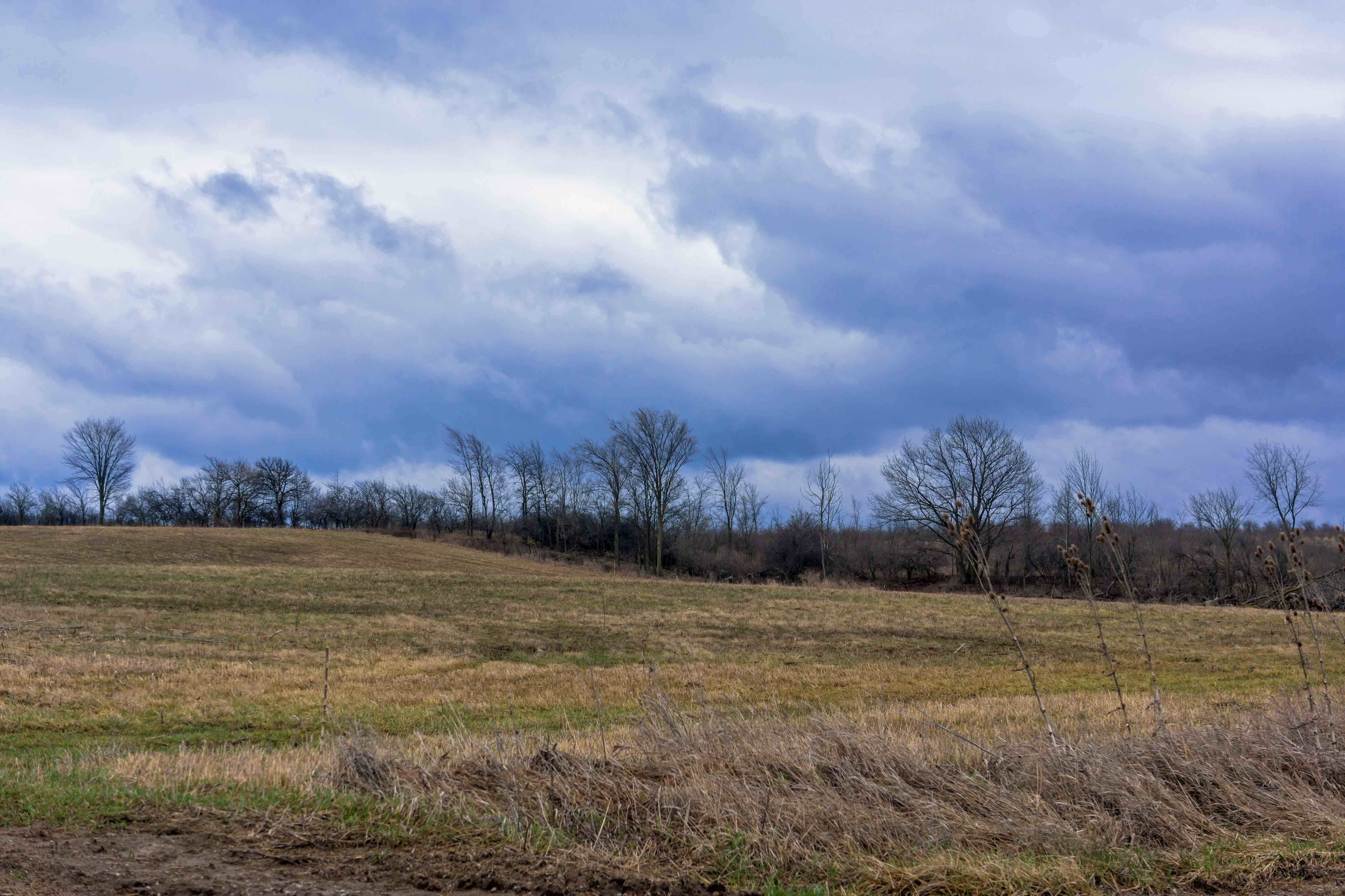
Storm Clouds, St Joe IN
41° 11' 13.2" N 84° 44' 17.9" W0.02014:04:21 15:11:1215:11:12IMG_4169
...Or Atlanta!
41° 11' 12.9" N 84° 44' 16.7" W0.02014:04:21 15:11:2615:11:26IMG_4173
41° 11' 20.9" N 84° 45' 2.3" W0.02014:04:21 14:39:1614:39:16IMG_4140

Fields of Western Ohio, Part II

41° 11' 13.3" N 84° 44' 17.2" W0.02014:04:21 15:11:1515:11:15IMG_4170

September in the Heartland
41° 11' 16.9" N 84° 44' 23.8" W0.02014:04:21 15:09:3315:09:33IMG_4166
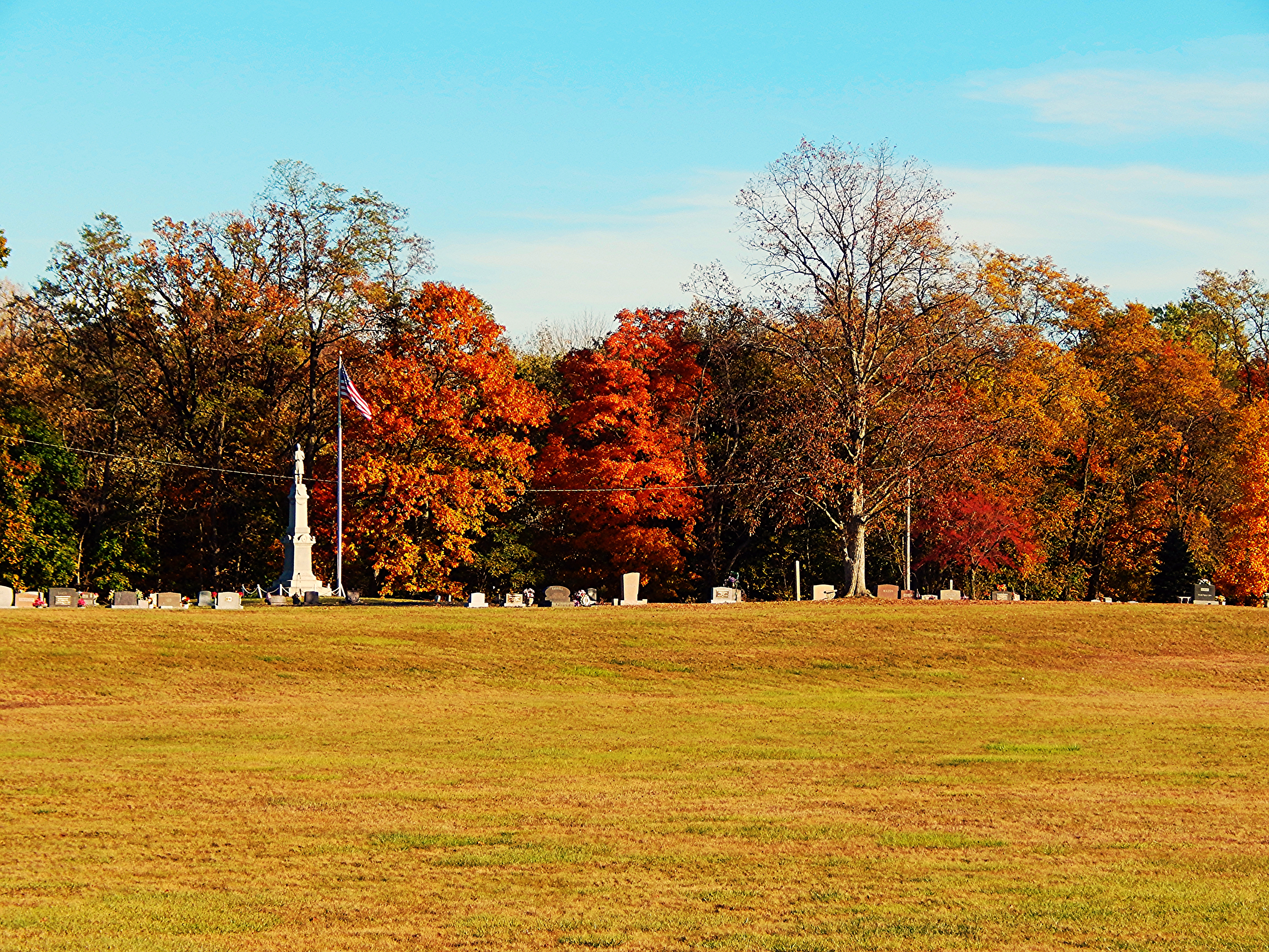
Cemetery at St. Joe Indiana
41° 11' 16.9" N 84° 44' 23.4" W0.02014:04:21 15:09:3715:09:37IMG_4167
41° 12' 12.6" N 84° 44' 19.6" W0.02014:04:21 14:52:5814:52:58IMG_4149
41° 11' 37.5" N 84° 44' 16.7" W0.02014:04:21 15:04:3615:04:36IMG_4164
Topographic Map of Hicksville Township, OH, USA
Find elevation by address:

Places in Hicksville Township, OH, USA:
Places near Hicksville Township, OH, USA:
Hicksville
Hicksville, OH, USA
OH-2, Hicksville, OH, USA
7920 Cicero Rd
OH-49, Hicksville, OH, USA
Milford Township
IN-37, Harlan, IN, USA
Stafford Township
IN-, St Joe, IN, USA
Co Rd 75, Butler, IN, USA
Edgerton
3rd St, St Joe, IN, USA
Saint Joe
6 Rd, Edgerton, OH, USA
St. Joseph Township
Concord Township
Cecil
Butler
Maumee Township
1 Rd, Edgerton, OH, USA
Recent Searches:
- Elevation of Zimmer Trail, Pennsylvania, USA
- Elevation of 87 Kilmartin Ave, Bristol, CT, USA
- Elevation of Honghe National Nature Reserve, QP95+PJP, Tongjiang, Heilongjiang, Jiamusi, Heilongjiang, China
- Elevation of Hercules Dr, Colorado Springs, CO, USA
- Elevation of Szlak pieszy czarny, Poland
- Elevation of Griffing Blvd, Biscayne Park, FL, USA
- Elevation of Kreuzburger Weg 13, Düsseldorf, Germany
- Elevation of Gateway Blvd SE, Canton, OH, USA
- Elevation of East W.T. Harris Boulevard, E W.T. Harris Blvd, Charlotte, NC, USA
- Elevation of West Sugar Creek, Charlotte, NC, USA