Elevation of IN-26, Frankfort, IN, USA
Location: United States > Indiana > Clinton County > Warren Township >
Longitude: -86.389667
Latitude: 40.415405
Elevation: 252m / 827feet
Barometric Pressure: 98KPa
Elevation Map:
Satellite Map:
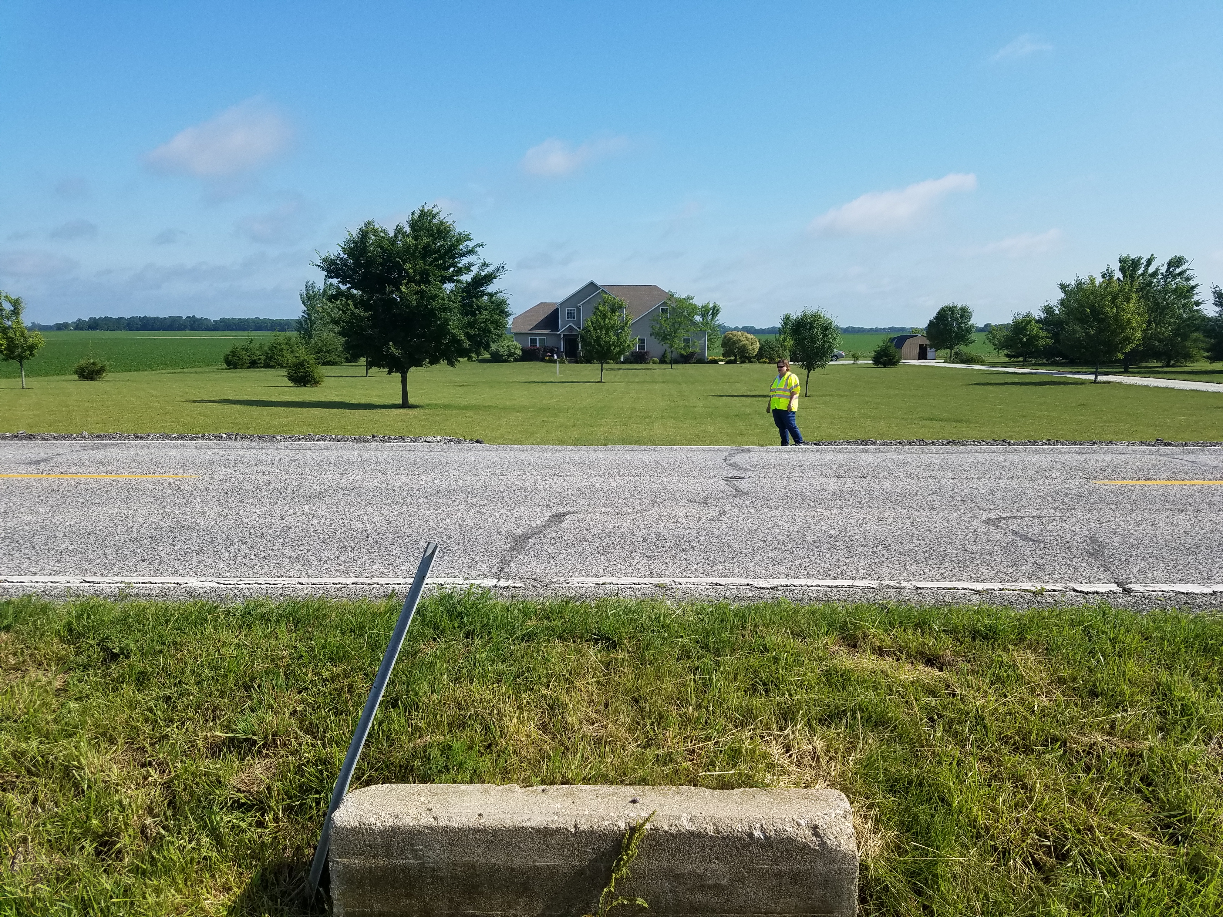
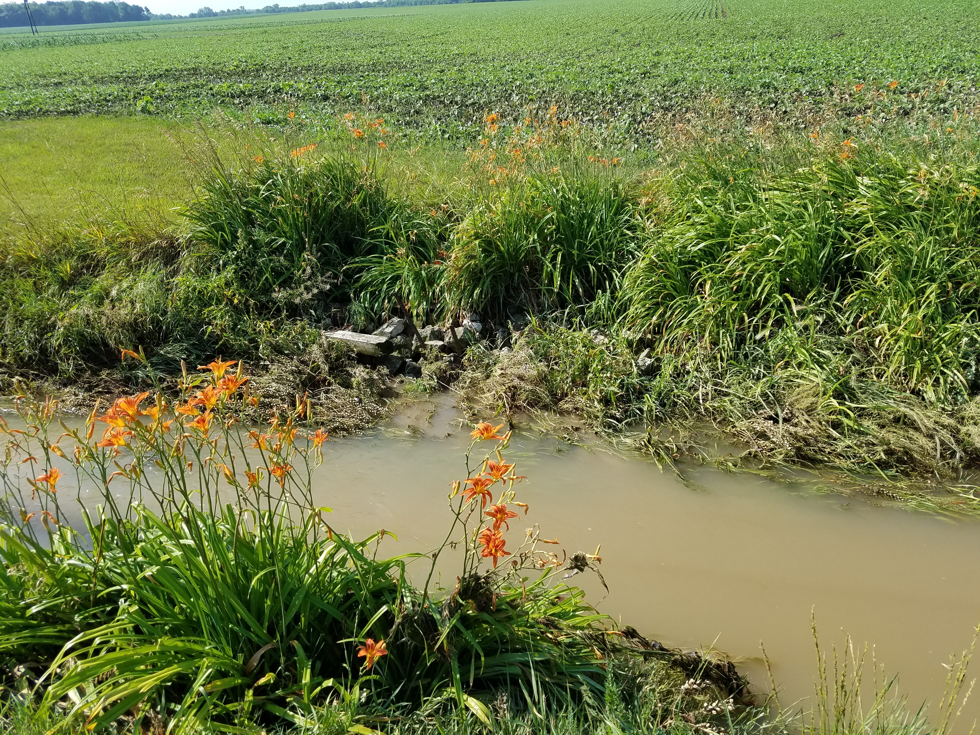
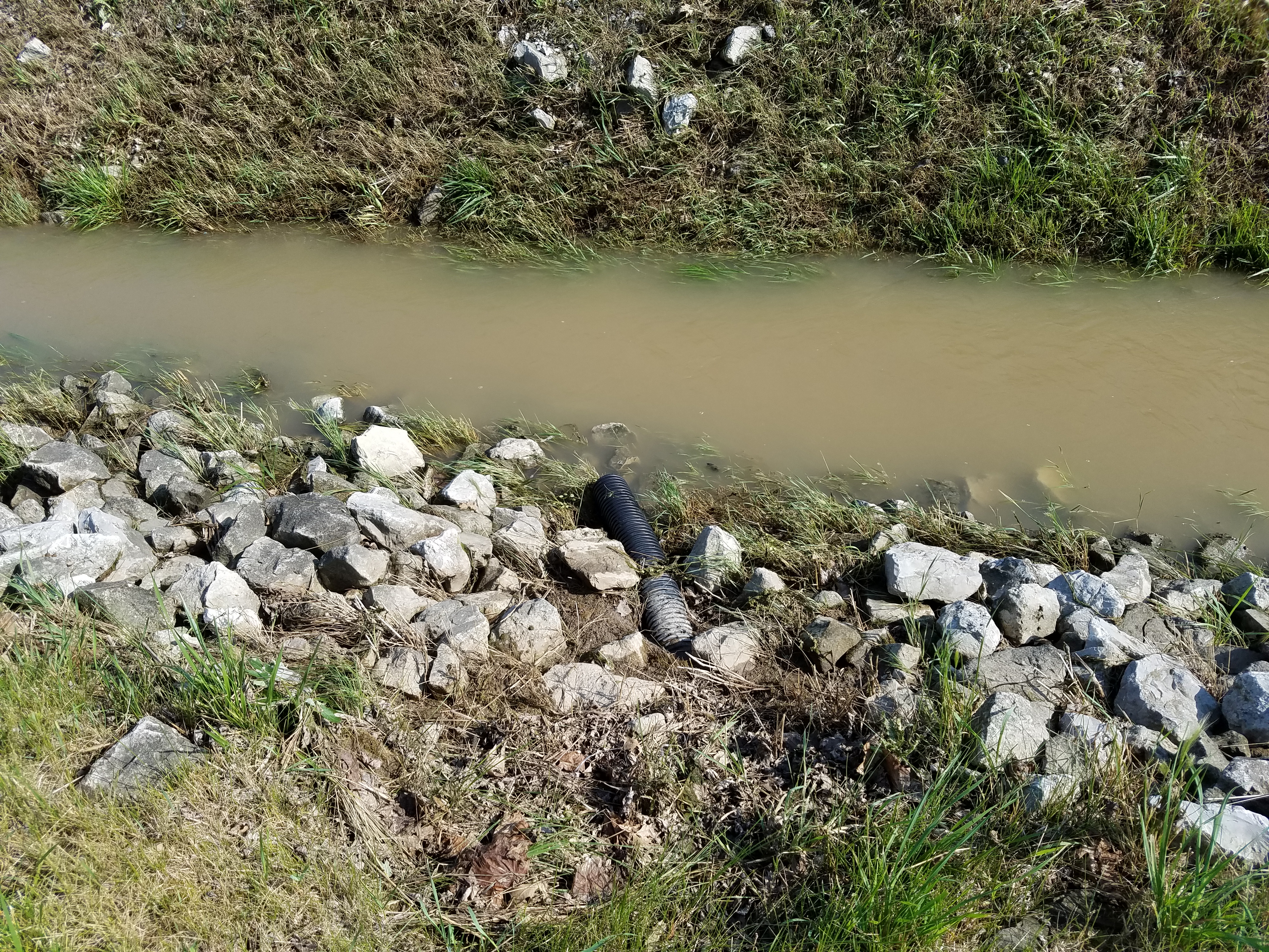
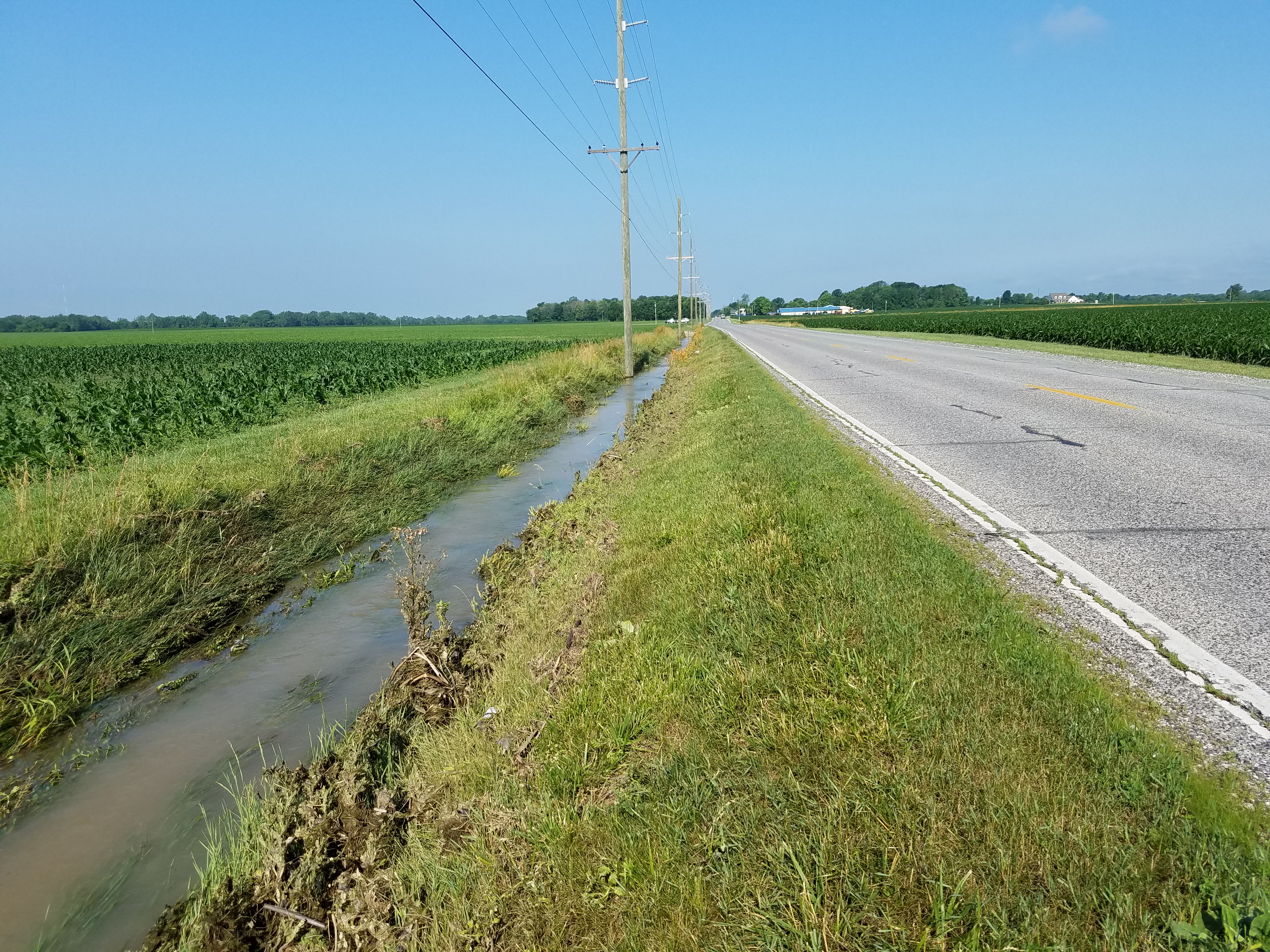
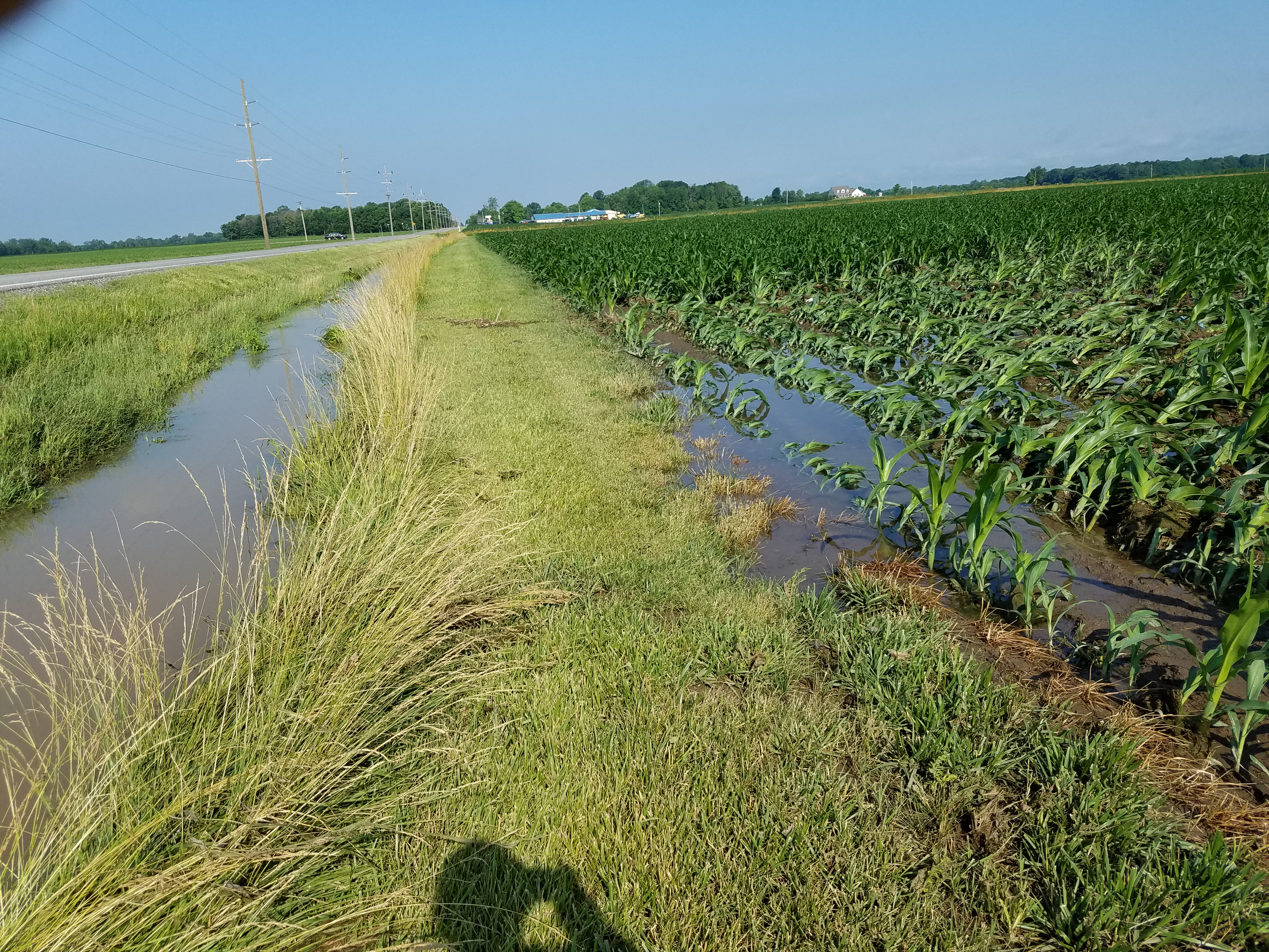
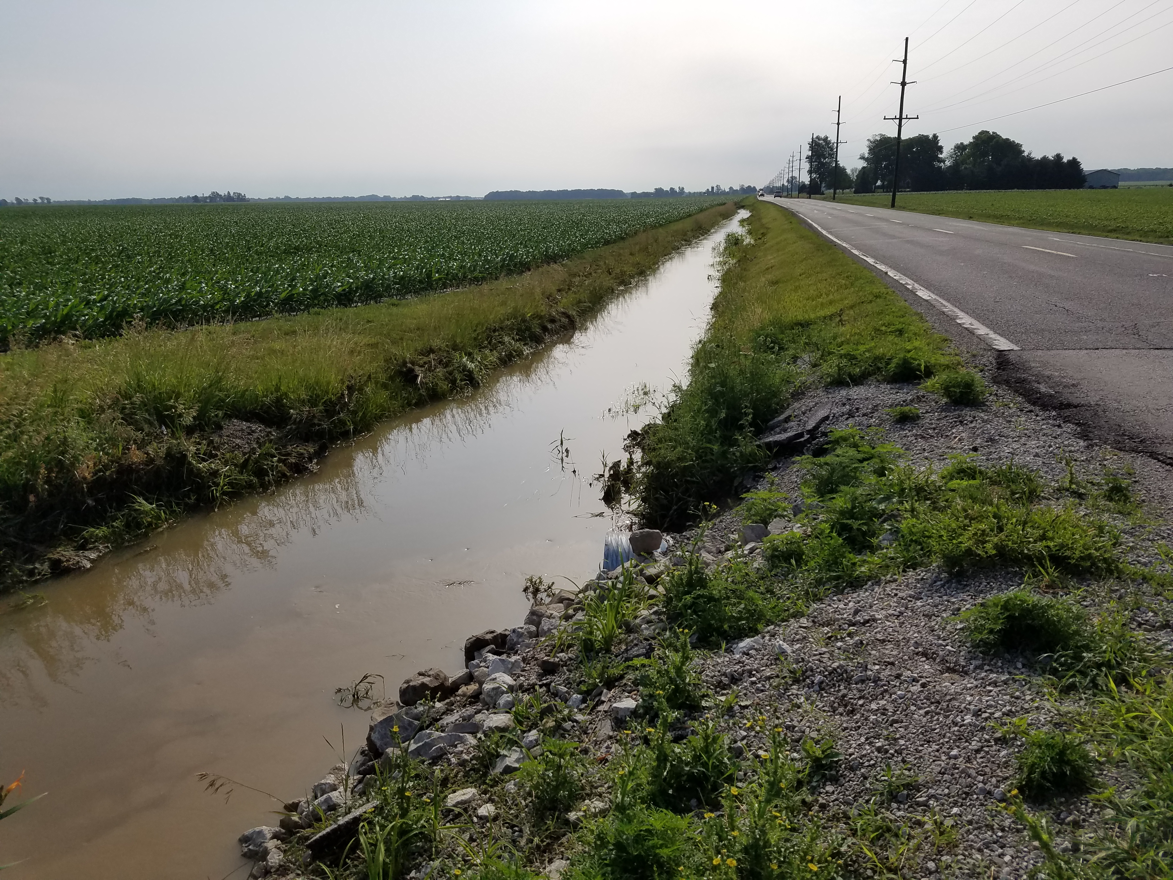
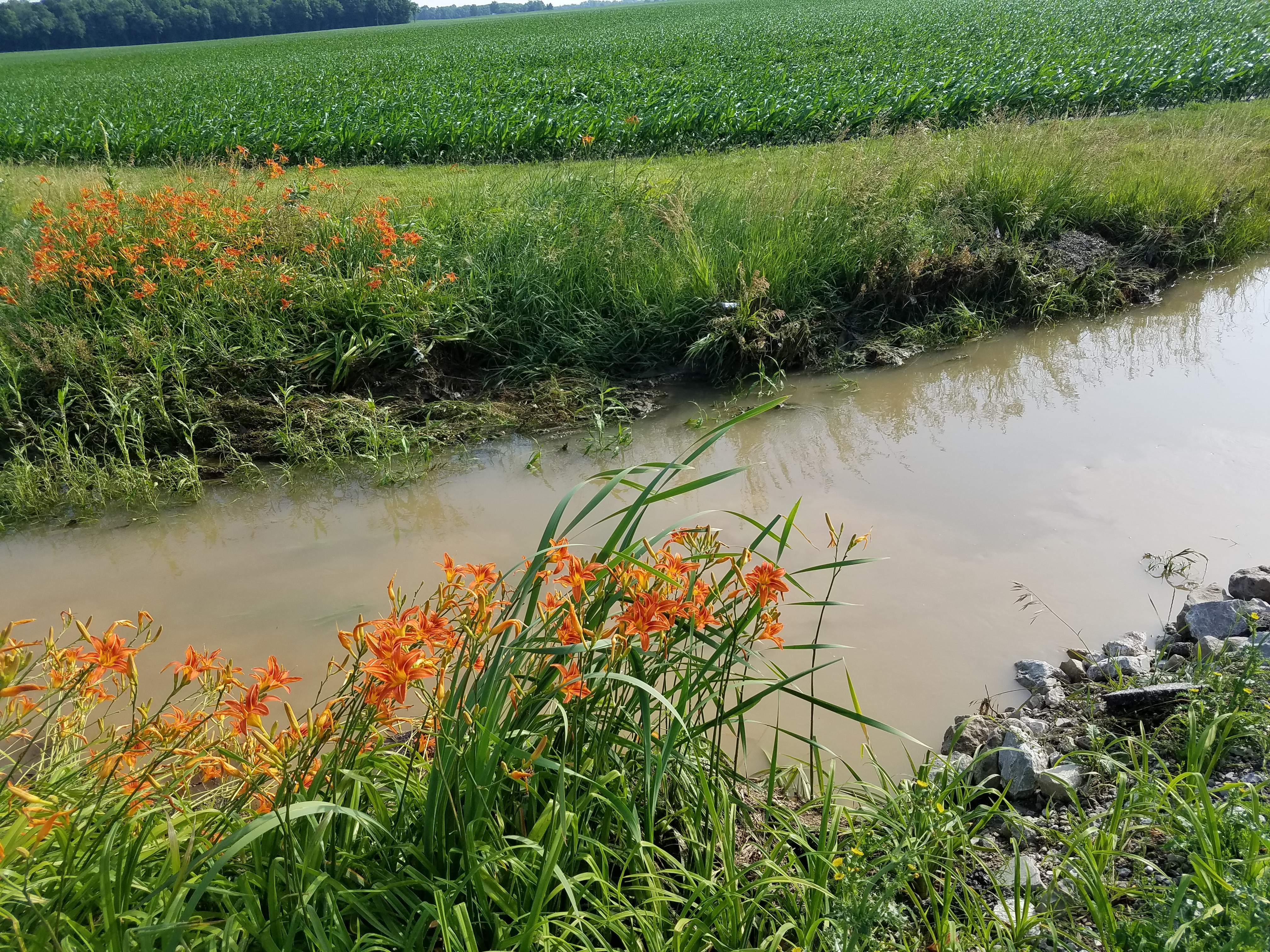
Related Photos:

long lost
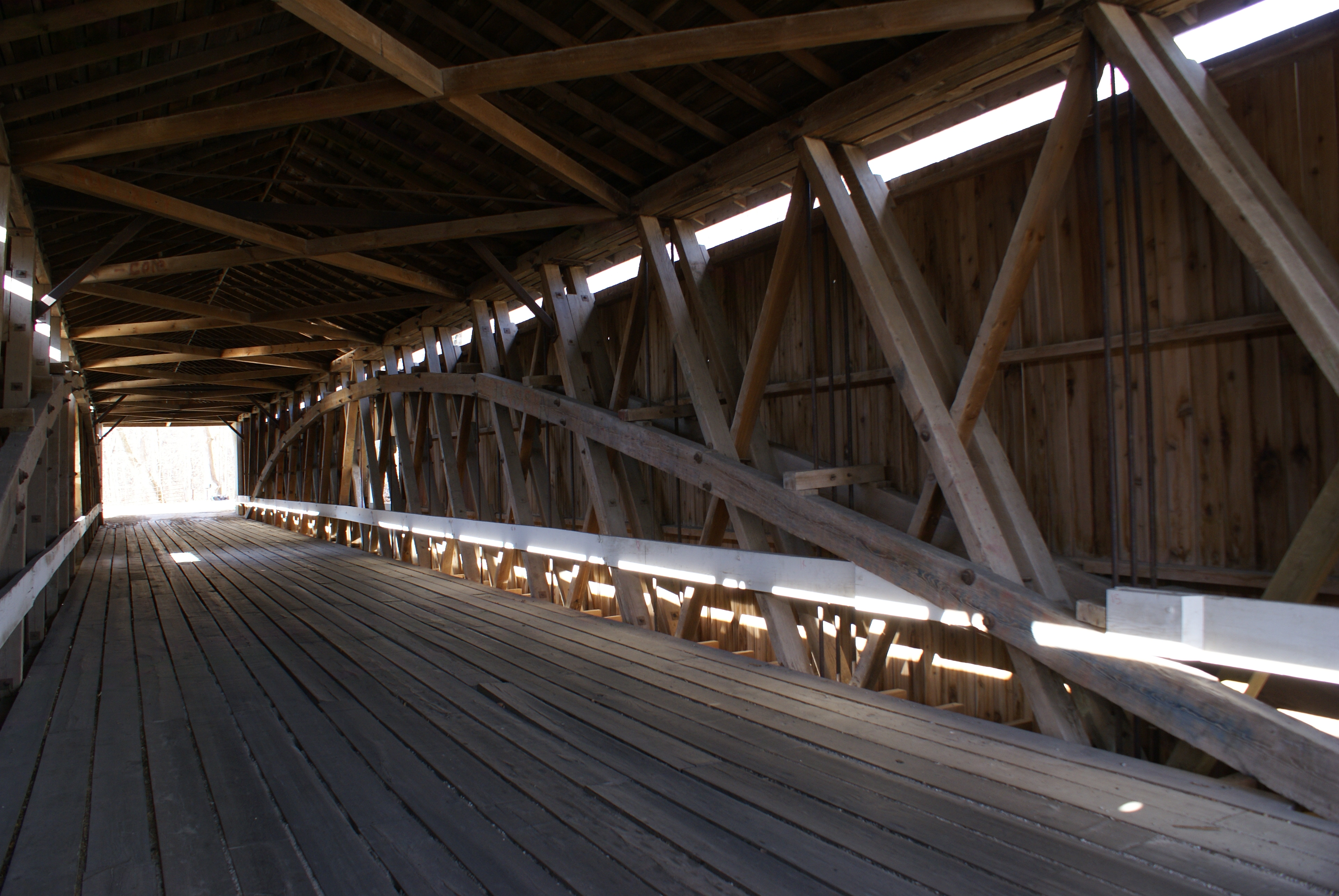
Adams Mill Covered Bridge

the view downstream
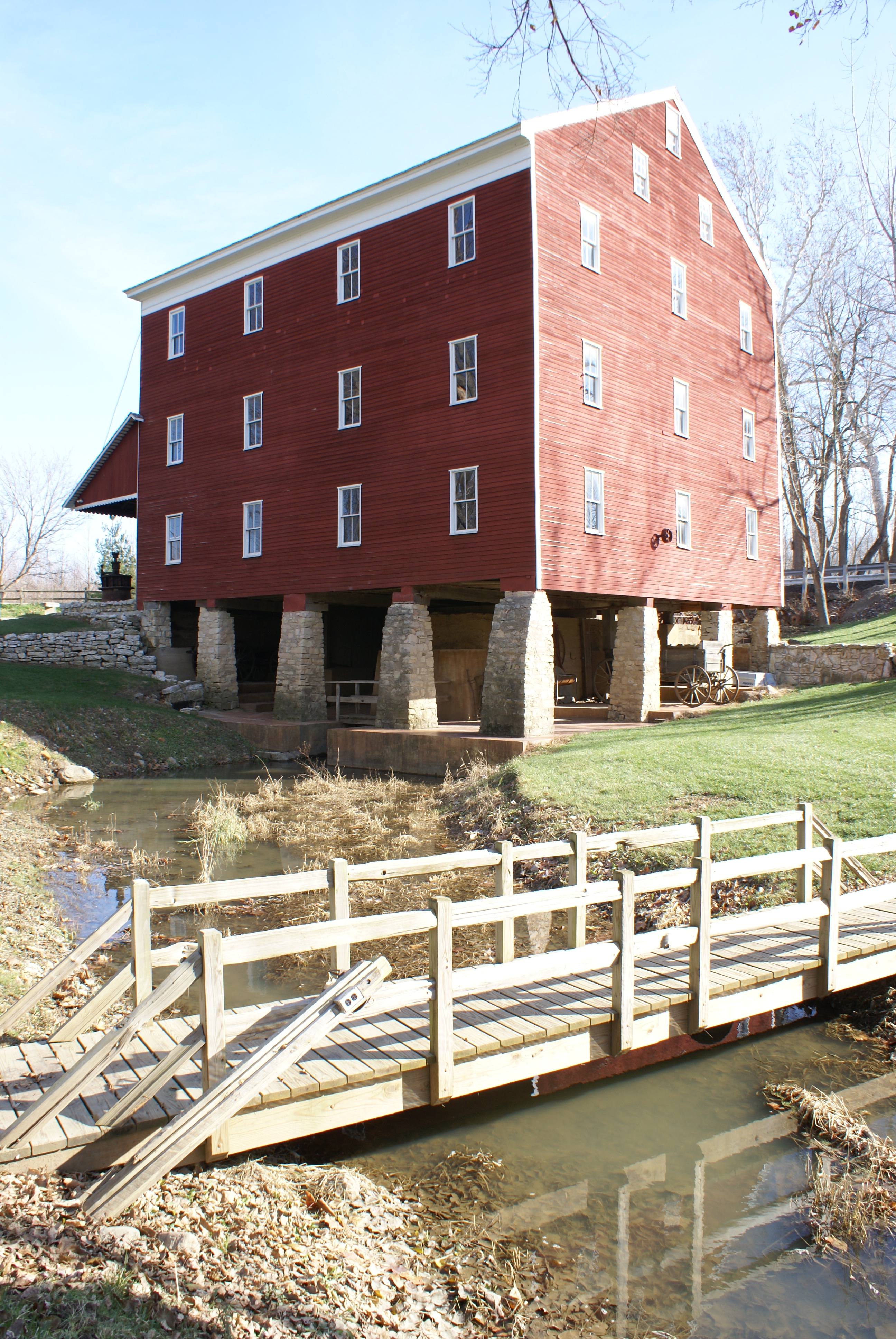
Adams Mill

My Indiana View

creekside memorial closeup

Creekside memorial

wildcat river way

Sunset in pink and purple
wooded roadway

at Glenndale Airport
Such a beautiful day!

Indiana Sunset

a perfect couple

Adams mill facilities
CJ 20160623_101459
CJ 20160623_100414
CJ 20160623_095234
CJ 20160623_094900
CJ 20160623_094133
CJ 20160623_093247
CJ 20160623_093244
Topographic Map of IN-26, Frankfort, IN, USA
Find elevation by address:

Places near IN-26, Frankfort, IN, USA:
Warren Township
W S, Russiaville, IN, USA
Forest
N County Rd E, Forest, IN, USA
8866 N Co Rd 200 E
8866 N Co Rd 200 E
Monroe Township
Michigantown
Forest Township
Michigan Township
N Union St, Russiaville, IN, USA
County Rd W N, Kokomo, IN, USA
Ervin Township
Washington St, Frankfort, IN, USA
Johnson Township
19 IN-29, Michigantown, IN, USA
Owen Township
N Co Rd 0 Ew, Frankfort, IN, USA
Clinton County
Washington Ave, Frankfort, IN, USA
Recent Searches:
- Elevation of Bydgoszcz, Poland
- Elevation of Bydgoszcz, Poland
- Elevation of Calais Dr, Del Mar, CA, USA
- Elevation of Placer Mine Ln, West Jordan, UT, USA
- Elevation of E 63rd St, New York, NY, USA
- Elevation of Elk City, OK, USA
- Elevation of Erika Dr, Windsor, CA, USA
- Elevation of Village Ln, Finleyville, PA, USA
- Elevation of 24 Oakland Rd #, Scotland, ON N0E 1R0, Canada
- Elevation of Deep Gap Farm Rd E, Mill Spring, NC, USA