Elevation of IL-26, Magnolia, IL, USA
Location: United States > Illinois > Putnam County > Magnolia Township > Magnolia >
Longitude: -89.323587
Latitude: 41.1132335
Elevation: 163m / 535feet
Barometric Pressure: 99KPa
Elevation Map:
Satellite Map:
Related Photos:

The Creeping Oliver

Tower view Dixon Bioblitz 080318-3

Tower view Dixon Bioblitz 080318

Tower view Dixon Bioblitz 080318-2

Barred Owl

CRI&P Depot Sparland, Illinois

Turn for Clearer View

Superstar at Henry

CRI&P Depot Henry, Illinois

Miss Doris ~ The Tugboat

NS 1065 Marshall
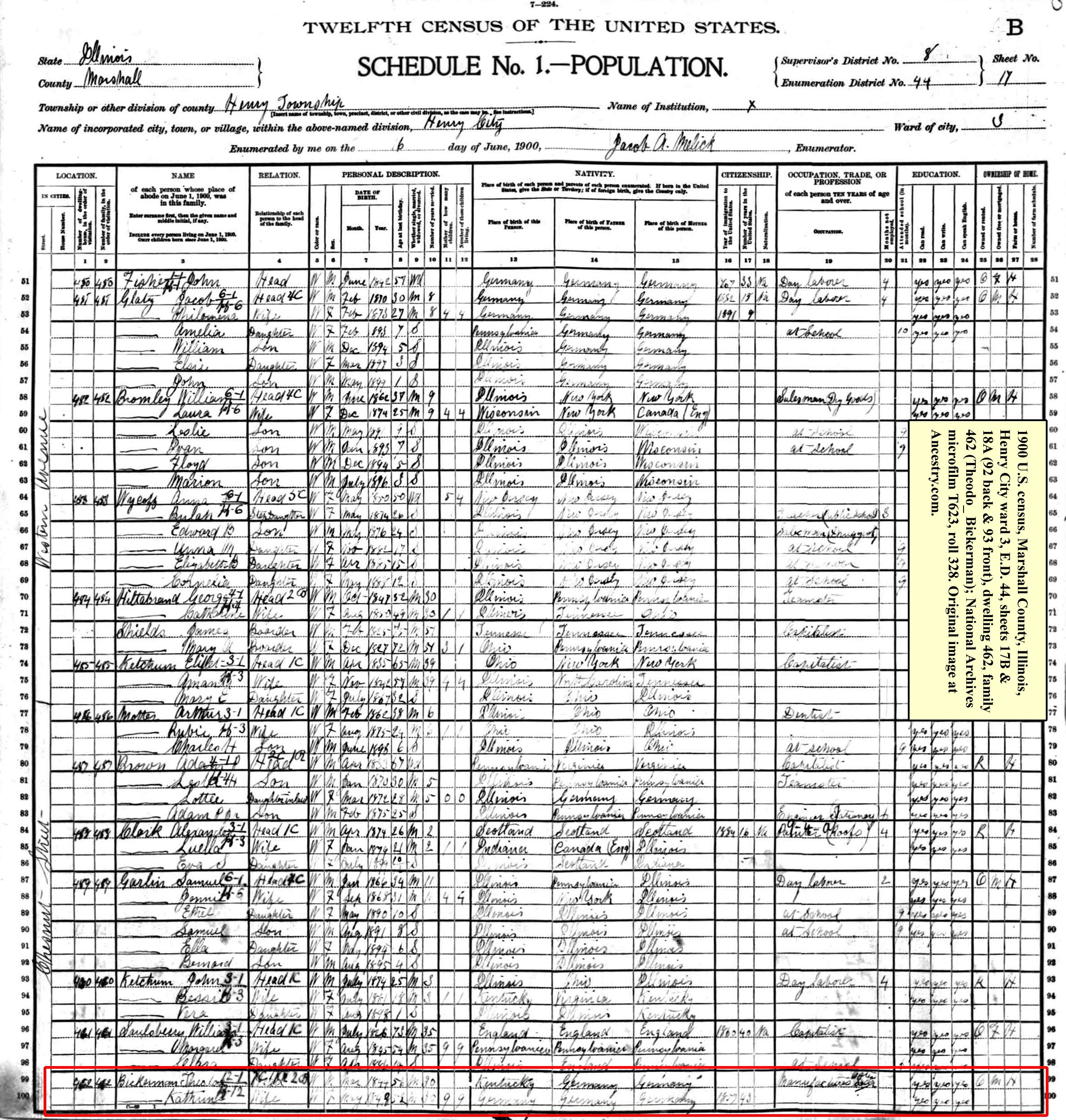
1900 census - Theodore Bickerman (1st page)

172-American White Pelicans Hennepin Hopper Putnam County IL April 2012 Jeff Skrentny FB0424 IMG_0980

172-American White Pelicans Hennepin Hopper Putnam County IL April 2012 Jeff Skrentny FB0424 IMG_0980

Wightman Lake

Henry Harbor

Gas Light in Phoenix Park

The Long Road Ahead {1/365}

I needed today. (58/365)

Sage Thrasher 122614 L

Former Shell station (Sparland, IL, 2015)

Day 39

The Vespa in HDR
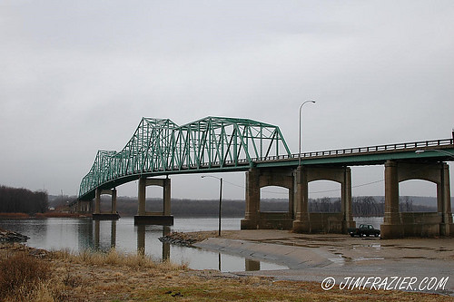
Lacon Bridge

ISU Flyover - 23

Frosty Morning
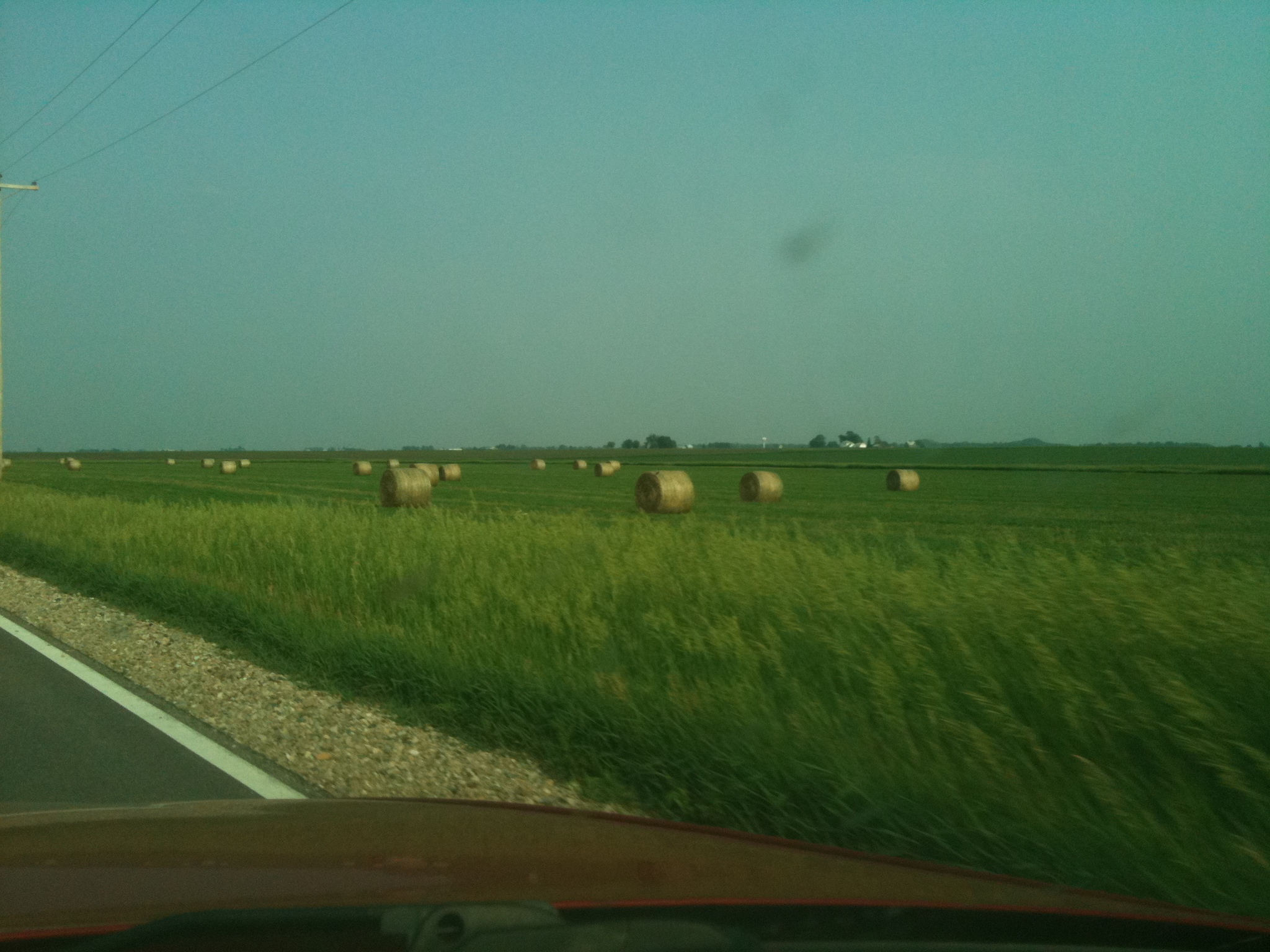
hay!

At the Henry Dam

Distant storm clouds

American White Pelicans

IMG_9596.100802

2018-07-27 Marshall Wildlife Area

IMG_0867.JPG

pcca underwater

Route 29 with I80 Illinois
Topographic Map of IL-26, Magnolia, IL, USA
Find elevation by address:

Places near IL-26, Magnolia, IL, USA:
Magnolia Township
Center St, Putnam, IL, USA
Putnam
Hennepin Township
Roberts Township
Senachwine Township
Marshall County
Florid
Varna
Main St, Varna, IL, USA
Lacon
Magnolia
Main St, McNabb, IL, USA
Mcnabb
Putnam County
Richland Township
Hennepin
4th St, Hennepin, IL, USA
Sparland
La Rose
Recent Searches:
- Elevation of N, Mt Pleasant, UT, USA
- Elevation of 6 Rue Jules Ferry, Beausoleil, France
- Elevation of Sattva Horizon, 4JC6+G9P, Vinayak Nagar, Kattigenahalli, Bengaluru, Karnataka, India
- Elevation of Great Brook Sports, Gold Star Hwy, Groton, CT, USA
- Elevation of 10 Mountain Laurels Dr, Nashua, NH, USA
- Elevation of 16 Gilboa Ln, Nashua, NH, USA
- Elevation of Laurel Rd, Townsend, TN, USA
- Elevation of 3 Nestling Wood Dr, Long Valley, NJ, USA
- Elevation of Ilungu, Tanzania
- Elevation of Yellow Springs Road, Yellow Springs Rd, Chester Springs, PA, USA