Elevation of Hennepin Township, IL, USA
Location: United States > Illinois > Putnam County >
Longitude: -89.303714
Latitude: 41.218494
Elevation: 198m / 650feet
Barometric Pressure: 99KPa
Elevation Map:
Satellite Map:
Related Photos:

B&O GP30 6932 Bureau, IL
Superstar at Henry

Miss Doris ~ The Tugboat

1900 census - Theodore Bickerman (1st page)
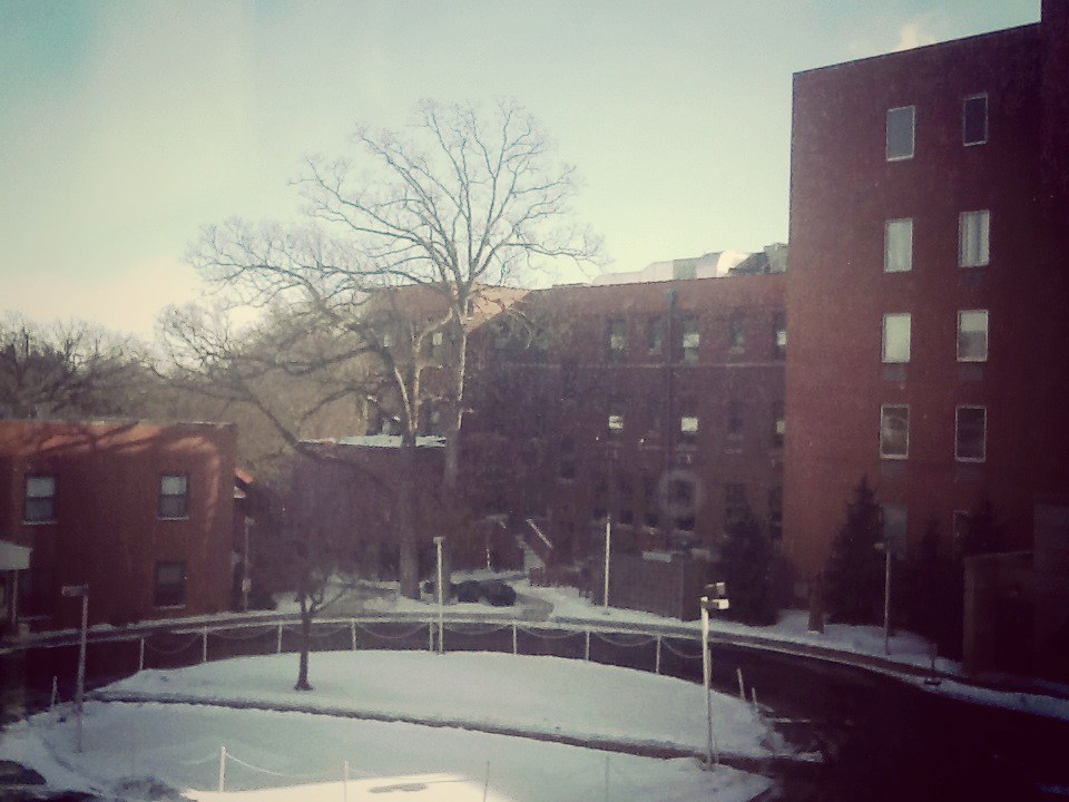
Hospital Room Window View
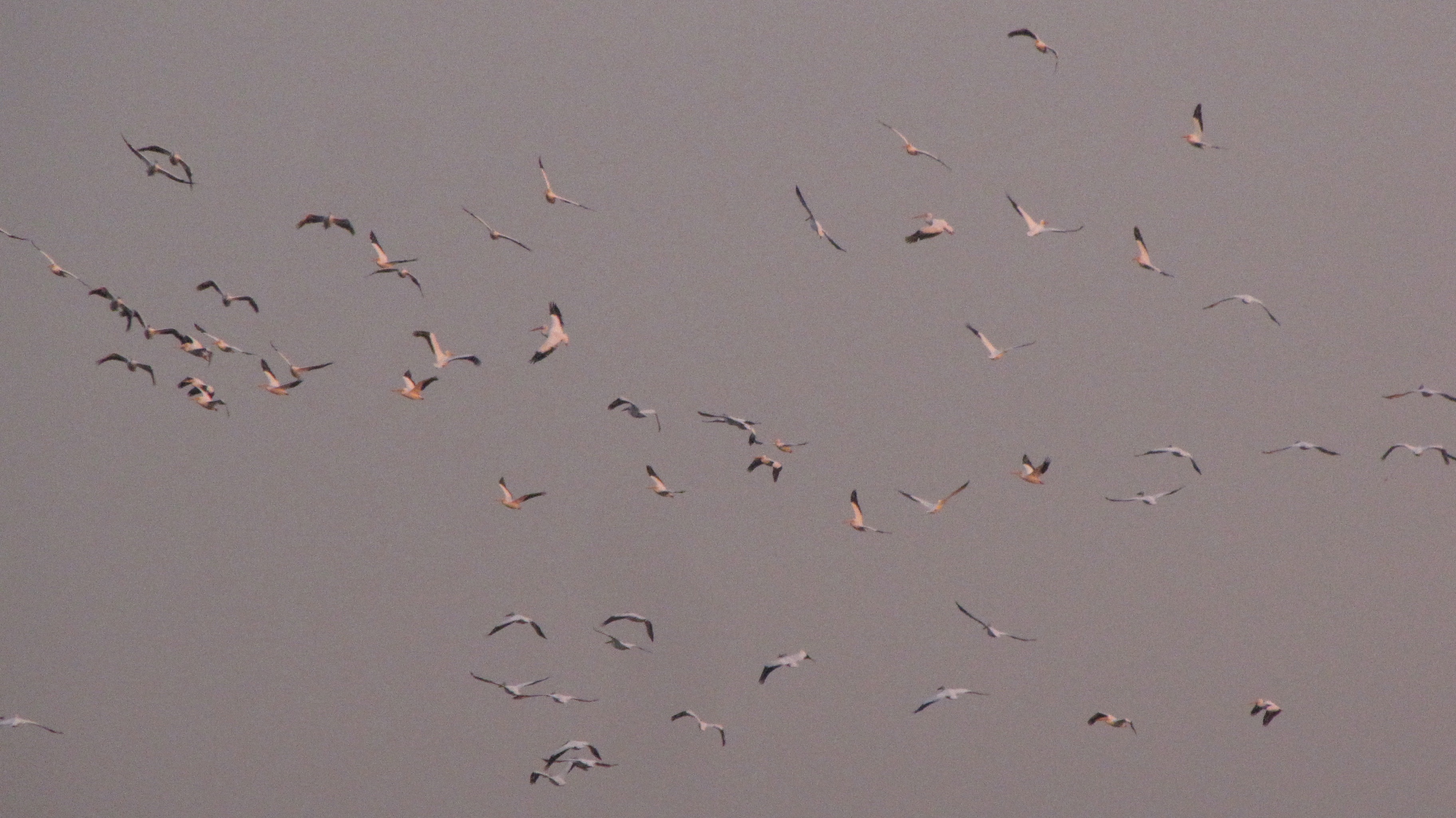
172-American White Pelicans Hennepin Hopper Putnam County IL April 2012 Jeff Skrentny FB0424 IMG_0980
Illinois, Spring Valley, "Why Not Now?, " Gold Medal Flour (15,736)

172-American White Pelicans Hennepin Hopper Putnam County IL April 2012 Jeff Skrentny FB0424 IMG_0980
Gas Light in Phoenix Park
Lock 3 Hennepin Canal
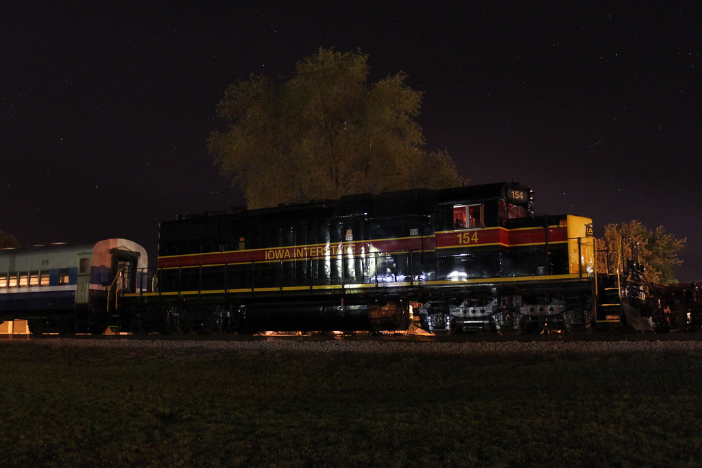
IAIS 515 Bureau Jct Field IL 6/27/15

In Honor of Monet 05302015

Sage Thrasher 122614 L
Day 39
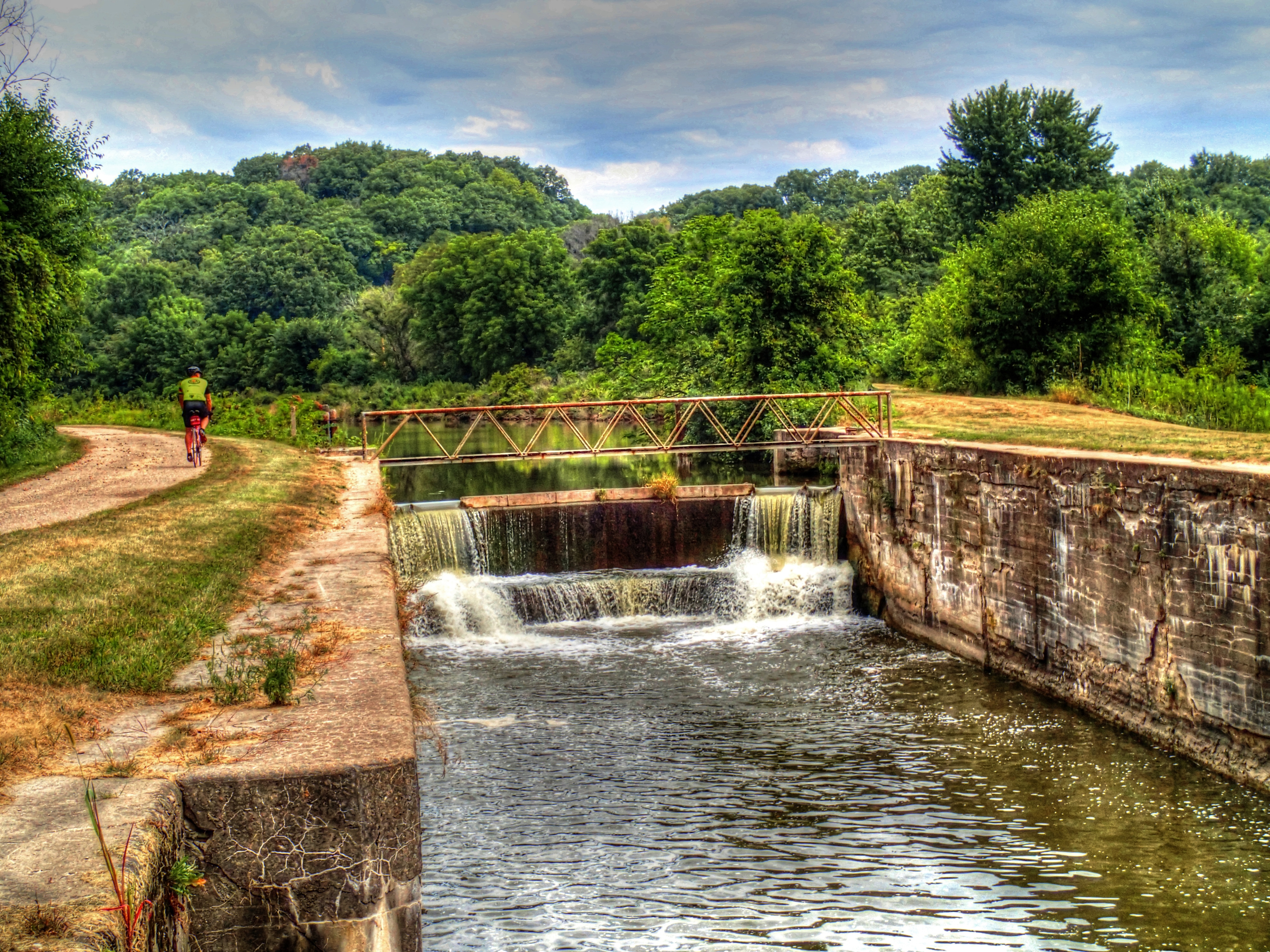
Hennepin Trail Lock
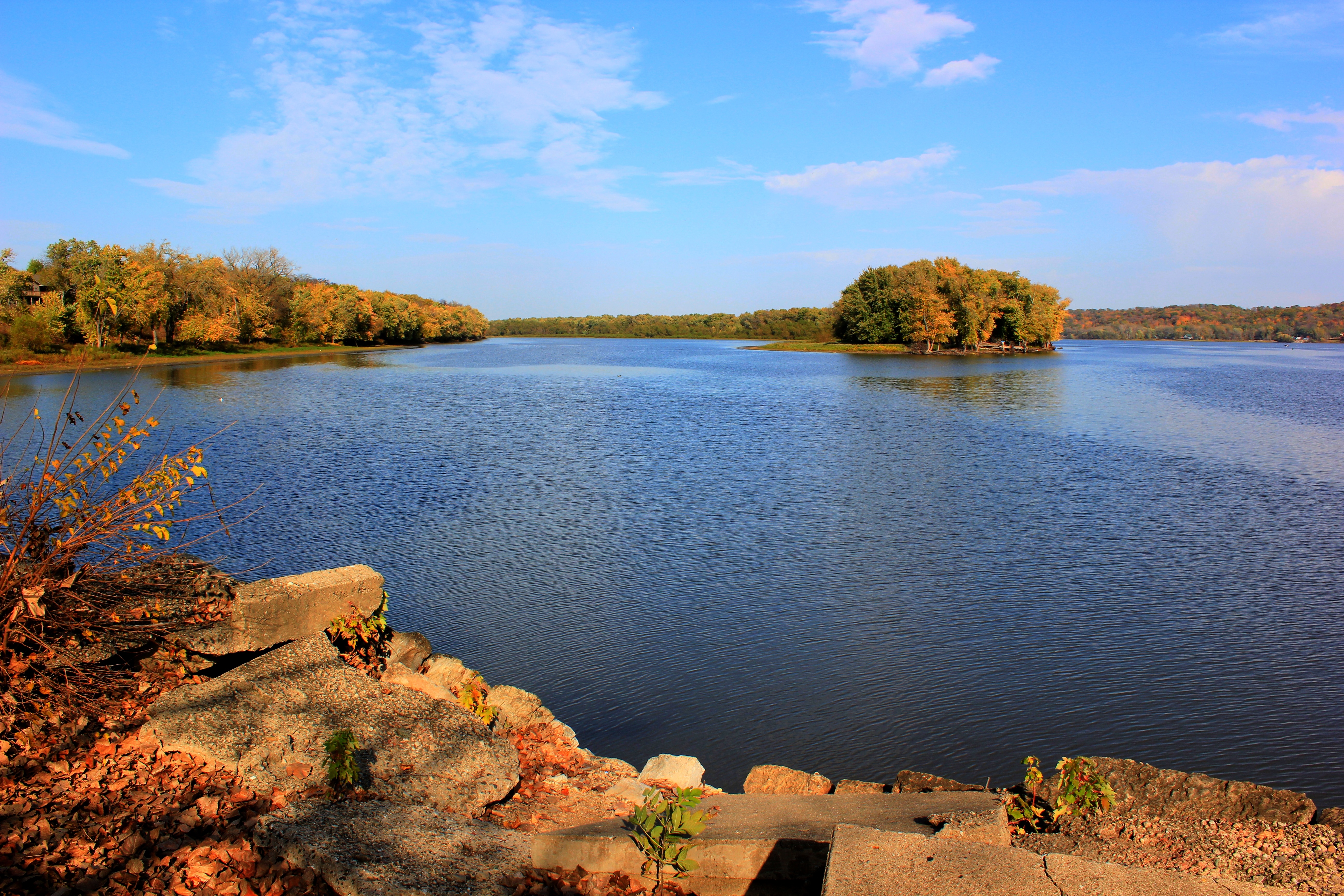
At the Henry Dam
20130421 05 Spring Valley, Illinois
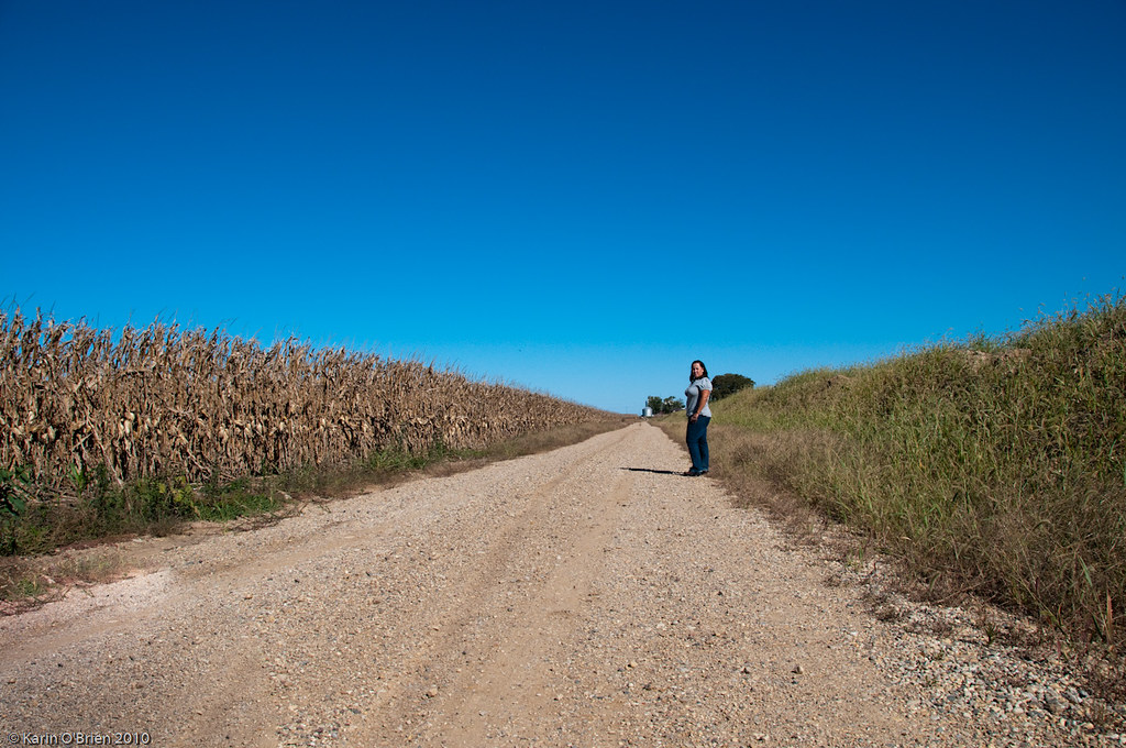
The Long Road Ahead {1/365}
Route 29 with I80 Illinois

Year #5 same

IMG_9479.100731
0605_0440 copy
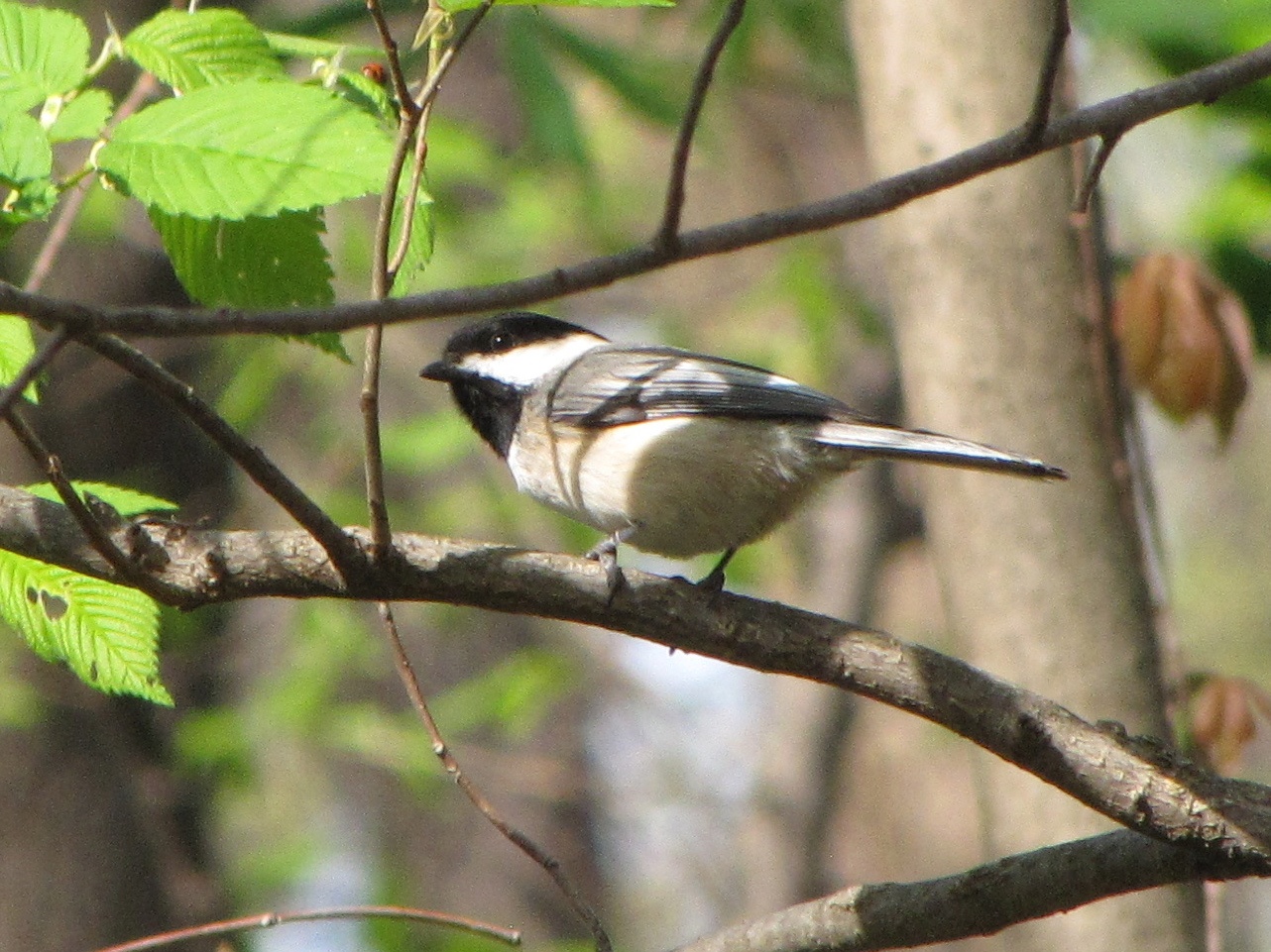
672-Black-capped Chickadee Bottom Road Putnam County IL March 2012 Jeff Skrentny FB0417 IMG_0537

IMG_9453.100731

IMG_9454.100731

IMG_0867.JPG

IMG_9252.100731

pcca underwater
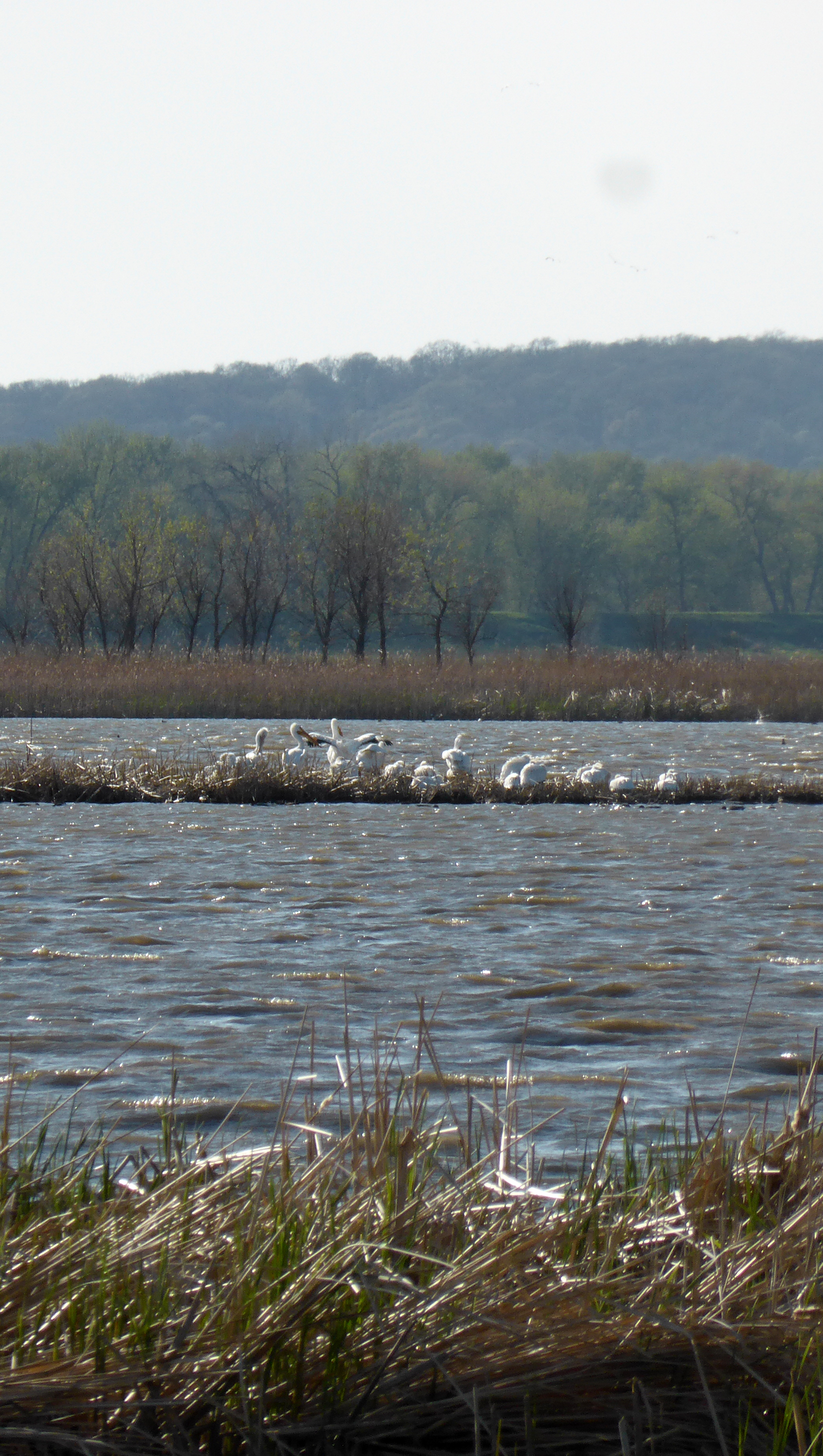
American White Pelicans

Frosty Morning
Topographic Map of Hennepin Township, IL, USA
Find elevation by address:

Places in Hennepin Township, IL, USA:
Places near Hennepin Township, IL, USA:
Florid
Putnam County
Hennepin
4th St, Hennepin, IL, USA
Granville Township
N Mccoy St, Granville, IL, USA
Granville
Putnam
Center St, Putnam, IL, USA
Main St, McNabb, IL, USA
Mcnabb
650 Il-26
Magnolia Township
Senachwine Township
Magnolia
W Dakota St, Spring Valley, IL, USA
Spring Valley
Arispie Township
3105 Us-6
2280 County Rd 1290 N
Recent Searches:
- Elevation of Chesaw Rd, Oroville, WA, USA
- Elevation of N, Mt Pleasant, UT, USA
- Elevation of 6 Rue Jules Ferry, Beausoleil, France
- Elevation of Sattva Horizon, 4JC6+G9P, Vinayak Nagar, Kattigenahalli, Bengaluru, Karnataka, India
- Elevation of Great Brook Sports, Gold Star Hwy, Groton, CT, USA
- Elevation of 10 Mountain Laurels Dr, Nashua, NH, USA
- Elevation of 16 Gilboa Ln, Nashua, NH, USA
- Elevation of Laurel Rd, Townsend, TN, USA
- Elevation of 3 Nestling Wood Dr, Long Valley, NJ, USA
- Elevation of Ilungu, Tanzania