Elevation of Iguala, Guerrero, Mexico
Location: Mexico > Guerrero >
Longitude: -99.531570
Latitude: 18.3458328
Elevation: 749m / 2457feet
Barometric Pressure: 93KPa
Elevation Map:
Satellite Map:
Related Photos:
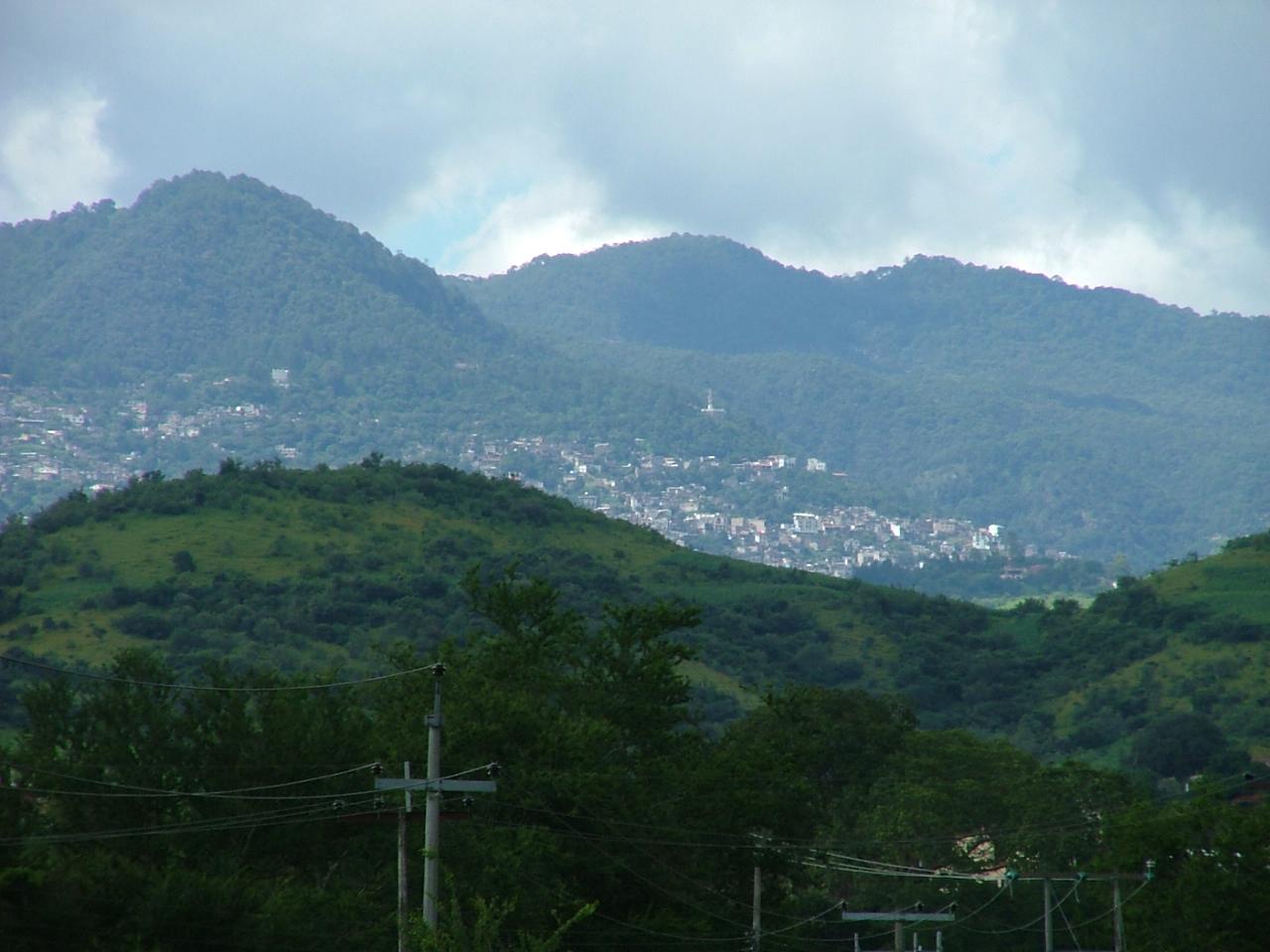
View of Taxco el Viejo from the Spratling Workshop
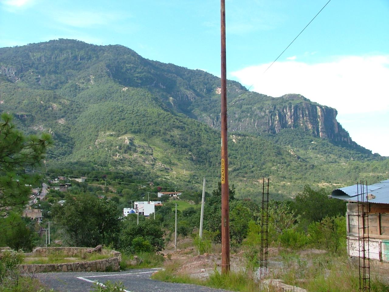
View from the Spratling Workshop
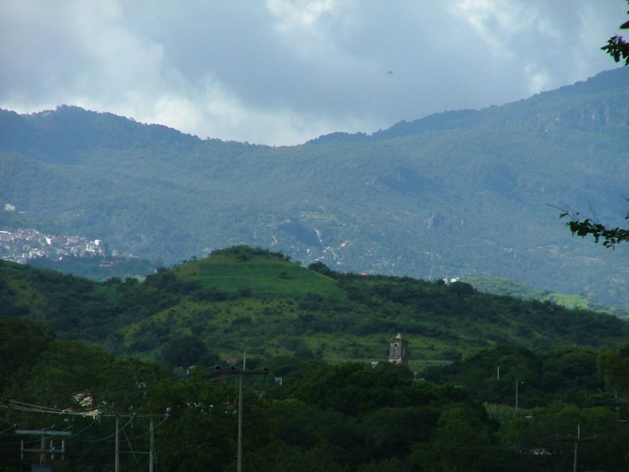
View of the Mountains from Near the Spratling Workshop
Foliage Near the Spratling Museum
paisaje.
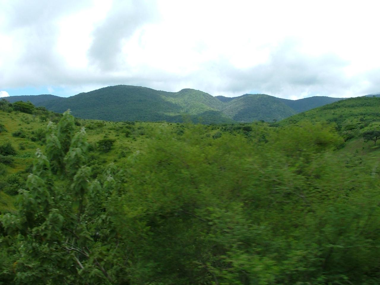
Hills to the North-East of the Spratling Ranch

P140711_13.52
Tarde placentera en Tuxpan.

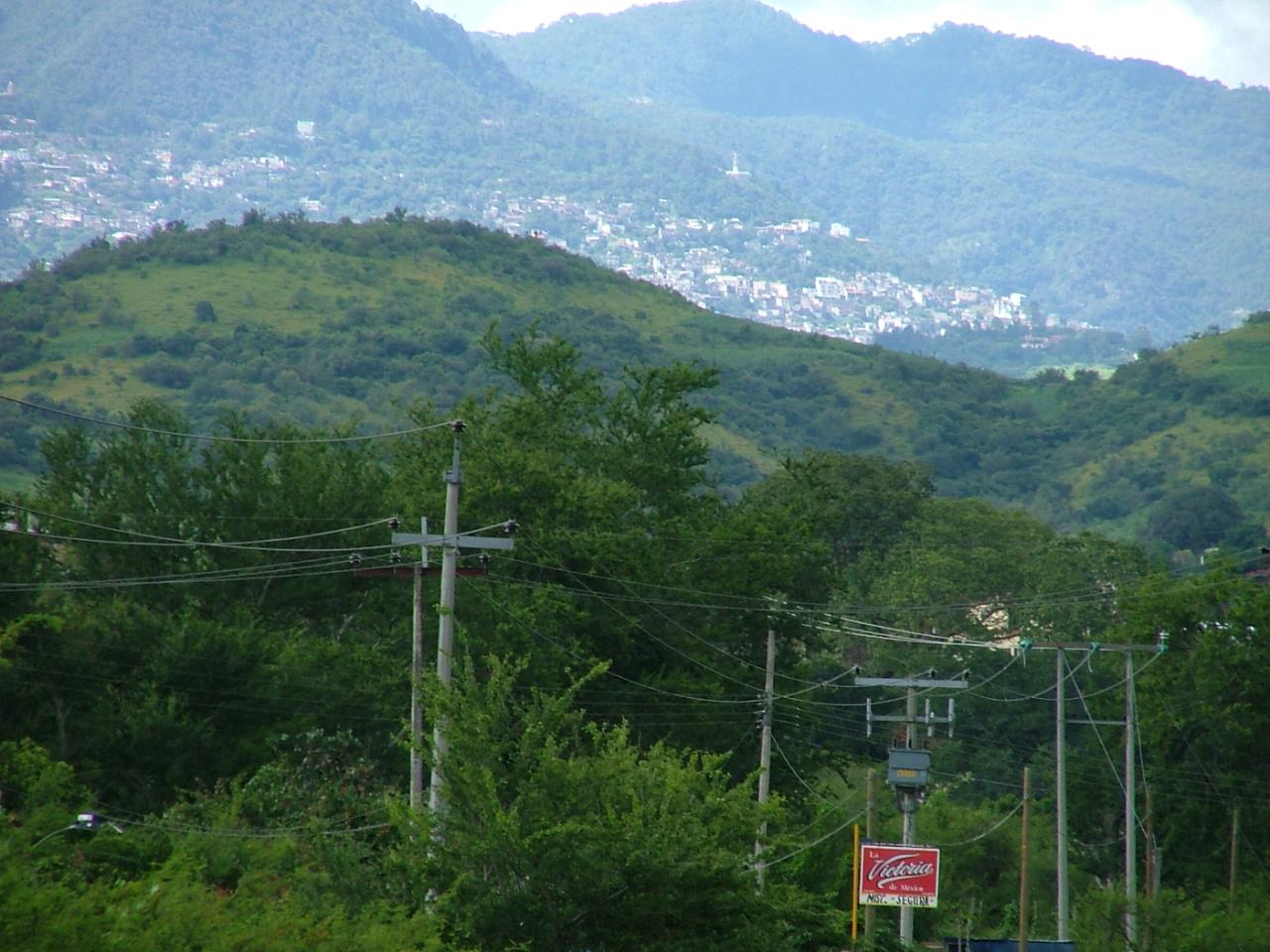
Iguala de la Independencia..., Cuna de la Bandera de la Nación!

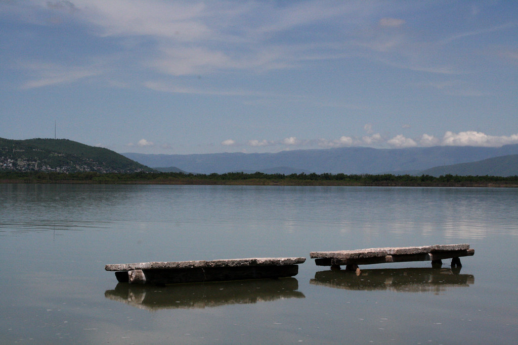
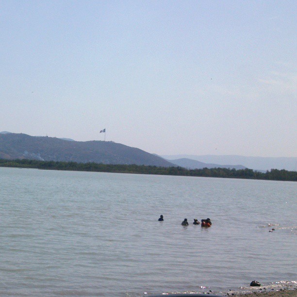
Laguna de Iguala
Topographic Map of Iguala, Guerrero, Mexico
Find elevation by address:

Places in Iguala, Guerrero, Mexico:
Places near Iguala, Guerrero, Mexico:
Iguala
Hermosillo
Unidos Por Guerrero
Huitzuco De Los Figueroa
Taxco
Ahuacatitlán 3, Casallas, Taxco, Gro., Mexico
Ixcateopan De Cuauhtémoc
Simatel
Puente De Ixtla
Tequesquitengo
Juchimilpa Guerrero
San José Vista Hermosa
San Nicolás Galeana
Calle Pedro Amaro 14, Centro, San Nicolás Galeana, Mor., Mexico
Centro
Jojutla
De Las Flores 4, Centro, Miacatlán, Mor., Mexico
Centro
Miacatlán
Zacatepec
Recent Searches:
- Elevation of N, Mt Pleasant, UT, USA
- Elevation of 6 Rue Jules Ferry, Beausoleil, France
- Elevation of Sattva Horizon, 4JC6+G9P, Vinayak Nagar, Kattigenahalli, Bengaluru, Karnataka, India
- Elevation of Great Brook Sports, Gold Star Hwy, Groton, CT, USA
- Elevation of 10 Mountain Laurels Dr, Nashua, NH, USA
- Elevation of 16 Gilboa Ln, Nashua, NH, USA
- Elevation of Laurel Rd, Townsend, TN, USA
- Elevation of 3 Nestling Wood Dr, Long Valley, NJ, USA
- Elevation of Ilungu, Tanzania
- Elevation of Yellow Springs Road, Yellow Springs Rd, Chester Springs, PA, USA