Elevation of Hermosillo, Iguala de la Independencia, Gro., Mexico
Location: Mexico > Guerrero > Iguala > Iguala > Unidos Por Guerrero >
Longitude: -99.551824
Latitude: 18.3439968
Elevation: 734m / 2408feet
Barometric Pressure: 93KPa
Elevation Map:
Satellite Map:
Related Photos:
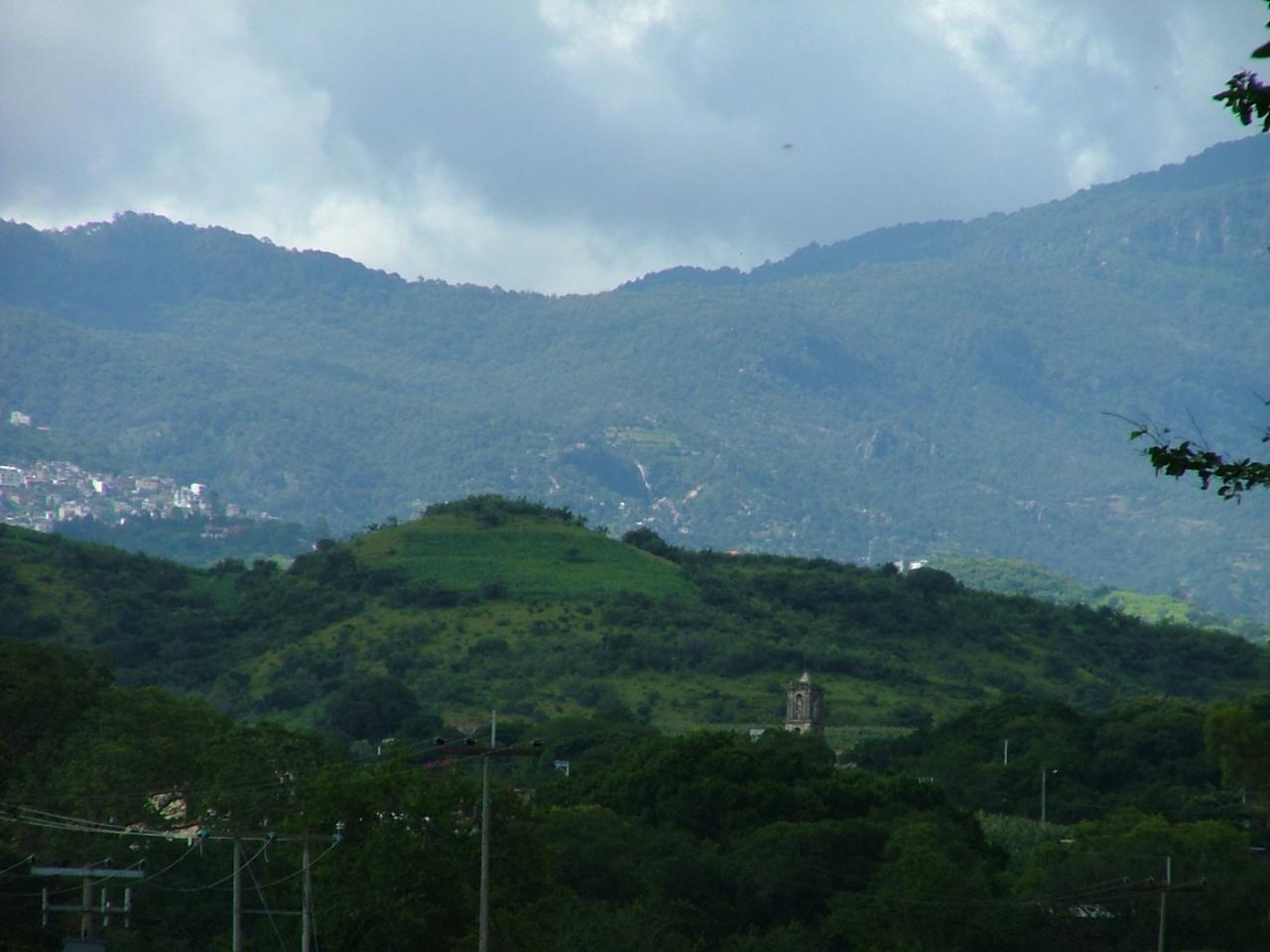
View of Taxco el Viejo from the Spratling Workshop
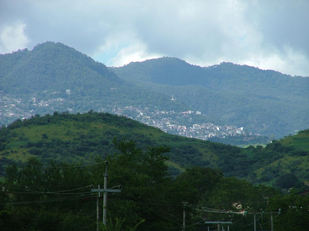
View from the Spratling Workshop
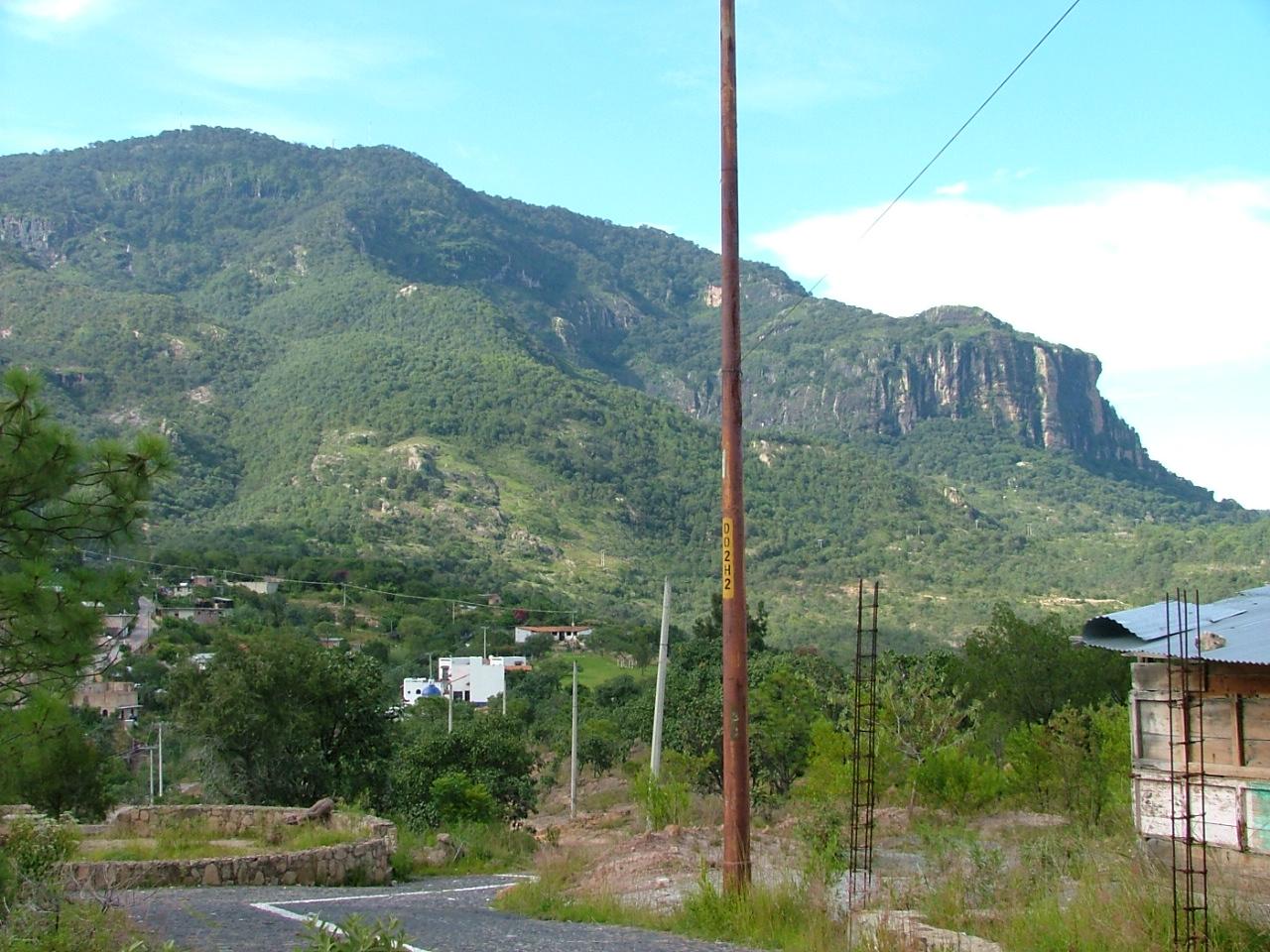
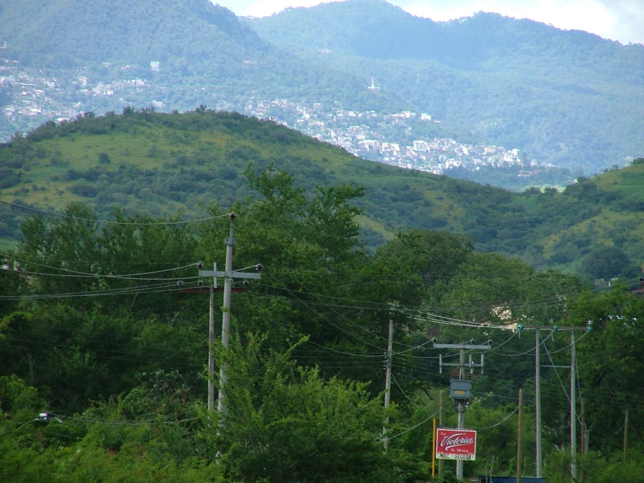
View of the Mountains from Near the Spratling Workshop
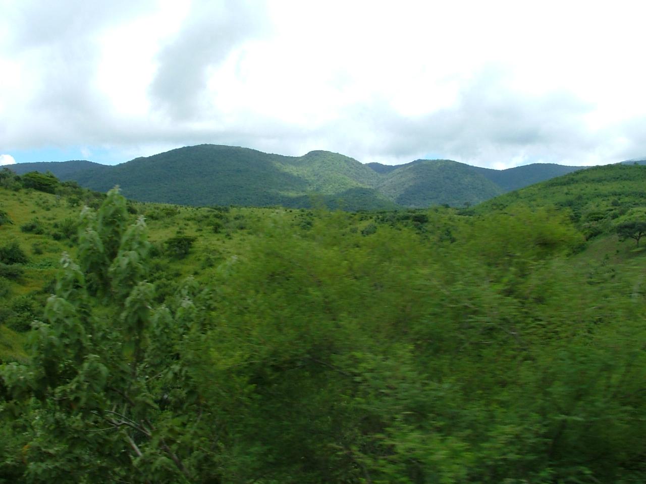
Foliage Near the Spratling Museum
paisaje.
Hills to the North-East of the Spratling Ranch

P140711_13.52
Tarde placentera en Tuxpan.

Iguala de la Independencia..., Cuna de la Bandera de la Nación!

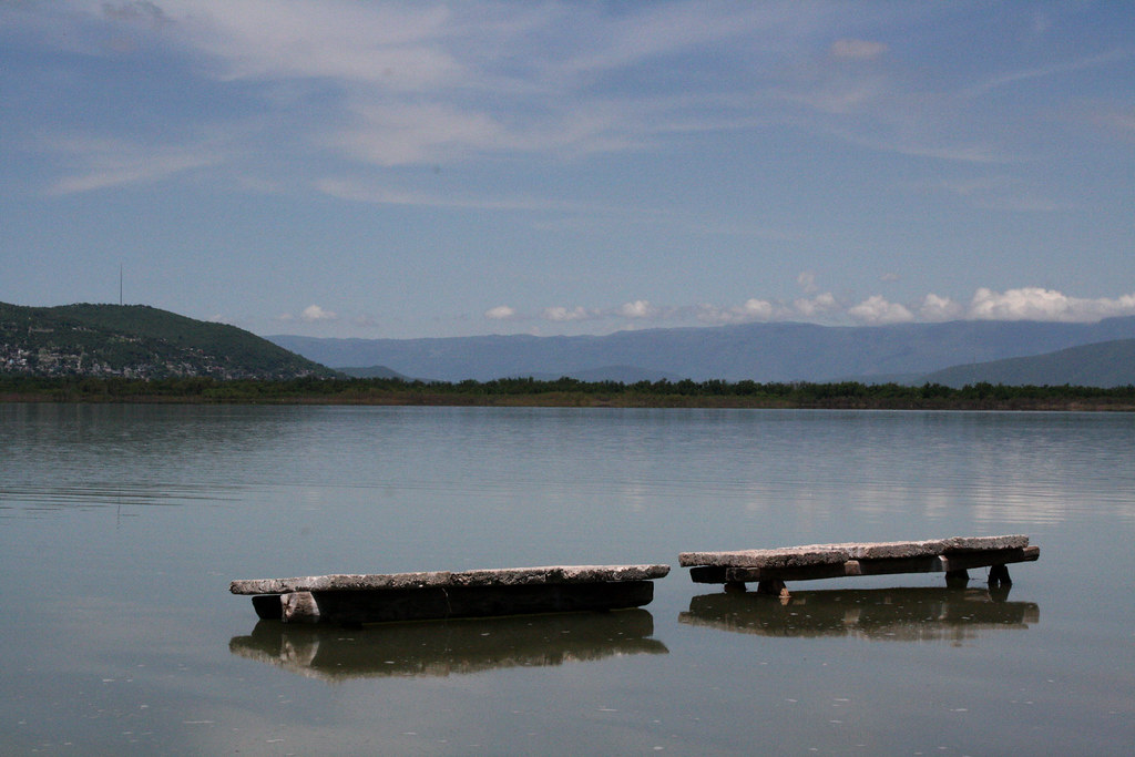
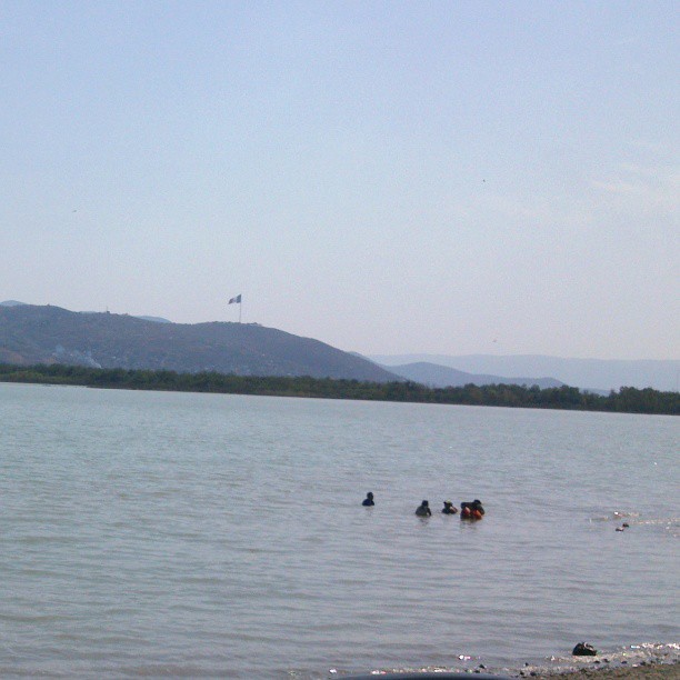
Laguna de Iguala
Topographic Map of Hermosillo, Iguala de la Independencia, Gro., Mexico
Find elevation by address:

Places near Hermosillo, Iguala de la Independencia, Gro., Mexico:
Unidos Por Guerrero
Iguala
Iguala
Taxco
Huitzuco De Los Figueroa
Ahuacatitlán 3, Casallas, Taxco, Gro., Mexico
Ixcateopan De Cuauhtémoc
Simatel
Puente De Ixtla
Tequesquitengo
Juchimilpa Guerrero
San José Vista Hermosa
San Nicolás Galeana
Calle Pedro Amaro 14, Centro, San Nicolás Galeana, Mor., Mexico
Centro
Jojutla
De Las Flores 4, Centro, Miacatlán, Mor., Mexico
Centro
Miacatlán
Miacatlán
Recent Searches:
- Elevation of 高尾山口駅, Takaomachi, Hachioji, Tokyo -, Japan
- Elevation of 15 Victory Ave, Greenville, SC, USA
- Elevation of Kota Ternate Utara, Ternate City, North Maluku, Indonesia
- Elevation of Allon St, Oceanside, NY, USA
- Elevation of Carroll Creek Rd, Custer, SD, USA
- Elevation of Lust Road, Lust Rd, Florida, USA
- Elevation of Pleasant Valley Rd NW, Adairsville, GA, USA
- Elevation of Općina Šodolovci, Croatia
- Elevation of Šodolovci, Croatia
- Elevation of Old Clairton Rd, Jefferson Hills, PA, USA