Elevation of I-44BUS, Sarcoxie, MO, USA
Location: United States > Missouri > Jasper County > Sarcoxie Township > Sarcoxie >
Longitude: -94.106755
Latitude: 37.074614
Elevation: -10000m / -32808feet
Barometric Pressure: 295KPa
Elevation Map:
Satellite Map:
Related Photos:

Sad and All Alone

Center Creek- Side View

Clear Creek Overflow-Side View

Blazing Star Visited

Blazing Star Visitor

2017 09 20 - Sky - DSCN8696

cows at sunset...

Route 66
Route 66

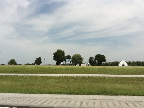
Cattle farm

The Farm

2017 09 20 - Sky - DSCN8697
Topographic Map of I-44BUS, Sarcoxie, MO, USA
Find elevation by address:

Places near I-44BUS, Sarcoxie, MO, USA:
3122 I-44bus
Sarcoxie Township
Sarcoxie
N 6th St, Sarcoxie, MO, USA
4625 Falcon Ln
MO-37, Reeds, MO, USA
Reeds
County Road, Carthage, MO, USA
Avilla
21359 State Hwy Pp
Robert E. Talbot Conservation Area
16378 State Hwy 37
16378 State Hwy 37
16378 State Hwy 37
29999 Mulberry Rd
Lincoln Township
Stark City
N Central Ave, Monett, MO, USA
Monett
401 Frisco Ave
Recent Searches:
- Elevation of Pu Ngaol Community Meeting Hall, HWHM+3X7, Krong Saen Monourom, Cambodia
- Elevation of Royal Ontario Museum, Queens Park, Toronto, ON M5S 2C6, Canada
- Elevation of Groblershoop, South Africa
- Elevation of Power Generation Enterprises | Industrial Diesel Generators, Oak Ave, Canyon Country, CA, USA
- Elevation of Chesaw Rd, Oroville, WA, USA
- Elevation of N, Mt Pleasant, UT, USA
- Elevation of 6 Rue Jules Ferry, Beausoleil, France
- Elevation of Sattva Horizon, 4JC6+G9P, Vinayak Nagar, Kattigenahalli, Bengaluru, Karnataka, India
- Elevation of Great Brook Sports, Gold Star Hwy, Groton, CT, USA
- Elevation of 10 Mountain Laurels Dr, Nashua, NH, USA