Elevation of Avilla, MO, USA
Location: United States > Missouri > Jasper County >
Longitude: -94.129662
Latitude: 37.1953342
Elevation: 342m / 1122feet
Barometric Pressure: 97KPa
Elevation Map:
Satellite Map:
Related Photos:
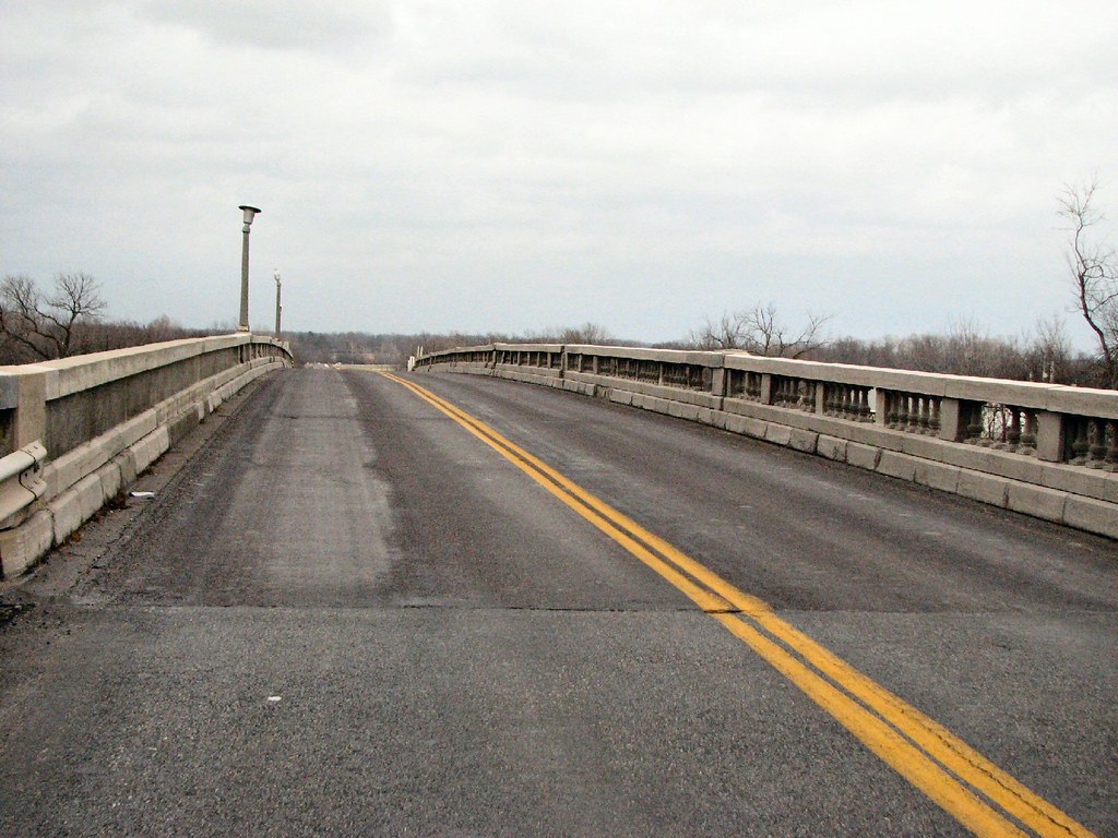
Carthage Bridge: NB Deck View
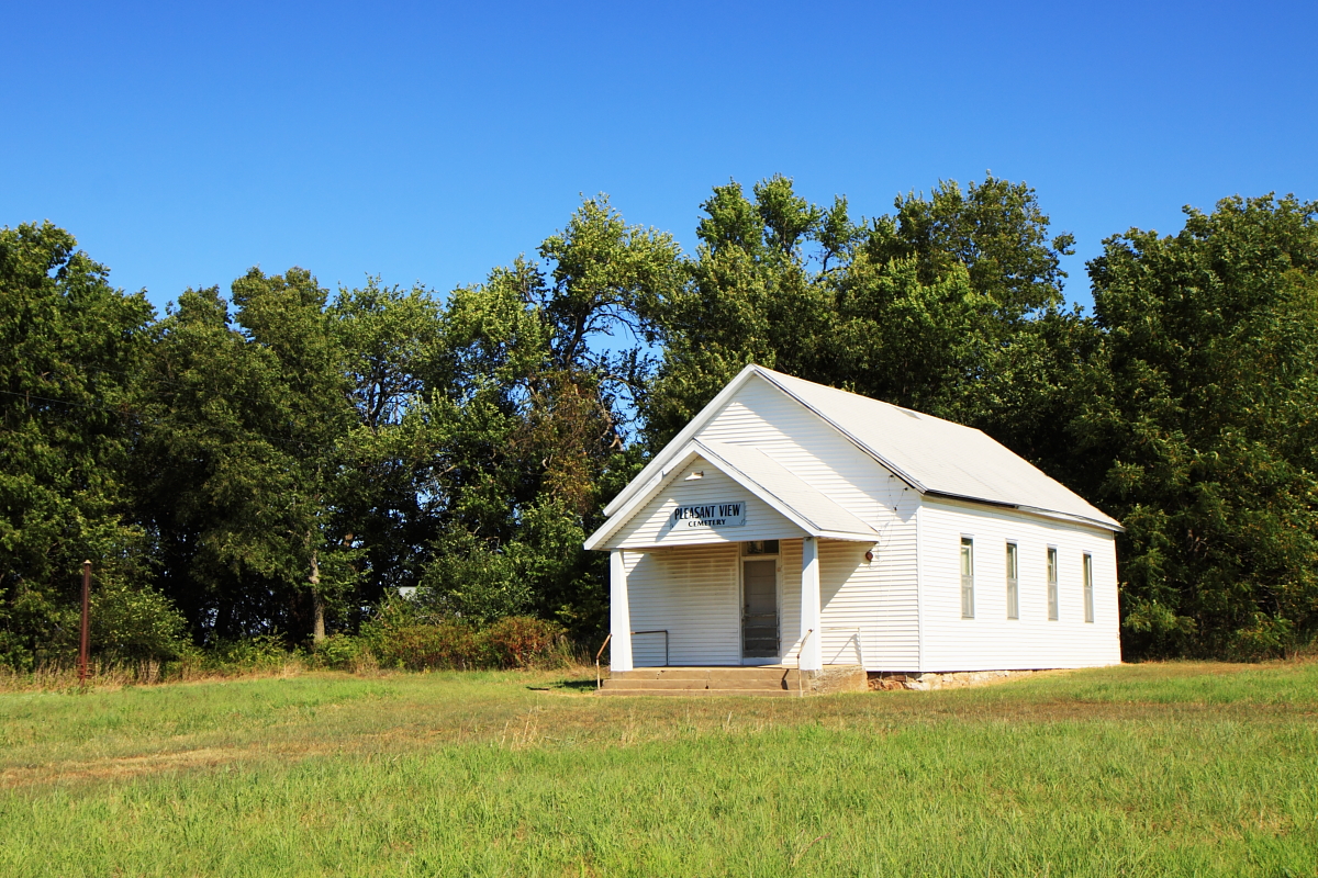
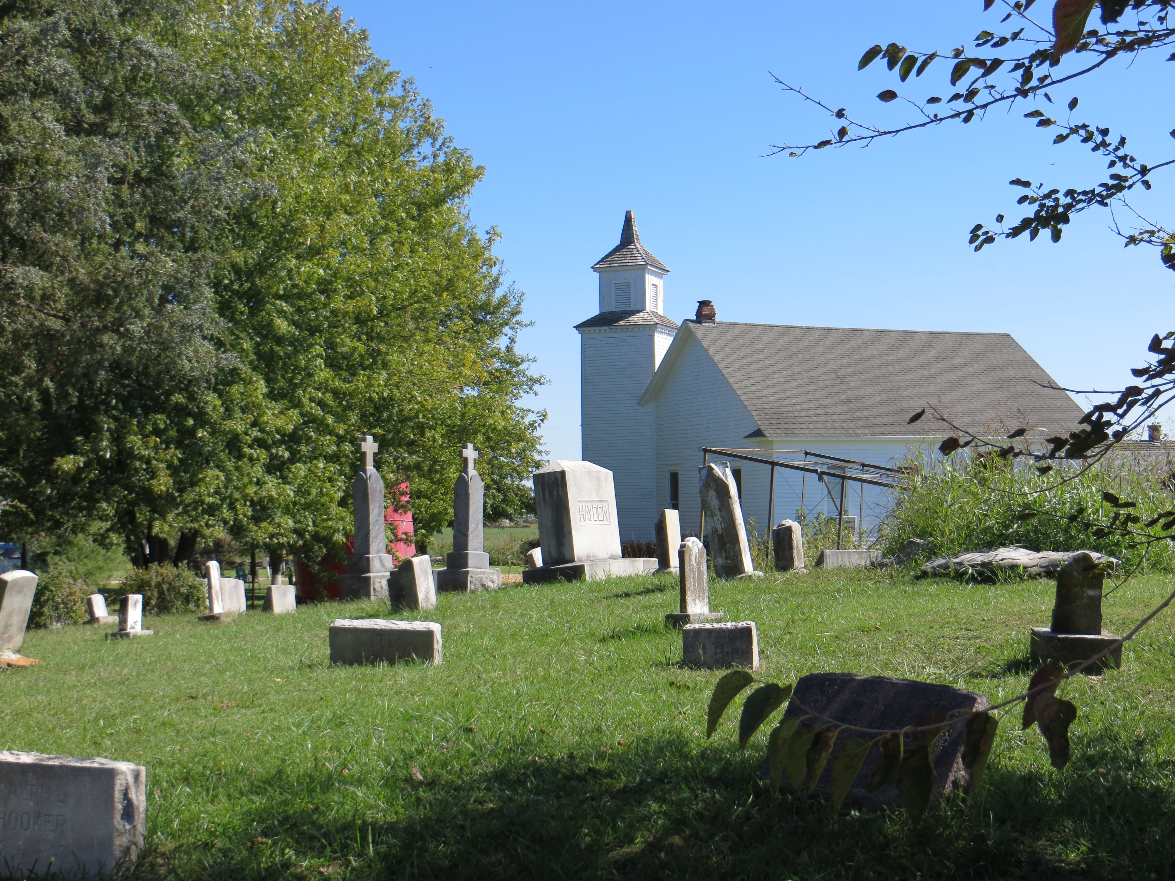
Pleasant View Cemetery

Kendricktown Rock Station
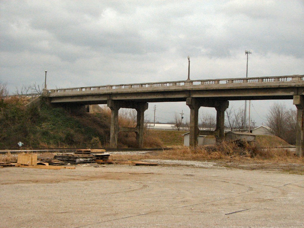
Carthage Bridge: Side View
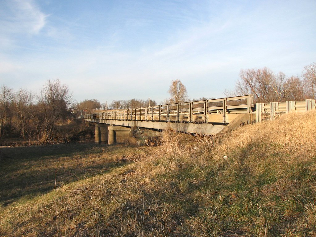
Center Creek- Side View

Carthage Bridge: Deck View

...asses forming, Carthage MO

Forgotten Law
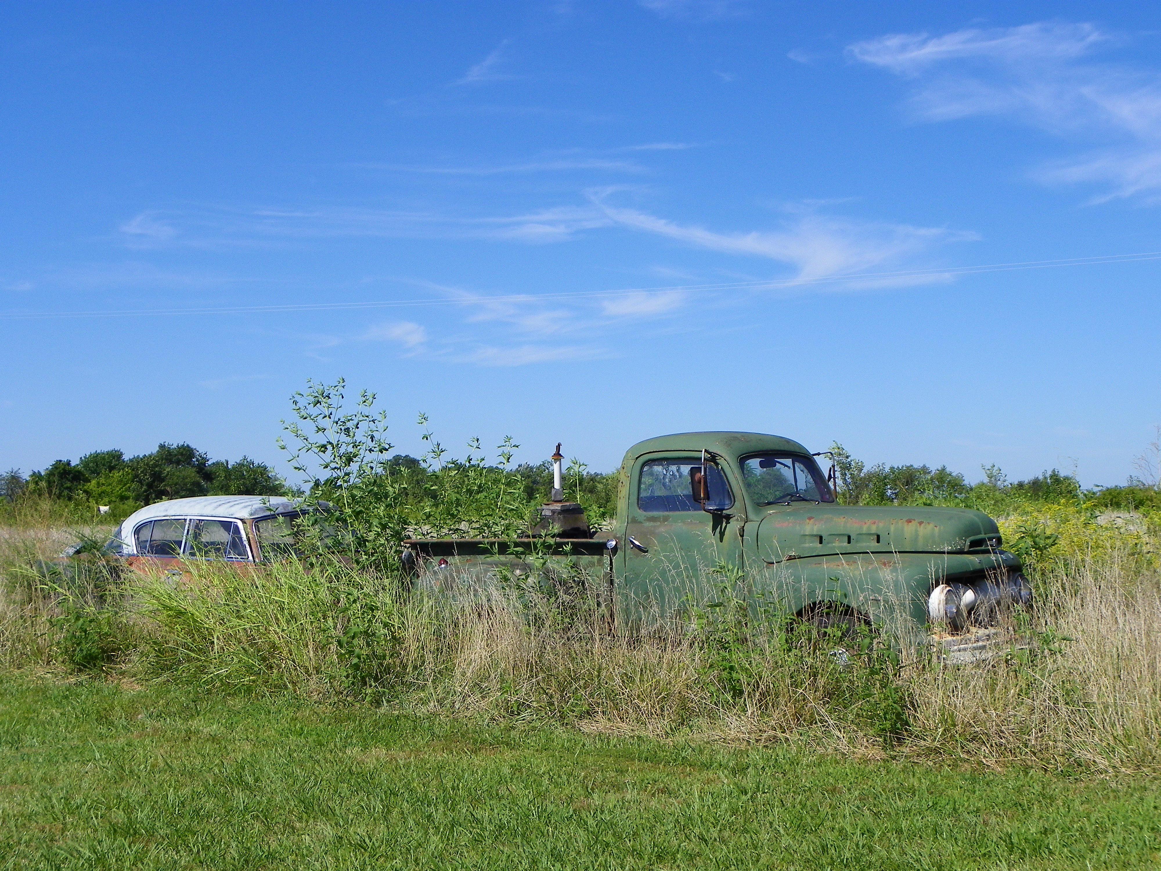
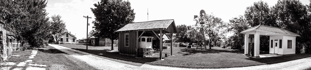
Red Oak II - Missouri
Route 66
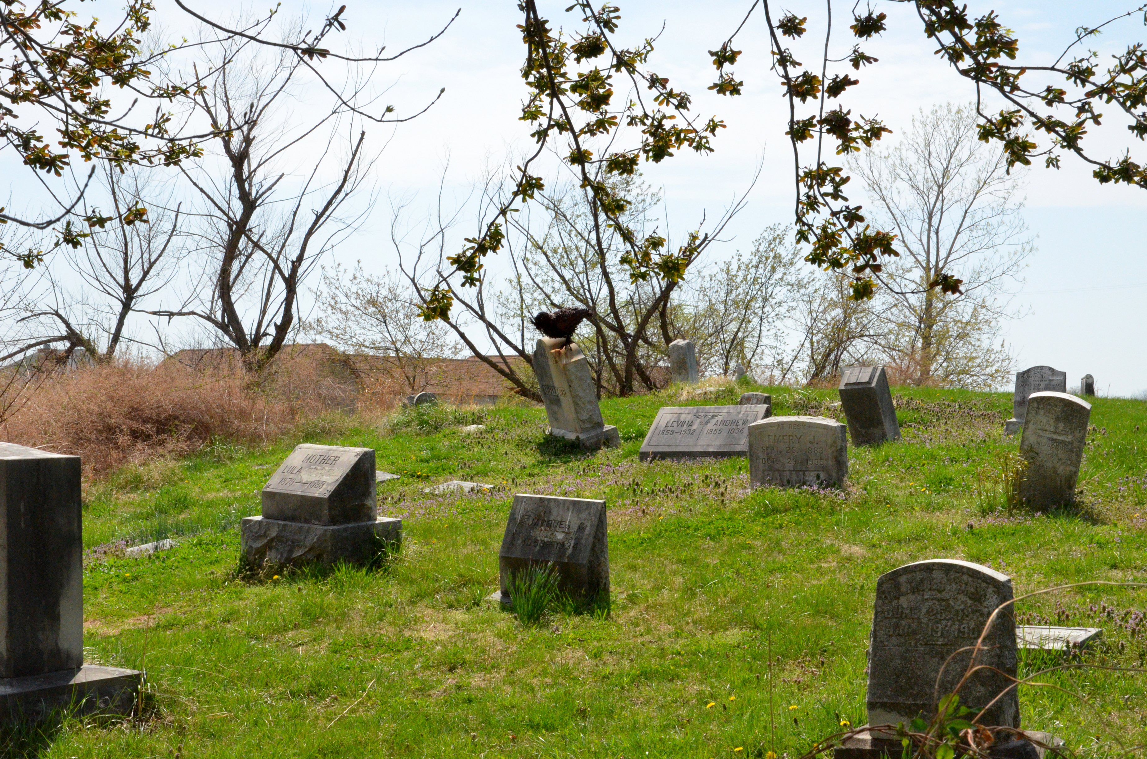
Red Oak II Cemetery

Route 66

Route 66
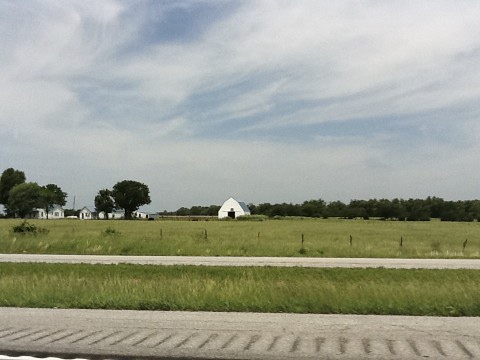
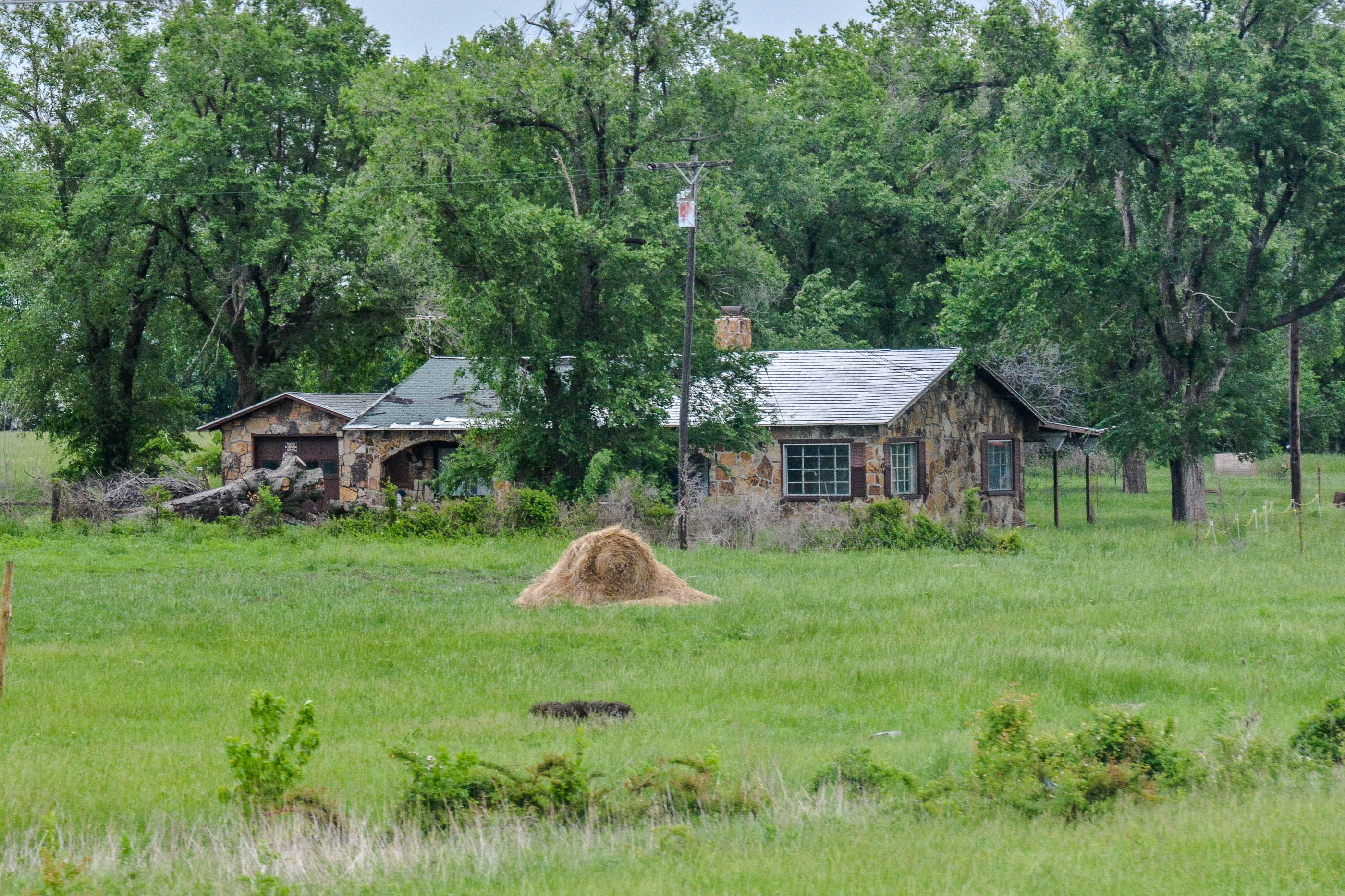
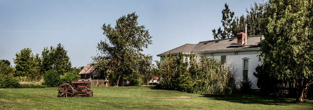
The Farm

Headless Statue
2012 Route 66, Vegas,Los Angeles, and Houston
Red Oak II
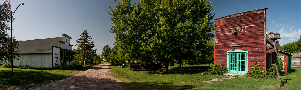
Red Oak II
Carthrage Missouri
Red Oak II
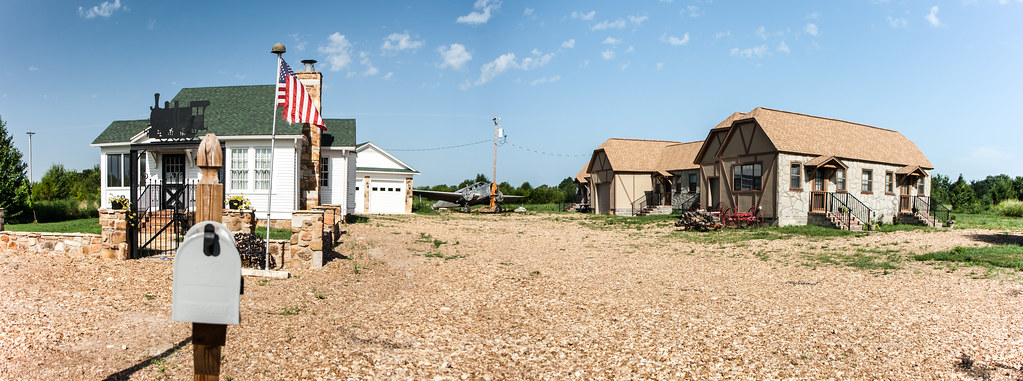
Red Oak II
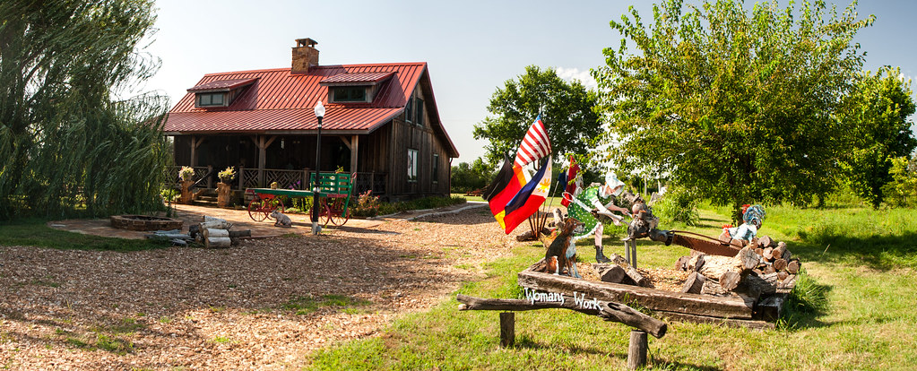
Red Oak II
Topographic Map of Avilla, MO, USA
Find elevation by address:

Places near Avilla, MO, USA:
4625 Falcon Ln
16378 State Hwy 37
16378 State Hwy 37
16378 State Hwy 37
Reeds
MO-37, Reeds, MO, USA
Lincoln Township
3211 I-44bus
Sheridan Township
3122 I-44bus
Sarcoxie
Sarcoxie Township
N 6th St, Sarcoxie, MO, USA
County Road 90
2321 Sumac Rd
County Road, Carthage, MO, USA
Robert E. Talbot Conservation Area
Golden City
303 Wyatt Ave
303 Wyatt Ave
Recent Searches:
- Elevation of Groblershoop, South Africa
- Elevation of Power Generation Enterprises | Industrial Diesel Generators, Oak Ave, Canyon Country, CA, USA
- Elevation of Chesaw Rd, Oroville, WA, USA
- Elevation of N, Mt Pleasant, UT, USA
- Elevation of 6 Rue Jules Ferry, Beausoleil, France
- Elevation of Sattva Horizon, 4JC6+G9P, Vinayak Nagar, Kattigenahalli, Bengaluru, Karnataka, India
- Elevation of Great Brook Sports, Gold Star Hwy, Groton, CT, USA
- Elevation of 10 Mountain Laurels Dr, Nashua, NH, USA
- Elevation of 16 Gilboa Ln, Nashua, NH, USA
- Elevation of Laurel Rd, Townsend, TN, USA