Elevation of Hylton Rd NW, Indian Valley, VA, USA
Location: United States > Virginia > Floyd County > Indian Valley > Indian Valley >
Longitude: -80.552207
Latitude: 36.907836
Elevation: 817m / 2680feet
Barometric Pressure: 92KPa
Elevation Map:
Satellite Map:
Related Photos:

View at mom's driveway

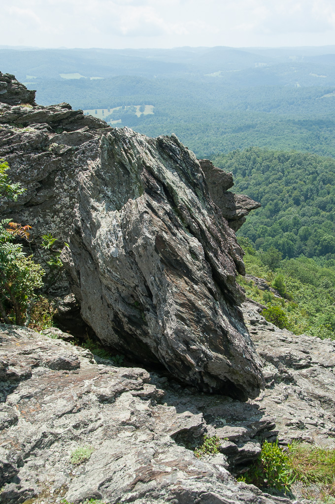
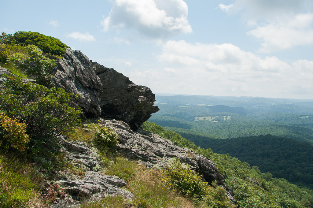
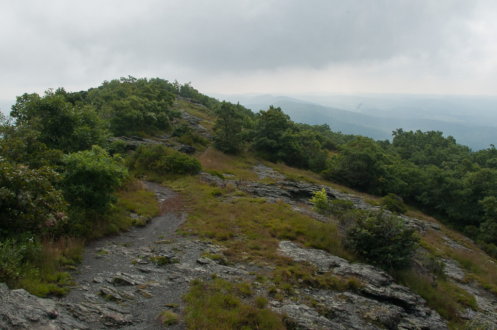
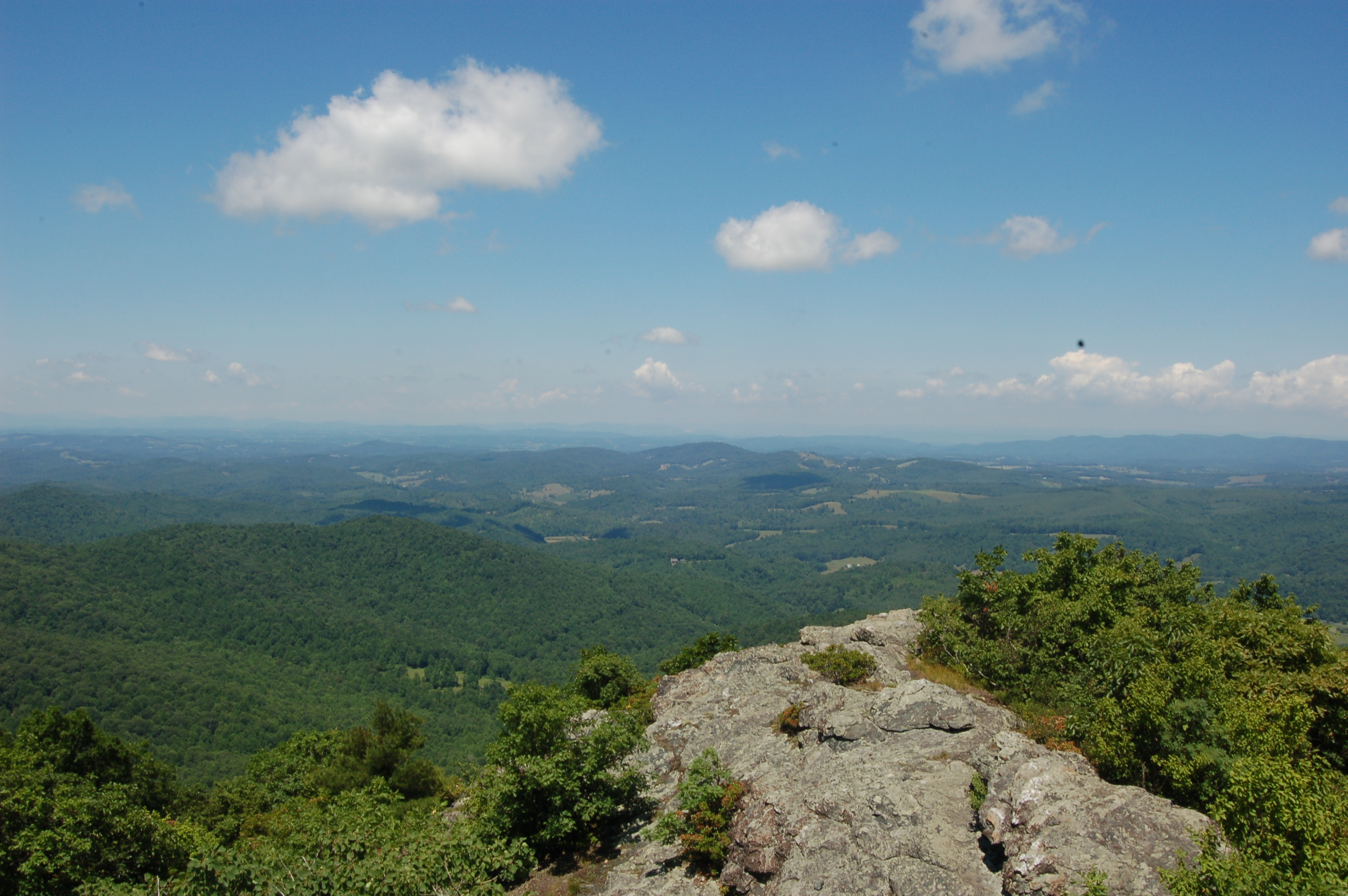
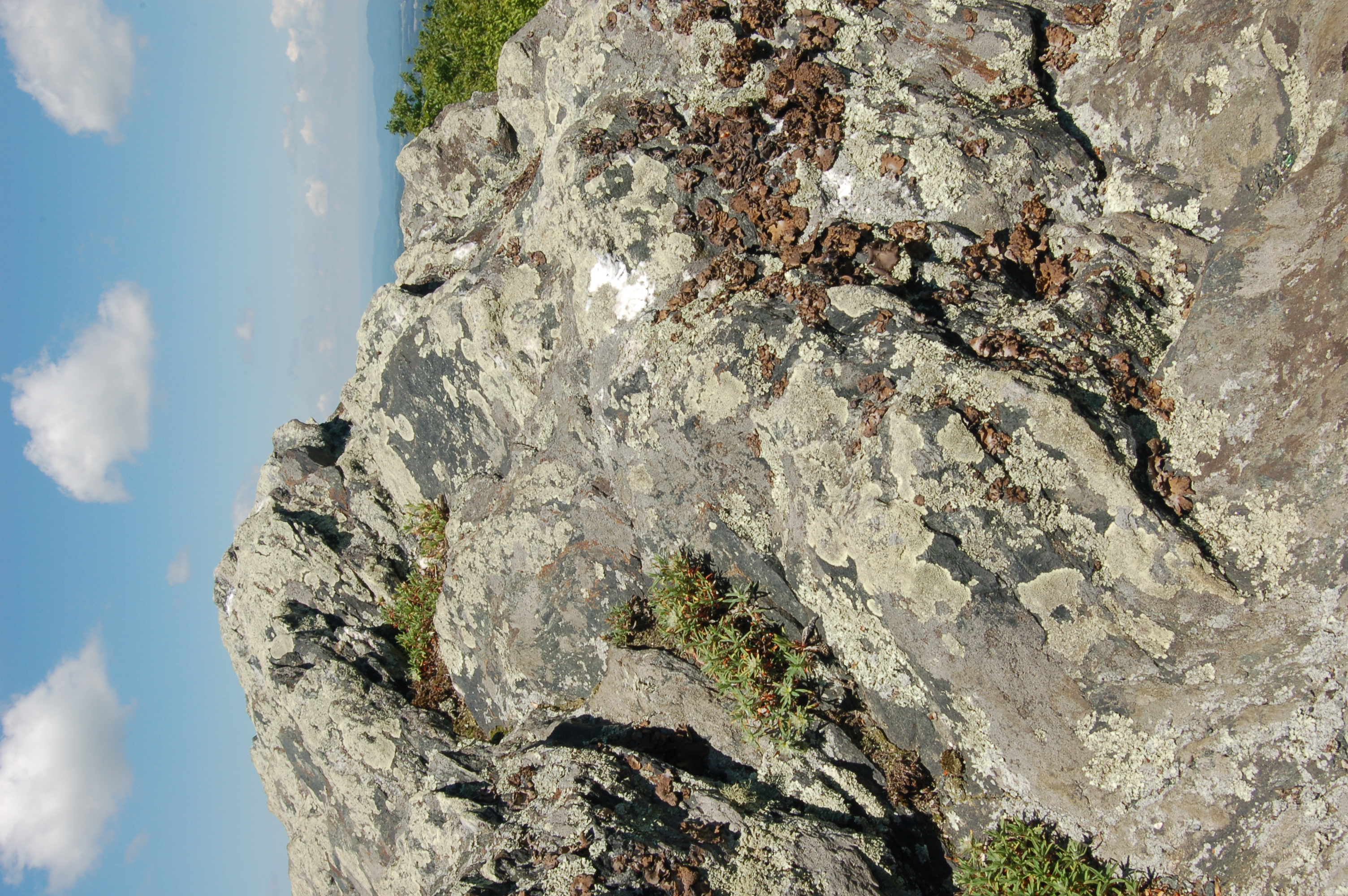
W4V/FC-005 - Buffalo Mtn View

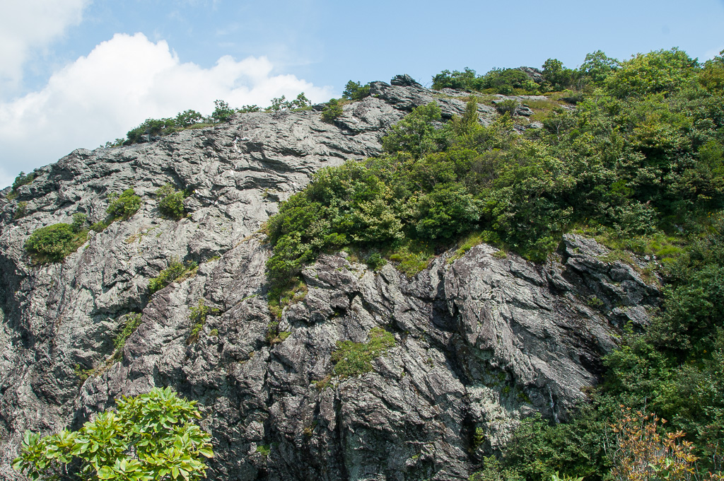
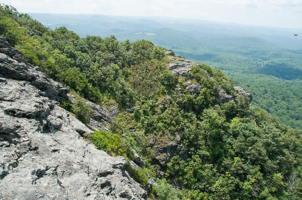
W4V/FC-005 - Buffalo Mtn View
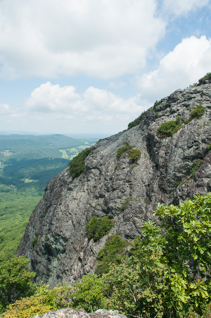
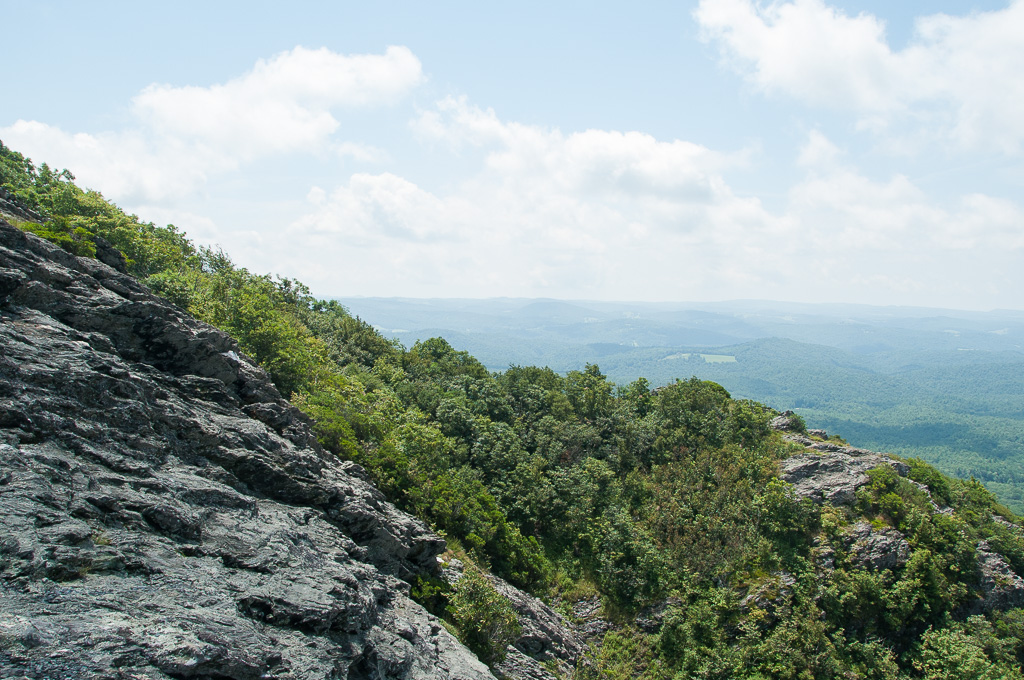
W4V/FC-005 - Buffalo Mtn View
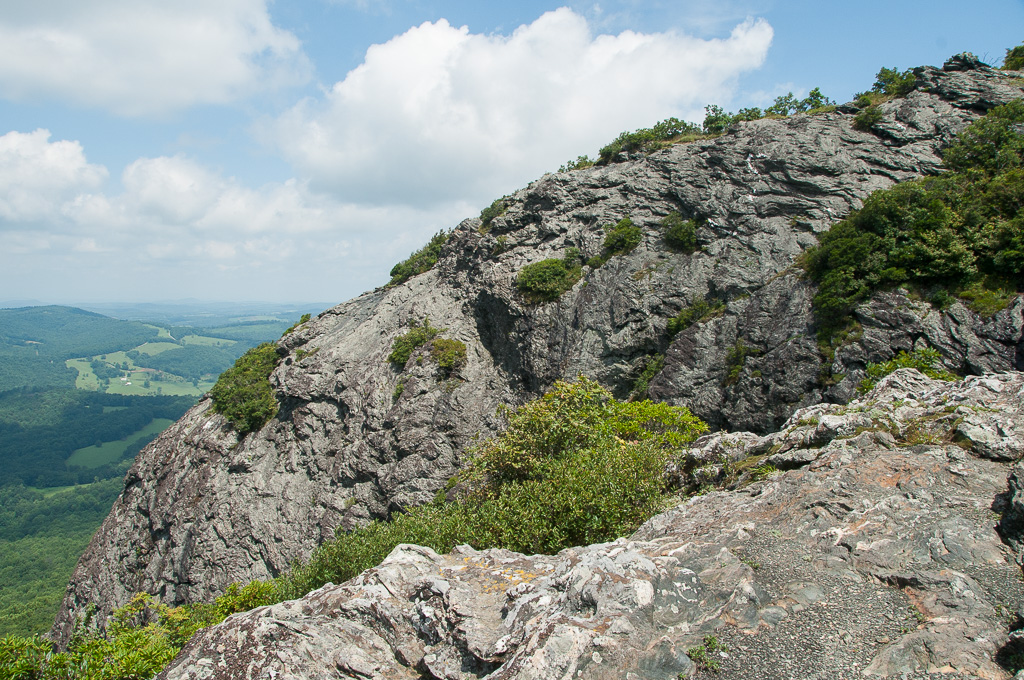
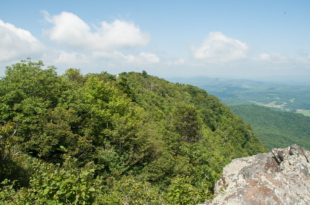
W4V/FC-005 - Buffalo Mtn View
W4V/FC-005 - Buffalo Mtn View
W4V/FC-005 - Buffalo Mtn View
W4V/FC-005 - Buffalo Mtn View

W4V/FC-005 - Buffalo Mtn View

W4V/FC-005 - Buffalo Mtn View
W4V/FC-005 - Buffalo Mtn View
W4V/FC-005 - Buffalo Mtn View

W4V/FC-005 - Buffalo Mtn View
W4V/FC-005 - Buffalo Mtn View
W4V/FC-005 - Buffalo Mtn View
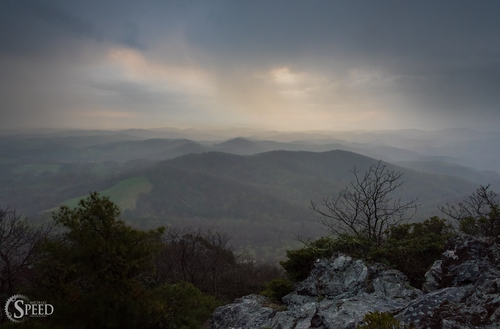
April Showers - Buffalo Mountain Natural Area
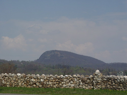
BUFFALO MOUNTAIN
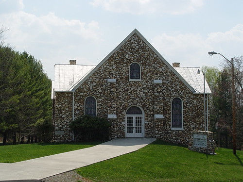
BUFFALO MTN. PRESBYTERIAN
The view from my seat.

W4V/FC-005 - Buffalo Mtn View
W4V/FC-005 - Buffalo Mtn View
Big Reed River
HAY FIELD

BIG INDIAN CREEK
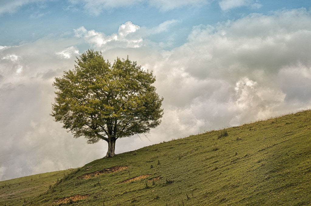
TREE ON HILL
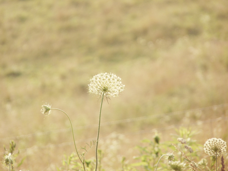
Queen Anne's Lace in the Meadow

Buffalo Mountain Floyd, VA

BUFFALO MOUNTAIN
DSC_2256.JPG

Stream in Dugspur, VA

BUFFALO MOUNTAIN
DSC_2261.JPG
DSC_2282.JPG
Camp Introvert at Antisocial Point
New River
BUFFALO MOUNTAIN PRESBYTERIAN CEMETERY
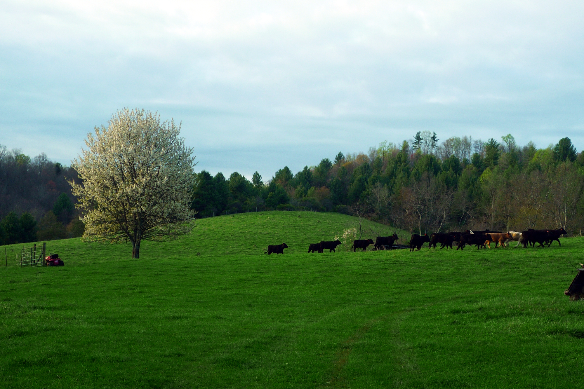
Morning Cows
All heirlooms. All individuals.
Topographic Map of Hylton Rd NW, Indian Valley, VA, USA
Find elevation by address:

Places near Hylton Rd NW, Indian Valley, VA, USA:
Indian Valley
610 Indian Valley Post Office Rd Nw
4343 Indian Valley Rd Nw
202 Hoys Dr Nw
Windy Ridge Road Northwest
539 Windy Ridge Rd Nw
346 Quesenberry Rd Nw
346 Quesenberry Rd Nw
Indian Ridge Woodcraft
432 Camp 5 Rd Nw
129 Gardner Rd Nw
6733 Floyd Hwy S
149 Sugar Tree Rd Sw
Deepwater Road
Deepwater Road
Deepwater Road
Deepwater Road
886 Double Cabin Rd
Gator Mountain Road
Gator Mountain Road
Recent Searches:
- Elevation of Power Generation Enterprises | Industrial Diesel Generators, Oak Ave, Canyon Country, CA, USA
- Elevation of Chesaw Rd, Oroville, WA, USA
- Elevation of N, Mt Pleasant, UT, USA
- Elevation of 6 Rue Jules Ferry, Beausoleil, France
- Elevation of Sattva Horizon, 4JC6+G9P, Vinayak Nagar, Kattigenahalli, Bengaluru, Karnataka, India
- Elevation of Great Brook Sports, Gold Star Hwy, Groton, CT, USA
- Elevation of 10 Mountain Laurels Dr, Nashua, NH, USA
- Elevation of 16 Gilboa Ln, Nashua, NH, USA
- Elevation of Laurel Rd, Townsend, TN, USA
- Elevation of 3 Nestling Wood Dr, Long Valley, NJ, USA