Elevation of Hwy 17, Mattawa, ON P0H 1V0, Canada
Location: Canada > Ontario > Nipissing District > Mattawa >
Longitude: -78.652399
Latitude: 46.3156975
Elevation: 230m / 755feet
Barometric Pressure: 99KPa
Elevation Map:
Satellite Map:
Related Photos:

@atvfanatic on the VMUTS trail, at Bird's Eye View

Colorful Sky

Ottawa River Sunset

Magic Sunset

Something Magical Happening
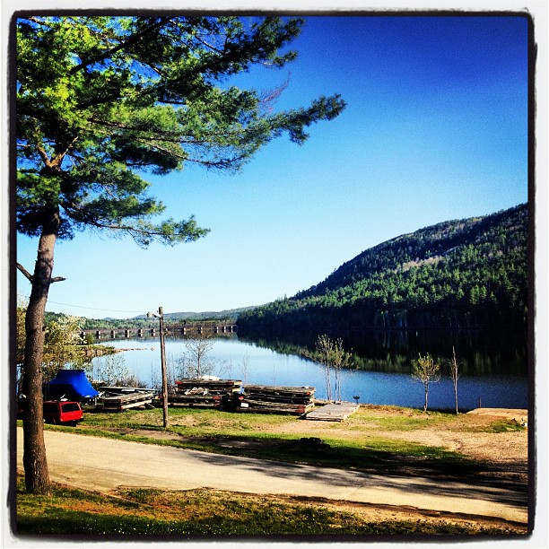
Mattawa, Ontario

Crossing Ottawa River

Mattawa Rail Bridge

nature's harmony meadow

Mattawa, Ontario June 3013

Mattawa, Ontario June 3013

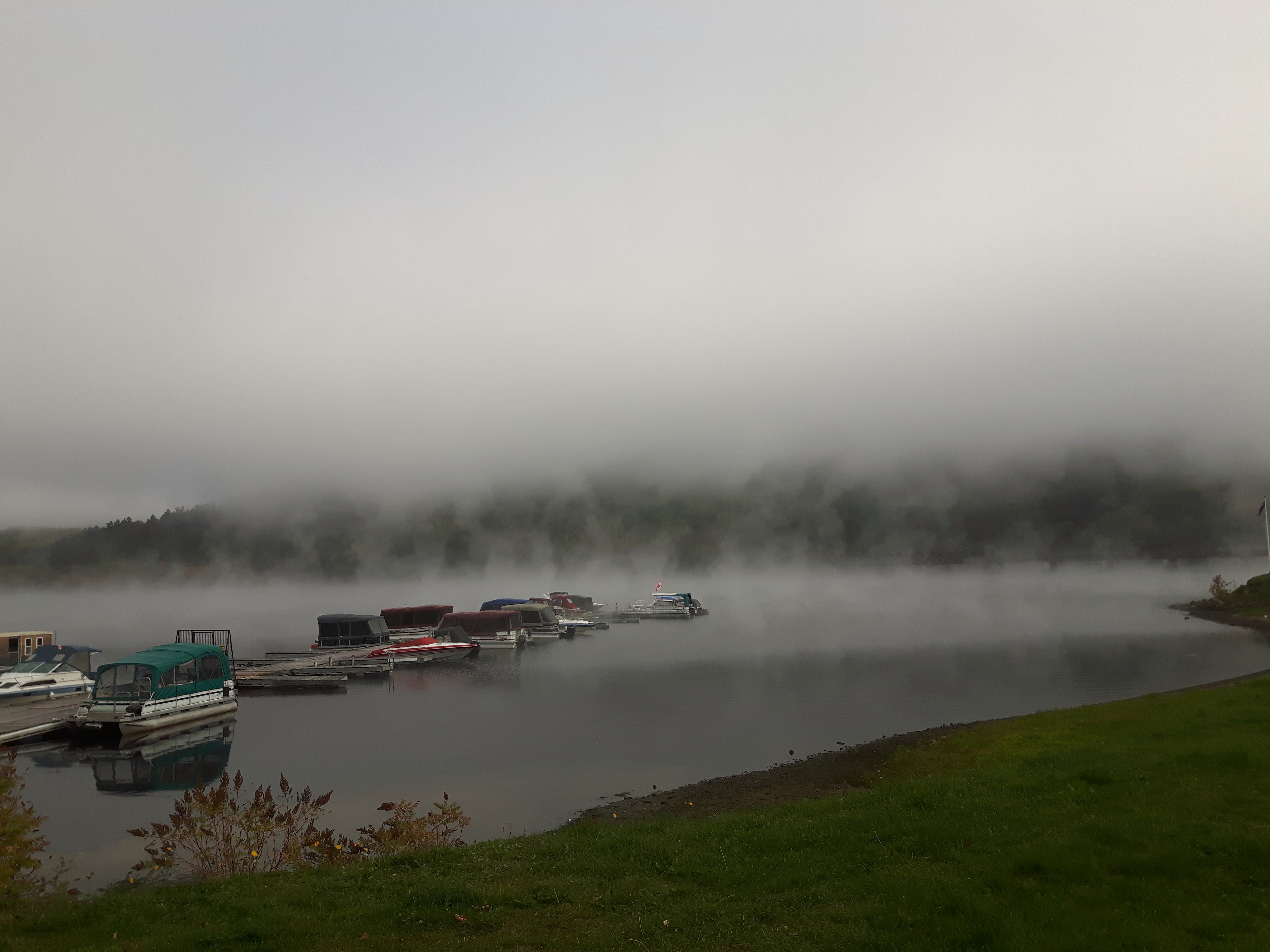
Mattawa River
Morning! At the Valois Restaurant in Mattawa.

#Ottawa #River #Mattawa #Fall #Autumn
Topographic Map of Hwy 17, Mattawa, ON P0H 1V0, Canada
Find elevation by address:

Places near Hwy 17, Mattawa, ON P0H 1V0, Canada:
Mattawa
P0h 1v0
Nipissing, Unorganized, South Part
Algonquin Provincial Park
Opeongo Lake
Mew Lake Campground
Algonquin Park
Canoe Lake
Algonquin Park Visitor Centre
Rock Lake Campground Office
14 Post St, Whitney, ON K0J 2M0, Canada
Whitney
Algonquin Highlands
Poverty Lake
Poverty Lake
South Algonquin
37 Godreau Rd, Laurentian Hills, ON K0J, Canada
K0j 2m0
Achray
Bass Lake
Recent Searches:
- Elevation of Dog Leg Dr, Minden, NV, USA
- Elevation of Dog Leg Dr, Minden, NV, USA
- Elevation of Kambingan Sa Pansol Atbp., Purok 7 Pansol, Candaba, Pampanga, Philippines
- Elevation of Pinewood Dr, New Bern, NC, USA
- Elevation of Mountain View, CA, USA
- Elevation of Foligno, Province of Perugia, Italy
- Elevation of Blauwestad, Netherlands
- Elevation of Bella Terra Blvd, Estero, FL, USA
- Elevation of Estates Loop, Priest River, ID, USA
- Elevation of Woodland Oak Pl, Thousand Oaks, CA, USA