Elevation of Huttonsville, WV, USA
Location: United States > West Virginia > Randolph County >
Longitude: -79.896879
Latitude: 38.6544082
Elevation: -10000m / -32808feet
Barometric Pressure: 295KPa
Elevation Map:
Satellite Map:
Related Photos:
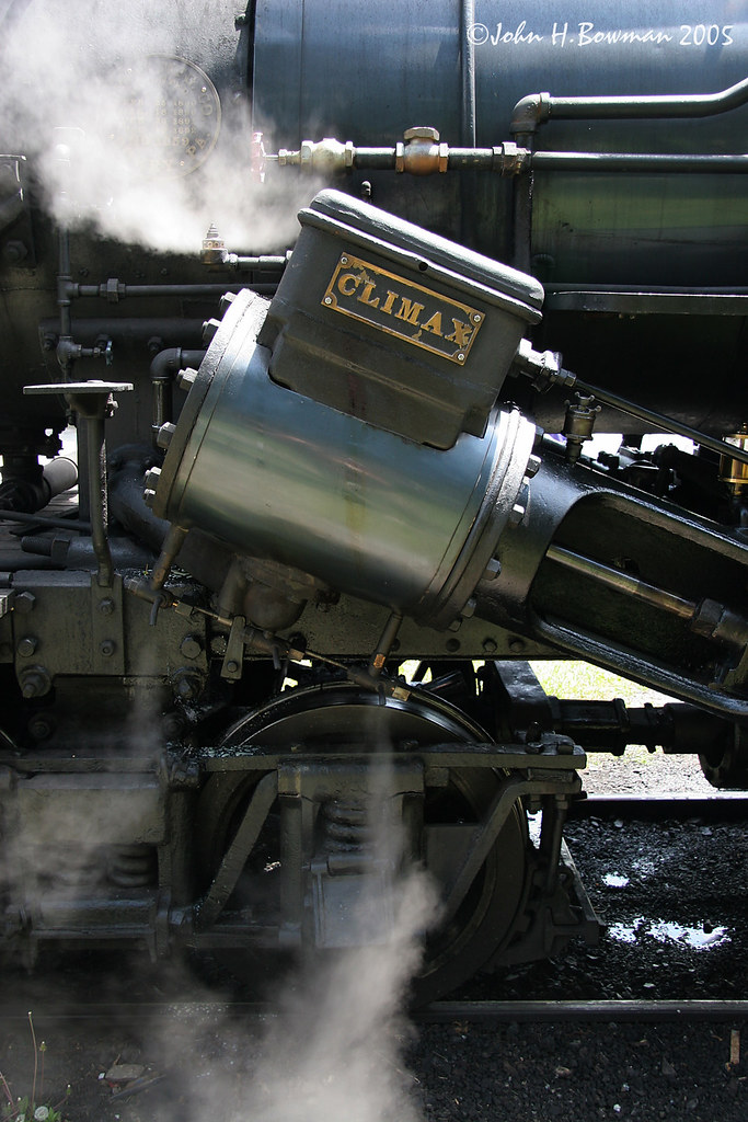
Steam's Up

Kumbrabow Forest Milky Way

Durbin Rocket with Fall Leaves

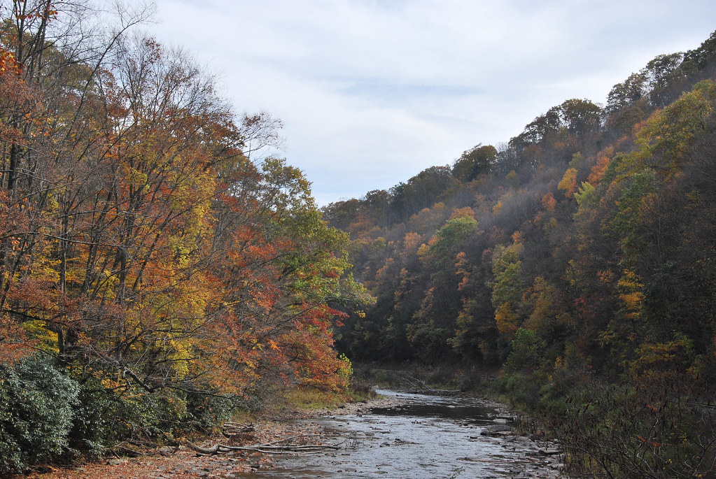
Change of seasons

Busy Bee

Shavers Fork, Cheat River - West Virginia

Gaudineer' s Knob Scenic Area

DSCF0036 - Version 2

Gaudineer Overlook Trail

Driving in a winter wonderland
Durbin Rocket

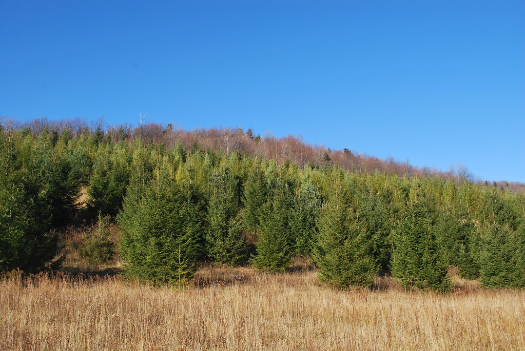
Kumbrabow State Forest

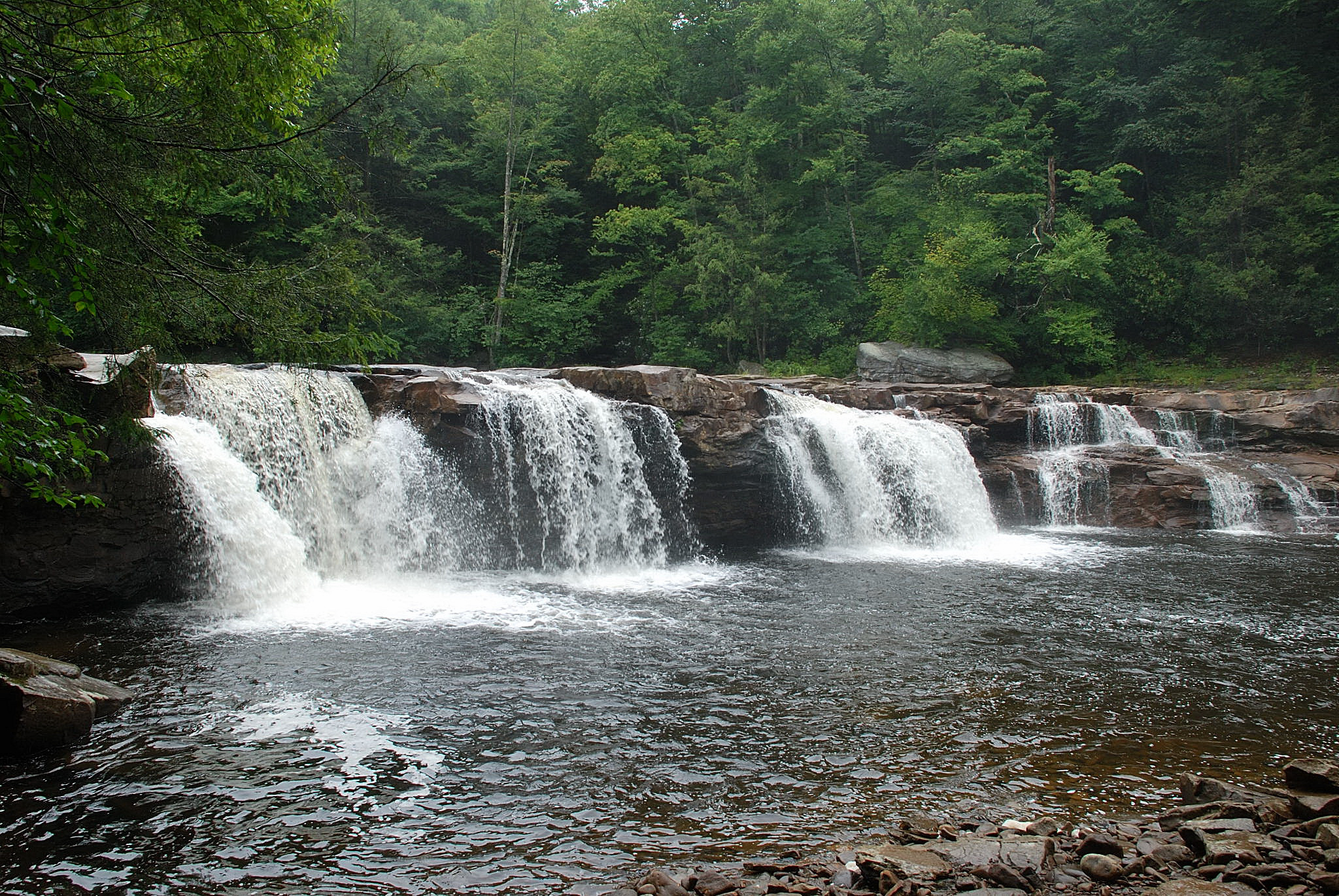
High Falls of the Cheat River

Middle Mountain Cabins

2010-07-17_11-31-20Cheat River Falls on Salamander Trip 2010-07-17_11-31-20DSC_0429
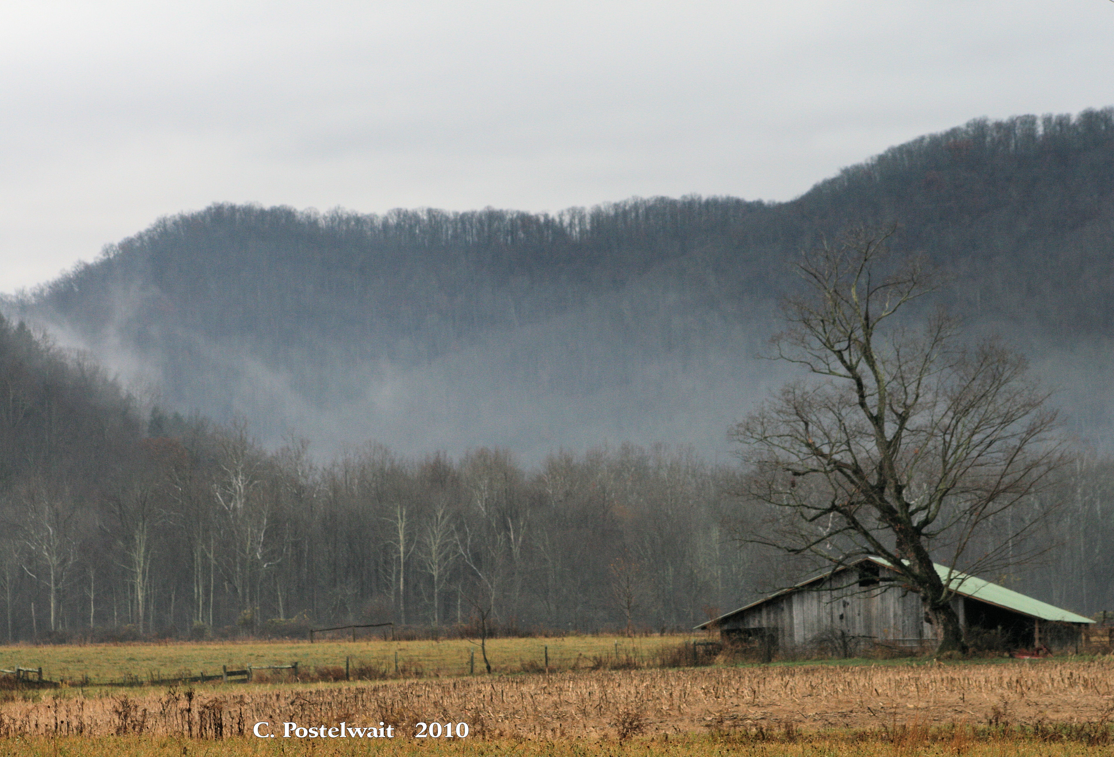
Foggy Farm Scene
2010-07-17_11-36-18Cheat River Falls on Salamander Trip 2010-07-17_11-36-18DSC_0440

Trying To Outrun The Rain
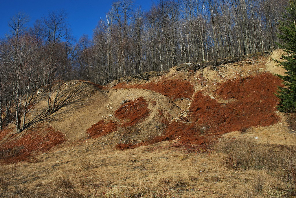
Strip Mine Trail TR350
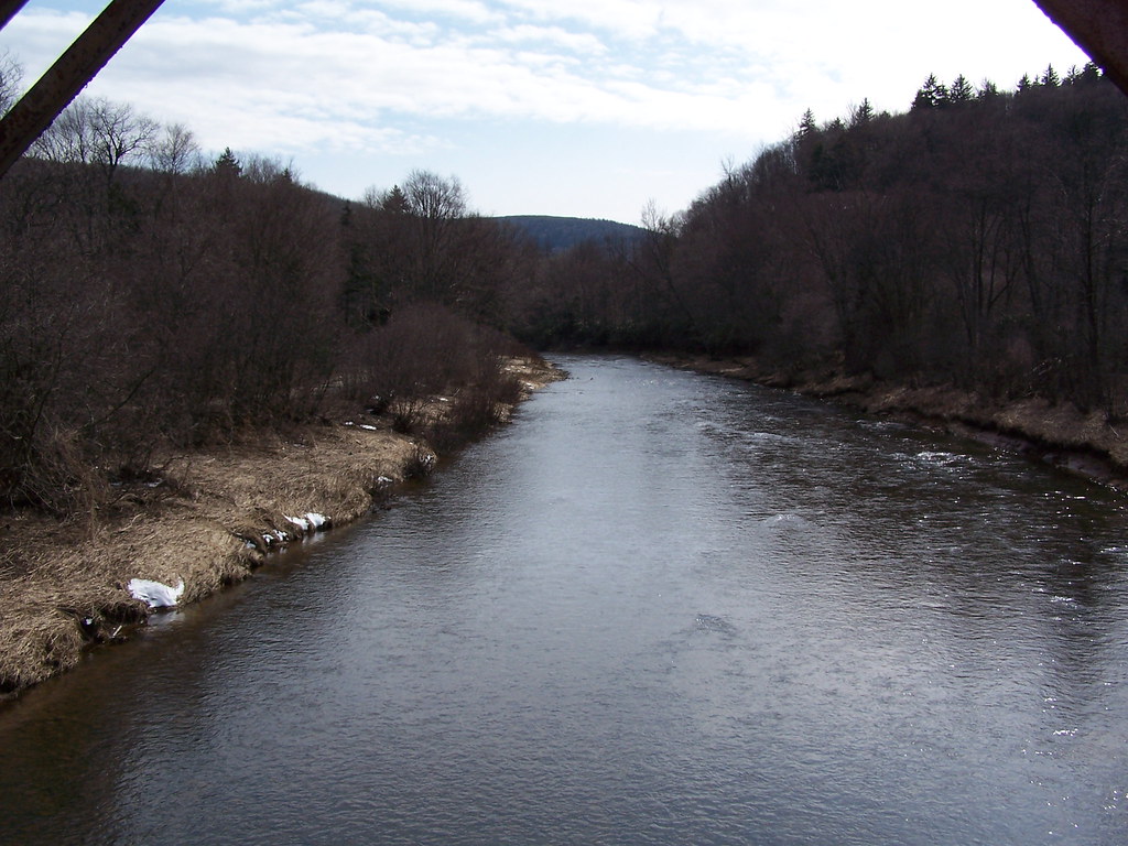
Shavers Fork Cheat River Image 1 3-16-2006 Photo

170918-FS-Monongahela-KMB-001

Shavers Fork
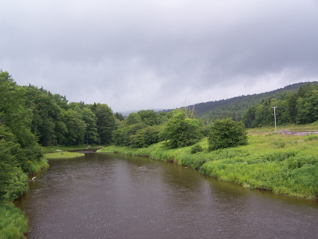
Shavers Fork at Cheat Bridge
Strip Mine Trail TR350

Strip Mine Trail TR350
Topographic Map of Huttonsville, WV, USA
Find elevation by address:

Places near Huttonsville, WV, USA:
Huttonsville
Huttonsville
Mill Creek
Durbin
Valley Bend, WV, USA
Cottage Hill Ln, Beverly, WV, USA
Beverly, WV, USA
Burgess Mobile Home Park
Valley Head
Beverly
Left Fork Files Creek
Randolph County
Greenbank
Rich Mountain Road
Valley Head, WV, USA
Mingo
Saulsbury Run Road
Bald Knob
Rich Mountain Battlefield
Beverly
Recent Searches:
- Elevation of Tenjo, Cundinamarca, Colombia
- Elevation of Côte-des-Neiges, Montreal, QC H4A 3J6, Canada
- Elevation of Bobcat Dr, Helena, MT, USA
- Elevation of Zu den Ihlowbergen, Althüttendorf, Germany
- Elevation of Badaber, Peshawar, Khyber Pakhtunkhwa, Pakistan
- Elevation of SE Heron Loop, Lincoln City, OR, USA
- Elevation of Slanický ostrov, 01 Námestovo, Slovakia
- Elevation of Spaceport America, Co Rd A, Truth or Consequences, NM, USA
- Elevation of Warwick, RI, USA
- Elevation of Fern Rd, Whitmore, CA, USA