Elevation of Cottage Hill Ln, Beverly, WV, USA
Location: United States > West Virginia > Randolph County >
Longitude: -79.878069
Latitude: 38.8110429
Elevation: 630m / 2067feet
Barometric Pressure: 94KPa
Elevation Map:
Satellite Map:
Related Photos:

Cheat Mountain Salamander 04

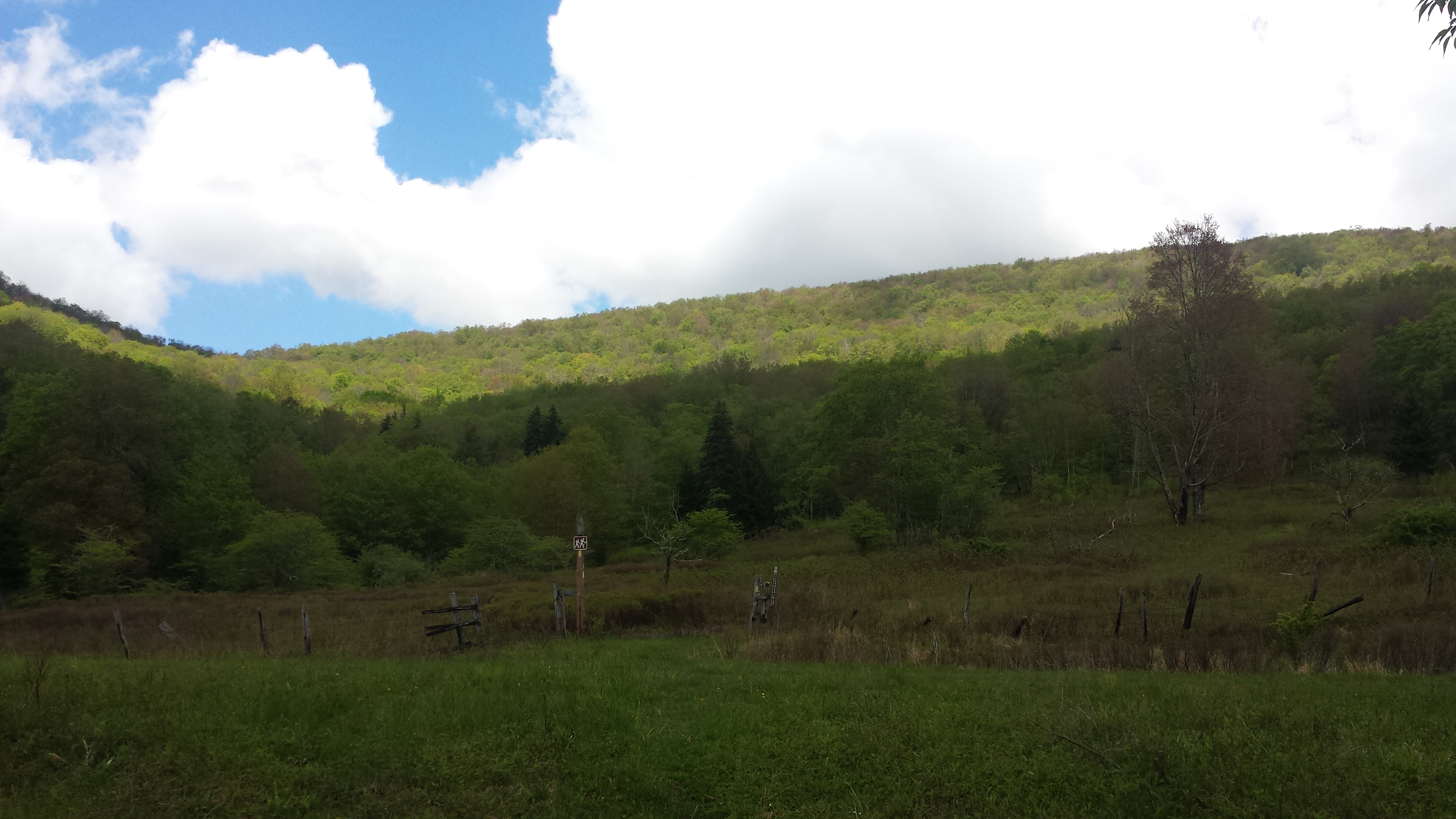
Roadside view

Cheat Mountain Salamander 03

Roadside View 2

Storm grate - 200 block of Randolph Street - Elkins, West Virginia

Moth - Detail
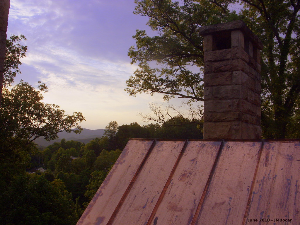
A View from Graceland
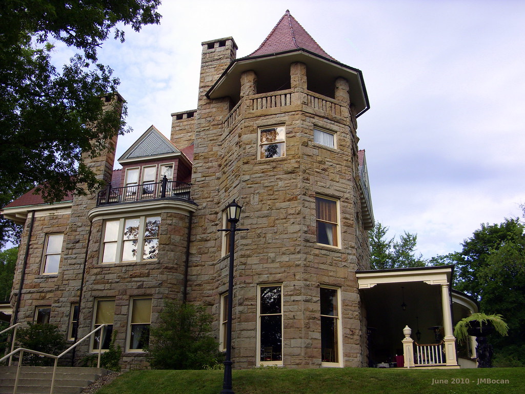
Graceland Inn - Side View

Halliehurst Hall - Back View
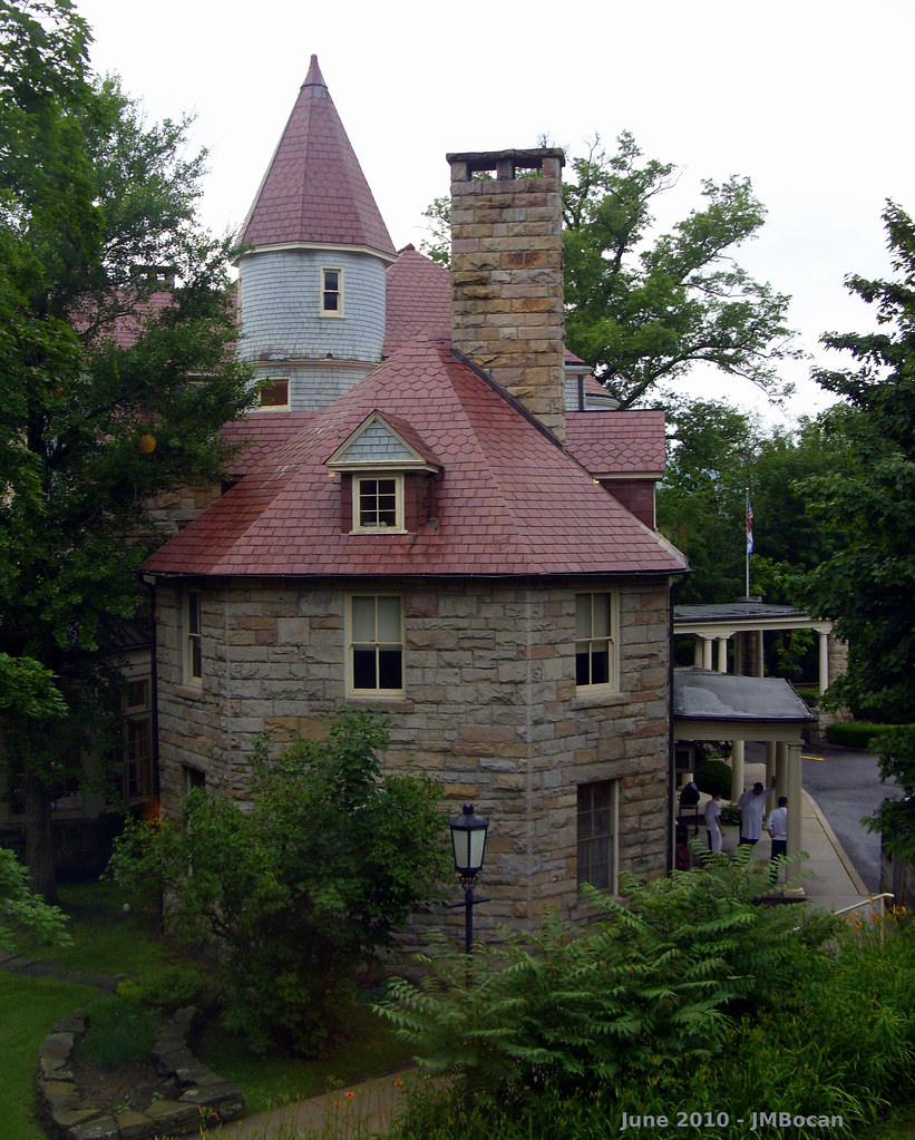
Graceland - Side View

DSCS702346.JPG
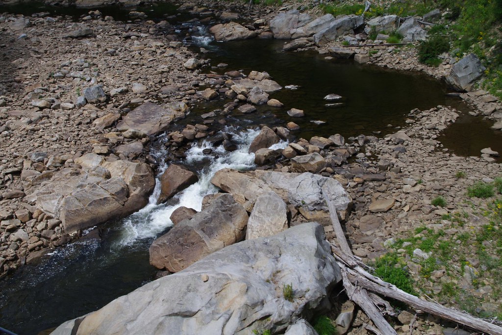
Shavers Fork
West Virginia
Seven easy pieces
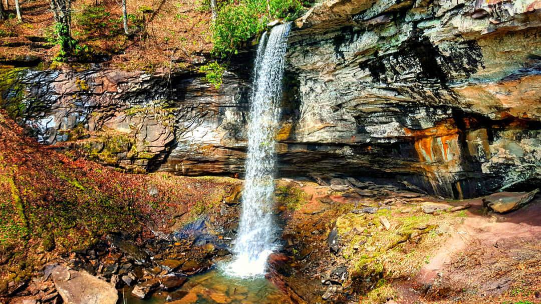
The 63 foot lower falls at Falls of Hills Creek ???? #waterfall #gotowv #wv #nature #everytrailconnects
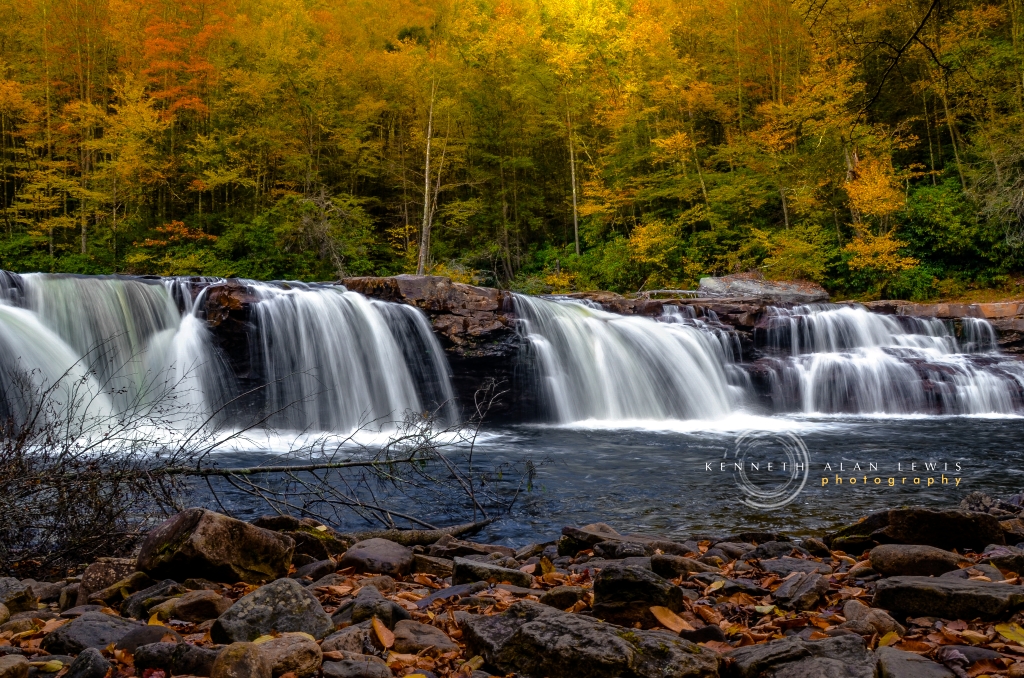
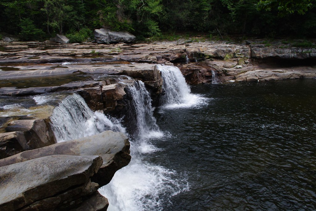
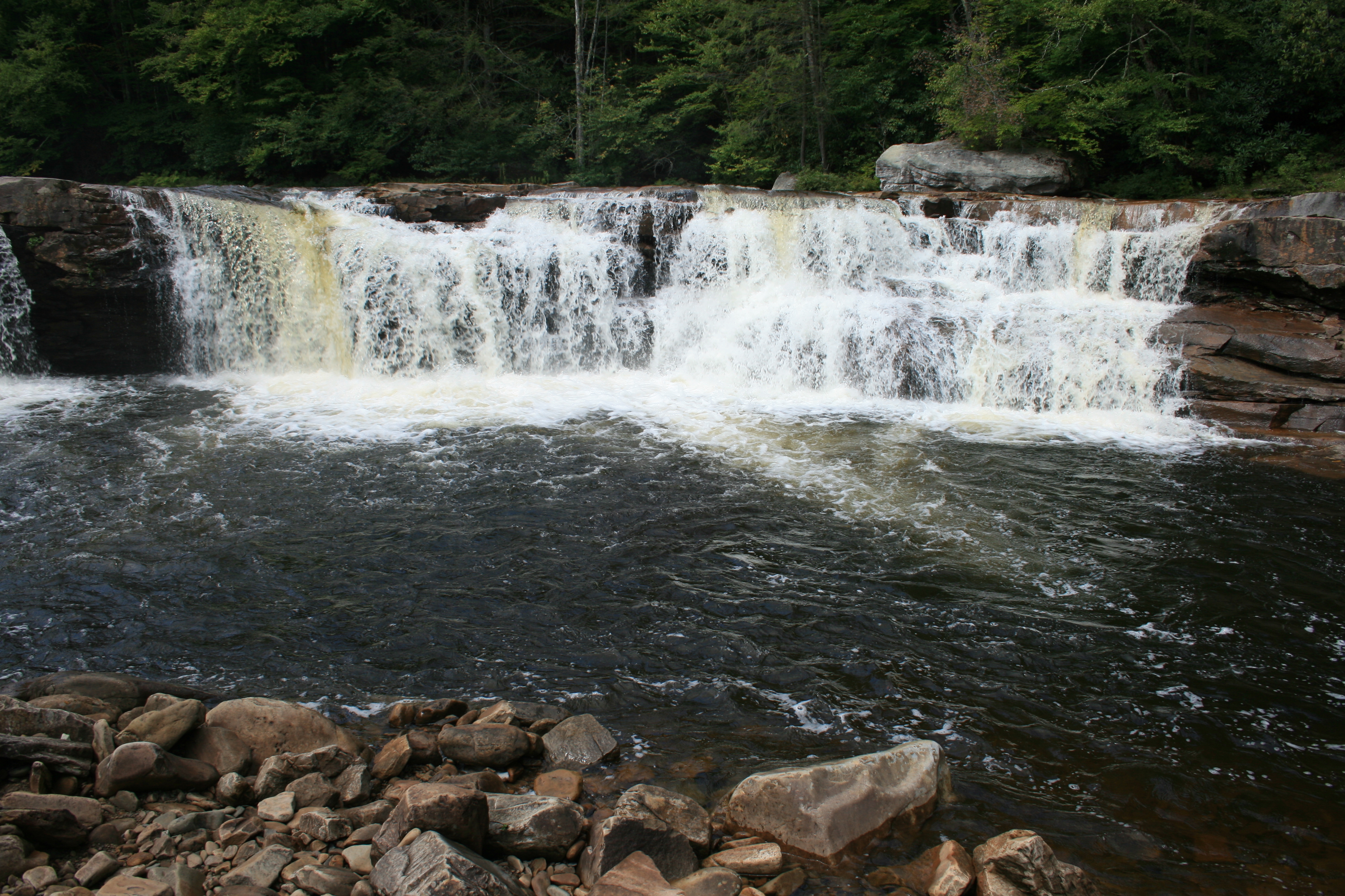
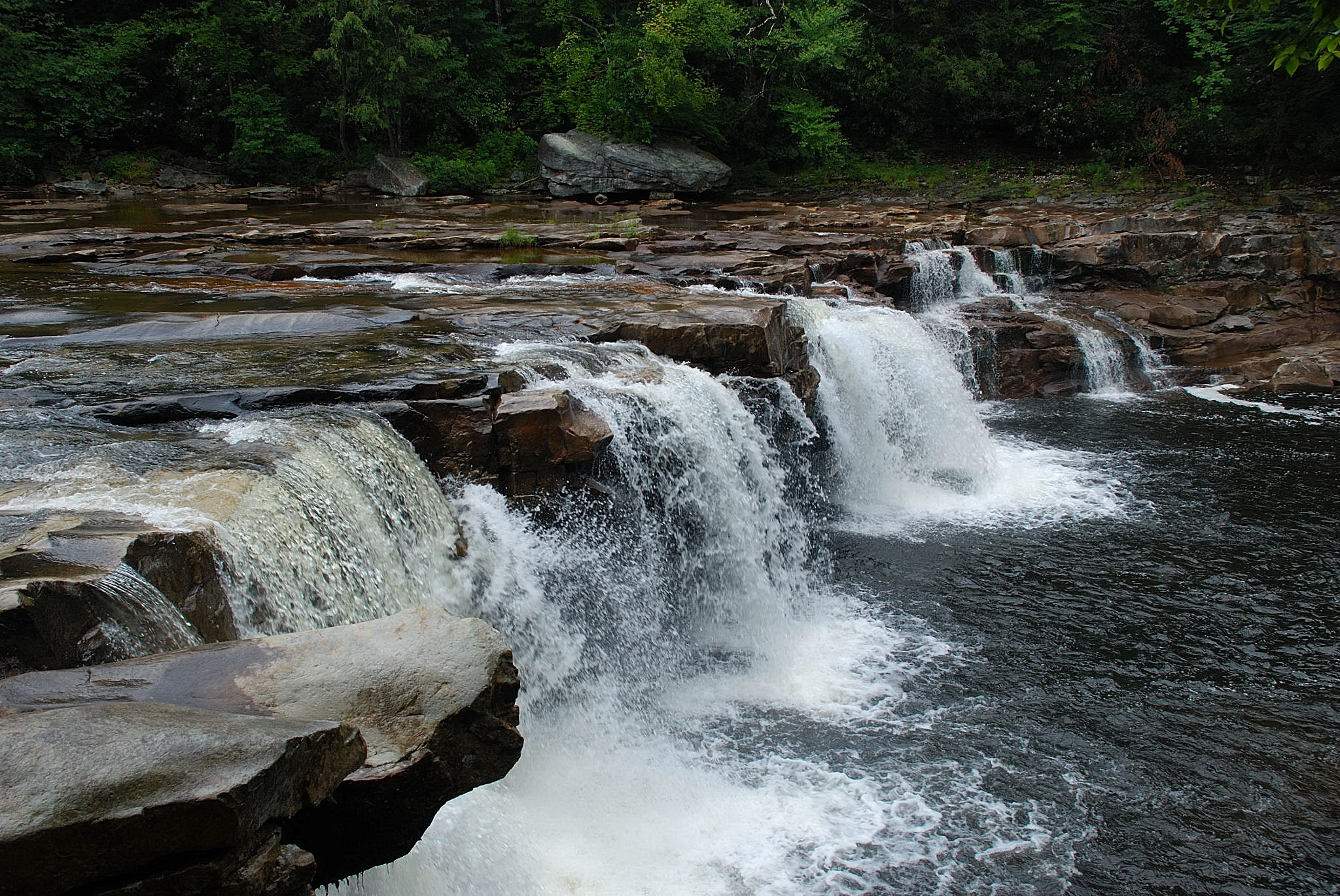
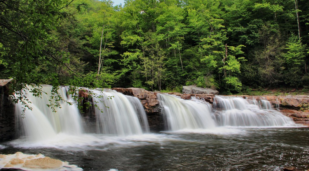
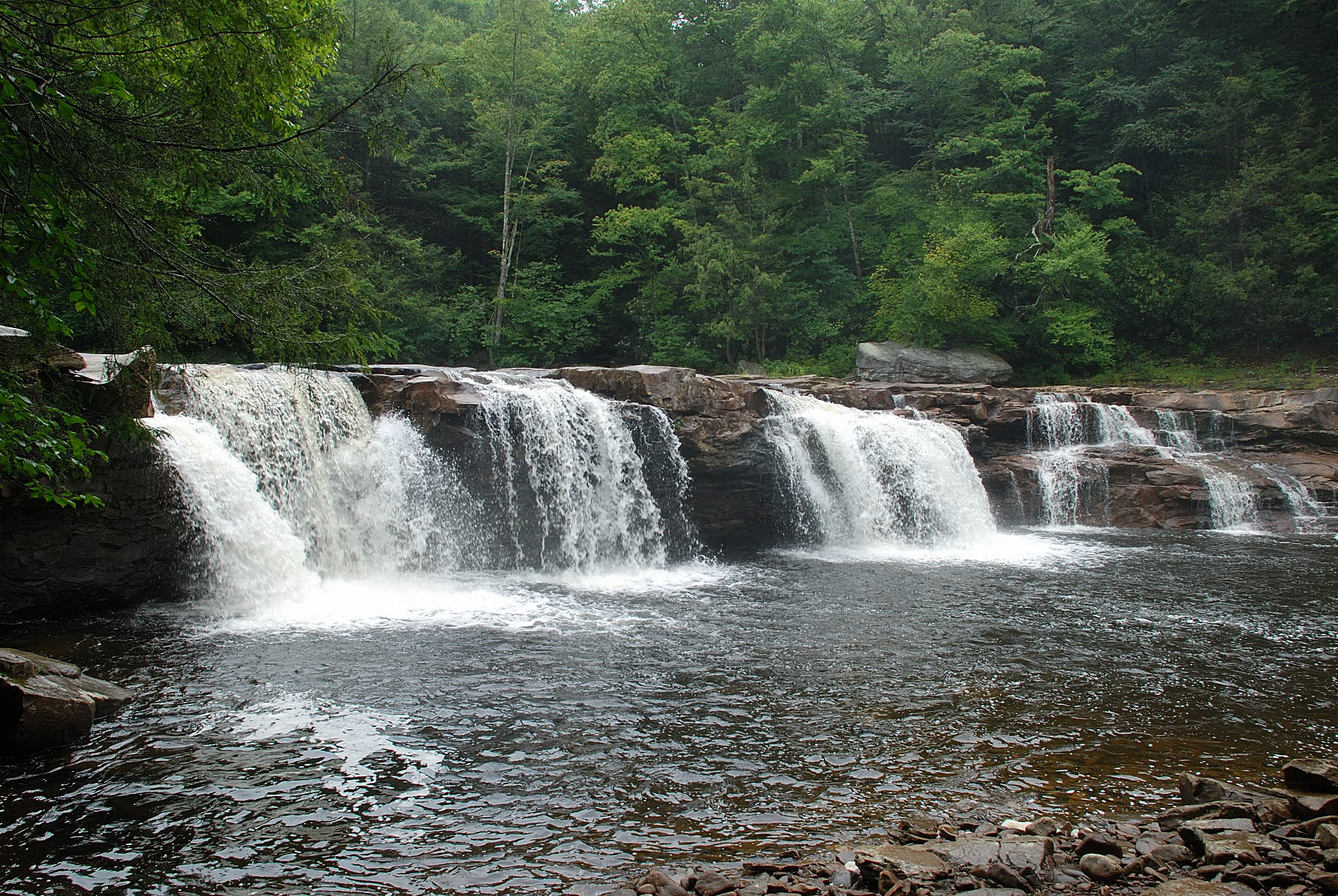
High Falls of the Cheat
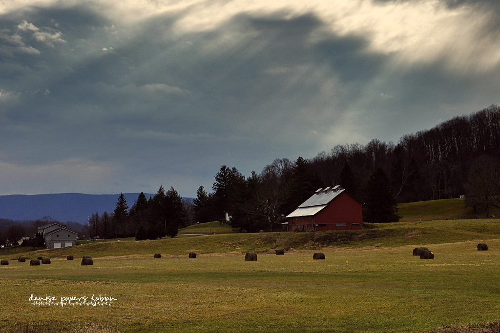
Rays of Country Goodness
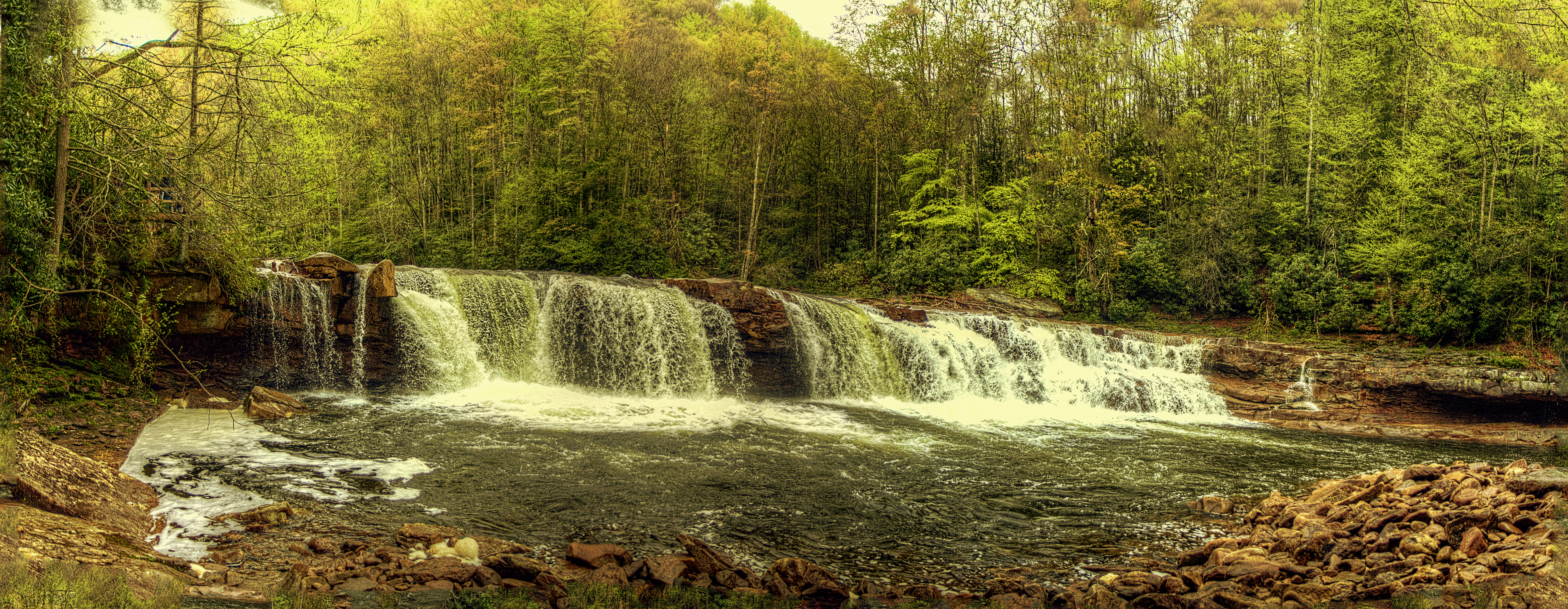
High Falls of the Cheat River
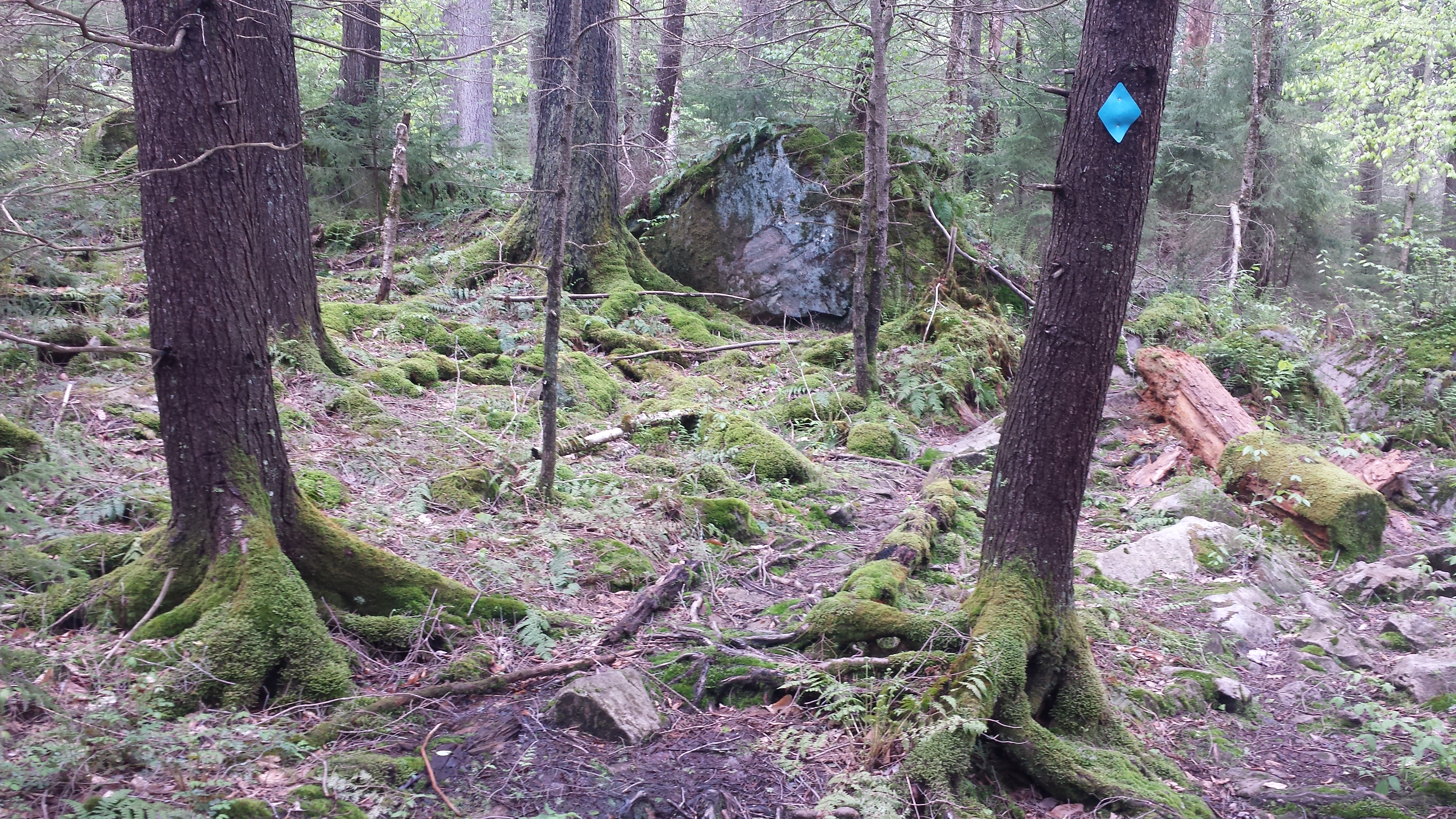
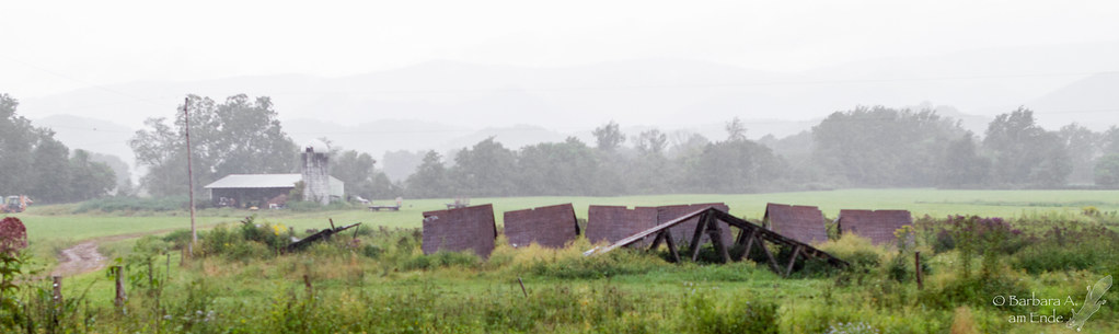
Monongahela hiking trip
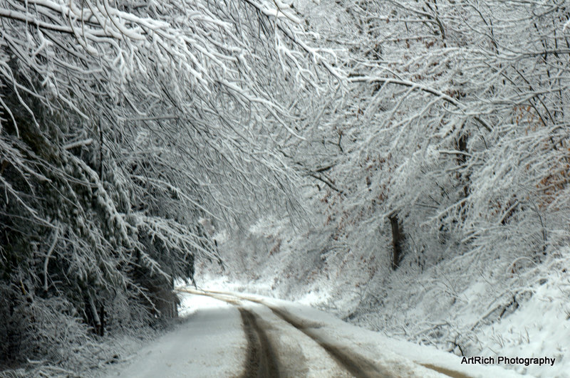
Driving in a winter wonderland
High Falls from Above
High River Falls.
2010-07-17_11-31-20Cheat River Falls on Salamander Trip 2010-07-17_11-31-20DSC_0429
Focused in.
Cheat Mountain Salamander 05

14/365
2010-07-17_11-36-18Cheat River Falls on Salamander Trip 2010-07-17_11-36-18DSC_0440
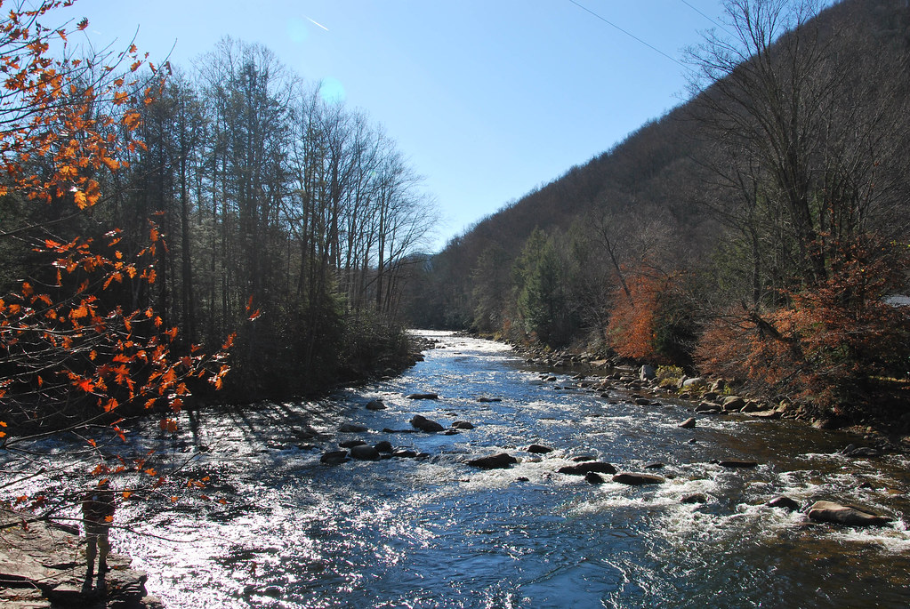
Shavers Fork at Bemis, WV
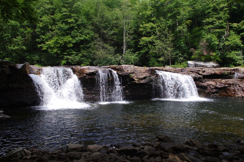
High Falls of Cheat
Monongahela hiking trip
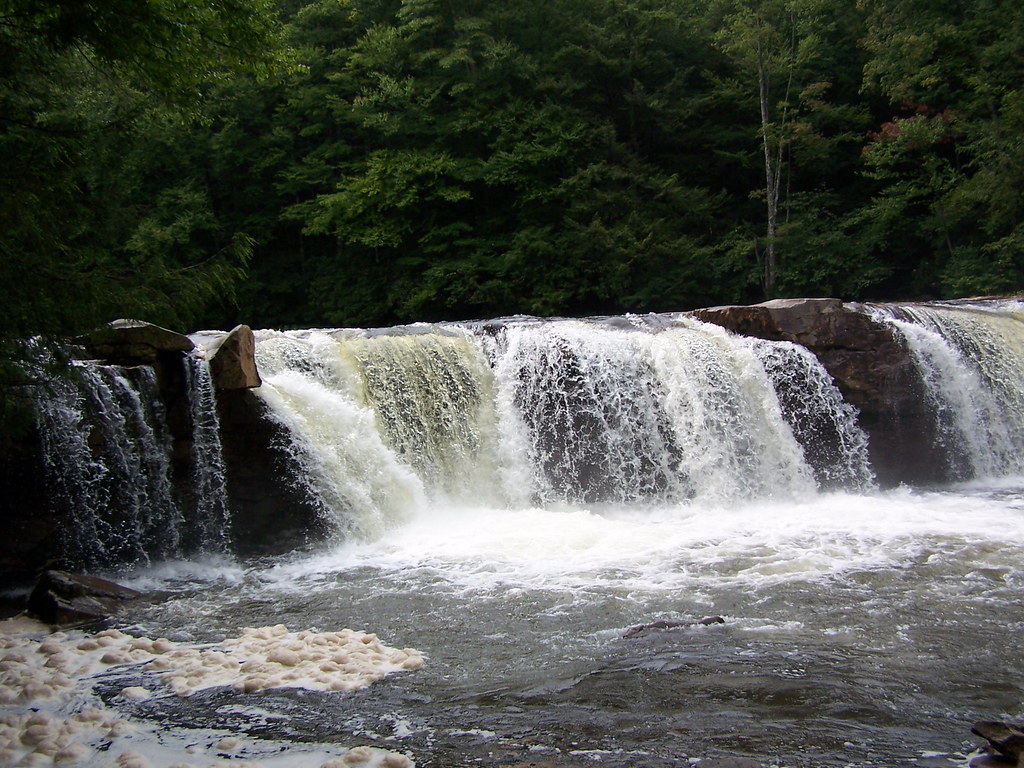
High Falls
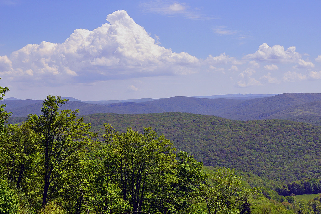
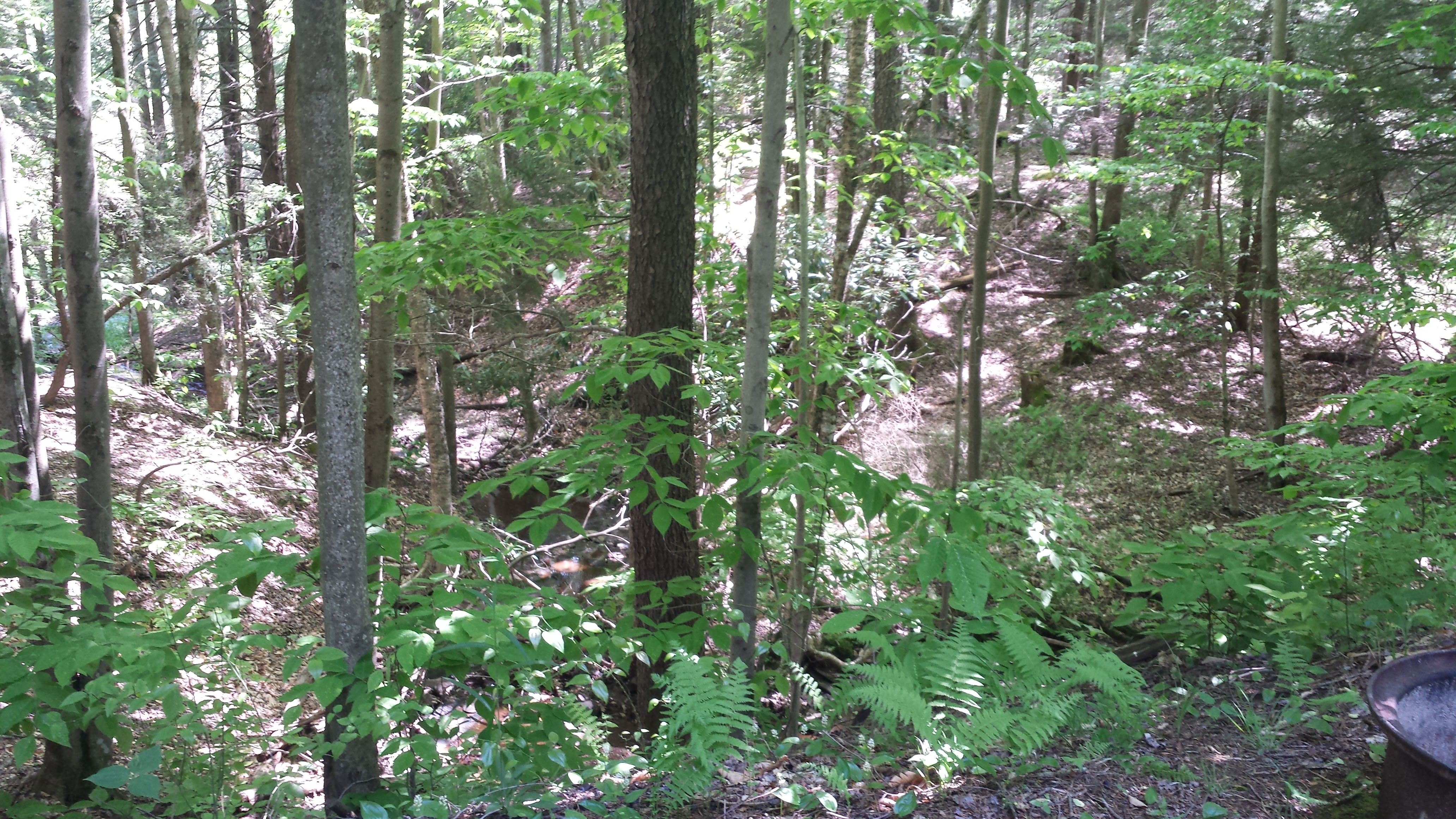
Cheat Mountain
Topographic Map of Cottage Hill Ln, Beverly, WV, USA
Find elevation by address:

Places near Cottage Hill Ln, Beverly, WV, USA:
Burgess Mobile Home Park
Beverly, WV, USA
Beverly
Rich Mountain Road
Valley Bend, WV, USA
Left Fork Files Creek
Rich Mountain Battlefield
Beverly
E 3rd St, Elkins, WV, USA
Kelly Mountain Road
2000 Livingston Ave
Elkins Depot Welcome Center
Elkins
101 Lincoln Ave
Mill Creek
Davis & Elkins College
200 Sycamore St
Coalton
Randolph County
Leadsville
Recent Searches:
- Elevation of 62 Abbey St, Marshfield, MA, USA
- Elevation of Fernwood, Bradenton, FL, USA
- Elevation of Felindre, Swansea SA5 7LU, UK
- Elevation of Leyte Industrial Development Estate, Isabel, Leyte, Philippines
- Elevation of W Granada St, Tampa, FL, USA
- Elevation of Pykes Down, Ivybridge PL21 0BY, UK
- Elevation of Jalan Senandin, Lutong, Miri, Sarawak, Malaysia
- Elevation of Bilohirs'k
- Elevation of 30 Oak Lawn Dr, Barkhamsted, CT, USA
- Elevation of Luther Road, Luther Rd, Auburn, CA, USA