Elevation of Humbard Rd SE, Cleveland, TN, USA
Location: United States > Tennessee > Bradley County > Cleveland >
Longitude: -84.858282
Latitude: 35.02002
Elevation: 241m / 791feet
Barometric Pressure: 98KPa
Elevation Map:
Satellite Map:
Related Photos:
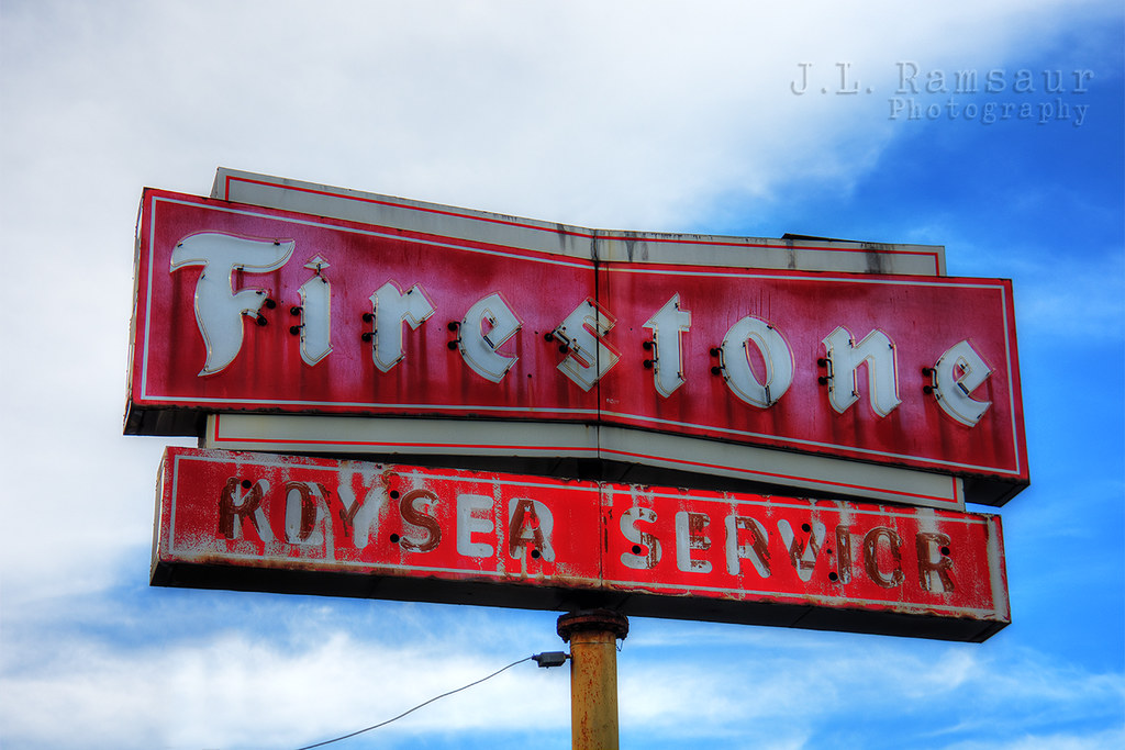
Vintage Firestone Sign

Graves at Liberty Cemetery in Tennga, Georgia
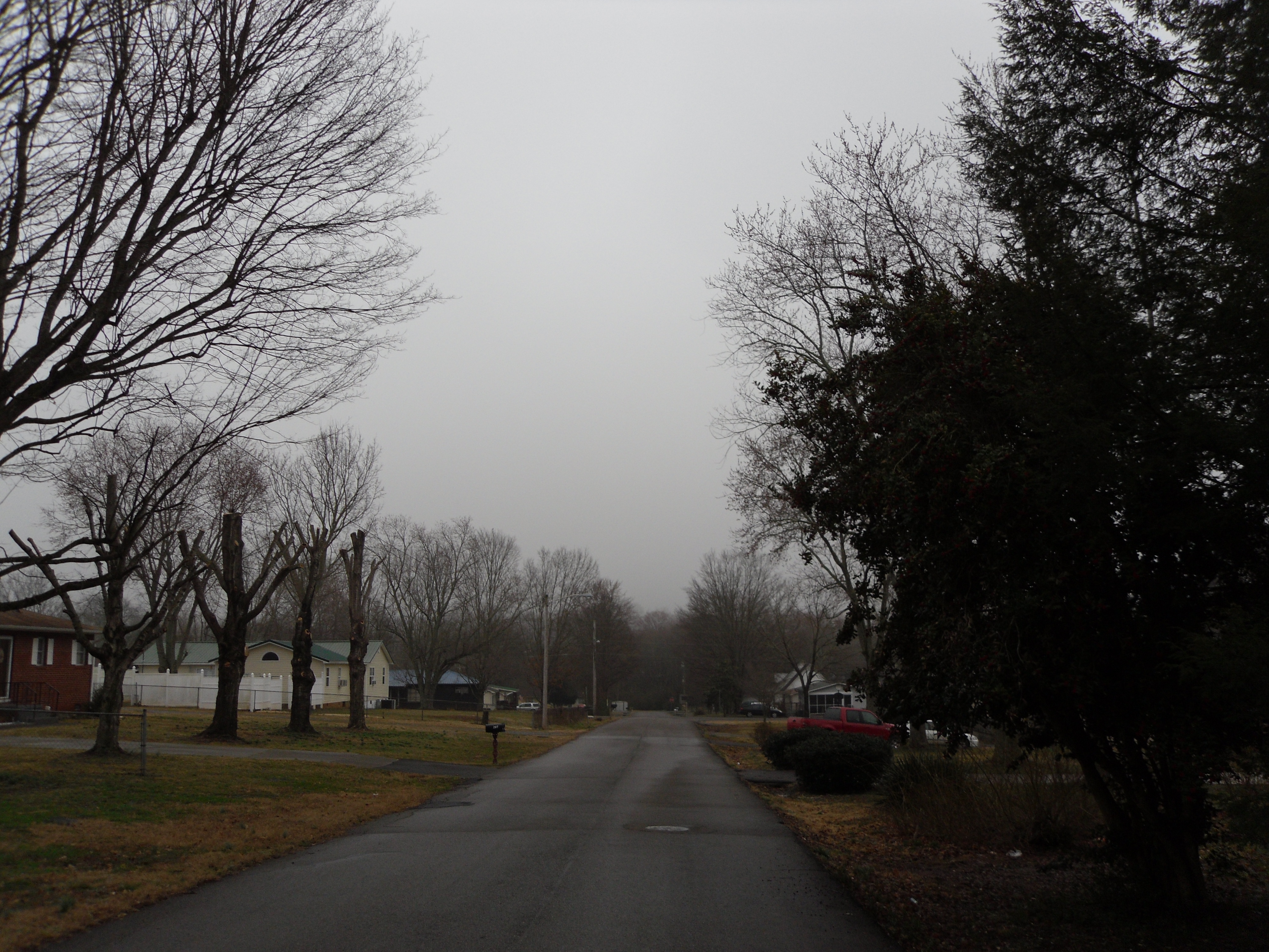
My Street
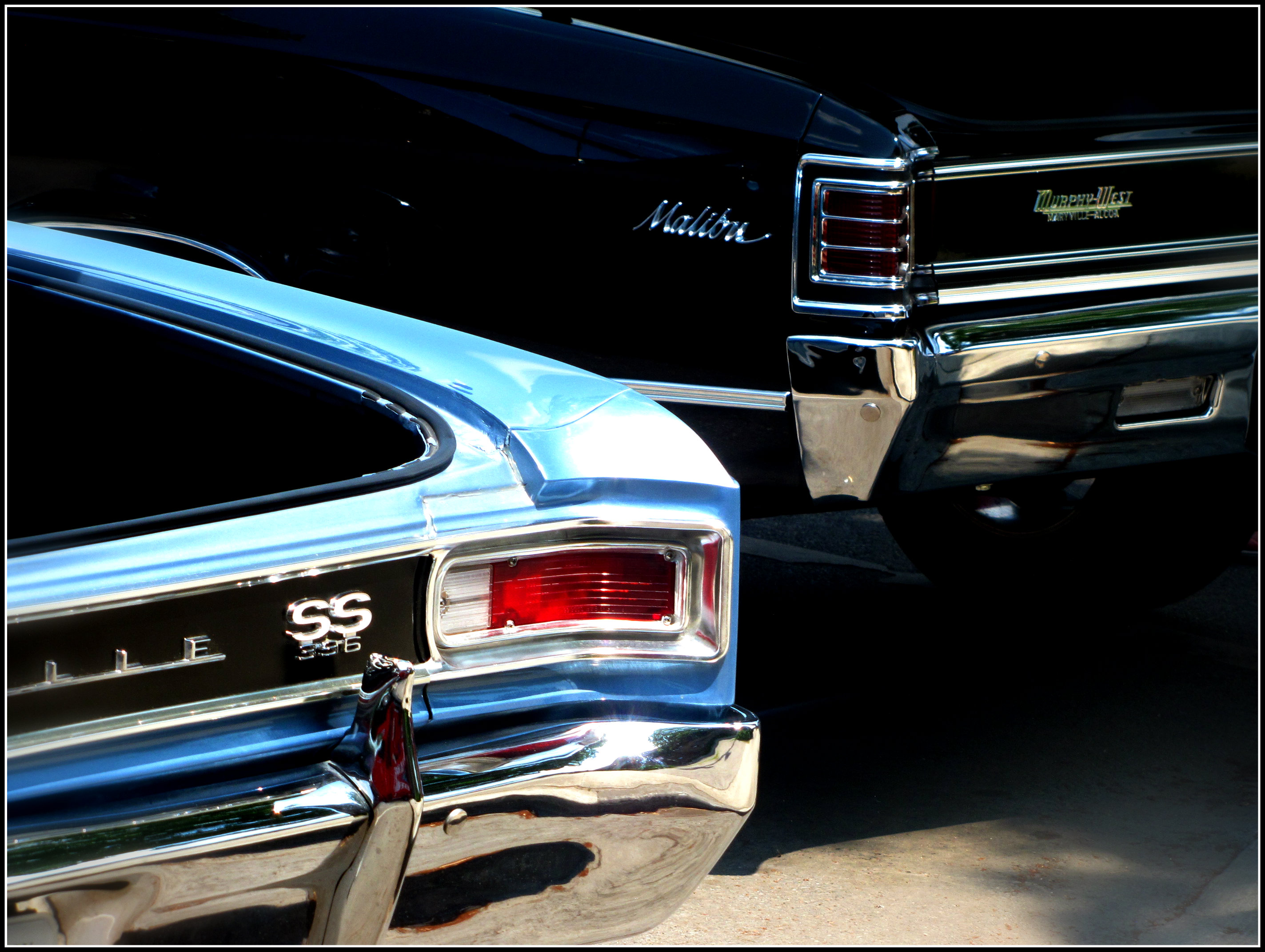
Tail of Two Chevelles
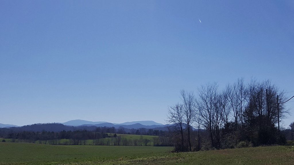
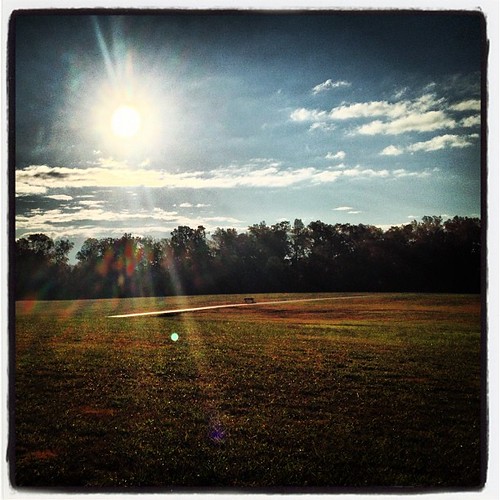
Happy Georgia Mountains Sunday

N4AOW Observation Tower Hamshack
Pseudo Pano
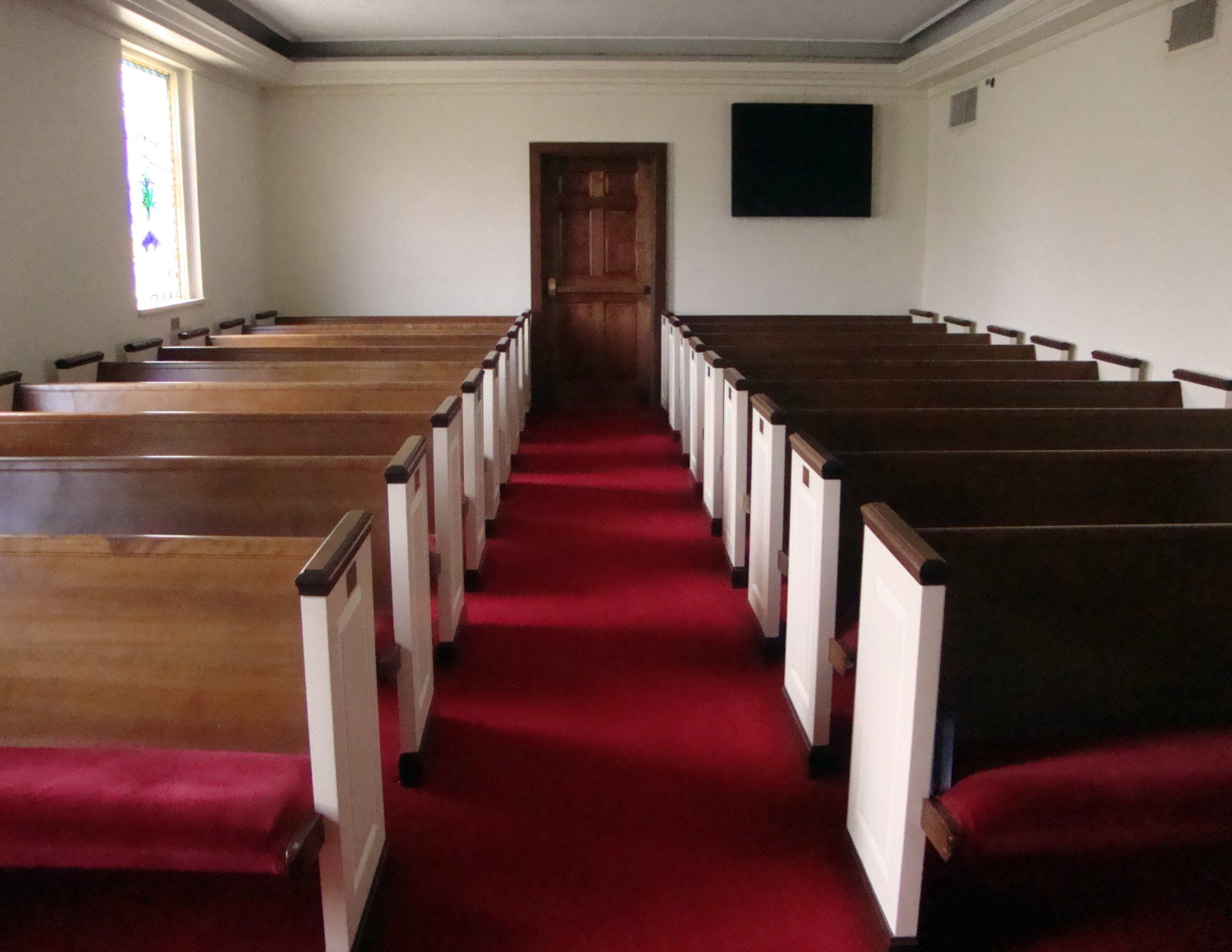
Chapel (47)

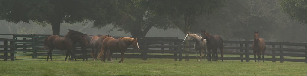
Beyond the Fence
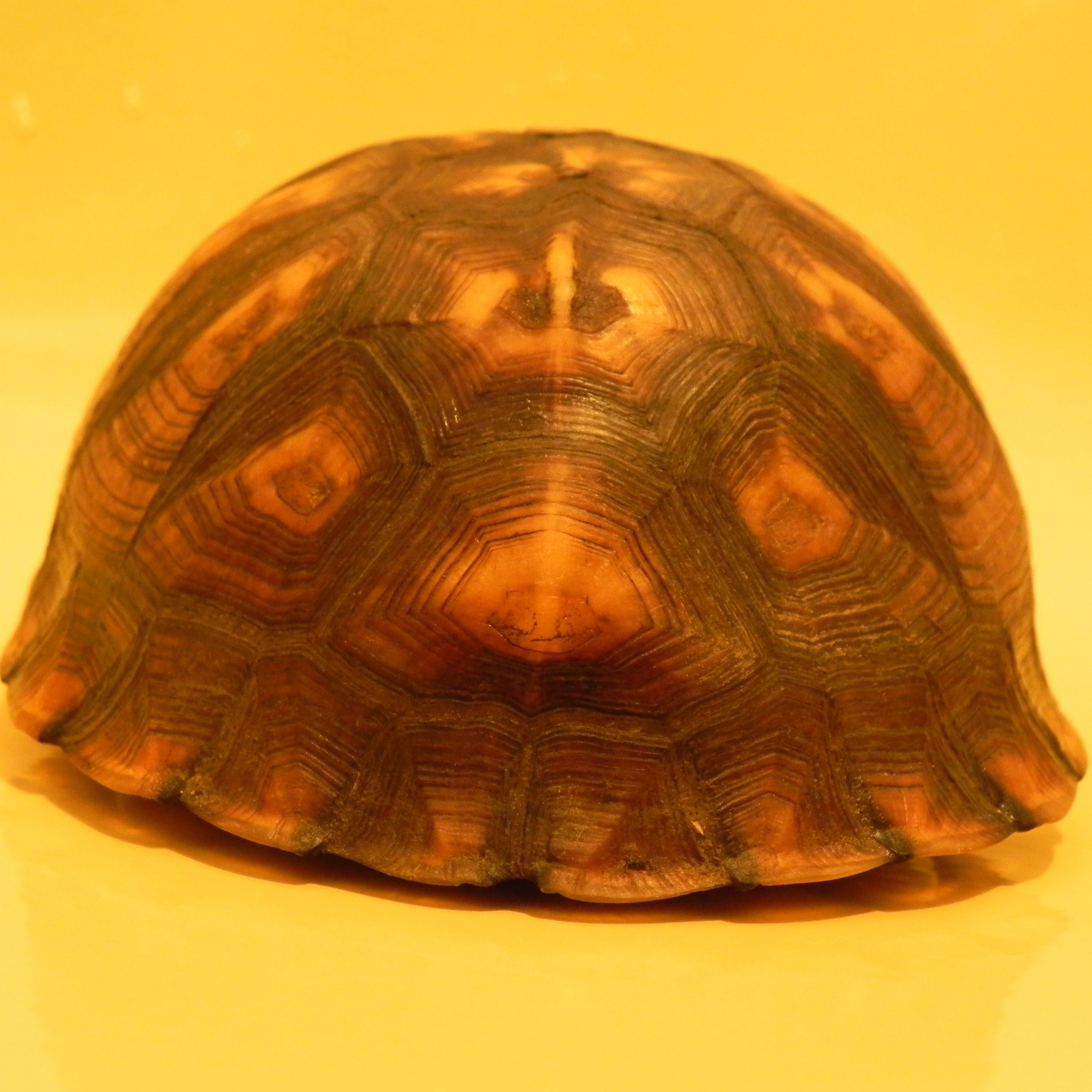
Tennessee Box Turtle Rear View
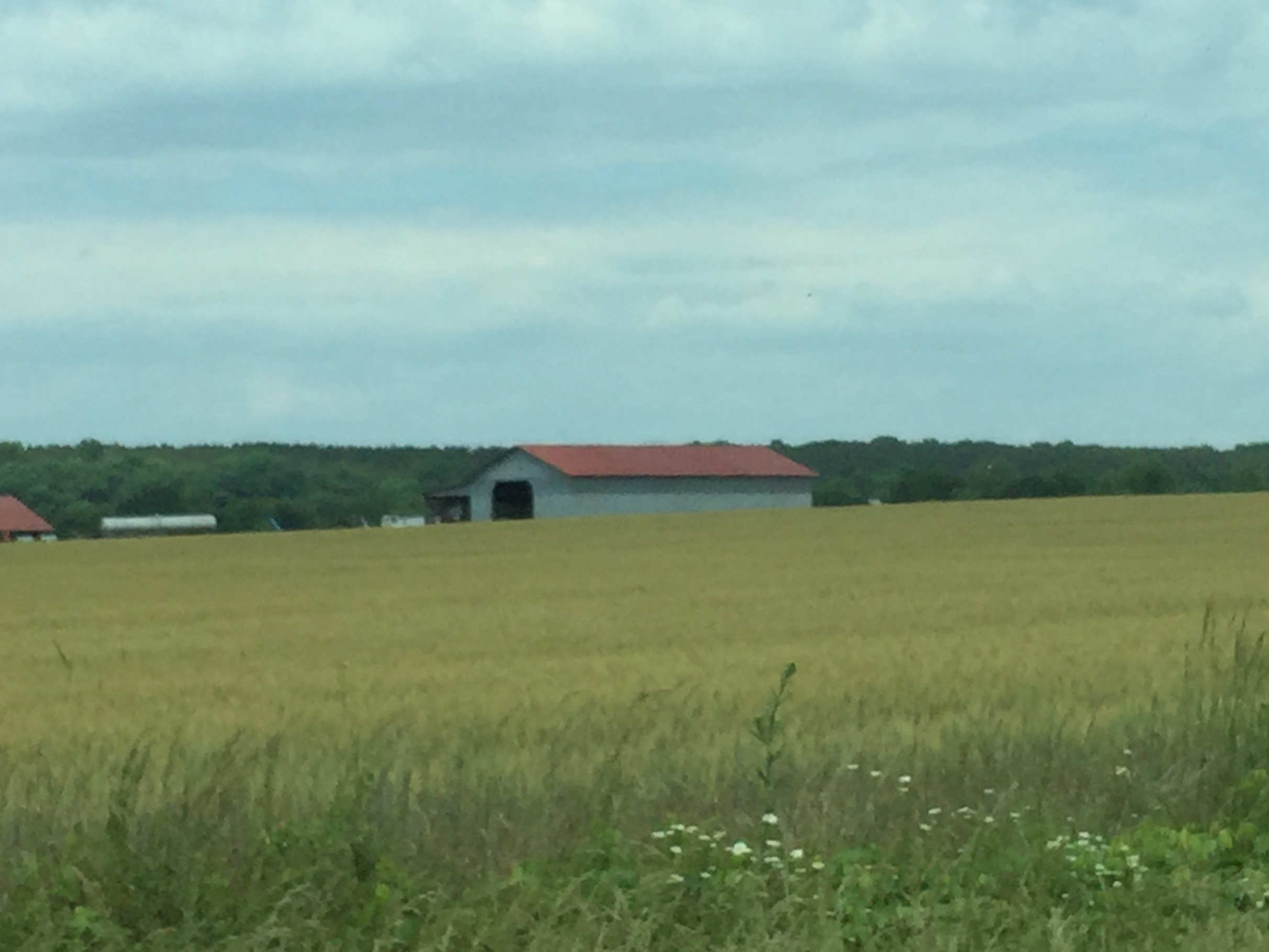
Field & Barn in Tennessee

Fern Valley on tree
#landscape

Polk County, Tennessee
Sumach Cumberland Presbyterian Church Cemetery

Sumach Cumberland Presbyterian Church Cemetery
Corn Field & Mountains on Easley Ford Road
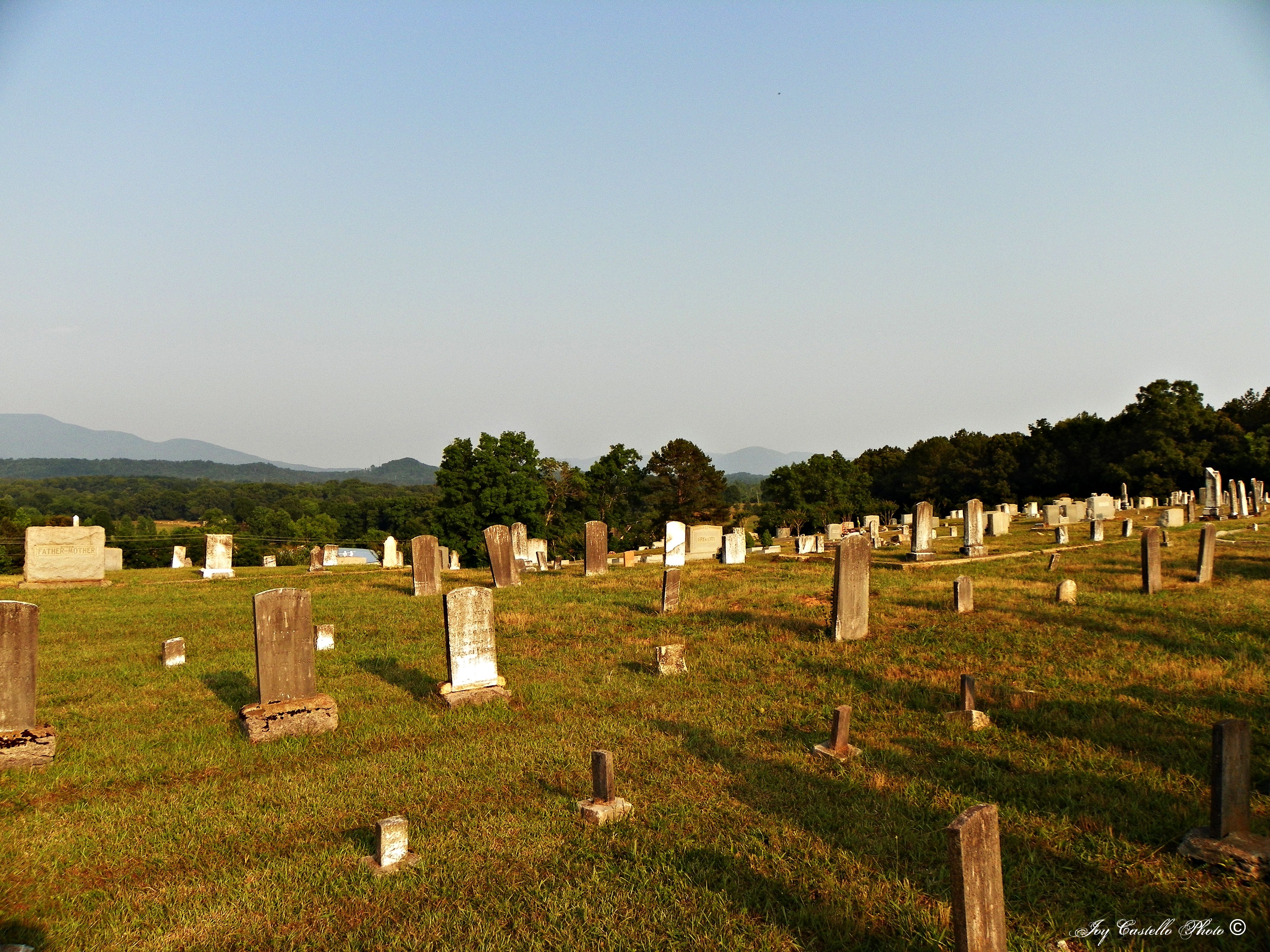
Sumach Cumberland Presbyterian Church Cemetery

Day 107 - Prater's Mill Waterfall

Fort Hill Cemetery

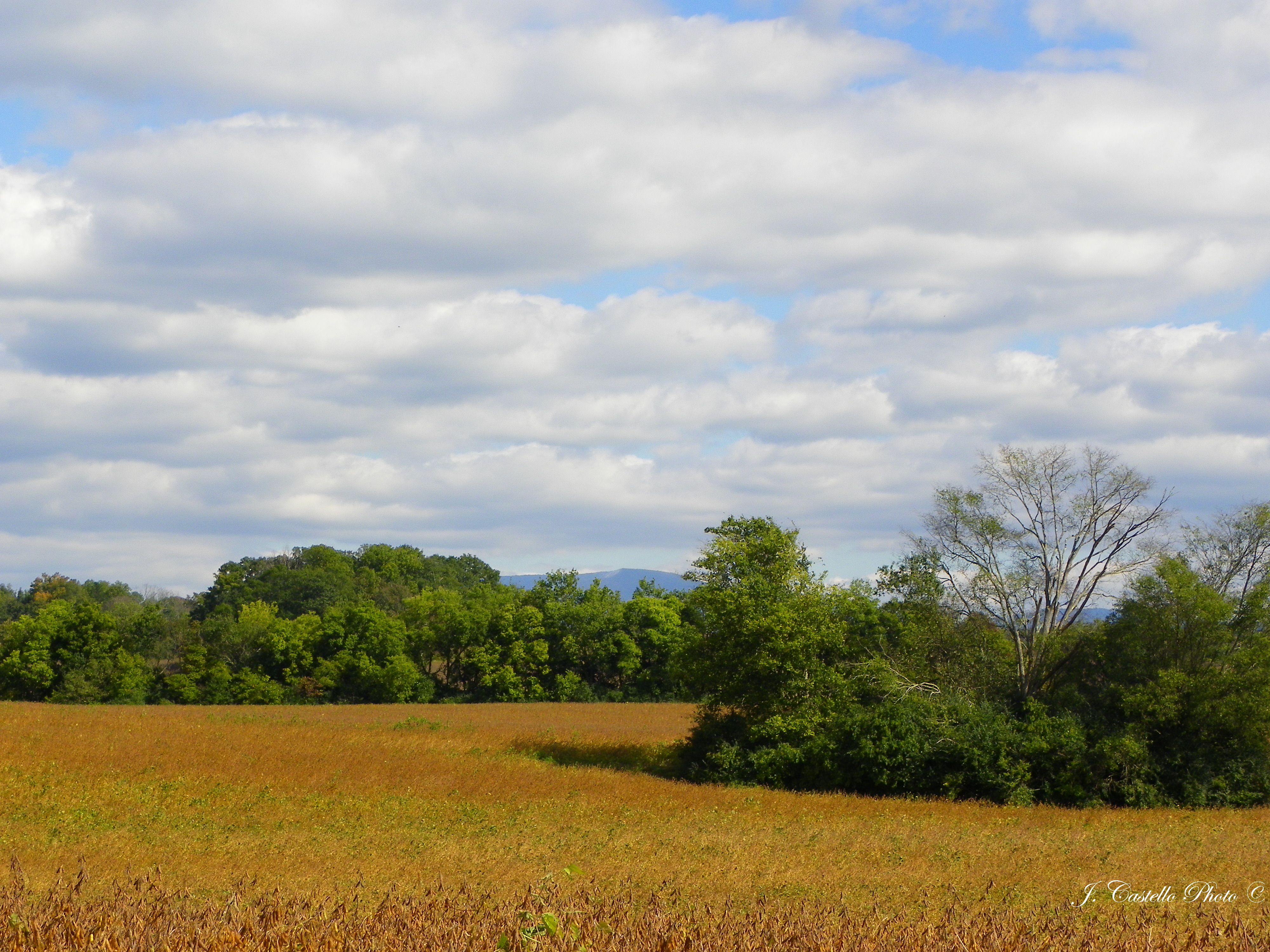
Corn Field on Easley Ford Road
blue hole spring
Highway 225 Spring, Murray County, Georgia 1
AB4N Geocache

Lovely dark and deep
red clay state park

Fall Creek Falls
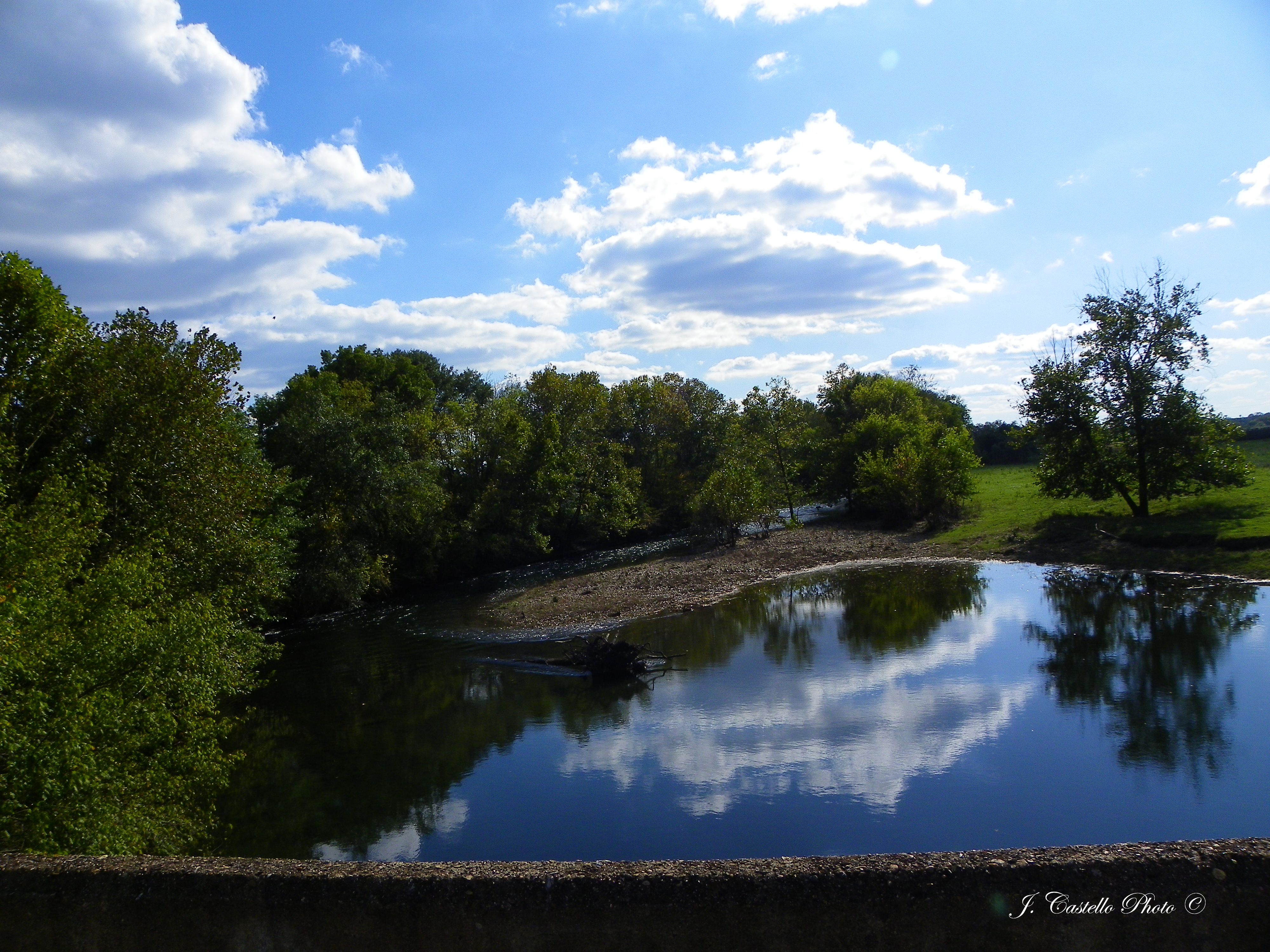
Conasauga River

Corn Field on Easley Ford Road
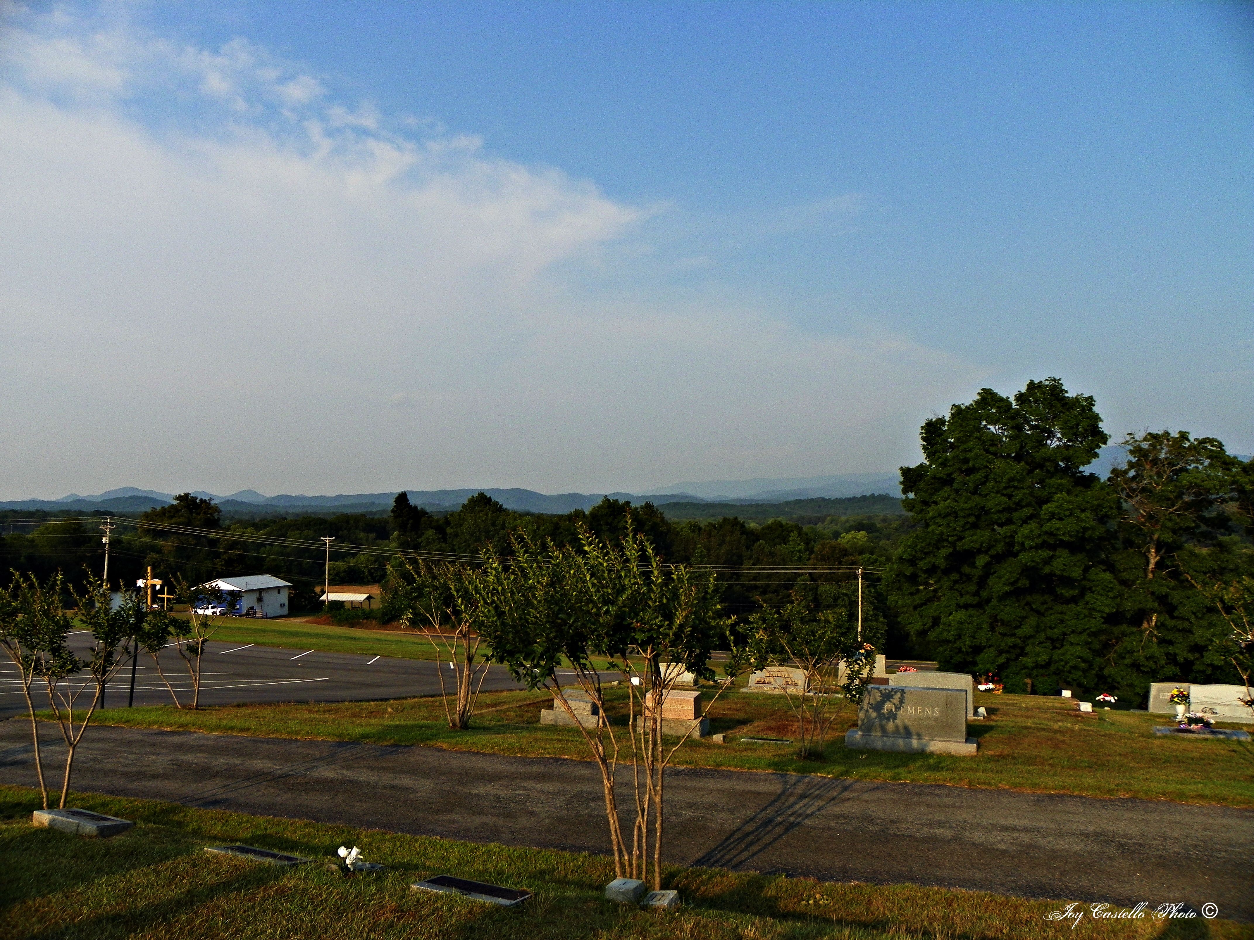
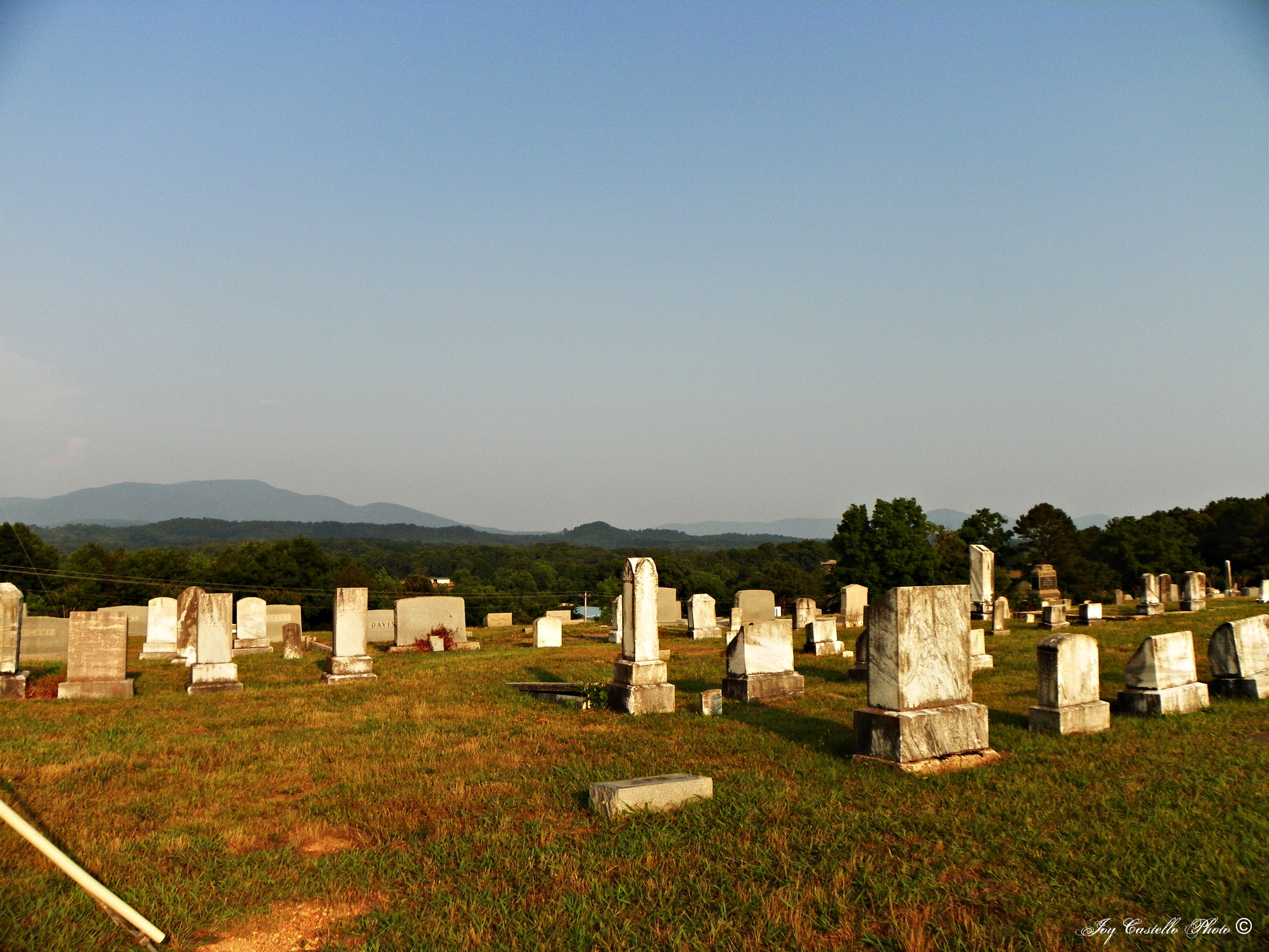
Mountains: Taken From Sumach Cumberland Presbyterian Church Cemtery
Red Clay State Park
Topographic Map of Humbard Rd SE, Cleveland, TN, USA
Find elevation by address:

Places near Humbard Rd SE, Cleveland, TN, USA:
1848 Keith Valley Rd Se
302 Goodwill Rd Se
6776 Blue Springs Rd
487 Farmway Dr Se
Old Blue Springs Rd SE, Cleveland, TN, USA
1890 Plantation Dr Se
140 Ladd Springs Rd Se
Red Clay Rd, Cohutta, GA, USA
3566 Shadowood Dr Se
559 White Rd
SE Dockery St, Cleveland, TN, USA
South Cleveland
135 Mee Ln Se
Old Lead Mine Valley Road Southwest
Scenic Drive Southeast
163 Eleanor Dr Sw
1623 Tunnel Hill Rd Sw
14 Pine St N, Crandall, GA, USA
Old Fort
Varnell Rd, Cleveland, TN, USA
Recent Searches:
- Elevation of 7 Waterfall Way, Tomball, TX, USA
- Elevation of SW 57th Ave, Portland, OR, USA
- Elevation of Crocker Dr, Vacaville, CA, USA
- Elevation of Pu Ngaol Community Meeting Hall, HWHM+3X7, Krong Saen Monourom, Cambodia
- Elevation of Royal Ontario Museum, Queens Park, Toronto, ON M5S 2C6, Canada
- Elevation of Groblershoop, South Africa
- Elevation of Power Generation Enterprises | Industrial Diesel Generators, Oak Ave, Canyon Country, CA, USA
- Elevation of Chesaw Rd, Oroville, WA, USA
- Elevation of N, Mt Pleasant, UT, USA
- Elevation of 6 Rue Jules Ferry, Beausoleil, France