Elevation of Red Clay Rd, Cohutta, GA, USA
Location: United States > Georgia > Whitfield County > Cohutta >
Longitude: -84.94596
Latitude: 34.984863
Elevation: 253m / 830feet
Barometric Pressure: 98KPa
Elevation Map:
Satellite Map:
Related Photos:

The Lost County of Tennessee - James County, TN Courthouse

N4AOW Observation Tower Hamshack

IMG_0318.jpg

Red Dress

IMG_0321.jpg

Pseudo Pano

Clouding Up

Calvary Tombstones (17)
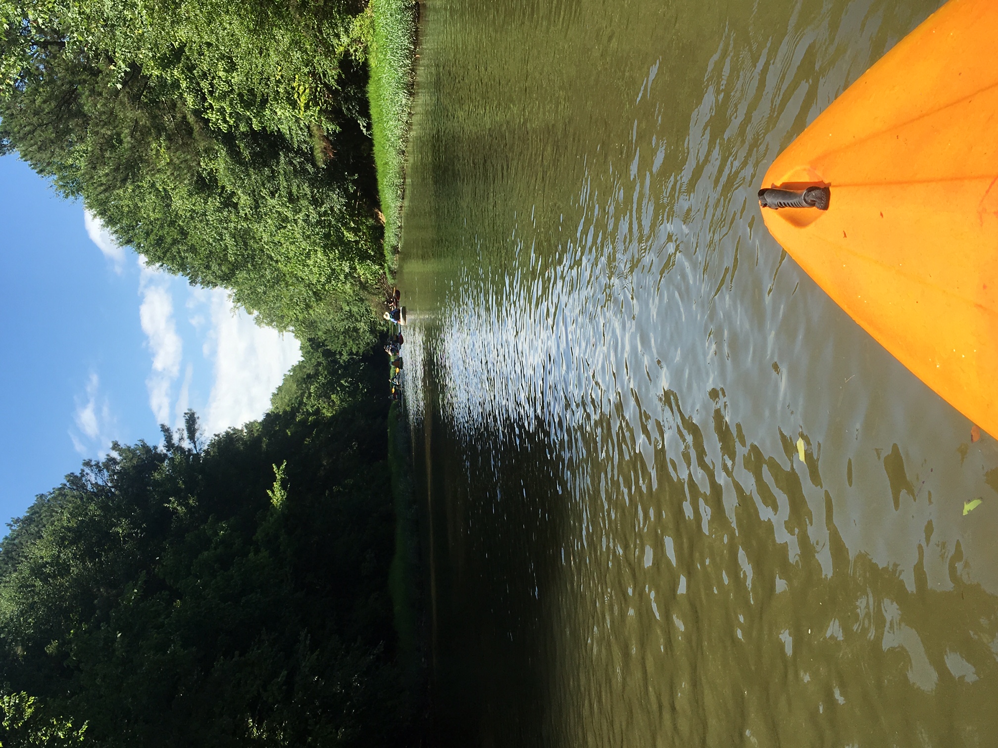
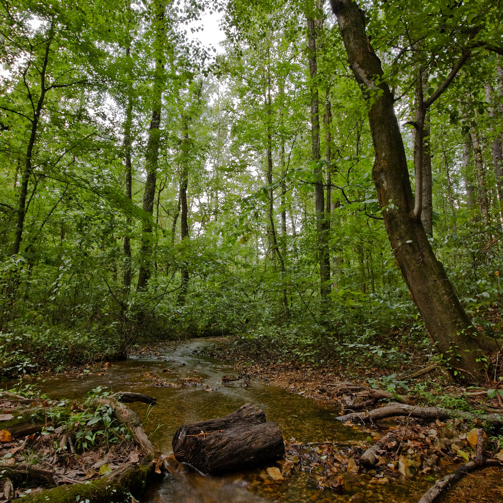
First two days on the Conasauga - PaddleGA2016
Mulberry Gap

#landscape

#sunset

#landscape

Falling Colors
Tunnel Hill

#macro #blurry #abstraction of a #landscape
Camera Roll-133

The Weekend Begins
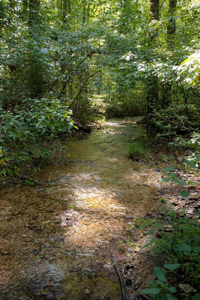
blue hole spring
blue hole spring

Heaven's Gates

Sunflowers at Grandmothers

Lovely dark and deep
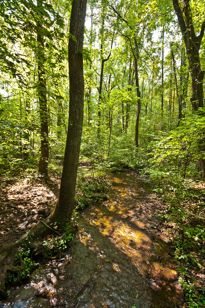
red clay state park
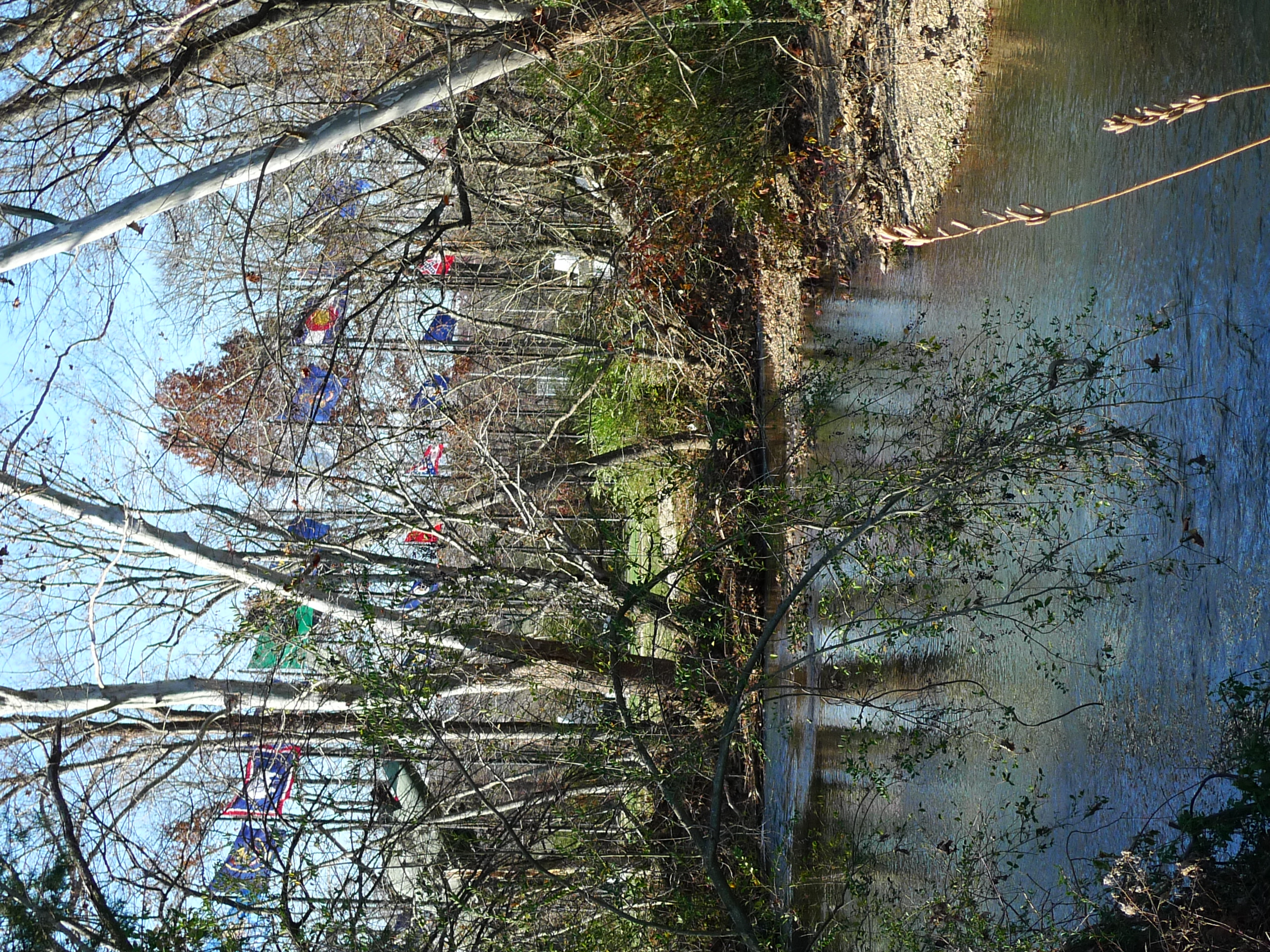
Flags along the creek
Highway 225 Spring, Murray County, Georgia 1

Fall Spotted Leaves
Topographic Map of Red Clay Rd, Cohutta, GA, USA
Find elevation by address:

Places near Red Clay Rd, Cohutta, GA, USA:
Old Lead Mine Valley Road Southwest
1623 Tunnel Hill Rd Sw
6776 Blue Springs Rd
5315 Howardsville Rd
11900 Country Estates Dr
5201 Bell Ridge Dr
Apison
London Lane
582 Humbard Rd Se
550 Pine Hill Rd
10726 Lonnie Ln
Old Blue Springs Rd SE, Cleveland, TN, USA
1848 Keith Valley Rd Se
487 Farmway Dr Se
Collegedale
Tucker Rd, Ooltewah, TN, USA
Old Chattanooga Pike, McDonald, TN, USA
Bowen Trail
Mcdonald
242 Bridgewater Dr
Recent Searches:
- Elevation of Kreuzburger Weg 13, Düsseldorf, Germany
- Elevation of Gateway Blvd SE, Canton, OH, USA
- Elevation of East W.T. Harris Boulevard, E W.T. Harris Blvd, Charlotte, NC, USA
- Elevation of West Sugar Creek, Charlotte, NC, USA
- Elevation of Wayland, NY, USA
- Elevation of Steadfast Ct, Daphne, AL, USA
- Elevation of Lagasgasan, X+CQH, Tiaong, Quezon, Philippines
- Elevation of Rojo Ct, Atascadero, CA, USA
- Elevation of Flagstaff Drive, Flagstaff Dr, North Carolina, USA
- Elevation of Avery Ln, Lakeland, FL, USA