Elevation of Hughes County, OK, USA
Location: United States > Oklahoma >
Longitude: -96.322607
Latitude: 35.1380279
Elevation: 255m / 837feet
Barometric Pressure: 98KPa
Elevation Map:
Satellite Map:
Related Photos:
IMG_0294
IMG_0296
Driving home
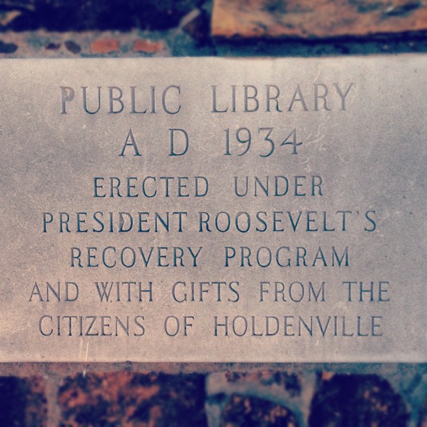
At work and had to run to this town's local library and saw this on the side of the building. I don't wanna think about if FDR had today's congress/republican politicians.

Mommy stare down

Good night
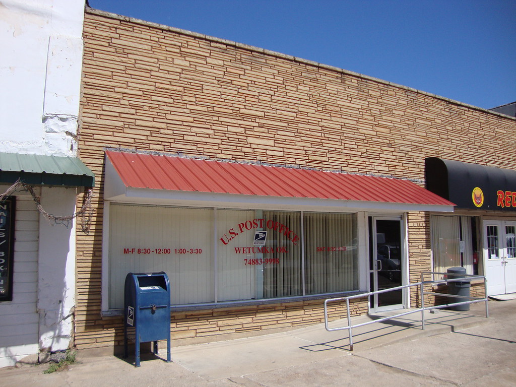
Post Office 74883 (Wetumka, Oklahoma)

Hughes County Courthouse (Holdenville, Oklahoma)
Topographic Map of Hughes County, OK, USA
Find elevation by address:

Places in Hughes County, OK, USA:
Places near Hughes County, OK, USA:
US-75, Yeager, OK, USA
211 N Broadway St
Holdenville
E Main St, Holdenville, OK, USA
8598 Us-270
806 Roosevelt Ave
Seminole County
US-, McAlester, OK, USA
Parker
New Bethel Blvd, Byng, OK, USA
Ew 1355
3379 Haywood Rd
Konawa
West Main Street
Pontotoc County
Sacred Heart Rd, Konawa, OK, USA
E Main St, Ada, OK, USA
Ada
Pittsburg County
N Rd, Wardville, OK, USA
Recent Searches:
- Elevation of Corso Fratelli Cairoli, 35, Macerata MC, Italy
- Elevation of Tallevast Rd, Sarasota, FL, USA
- Elevation of 4th St E, Sonoma, CA, USA
- Elevation of Black Hollow Rd, Pennsdale, PA, USA
- Elevation of Oakland Ave, Williamsport, PA, USA
- Elevation of Pedrógão Grande, Portugal
- Elevation of Klee Dr, Martinsburg, WV, USA
- Elevation of Via Roma, Pieranica CR, Italy
- Elevation of Tavkvetili Mountain, Georgia
- Elevation of Hartfords Bluff Cir, Mt Pleasant, SC, USA