Elevation of E Main St, Holdenville, OK, USA
Location: United States > Oklahoma > Hughes County > Holdenville >
Longitude: -96.399562
Latitude: 35.0803004
Elevation: 264m / 866feet
Barometric Pressure: 98KPa
Elevation Map:
Satellite Map:
Related Photos:
IMG_0294
Green Corn Rebellion
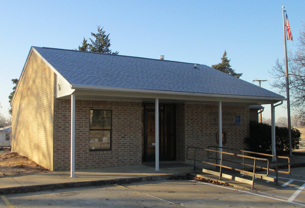
Post Office 74827 (Atwood, Oklahoma)

Craziness!

Beasting it out at my sister Rita's house with Darrell
Driving home

Happy Halloween

At work and had to run to this town's local library and saw this on the side of the building. I don't wanna think about if FDR had today's congress/republican politicians.
Topographic Map of E Main St, Holdenville, OK, USA
Find elevation by address:

Places near E Main St, Holdenville, OK, USA:
Holdenville
211 N Broadway St
Hughes County
US-75, Yeager, OK, USA
Seminole County
8598 Us-270
New Bethel Blvd, Byng, OK, USA
806 Roosevelt Ave
Ew 1355
Konawa
West Main Street
Parker
Pontotoc County
E Main St, Ada, OK, USA
Ada
Sacred Heart Rd, Konawa, OK, USA
US-, McAlester, OK, USA
3379 Haywood Rd
OK-59, Asher, OK, USA
Asher
Recent Searches:
- Elevation of Corso Fratelli Cairoli, 35, Macerata MC, Italy
- Elevation of Tallevast Rd, Sarasota, FL, USA
- Elevation of 4th St E, Sonoma, CA, USA
- Elevation of Black Hollow Rd, Pennsdale, PA, USA
- Elevation of Oakland Ave, Williamsport, PA, USA
- Elevation of Pedrógão Grande, Portugal
- Elevation of Klee Dr, Martinsburg, WV, USA
- Elevation of Via Roma, Pieranica CR, Italy
- Elevation of Tavkvetili Mountain, Georgia
- Elevation of Hartfords Bluff Cir, Mt Pleasant, SC, USA