Elevation map of Huaytará Province, Peru
Location: Peru > Huancavelica >
Longitude: -75.154538
Latitude: -13.647362
Elevation: 4264m / 13989feet
Barometric Pressure: 60KPa
Elevation Map:
Satellite Map:
Related Photos:
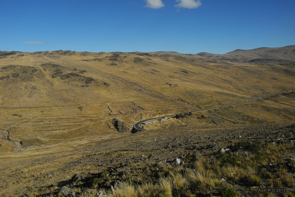
Road from Lima to Ayacucho
Topographic Map of Huaytará Province, Peru
Find elevation by address:

Places in Huaytará Province, Peru:
Places near Huaytará Province, Peru:
24A 80, Peru
03A 42, Peru
03A 78, Peru
Cangallo Province
24A, Peru
Libertadores, Peru
Ica
Huancavelica
Pampa De Villacuri
Recent Searches:
- Elevation of Congressional Dr, Stevensville, MD, USA
- Elevation of Bellview Rd, McLean, VA, USA
- Elevation of Stage Island Rd, Chatham, MA, USA
- Elevation of Shibuya Scramble Crossing, 21 Udagawacho, Shibuya City, Tokyo -, Japan
- Elevation of Jadagoniai, Kaunas District Municipality, Lithuania
- Elevation of Pagonija rock, Kranto 7-oji g. 8"N, Kaunas, Lithuania
- Elevation of Co Rd 87, Jamestown, CO, USA
- Elevation of Tenjo, Cundinamarca, Colombia
- Elevation of Côte-des-Neiges, Montreal, QC H4A 3J6, Canada
- Elevation of Bobcat Dr, Helena, MT, USA