Elevation map of Huancavelica, Peru
Location: Peru >
Longitude: -75.154538
Latitude: -12.928045
Elevation: 4699m / 15417feet
Barometric Pressure: 56KPa
Elevation Map:
Satellite Map:
Related Photos:
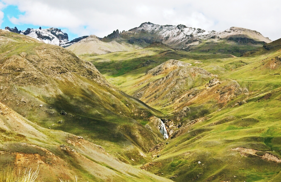
Huancavelica-Rumichaca pass
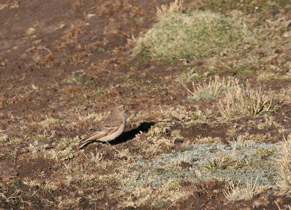
Slender-billed Miner (Geositta tenuirostris)
Topographic Map of Huancavelica, Peru
Find elevation by address:

Places in Huancavelica, Peru:
Places near Huancavelica, Peru:
24A 80, Peru
24A, Peru
03A 42, Peru
03A 78, Peru
Huaytará Province
Cangallo Province
Libertadores, Peru
Ica
Pampa De Villacuri
Recent Searches:
- Elevation of Leyte Industrial Development Estate, Isabel, Leyte, Philippines
- Elevation of W Granada St, Tampa, FL, USA
- Elevation of Pykes Down, Ivybridge PL21 0BY, UK
- Elevation of Jalan Senandin, Lutong, Miri, Sarawak, Malaysia
- Elevation of Bilohirs'k
- Elevation of 30 Oak Lawn Dr, Barkhamsted, CT, USA
- Elevation of Luther Road, Luther Rd, Auburn, CA, USA
- Elevation of Unnamed Road, Respublika Severnaya Osetiya — Alaniya, Russia
- Elevation of Verkhny Fiagdon, North Ossetia–Alania Republic, Russia
- Elevation of F. Viola Hiway, San Rafael, Bulacan, Philippines