Elevation map of Huarochirí Province, Peru
Location: Peru > Lima >
Longitude: -76.363728
Latitude: -12.008609
Elevation: 4296m / 14094feet
Barometric Pressure: 59KPa
Elevation Map:
Satellite Map:
Related Photos:
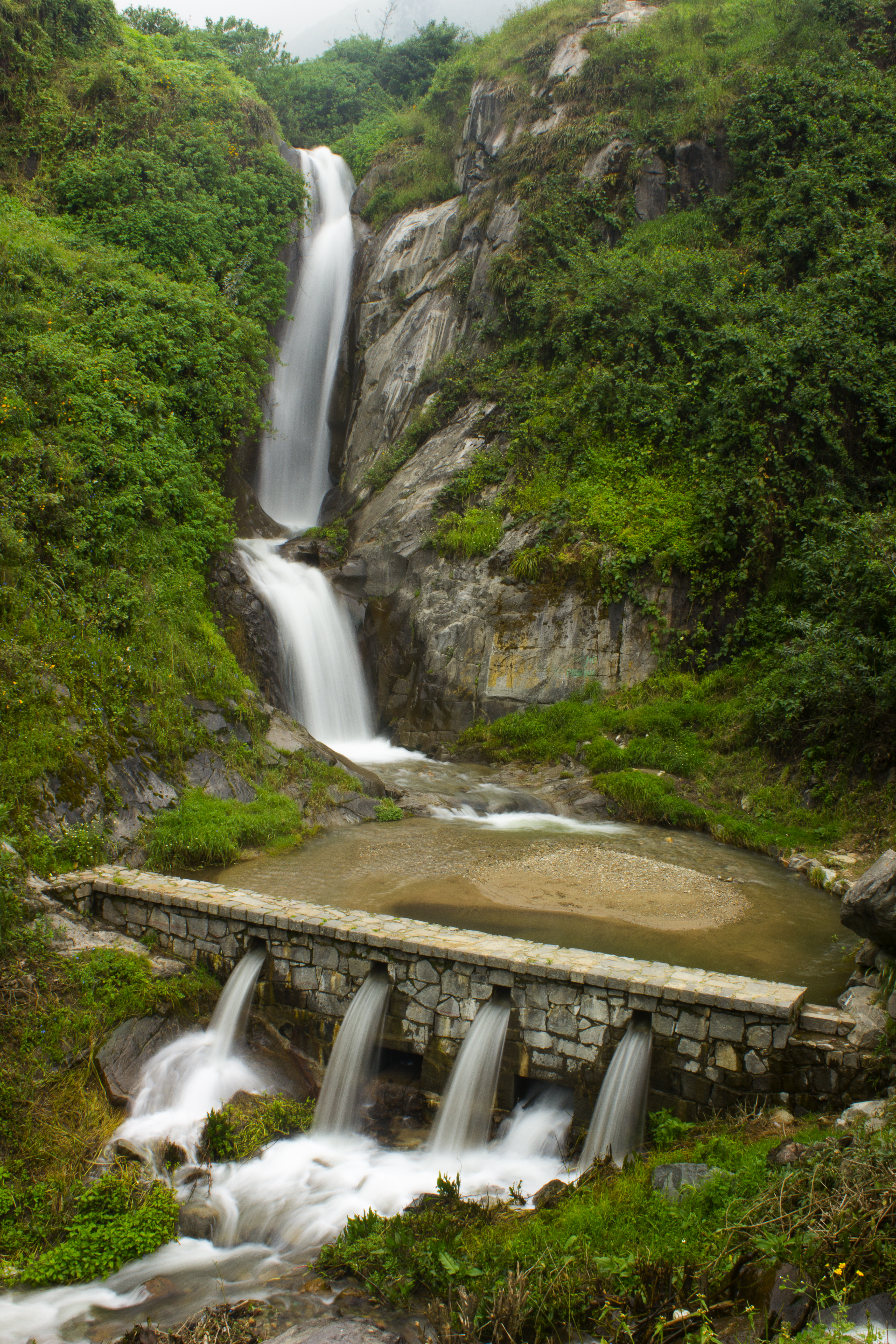
Palakala Waterfalls
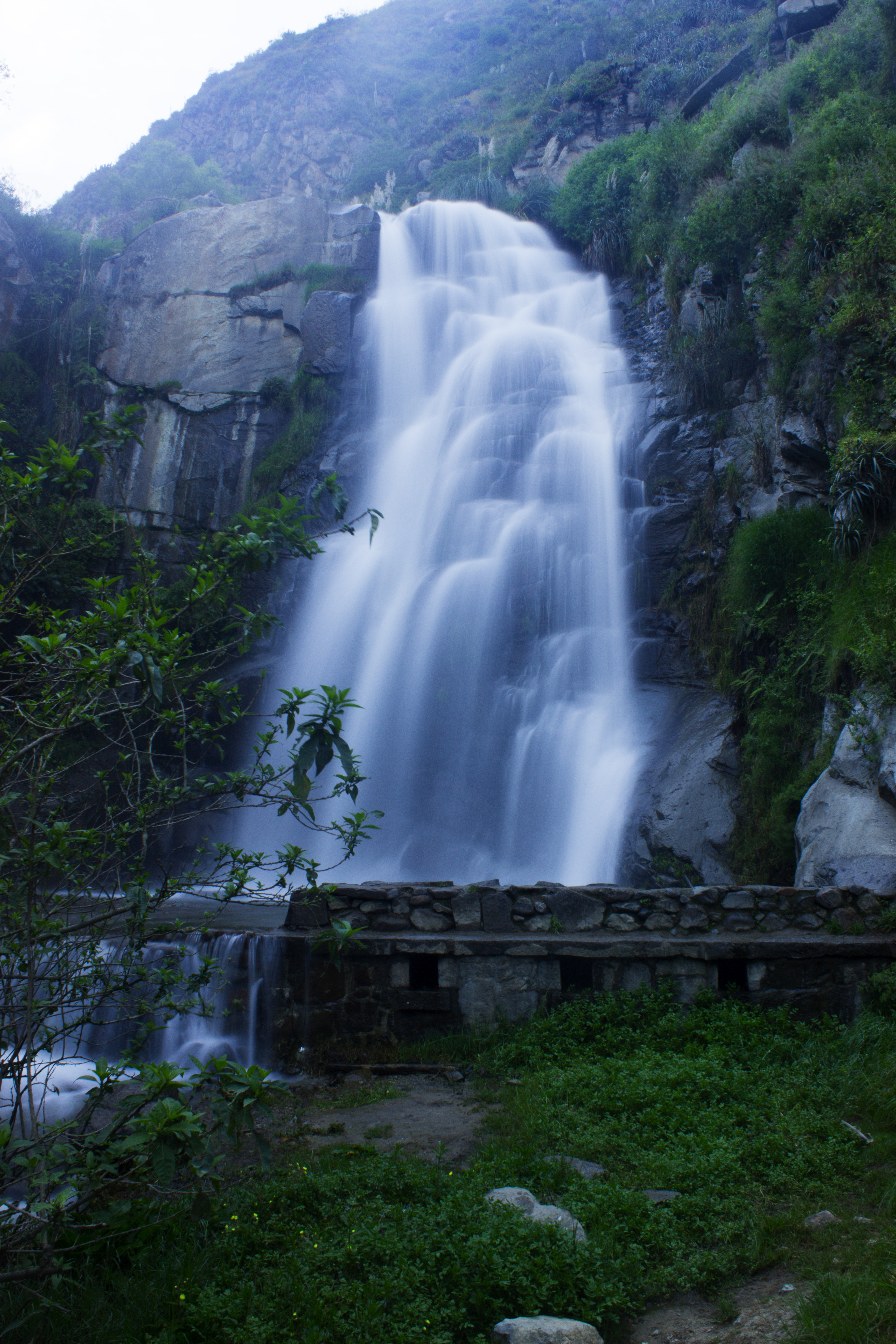
Huanano Waterfalls

????

Diana & Marco

Aqui empieza todo
Topographic Map of Huarochirí Province, Peru
Find elevation by address:

Places in Huarochirí Province, Peru:
Places near Huarochirí Province, Peru:
Matucana
San Mateo
Lima
Av. San Martin, Peru
Colegio Santa Rita
Casapalca
Cieneguilla Country Club
Yauli Province
The Ticlio
Peru
Morococha
La Raya
Pachacamac
Ate
Pachacamac District
Santa Rosa De Quives District
Lurigancho-chosica
La Molina
Estadio Monumental "u"
M2
Recent Searches:
- Elevation of Bydgoszcz, Poland
- Elevation of Bydgoszcz, Poland
- Elevation of Calais Dr, Del Mar, CA, USA
- Elevation of Placer Mine Ln, West Jordan, UT, USA
- Elevation of E 63rd St, New York, NY, USA
- Elevation of Elk City, OK, USA
- Elevation of Erika Dr, Windsor, CA, USA
- Elevation of Village Ln, Finleyville, PA, USA
- Elevation of 24 Oakland Rd #, Scotland, ON N0E 1R0, Canada
- Elevation of Deep Gap Farm Rd E, Mill Spring, NC, USA