Elevation of Hualapai Peak, Arizona, USA
Location: United States > Arizona > Mohave County > Kingman >
Longitude: -113.90078
Latitude: 35.0750038
Elevation: 2291m / 7516feet
Barometric Pressure: 77KPa
Elevation Map:
Satellite Map:
Related Photos:
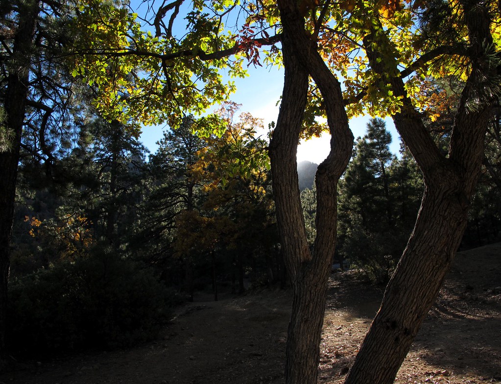
Oaks and Pines

118/365 = Hualapai Mountain Park-for April 28 2010
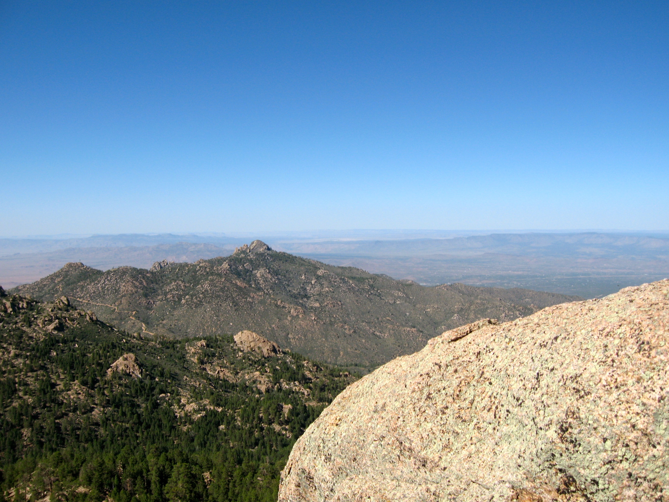
View from the summit

View from Hualapai Mountains ~ Kingman Arizona
Topographic Map of Hualapai Peak, Arizona, USA
Find elevation by address:

Places near Hualapai Peak, Arizona, USA:
Hualapai Mountain Park Campground
8760 Mountain Shadow Rd
Hualapai Mountains
11339 Hidden Valley Rd
6751 S A Frame Ct
Big Sandy Range
Chicken Springs Road
Wikieup
7480 E Mesquite Dr
9200 Cholla Canyon Ranch Rd
Red Barrel Drive
11870 S Bogles Ranch Rd
19200 Cholla Canyon Ranch Rd
Yucca, AZ, USA
Mccracken Mine Road
Perkins Rd, Wikieup, AZ, USA
Signal Rd, Yucca, AZ, USA
Burro Creek Campground
Six Mile Crossing
40229 Carson Trail
Recent Searches:
- Elevation of Corso Fratelli Cairoli, 35, Macerata MC, Italy
- Elevation of Tallevast Rd, Sarasota, FL, USA
- Elevation of 4th St E, Sonoma, CA, USA
- Elevation of Black Hollow Rd, Pennsdale, PA, USA
- Elevation of Oakland Ave, Williamsport, PA, USA
- Elevation of Pedrógão Grande, Portugal
- Elevation of Klee Dr, Martinsburg, WV, USA
- Elevation of Via Roma, Pieranica CR, Italy
- Elevation of Tavkvetili Mountain, Georgia
- Elevation of Hartfords Bluff Cir, Mt Pleasant, SC, USA