Elevation of Howie Rd, Big Timber, MT, USA
Location: United States > Montana > Sweet Grass County > Big Timber >
Longitude: -109.84641
Latitude: 45.8545526
Elevation: 1282m / 4206feet
Barometric Pressure: 87KPa
Elevation Map:
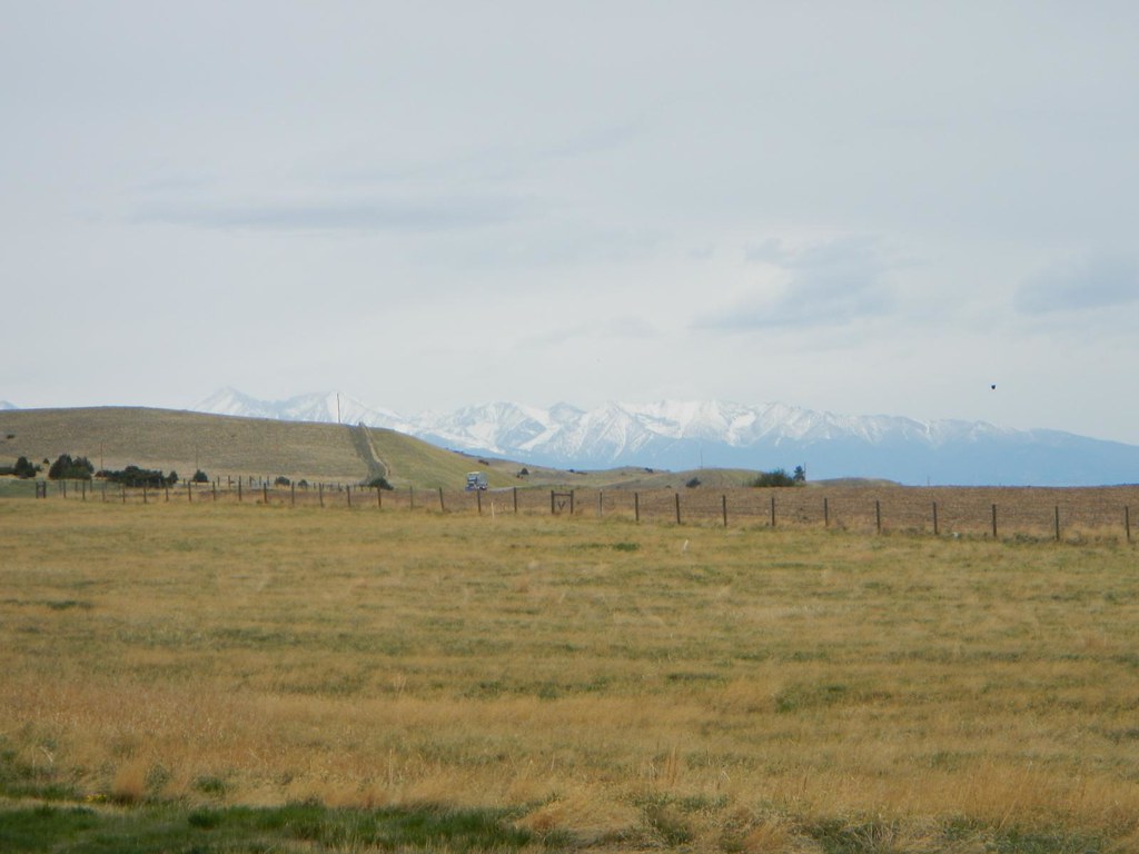
Satellite Map:
Related Photos:
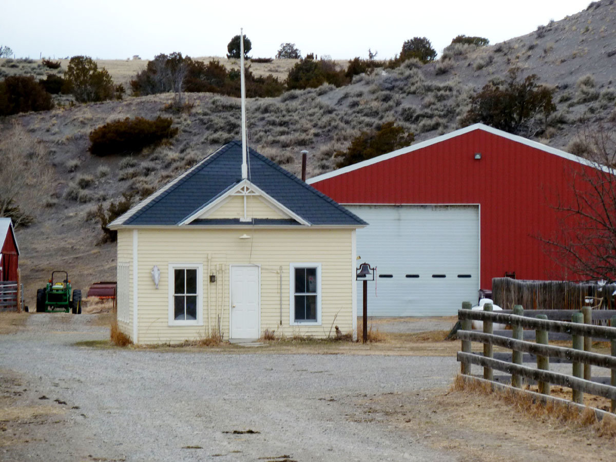
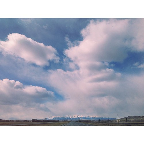
Howie, Montana

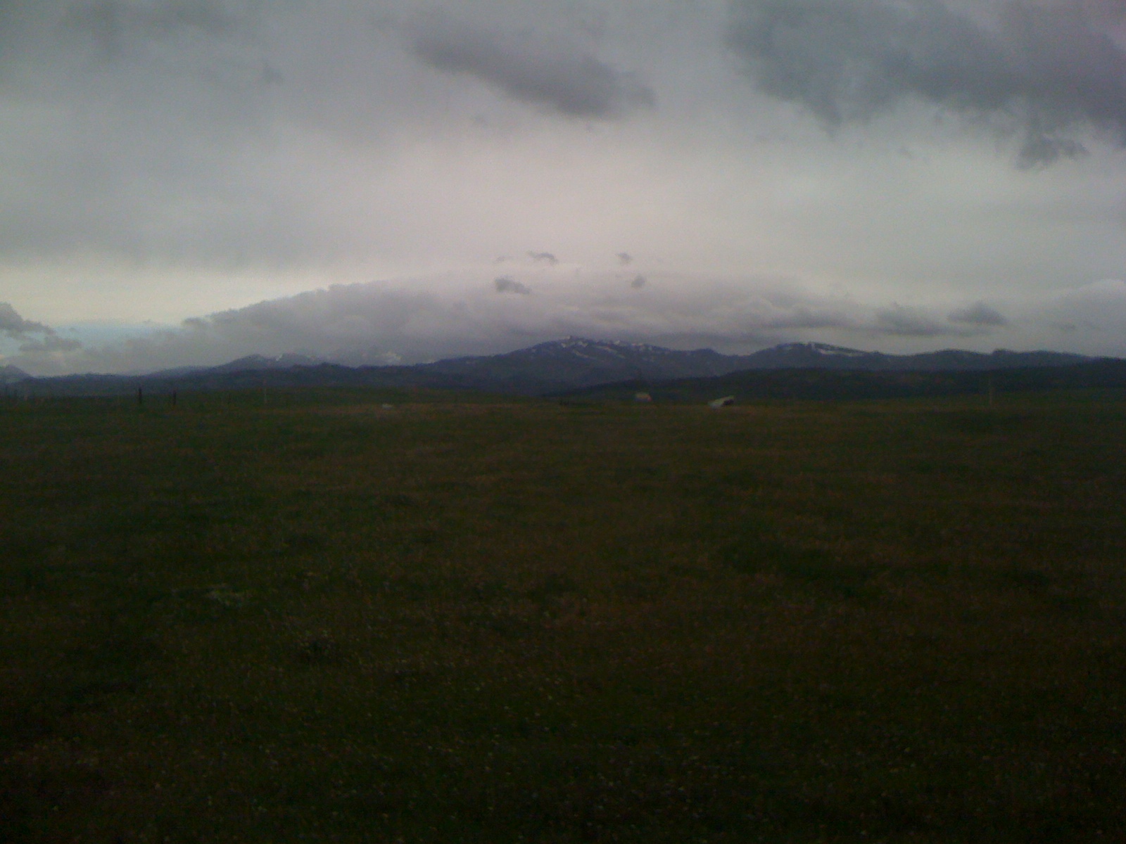
View of Crazy Mountains from rest area off I-90 near Greycliff, MT
IMG_0681.JPG
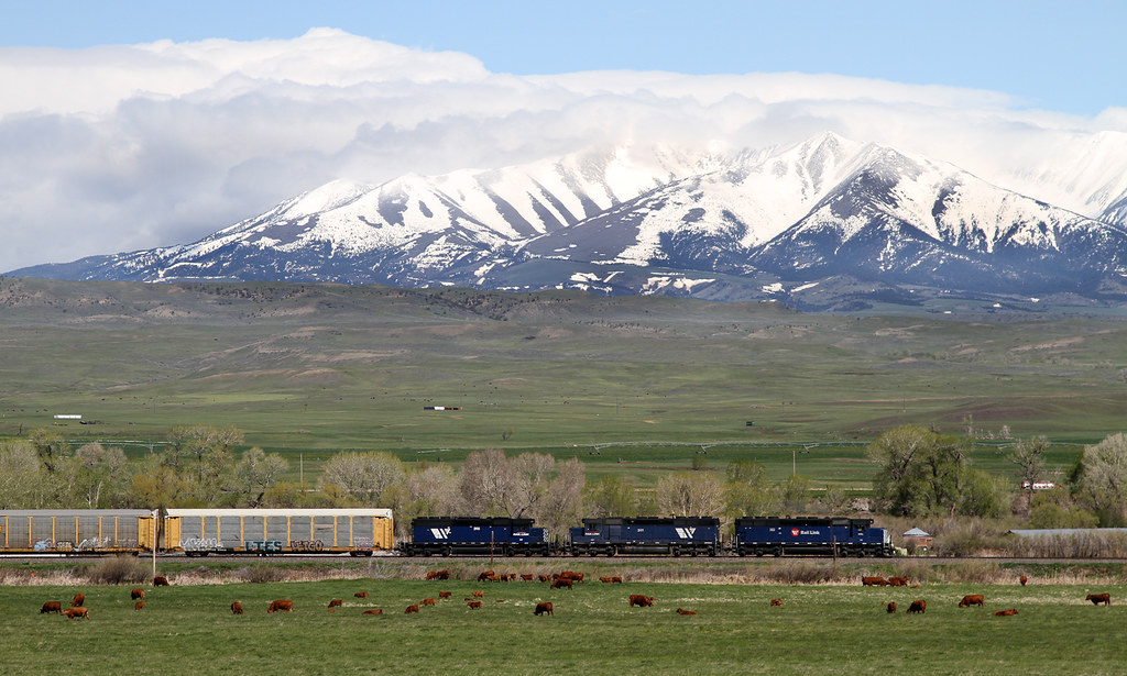
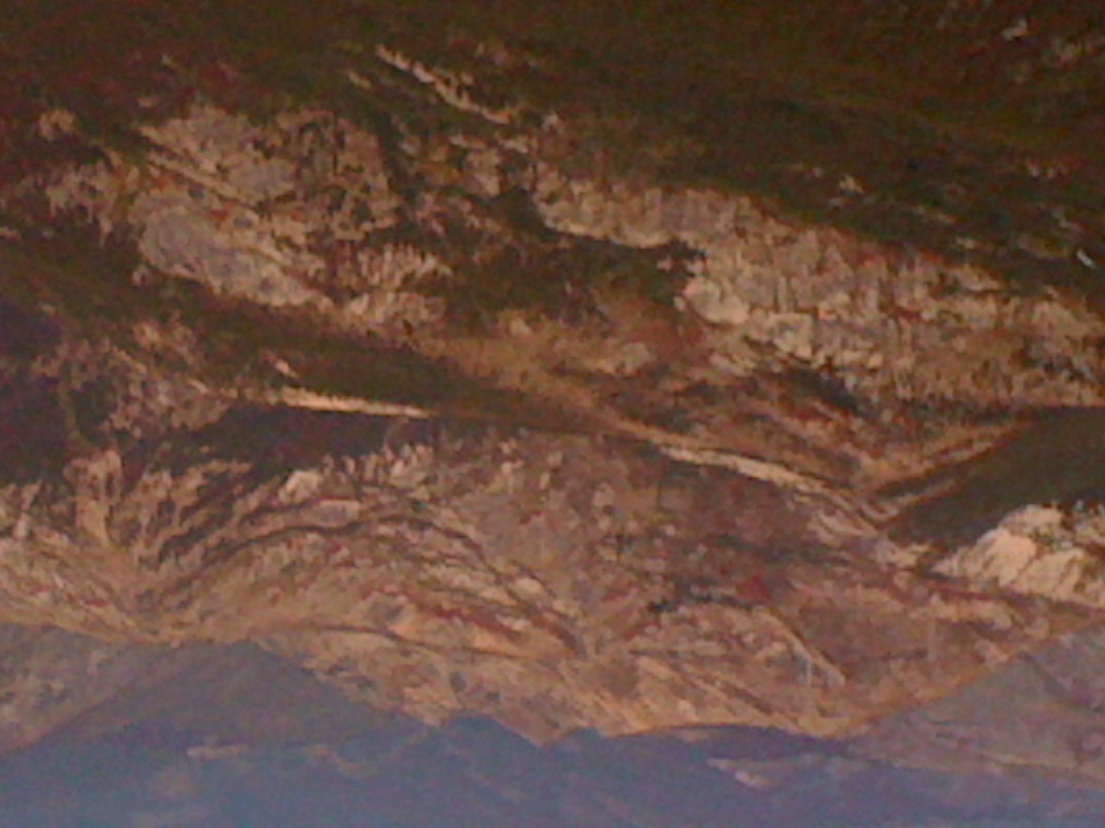
Crazies and Blues

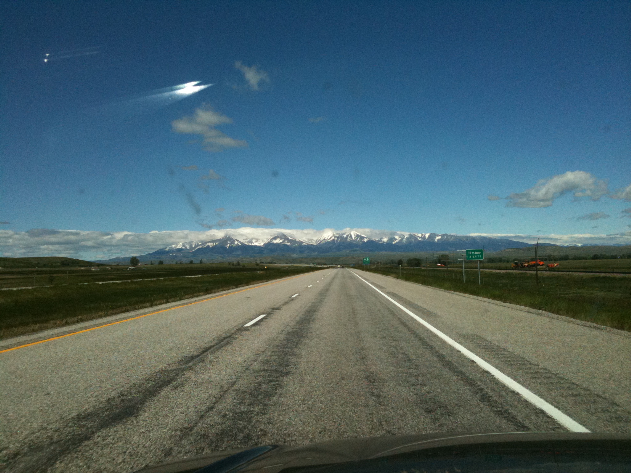
route 90 west, Montana
Route 90 West, Montana
Big Sky. With @photorob24 @cveldman5 @bholman4 & @moosejawmadness #montana
Up the mountain

US Northwest

Heading west on US14 looking north as we neared Burgess Junction
Big Timber Creek
Route 90 West, Montana

US Northwest
US Northwest

Big Timber, MT

Glasston, Montana
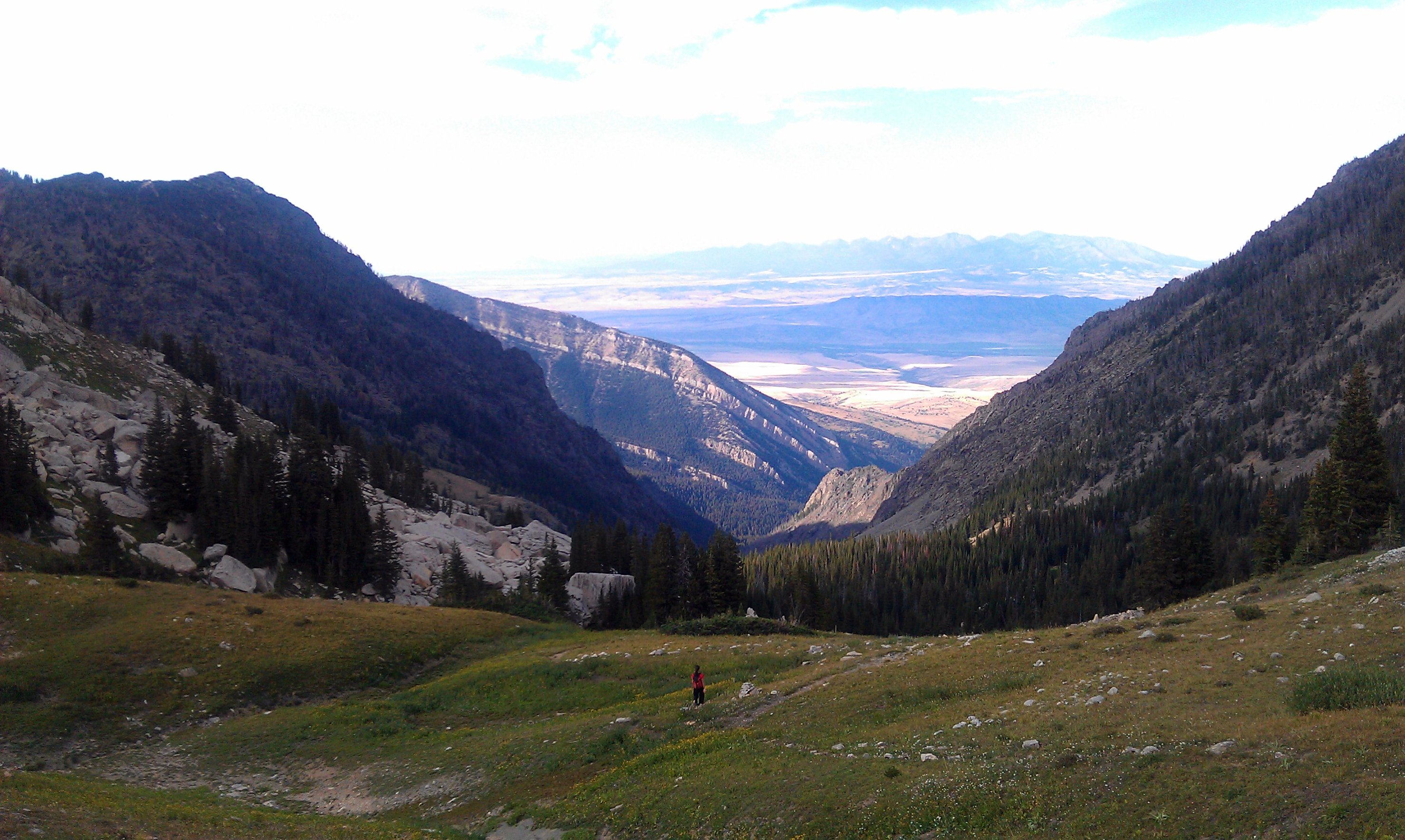
Heading down from the saddle east of Elephanthead Peak
IMG_0474.JPG

Big Timber, MT
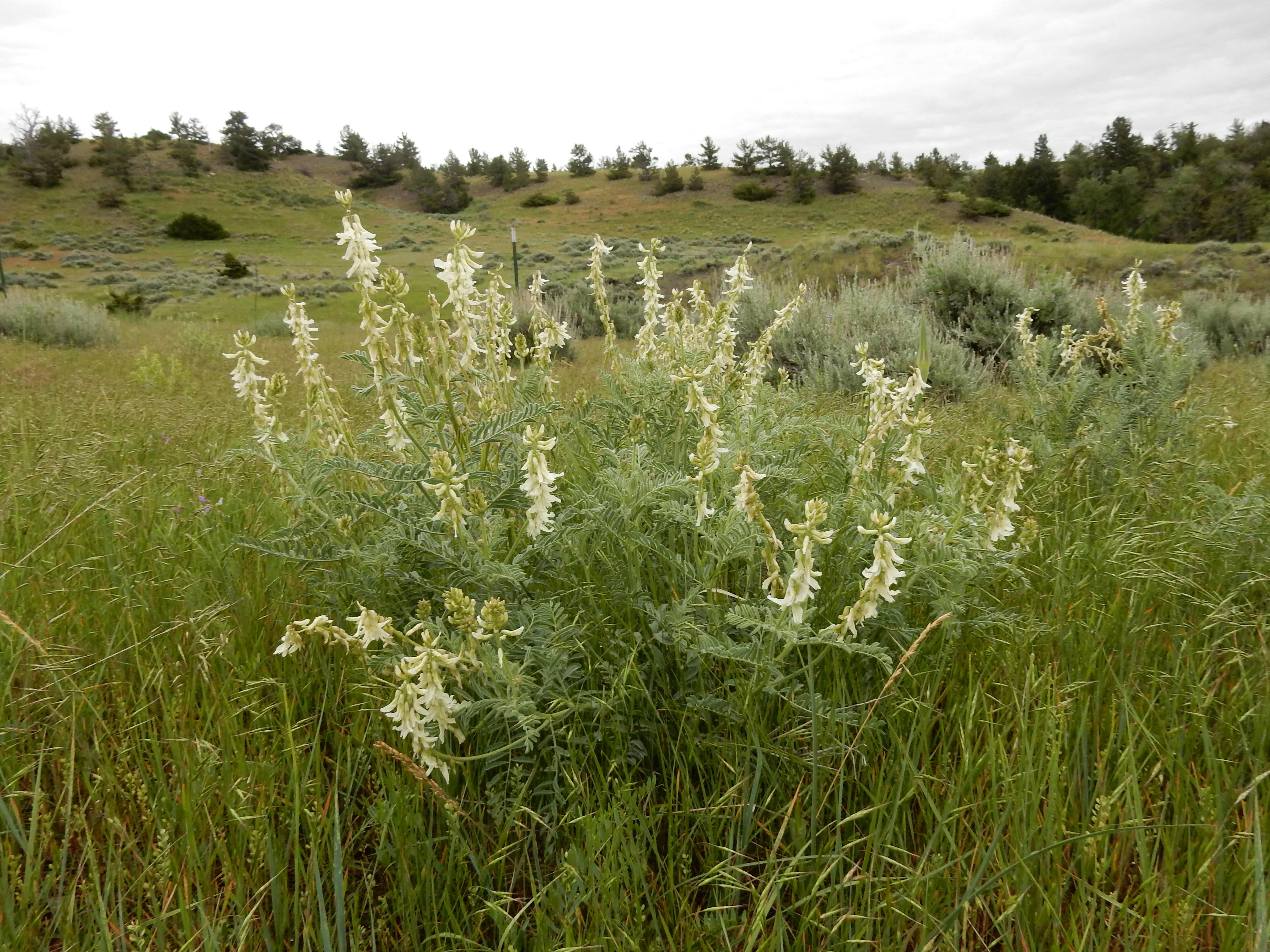
Astragalus drummondii

Field of flowers in Montana
Everyday for 7 Weeks - Day3 - Billings to Missoula
Topographic Map of Howie Rd, Big Timber, MT, USA
Find elevation by address:

Places near Howie Rd, Big Timber, MT, USA:
120 Spannering Rd
Sweet Grass County
Big Timber
Hobble Diamond Land & Cattle
Big Timber, MT, USA
100 Crazy D Ln
Iron Mountain
Interstate 90 Frontage Rd, Big Timber, MT, USA
Mcleod
442 W Boulder Rd
66 Harmony Ln
Nye
16 Little Rocky Creek Rd
16 Little Rocky Creek Rd
East Boulder River
81 C M R Trail
43 Sioux Trail
62 Trinity Trail
Mc Leod
2562 Nye Rd
Recent Searches:
- Elevation of Lampiasi St, Sarasota, FL, USA
- Elevation of Elwyn Dr, Roanoke Rapids, NC, USA
- Elevation of Congressional Dr, Stevensville, MD, USA
- Elevation of Bellview Rd, McLean, VA, USA
- Elevation of Stage Island Rd, Chatham, MA, USA
- Elevation of Shibuya Scramble Crossing, 21 Udagawacho, Shibuya City, Tokyo -, Japan
- Elevation of Jadagoniai, Kaunas District Municipality, Lithuania
- Elevation of Pagonija rock, Kranto 7-oji g. 8"N, Kaunas, Lithuania
- Elevation of Co Rd 87, Jamestown, CO, USA
- Elevation of Tenjo, Cundinamarca, Colombia