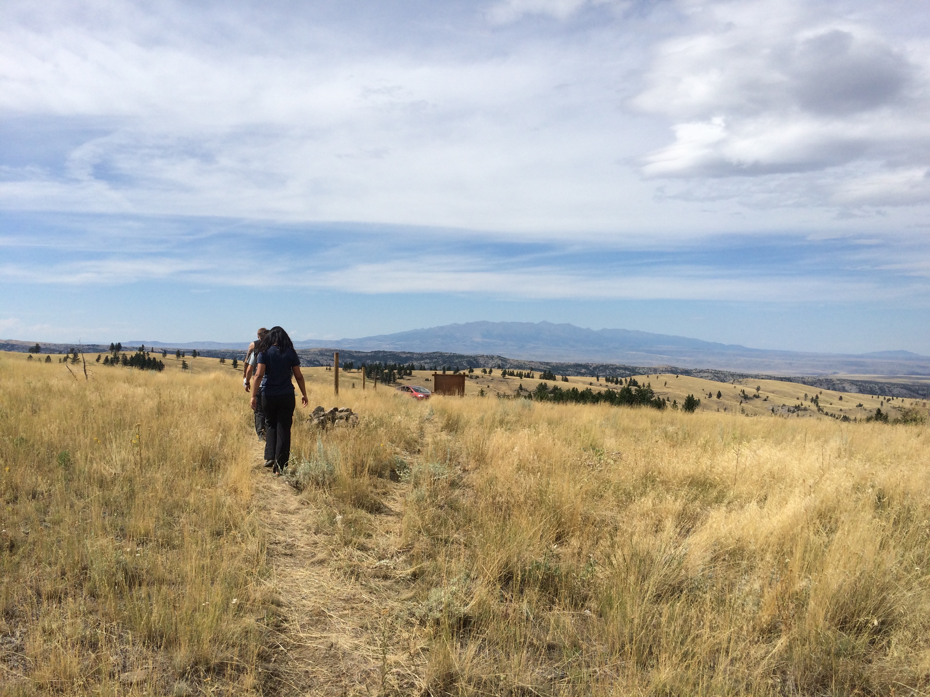
Elevation of Iron Mountain, Mc Leod, MT, USA
Location: United States > Montana > Mc Leod >
Longitude: -109.95323
Latitude: 45.5936052
Elevation: 1999m / 6558feet
Barometric Pressure: 79KPa
Elevation Map:
Satellite Map:
Related Photos:
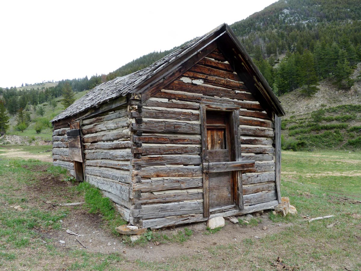
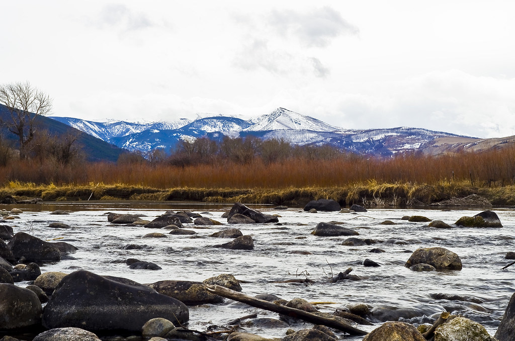
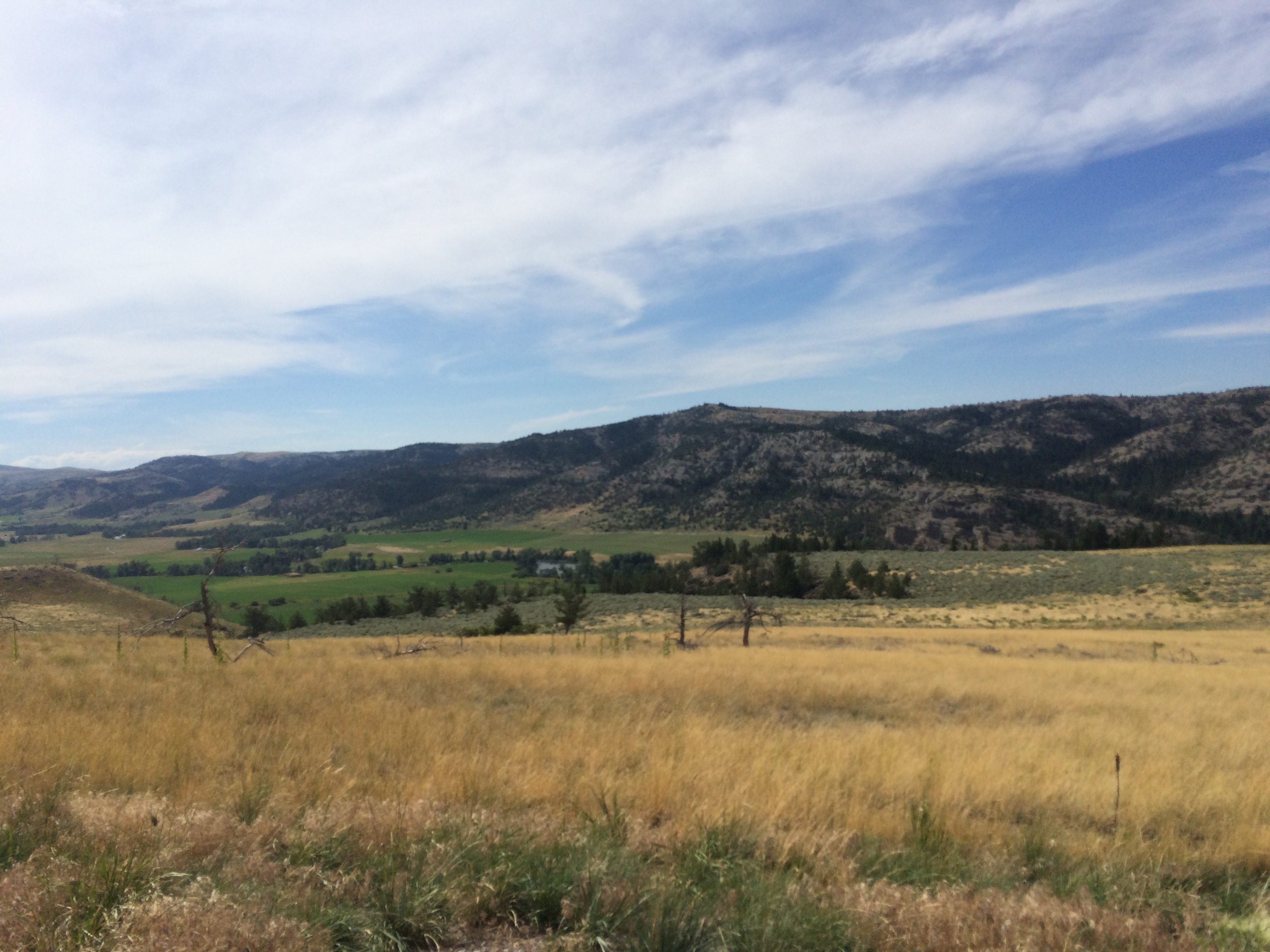
Limestone, Montana
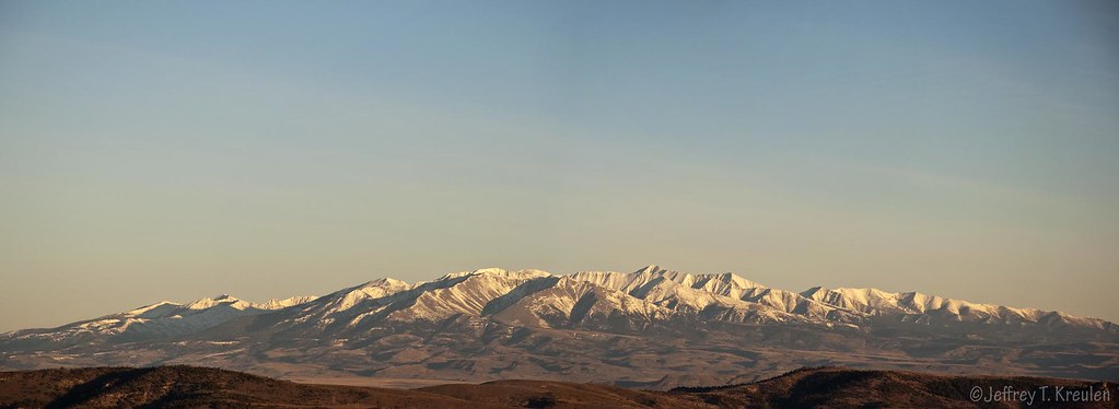
Crazy Mountain Panorama
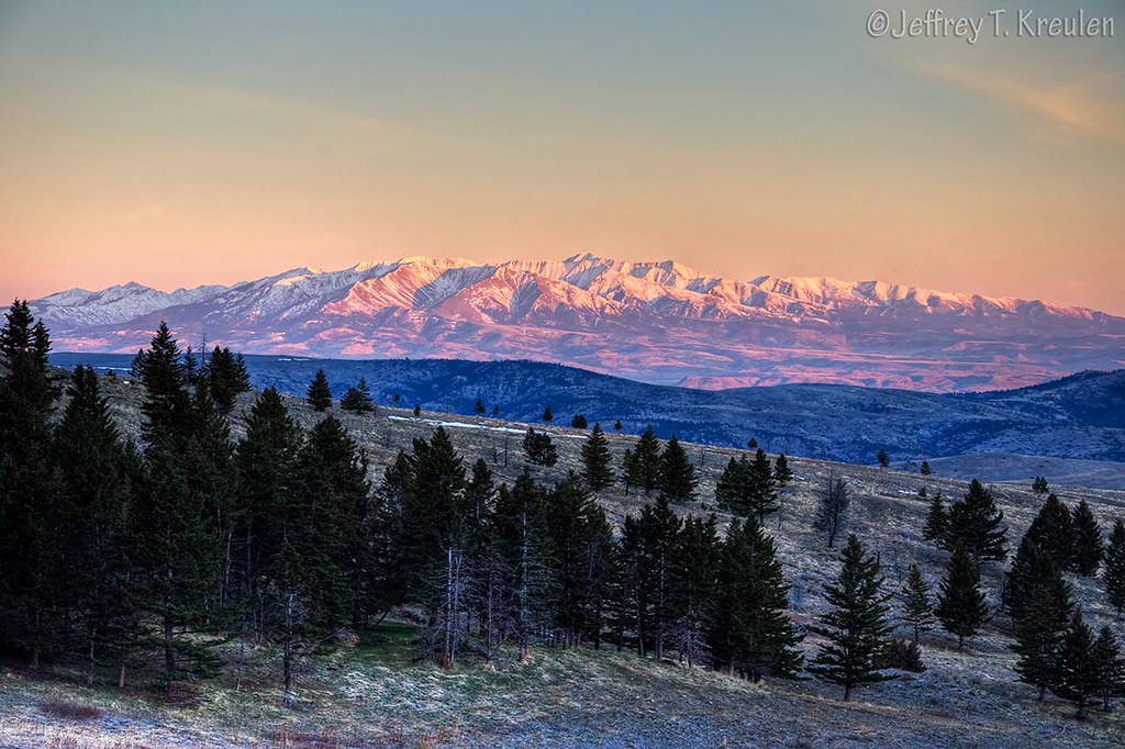
Crazy Mountains Sunrise
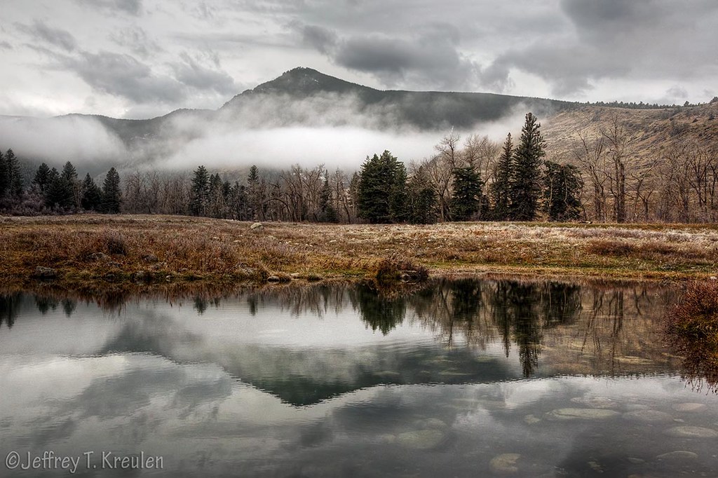
Green Mountain Reflection
Boulder River Montana

Elk Mountain Sunrise
Limestone, Montana

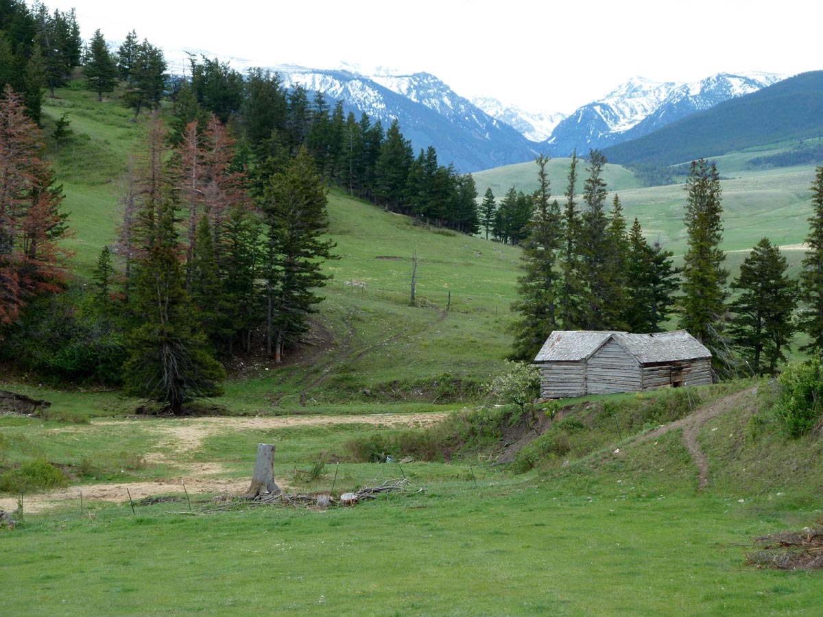
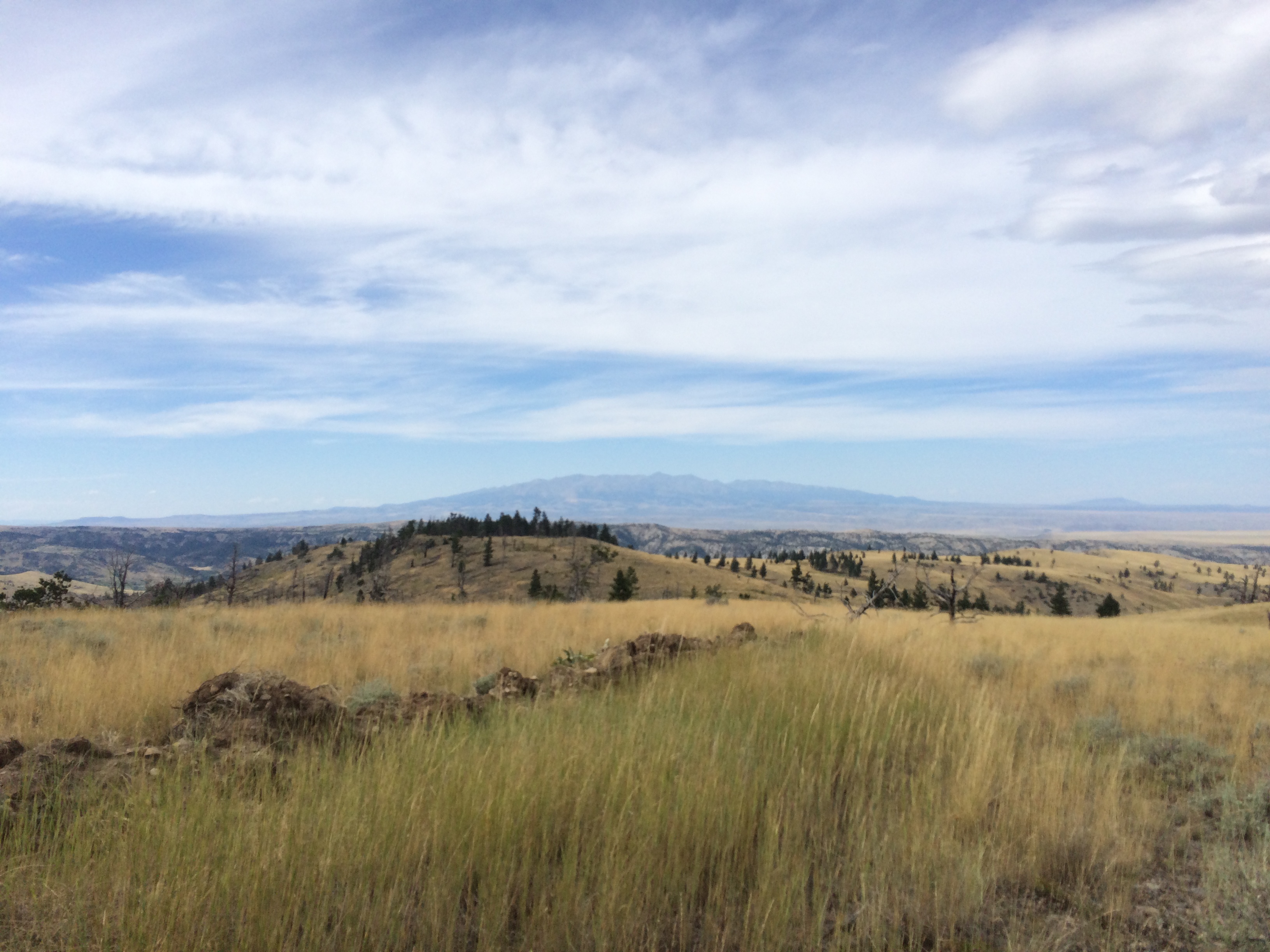
Montana 2K15
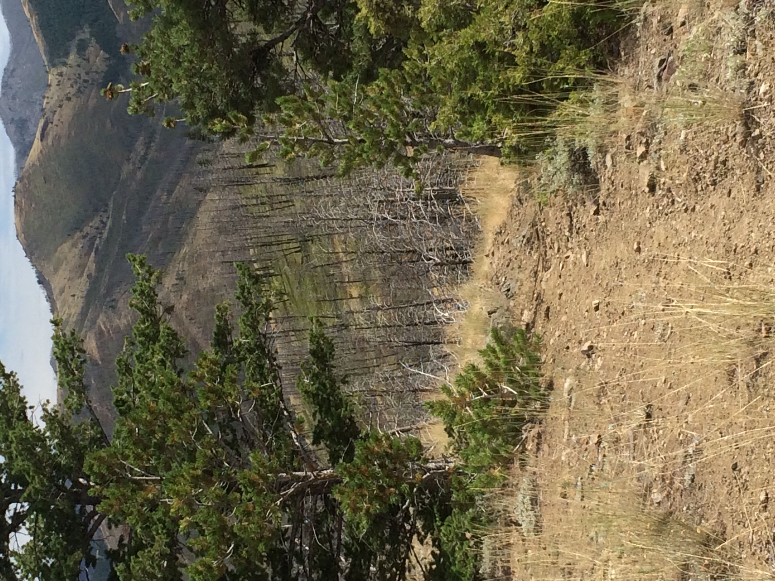
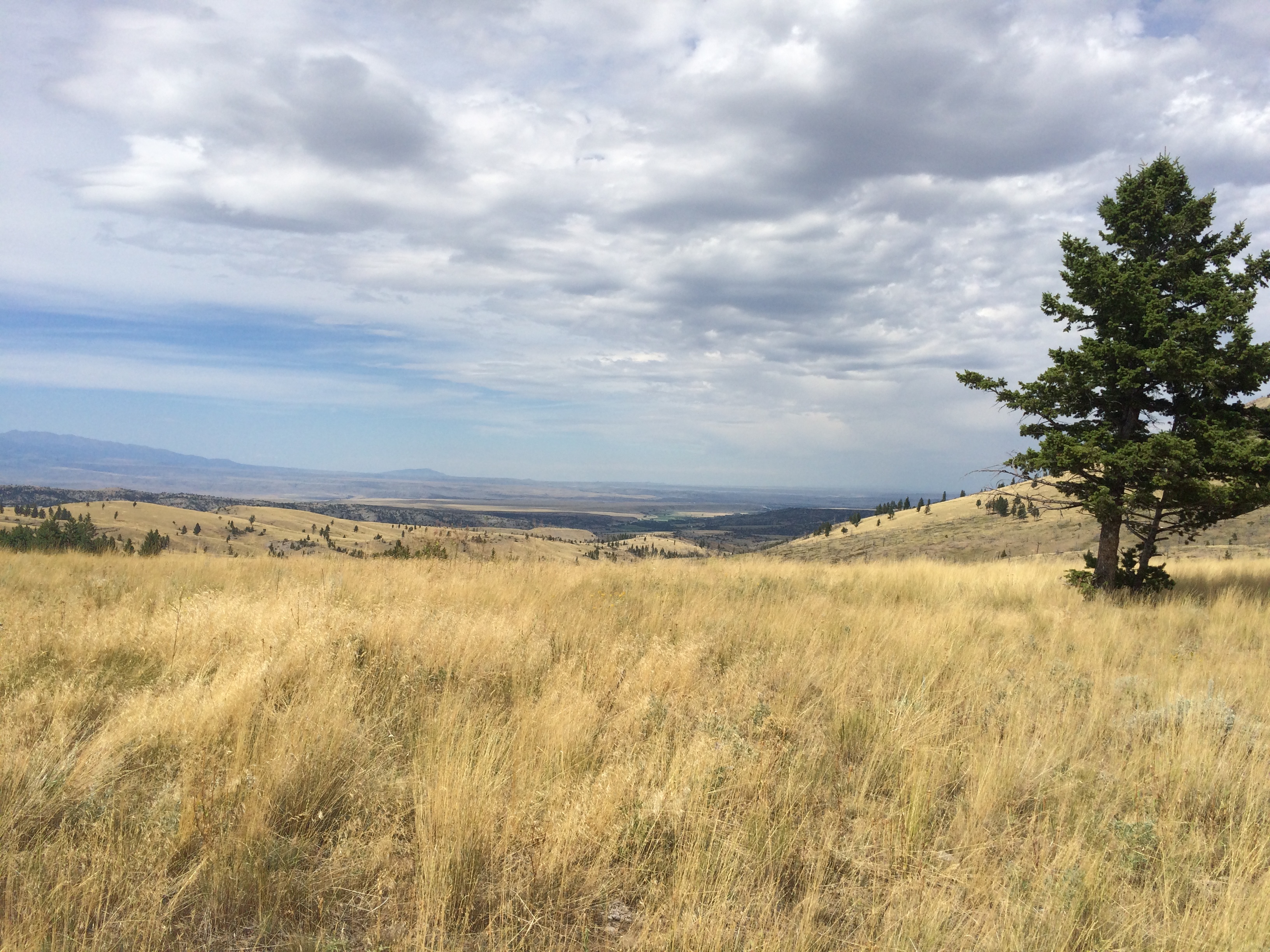
Montana 2k15
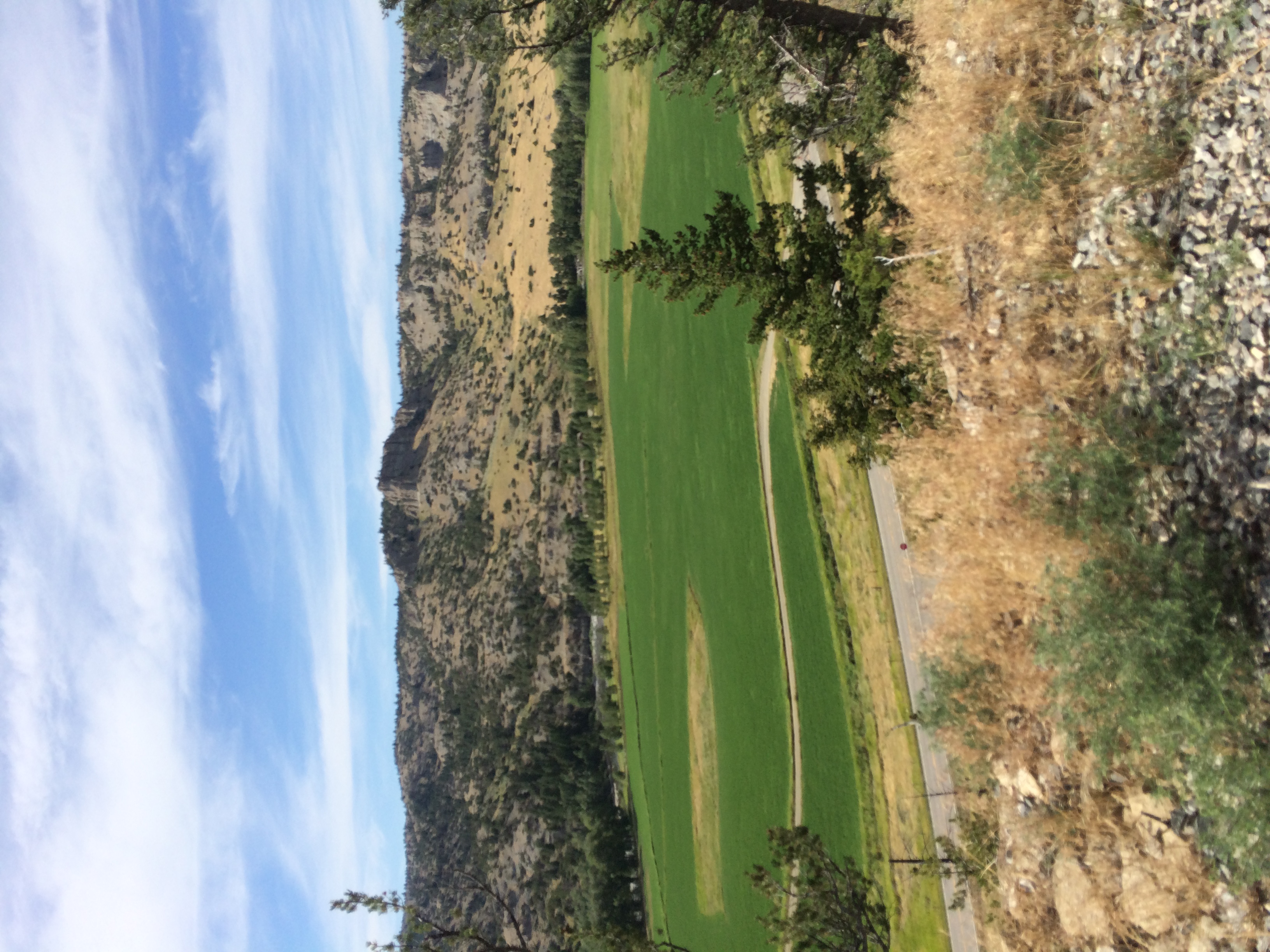
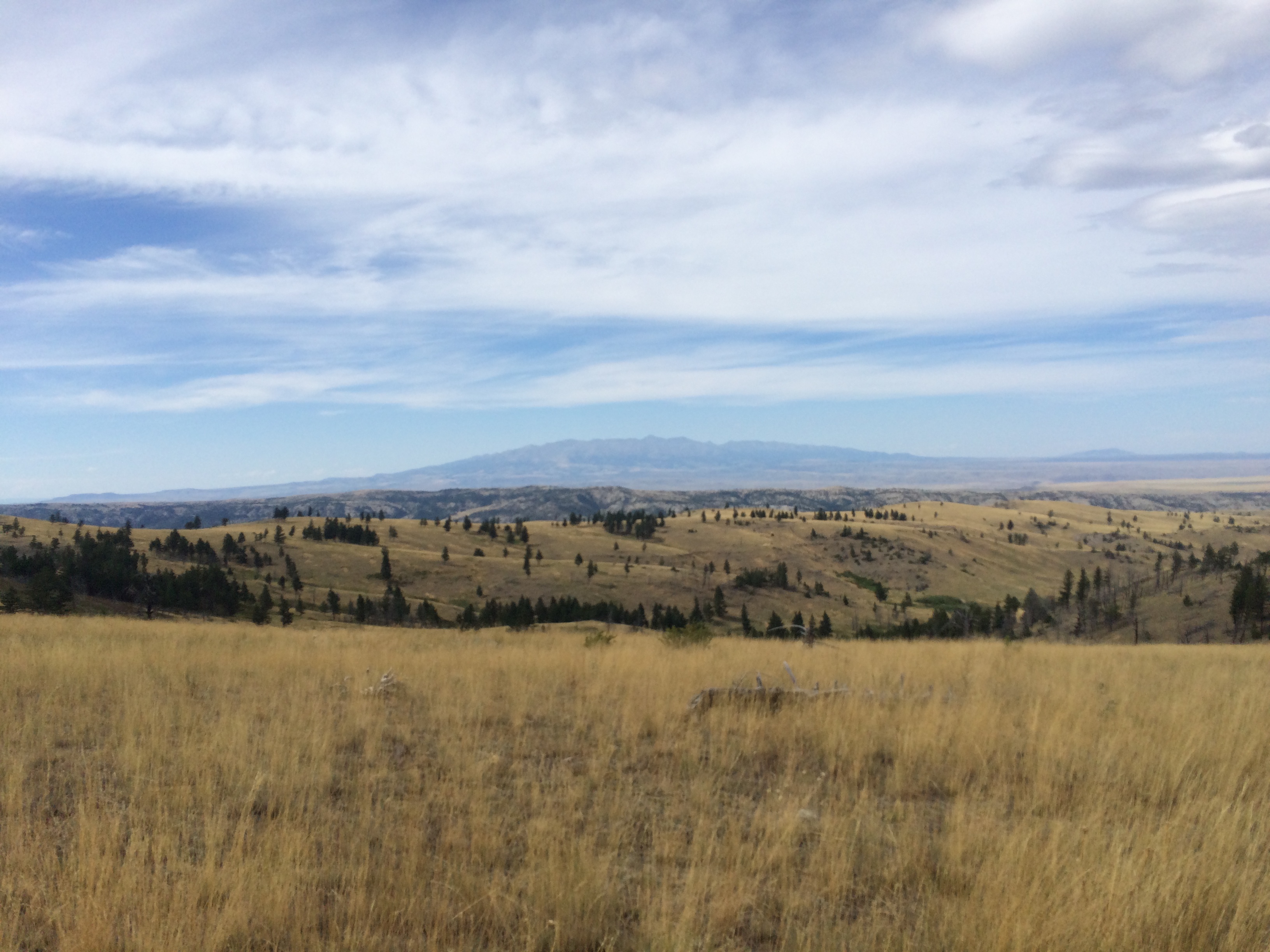
Montana 2K15
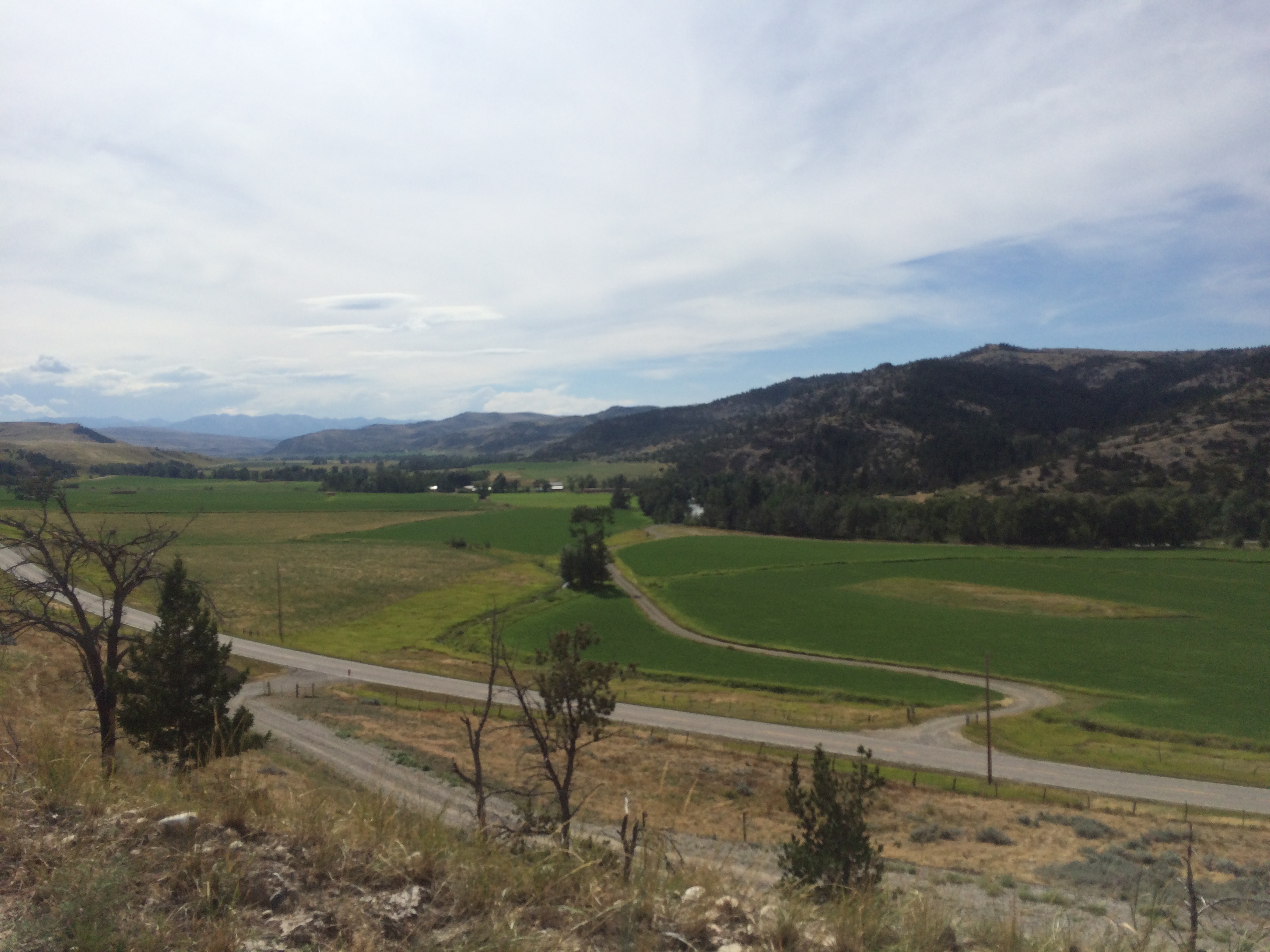
Montana 2K15
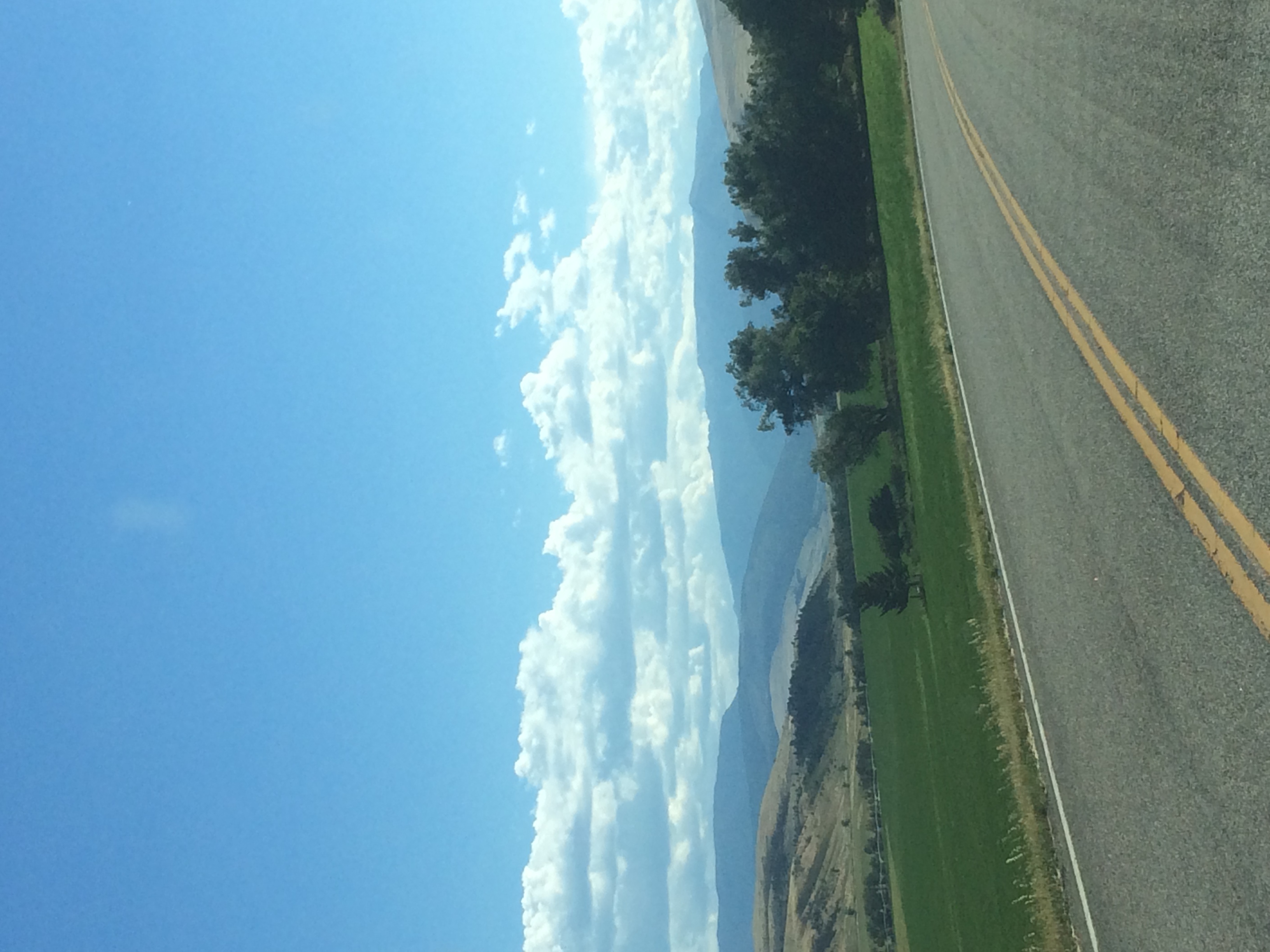
Montana 2K15
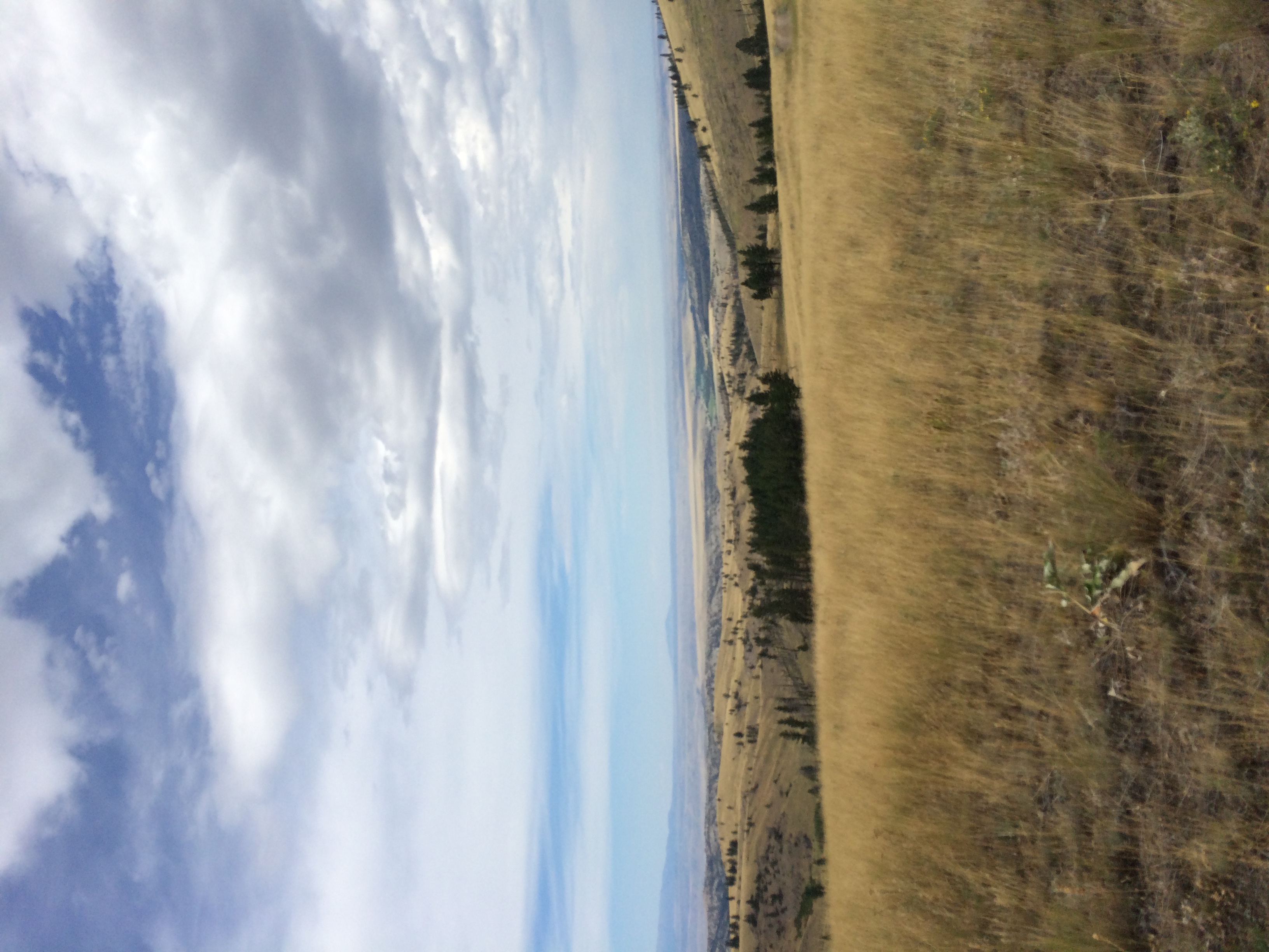
Montana 2K15
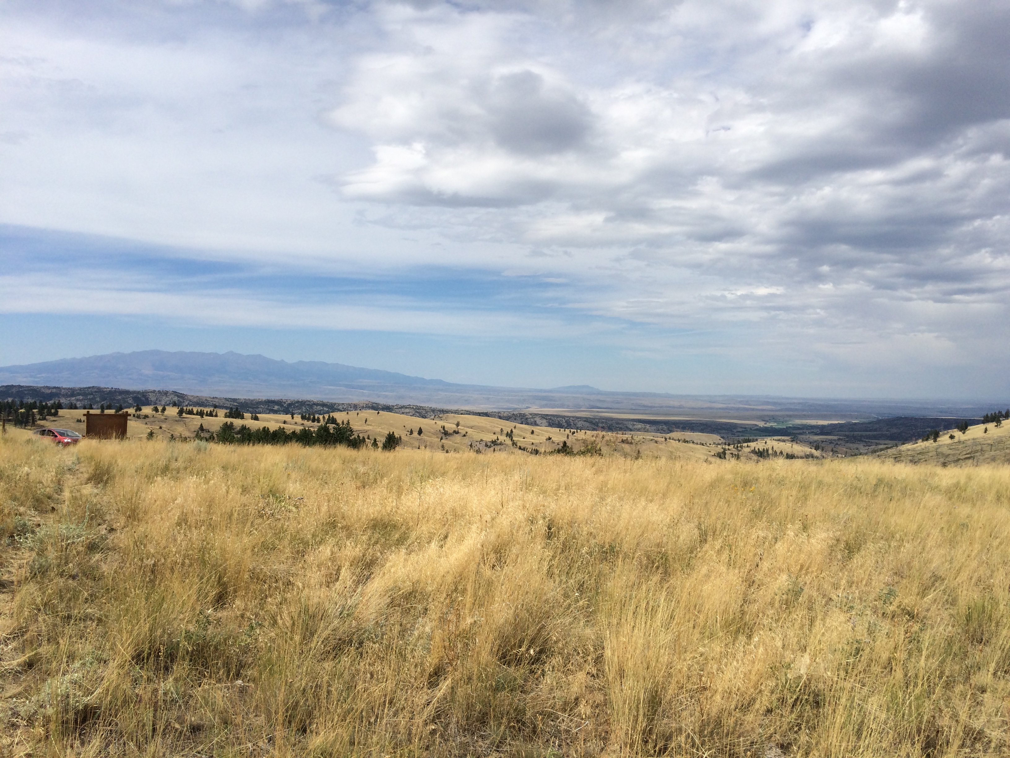
Montana 2k15
Montana 2K15
Montana 2K15
Montana 2k15
Montana 2K15
Montana 2K15

Montana 2k15
Topographic Map of Iron Mountain, Mc Leod, MT, USA
Find elevation by address:

Places near Iron Mountain, Mc Leod, MT, USA:
Mcleod
Sweet Grass County
East Boulder River
81 C M R Trail
Nye
2562 Nye Rd
43 Sioux Trail
66 Harmony Ln
Interstate 90 Frontage Rd, Big Timber, MT, USA
Big Timber
16 Little Rocky Creek Rd
16 Little Rocky Creek Rd
442 W Boulder Rd
Natural Bridge Falls Picnic Area
2586 Main Boulder Rd
Hobble Diamond Land & Cattle
120 Spannering Rd
Clydehurst Christian Ranch
3319 Main Boulder Rd
Mc Leod
Recent Searches:
- Elevation of Corso Fratelli Cairoli, 35, Macerata MC, Italy
- Elevation of Tallevast Rd, Sarasota, FL, USA
- Elevation of 4th St E, Sonoma, CA, USA
- Elevation of Black Hollow Rd, Pennsdale, PA, USA
- Elevation of Oakland Ave, Williamsport, PA, USA
- Elevation of Pedrógão Grande, Portugal
- Elevation of Klee Dr, Martinsburg, WV, USA
- Elevation of Via Roma, Pieranica CR, Italy
- Elevation of Tavkvetili Mountain, Georgia
- Elevation of Hartfords Bluff Cir, Mt Pleasant, SC, USA