Elevation of Hot Springs, MT, USA
Location: United States > Montana > Sanders County >
Longitude: -114.66874
Latitude: 47.6091041
Elevation: 865m / 2838feet
Barometric Pressure: 91KPa
Elevation Map:
Satellite Map:
Related Photos:
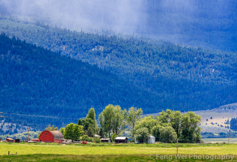
Rural Landscape, Montana USA

Hot Springs, Montana 59845

Late Fall on Rainbow Lake
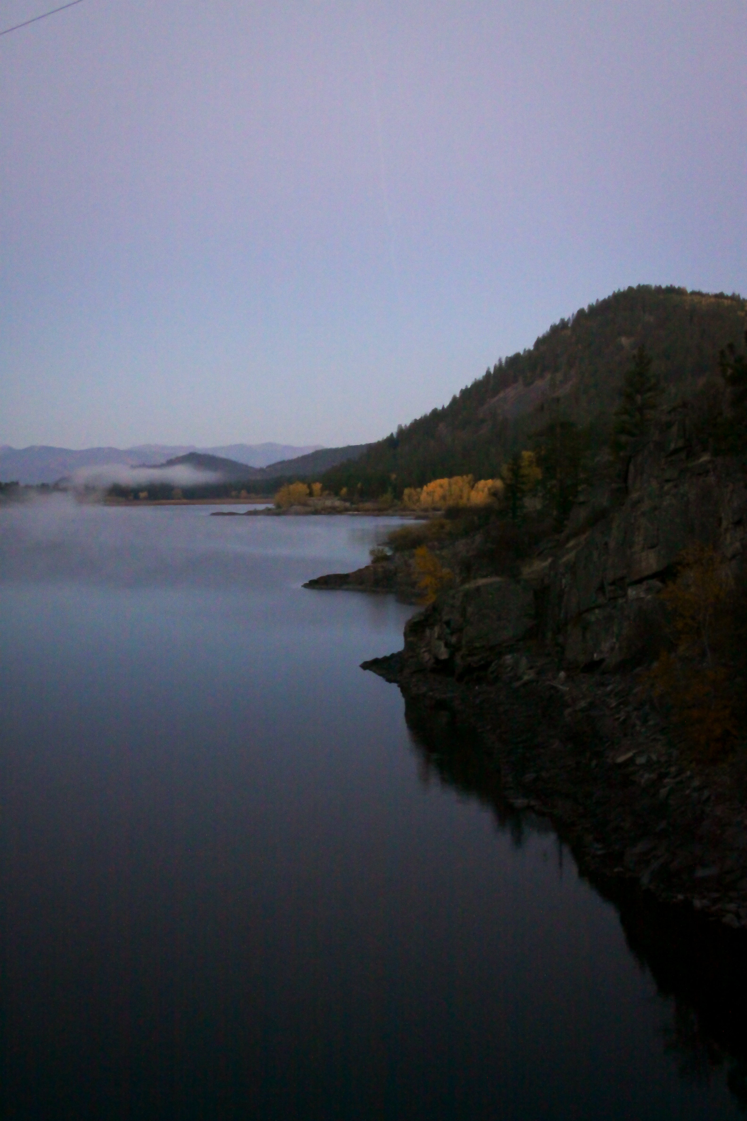
Rainbow Lake

Self Portrait October 3rd, 2012

Montana, Flathead Reservation DSCN0987

Montana Deer

Montana, Flathead Reservation DSCN0988

Montana, Rainbow Lake DSCN0978

Some males kept eyeing us...

Montana sky
Topographic Map of Hot Springs, MT, USA
Find elevation by address:

Places near Hot Springs, MT, USA:
75 Bras Rd, Lonepine, MT, USA
Baldy Mountain
Rattling Horns Lane
252 Cedar Creek Rd
310 Cedar Creek Rd
155 Cedar Creek Rd
Upper Lynch Creek Rd, Plains, MT, USA
Deemer Cr Road
62 Three Tree Ln
Deemer Ridge Road
345 High Country Rd
370 Upper Lynch Creek Rd
230 High Country Rd
7974 Mt-200
Paradise
Farmer
Plains
Plains, MT, USA
190 Quinn's Canyon Rd
71 Black Jack Rd
Recent Searches:
- Elevation of Elwyn Dr, Roanoke Rapids, NC, USA
- Elevation of Congressional Dr, Stevensville, MD, USA
- Elevation of Bellview Rd, McLean, VA, USA
- Elevation of Stage Island Rd, Chatham, MA, USA
- Elevation of Shibuya Scramble Crossing, 21 Udagawacho, Shibuya City, Tokyo -, Japan
- Elevation of Jadagoniai, Kaunas District Municipality, Lithuania
- Elevation of Pagonija rock, Kranto 7-oji g. 8"N, Kaunas, Lithuania
- Elevation of Co Rd 87, Jamestown, CO, USA
- Elevation of Tenjo, Cundinamarca, Colombia
- Elevation of Côte-des-Neiges, Montreal, QC H4A 3J6, Canada