Elevation of 75 Bras Rd, Lonepine, MT, USA
Location: United States > Montana > Sanders County >
Longitude: -114.63956
Latitude: 47.705142
Elevation: 872m / 2861feet
Barometric Pressure: 91KPa
Elevation Map:
Satellite Map:
Related Photos:
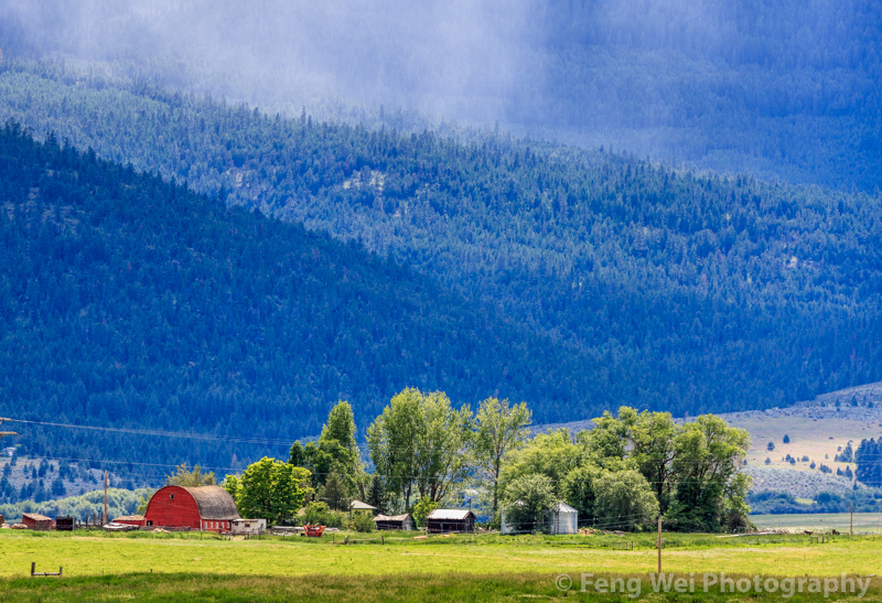
Rural Landscape, Montana USA
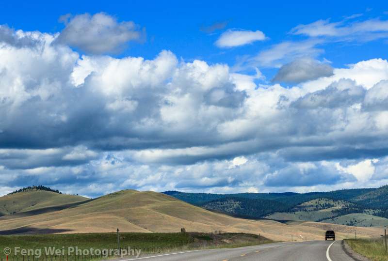
Scenic Drive, Montana USA

Self Portrait October 3rd, 2012
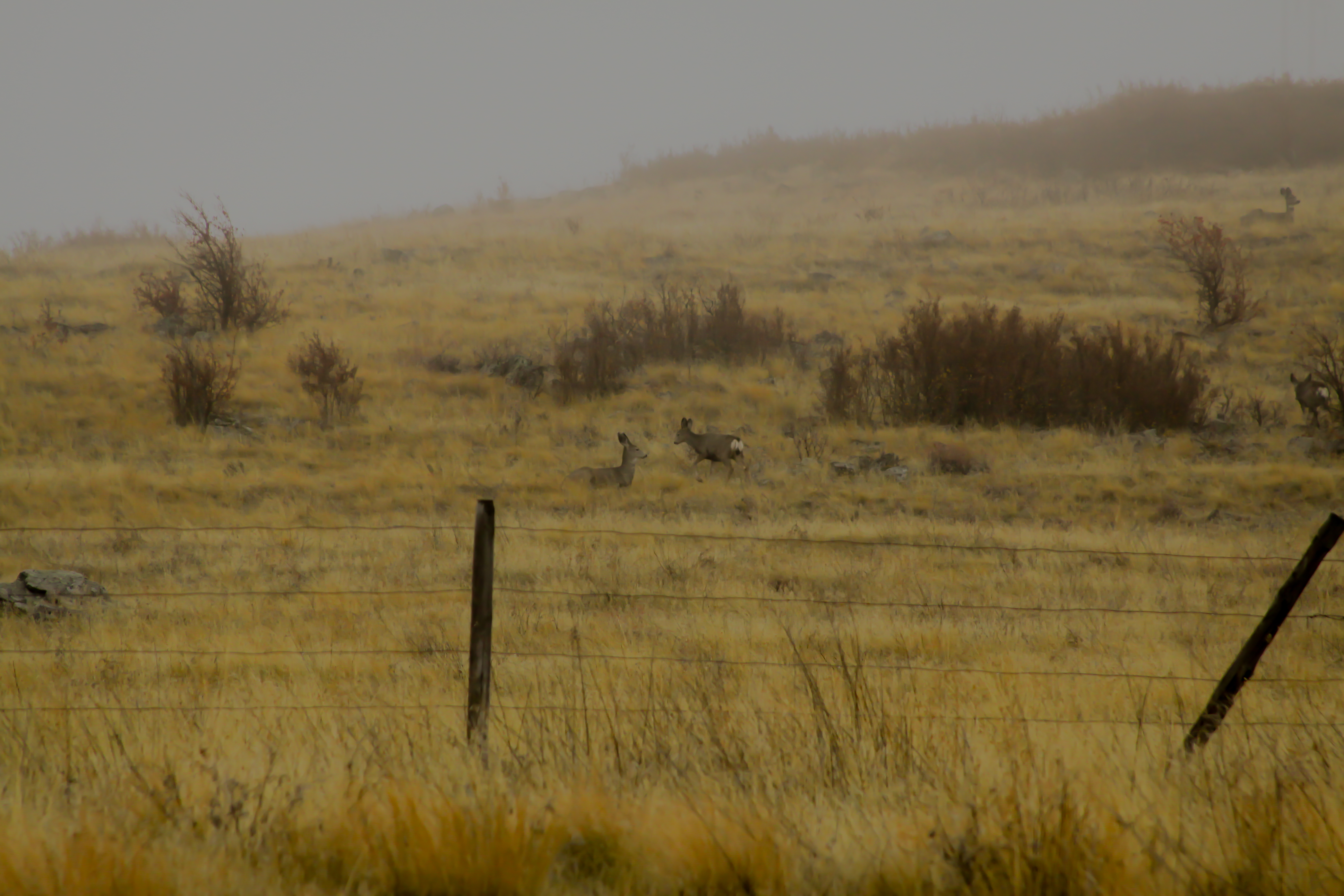
Montana Deer
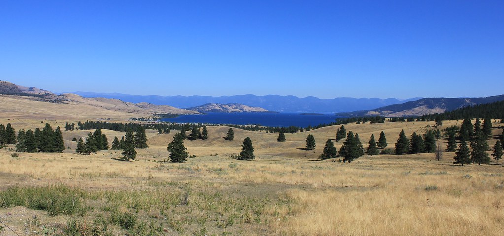
Flathead Lake, MT

On Road 28 Between Elmo and Niarada, Montana

Some males kept eyeing us...
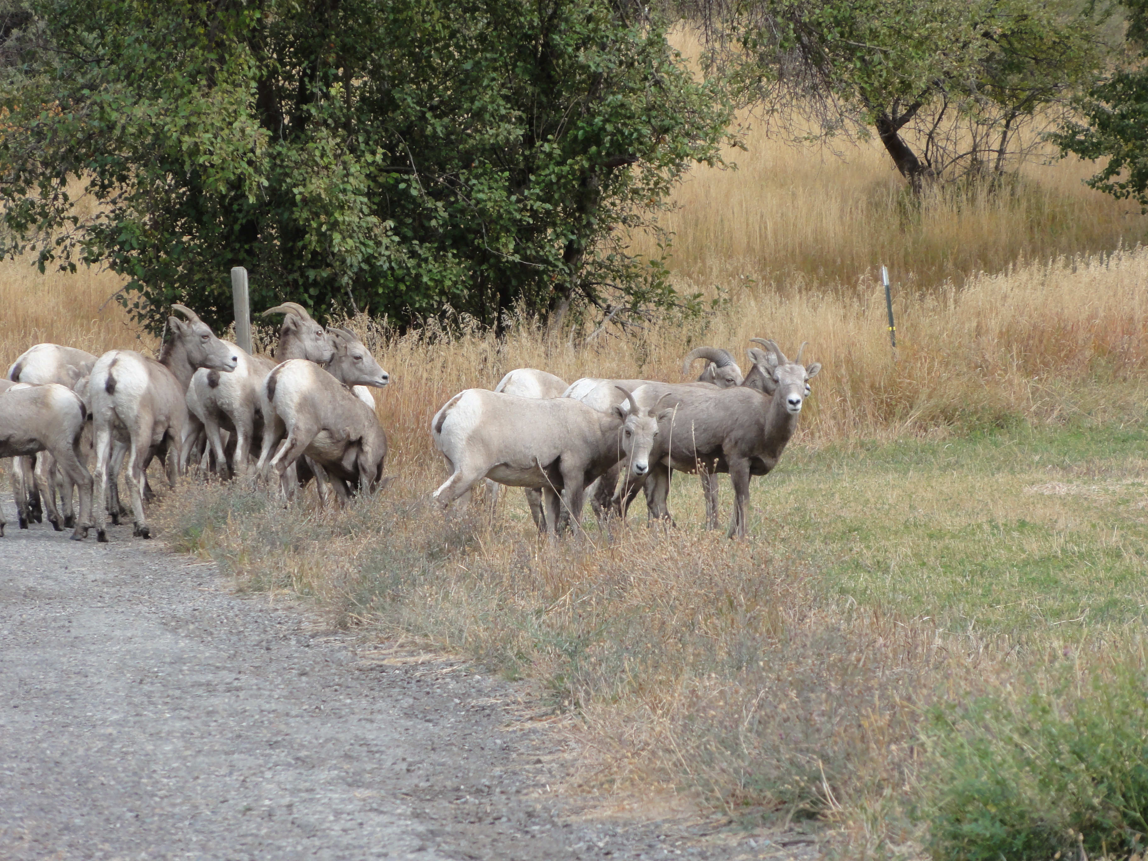
Montana Mountain Sheep
Topographic Map of 75 Bras Rd, Lonepine, MT, USA
Find elevation by address:

Places near 75 Bras Rd, Lonepine, MT, USA:
Hot Springs
Baldy Mountain
Rattling Horns Lane
155 Cedar Creek Rd
310 Cedar Creek Rd
252 Cedar Creek Rd
Upper Lynch Creek Rd, Plains, MT, USA
62 Three Tree Ln
345 High Country Rd
Irvine Flats Road
Deemer Cr Road
230 High Country Rd
370 Upper Lynch Creek Rd
Deemer Ridge Road
Farmer
Plains
Plains, MT, USA
7974 Mt-200
Paradise
Top Of The Rock Way
Recent Searches:
- Elevation of Corso Fratelli Cairoli, 35, Macerata MC, Italy
- Elevation of Tallevast Rd, Sarasota, FL, USA
- Elevation of 4th St E, Sonoma, CA, USA
- Elevation of Black Hollow Rd, Pennsdale, PA, USA
- Elevation of Oakland Ave, Williamsport, PA, USA
- Elevation of Pedrógão Grande, Portugal
- Elevation of Klee Dr, Martinsburg, WV, USA
- Elevation of Via Roma, Pieranica CR, Italy
- Elevation of Tavkvetili Mountain, Georgia
- Elevation of Hartfords Bluff Cir, Mt Pleasant, SC, USA