Elevation of Hoopersville Rd, Fishing Creek, MD, USA
Location: United States > Maryland > Dorchester County > 6, Hoopers Island > Fishing Creek >
Longitude: -76.183346
Latitude: 38.262825
Elevation: 0m / 0feet
Barometric Pressure: 101KPa
Elevation Map:
Satellite Map:
Related Photos:
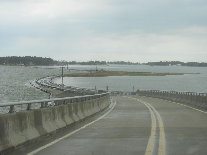
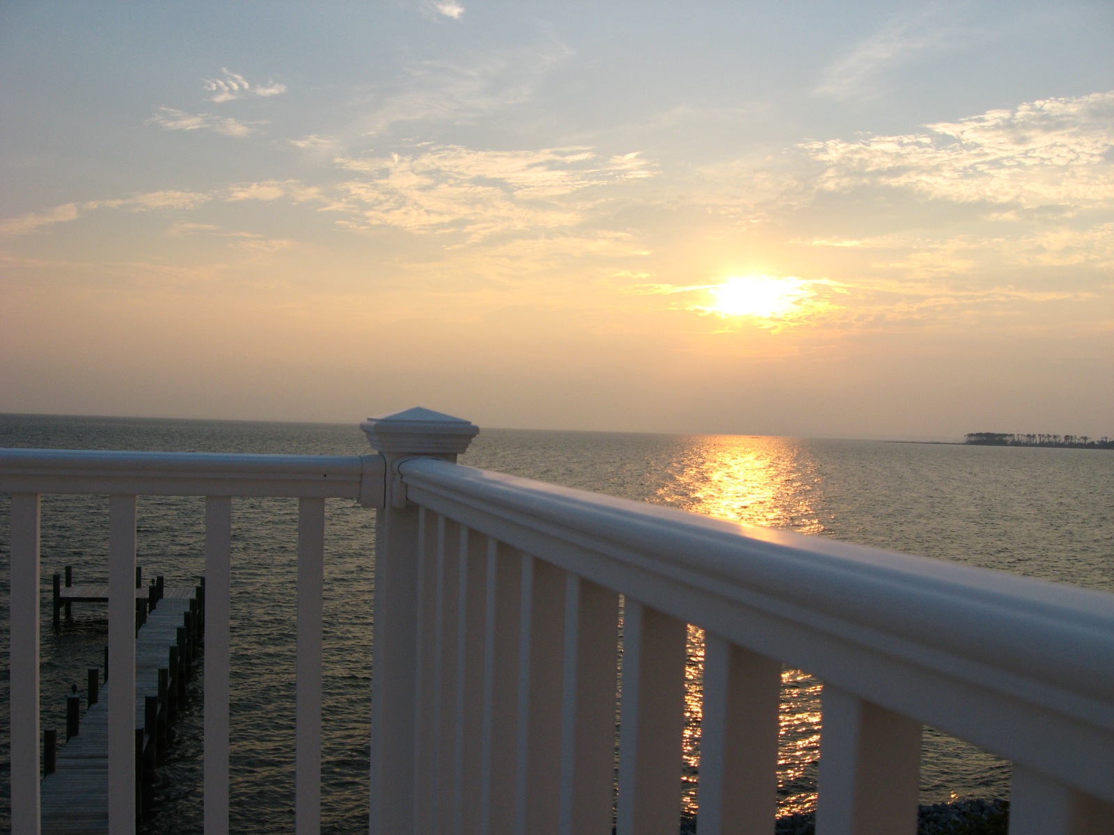
View atop the Narrows Ferry Bridge
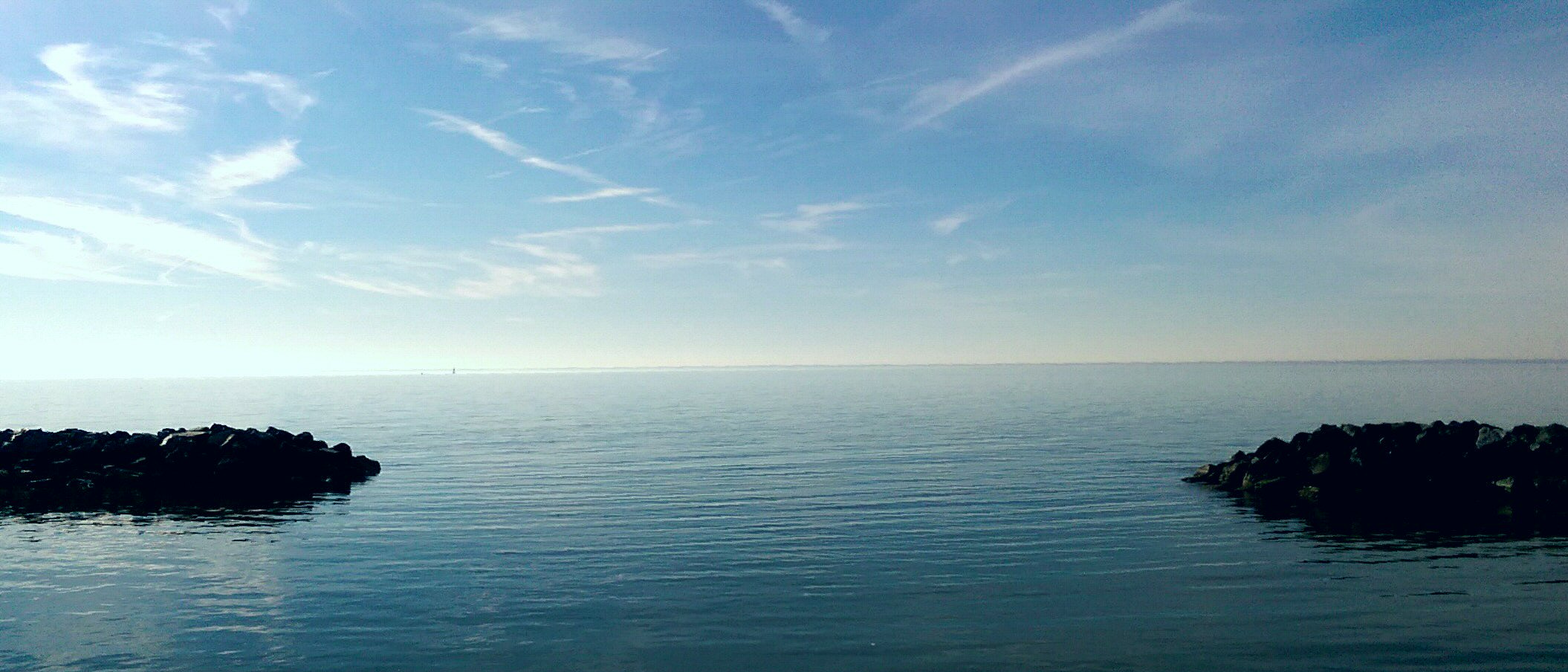
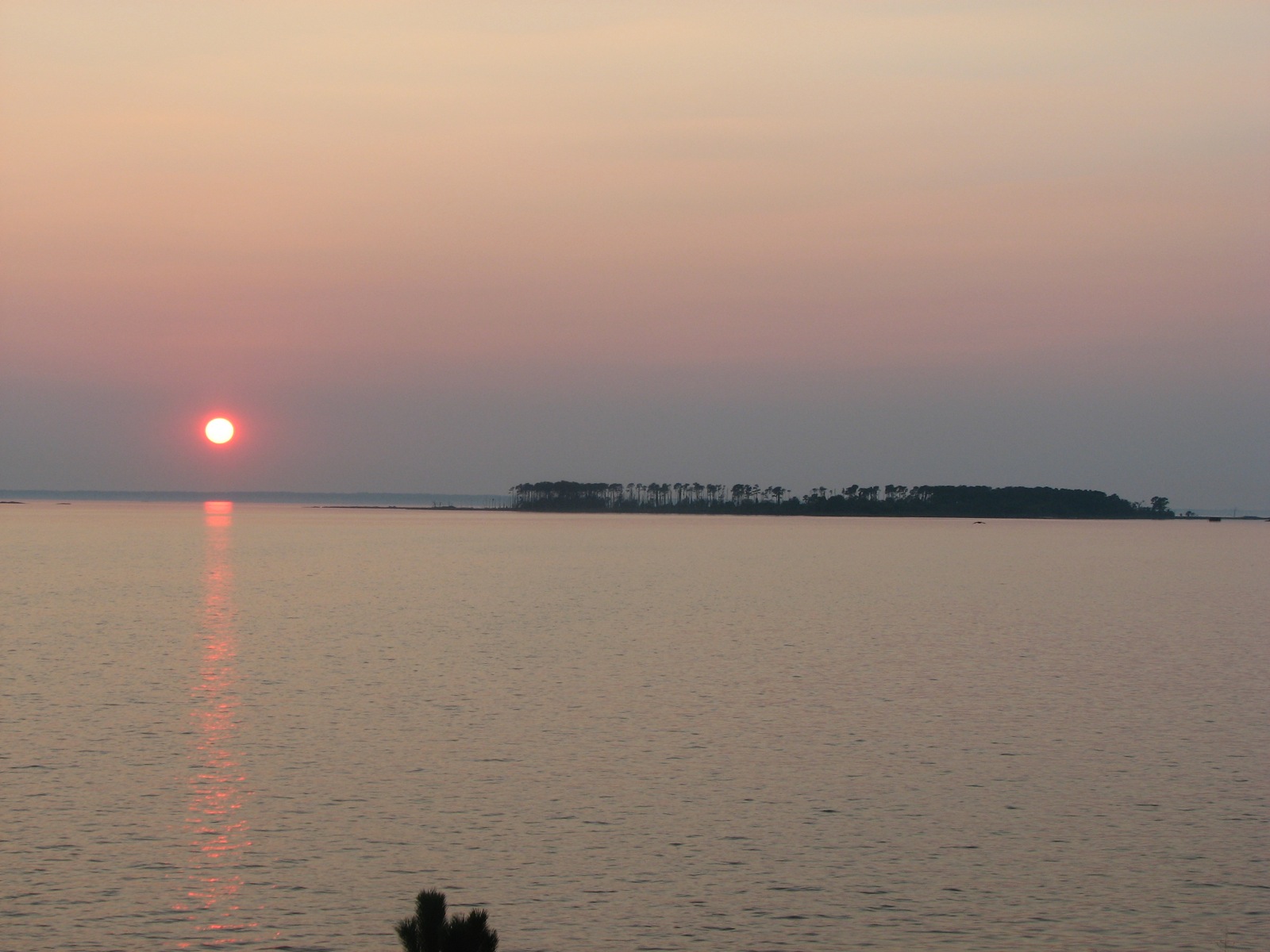
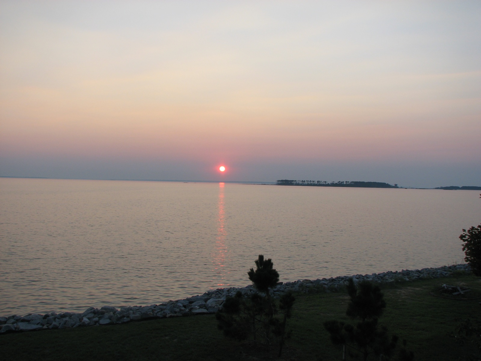
Calm on theChesapeake Bay

Hoopers Island

Hoopers Island

Hoopers Island
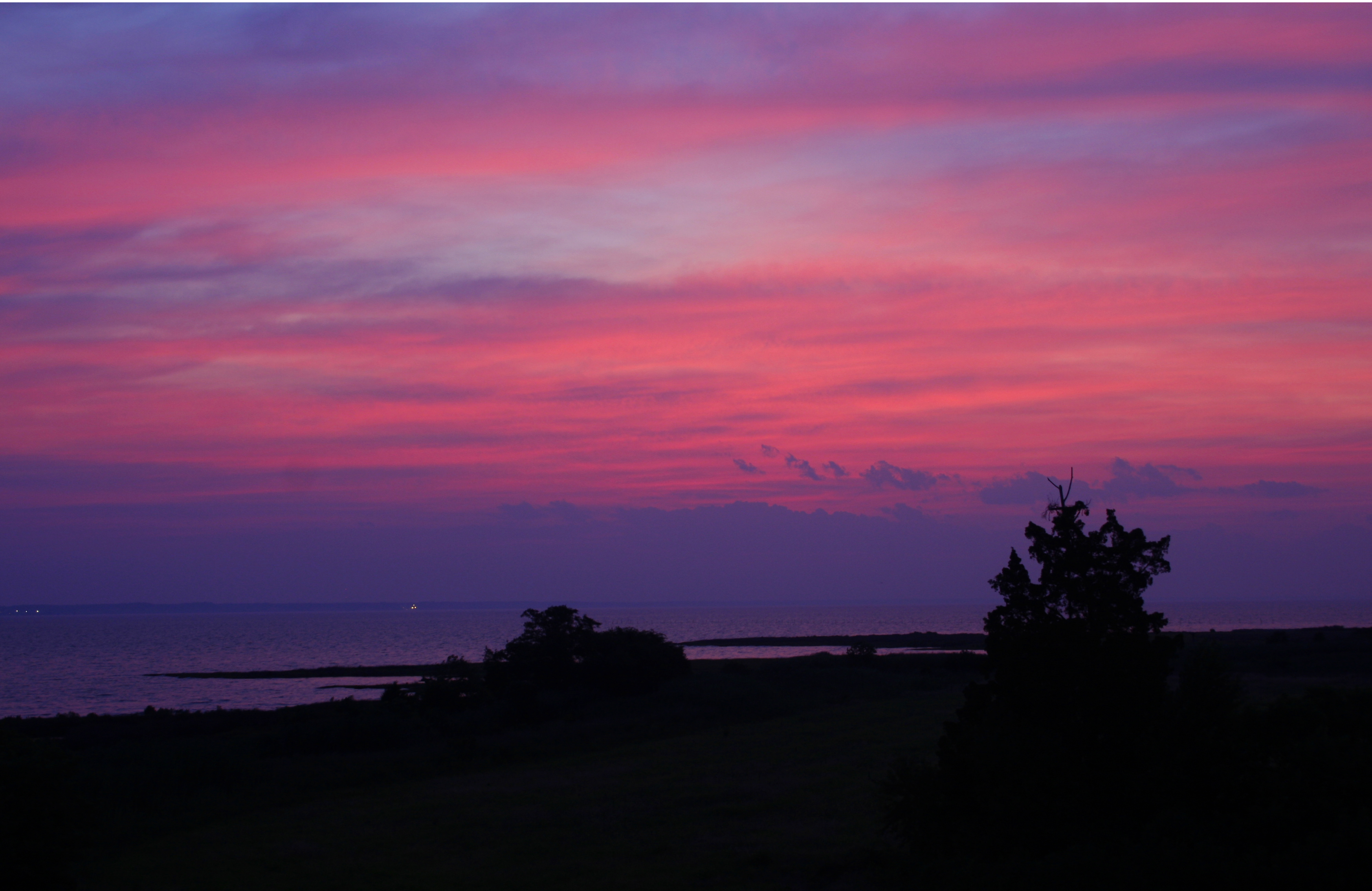
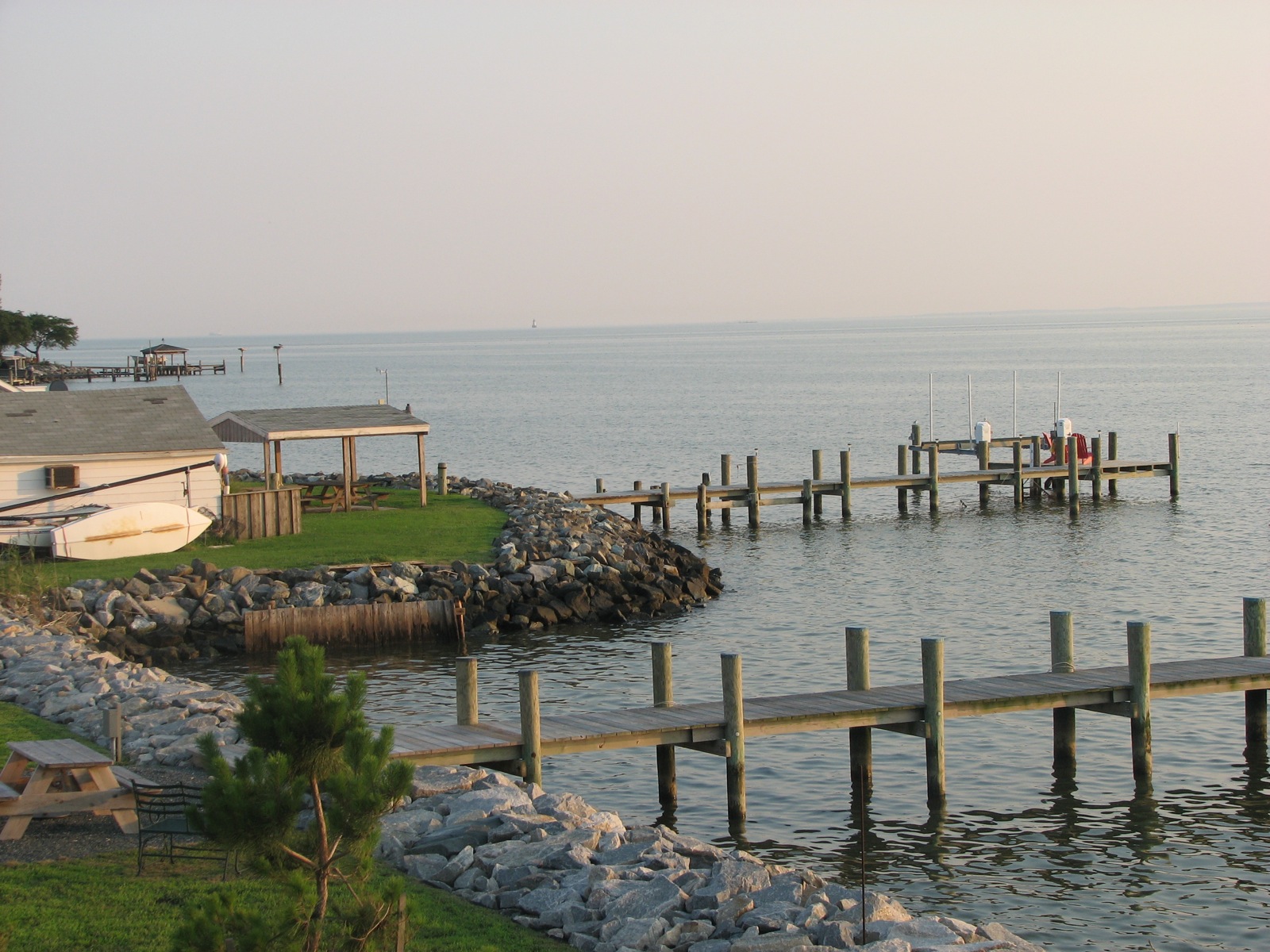
The way out...
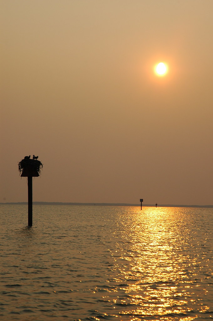
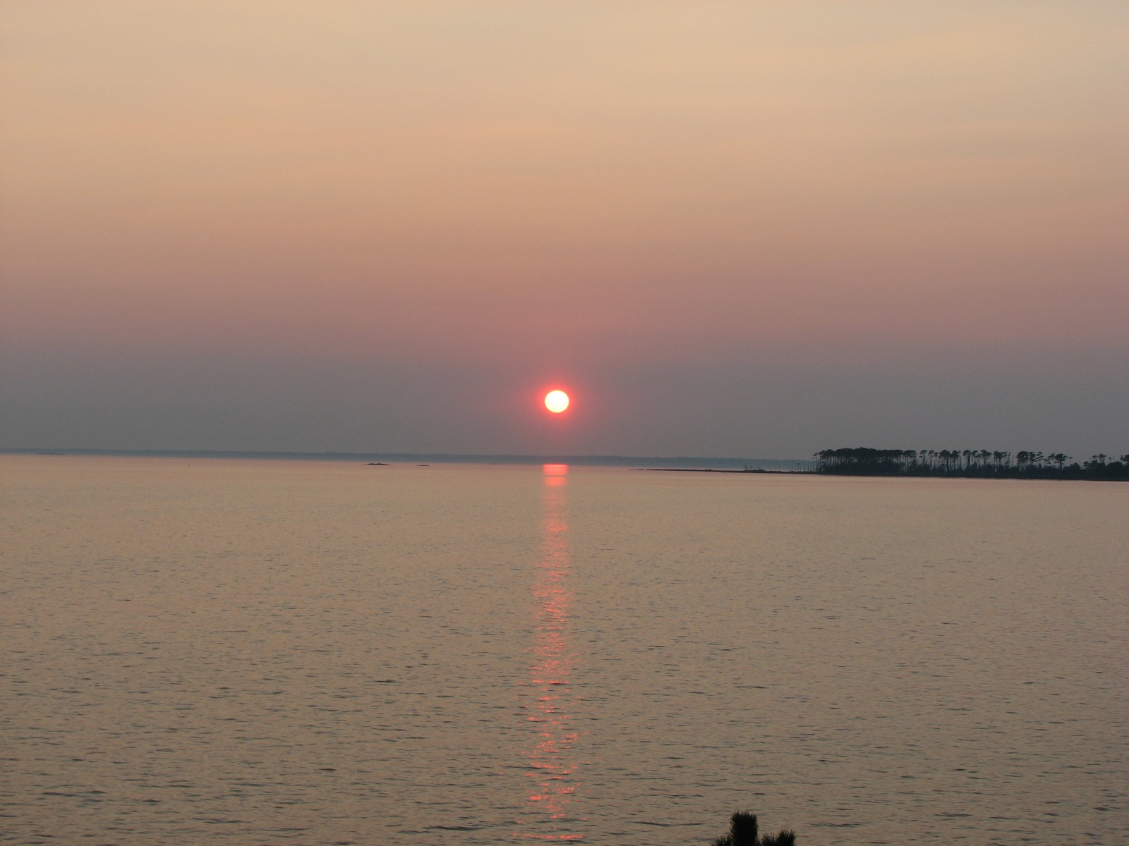
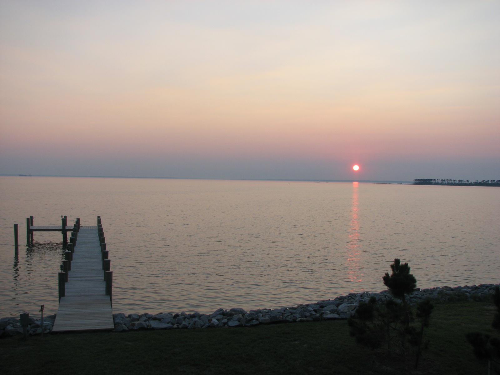
Sunset on the Chesapeake Bay

Newly planted marsh grass, Barren Island
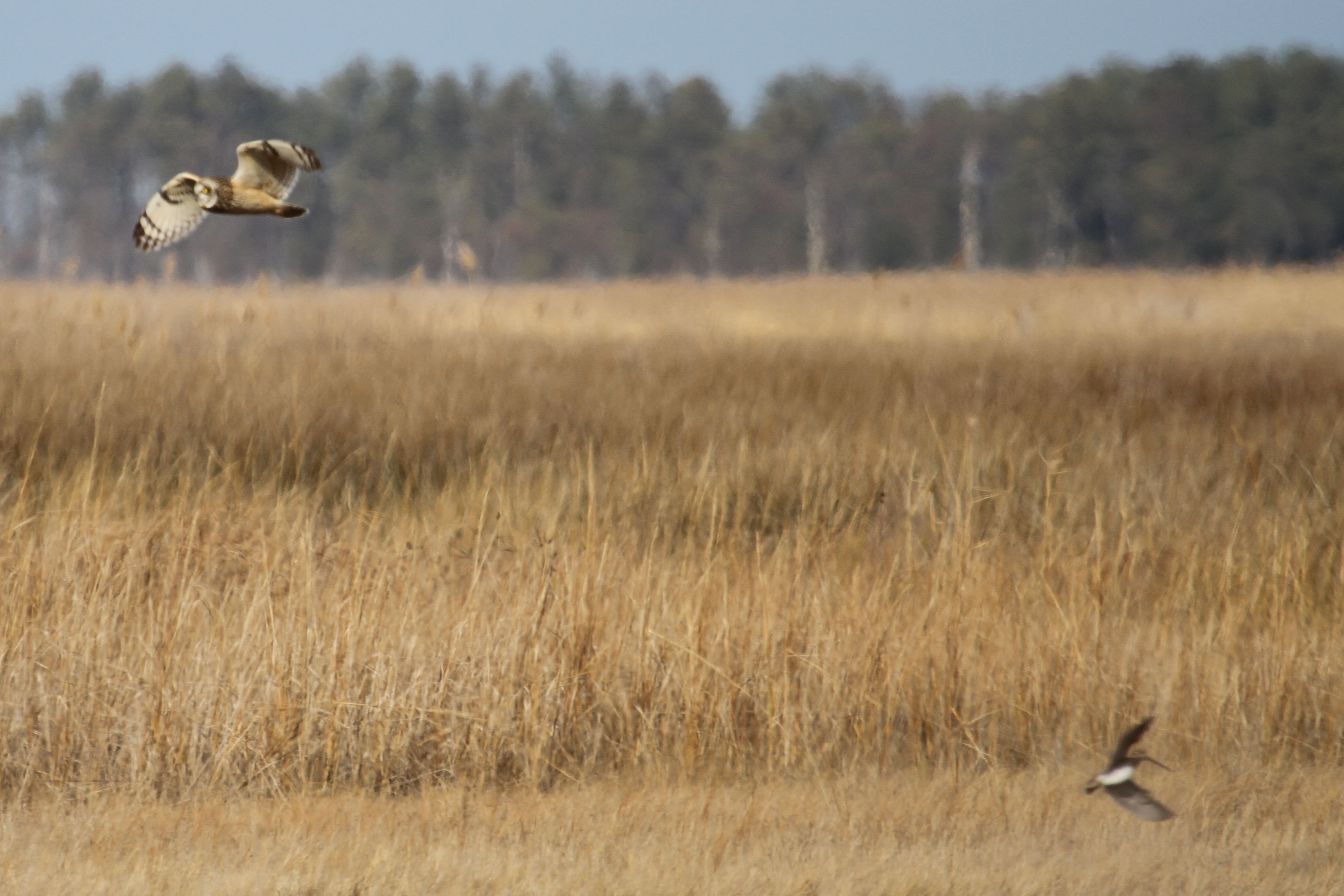
Short-eared Owl - Dorchester County
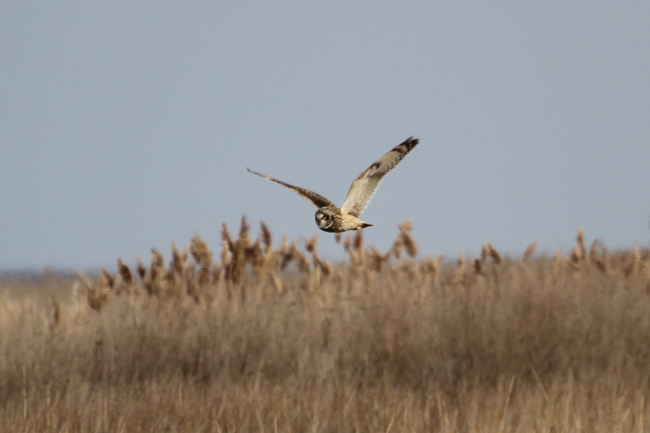
Short-eared Owl - Dorchester County
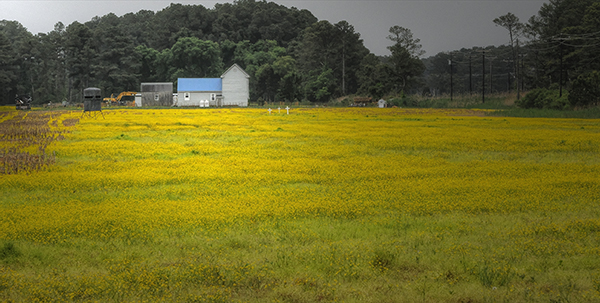
Blue Roof and Gold Field
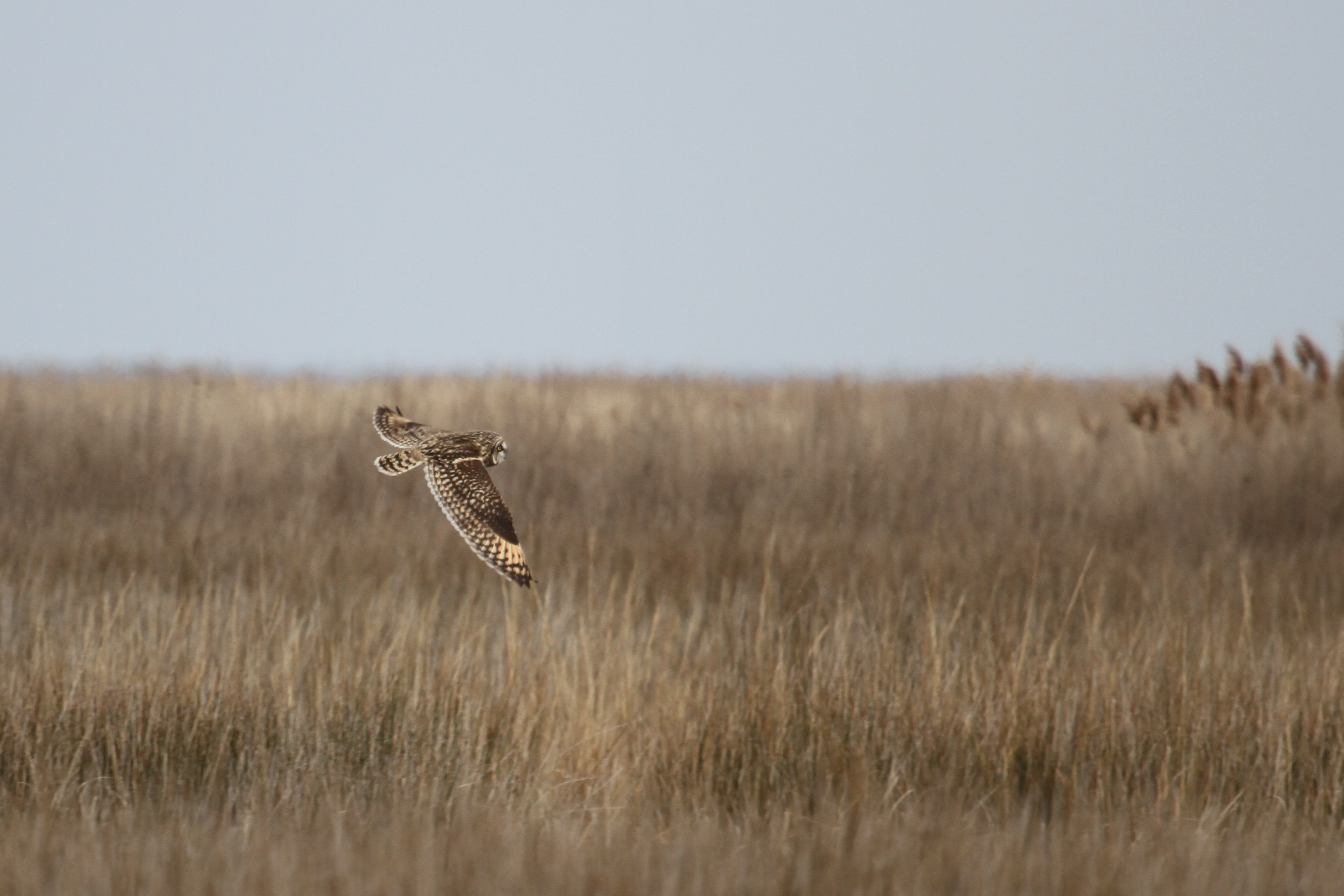
Short-eared Owl - Dorchester County

IMG_8123.JPG
IMG_8128.JPG
IMG_8127.JPG
IMG_7444.JPG
IMG_8075.JPG
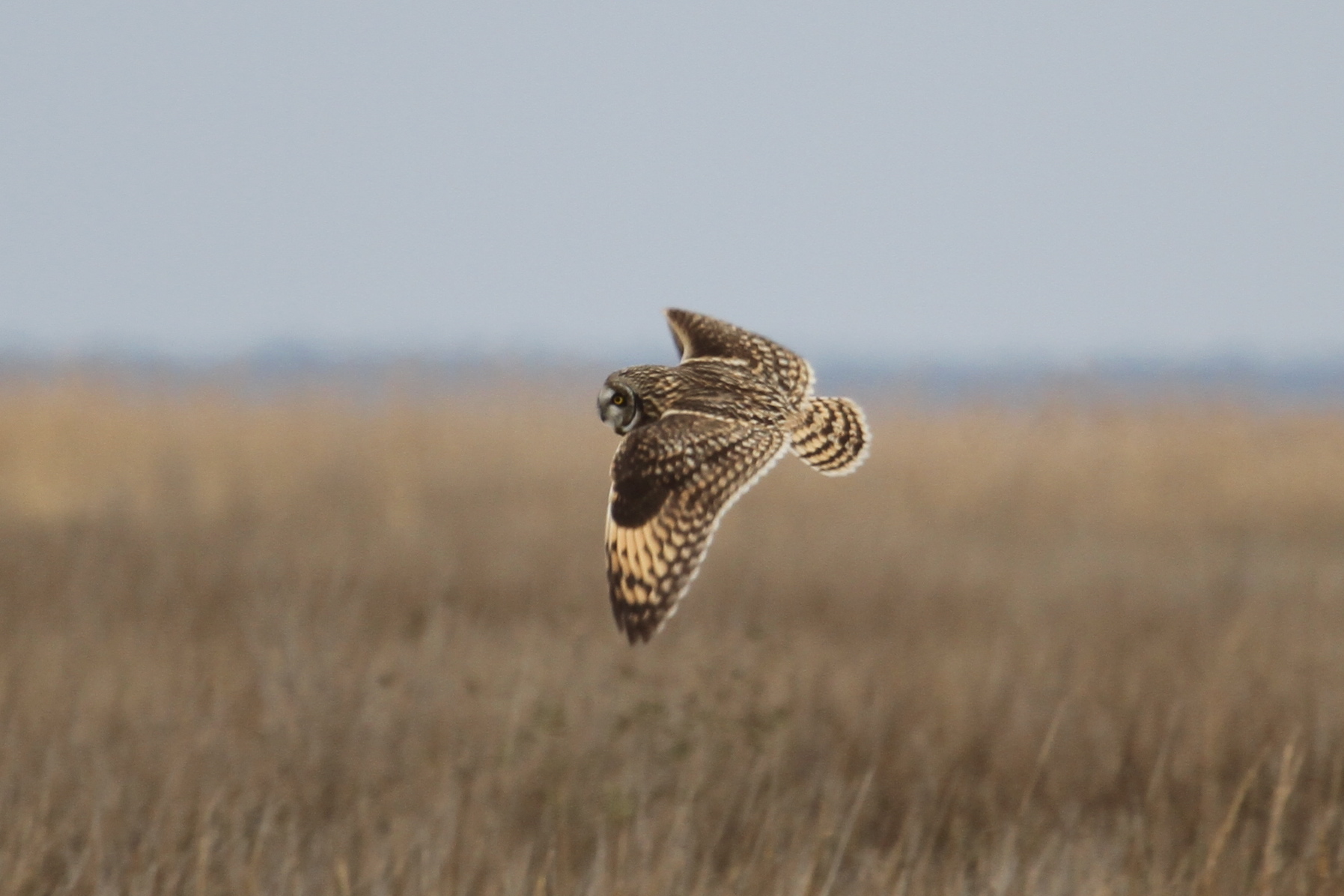
Short-eared Owl - Dorchester County
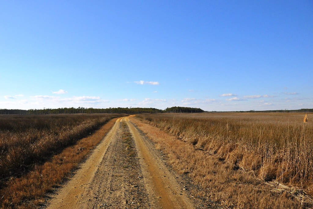
Road to Nowhere

Short-eared Owl - Dorchester County
IMG_8125.JPG
IMG_8124.JPG
Topographic Map of Hoopersville Rd, Fishing Creek, MD, USA
Find elevation by address:

Places near Hoopersville Rd, Fishing Creek, MD, USA:
Hoopersville Rd, Fishing Creek, MD, USA
Hoopersville Rd, Fishing Creek, MD, USA
6, Hoopers Island
2118 Wingate Bishops Head Rd
2562 Toddville Rd
Bishops Head Rd, Toddville, MD, USA
Toddville
2710 Toddville Rd
10, Straits
Bishops Head Rd, Crocheron, MD, USA
Phillps Gunning Club Rd, Crocheron, MD, USA
Crocheron
2248 Elliott Island Rd
2250 Elliott Island Rd
Elliott Island Rd, Vienna, MD, USA
18, Elliott
9, Tangier
Harrison Point Road
Harrison Point Road
10577 Harrison Point Rd
Recent Searches:
- Elevation of Congressional Dr, Stevensville, MD, USA
- Elevation of Bellview Rd, McLean, VA, USA
- Elevation of Stage Island Rd, Chatham, MA, USA
- Elevation of Shibuya Scramble Crossing, 21 Udagawacho, Shibuya City, Tokyo -, Japan
- Elevation of Jadagoniai, Kaunas District Municipality, Lithuania
- Elevation of Pagonija rock, Kranto 7-oji g. 8"N, Kaunas, Lithuania
- Elevation of Co Rd 87, Jamestown, CO, USA
- Elevation of Tenjo, Cundinamarca, Colombia
- Elevation of Côte-des-Neiges, Montreal, QC H4A 3J6, Canada
- Elevation of Bobcat Dr, Helena, MT, USA