Elevation of Elliott Island Rd, Vienna, MD, USA
Location: United States > Maryland > Dorchester County > 18, Elliott >
Longitude: -76.008085
Latitude: 38.310075
Elevation: 4m / 13feet
Barometric Pressure: 101KPa
Elevation Map:
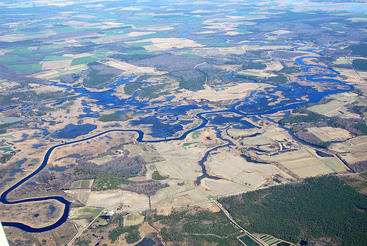
Satellite Map:
Related Photos:
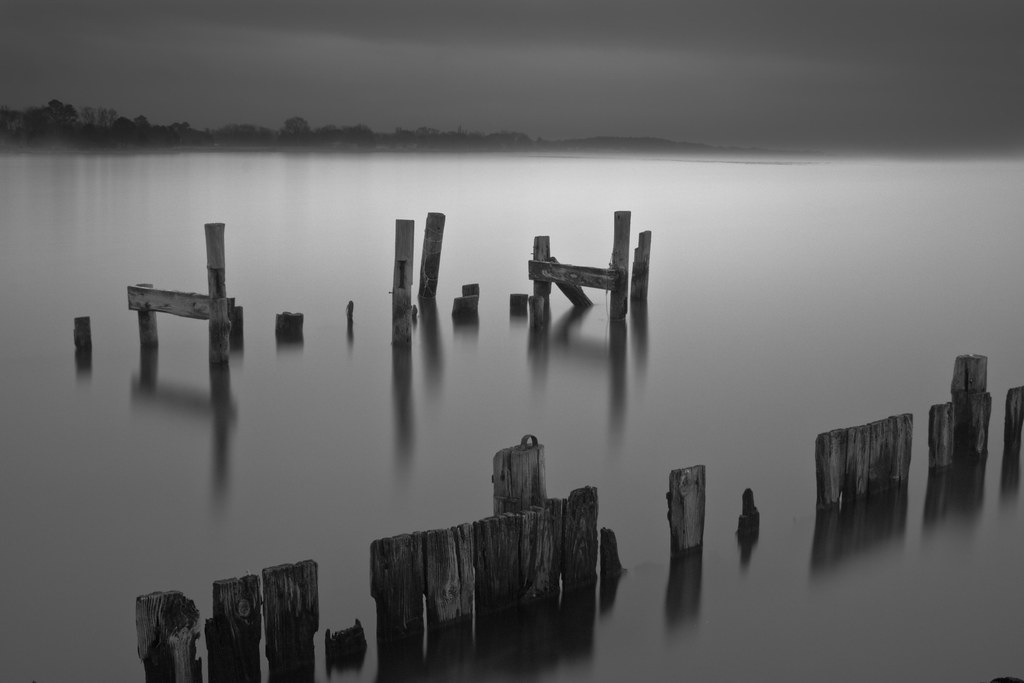
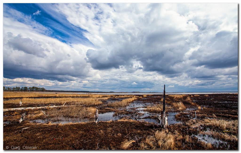
Storm and Mist
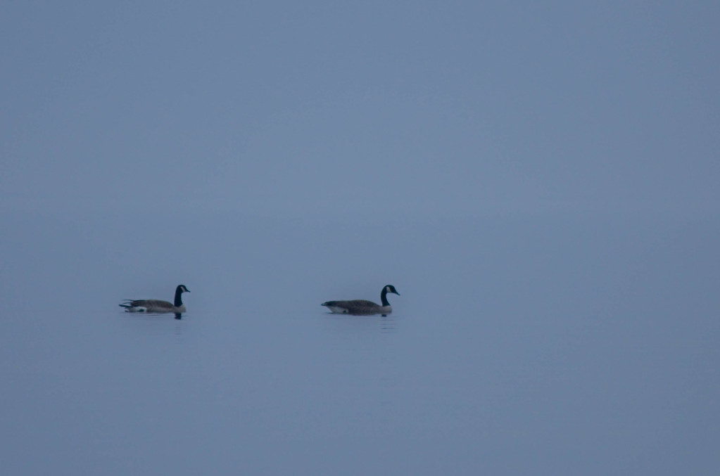
'Ats a lot of blue, eh?
Blackwater From The Observation Deck
Bird's Eye View
Eternal View
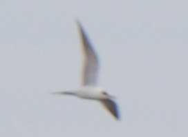
Forster's Tern - Blackwater NWR - 31 December 2015
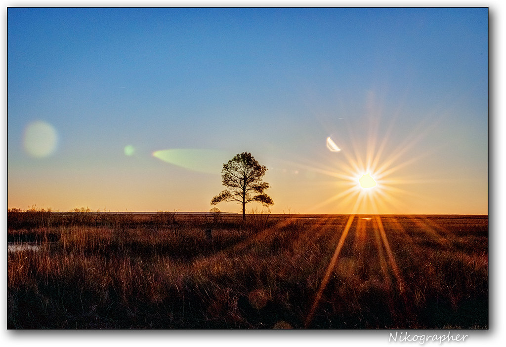
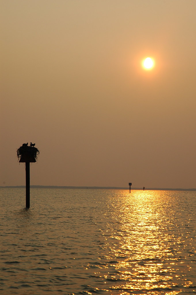
Sunrise @ Blackwater

Blackwater National Wildlife Refuge
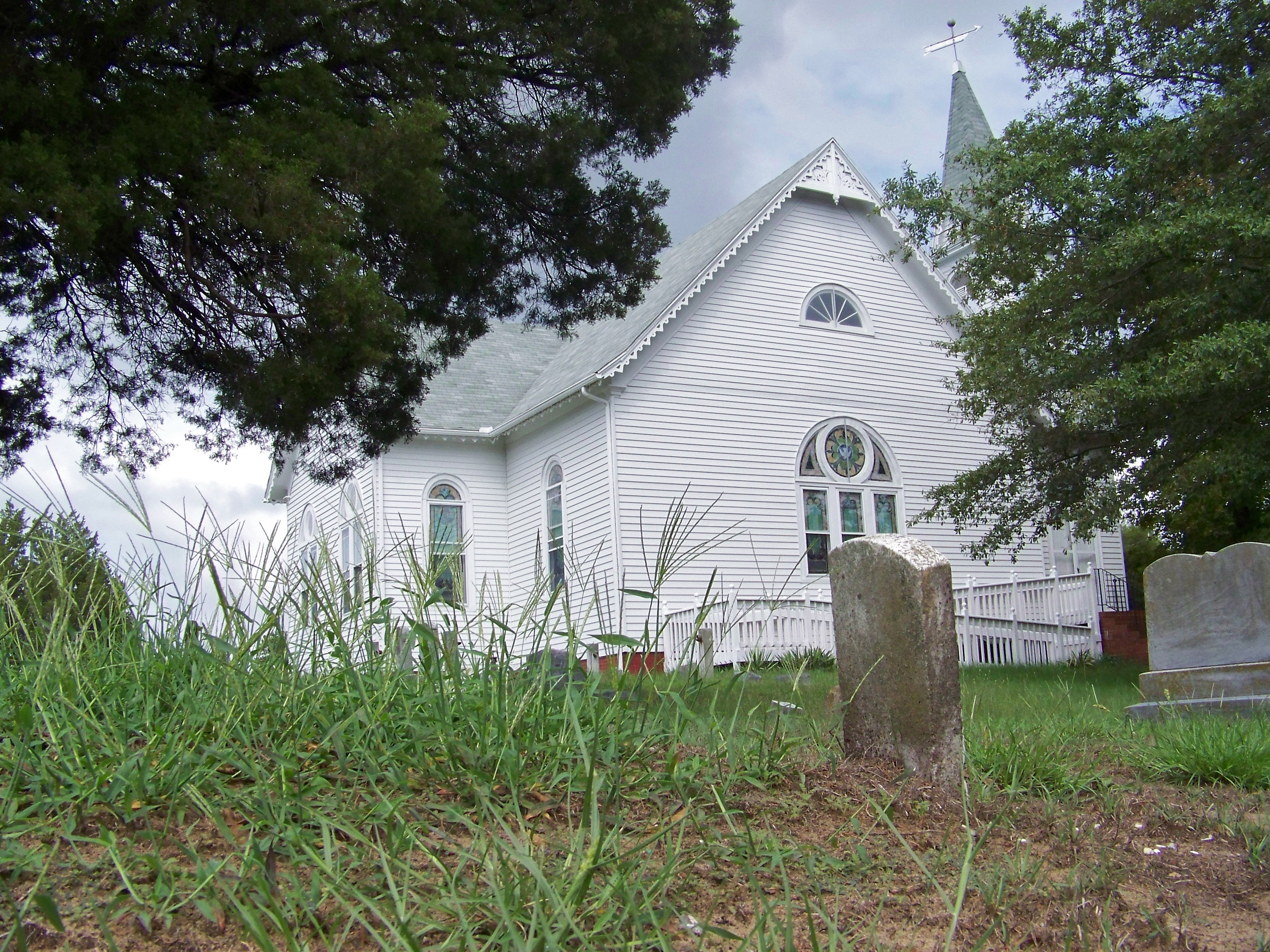
National Treasure!
Blackwater NWR

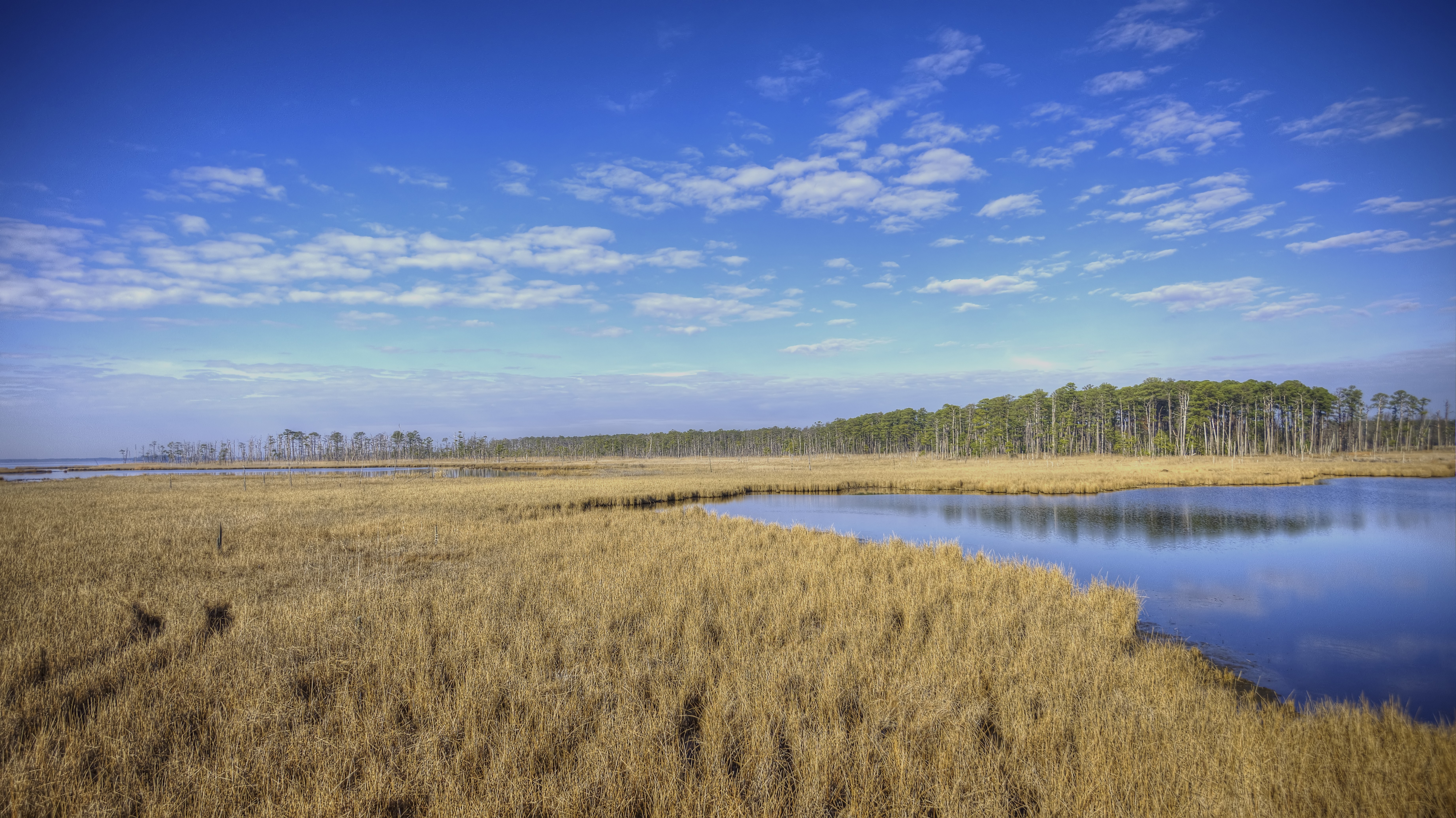
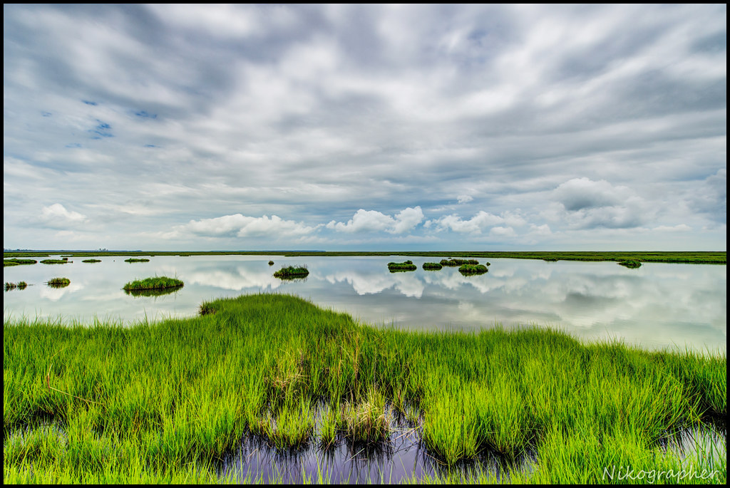
Blackwater National Wildlife Refuge Marsh

Blackwater National Wildlife Refuge
The way out...
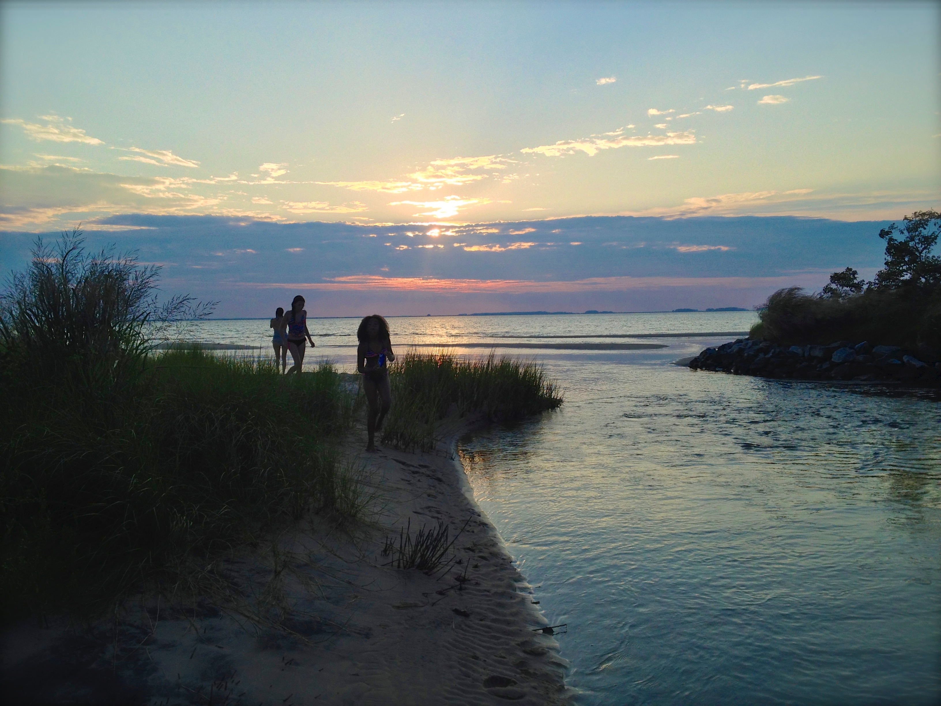
Summer Dayz

#sunset
Blackwater National Wildlife Refuge
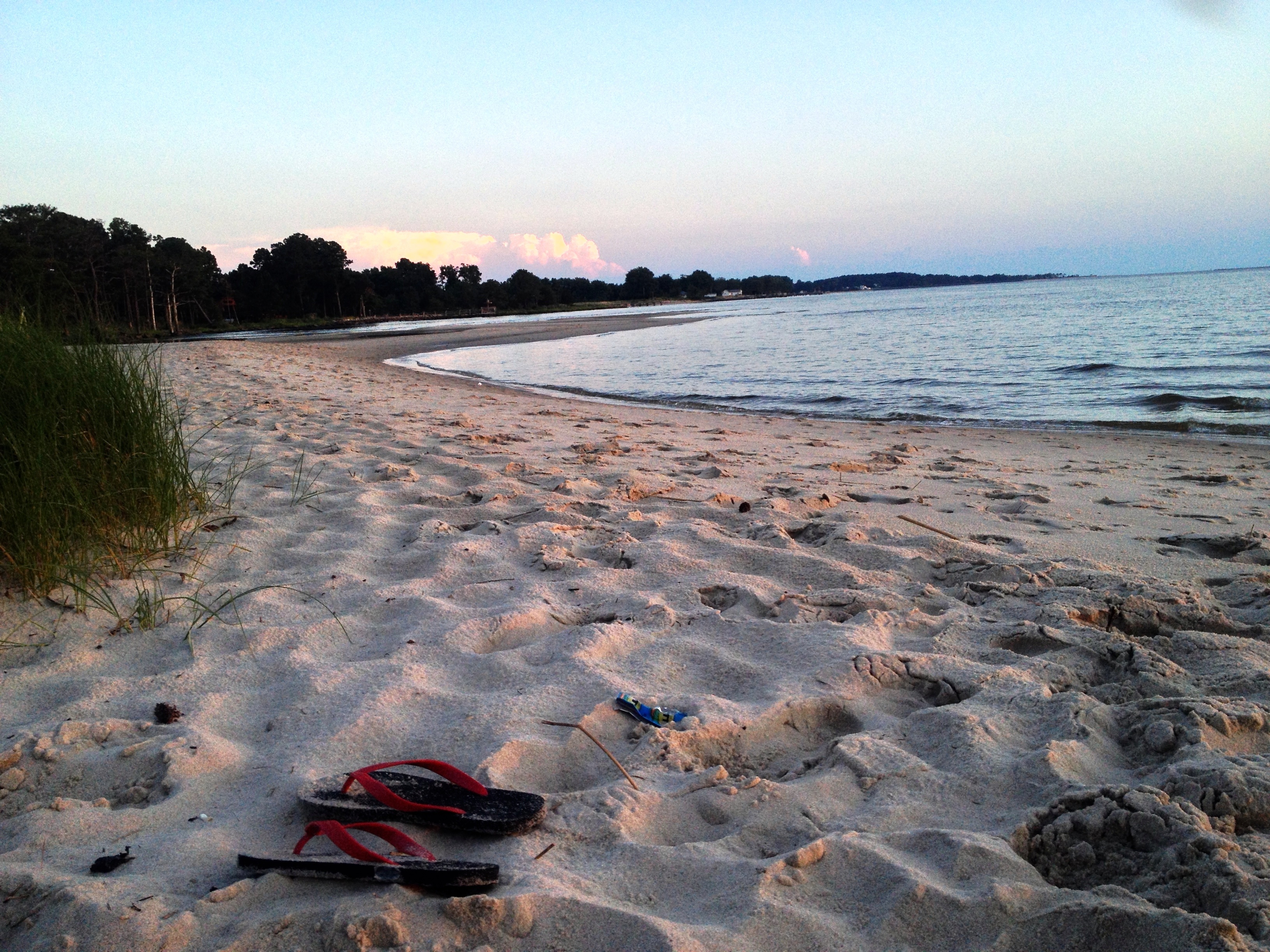
chesapeake bay beach
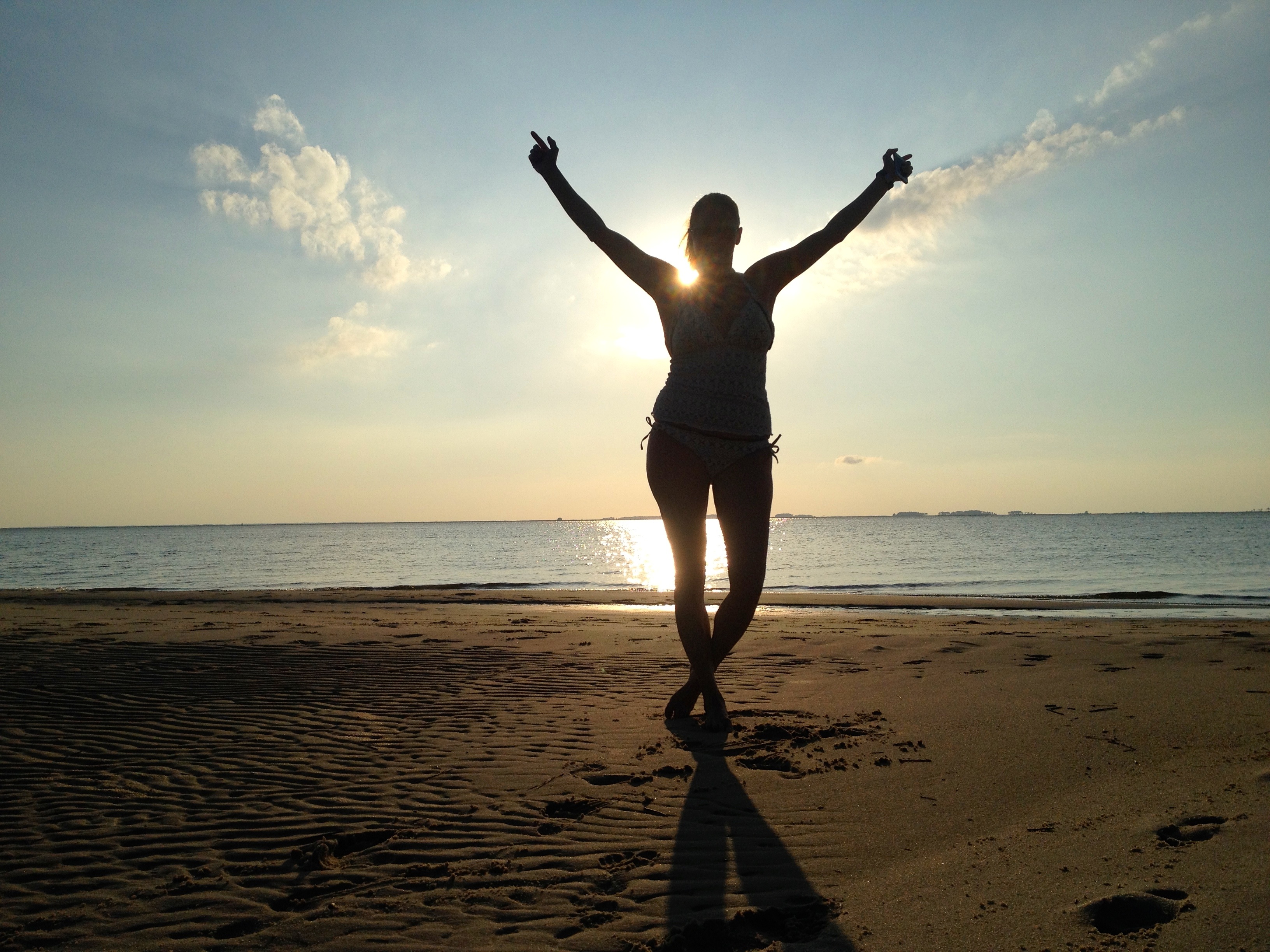
summer dayz
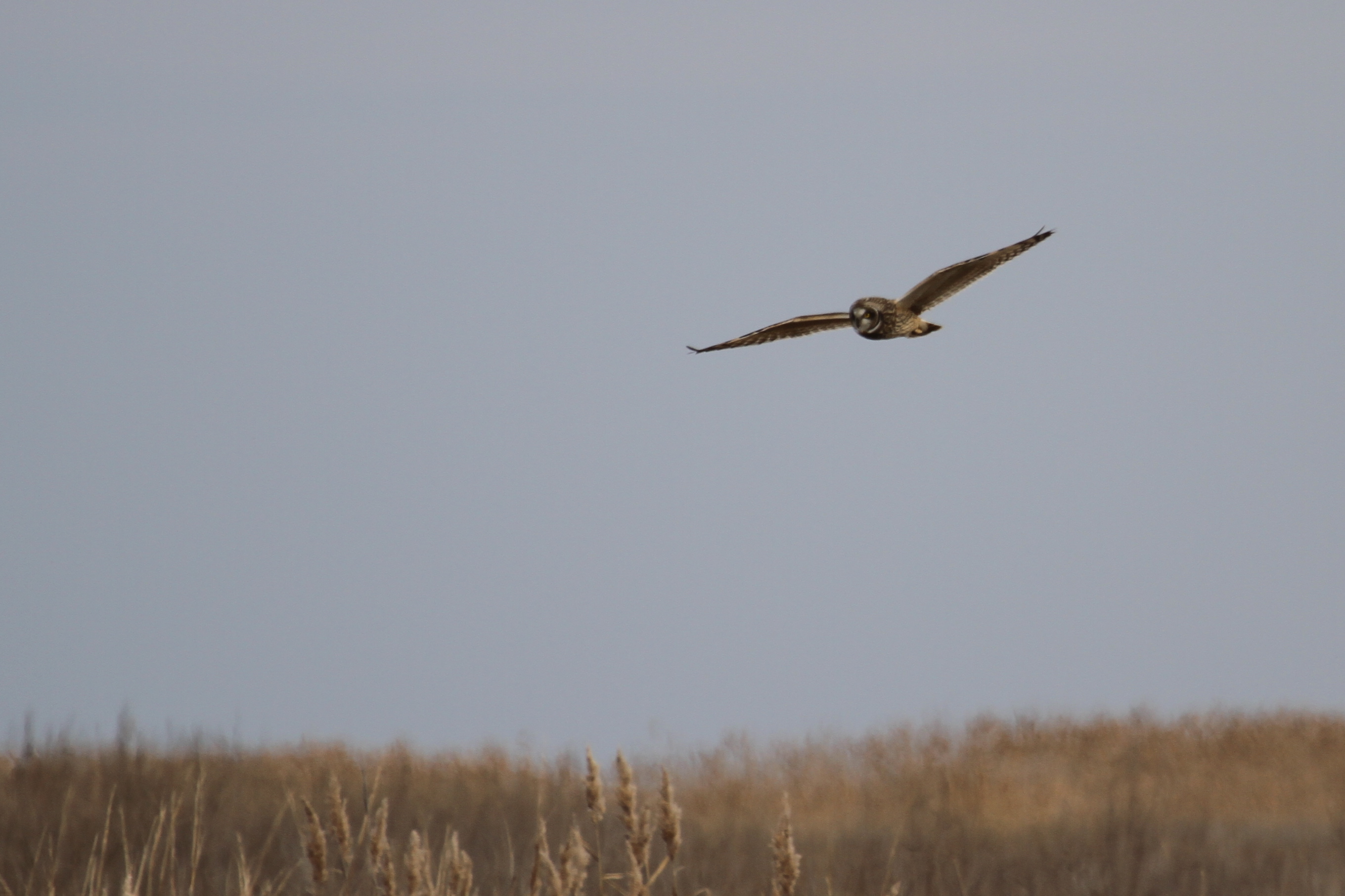
Short-eared Owl - Dorchester County
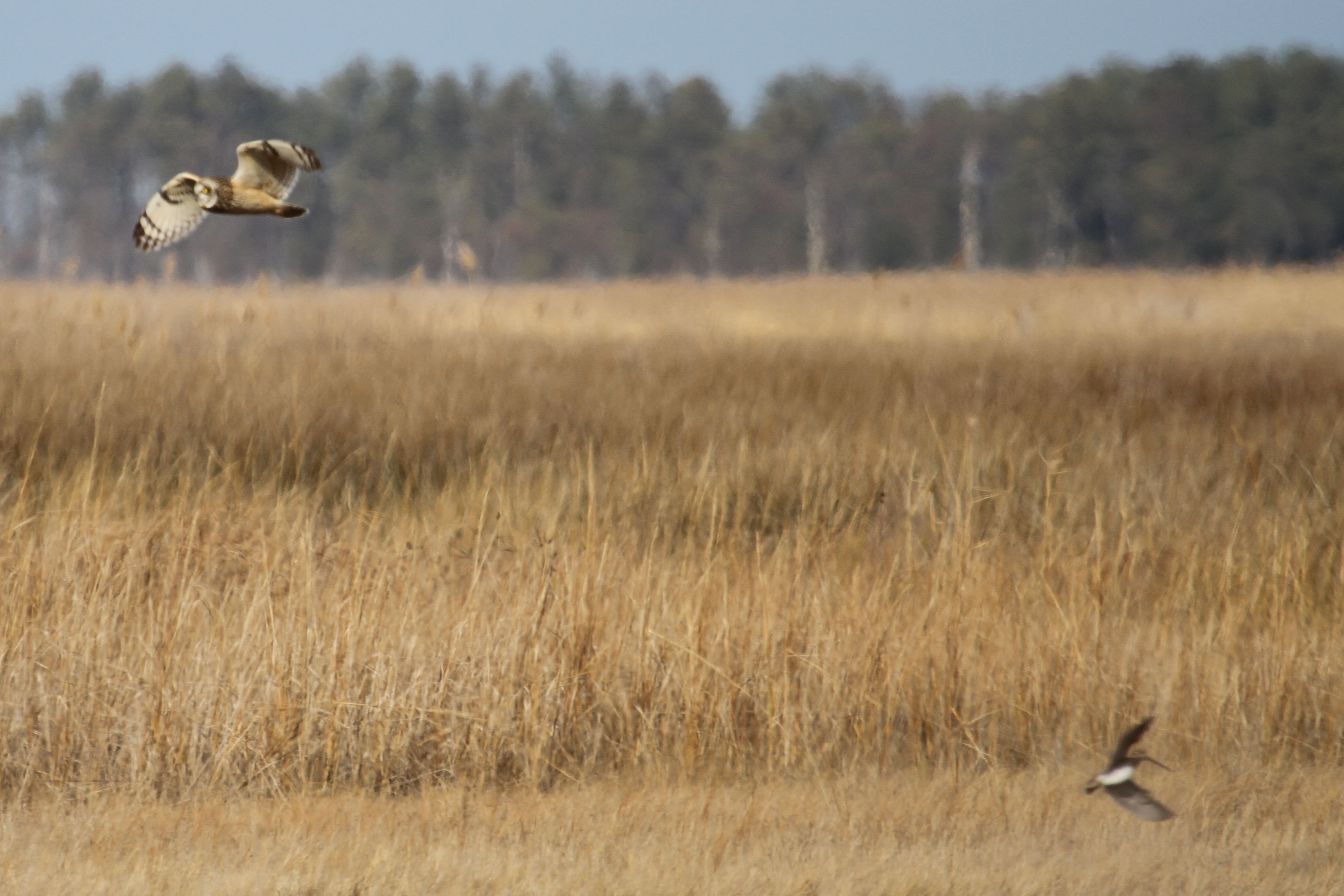
Short-eared Owl - Dorchester County
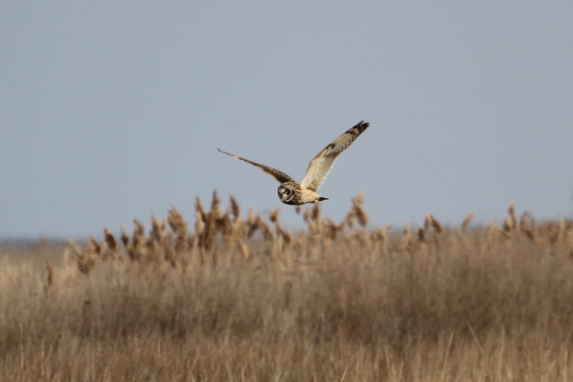
Short-eared Owl - Dorchester County

SEOW_2009-01-01_MapleDamRd_0004C

Blackwater Wildlife Refuge, Maryland
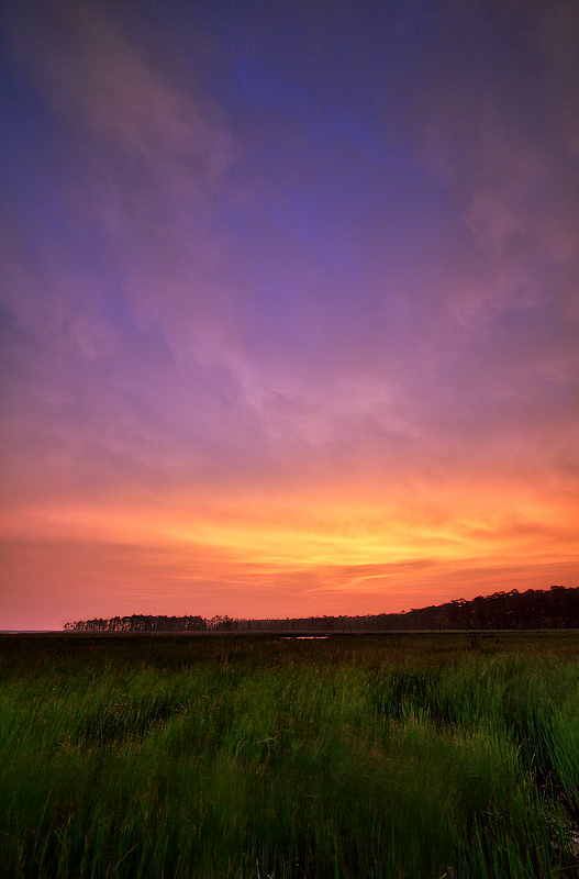
Blackwater Sunset

Roaring Point Sept 22 2012 040
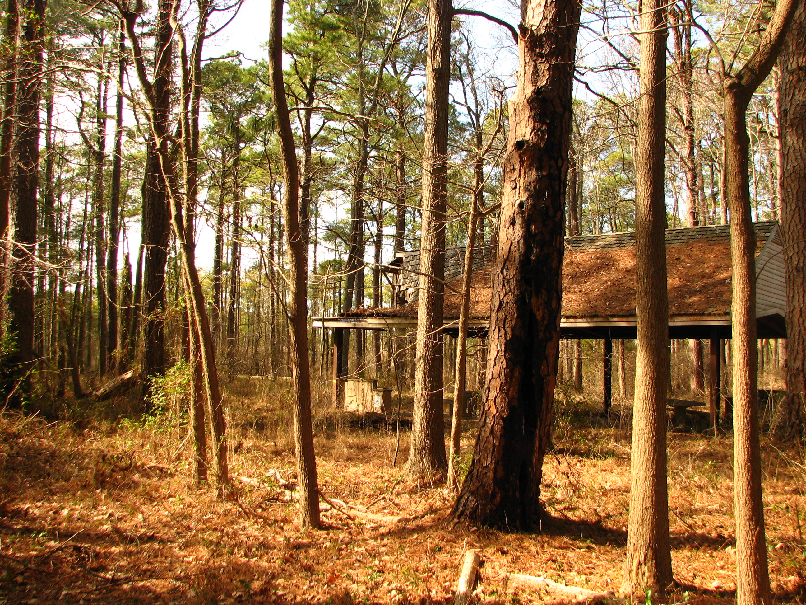
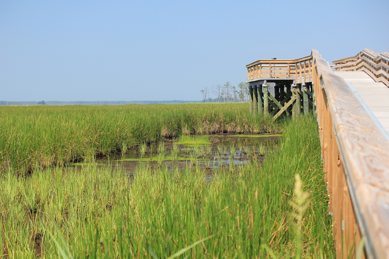
Blackwater National Wildlife Refuge, MD 20070305 018 Marsh Edge Trail
Topographic Map of Elliott Island Rd, Vienna, MD, USA
Find elevation by address:

Places near Elliott Island Rd, Vienna, MD, USA:
2248 Elliott Island Rd
Elliott Island Rd, Vienna, MD, USA
18, Elliott
2710 Toddville Rd
Toddville
2562 Toddville Rd
Crocheron
2118 Wingate Bishops Head Rd
Phillps Gunning Club Rd, Crocheron, MD, USA
Bishops Head Rd, Crocheron, MD, USA
Bishops Head Rd, Toddville, MD, USA
10, Straits
9, Tangier
Temple Road
Harrison Point Road
Harrison Point Road
10577 Harrison Point Rd
Chance
Deal Island
9940 Deal Island Rd
Recent Searches:
- Elevation of Elwyn Dr, Roanoke Rapids, NC, USA
- Elevation of Congressional Dr, Stevensville, MD, USA
- Elevation of Bellview Rd, McLean, VA, USA
- Elevation of Stage Island Rd, Chatham, MA, USA
- Elevation of Shibuya Scramble Crossing, 21 Udagawacho, Shibuya City, Tokyo -, Japan
- Elevation of Jadagoniai, Kaunas District Municipality, Lithuania
- Elevation of Pagonija rock, Kranto 7-oji g. 8"N, Kaunas, Lithuania
- Elevation of Co Rd 87, Jamestown, CO, USA
- Elevation of Tenjo, Cundinamarca, Colombia
- Elevation of Côte-des-Neiges, Montreal, QC H4A 3J6, Canada