Elevation of Holmwood Dr, Magalia, CA, USA
Location: United States > California > Butte County > Magalia >
Longitude: -121.59096
Latitude: 39.837178
Elevation: 757m / 2484feet
Barometric Pressure: 93KPa
Elevation Map:
Satellite Map:
Related Photos:

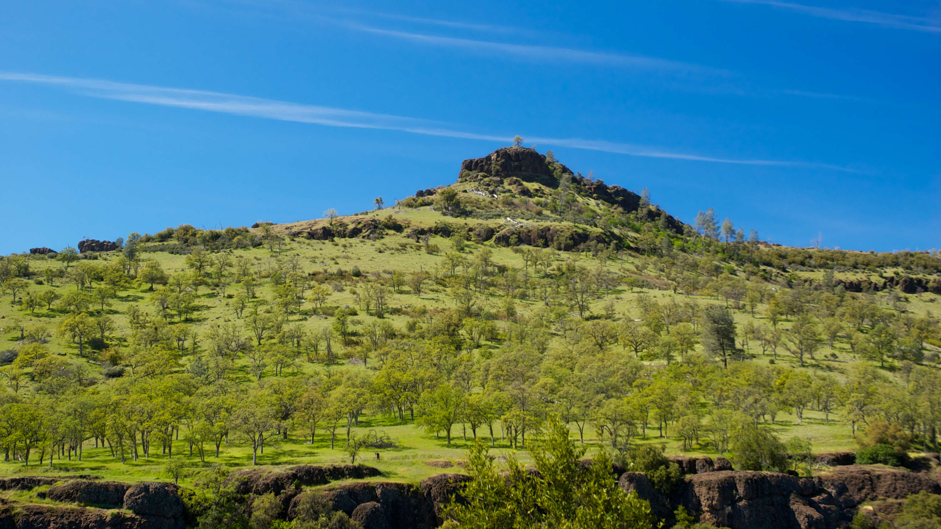
Her Spirit
Day 777 [8-5-15]: Honey Run Covered Bridge

fungus among us... {Explore #62}

diet coke and mentos

obey the earth

02•52 • dog nose

Christmas Nova Explosion in D Major
Gold and green
Feather River
June 12, 2008

spider webs of squirrels
Christmas Nova Explosion in D Minor
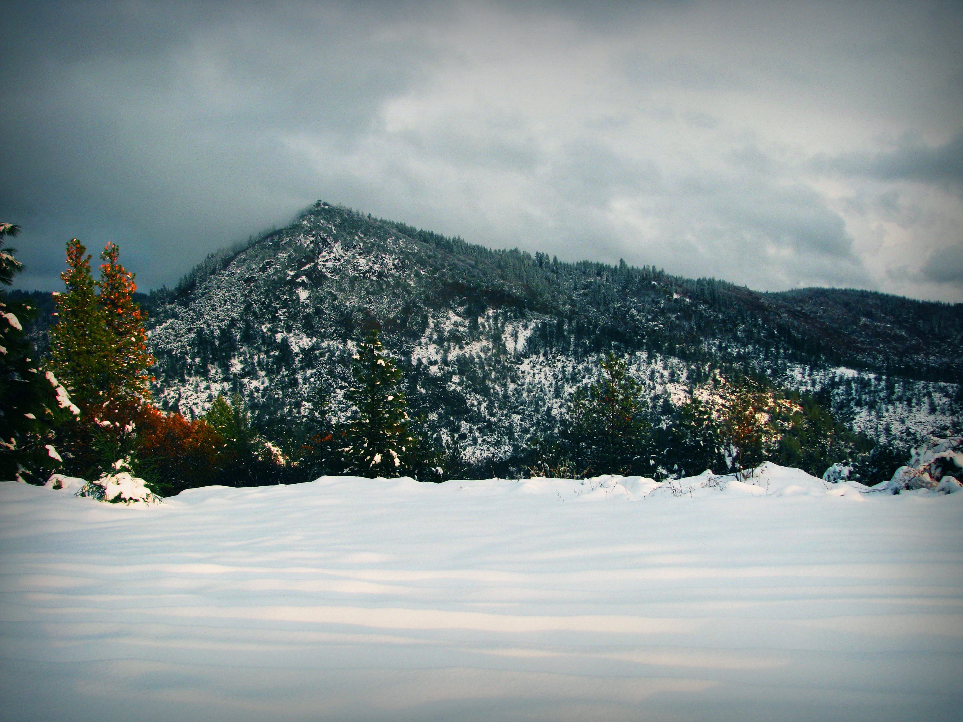
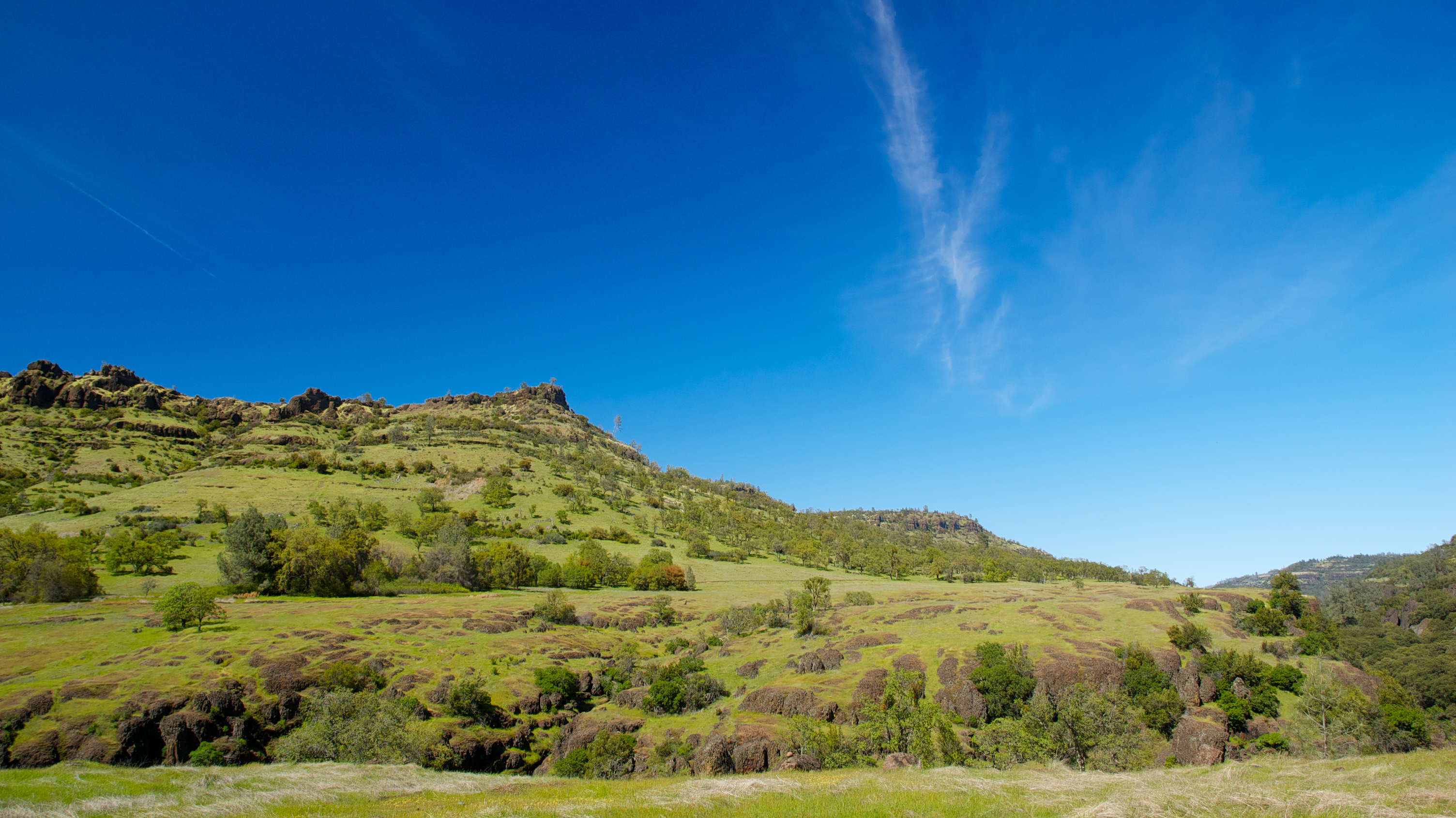
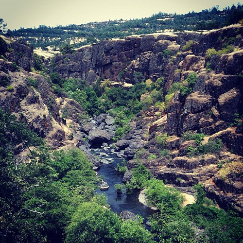
View from Old Magalia

Bridge Over the Feather River
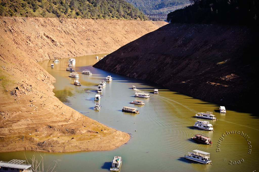
Lime Saddle v1.4

O'B (6)
Back view...
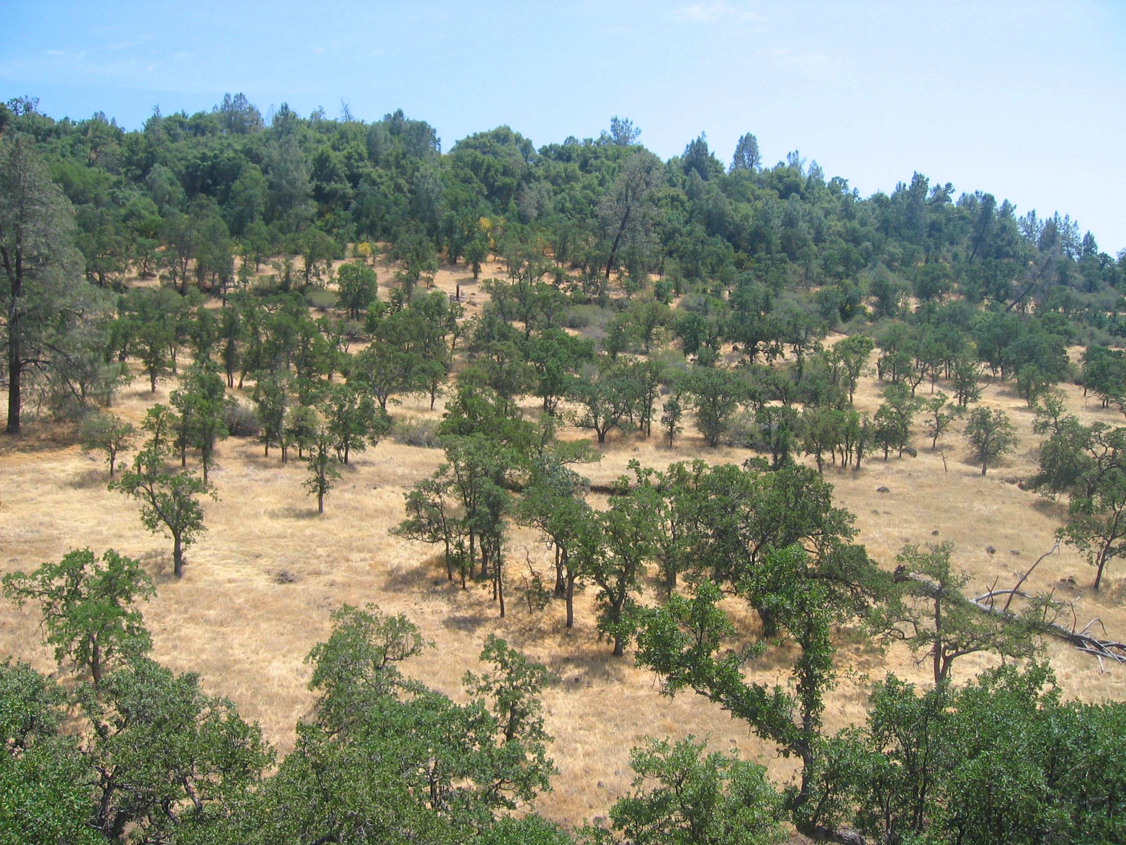
Chico Tree

Ronan is a boy.
BNSF Manifest Passing Poe Power Dam
BNSF Grain Train at Cresta S-Curve
Bidwell Park
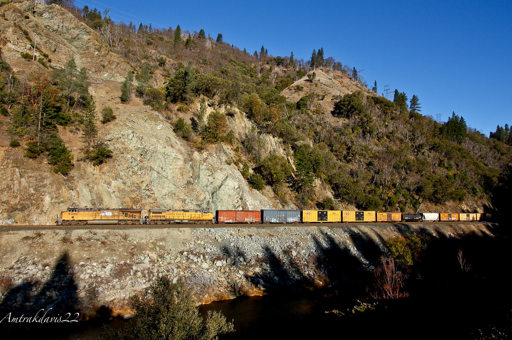
Union Pacific Manifest Along the Rocks at Pulga

Death Points the Way
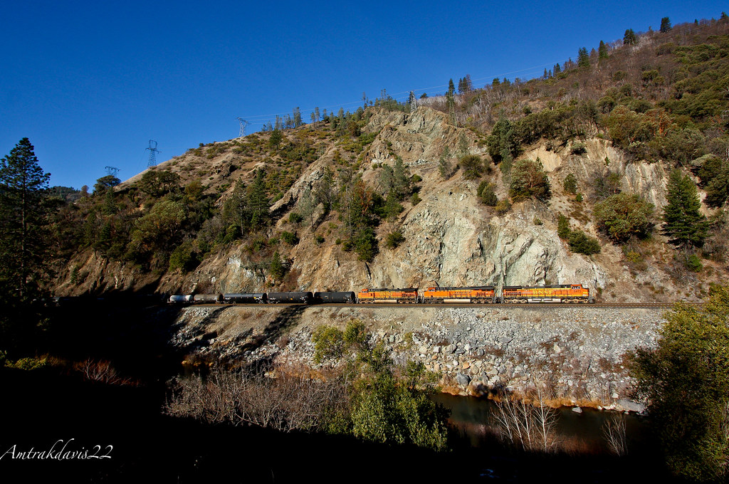
BNSF Railway Tackles the Feather River Canyon

Fire Material
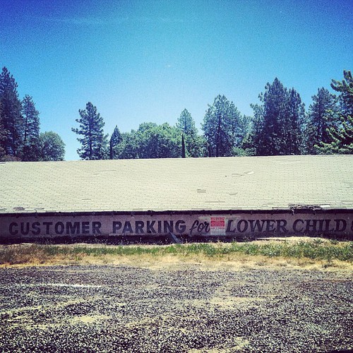
lower child?

Sky ablaze
Death Points the Way
Sooo blue

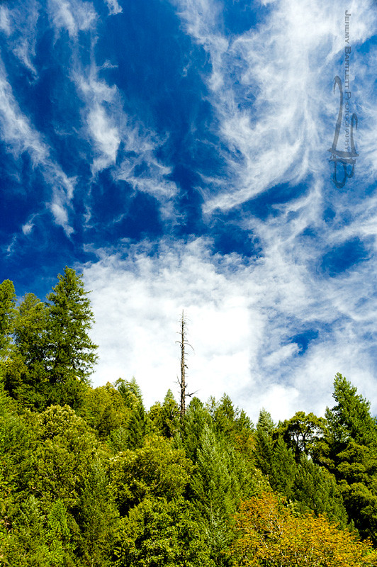
Morning Clouds
Clear Skies
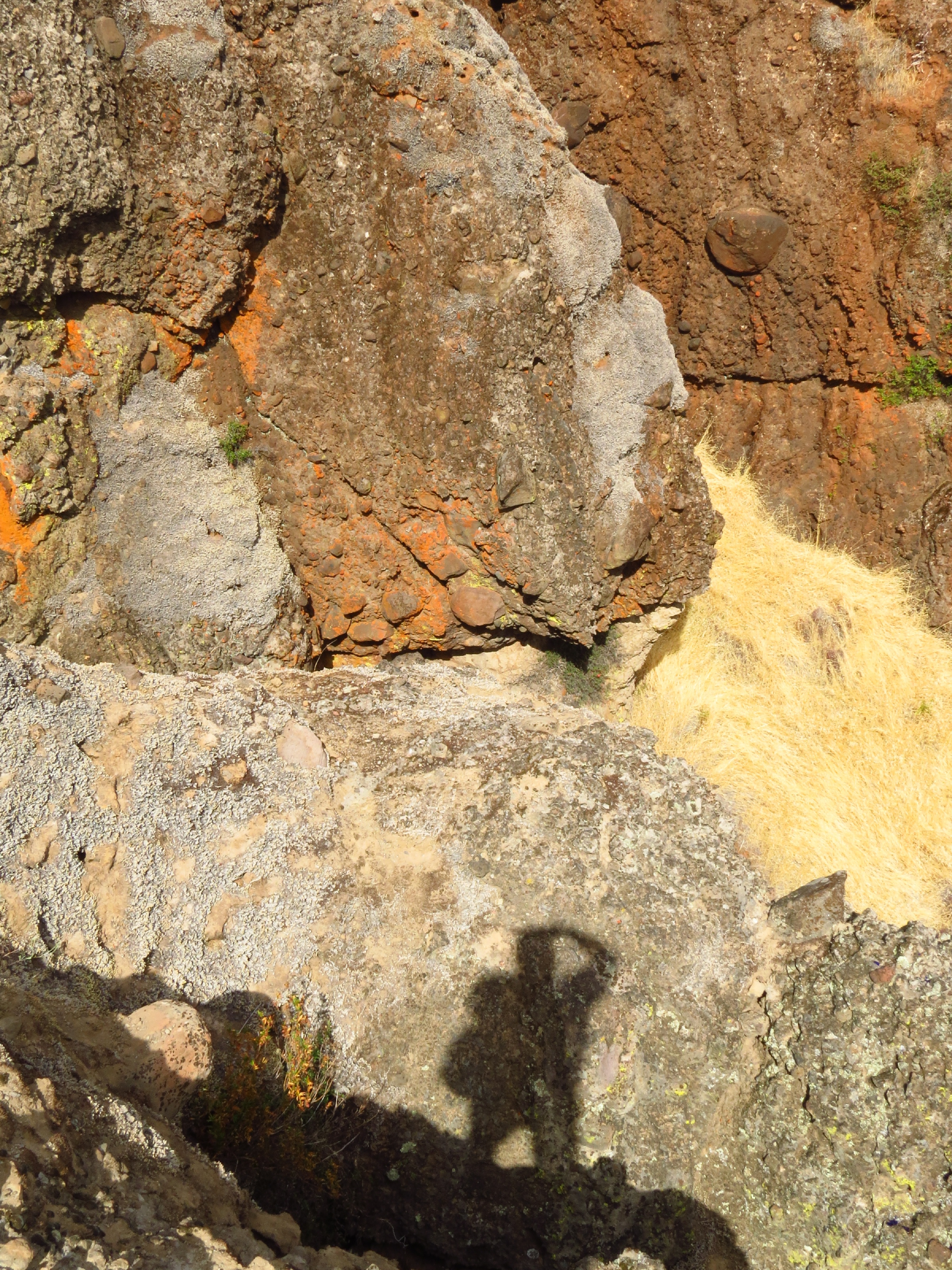
photographers shadow 2fer

_8010160.NEF
Dancing Trees
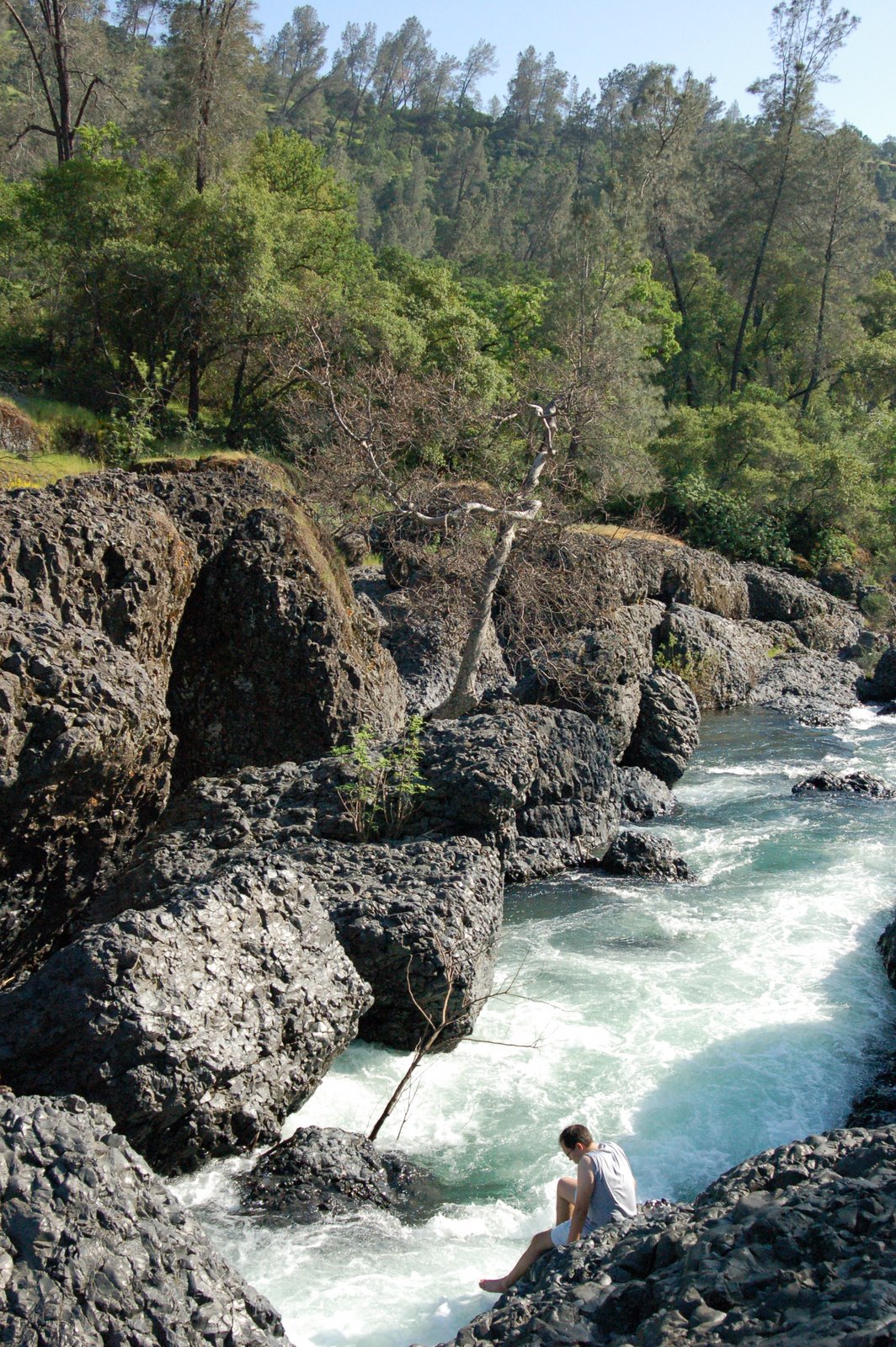
destination: swimmin' hole.

Emerald Waters
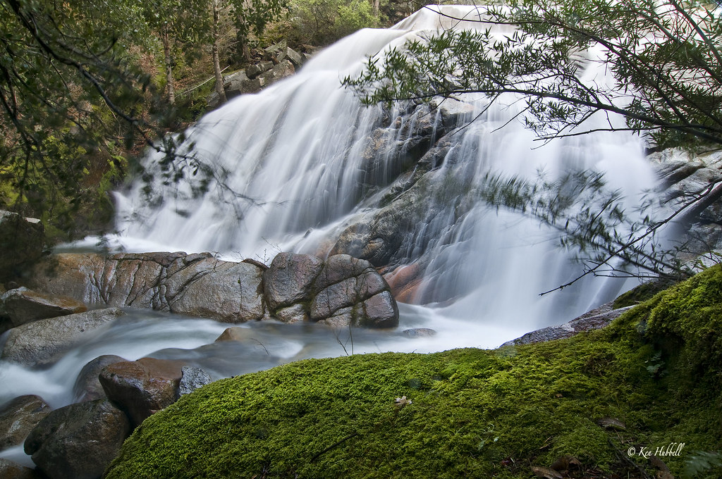
Bidwell Park - Bear Hole
Topographic Map of Holmwood Dr, Magalia, CA, USA
Find elevation by address:

Places near Holmwood Dr, Magalia, CA, USA:
6475 Grandview Ave
Rosewood Drive
14706 Wood Dr
14712 Glenwood Dr
14769 Glenwood Dr
Clarion Way
14424 Wycliff Way
14374 Clarion Way
14385 Skyway Rd
14813 Wildlife Dr
6407 Corning Ct
14741 Bridger Ct
6305 Cumberland Rd
14842 Wood Dr
14863 Upland Rd
14341 Bethany Cir
14479 Coutolenc Rd
6697 Echo Glen Ln
6867 Forest Haven Ln
14787 Masterson Way
Recent Searches:
- Elevation of Spaceport America, Co Rd A, Truth or Consequences, NM, USA
- Elevation of Warwick, RI, USA
- Elevation of Fern Rd, Whitmore, CA, USA
- Elevation of 62 Abbey St, Marshfield, MA, USA
- Elevation of Fernwood, Bradenton, FL, USA
- Elevation of Felindre, Swansea SA5 7LU, UK
- Elevation of Leyte Industrial Development Estate, Isabel, Leyte, Philippines
- Elevation of W Granada St, Tampa, FL, USA
- Elevation of Pykes Down, Ivybridge PL21 0BY, UK
- Elevation of Jalan Senandin, Lutong, Miri, Sarawak, Malaysia