Elevation of Clarion Way, Magalia, CA, USA
Location: United States > California > Butte County > Magalia >
Longitude: -121.59820
Latitude: 39.8307143
Elevation: 755m / 2477feet
Barometric Pressure: 93KPa
Elevation Map:
Satellite Map:
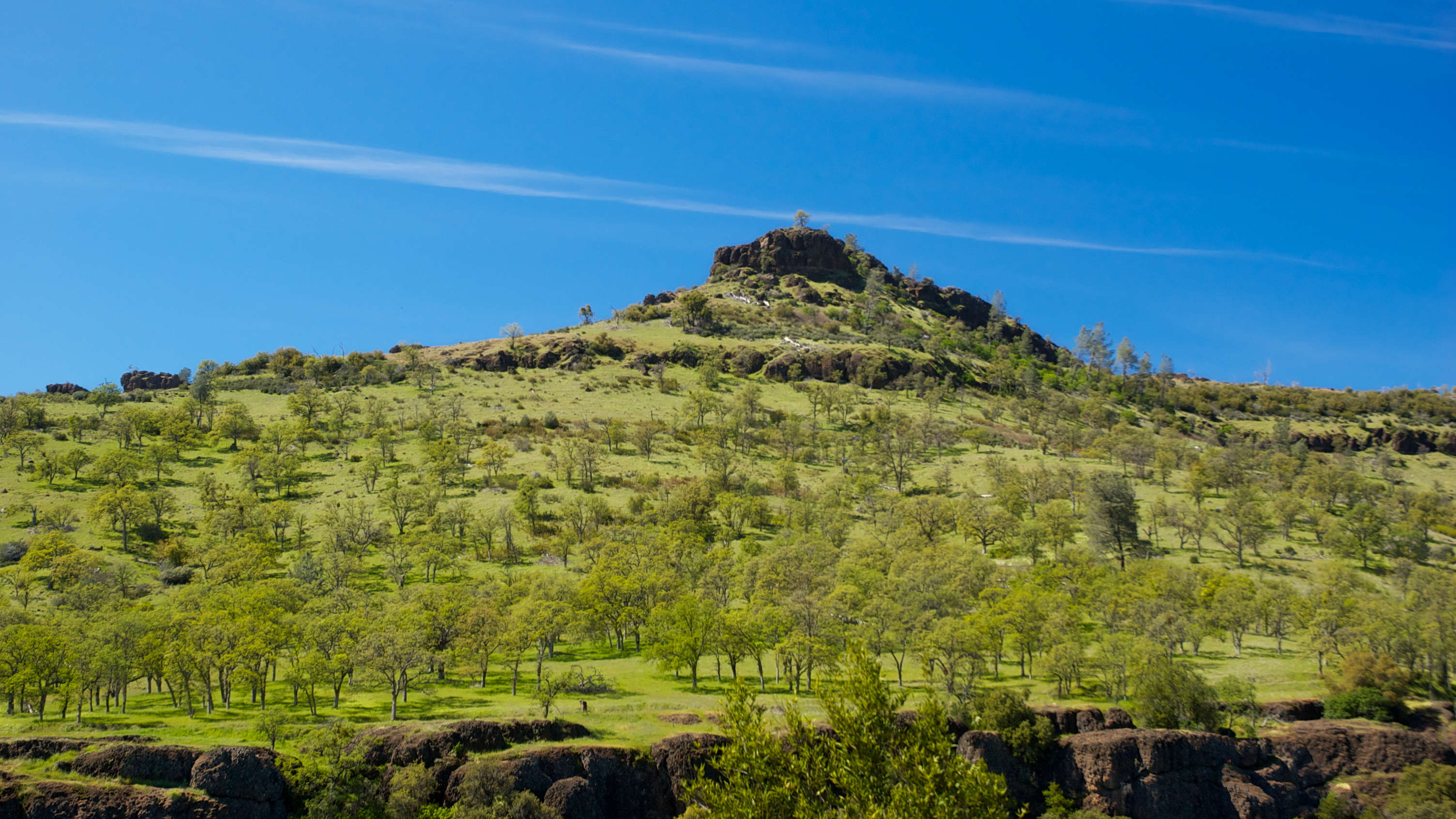
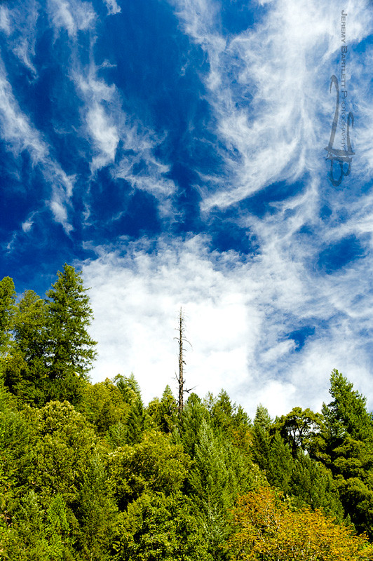
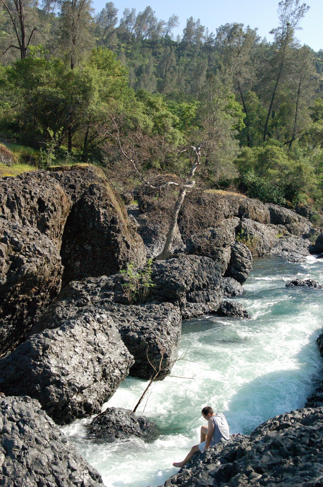
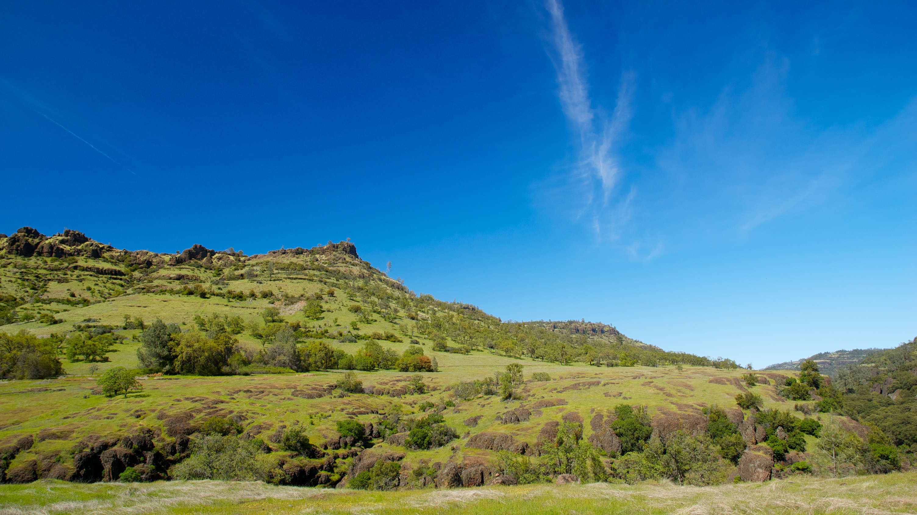
Related Photos:

fungus among us... {Explore #62}

diet coke and mentos

obey the earth

02•52 • dog nose
O'B (6)

Christmas Nova Explosion in D Major
Enjoying the view
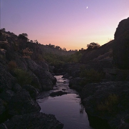
View from Old Magalia
Feather River

Her Spirit
June 12, 2008
Lime Saddle v1.4

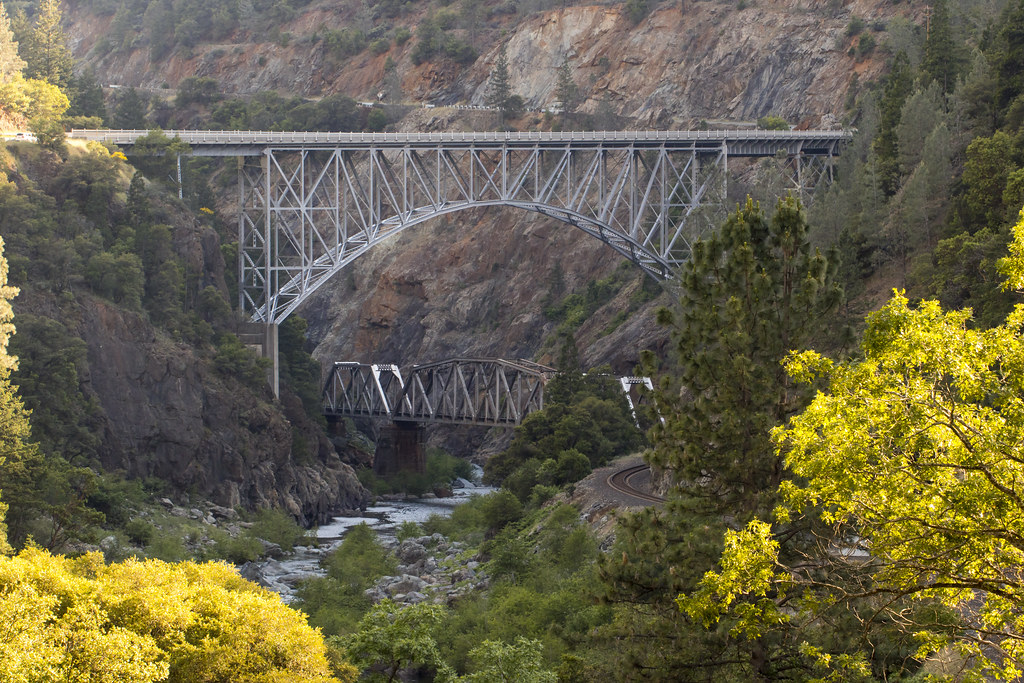
Bridge Over the Feather River
Canyon View
Back view...
Day 777 [8-5-15]: Honey Run Covered Bridge
Living on the edge
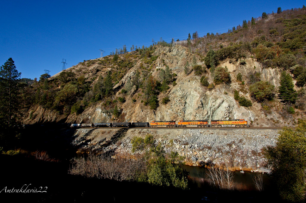
BNSF Grain Train at Cresta S-Curve

No Man Will Ever Be Fool Enough
Bidwell Park
BNSF Railway Tackles the Feather River Canyon
Hwy 70 North Fork Feather River Bridge (Built 1932), Pulga, CA
Peregrine Point
Swimming Hole

Fire Material
Sooo blue
Death Points the Way

Sky ablaze
Bidwell Park - Bear Hole

_8010160.NEF
Clear Skies
At Diversion Dam, Bidwell Park

Morning Clouds
photographers shadow 2fer

Emerald Waters
Near Honey Run Bridge

The Last Stand
Topographic Map of Clarion Way, Magalia, CA, USA
Find elevation by address:

Places near Clarion Way, Magalia, CA, USA:
Clarion Way
14385 Skyway Rd
6305 Cumberland Rd
6407 Corning Ct
14424 Wycliff Way
14341 Bethany Cir
14259 Manatee Cir
14200 Decatur Dr
14462 Colter Way
14536 Asheville Dr
14722 Bridgeport Cir
14406 Carnegie Rd
6259 Seabury Ct
6200 Dawson Ct
14741 Bridger Ct
6235 Kilgord Ct
13494 Carnegie Rd
14394 Madonna Ct
6606 Lane Ct
Prentis Court
Recent Searches:
- Elevation of W Granada St, Tampa, FL, USA
- Elevation of Pykes Down, Ivybridge PL21 0BY, UK
- Elevation of Jalan Senandin, Lutong, Miri, Sarawak, Malaysia
- Elevation of Bilohirs'k
- Elevation of 30 Oak Lawn Dr, Barkhamsted, CT, USA
- Elevation of Luther Road, Luther Rd, Auburn, CA, USA
- Elevation of Unnamed Road, Respublika Severnaya Osetiya — Alaniya, Russia
- Elevation of Verkhny Fiagdon, North Ossetia–Alania Republic, Russia
- Elevation of F. Viola Hiway, San Rafael, Bulacan, Philippines
- Elevation of Herbage Dr, Gulfport, MS, USA