Elevation of Hollytown Rd, Benton, KY, USA
Location: United States > Kentucky >
Longitude: -88.324370
Latitude: 36.9031418
Elevation: 153m / 502feet
Barometric Pressure: 99KPa
Elevation Map:
Satellite Map:
Related Photos:
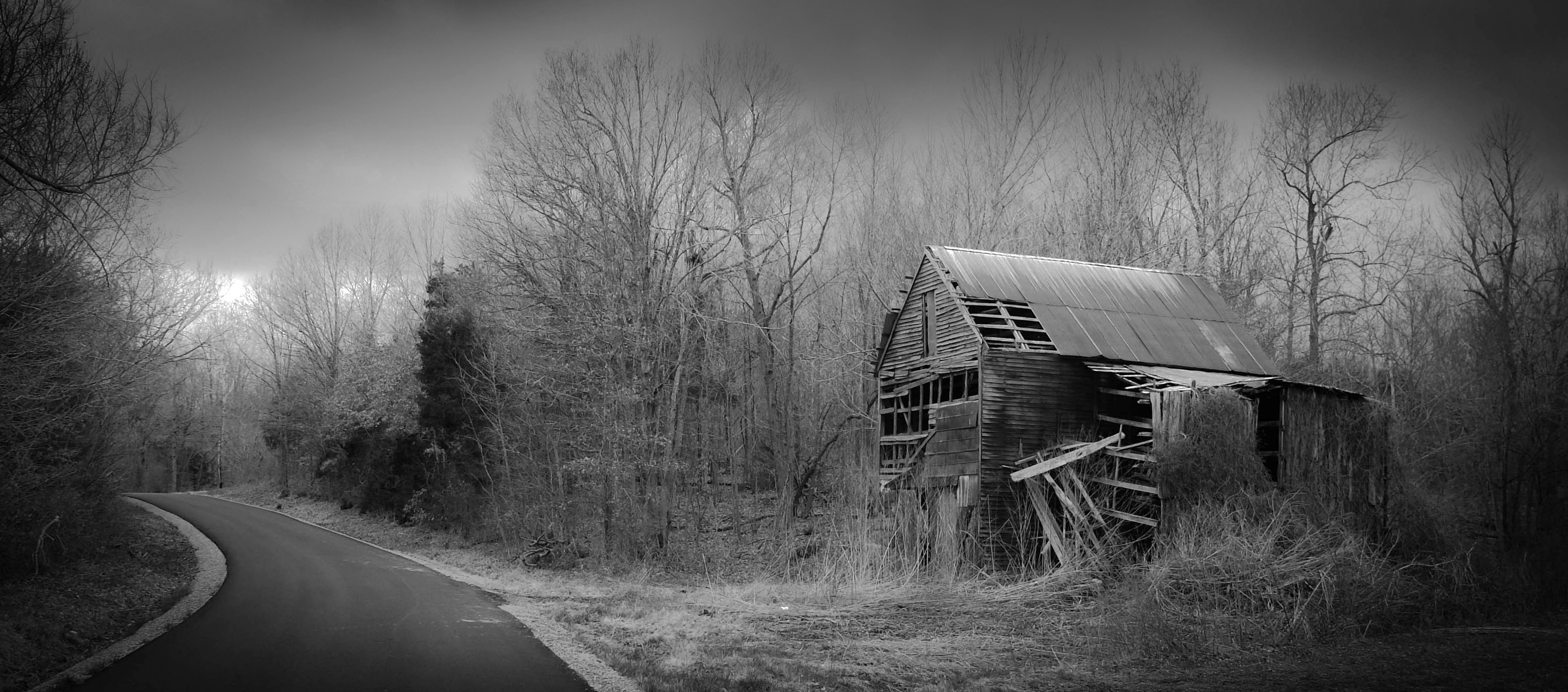
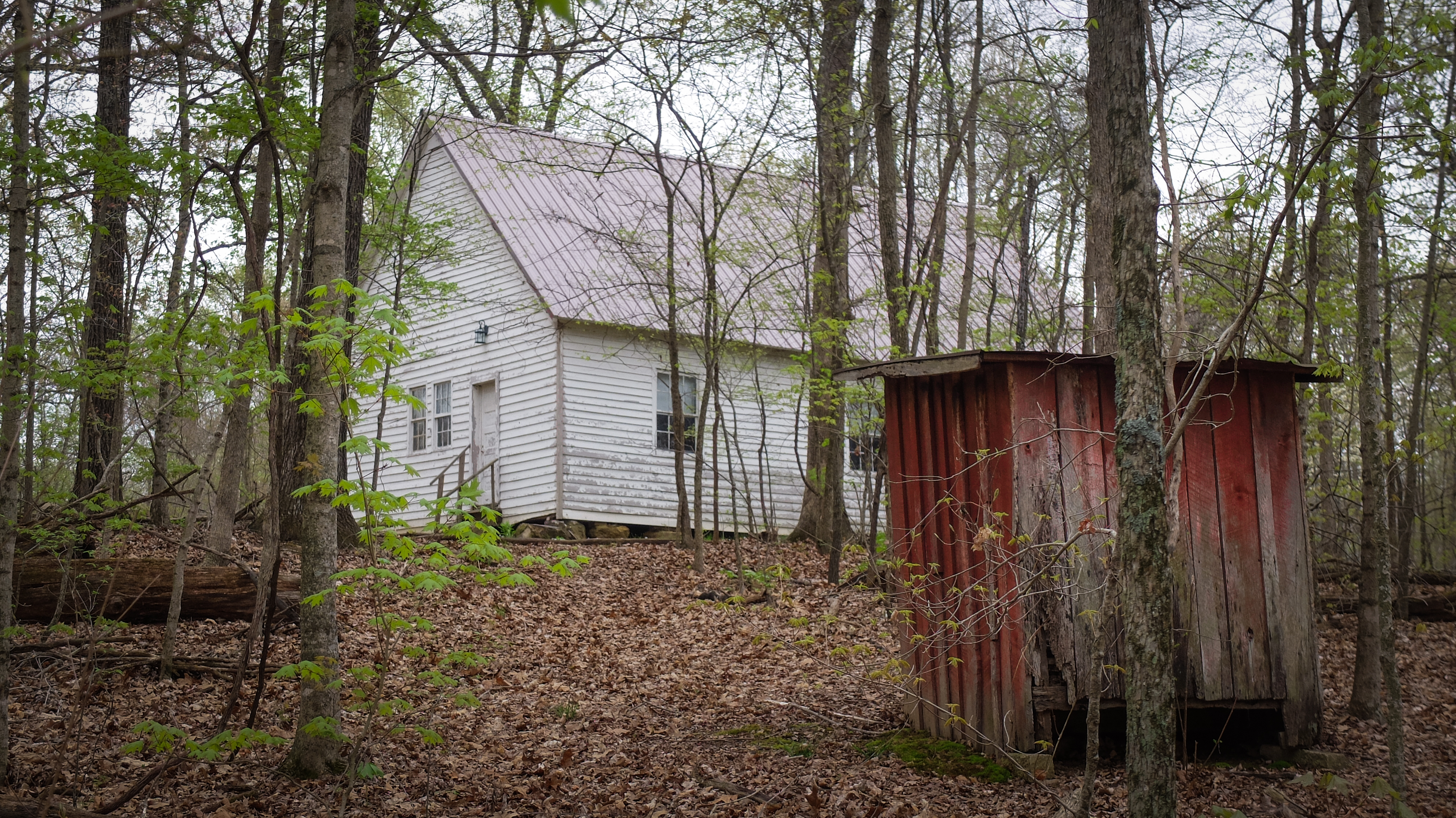
Breezeel School Road Barn_BW

Iola House_Front View

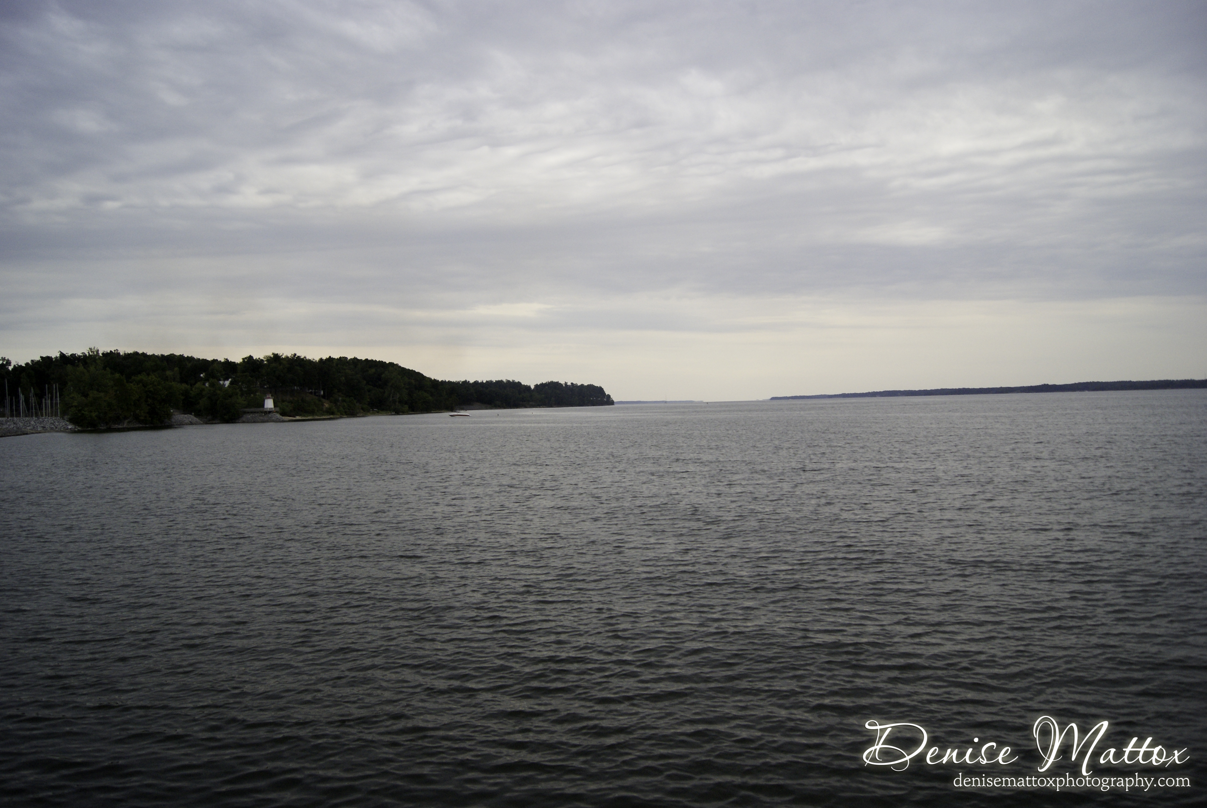
Sunset on Kentucky Lake.
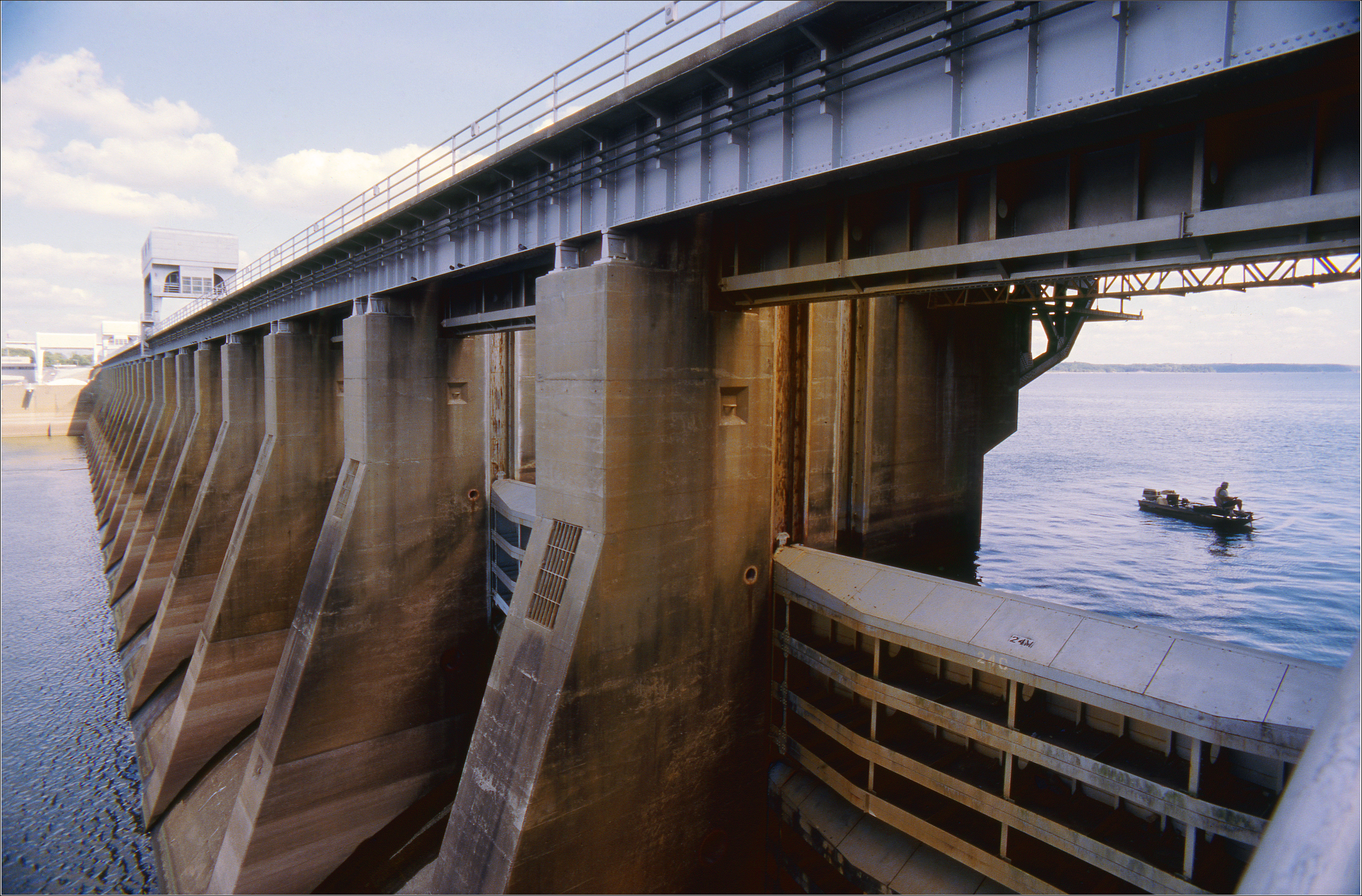
Kentucky Dam

And Our Flag Was Still There
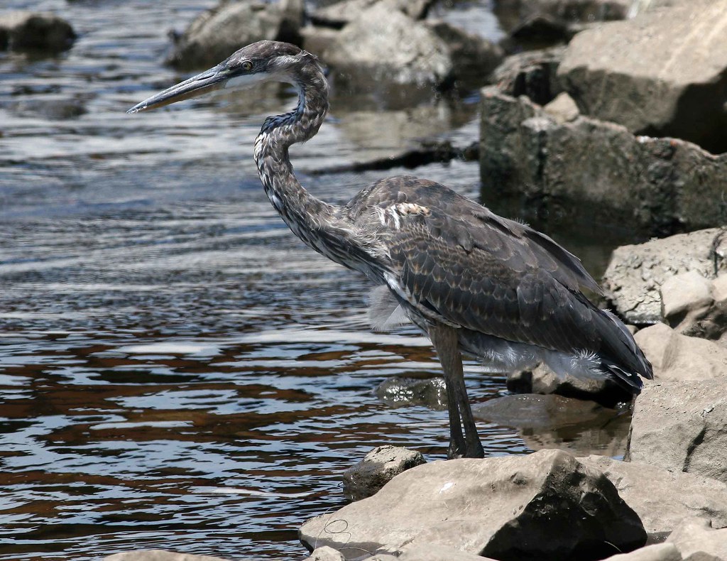
immature Great Blue Heron

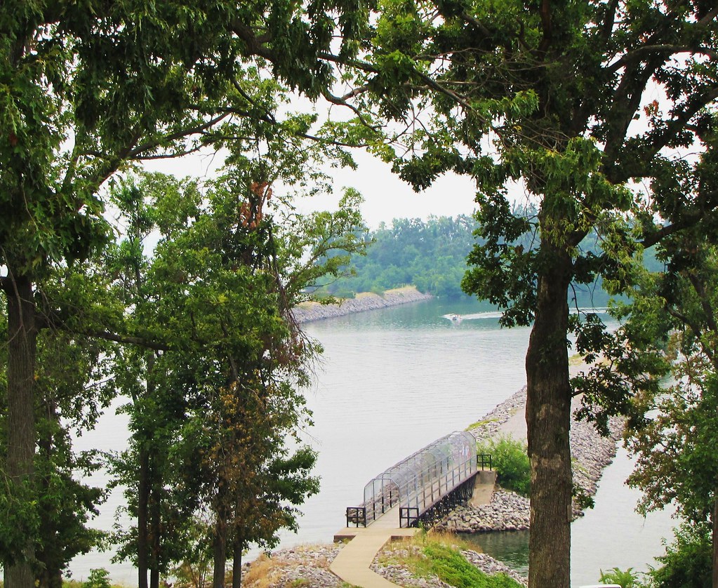
View From The Deck
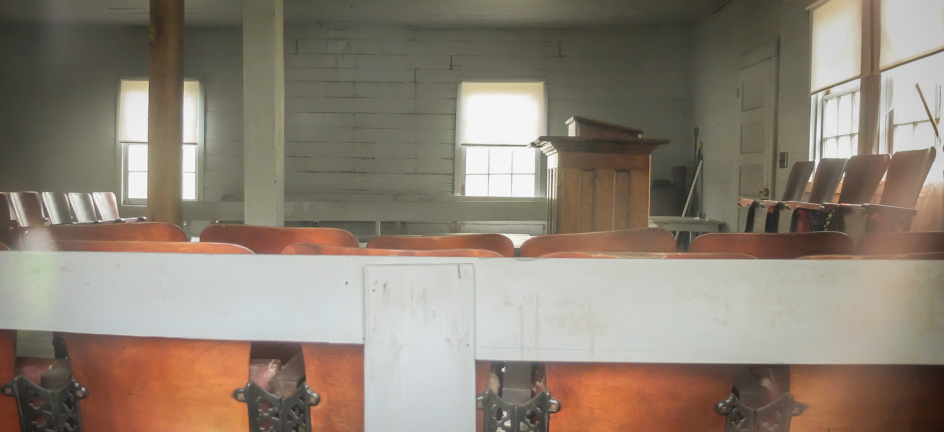
Soldier Creek Church Interior

A View From The Deck
Lighthouse Landing Ky.
Lighthouse Landing Ky.

A View of the Inferno

Scenic View
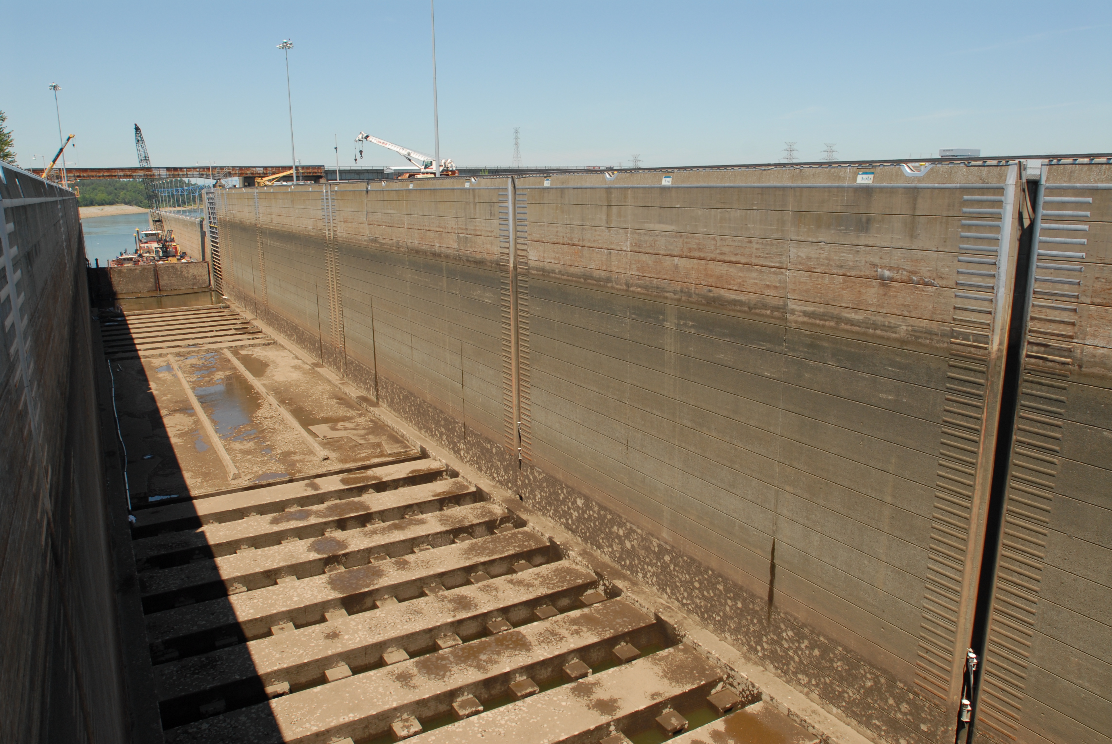
Barkley Lock Dewatering

Iridescent Spider
IMG_1806 (2)
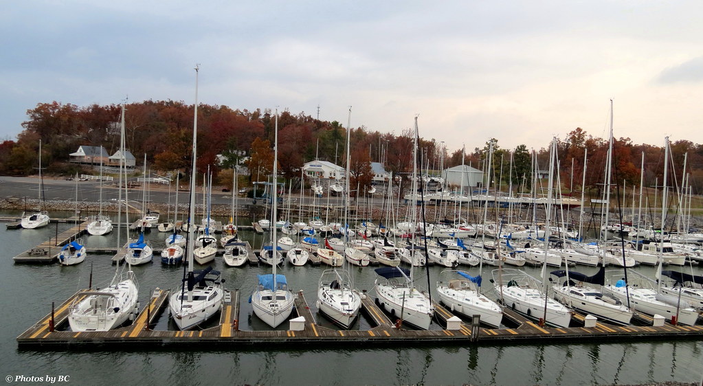
Road Trip: Lake Barkley

Marshall Barn

Lighthouse Landing twilight

Final act...

Cruising upon liquid sun...

Iroquois twilight
Lighthouse Landing

Sweetie Pie

Fair warning
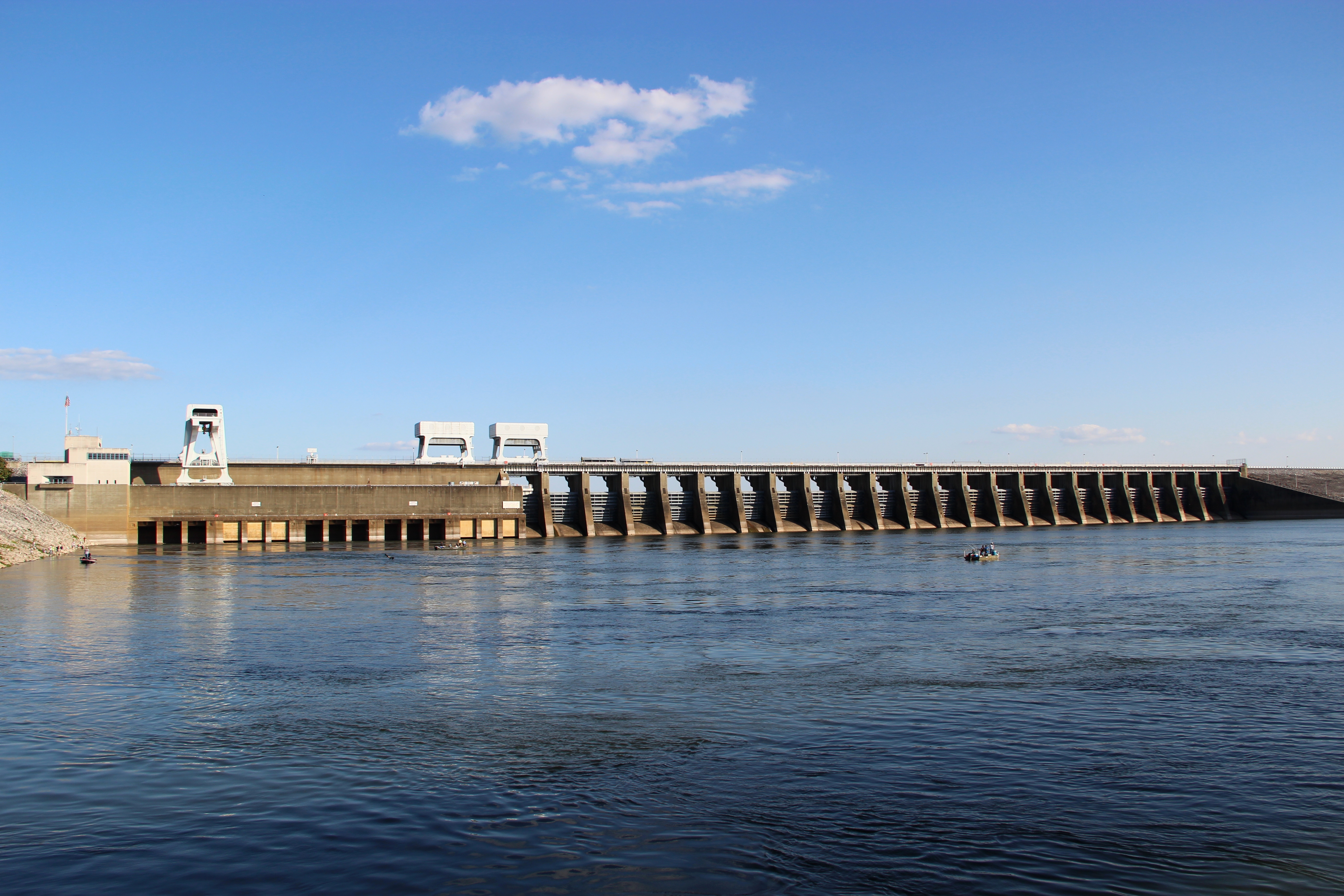
Kentucky Dam

Marshall House2_BW

Ohio River in Paducah

Overgrowth 2
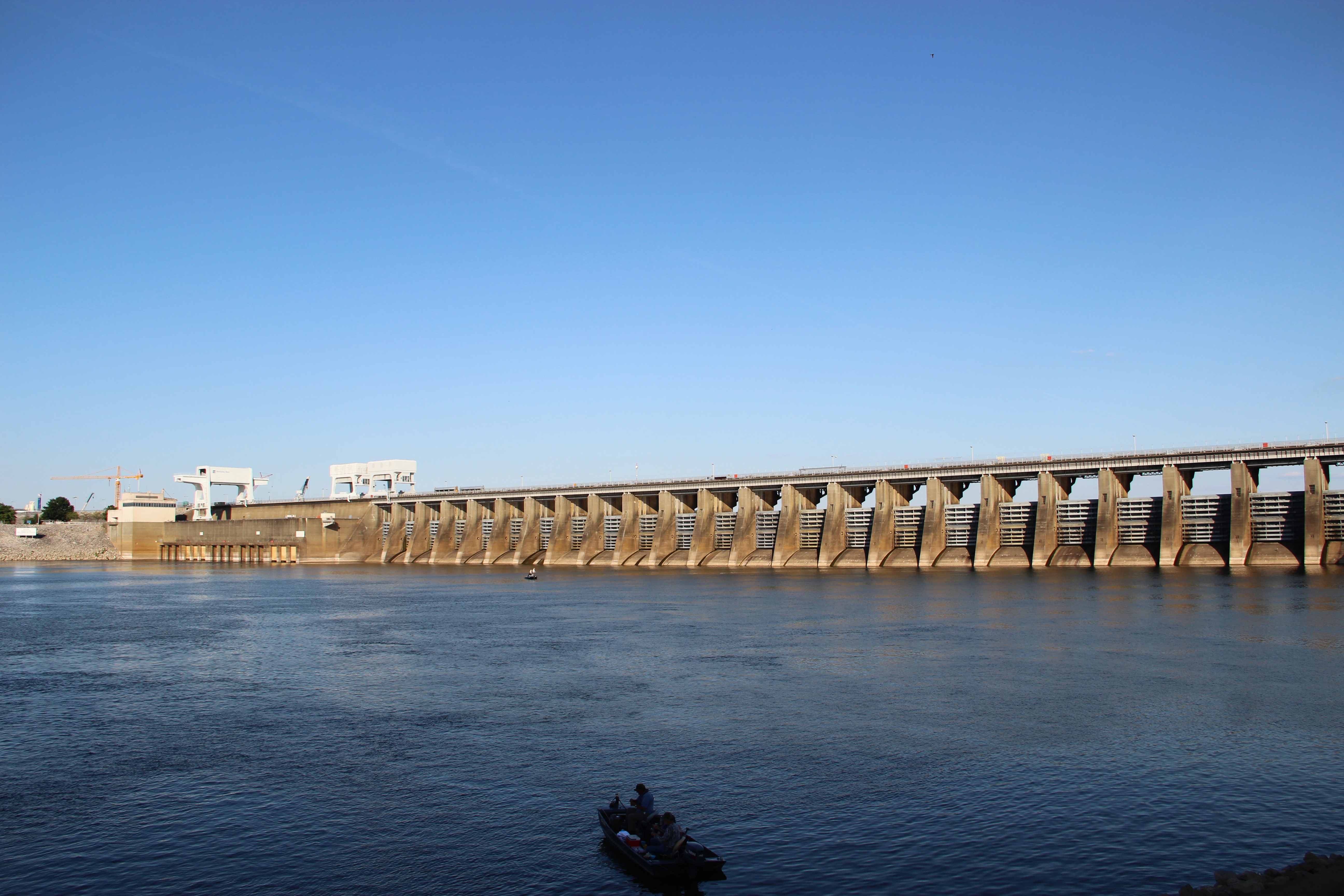
Kentucky Dam

Sailors Take Warning.
Soldier Creek Church_Color

Barge and Stick

Gorgeous light on our bike ride

Sunset and barge tug at Kentucky Lake

Good Mornin'

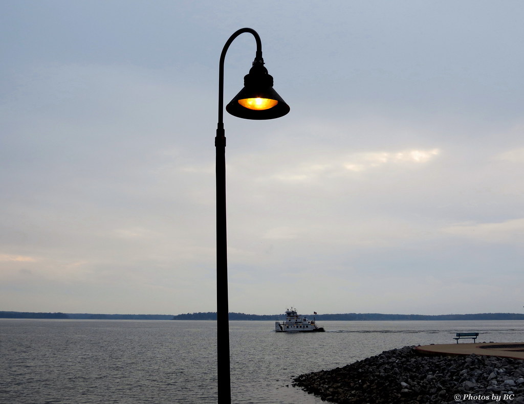
Tugboat on Kentucky Lake at Sunset
Topographic Map of Hollytown Rd, Benton, KY, USA
Find elevation by address:

Places near Hollytown Rd, Benton, KY, USA:
Benton
111 Dawson Ln
183 Championship Ln
183 Championship Ln
138 Fairway Dr
138 Fairway Dr
138 Fairway Dr
Lakeview Church Road
1000 State Hwy 2595
1000 State Hwy 2595
500 State Hwy 2595
500 State Hwy 2595
Marshall County
66 Jocelin Dr, Gilbertsville, KY, USA
3228 Lone Valley Rd
164 Concord Dr
66 Wayside Ln
107 Arthur Ct
Arthur Ct, Gilbertsville, KY, USA
4331 Symsonia Hwy
Recent Searches:
- Elevation of Corso Fratelli Cairoli, 35, Macerata MC, Italy
- Elevation of Tallevast Rd, Sarasota, FL, USA
- Elevation of 4th St E, Sonoma, CA, USA
- Elevation of Black Hollow Rd, Pennsdale, PA, USA
- Elevation of Oakland Ave, Williamsport, PA, USA
- Elevation of Pedrógão Grande, Portugal
- Elevation of Klee Dr, Martinsburg, WV, USA
- Elevation of Via Roma, Pieranica CR, Italy
- Elevation of Tavkvetili Mountain, Georgia
- Elevation of Hartfords Bluff Cir, Mt Pleasant, SC, USA