Elevation of Hollow, NC, USA
Location: United States > North Carolina > Bladen County >
Longitude: -78.826938
Latitude: 34.7545762
Elevation: 38m / 125feet
Barometric Pressure: 101KPa
Elevation Map:
Satellite Map:
Related Photos:
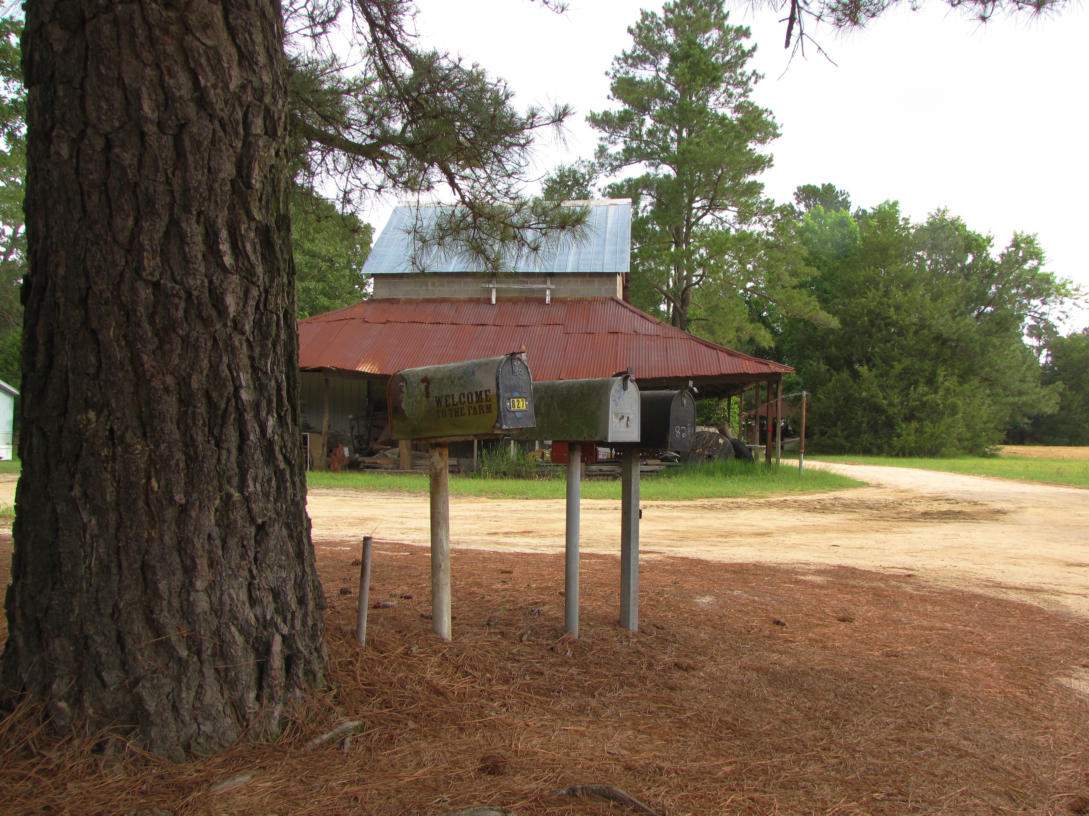
Welcome to the Farm
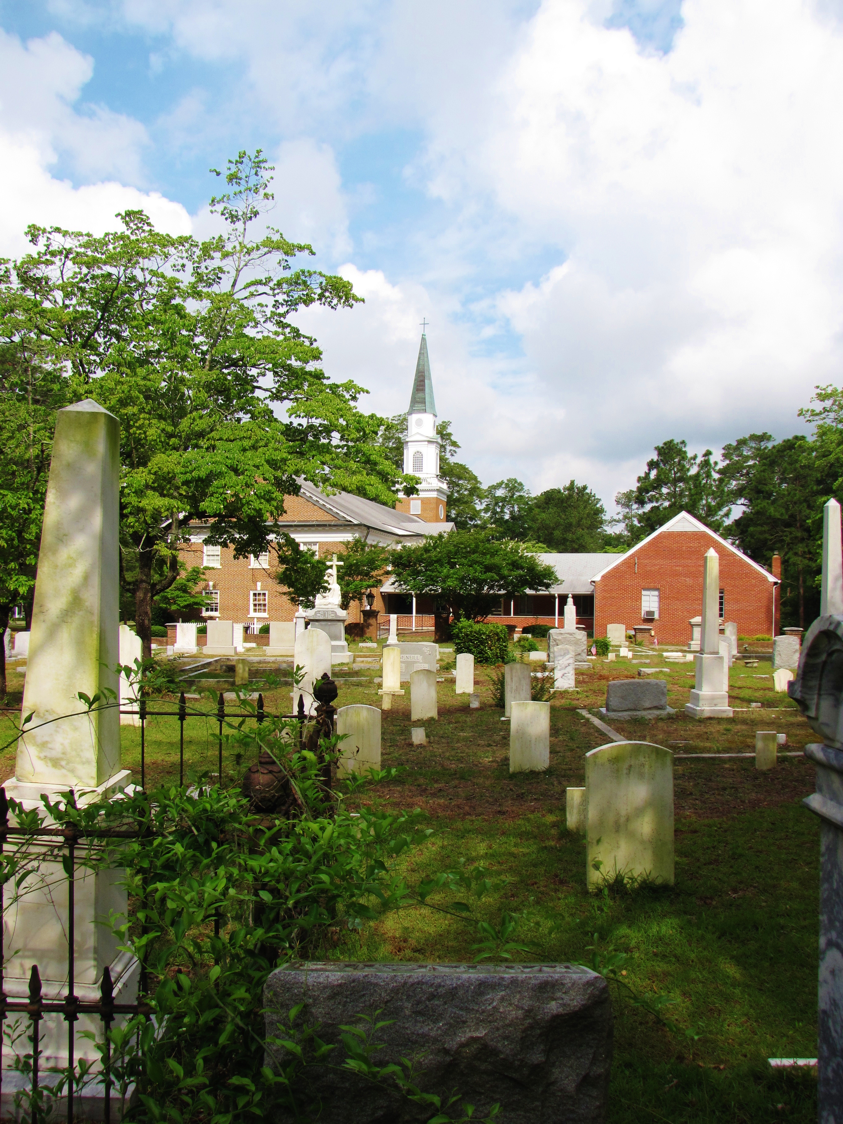
St. Pauls Presbyterian Cemetery (2)
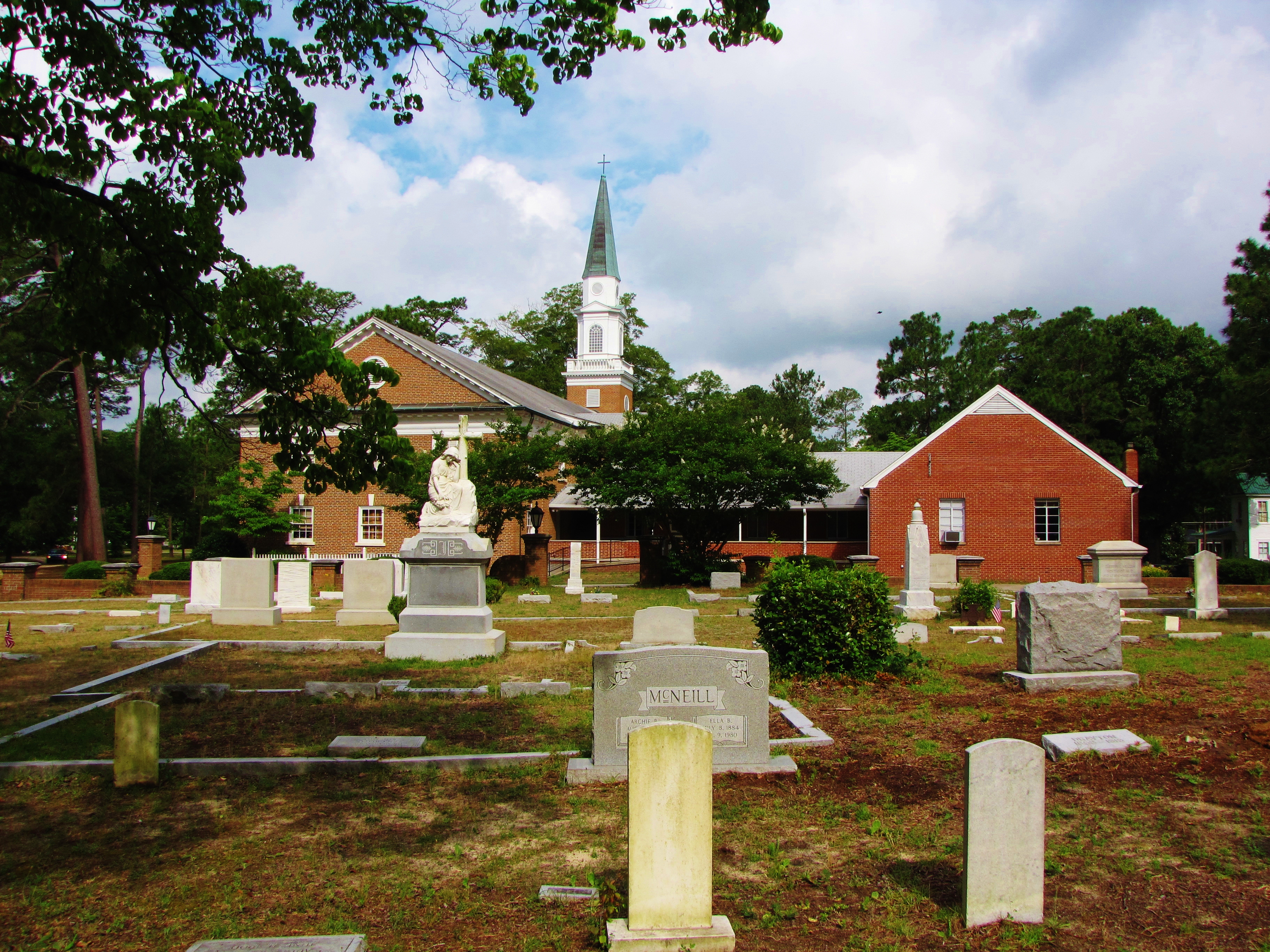
St. Pauls Presbyterian Cemetery
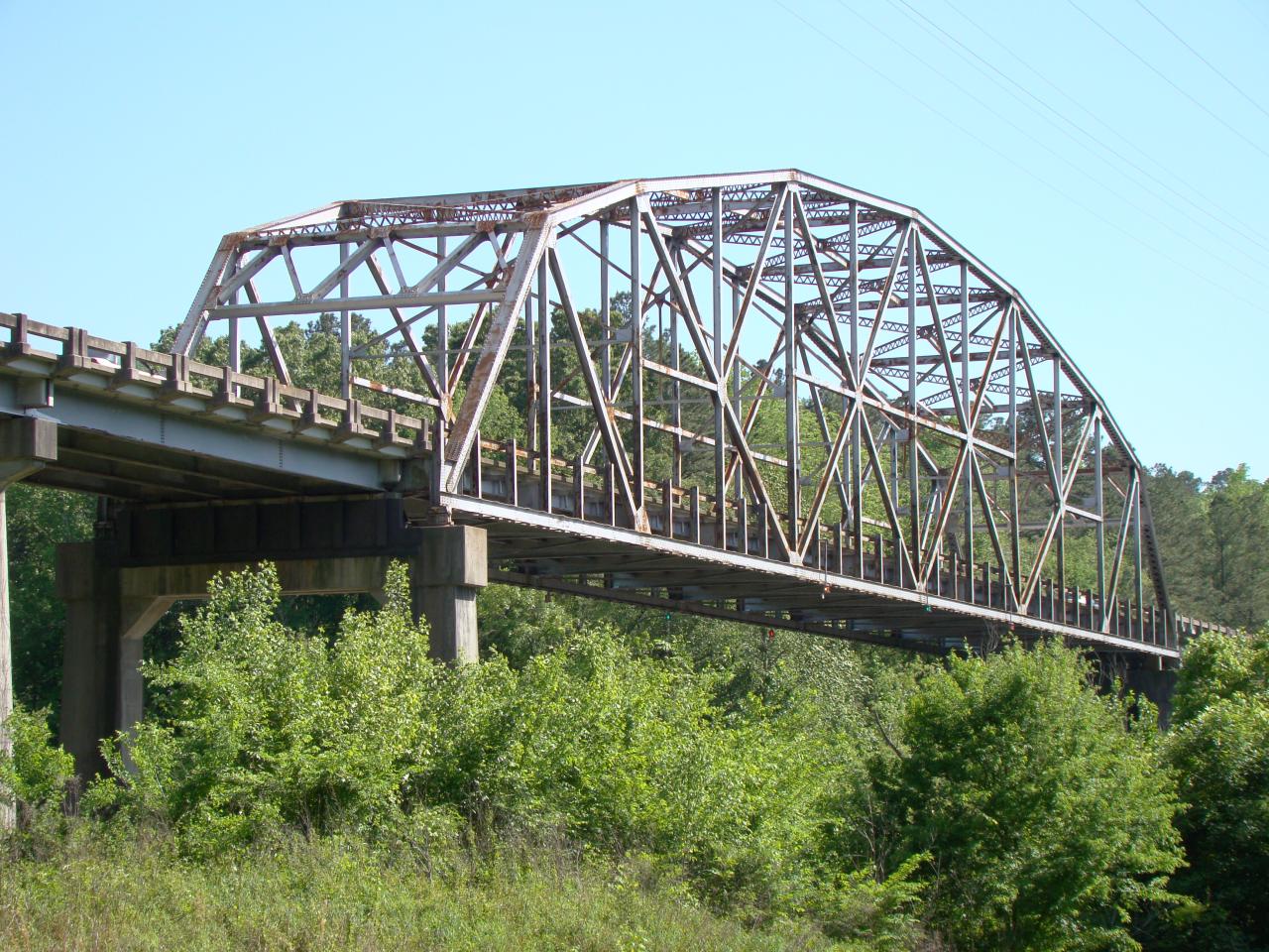
Tar Heel Ferry Road Bridge

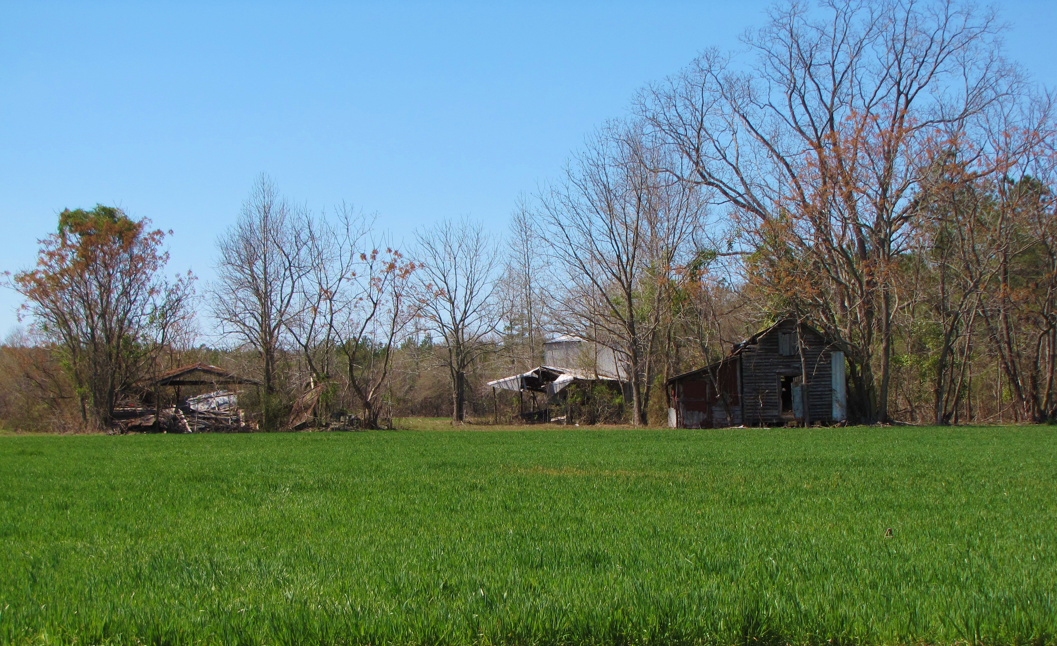
Waves of Grain

20150517-DSC_6686
Time Has Passed By
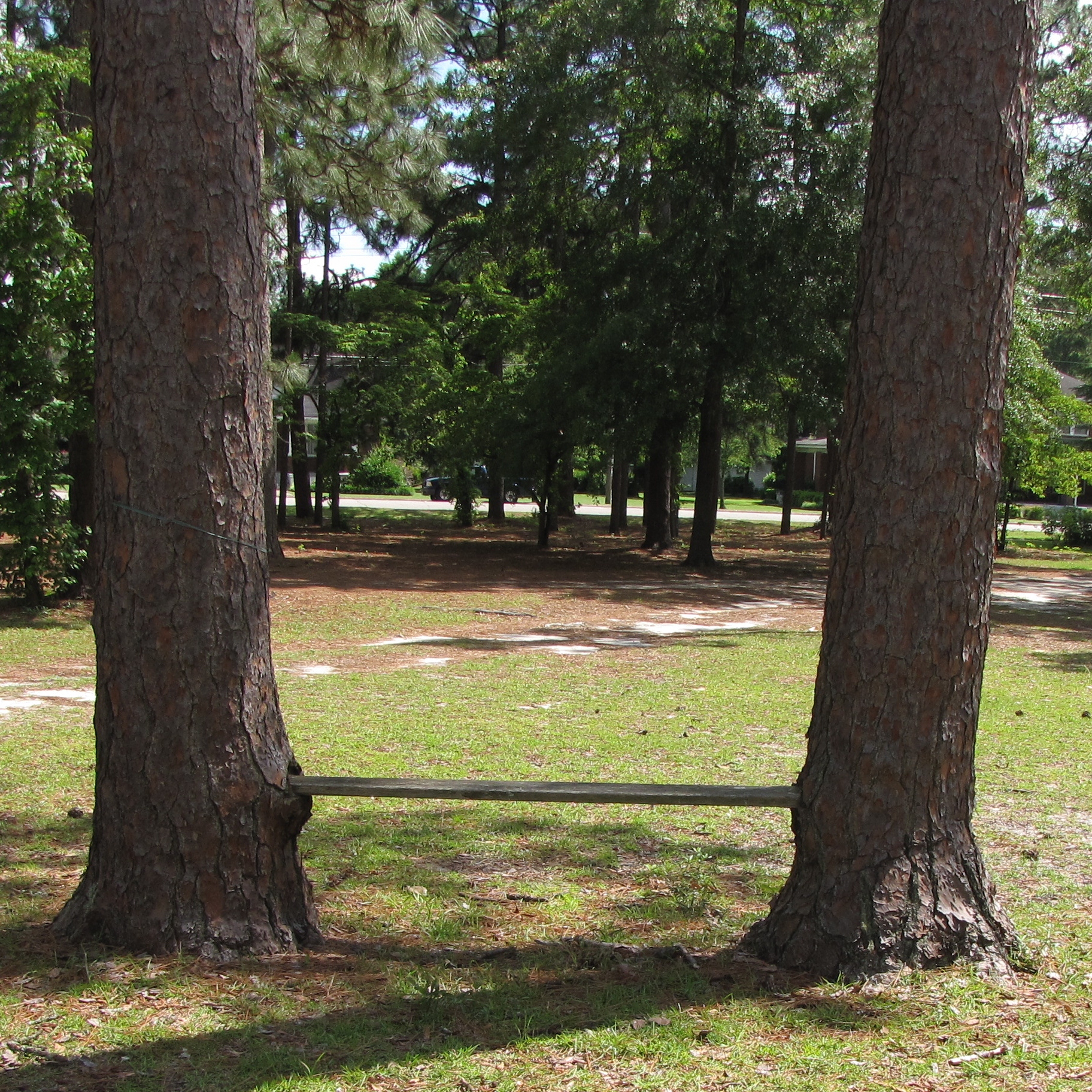
Come, Let's Sit Awhile
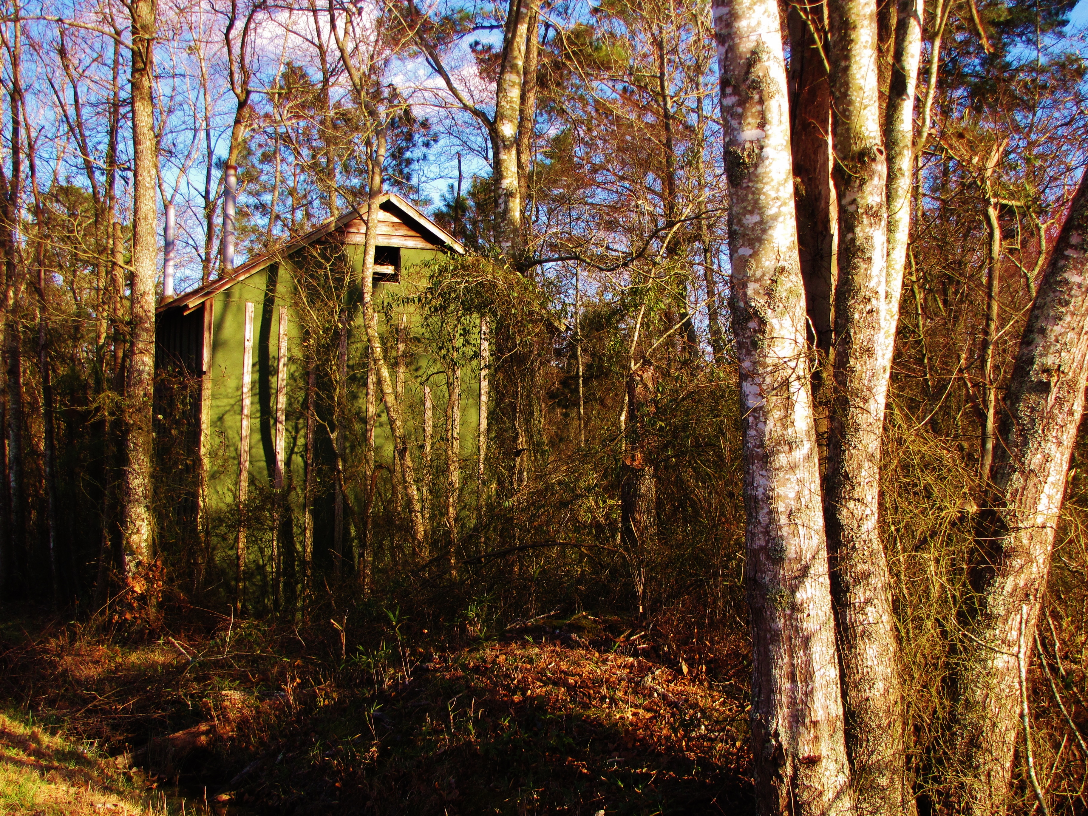
Tobacco Barn in the Woods

Wood Duck Box
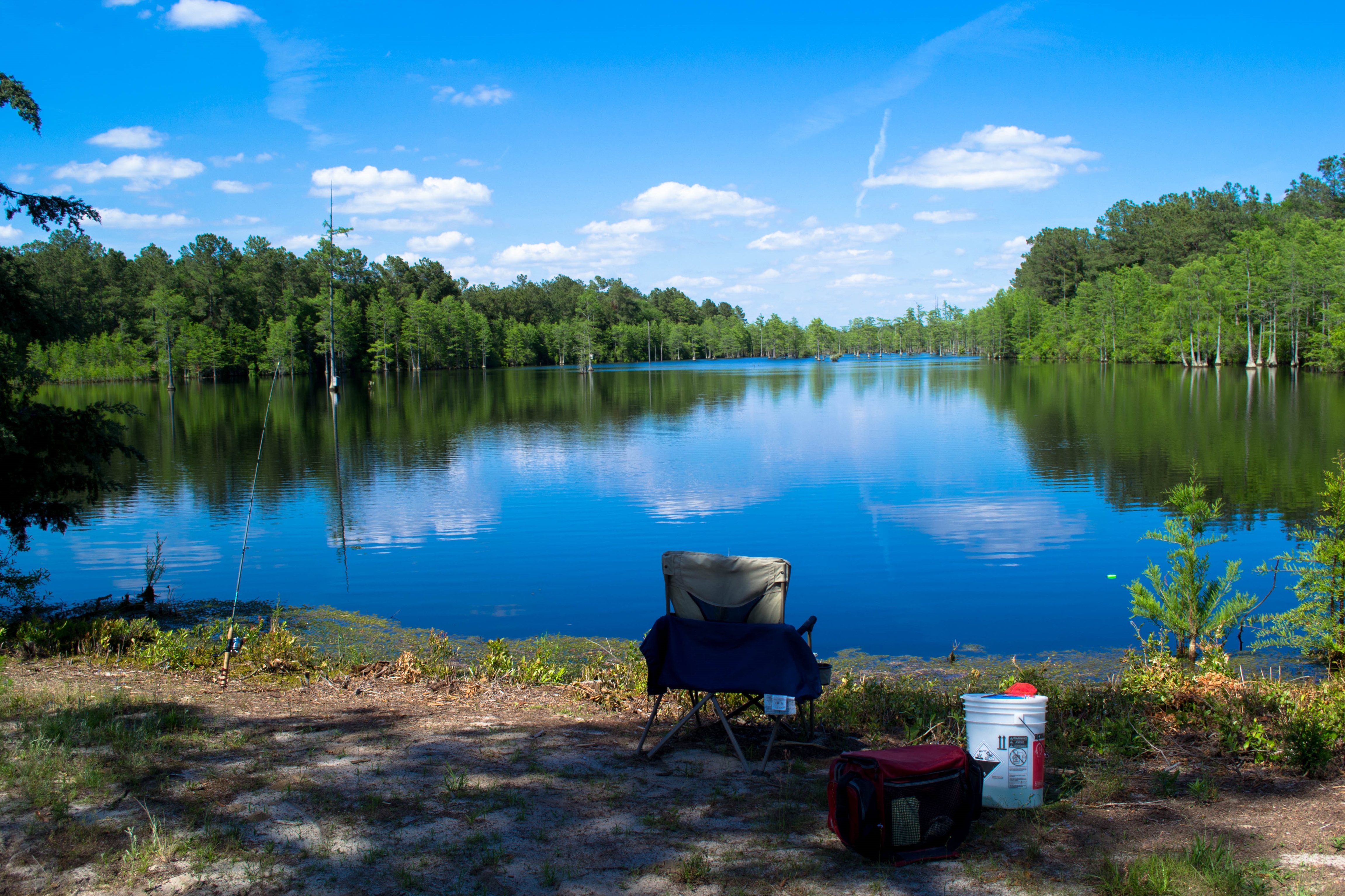
20150517-DSC_6690
Topographic Map of Hollow, NC, USA
Find elevation by address:

Places in Hollow, NC, USA:
Places near Hollow, NC, USA:
679 Tar Heel Ferry Rd
Tar Heel
2662 Old Hwy 41
74 Prairie Ln
3101 E Great Marsh Church Rd
3101 E Great Marsh Church Rd
3101 E Great Marsh Church Rd
3101 E Great Marsh Church Rd
Blind Cat Rescue & Sanctuary
NC- Hwy, Bladenboro, NC, USA
17 Nottingham Cir, Lumberton, NC, USA
416 Londonderry Dr
502 Sussex Ln
411 B T Rd
400 Cambridge Blvd
Holiday Inn Lumberton North - I-95
106 Shamrock Dr
Lumberton
4502 Fayetteville Rd
203 Elmhurst Dr
Recent Searches:
- Elevation of Corso Fratelli Cairoli, 35, Macerata MC, Italy
- Elevation of Tallevast Rd, Sarasota, FL, USA
- Elevation of 4th St E, Sonoma, CA, USA
- Elevation of Black Hollow Rd, Pennsdale, PA, USA
- Elevation of Oakland Ave, Williamsport, PA, USA
- Elevation of Pedrógão Grande, Portugal
- Elevation of Klee Dr, Martinsburg, WV, USA
- Elevation of Via Roma, Pieranica CR, Italy
- Elevation of Tavkvetili Mountain, Georgia
- Elevation of Hartfords Bluff Cir, Mt Pleasant, SC, USA