Elevation of Londonderry Dr, Lumberton, NC, USA
Location: United States > North Carolina > Robeson County > Lumberton > Lumberton >
Longitude: -78.989158
Latitude: 34.6692531
Elevation: 42m / 138feet
Barometric Pressure: 101KPa
Elevation Map:
Satellite Map:
Related Photos:

JDP-130707-e191
JDP-130707-e041
Backyard Trees.

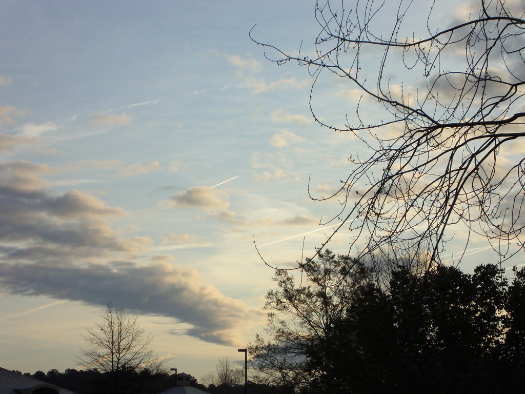
Contrails At Sunrise.

JDP-130707-e159

Blue Sky And Clouds.

JDP-130707-e086
Sunlight.
JDP-130707-e096
Some Cloud

JDP-130707-e171

JDP-130707-e180

Blue Sky And Clouds.

Interesting Sky.

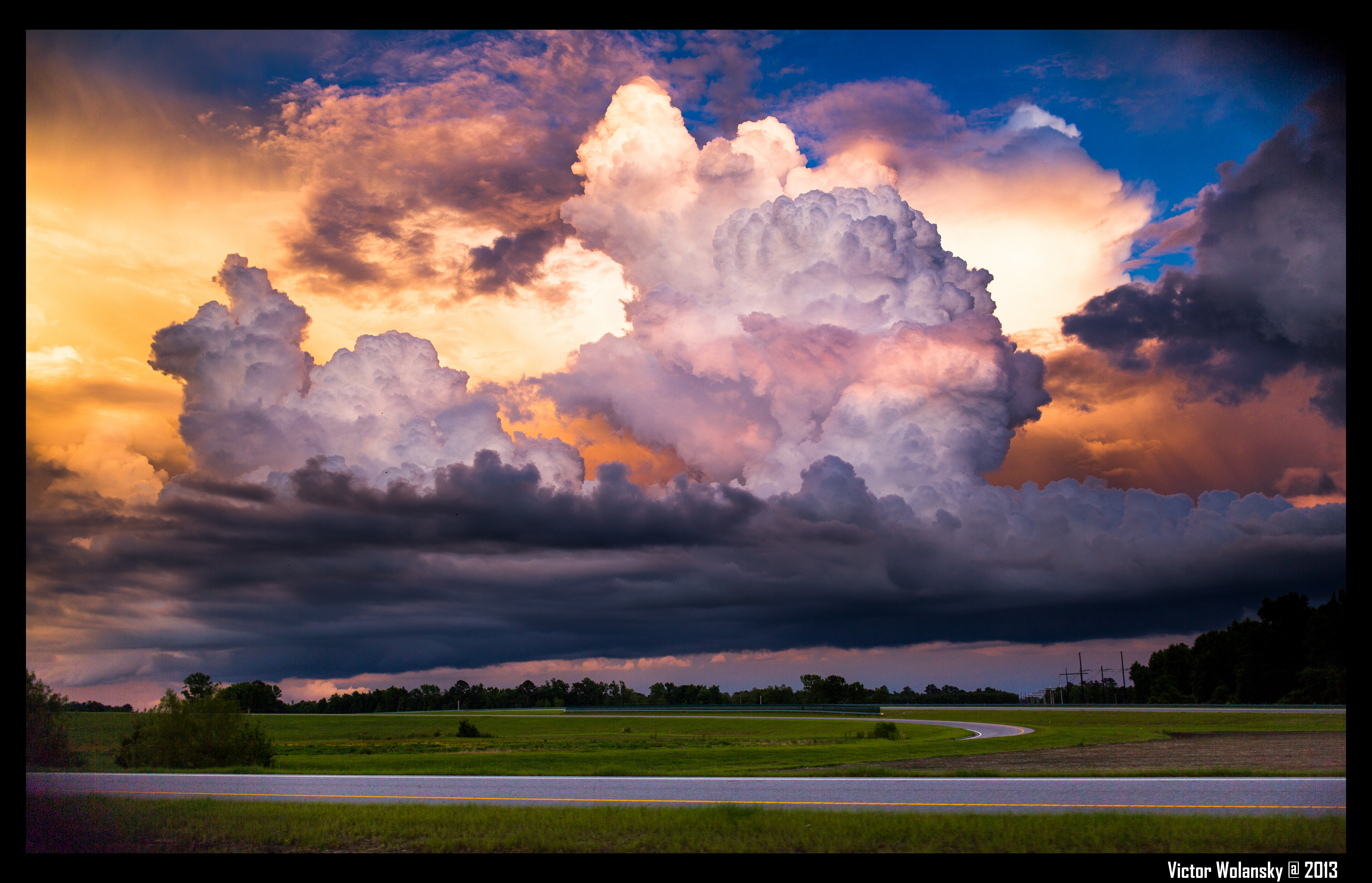
Clouds In The Evening Sky.
JDP-130707-e072

Unique Clouds And Blue Sky.

Cloud Formation.
JDP-130707-e138

Snow Macro.
Morning Sky.
Topographic Map of Londonderry Dr, Lumberton, NC, USA
Find elevation by address:

Places near Londonderry Dr, Lumberton, NC, USA:
502 Sussex Ln
400 Cambridge Blvd
17 Nottingham Cir, Lumberton, NC, USA
411 B T Rd
Holiday Inn Lumberton North - I-95
4502 Fayetteville Rd
Lumberton
106 Shamrock Dr
3710 Berkley Ln
Hampstead Road
203 Elmhurst Dr
3030 N Roberts Ave
3510 Capuano St
1901 N Barker St
1870 Riverside Blvd
Johnny Johnson Street
Raft Swamp
3101 E Great Marsh Church Rd
3101 E Great Marsh Church Rd
3101 E Great Marsh Church Rd
Recent Searches:
- Elevation of Tater Hill, Oklahoma, USA
- Elevation of NY-, Friendship, NY, USA
- Elevation of 64 Danakas Dr, Winnipeg, MB R2C 5N7, Canada
- Elevation of 4 Vale Rd, Sheffield S3 9QX, UK
- Elevation of Keene Point Drive, Keene Point Dr, Grant, AL, USA
- Elevation of State St, Zanesville, OH, USA
- Elevation of Austin Stone Dr, Haslet, TX, USA
- Elevation of Bydgoszcz, Poland
- Elevation of Bydgoszcz, Poland
- Elevation of Calais Dr, Del Mar, CA, USA