Elevation of Hillsboro, ND, USA
Location: United States > North Dakota > Traill County >
Longitude: -97.062030
Latitude: 47.4038683
Elevation: 276m / 906feet
Barometric Pressure: 98KPa
Elevation Map:
Satellite Map:
Related Photos:

Electric Heart

Fallin' For You

North Dakota seems just a blur in the winter

Moment Frozen in Time
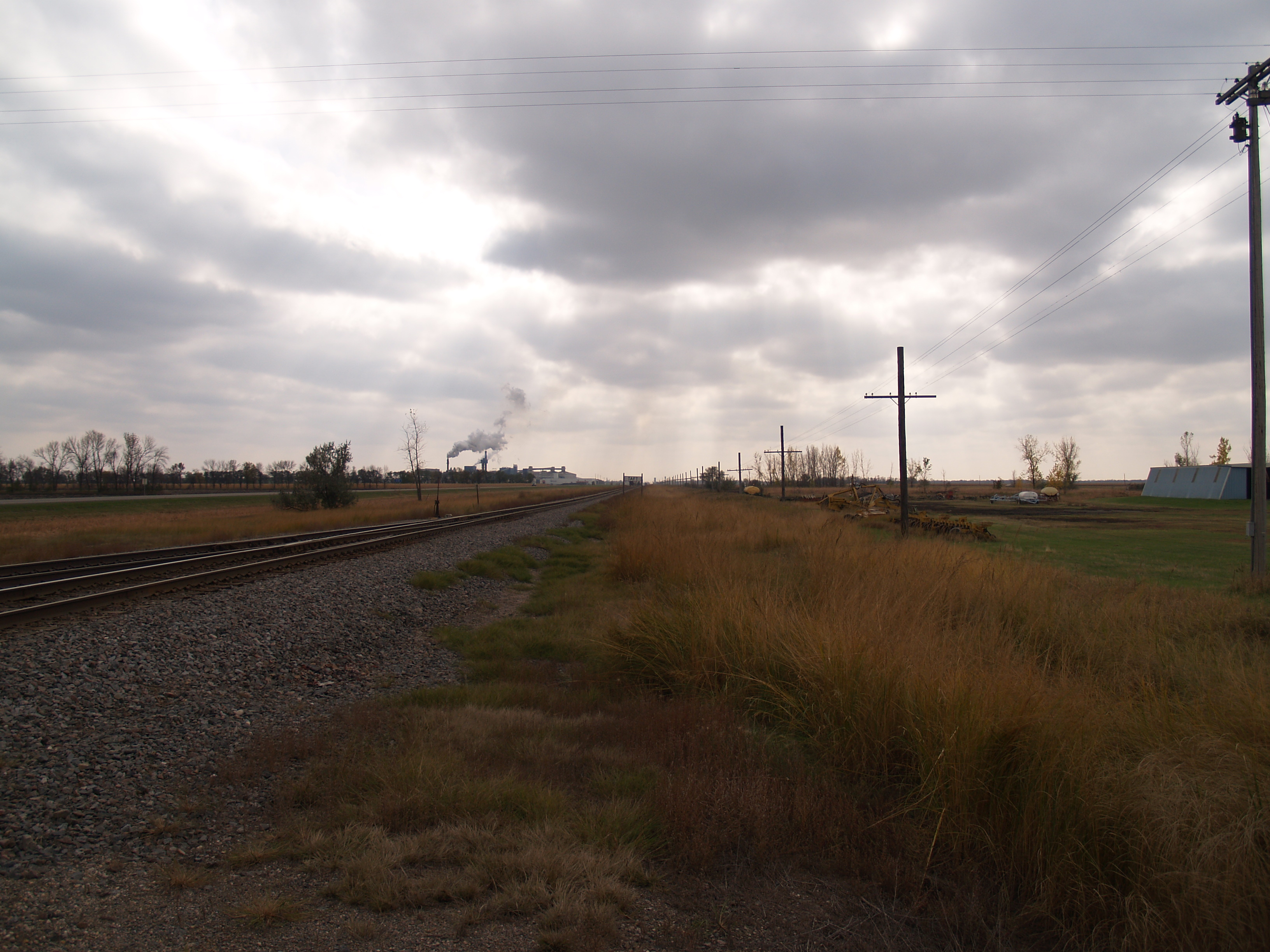
Taft, North Dakota
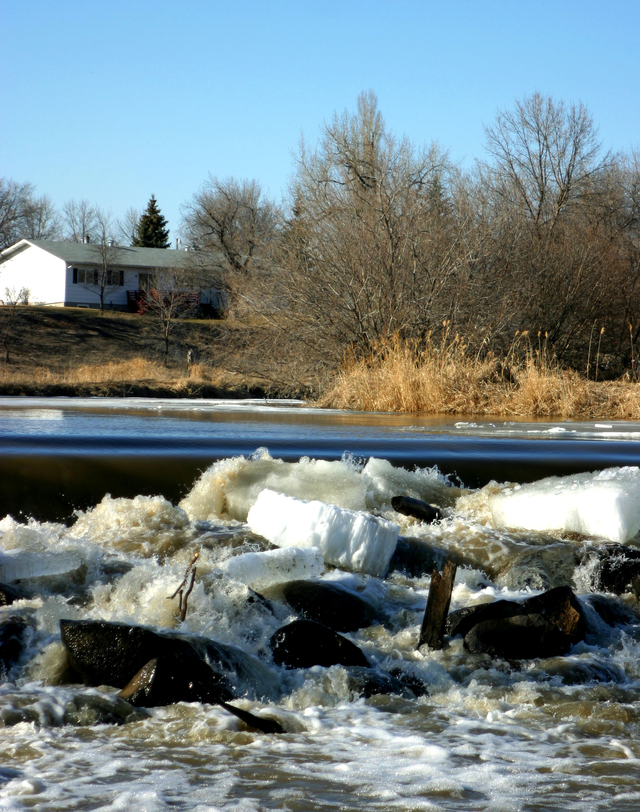
River Ice
Caledonia, North Dakota
Caledonia, North Dakota
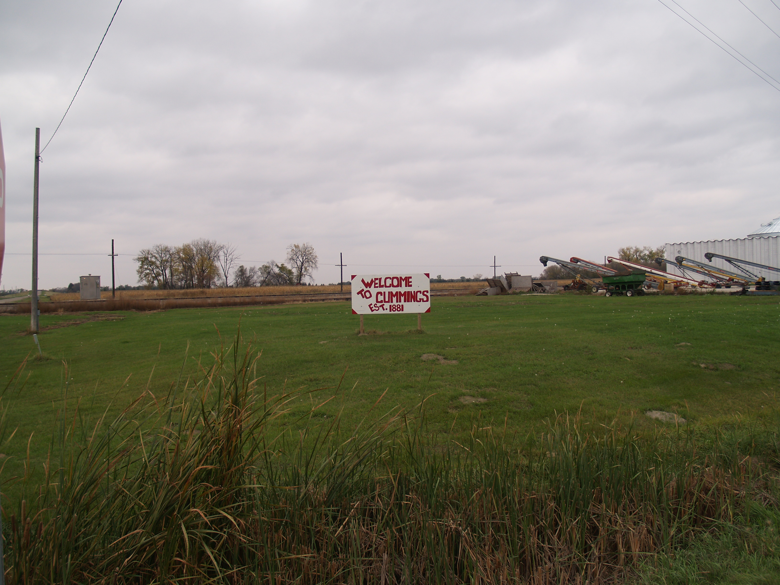
Cummings, North Dakota
Kelso, North Dakota
Kelso, North Dakota

The Greatest Artist Who Has Ever Existed...God... #artist #God #sunset #sunsets #godisgood #god
Topographic Map of Hillsboro, ND, USA
Find elevation by address:

Places near Hillsboro, ND, USA:
North Dakota 200
Traill County
Buxton
Mayville
Portland
8th St, Portland, ND, USA
Cass County
60 Garfield Ave, Clifford, ND, USA
Clifford
Thompson
Walle
Amenia
Main Ave, Erie, ND, USA
Erie
Erie
Hatton
Harmony
Empire
32nd St SE, Wheatland, ND, USA
Casselton
Recent Searches:
- Elevation of Congressional Dr, Stevensville, MD, USA
- Elevation of Bellview Rd, McLean, VA, USA
- Elevation of Stage Island Rd, Chatham, MA, USA
- Elevation of Shibuya Scramble Crossing, 21 Udagawacho, Shibuya City, Tokyo -, Japan
- Elevation of Jadagoniai, Kaunas District Municipality, Lithuania
- Elevation of Pagonija rock, Kranto 7-oji g. 8"N, Kaunas, Lithuania
- Elevation of Co Rd 87, Jamestown, CO, USA
- Elevation of Tenjo, Cundinamarca, Colombia
- Elevation of Côte-des-Neiges, Montreal, QC H4A 3J6, Canada
- Elevation of Bobcat Dr, Helena, MT, USA