Elevation of Hill Rd, Newport, TN, USA
Location: United States > Tennessee > Cocke County > Newport >
Longitude: -83.218352
Latitude: 36.054214
Elevation: 312m / 1024feet
Barometric Pressure: 98KPa
Elevation Map:
Satellite Map:
Related Photos:

Cocke County, TN Courthouse - Newport, TN

Family Inn Sign Newport, TN 1
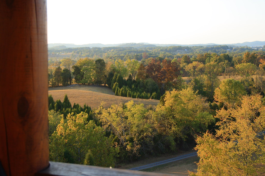
View from the cabin 1

Soooo..... this is the view from our room :-)

View from the cabin 2

Rollin' Rollin' Rollin' my view from the backseat

Captain Casey says this isn't the view he prefers on Tennessee interstate 40.
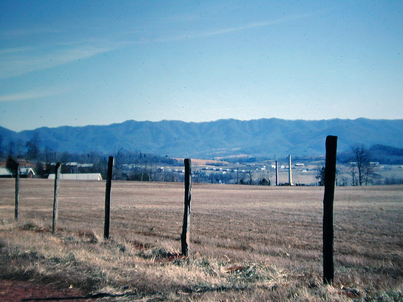
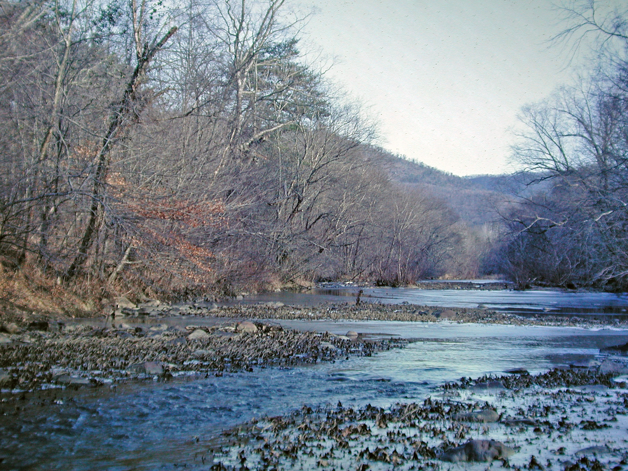
View at Newport, Tennessee, 1968

#forestfires #smoke #dryleaves

Parrottsville Country
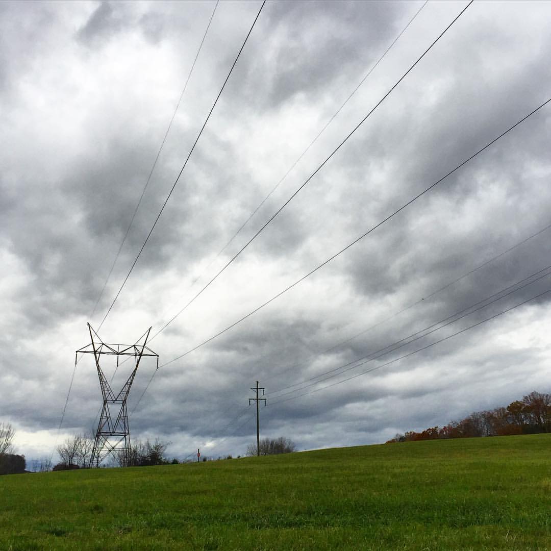
#stormyweather #clouds_of_our_world #cloudscape #fallweather

Farming in the Upper East Tennessee Valley
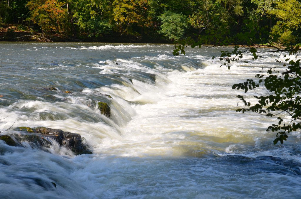
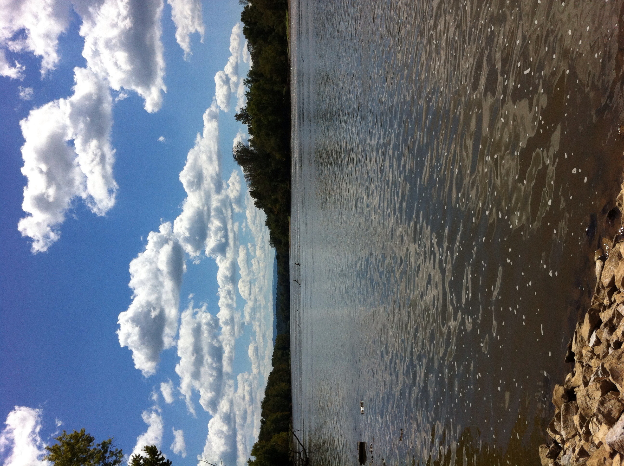
French Broad River, near Hot Springs, NC
French Broad River
P1011997.JPG
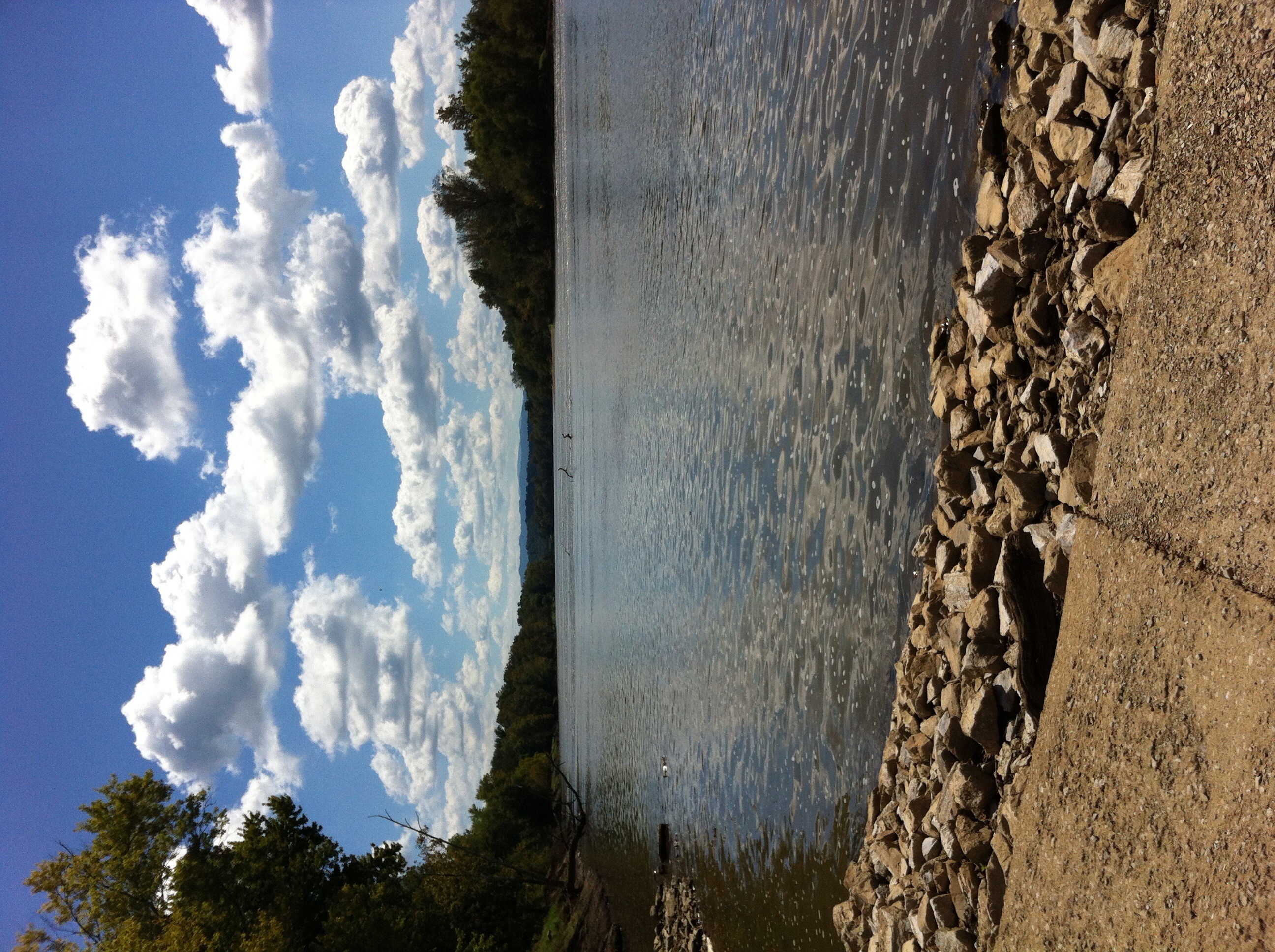
The French Broad River
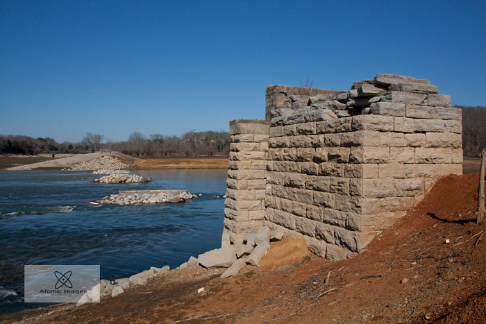
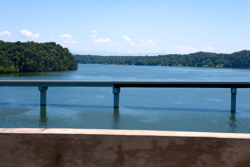
A Forgotten Bridge
French Broad River
P1011983.JPG
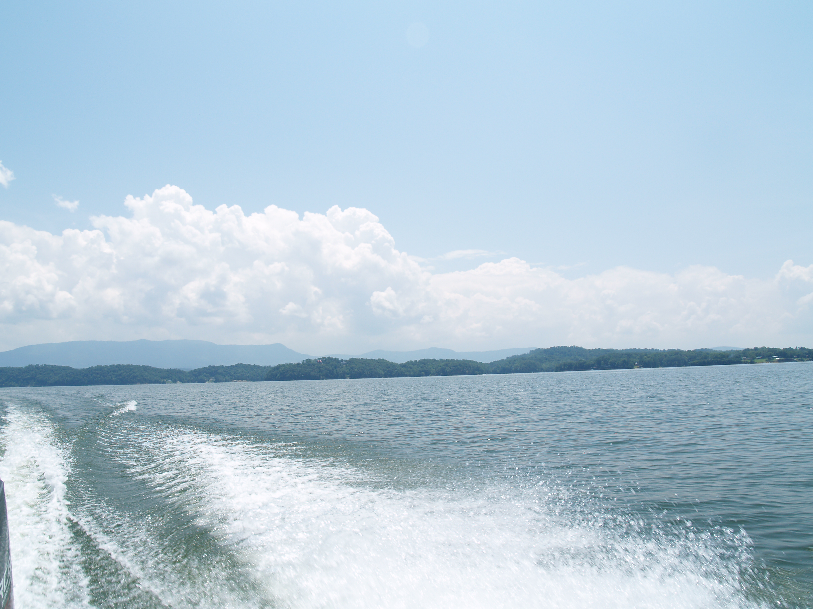
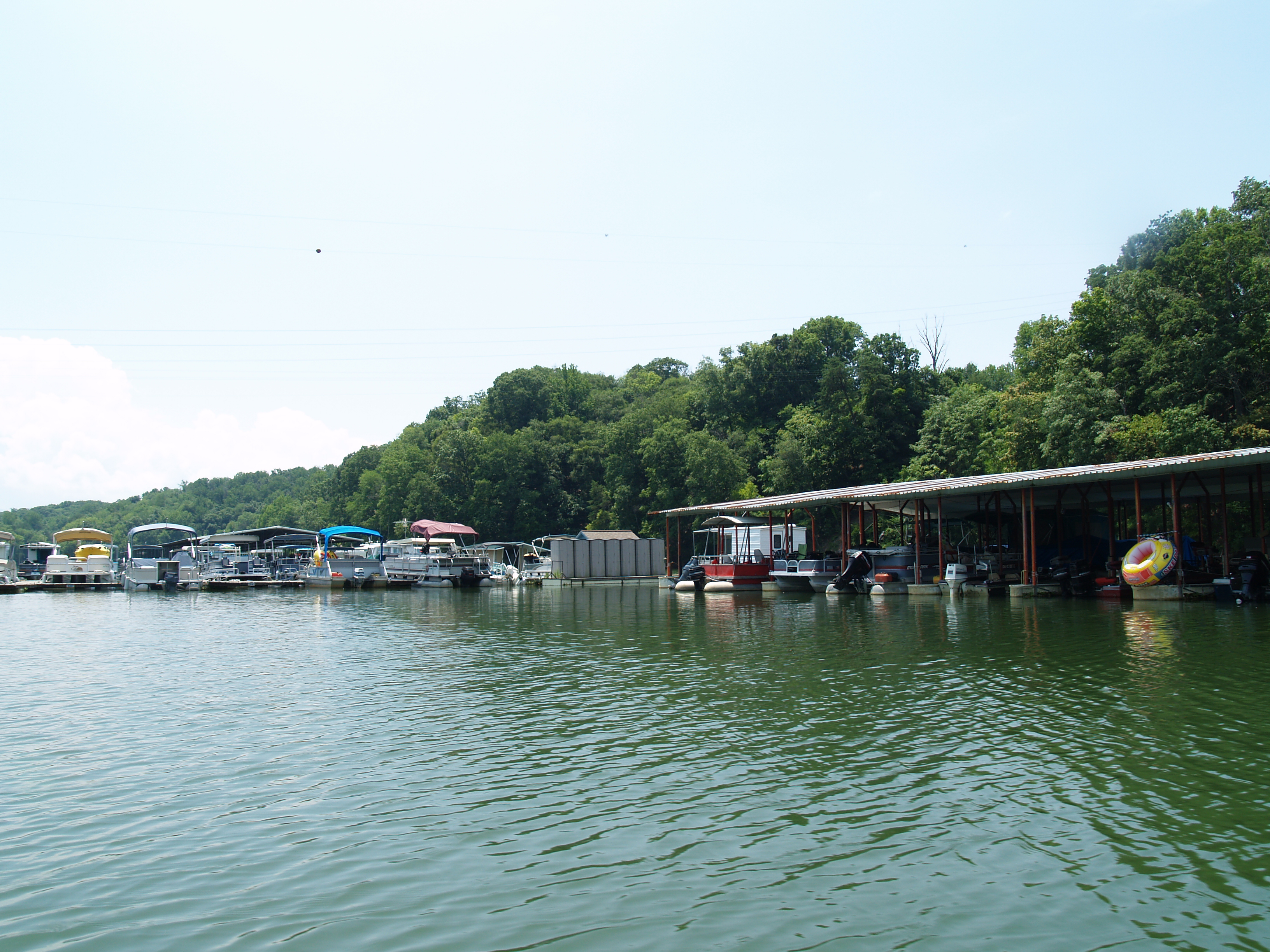
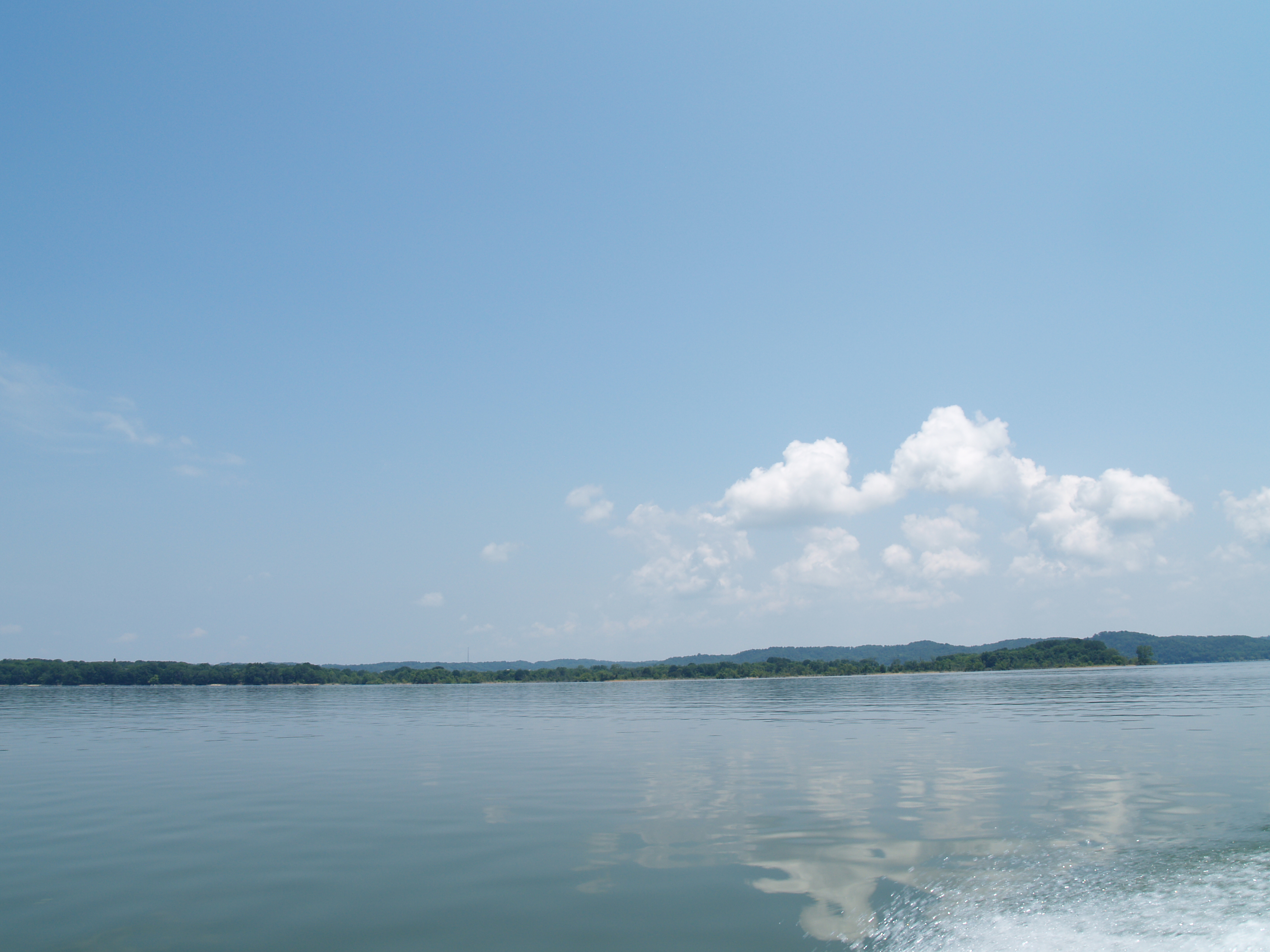
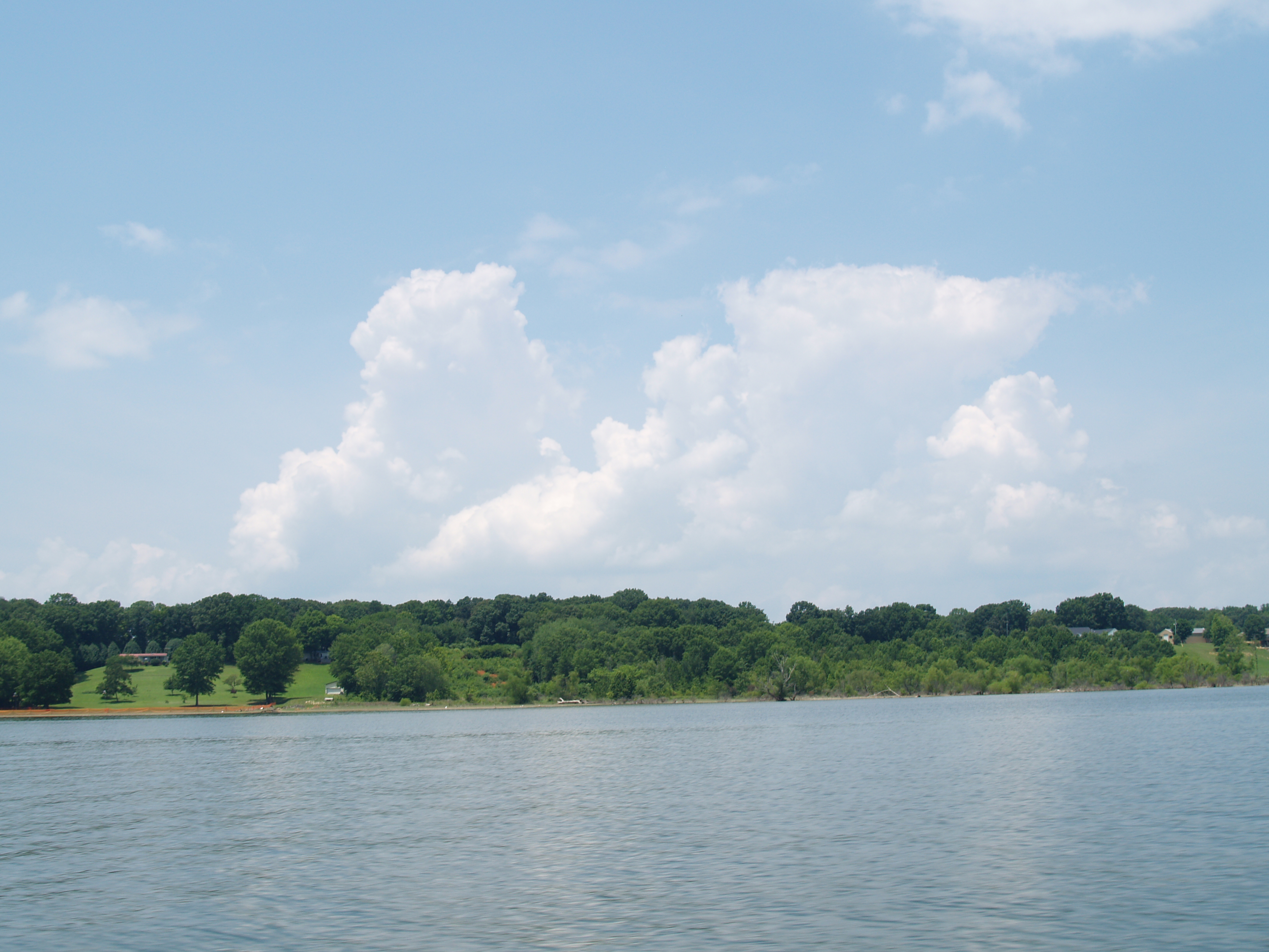
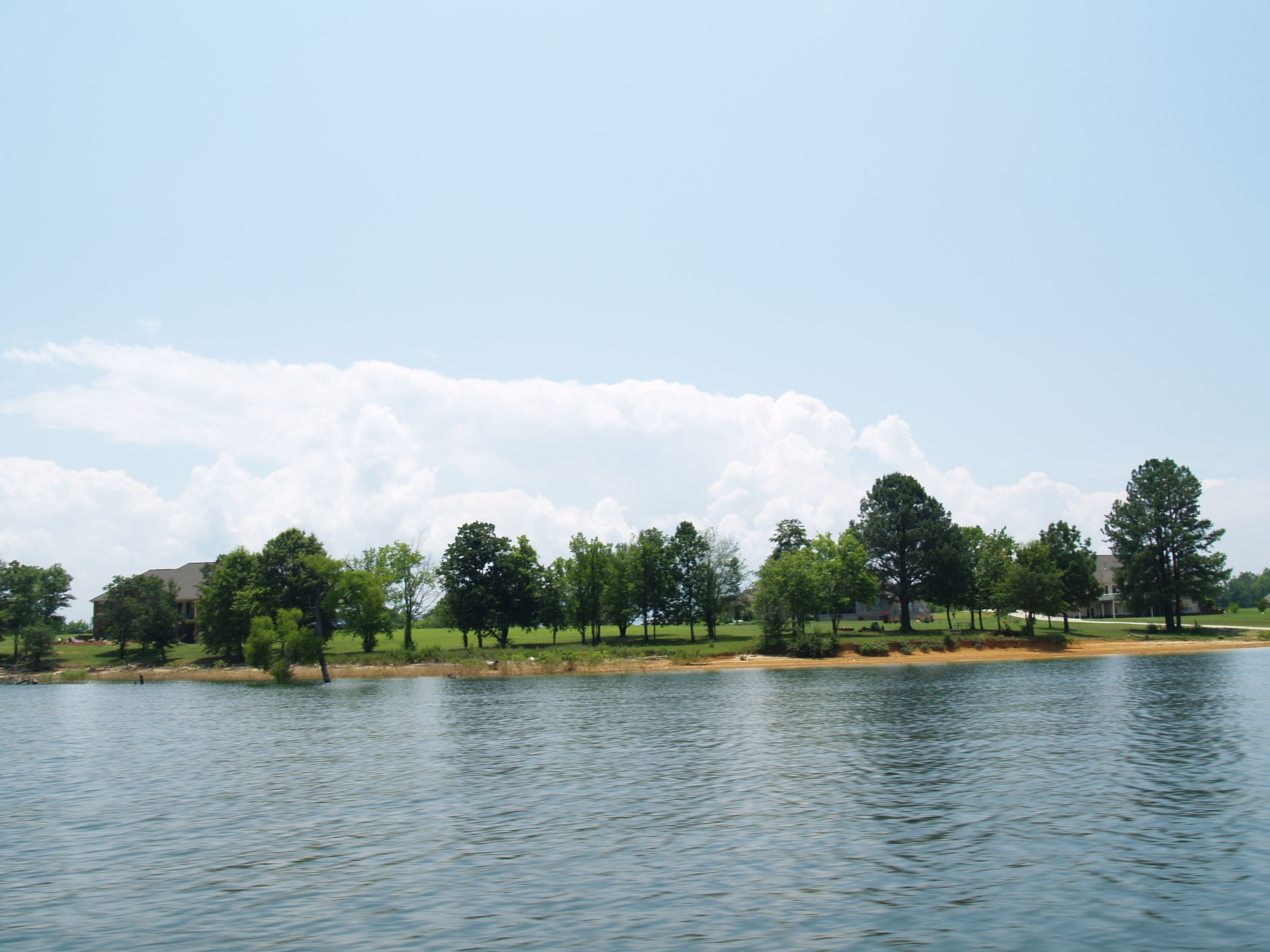
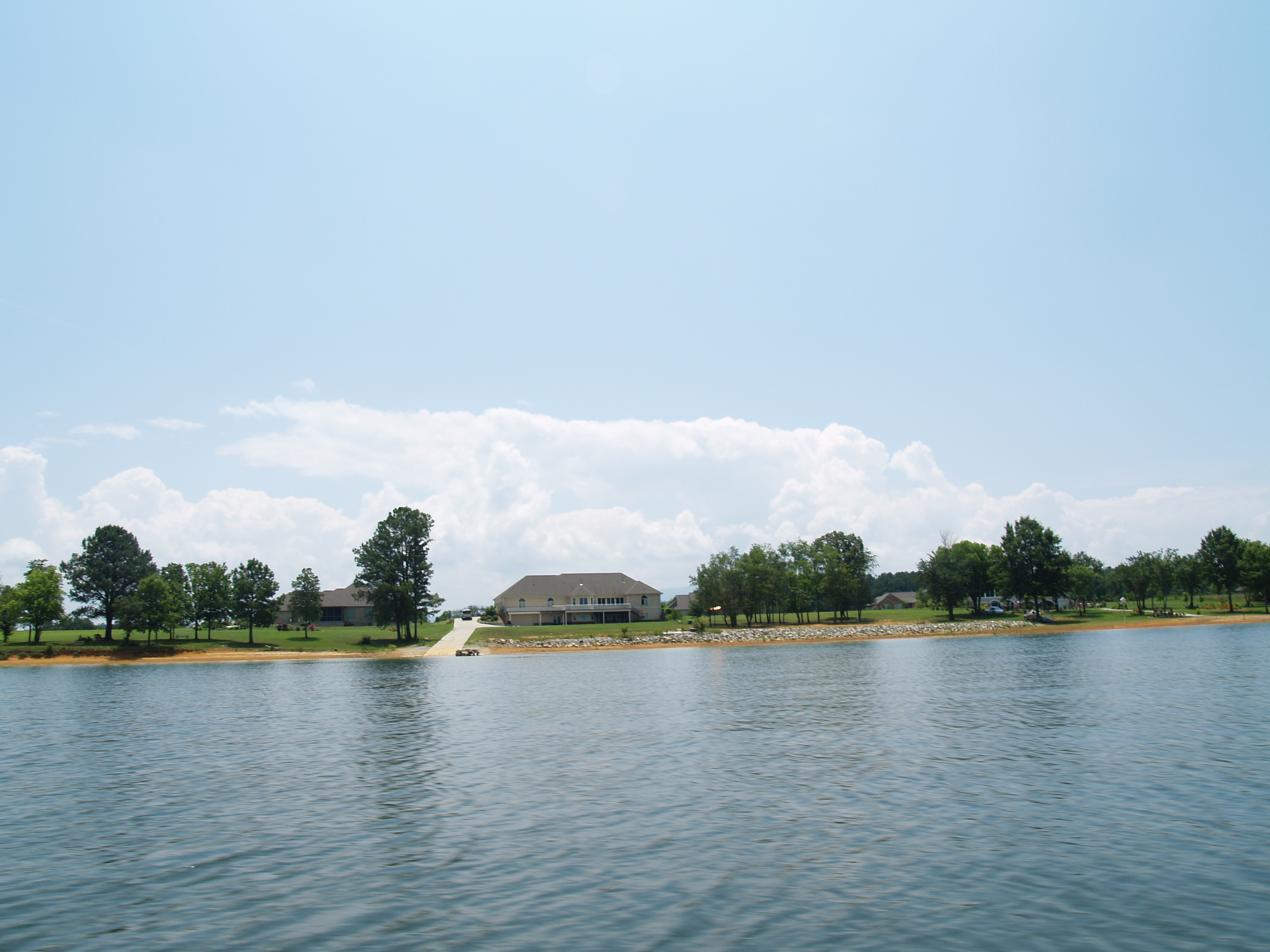
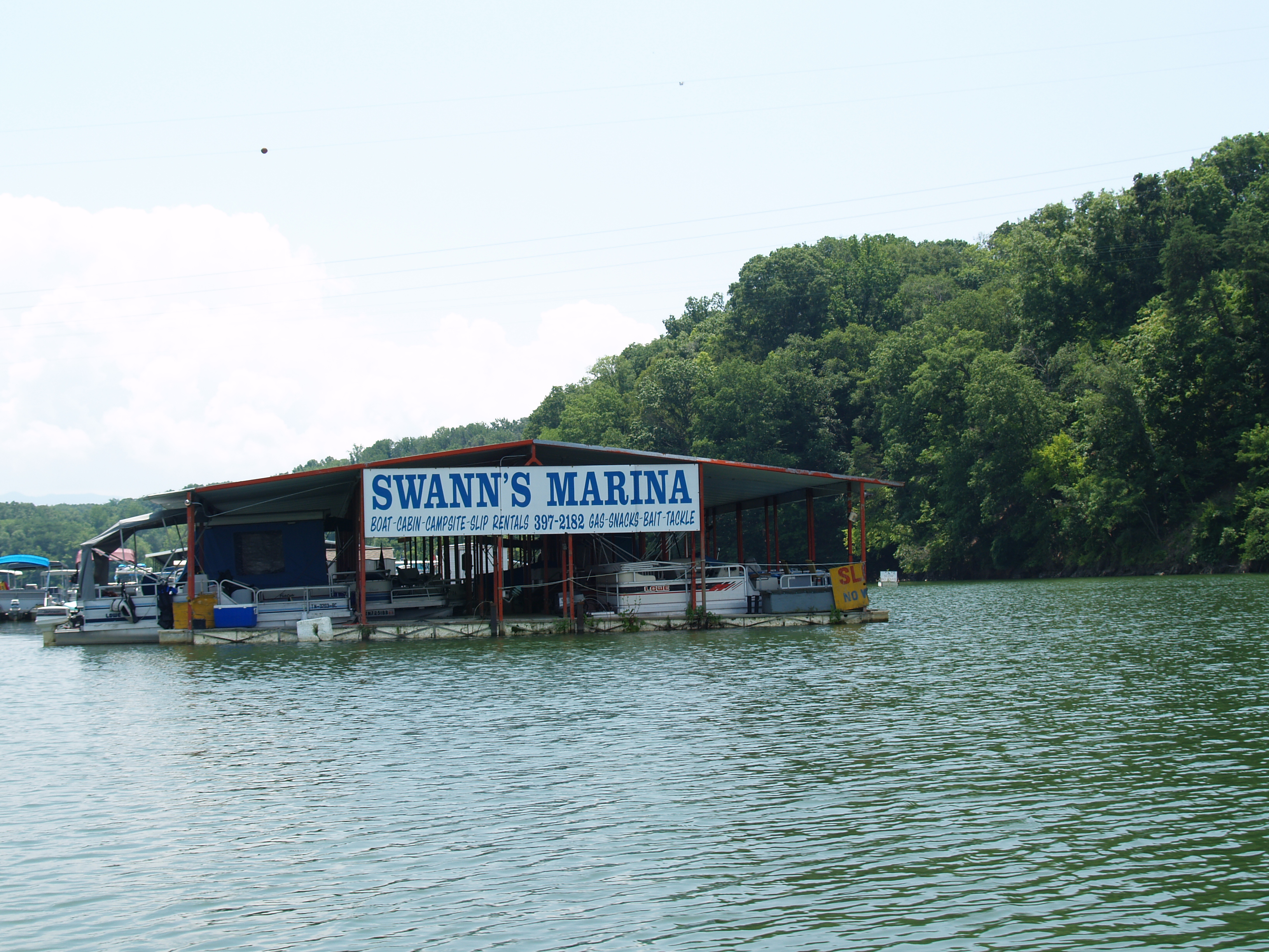
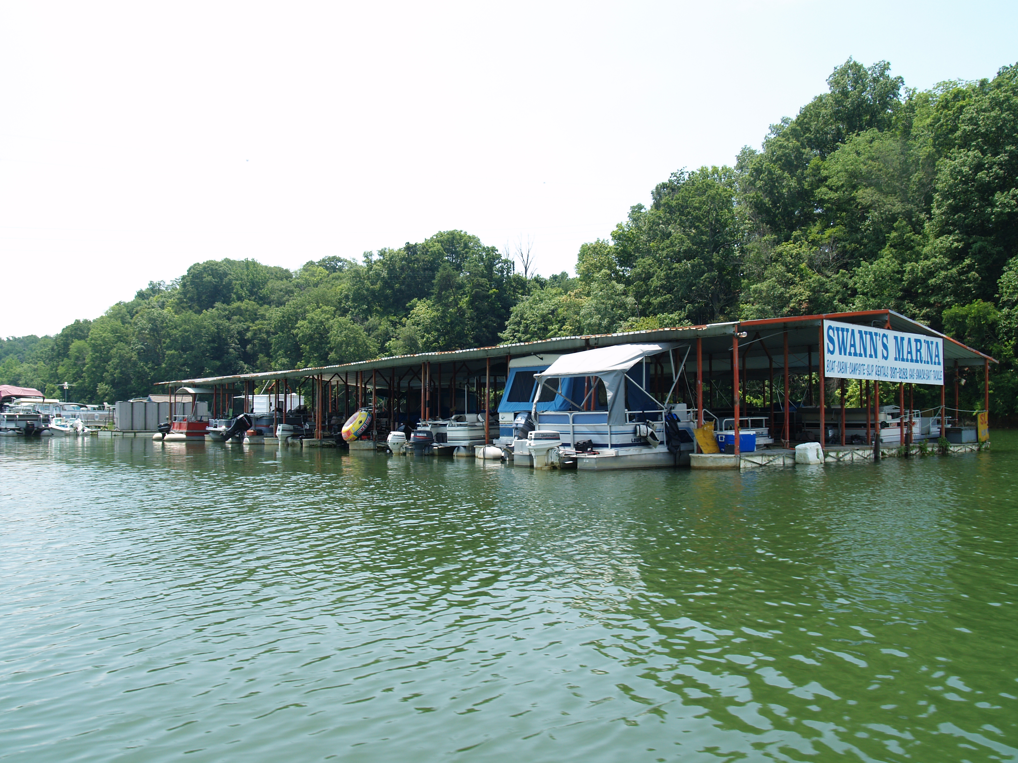
Douglas Lake _R6D2678e1
P1011976.JPG
P1011963.JPG
P1011961.JPG
P1011966.JPG

P1012002.JPG
P1011967.JPG
P1011979.JPG
P1011982.JPG
Topographic Map of Hill Rd, Newport, TN, USA
Find elevation by address:

Places near Hill Rd, Newport, TN, USA:
Rankin Hill Rd, Newport, TN, USA
Bybee
TN-, Bybee, TN, USA
Leepers Ferry Rd, White Pine, TN, USA
3218 Duck Way
3362 Nina Rd
4154 High Point Way
White Birch Road
925 Hwy 25 32
Nina Road
Nina Road
575 Lonesome Pine Rd
5712 Fishing Rod Ln
104 Briar Thicket Rd
3145 Old Airport Rd
Leadmine Rd, White Pine, TN, USA
135 Jetty Way
3801 Point Pleasant Rd
3801 Point Pleasant Rd
3801 Point Pleasant Rd
Recent Searches:
- Elevation of Congressional Dr, Stevensville, MD, USA
- Elevation of Bellview Rd, McLean, VA, USA
- Elevation of Stage Island Rd, Chatham, MA, USA
- Elevation of Shibuya Scramble Crossing, 21 Udagawacho, Shibuya City, Tokyo -, Japan
- Elevation of Jadagoniai, Kaunas District Municipality, Lithuania
- Elevation of Pagonija rock, Kranto 7-oji g. 8"N, Kaunas, Lithuania
- Elevation of Co Rd 87, Jamestown, CO, USA
- Elevation of Tenjo, Cundinamarca, Colombia
- Elevation of Côte-des-Neiges, Montreal, QC H4A 3J6, Canada
- Elevation of Bobcat Dr, Helena, MT, USA