Elevation of Highridge Road, Highridge Rd, Johnson City, TN, USA
Location: United States > Tennessee > Washington County > Johnson City >
Longitude: -82.343373
Latitude: 36.2888732
Elevation: -10000m / -32808feet
Barometric Pressure: 295KPa
Elevation Map:
Satellite Map:
Related Photos:

Pinnacle Mountain Fire Tower HDR Panorama

Watching the Game

Buffalo Mountain Sunset_-1643-Edit

My view - what are you looking at right now?

Pinnacle Tower HDR Panorama 2

203 walking down path to parking lot

Buffalo Pano
The View Blows

First Presbyterian Church - Jonesborough, TN

Pinnacle Mountain Lookout Tower

201 Claire on the trail

First Presbyterian Church - Jonesborough, TN
Parents view.

195 Trail to top of hill at rest stop in Tennessee

Storefronts of Historic Elizabethton - Barnes Boring Hardware

May Isolation Theme Entry

Johnson City Country Club
Birchfiel Building (Ritz Theater)
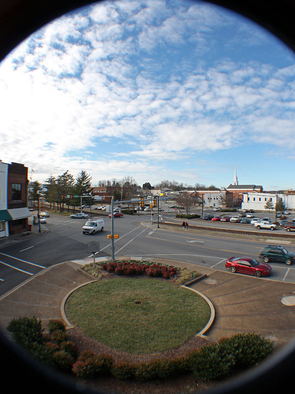
Great view

myspace 022
My view today

Pine Oaks Golf Course
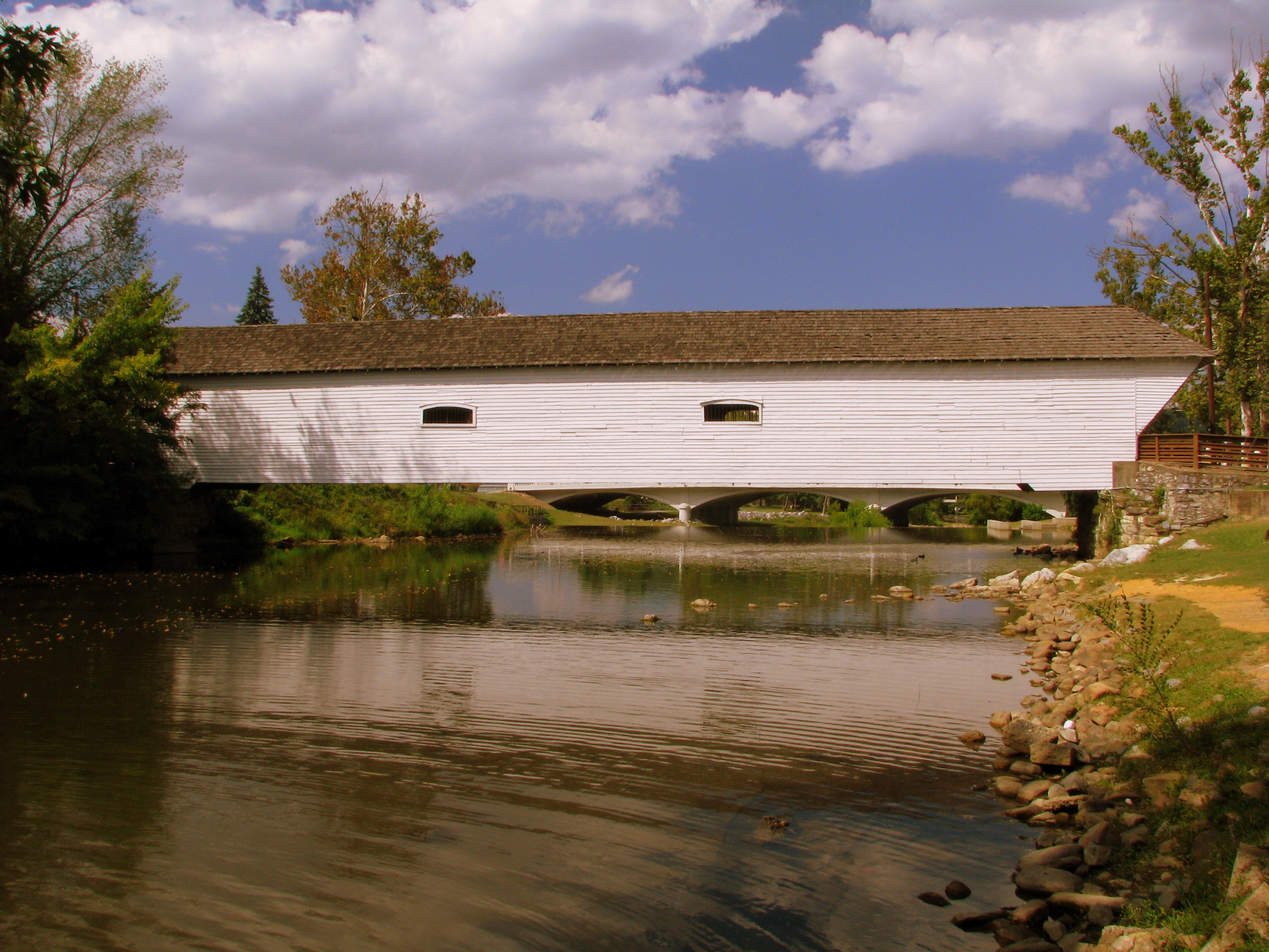
Doe River Covered Bridge

Nolichucky River

RED BARN
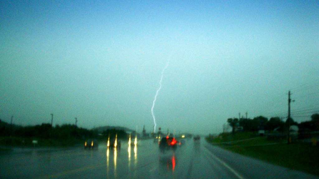
2009.06.18.01 Lightning

CSX N313-08 crossing over Boones Creek

Wautauga River

Weather Up Ahead

Wetenschap Heuvel

P1000298.JPG

Jonesborough, TN Rainbow

East Tennessee Farm (Sullivan County, Tennessee)

Elizabethton's Covered Bridge

Dark Hollow Creek

Lucky? Or dead ? Luck and Fate

IMG_1583.JPG

Dark Hollow - Stinking Creek
Topographic Map of Highridge Road, Highridge Rd, Johnson City, TN, USA
Find elevation by address:

Places near Highridge Road, Highridge Rd, Johnson City, TN, USA:
Highridge Road
Buffalo Mountain Park
904 Echo Ln
311 Holly St
Honeysuckle Lane
Tree Streets
1111 Southwest Ave
124 Old Watson Rd
701 W Locust St
Johnson City, TN, USA
Tip Top
1619 Strawberry Ln
Buffalo Mountain
Milligan Hwy, Johnson City, TN, USA
734 W Maple St
4 Cherokee Ridge Ct
Johnson City
Gilbreath Drive
184 Woodland Dr
3061 S Roan St
Recent Searches:
- Elevation of 7 Waterfall Way, Tomball, TX, USA
- Elevation of SW 57th Ave, Portland, OR, USA
- Elevation of Crocker Dr, Vacaville, CA, USA
- Elevation of Pu Ngaol Community Meeting Hall, HWHM+3X7, Krong Saen Monourom, Cambodia
- Elevation of Royal Ontario Museum, Queens Park, Toronto, ON M5S 2C6, Canada
- Elevation of Groblershoop, South Africa
- Elevation of Power Generation Enterprises | Industrial Diesel Generators, Oak Ave, Canyon Country, CA, USA
- Elevation of Chesaw Rd, Oroville, WA, USA
- Elevation of N, Mt Pleasant, UT, USA
- Elevation of 6 Rue Jules Ferry, Beausoleil, France