Elevation of Gilbreath Drive, Gilbreath Dr, Johnson City, TN, USA
Location: United States > Tennessee > Washington County > Johnson City >
Longitude: -82.366546
Latitude: 36.3048931
Elevation: 512m / 1680feet
Barometric Pressure: 95KPa
Elevation Map:
Satellite Map:
Related Photos:

Watching the Game
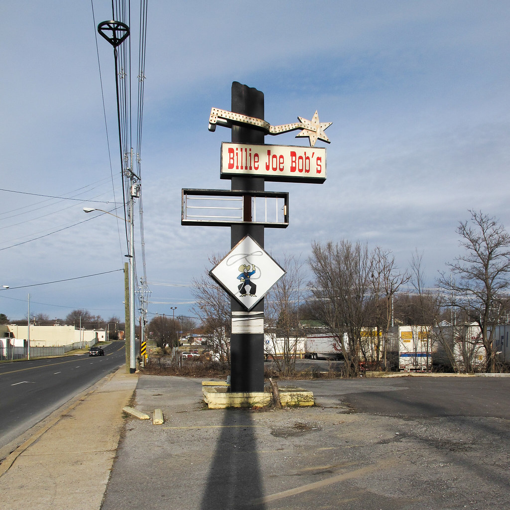
Cowboy drinking establishment of this urbanized region of the southern Appalachians.

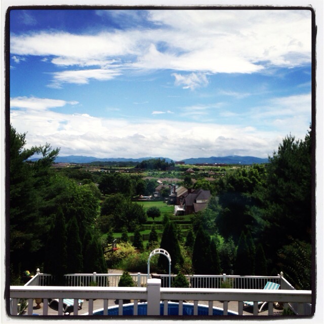
My view - what are you looking at right now?
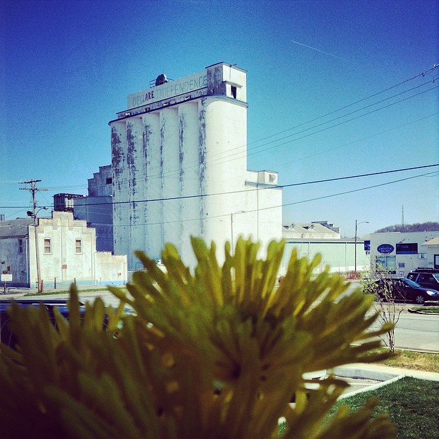
Lunch w a view of the Model Mill. Join us Sun 4pm @thefirehouse for Walking History Tour of the Model Mill

203 walking down path to parking lot

Pinnacle Mountain Fire Tower HDR Panorama

Buffalo Pano

First Presbyterian Church - Jonesborough, TN

2013.12.27 125K Views

Parents view.

195 Trail to top of hill at rest stop in Tennessee

201 Claire on the trail

Pinnacle Tower HDR Panorama 2
myspace 023

First Presbyterian Church - Jonesborough, TN
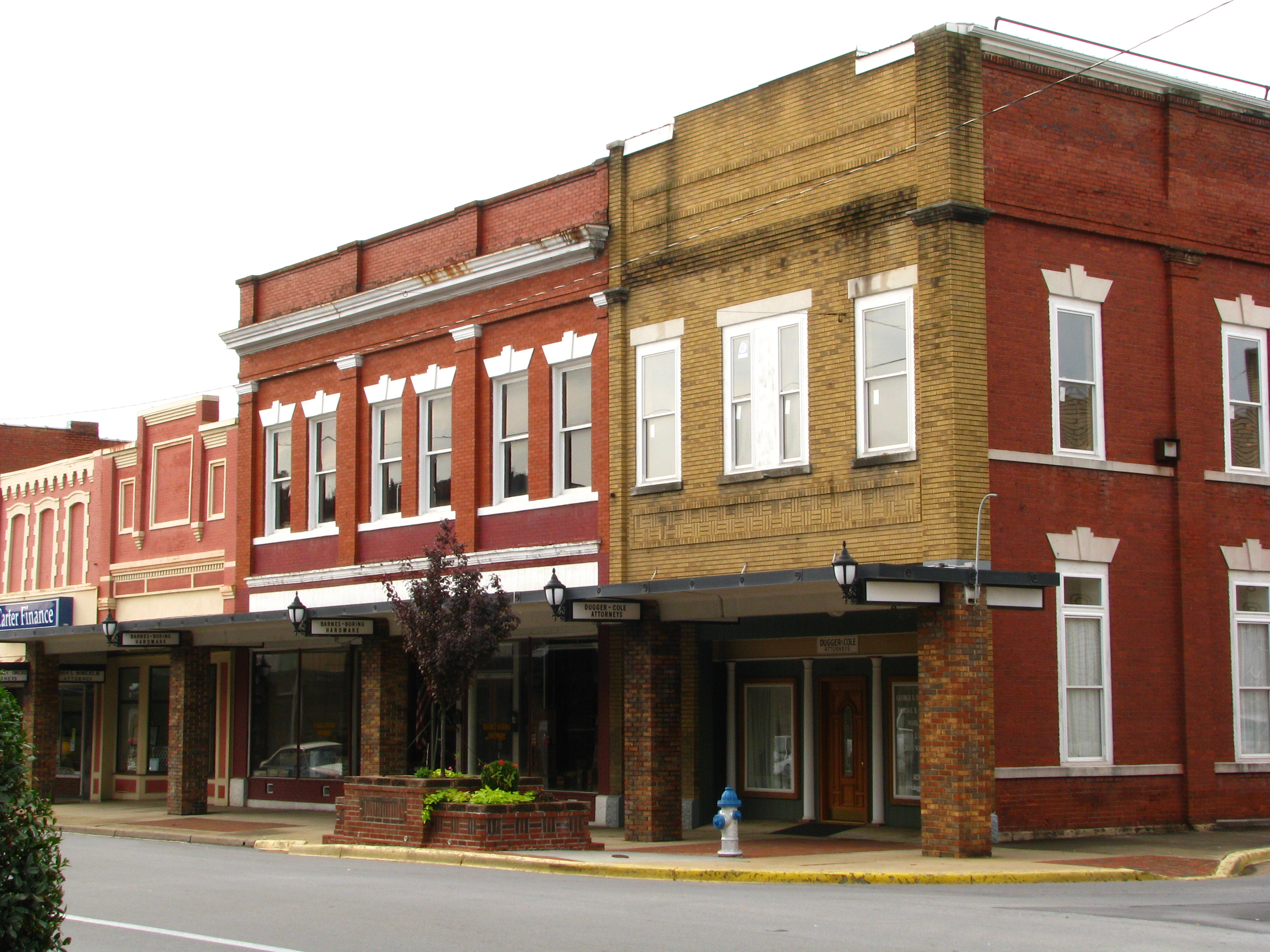
Storefronts of Historic Elizabethton - Barnes Boring Hardware
Great view
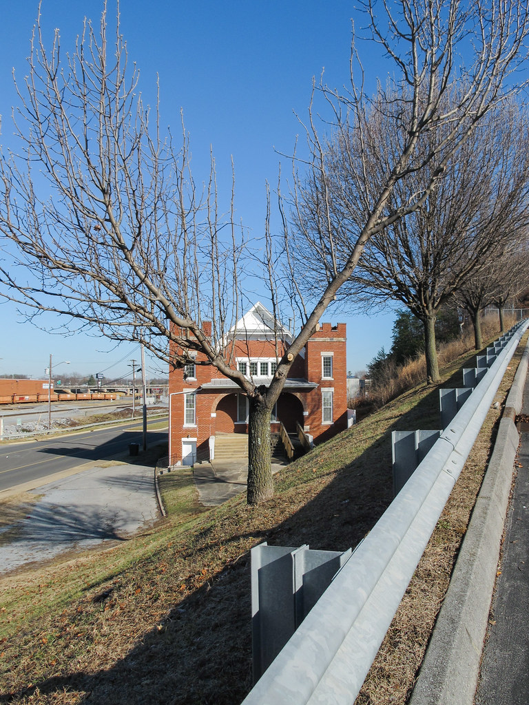
A view of a building!

myspace 022

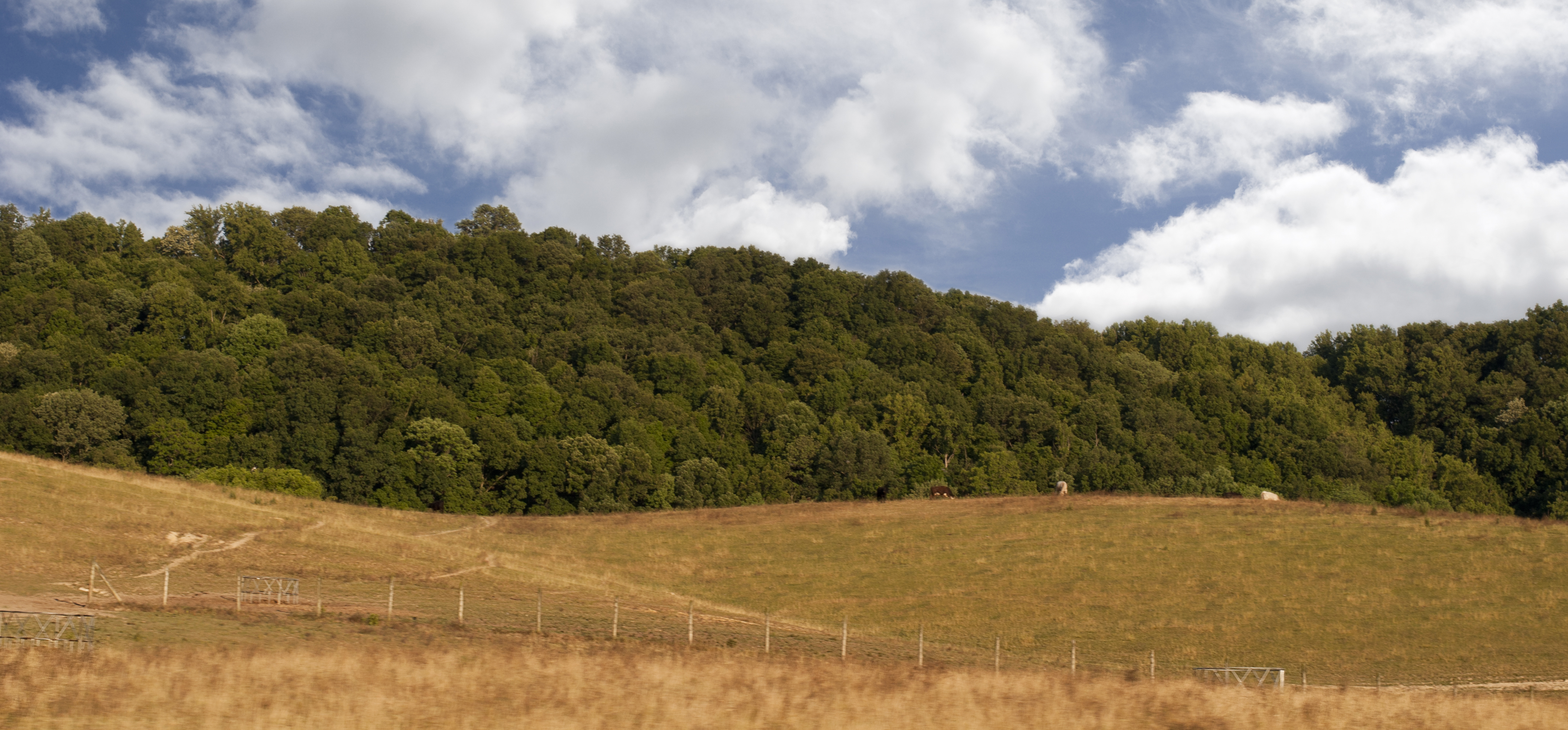
Buffalo Mountain
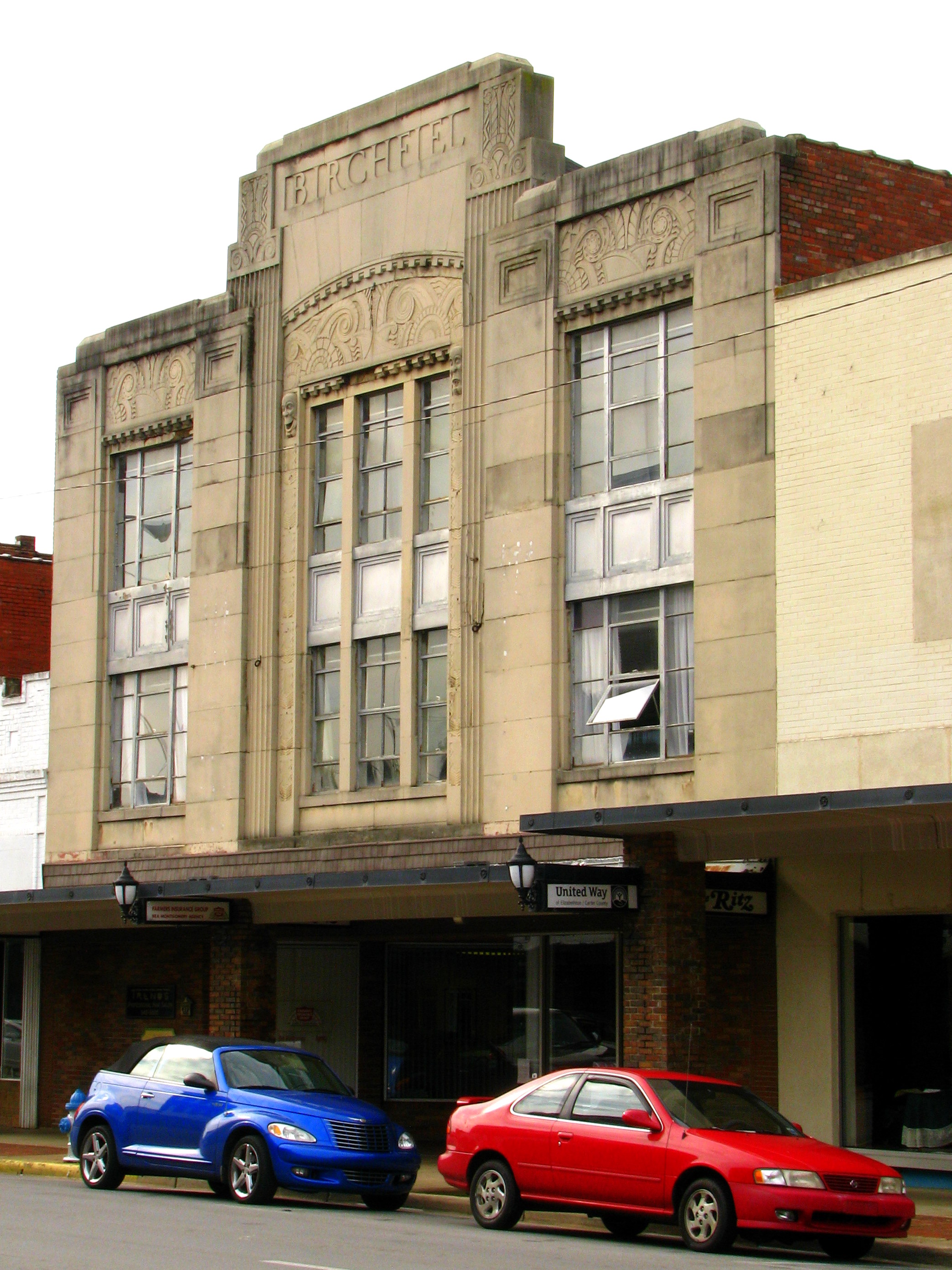
Birchfiel Building (Ritz Theater)

WP_20141124_040.JPG

Doe River Covered Bridge

Wautauga River

Pine Oaks Golf Course

#firetower #pinnacle #Unicoi #forecast #weatherforecast

Nolichucky River
Luscious Landscape Layers
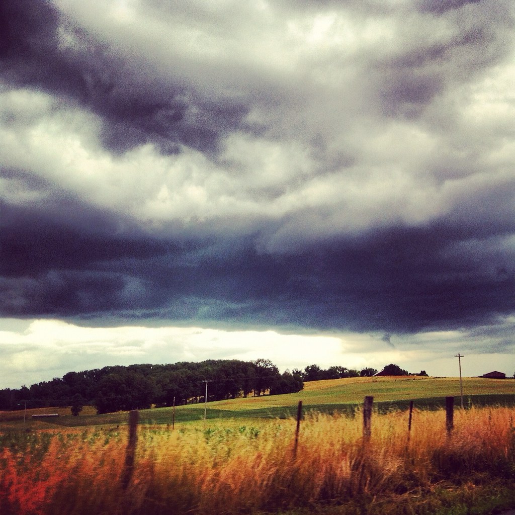
Weather Up Ahead

IMG_0160.JPG

Wetenschap Heuvel
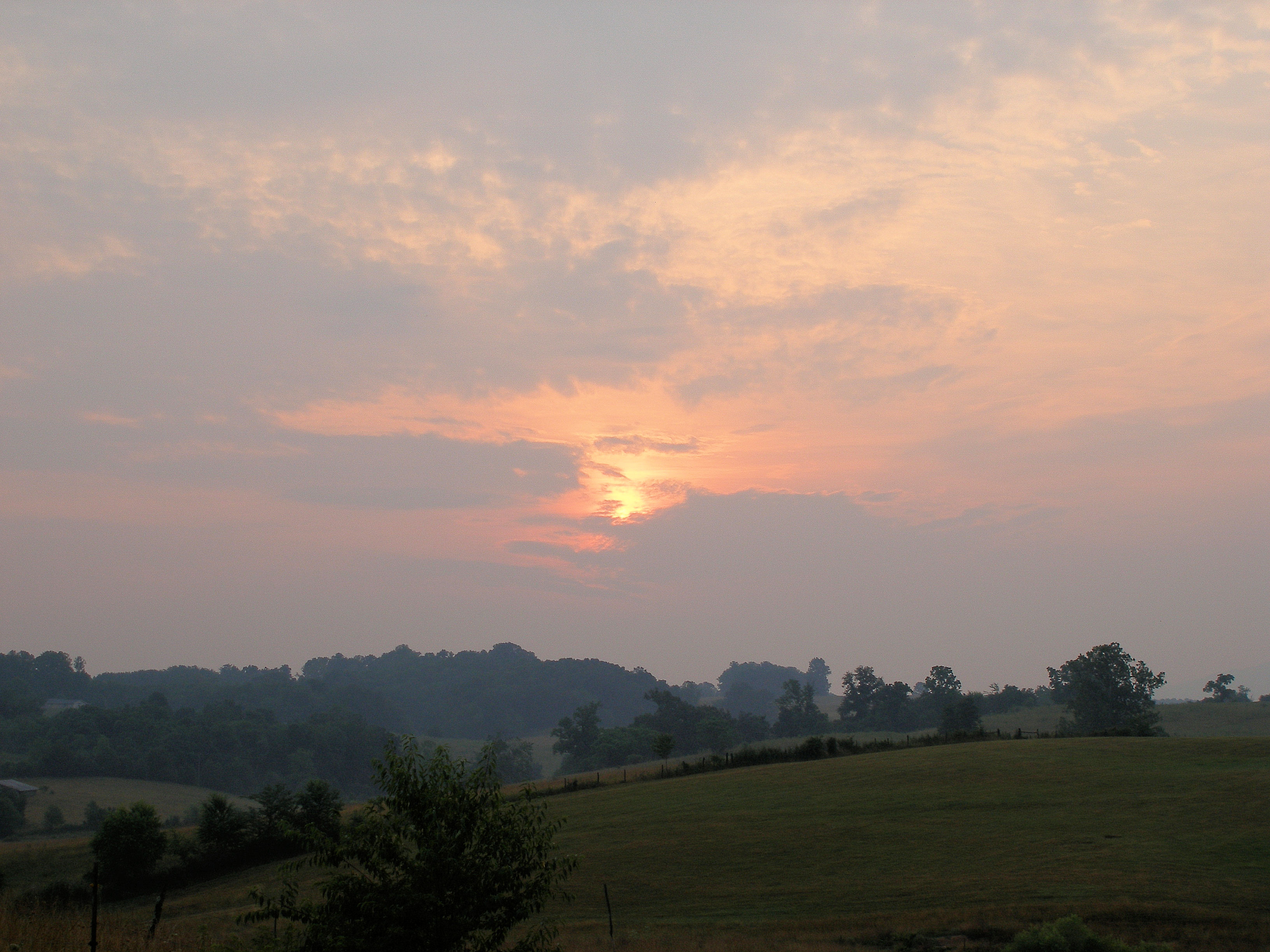
Spring Sunrise
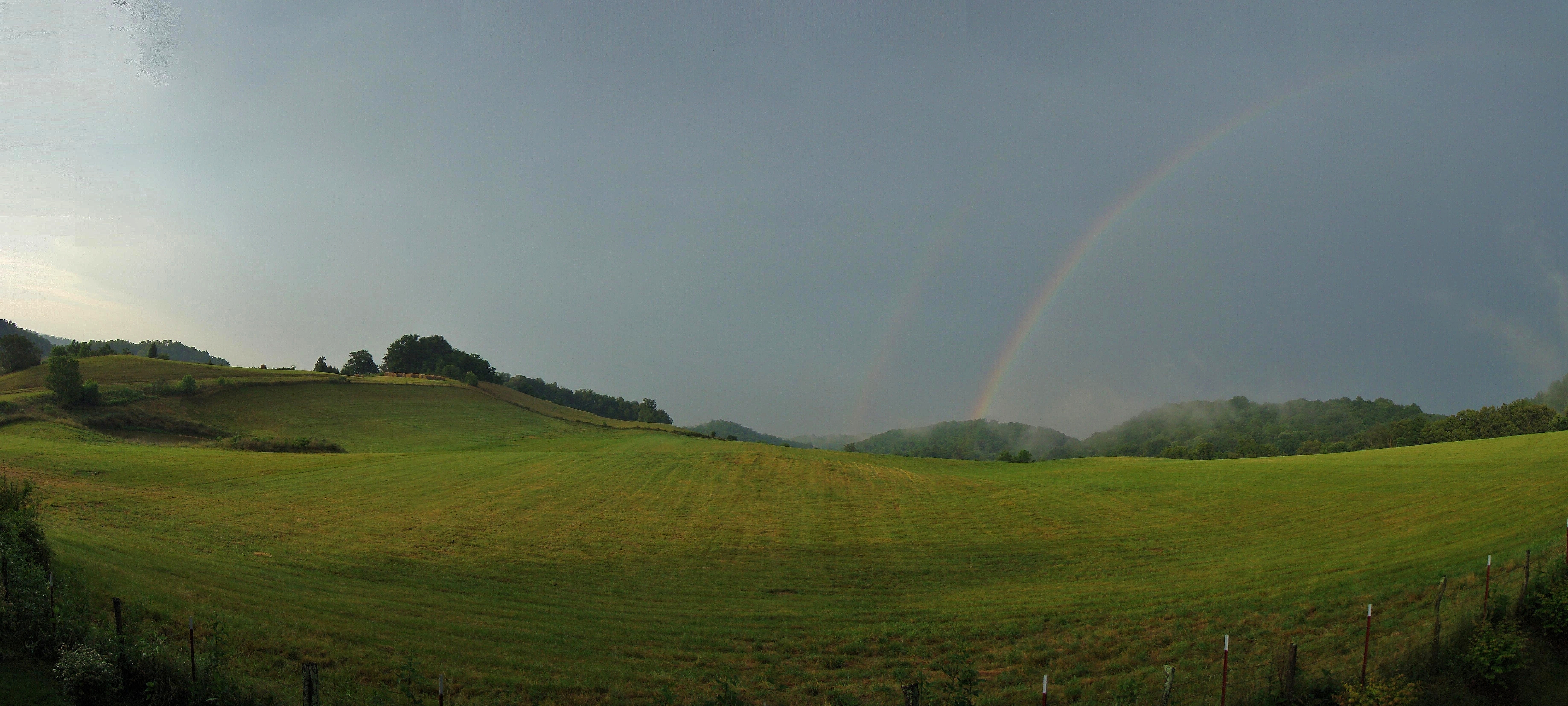
Jonesborough, TN Rainbow

RED BARN

IMG_1583.JPG
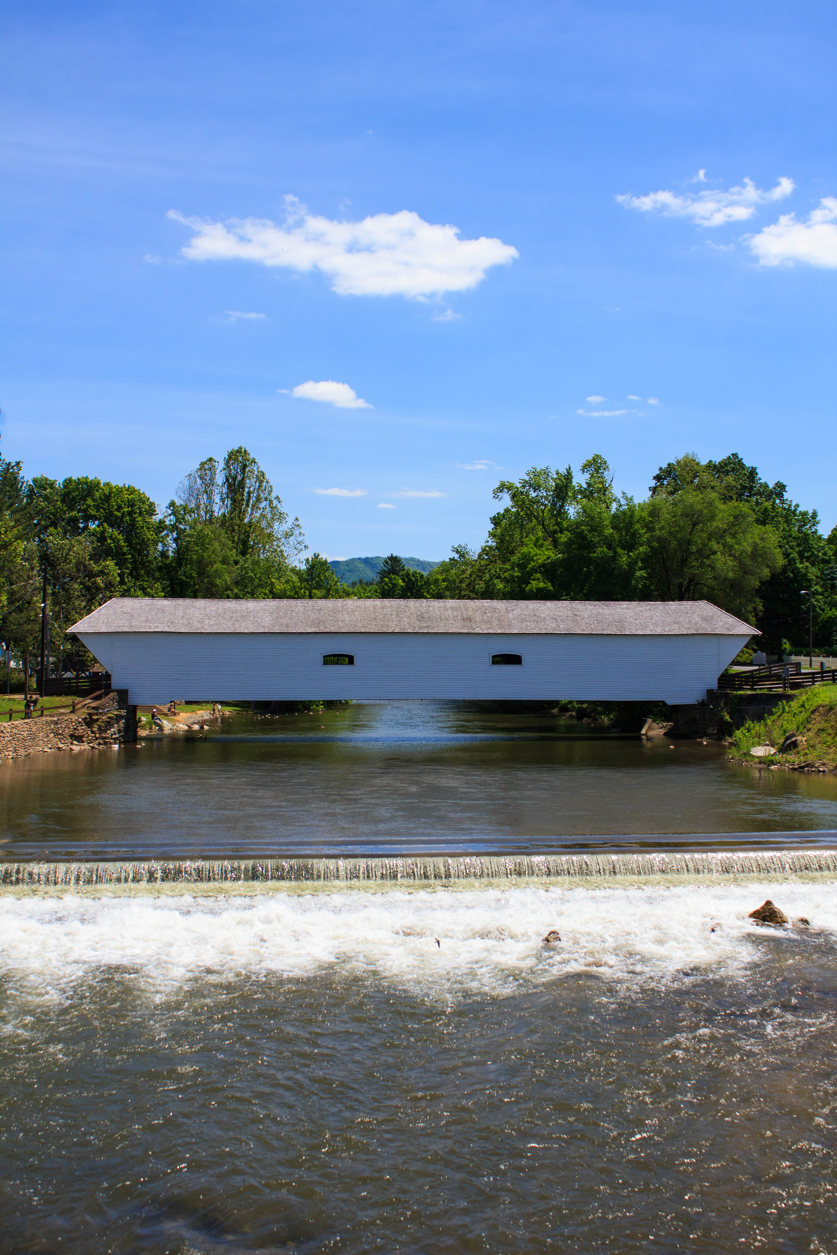
Elizabethton's Covered Bridge

spoiler - Green Mossy Tree
Dark Hollow Creek
Topographic Map of Gilbreath Drive, Gilbreath Dr, Johnson City, TN, USA
Find elevation by address:

Places near Gilbreath Drive, Gilbreath Dr, Johnson City, TN, USA:
Johnson City, TN, USA
East Tennessee State University
734 W Maple St
1111 Southwest Ave
701 W Locust St
Tree Streets
904 Echo Ln
East Tennessee State University - Quillen College Of Medicine
6 Perry Cir
Johnson City
Honeysuckle Lane
4 Cherokee Ridge Ct
311 Holly St
2 Sw Foxxborough Ln
2209 S Greenwood Dr
1619 Strawberry Ln
1212 Welbourne St
1407 Lone Oak Rd
111 Ridgemont Rd
Oak Ln, Johnson City, TN, USA
Recent Searches:
- Elevation of Tenjo, Cundinamarca, Colombia
- Elevation of Côte-des-Neiges, Montreal, QC H4A 3J6, Canada
- Elevation of Bobcat Dr, Helena, MT, USA
- Elevation of Zu den Ihlowbergen, Althüttendorf, Germany
- Elevation of Badaber, Peshawar, Khyber Pakhtunkhwa, Pakistan
- Elevation of SE Heron Loop, Lincoln City, OR, USA
- Elevation of Slanický ostrov, 01 Námestovo, Slovakia
- Elevation of Spaceport America, Co Rd A, Truth or Consequences, NM, USA
- Elevation of Warwick, RI, USA
- Elevation of Fern Rd, Whitmore, CA, USA