Elevation of Highland View Dr, Arlington, WA, USA
Location: United States > Washington > Snohomish County > Arlington >
Longitude: -122.13555
Latitude: 48.1579909
Elevation: 83m / 272feet
Barometric Pressure: 100KPa
Elevation Map:
Satellite Map:
Related Photos:
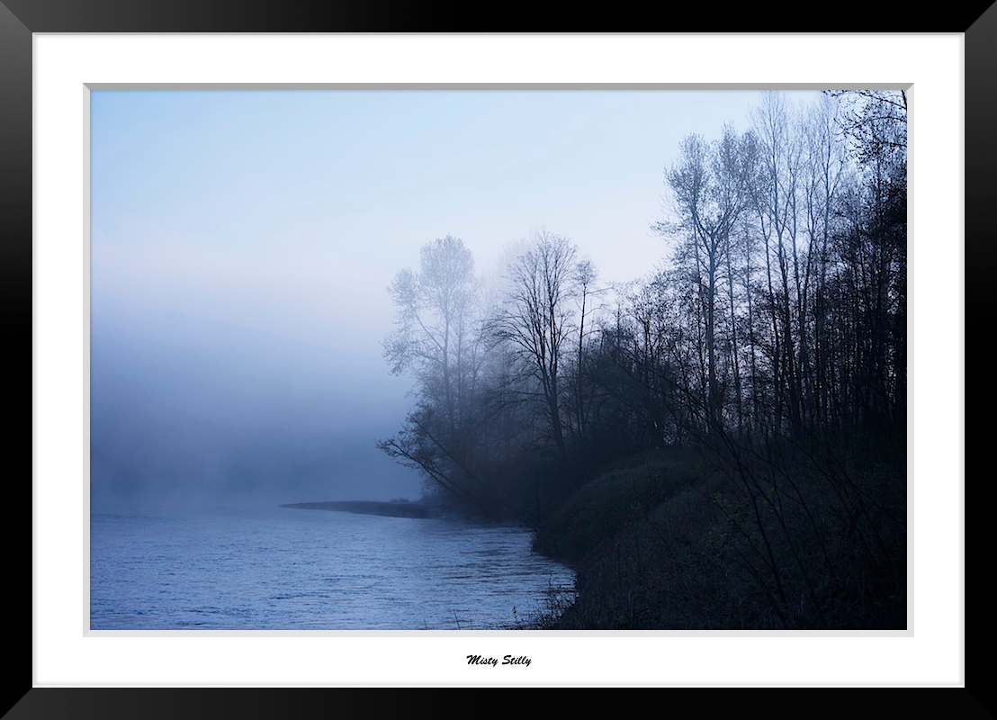
Misty Stilly

Pilchuck's Alpenglow

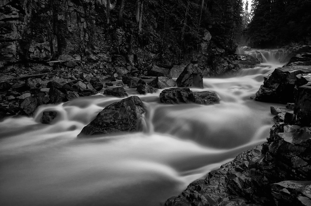
The river wild
Granite in Gray

Dog's Eye View.
Lake Cassidy WA
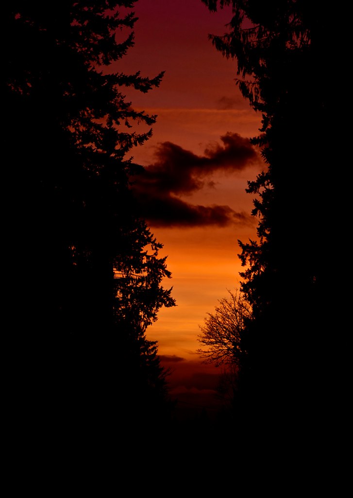
Sunset through the trees
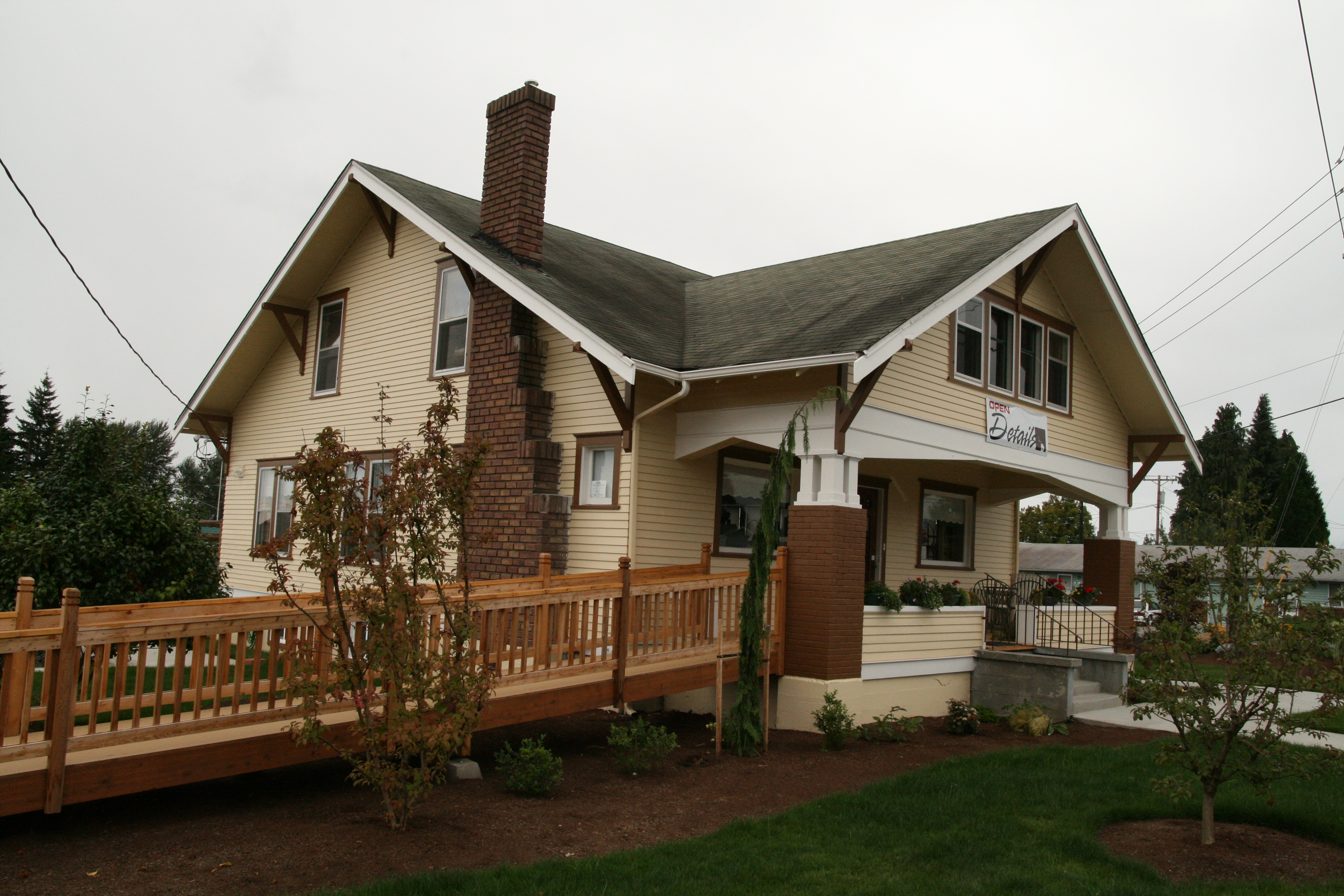
Details Home Decor & Gifts
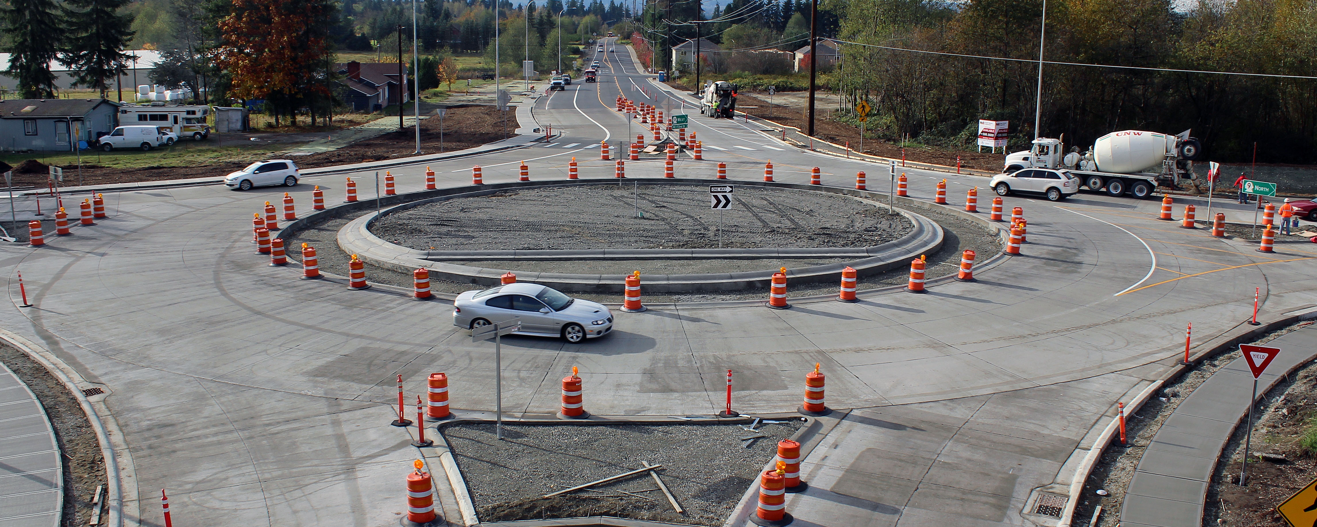
New SR 9 roundabout in Arlington

Diamond T Flatbed ( Explored ).

Snohomish River Bridge viewed from Amtrak Cascades Train in Washington State
Nothing but the Pilings
LV1293DSC00676.JPG
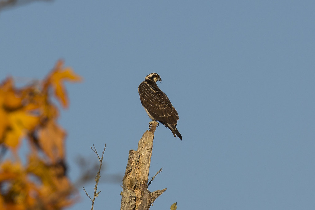
Osprey (3793) (eBird Rarity)
DSC06167.JPG
DSC06275.JPG
LV1312DSC00695.JPG
LV0150DSC09825.JPG
LV1281DSC00664.JPG
LV0151DSC09826.JPG
LV1282DSC00665.JPG
Nature's Foggy Mirror
Frozen Fog

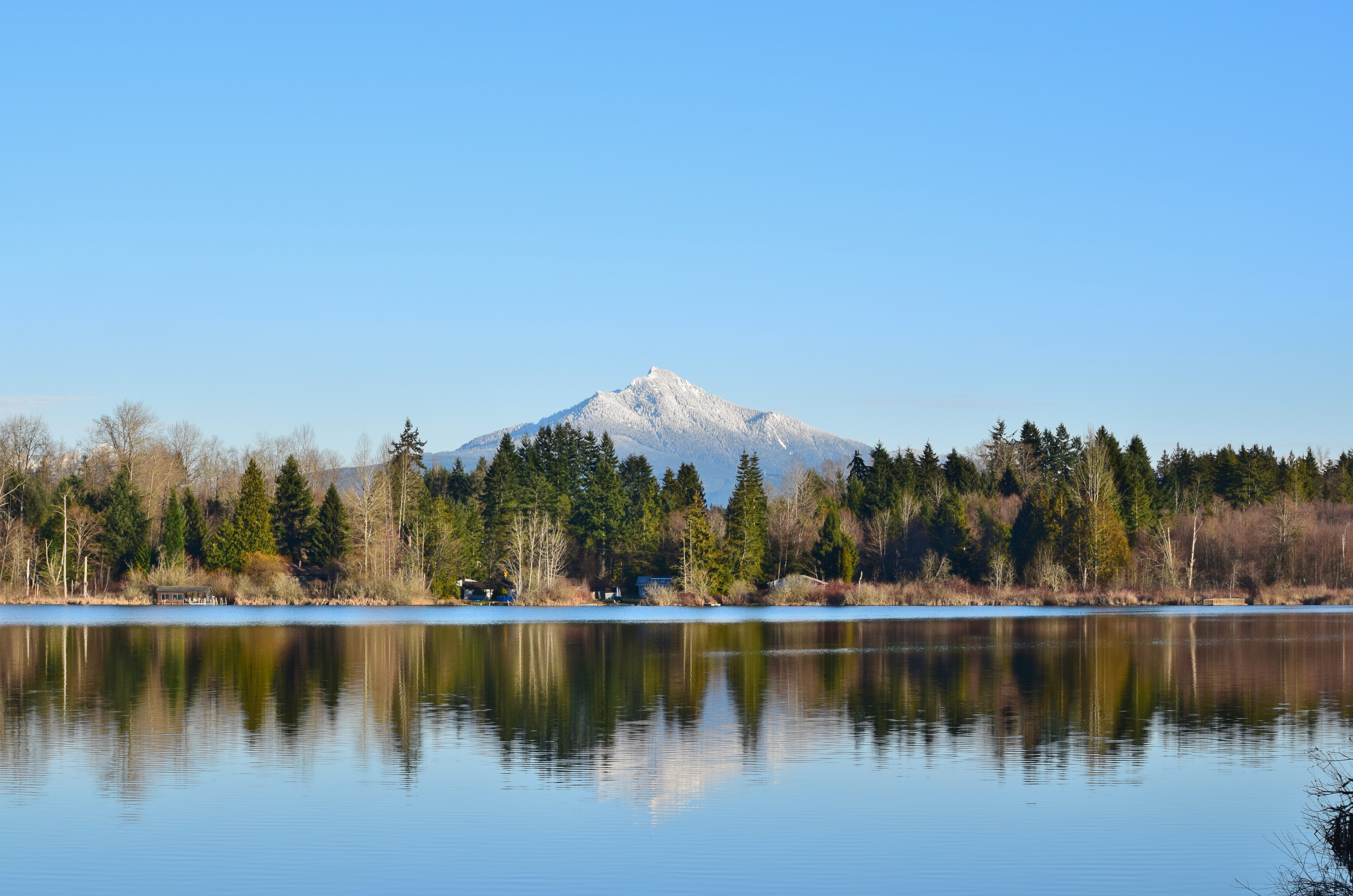
Good Morning, Mountain
Watercolor photo

Tulips Sunrise

Angry cloud

Shells on the Shore

Granite Falls
Union Sough, Everett

Sunset over Lake Cassidy
Big ol caves.

Nakashima Barn Star Trail

Arlington field in the morning
Silvana Sunset
Smokey Point

Farmland & Mountains
Smokey Point

2012-09-11__IMG0826 6 images-Edit

In the shadows
Topographic Map of Highland View Dr, Arlington, WA, USA
Find elevation by address:

Places near Highland View Dr, Arlington, WA, USA:
6915 Woodlands Way
17500 74th Dr Ne
Greenwood Rd, Arlington, WA, USA
18520 67th Ave Ne
7707 Kestrel Ct
17825 59th Ave Ne
17400 85th Ave Ne
8420 186th St Ne
29829 91st Ave Ne
148th Place Northeast
14731 56th Avenue Northeast
13825 51st Dr Ne
10320 164th St Ne
5728 130th Pl Ne
15126 Mcelroy Rd
12905 51st Ave Ne
10703 168th St Ne
5202 128th Pl Ne
12623 54th Ave Ne
12727 51st Ave Ne
Recent Searches:
- Elevation of Groblershoop, South Africa
- Elevation of Power Generation Enterprises | Industrial Diesel Generators, Oak Ave, Canyon Country, CA, USA
- Elevation of Chesaw Rd, Oroville, WA, USA
- Elevation of N, Mt Pleasant, UT, USA
- Elevation of 6 Rue Jules Ferry, Beausoleil, France
- Elevation of Sattva Horizon, 4JC6+G9P, Vinayak Nagar, Kattigenahalli, Bengaluru, Karnataka, India
- Elevation of Great Brook Sports, Gold Star Hwy, Groton, CT, USA
- Elevation of 10 Mountain Laurels Dr, Nashua, NH, USA
- Elevation of 16 Gilboa Ln, Nashua, NH, USA
- Elevation of Laurel Rd, Townsend, TN, USA